A second round of editing and processing photos from Burma
Click HERE to download field notes of our Burma trip by Don Lyon
|
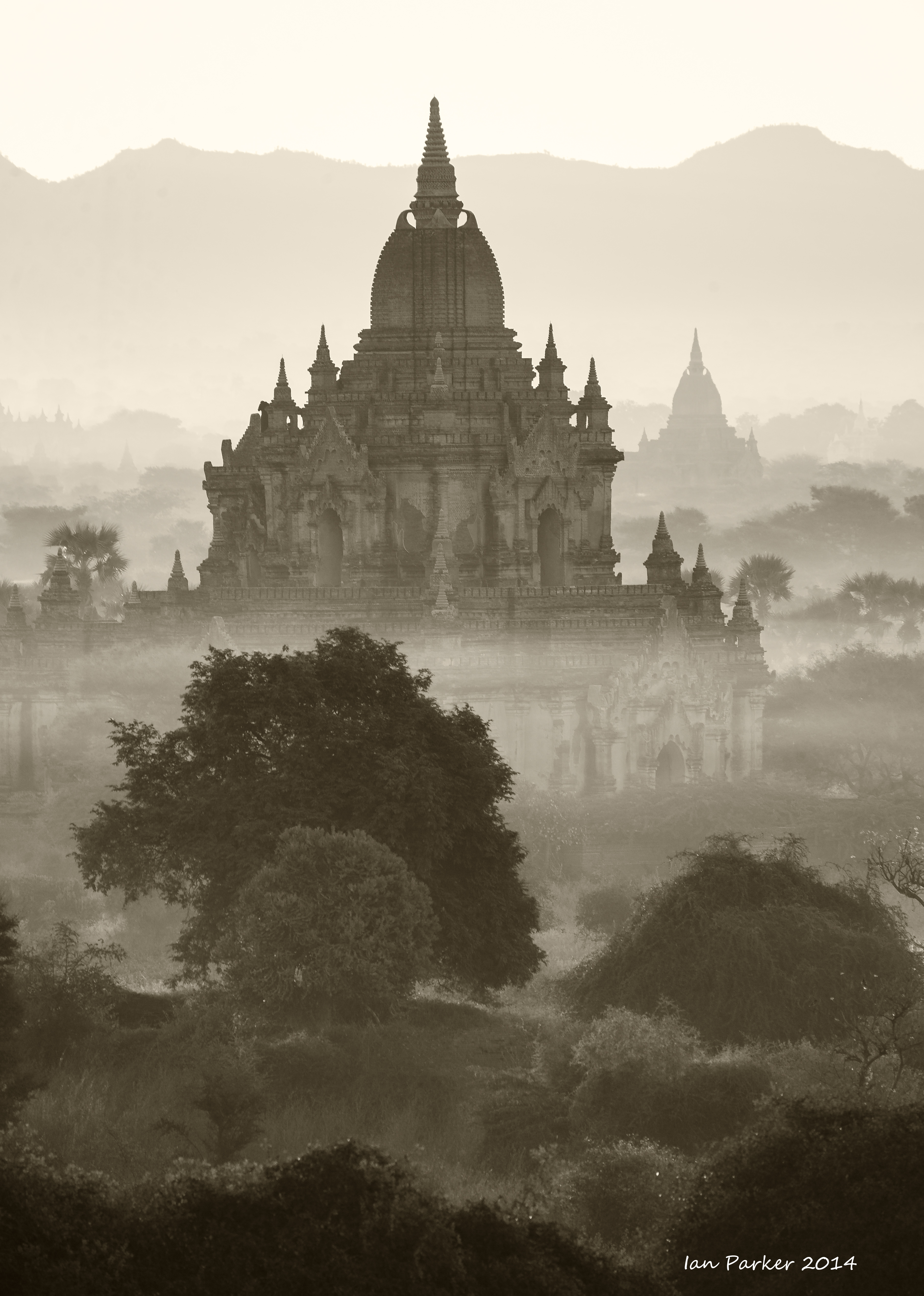
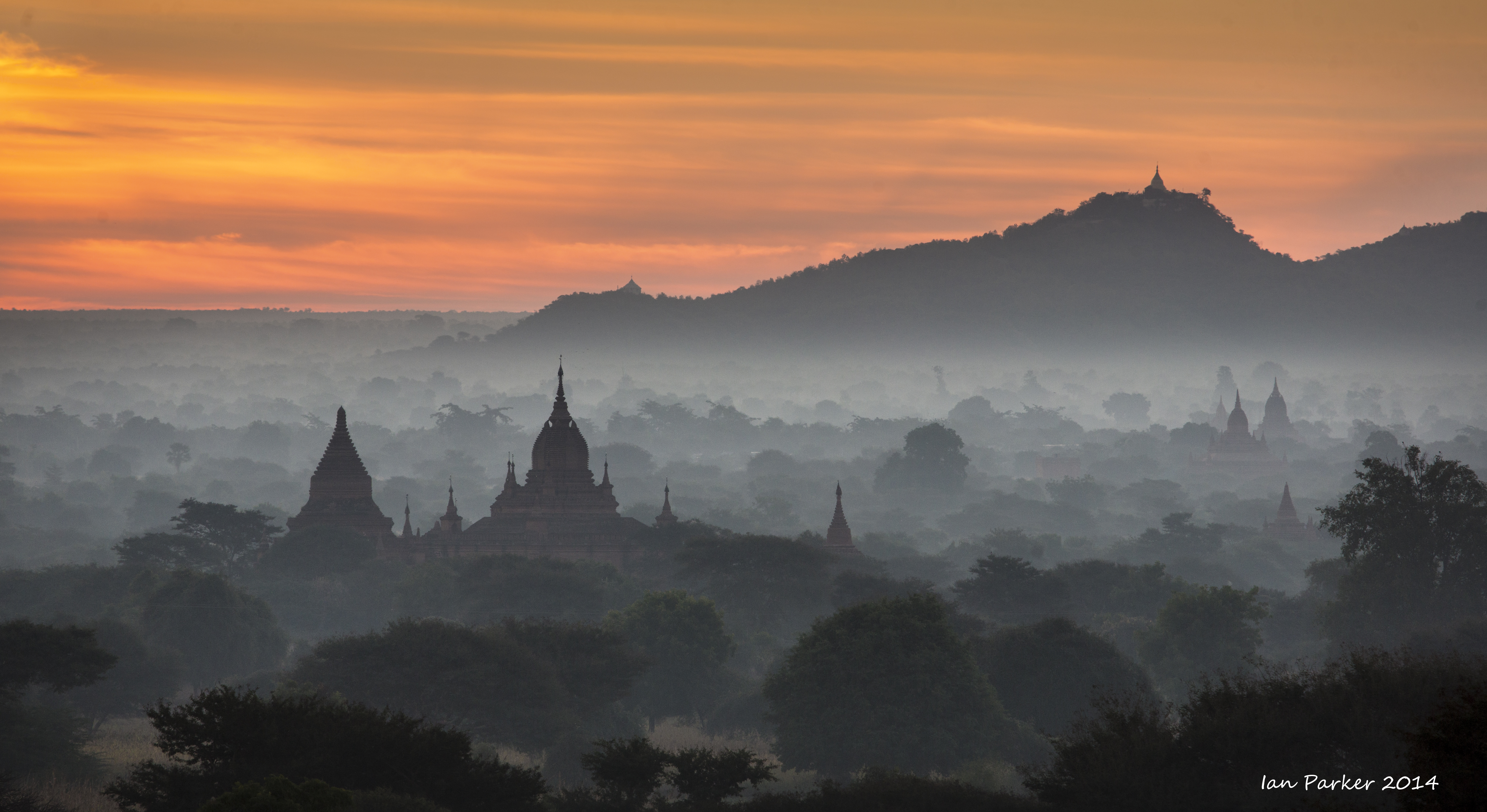
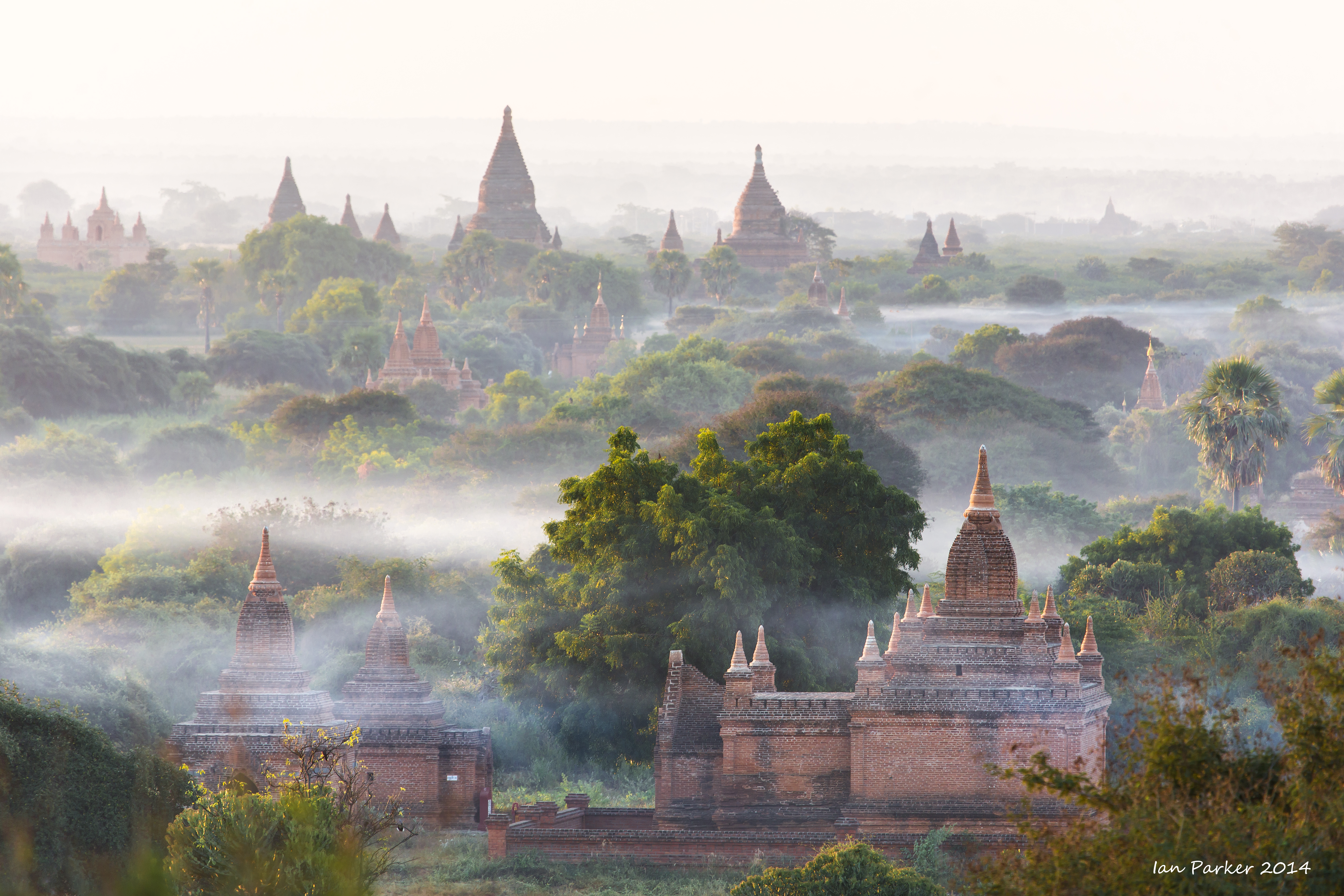
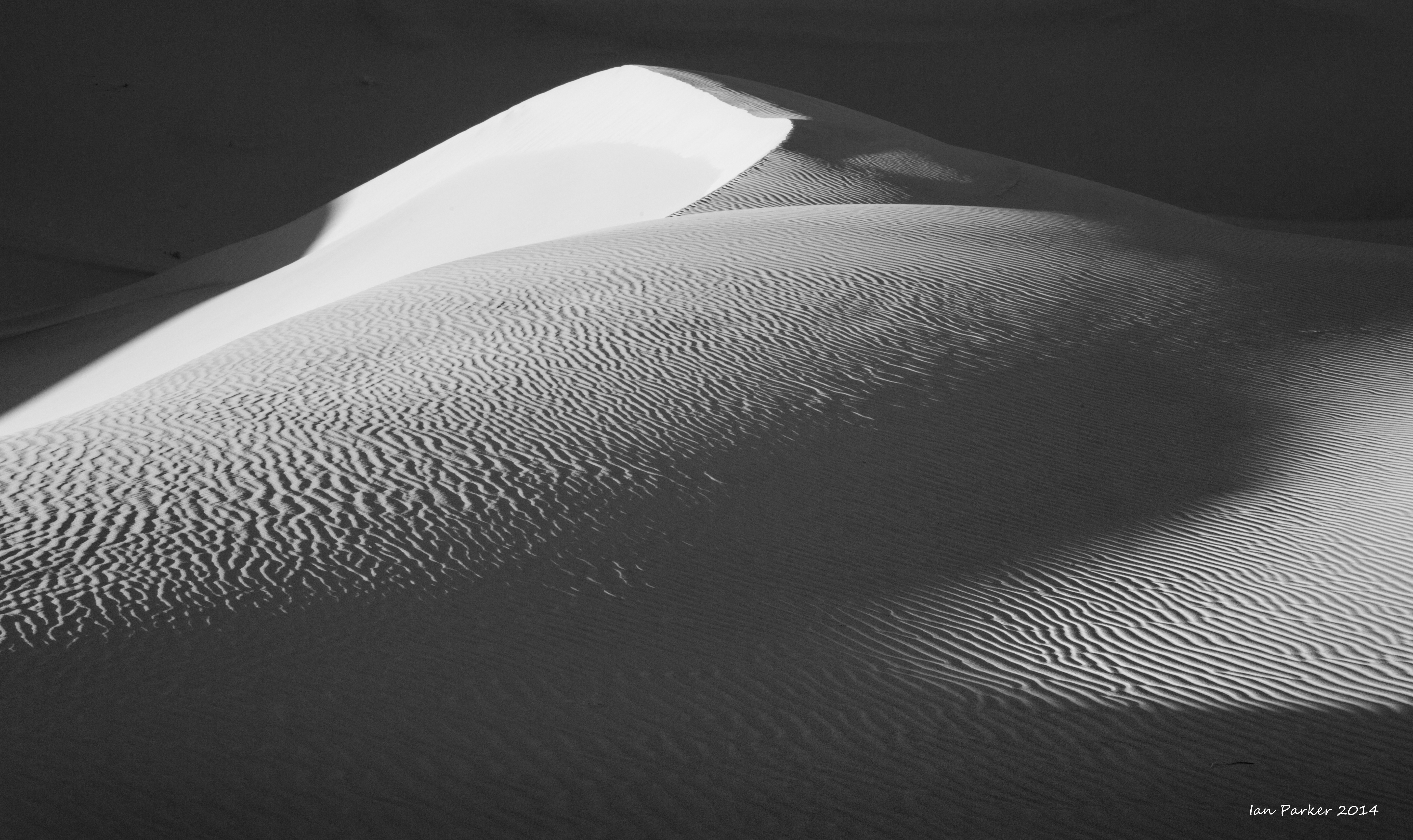
Morning B/W panorama of Bagan
100 Mpixel stitched pano. Click on the image above to download. Will print nearly 10ft wide at full resolution.
These thumbnails, clipped from the panorama, illustrate the resolution.
|
|
keep scrolling down for many more photos of Burma...
November-December 2014: A "photo-safari" to Burma organized by Jo Van Os, with layovers of a few days before and after in Singapore and Hong Kong.
Click HERE to download field notes of our Burma trip by Don Lyon
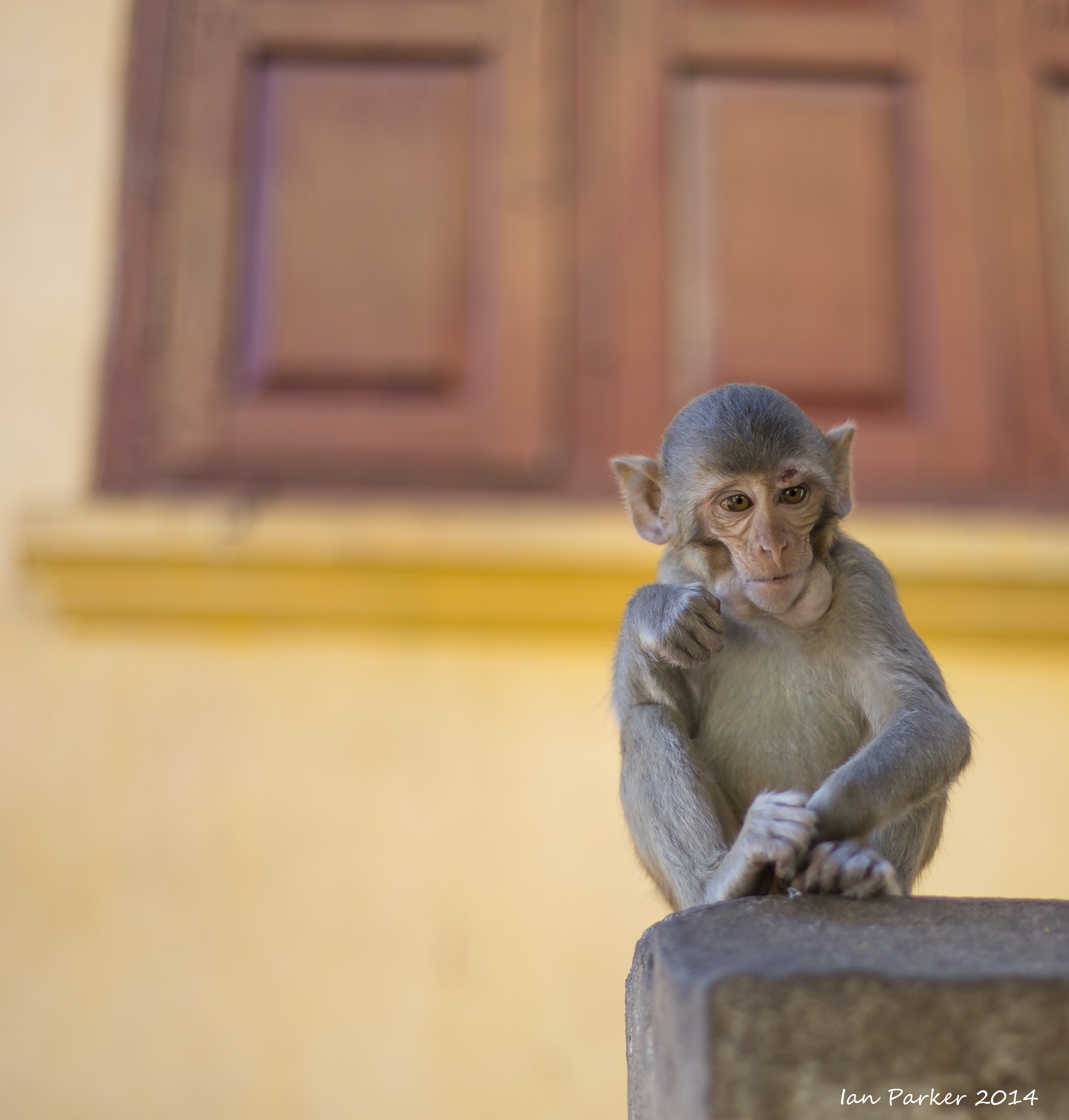
BURMA
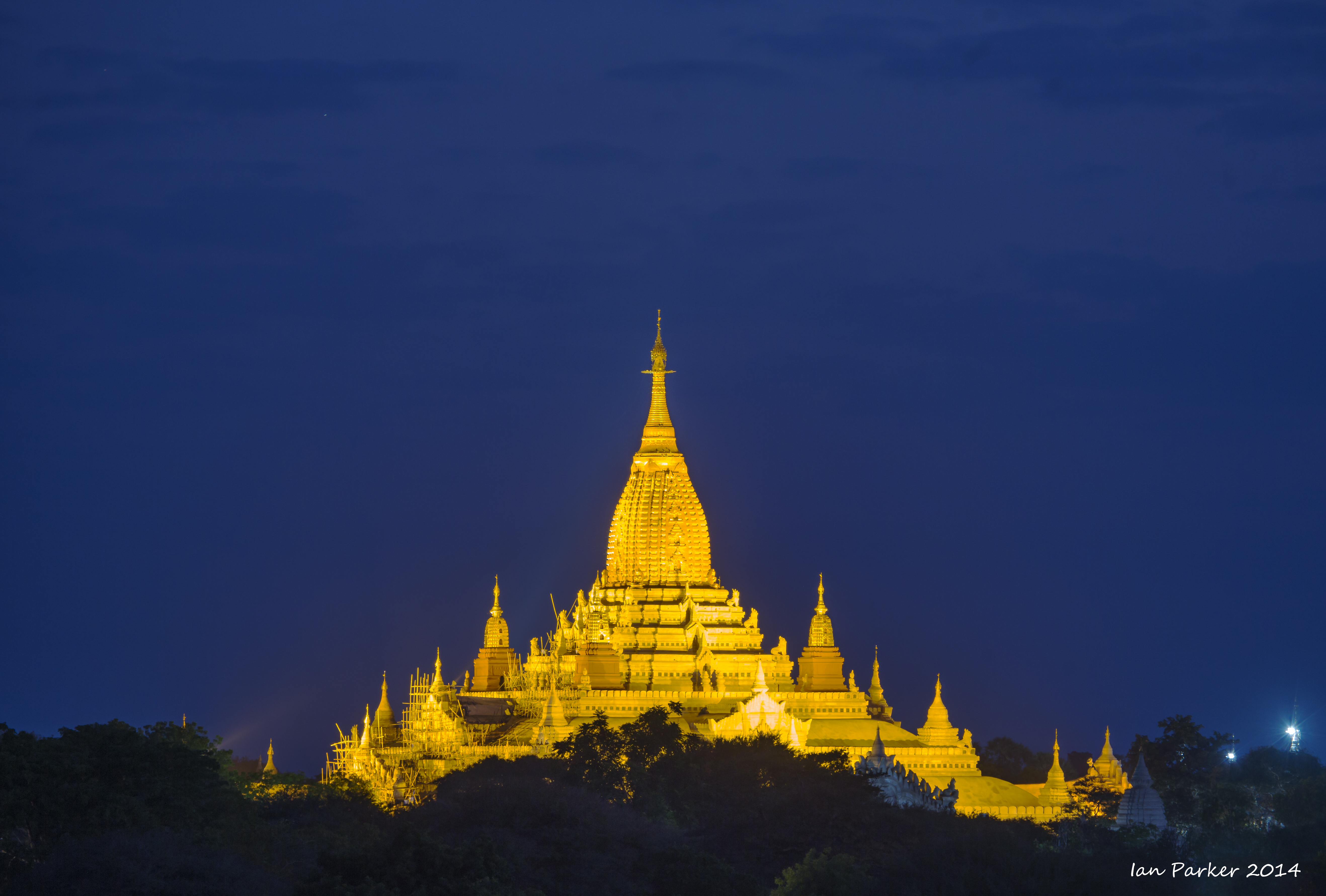
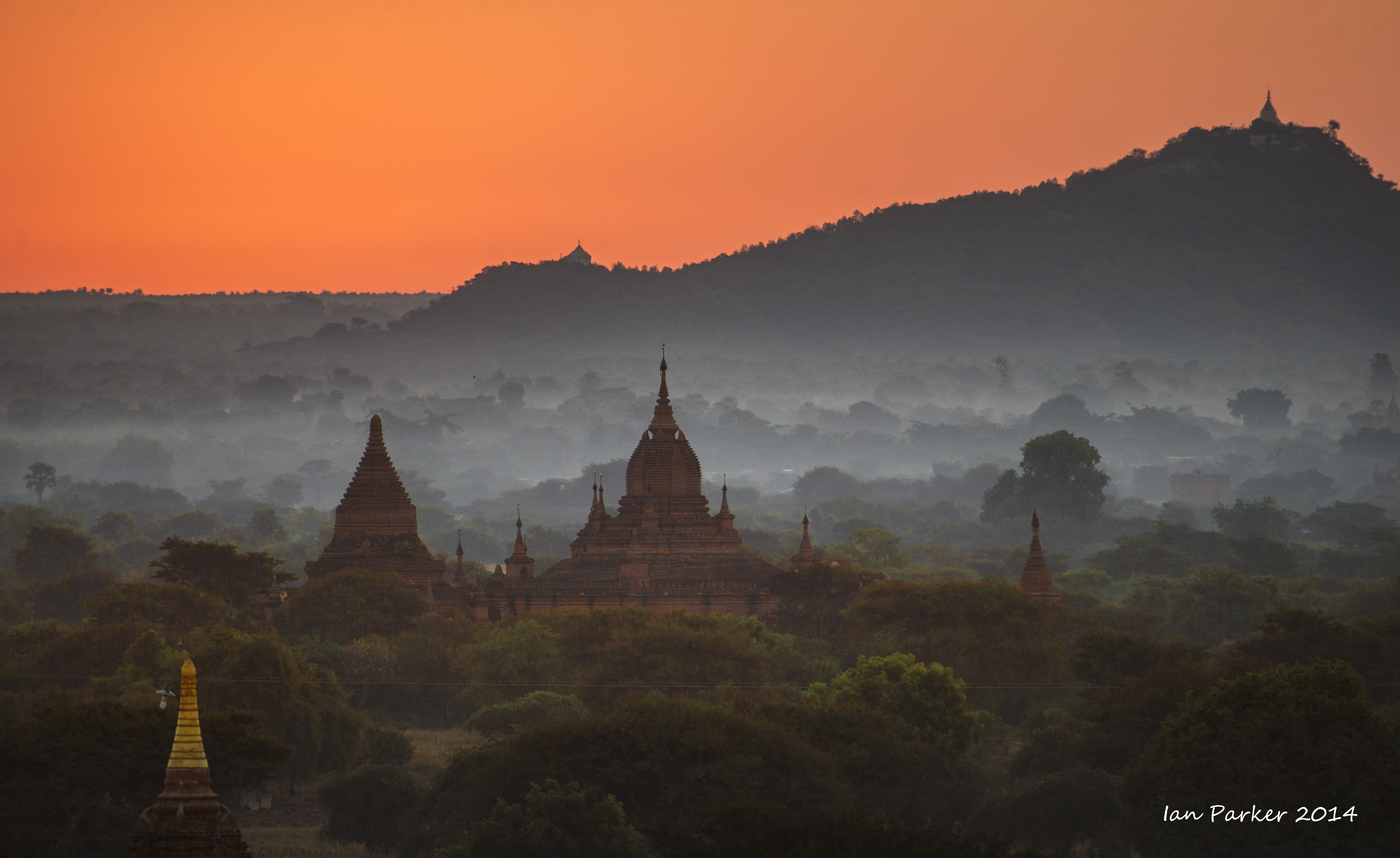
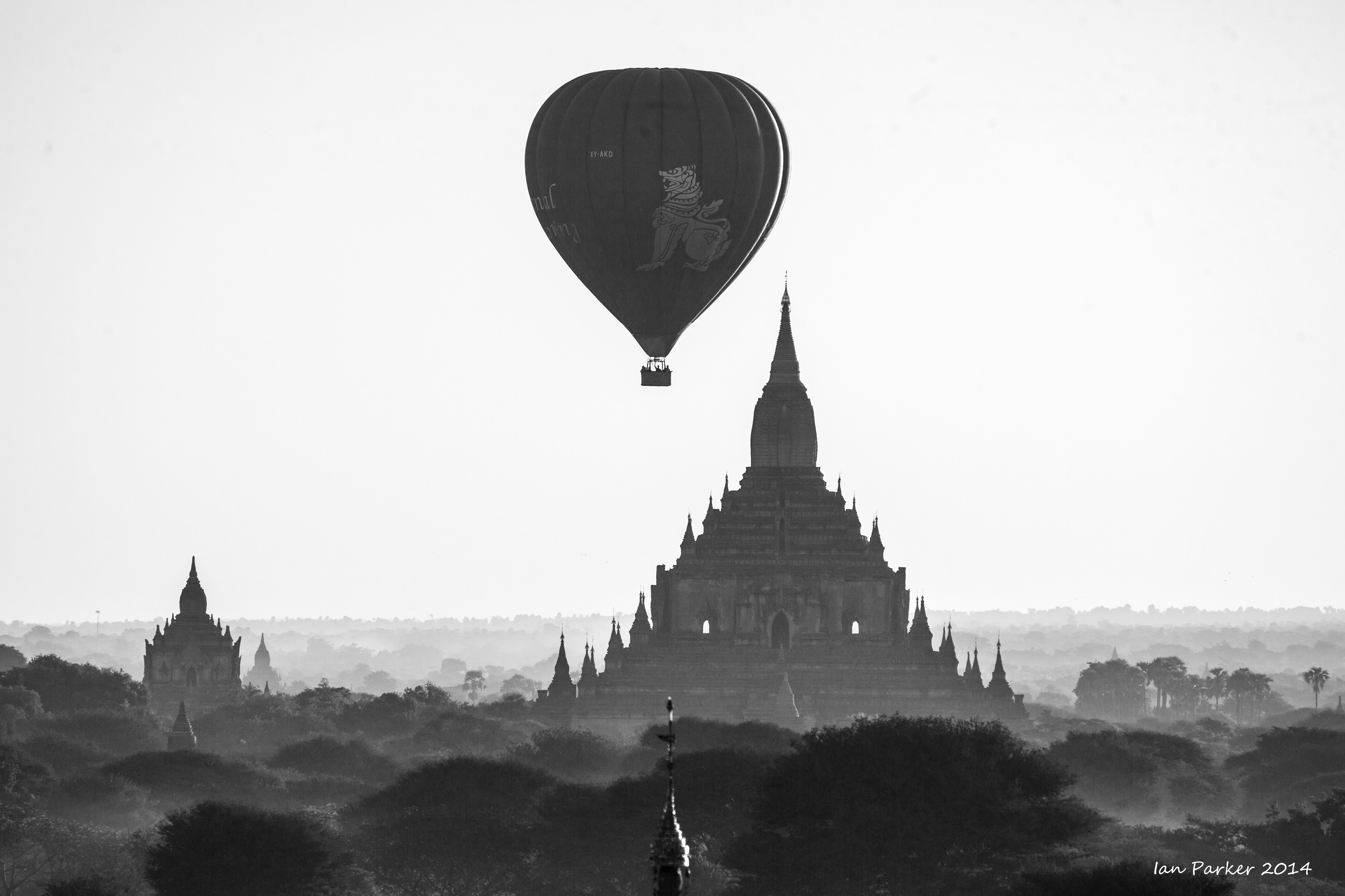
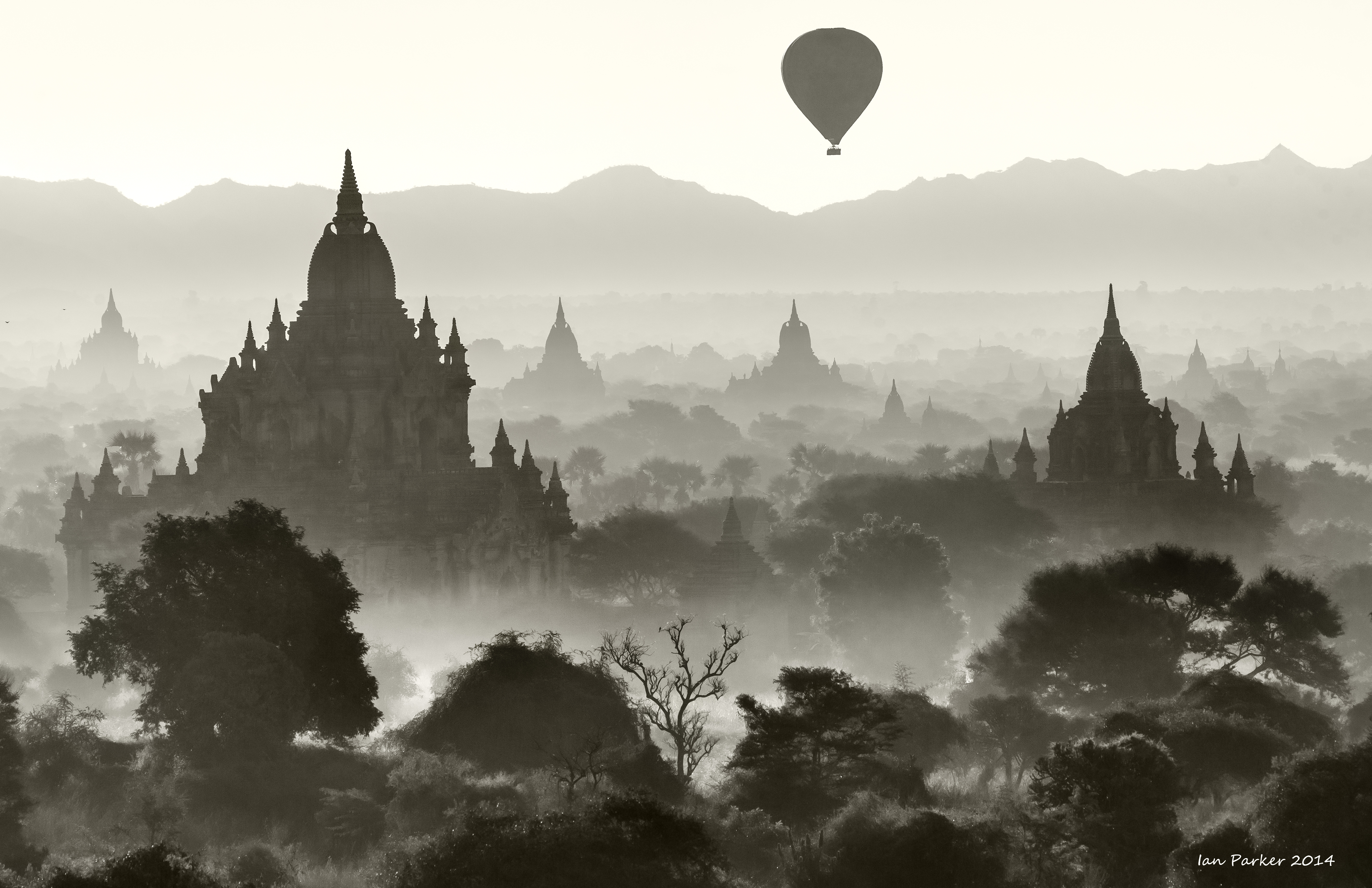
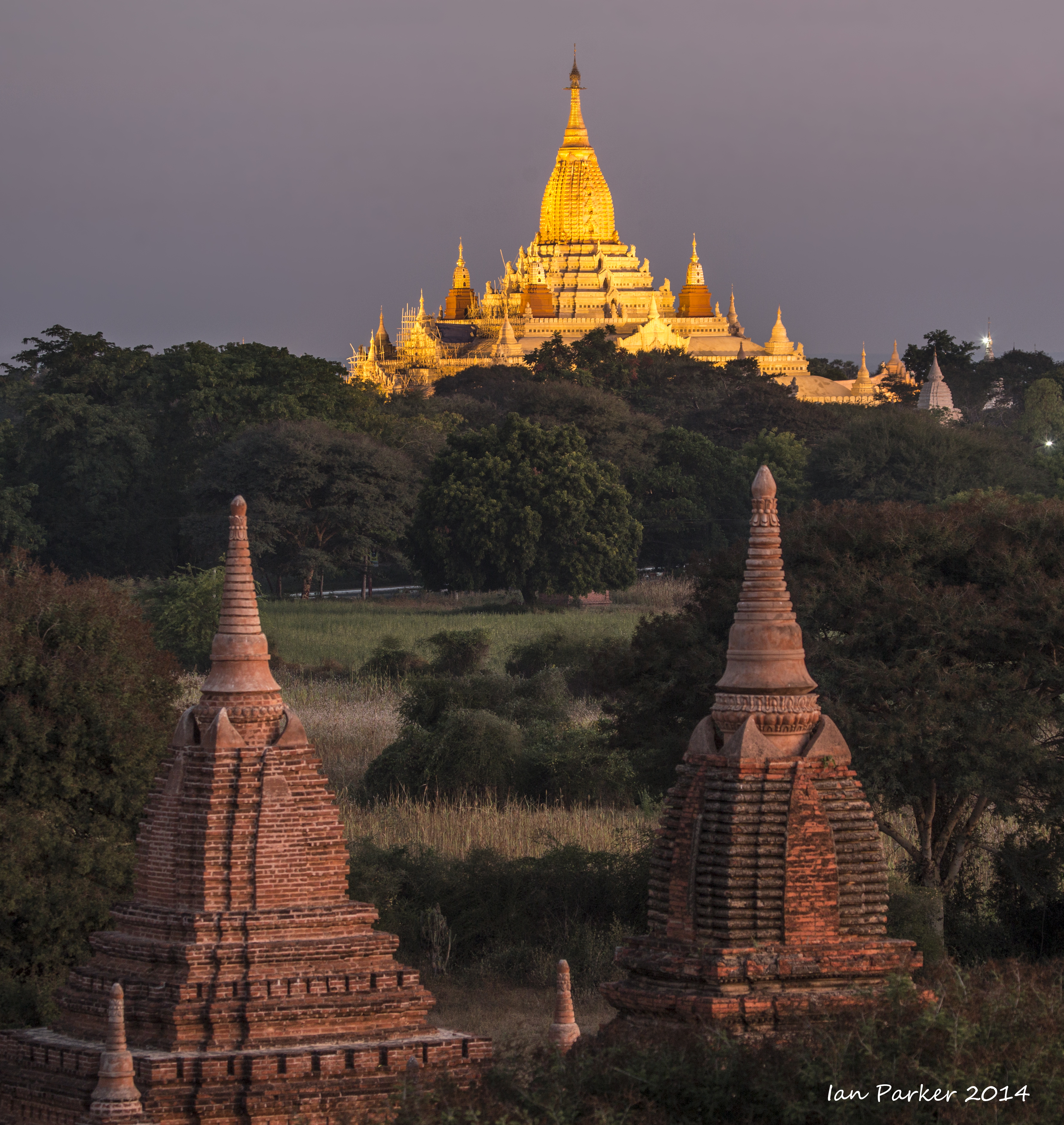
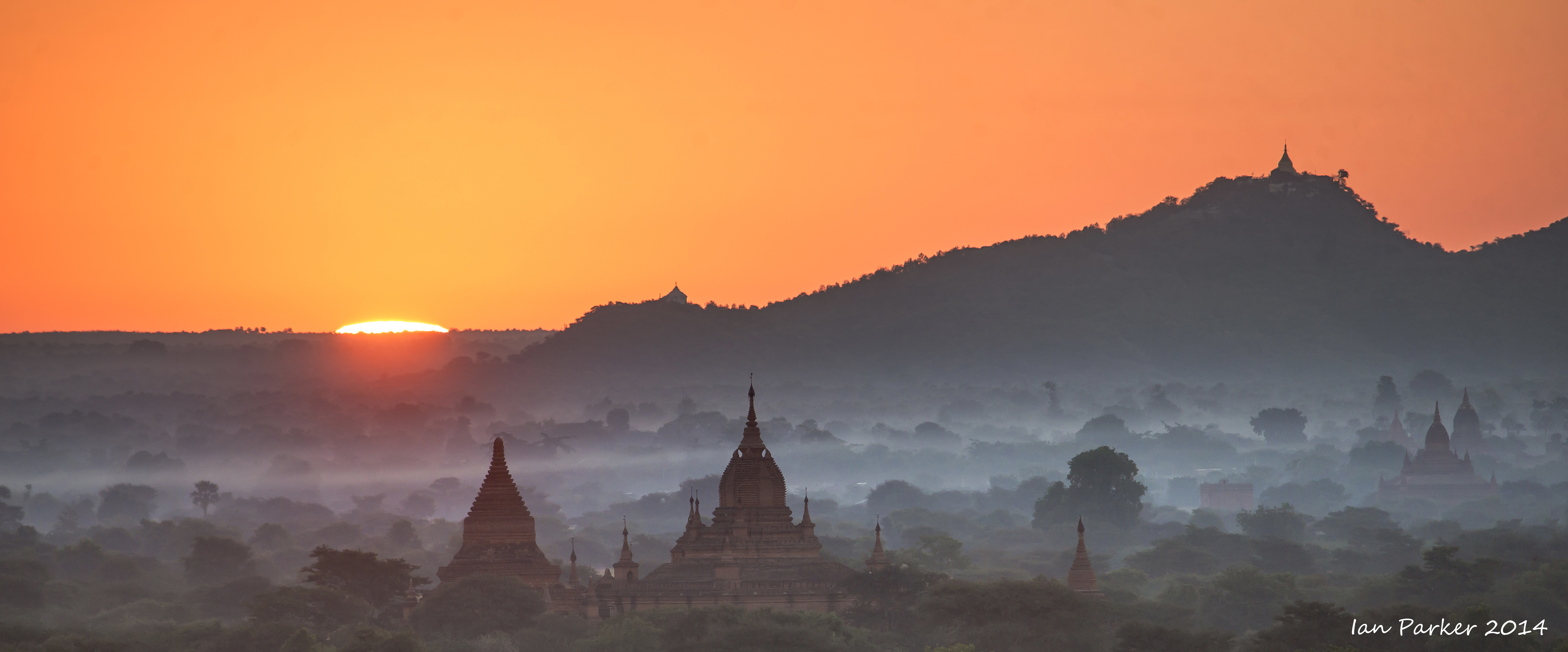
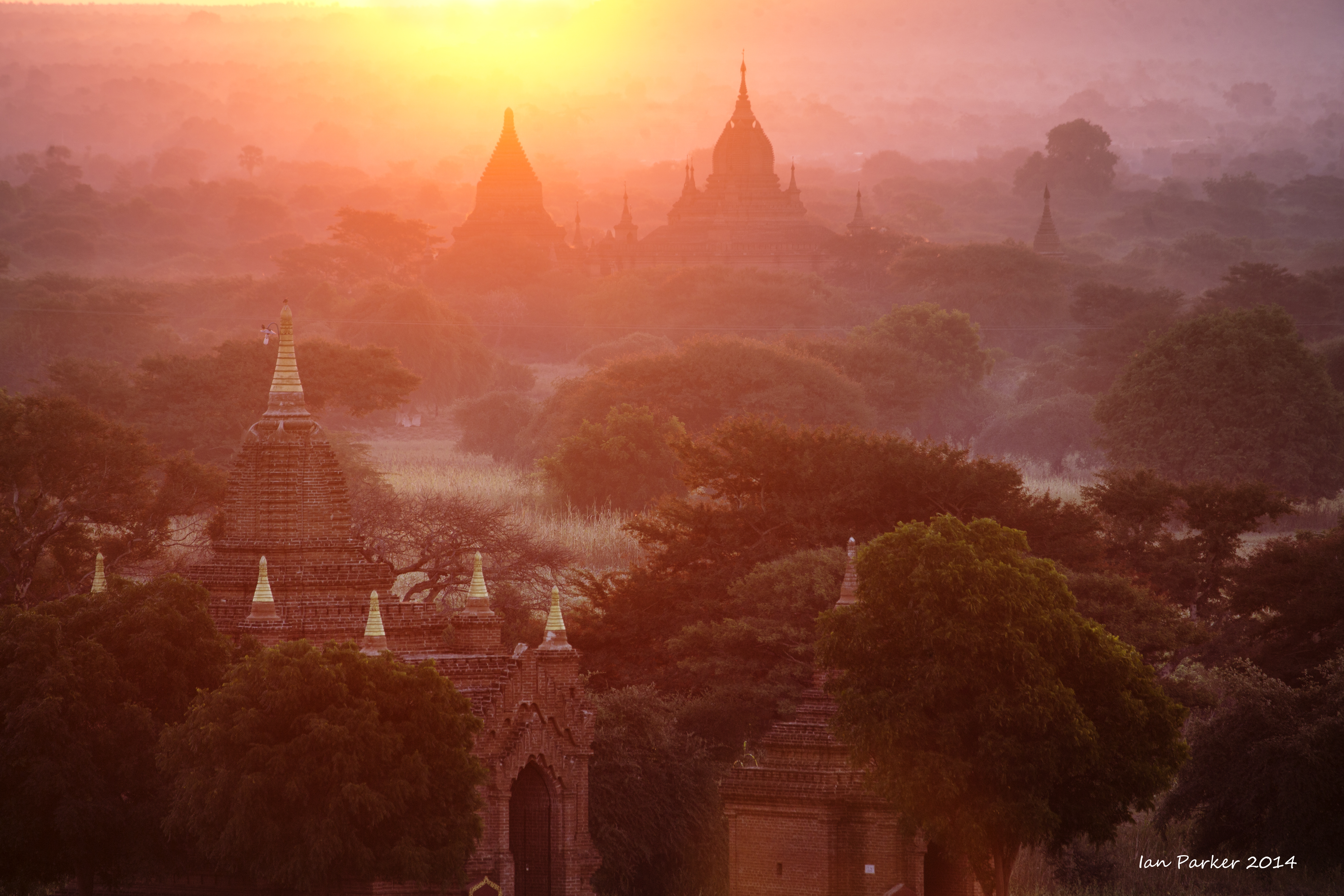
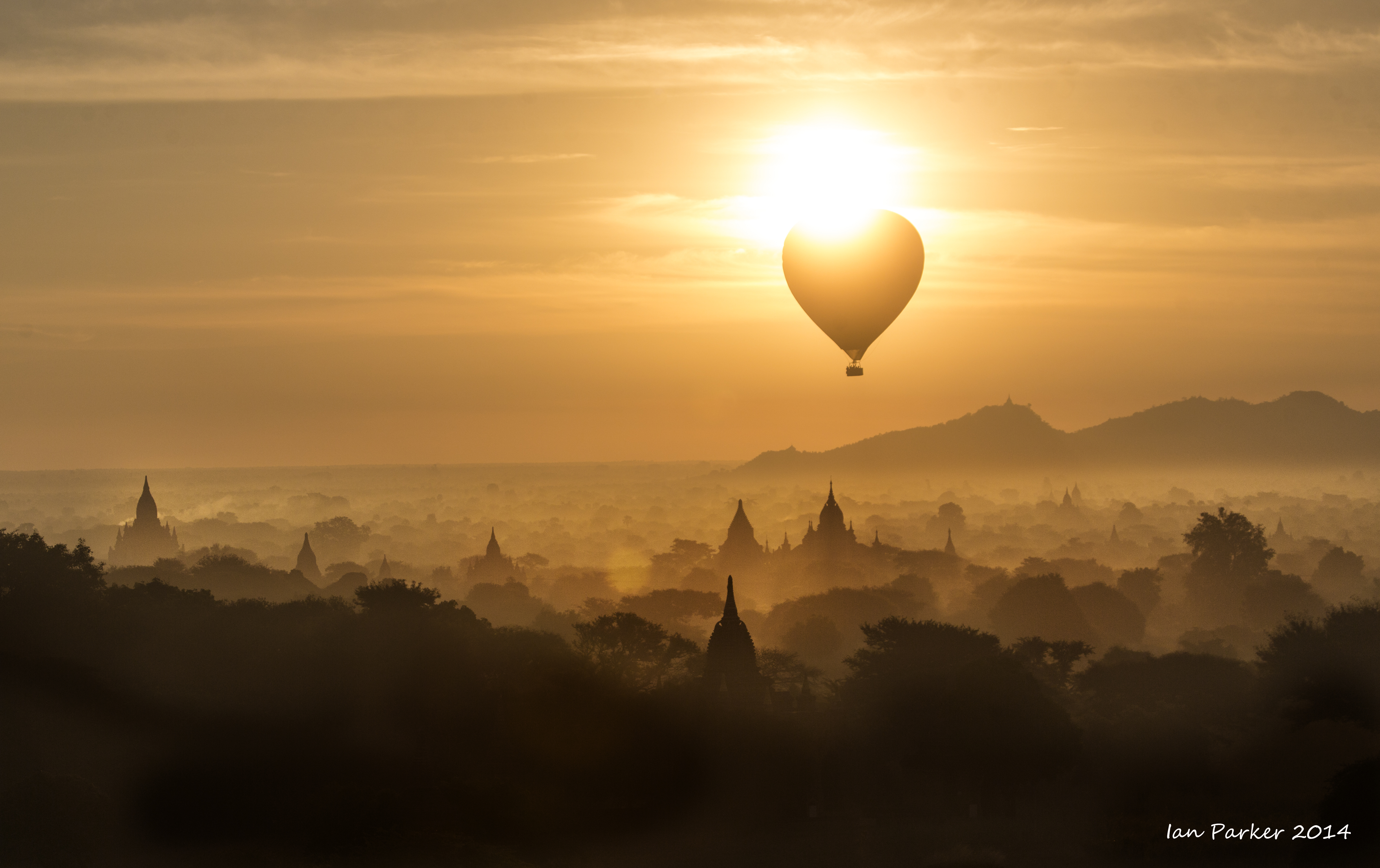
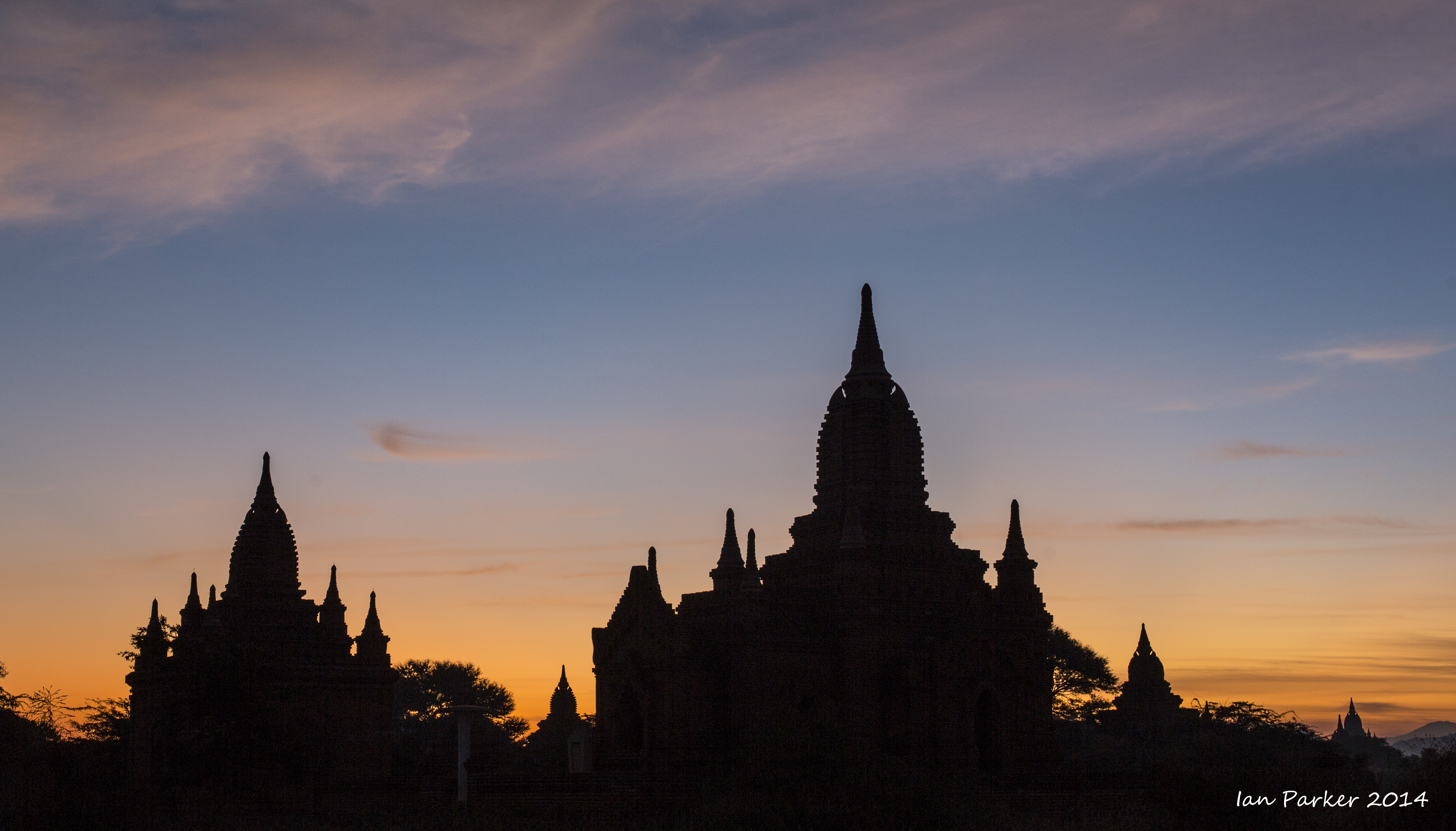
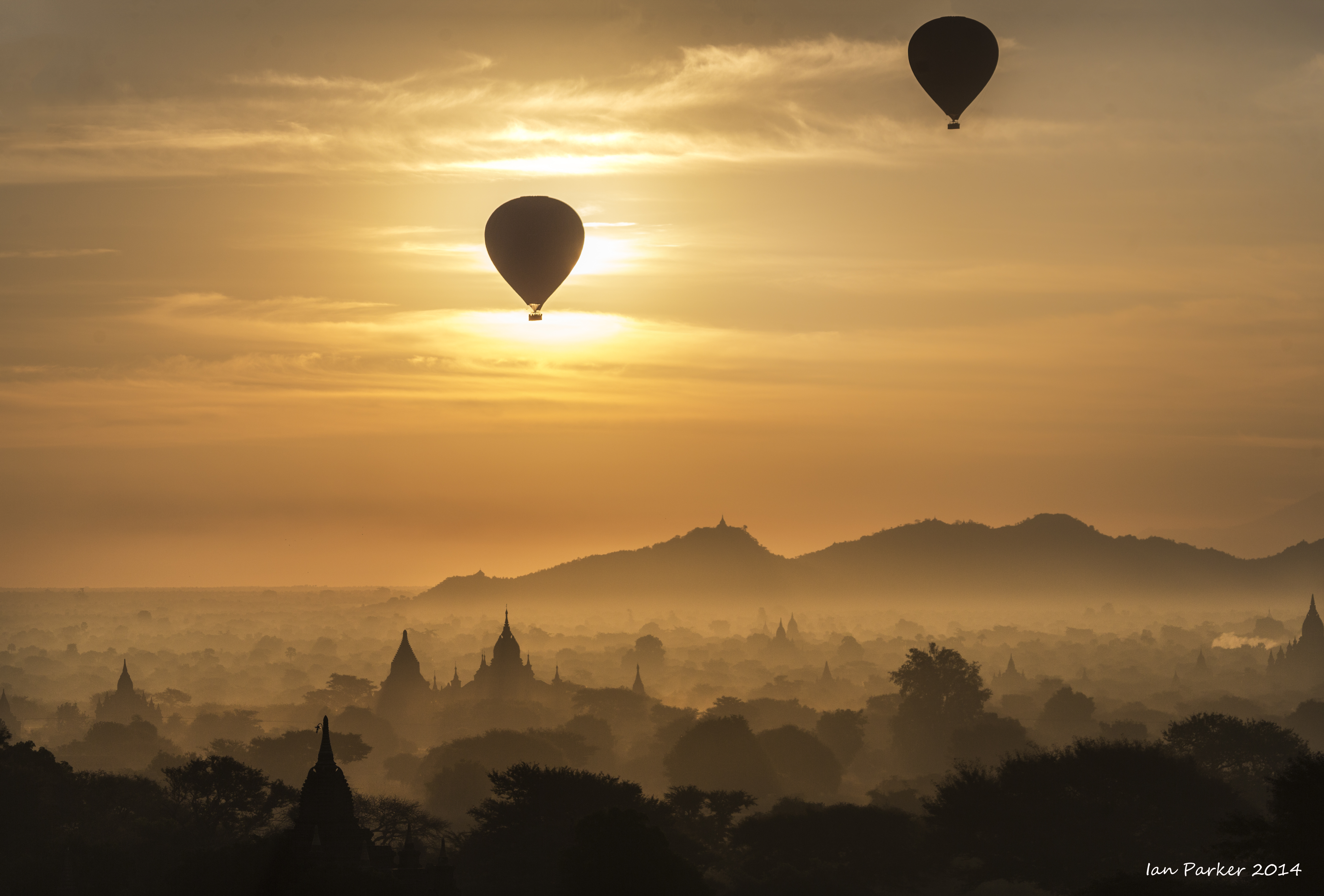
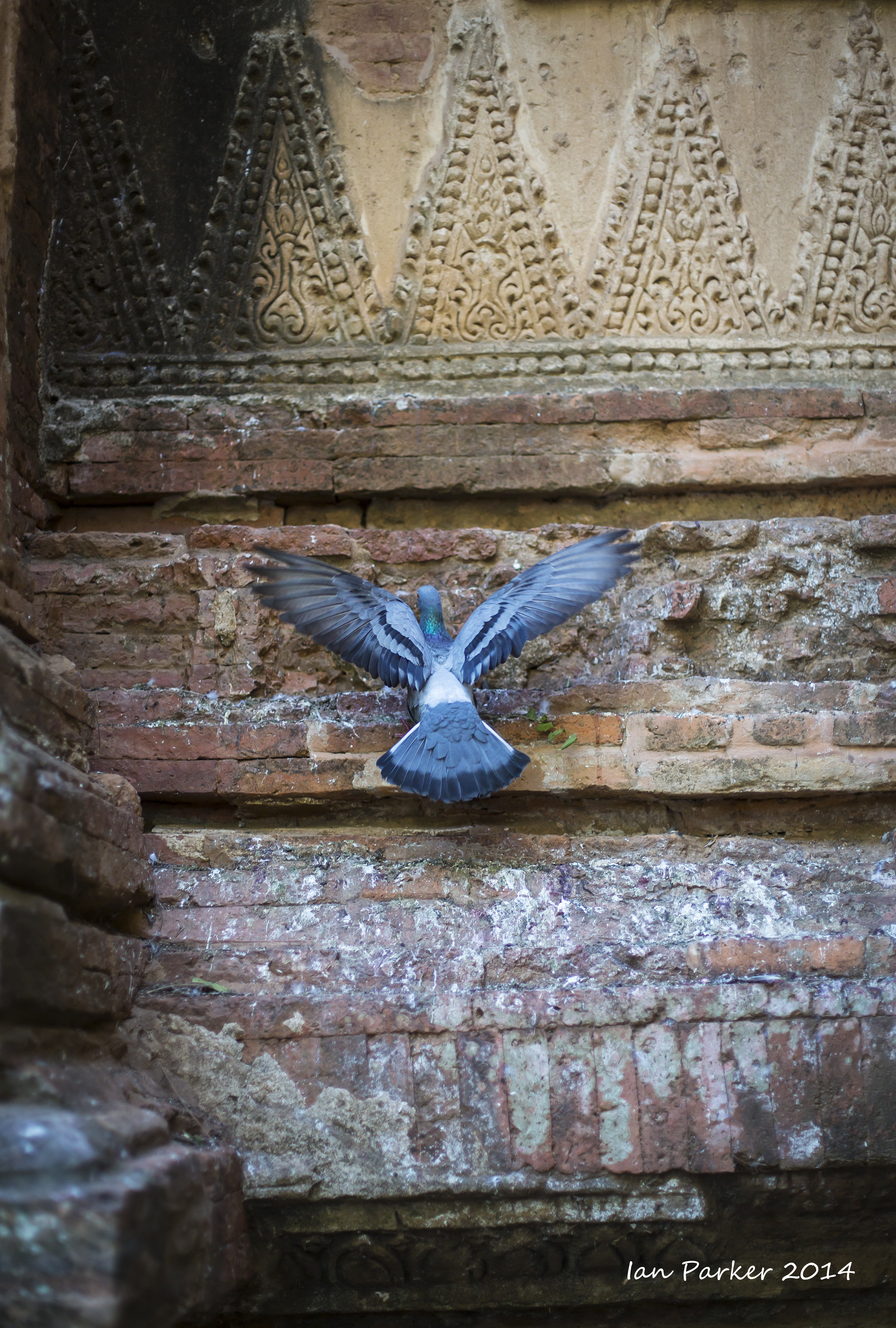
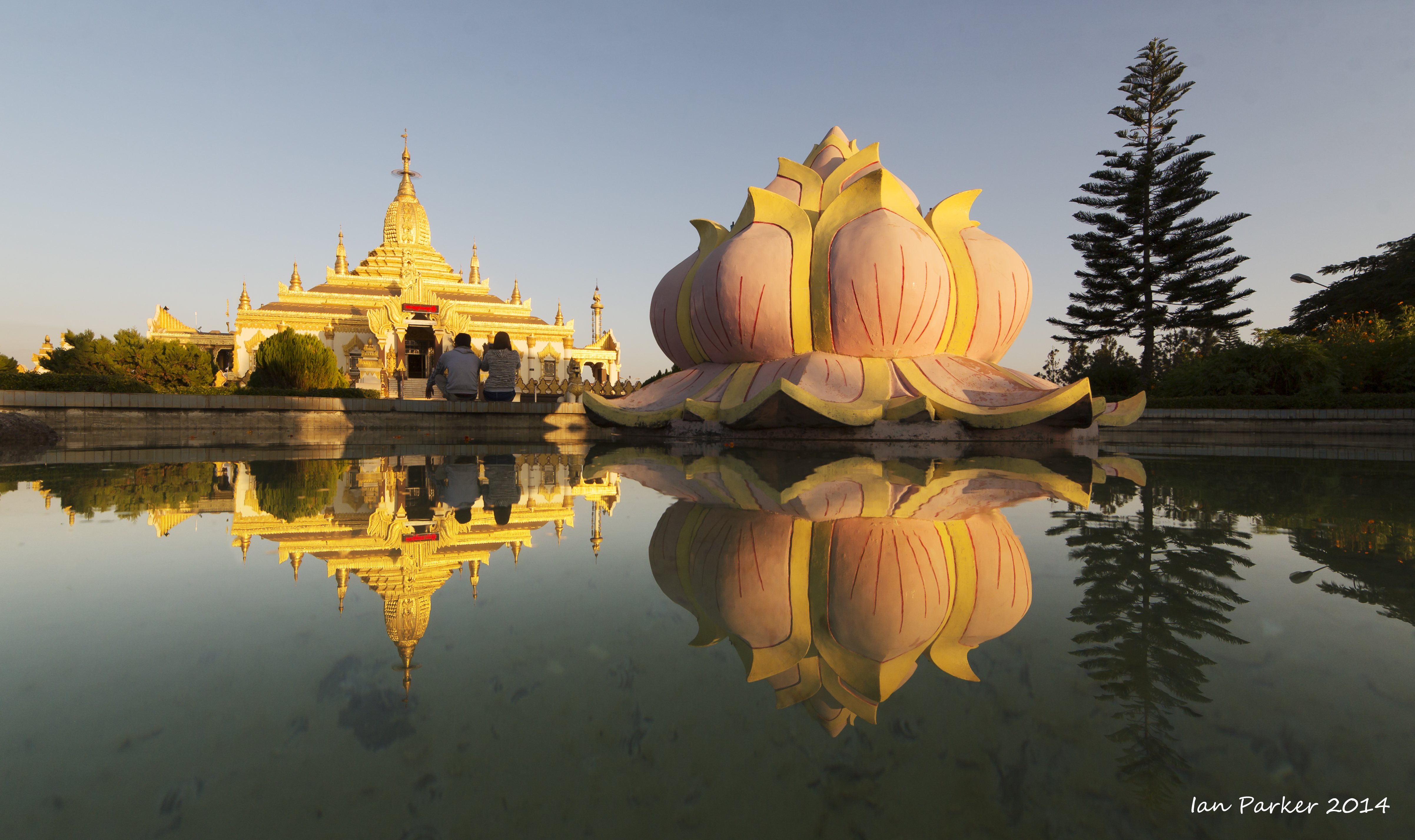
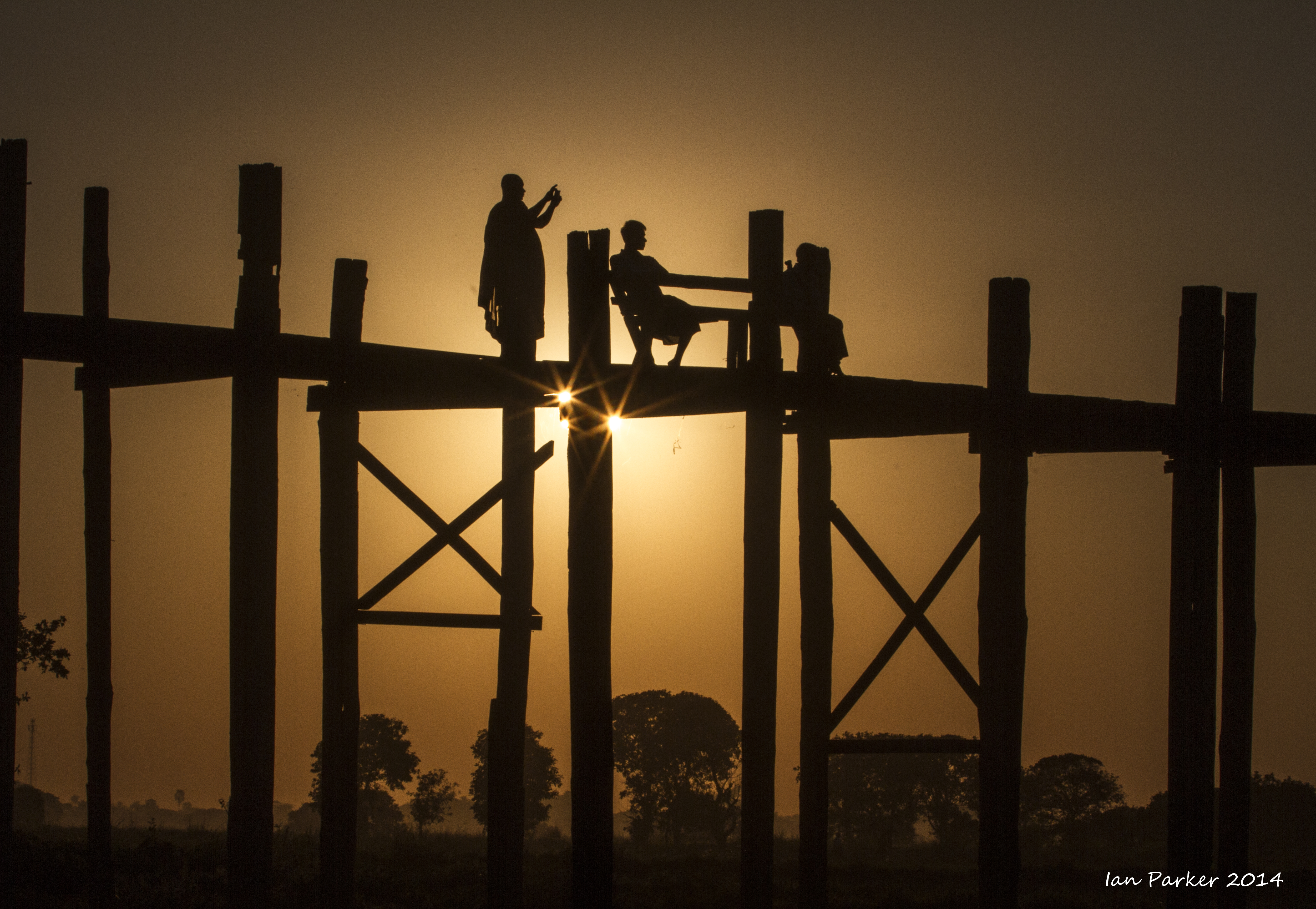
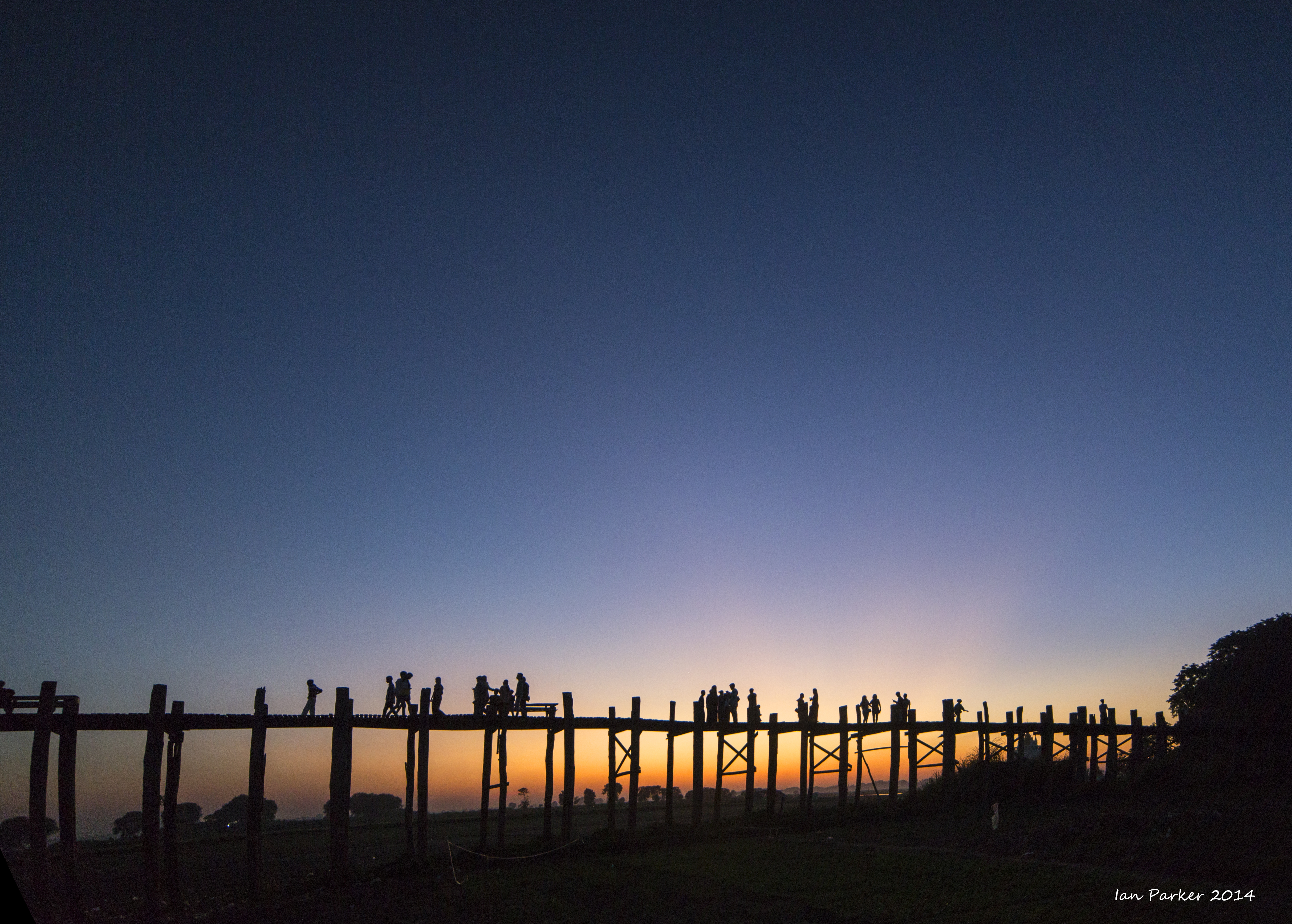
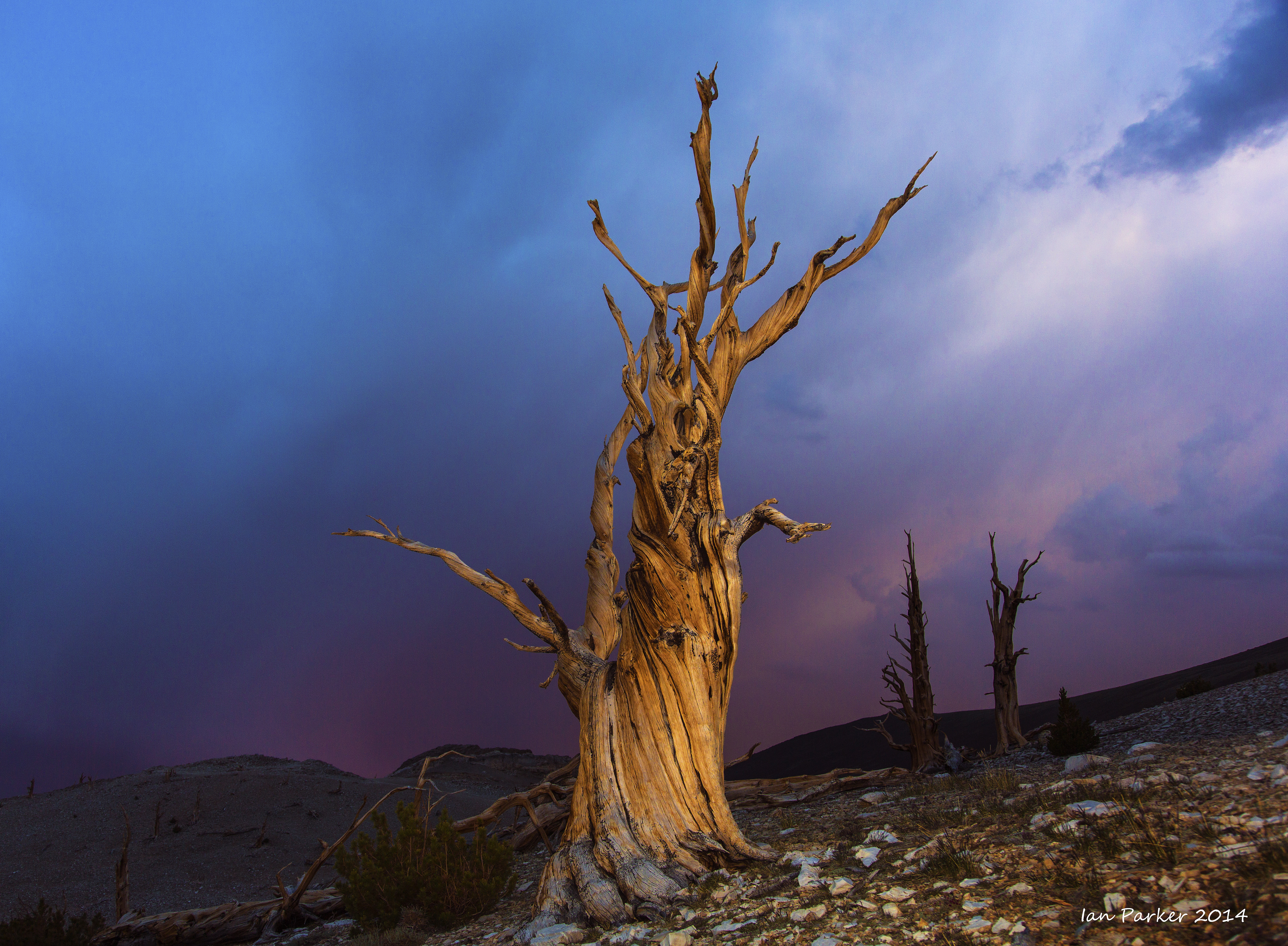
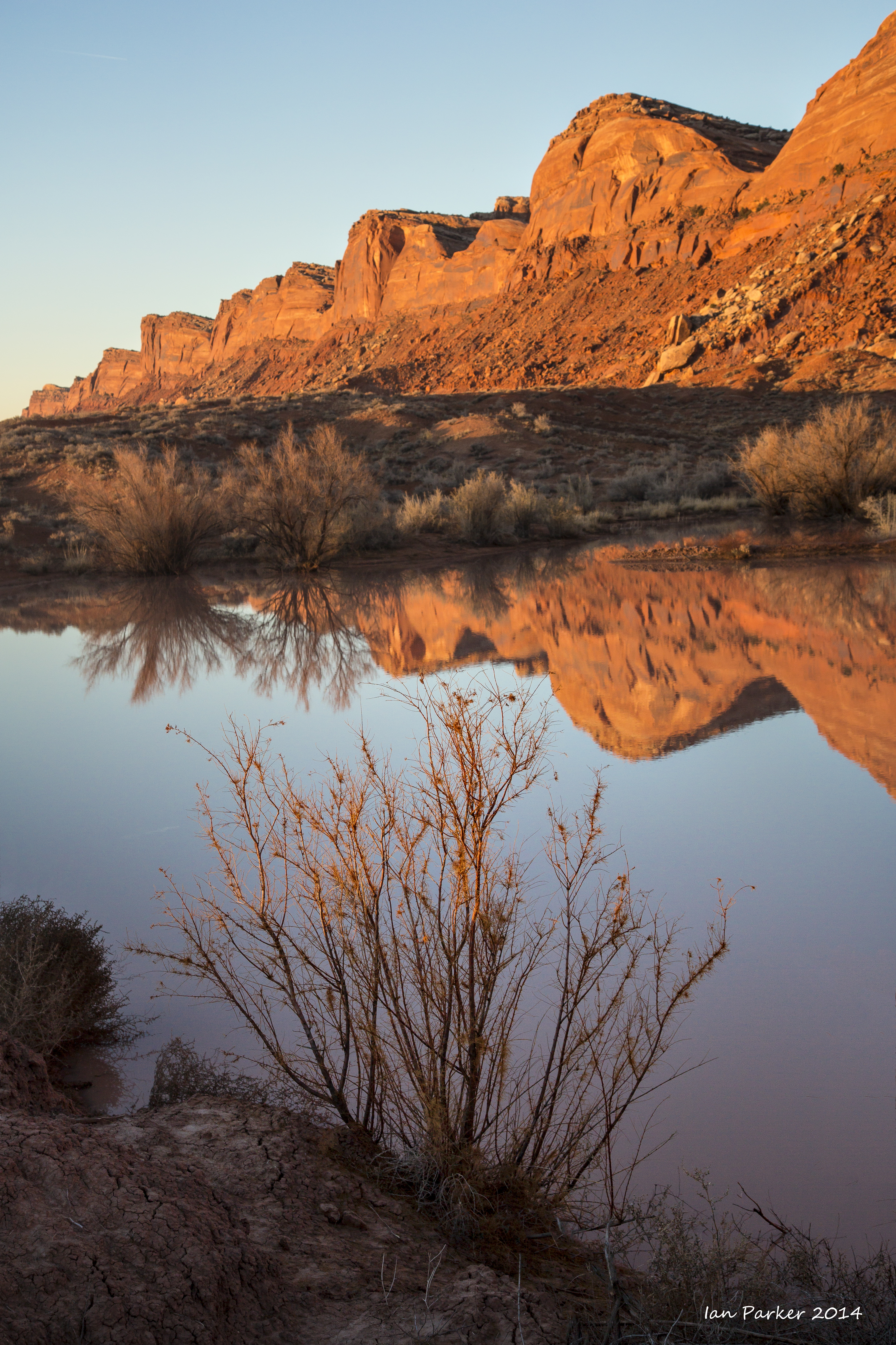
Dec 13-15 : Three sunrises and one sunset over the archaeological site at Bagan
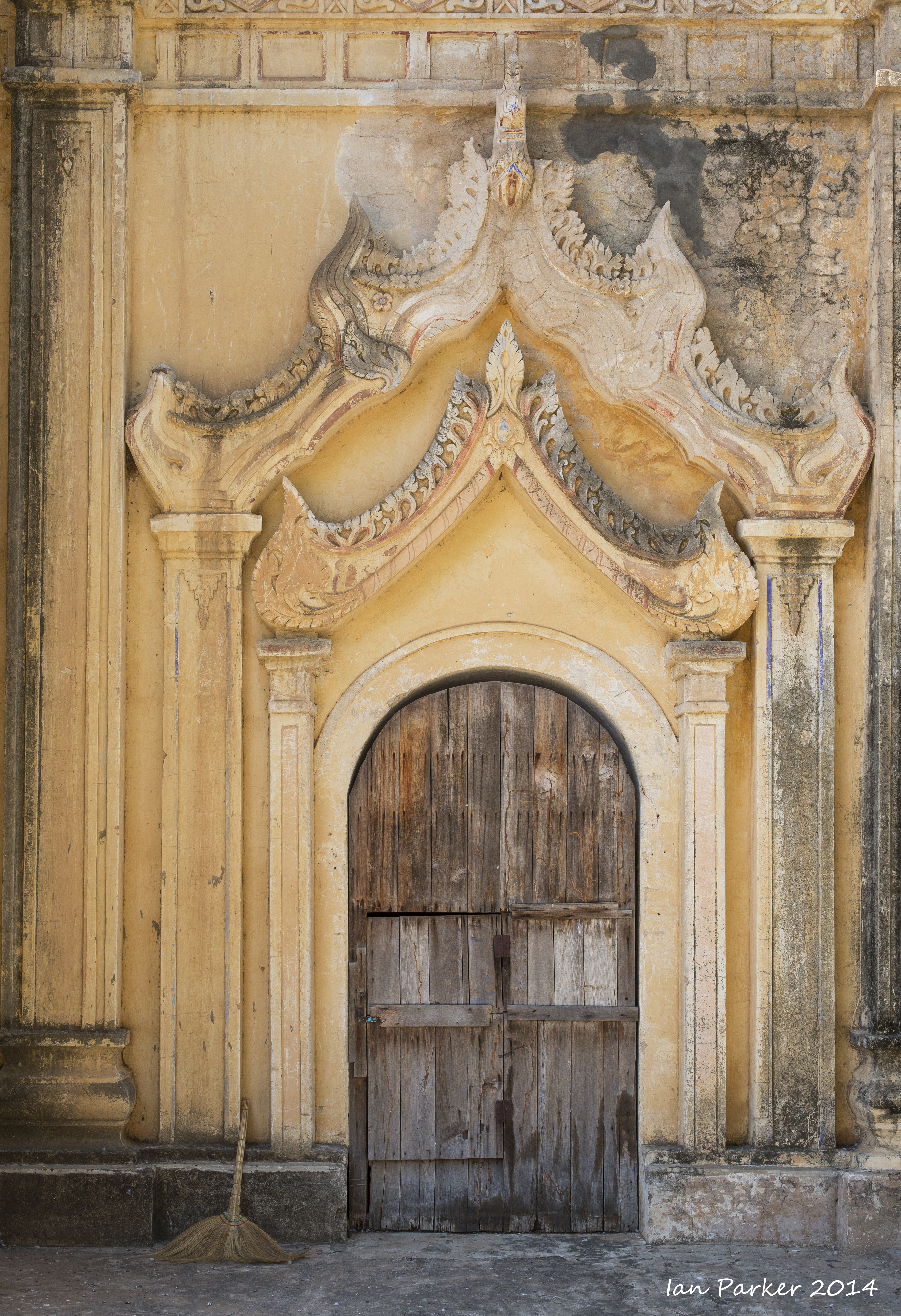
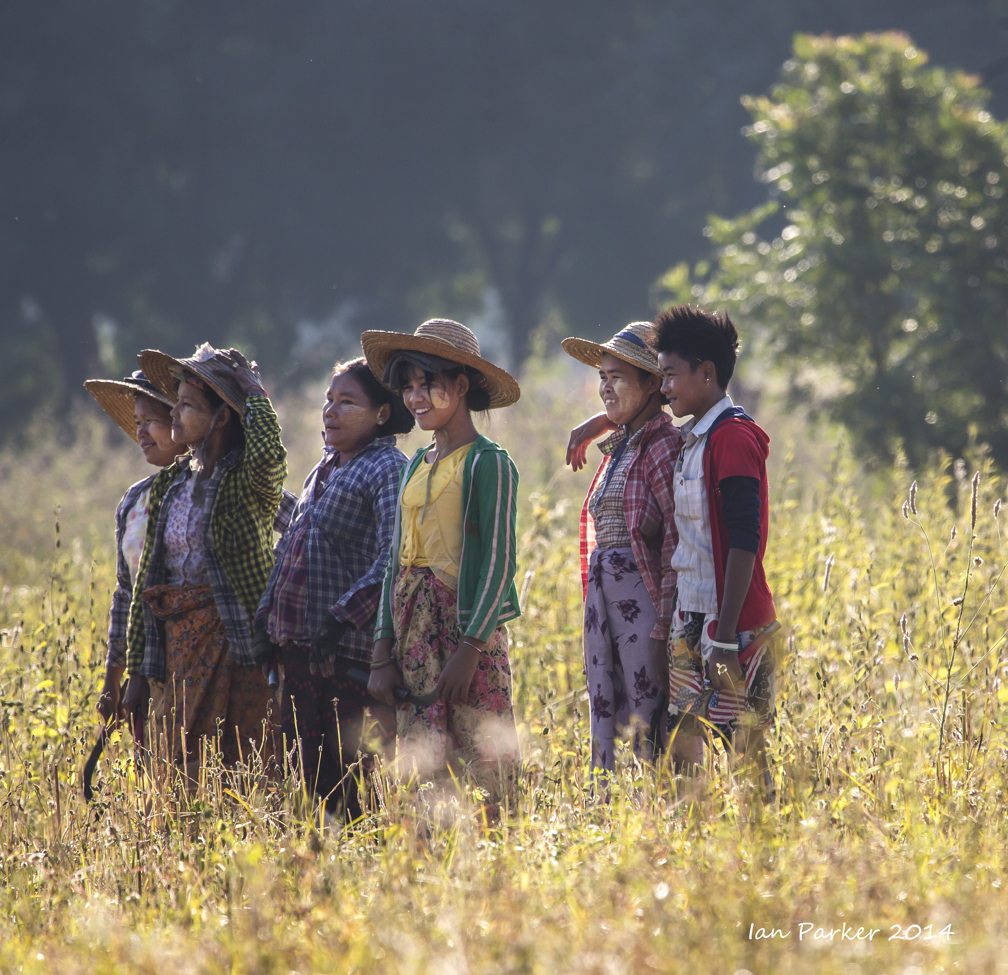
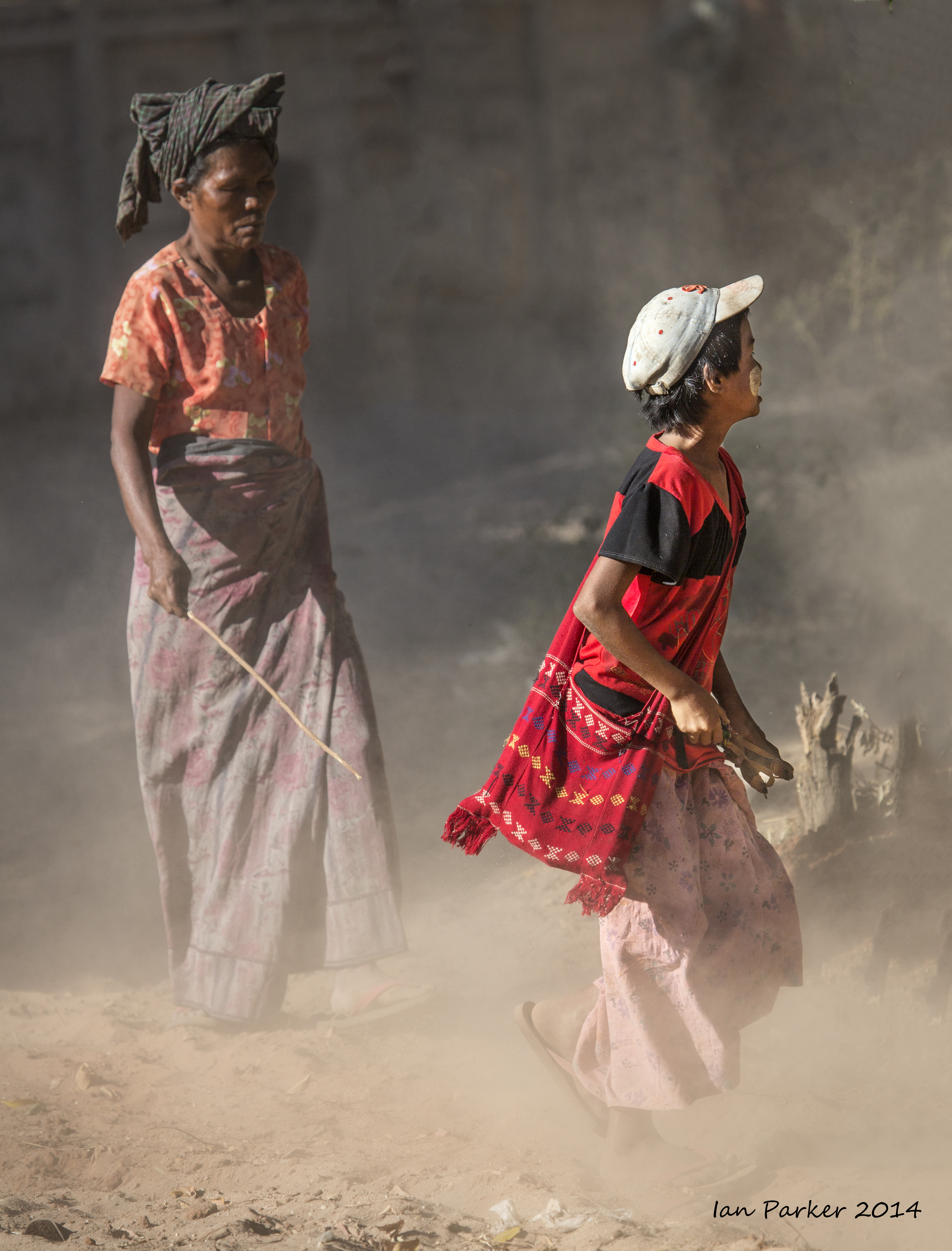
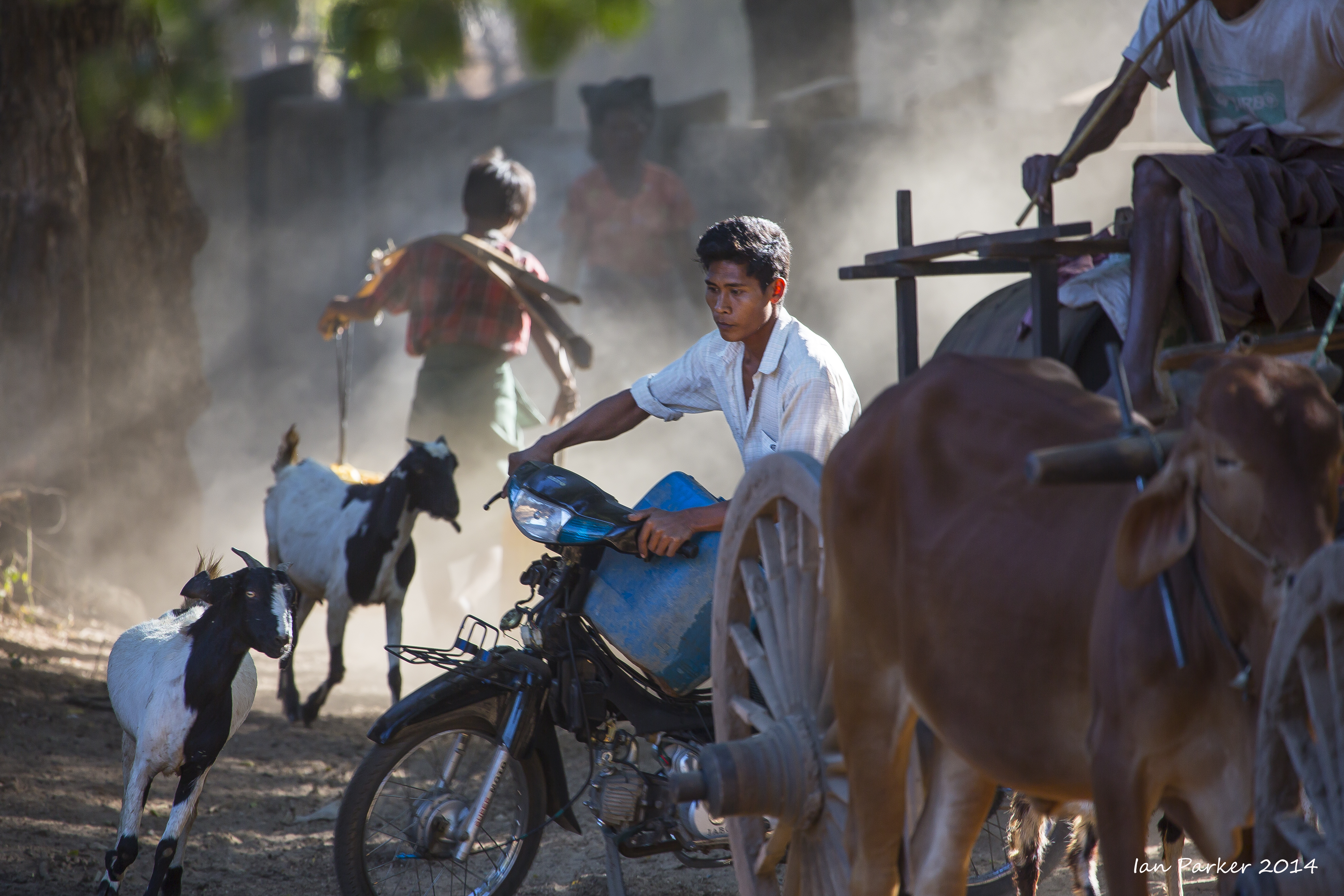
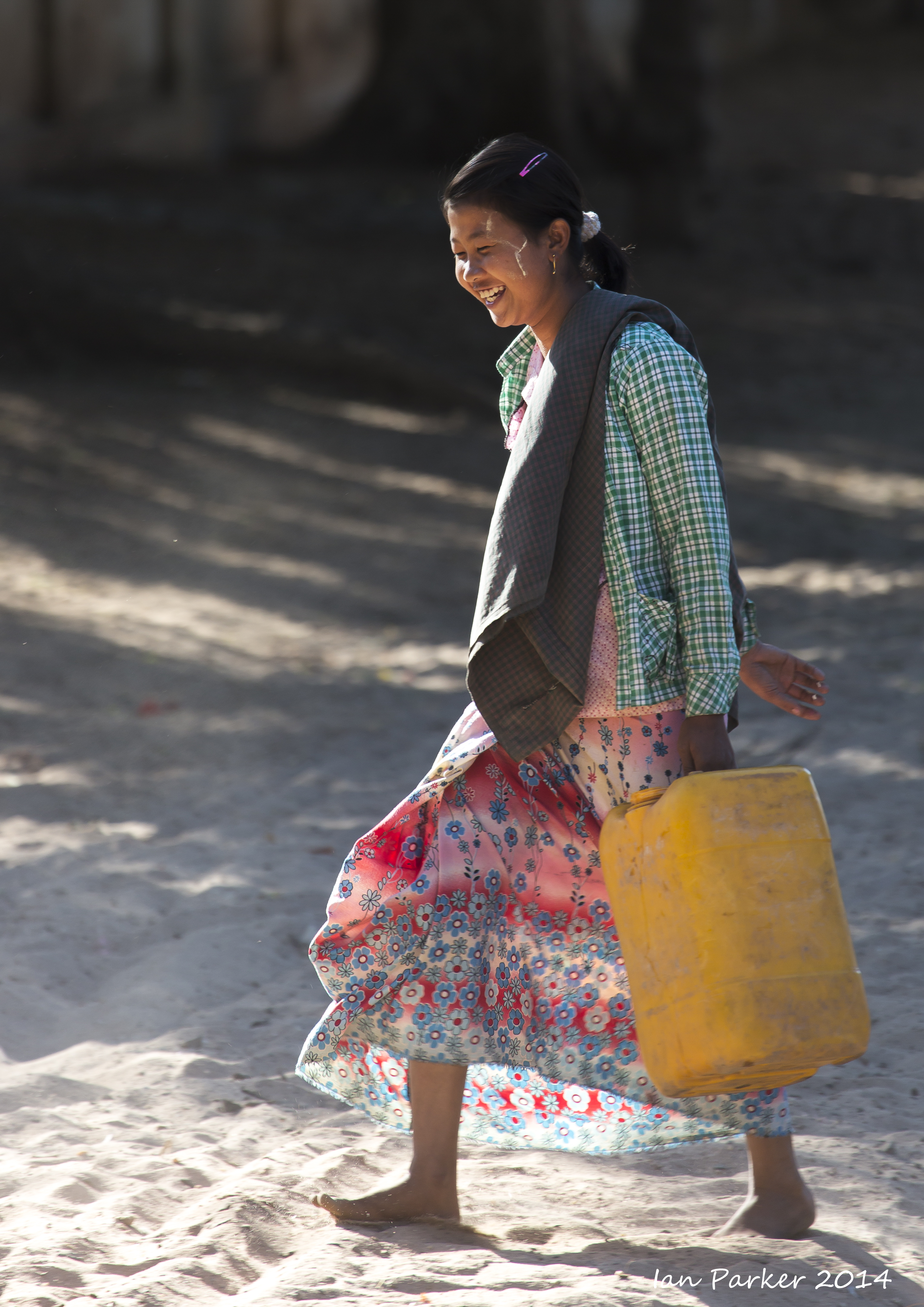
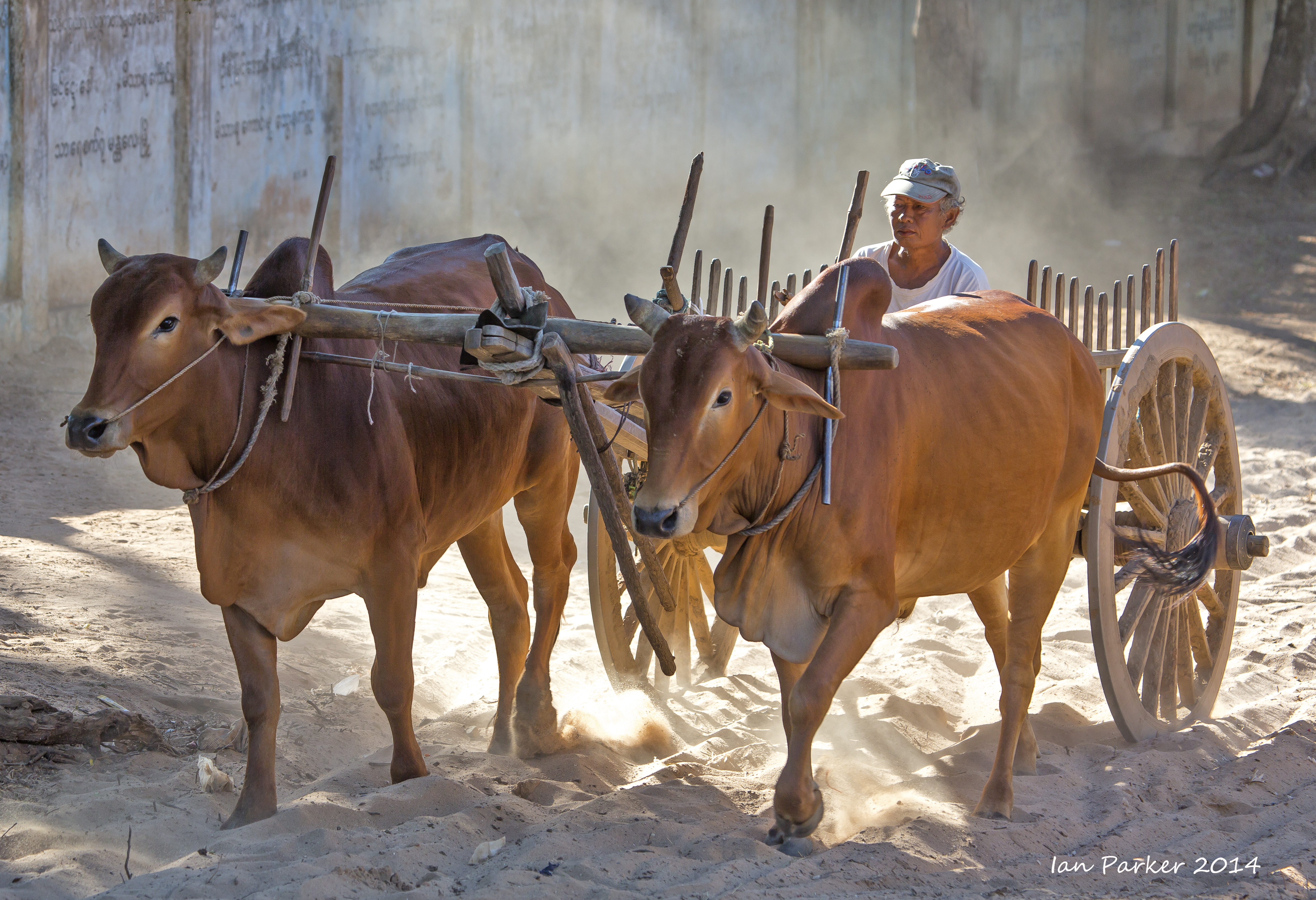
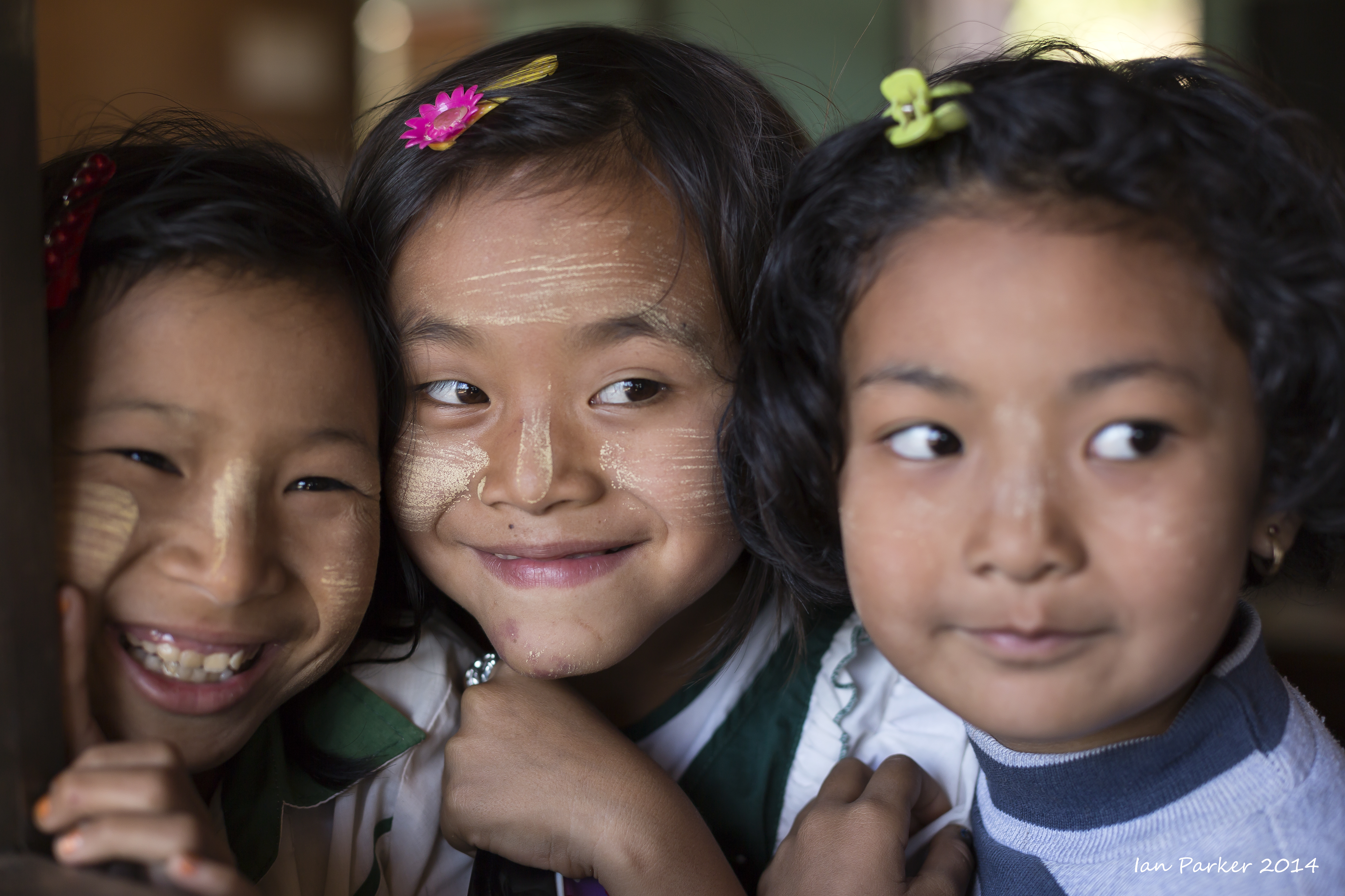
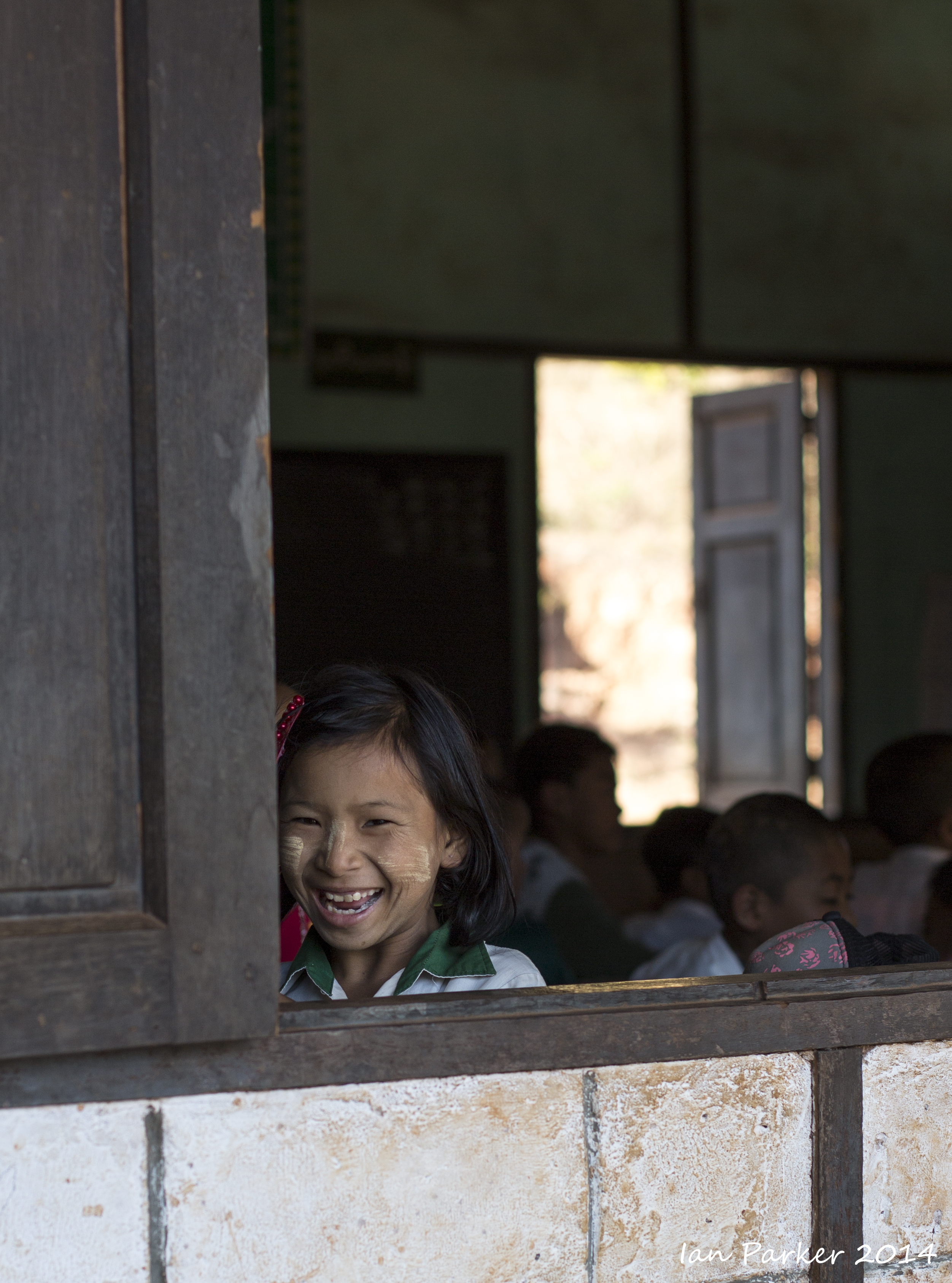
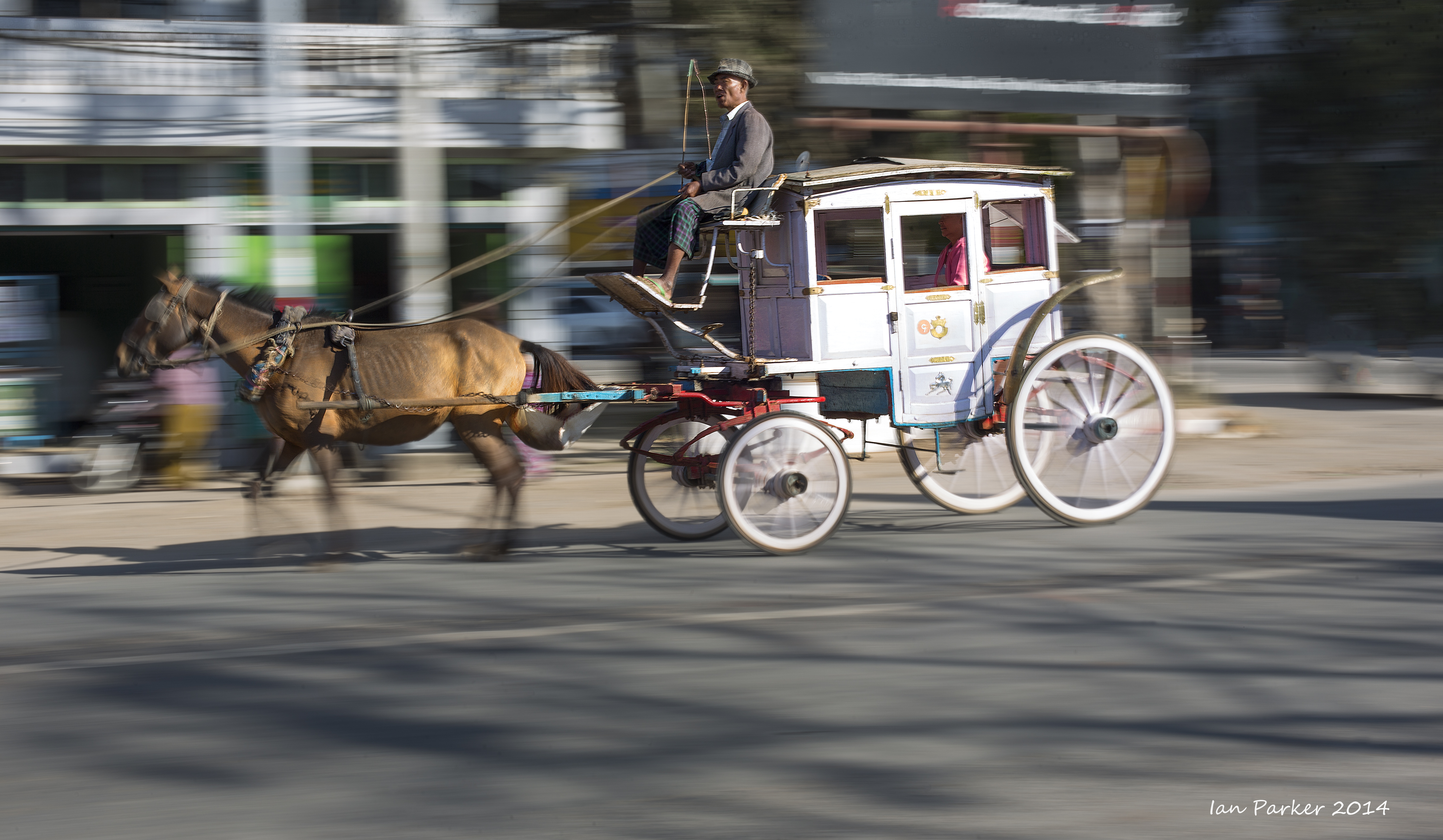
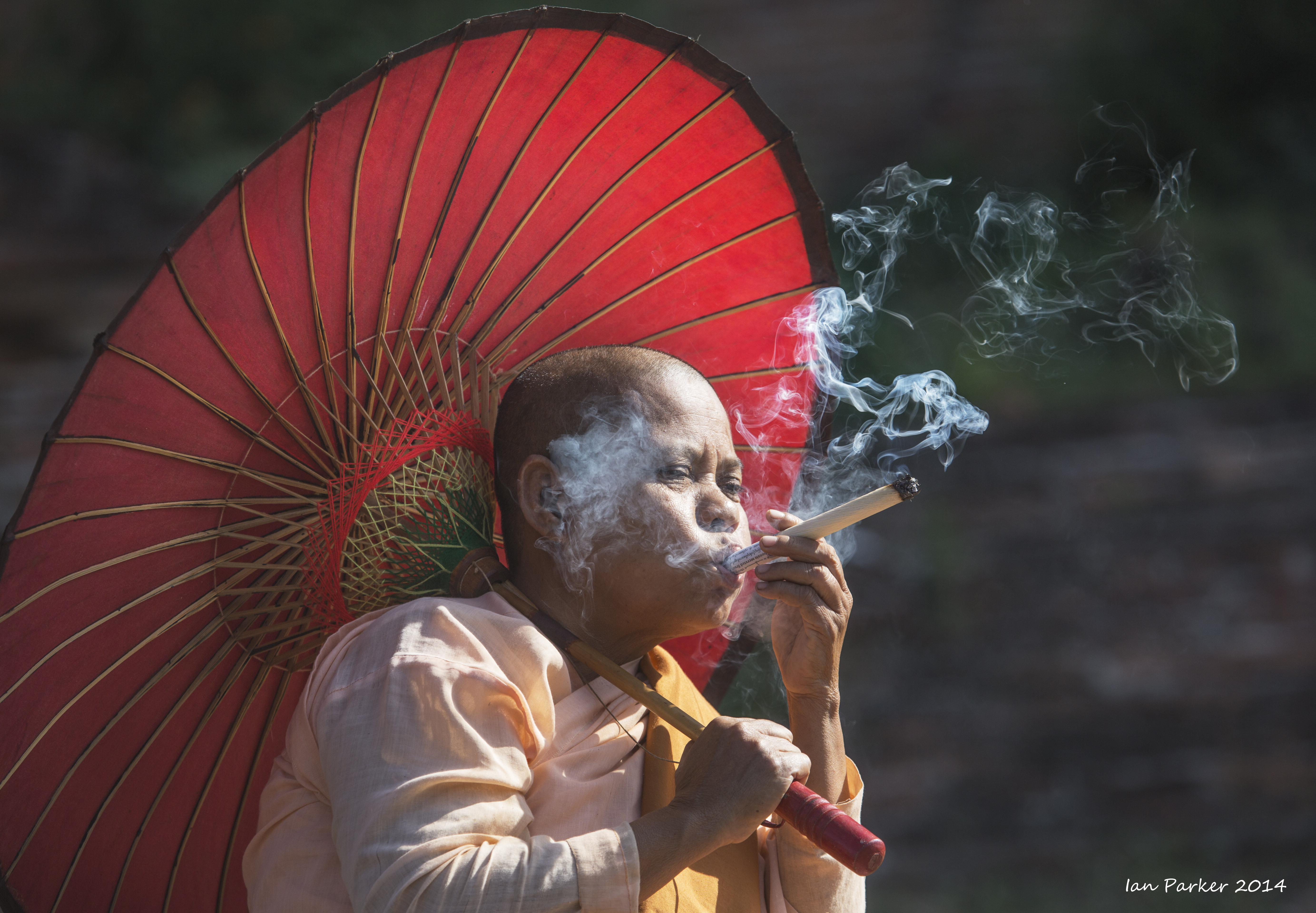
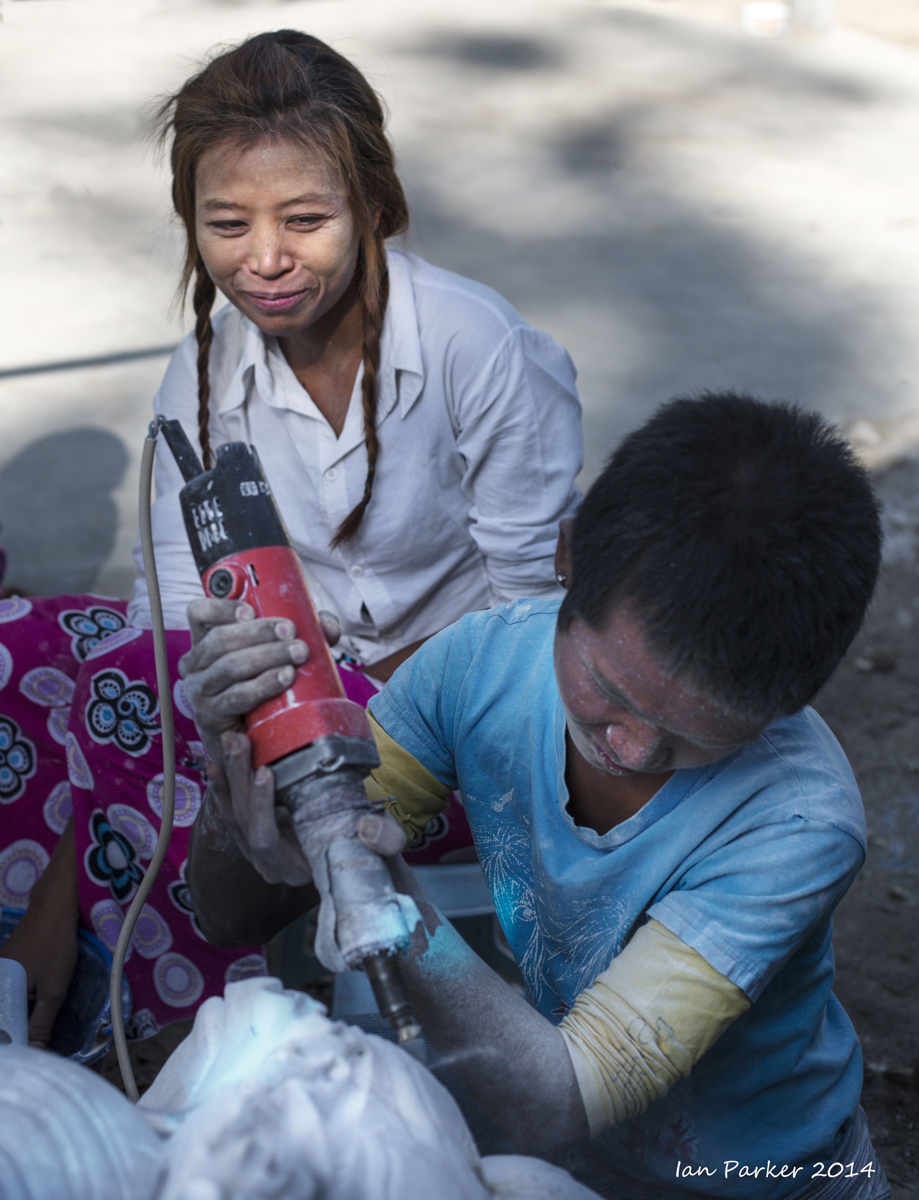
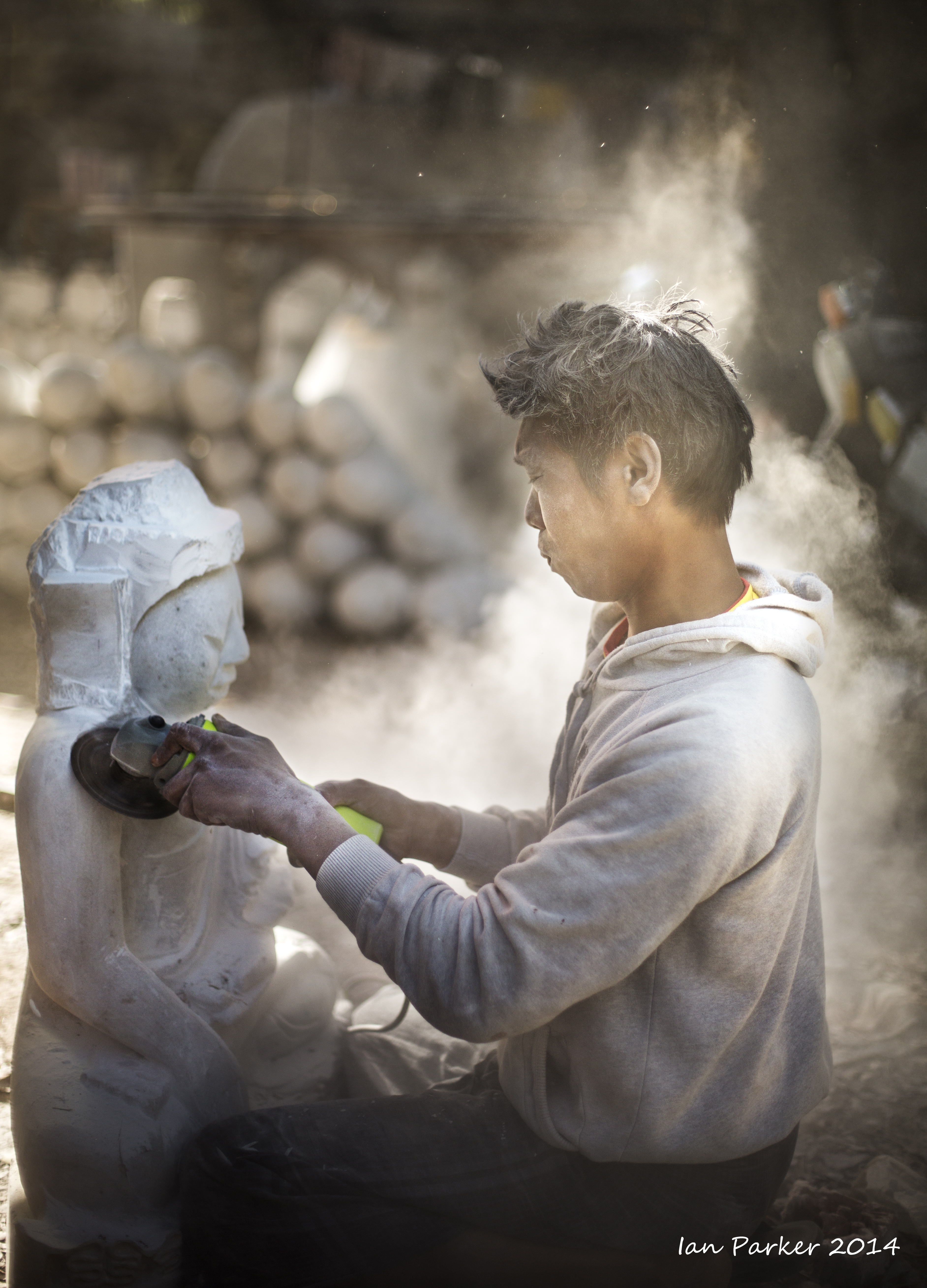
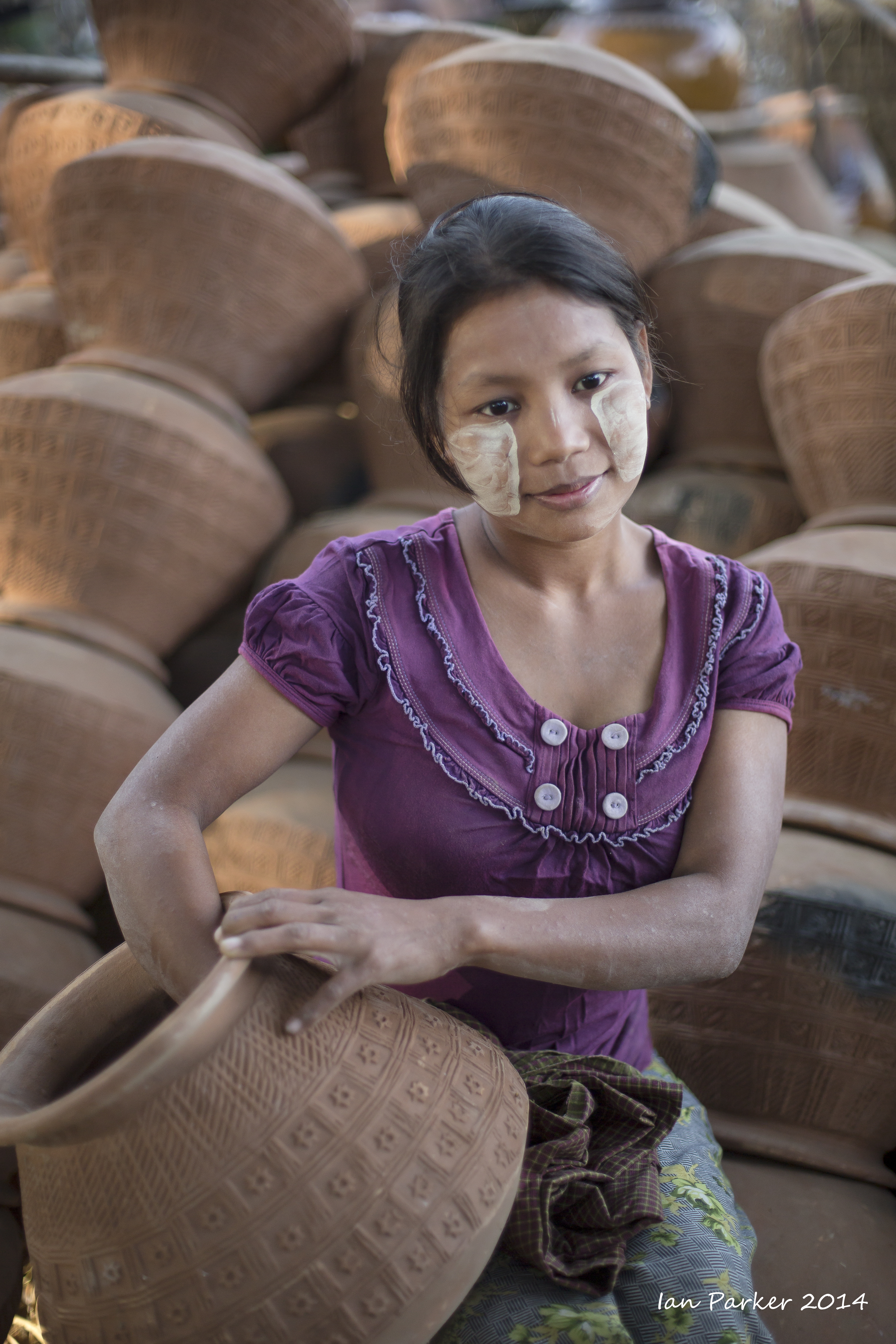
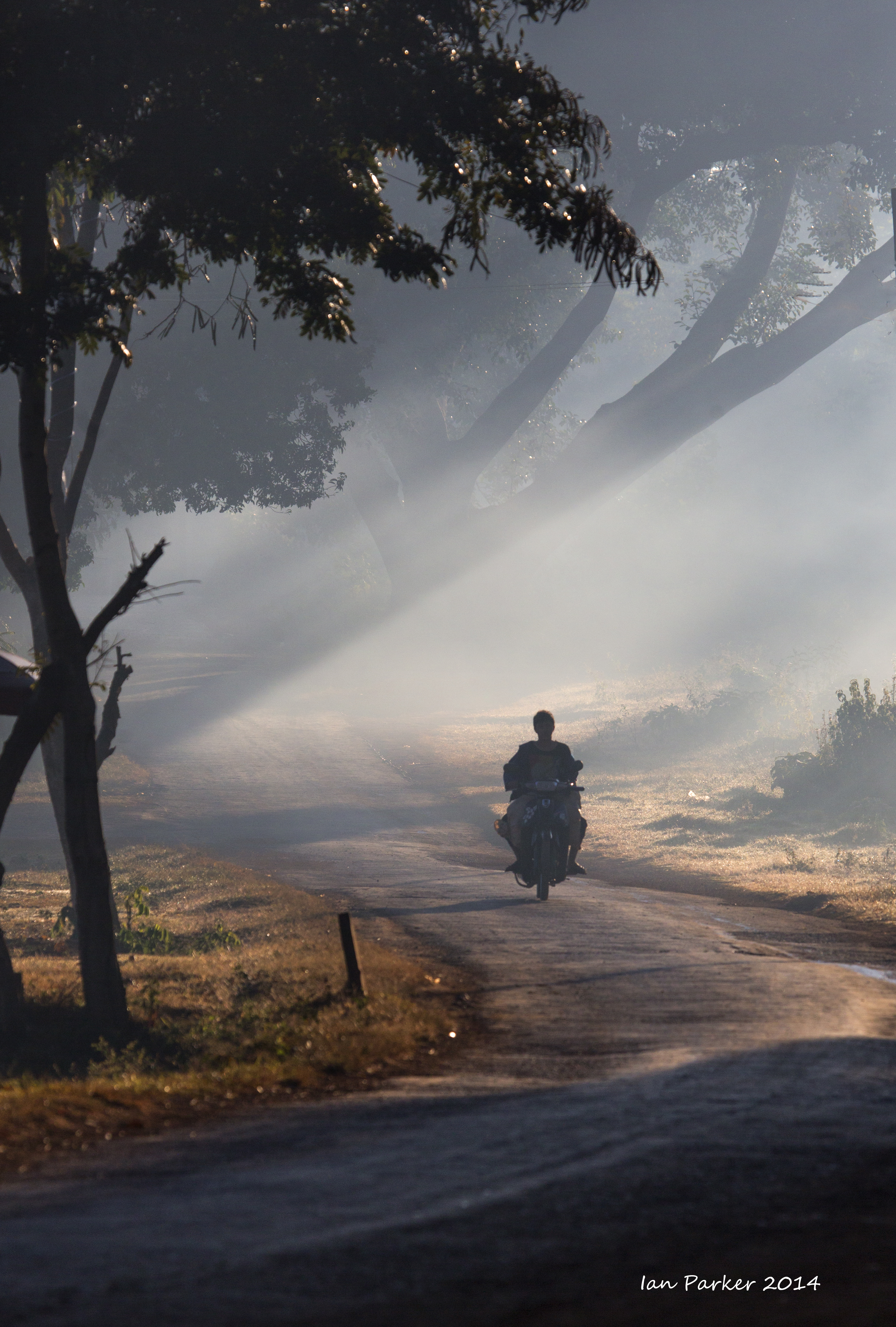
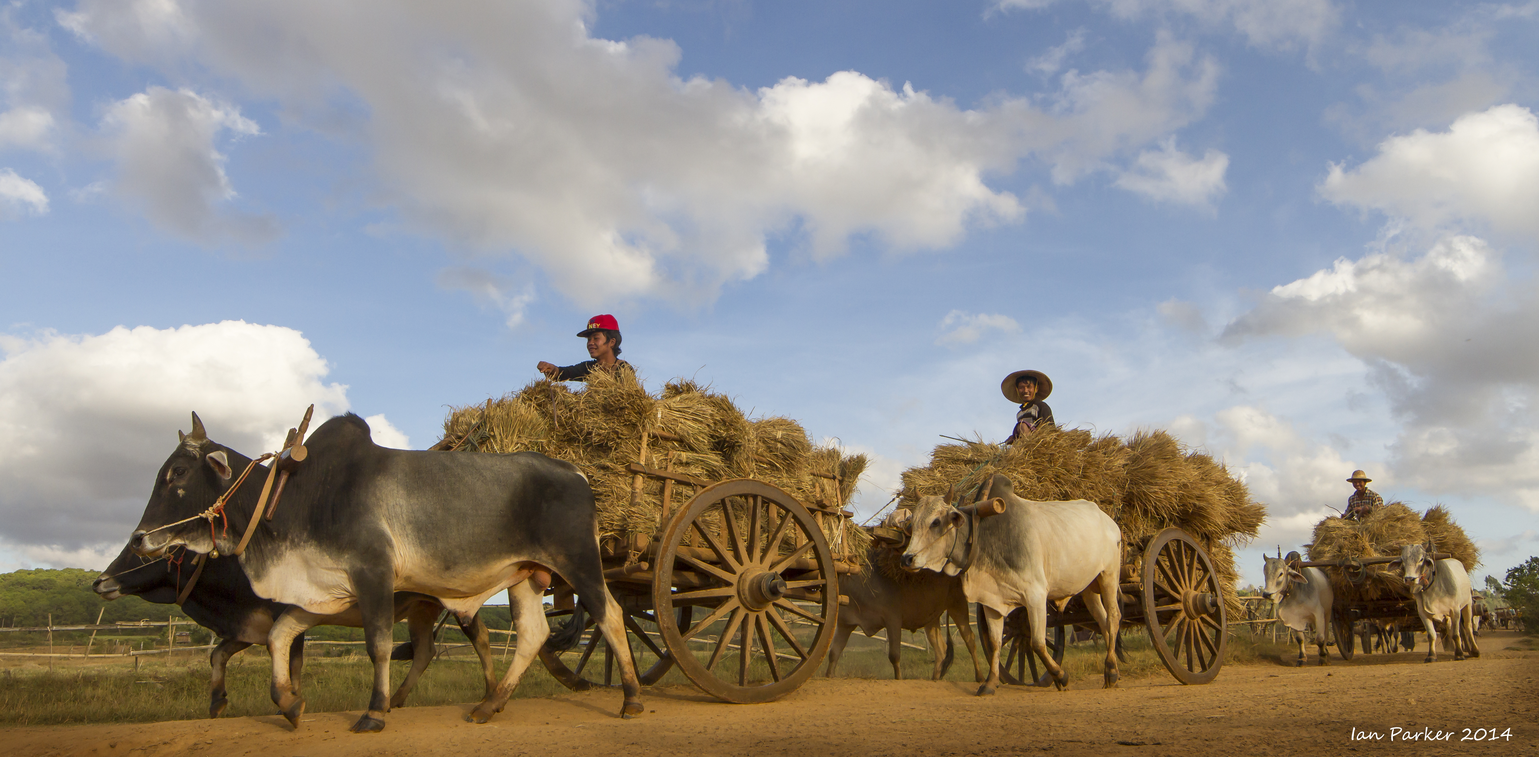
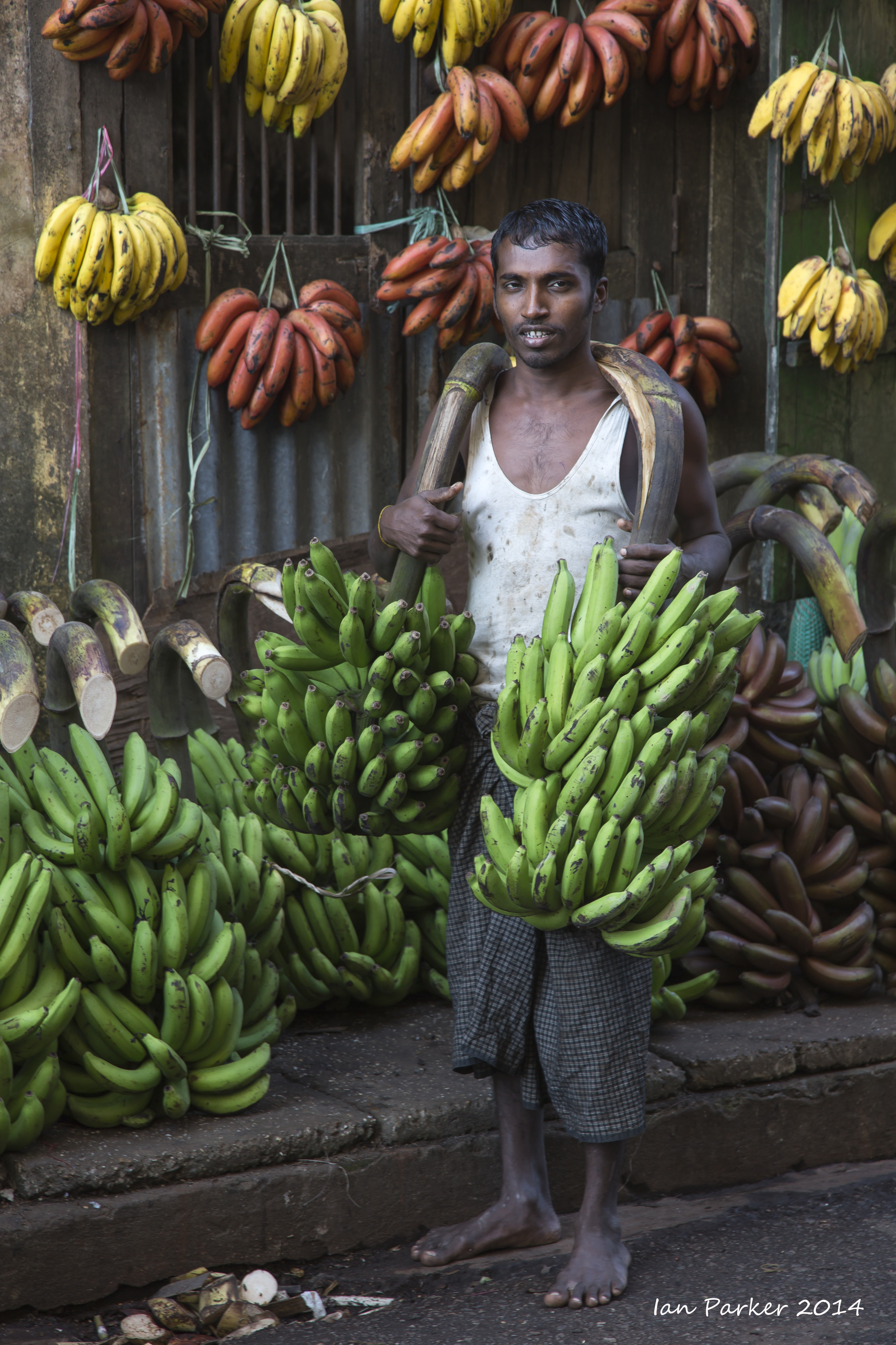
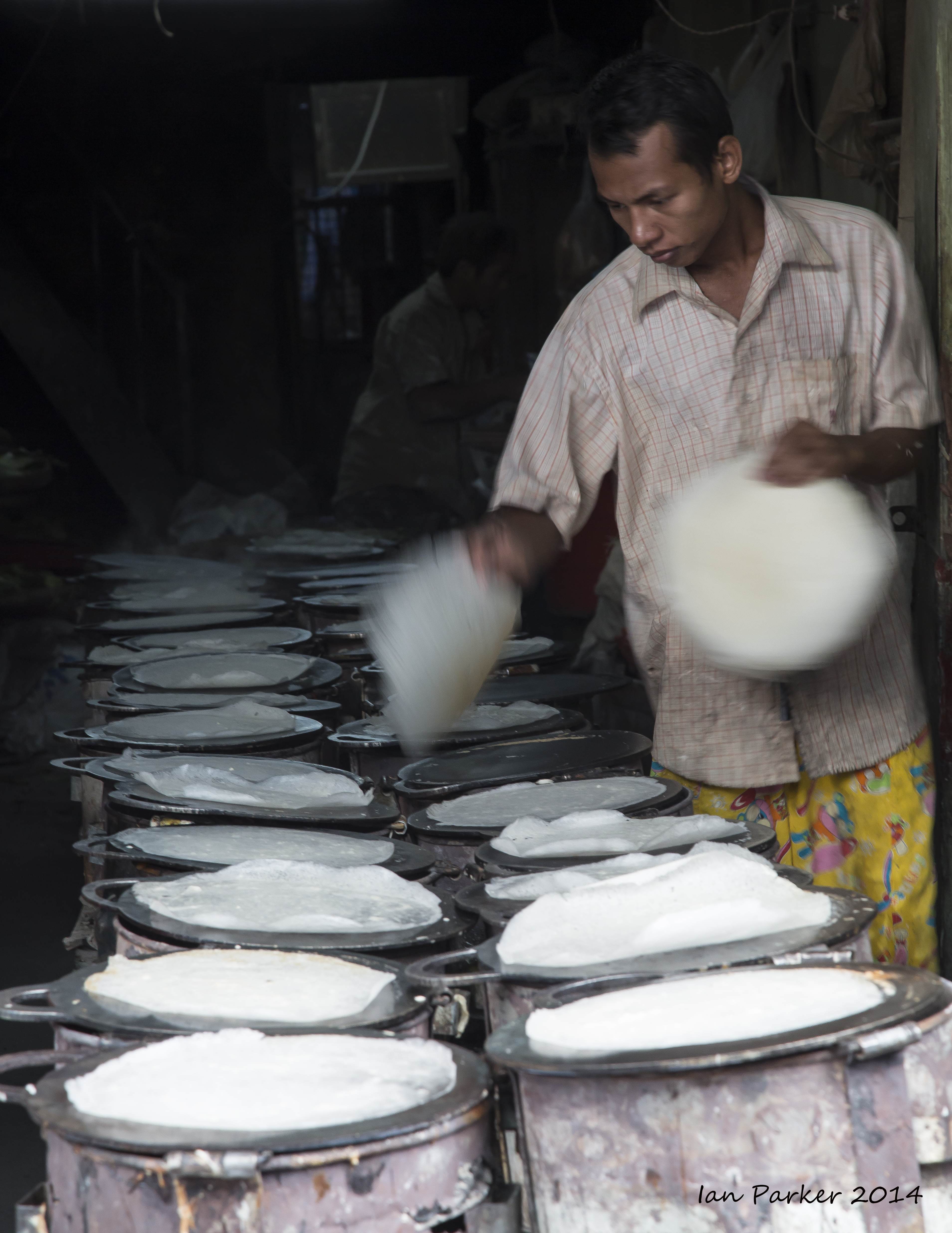
Dusty stree scenes in a village near Bagan
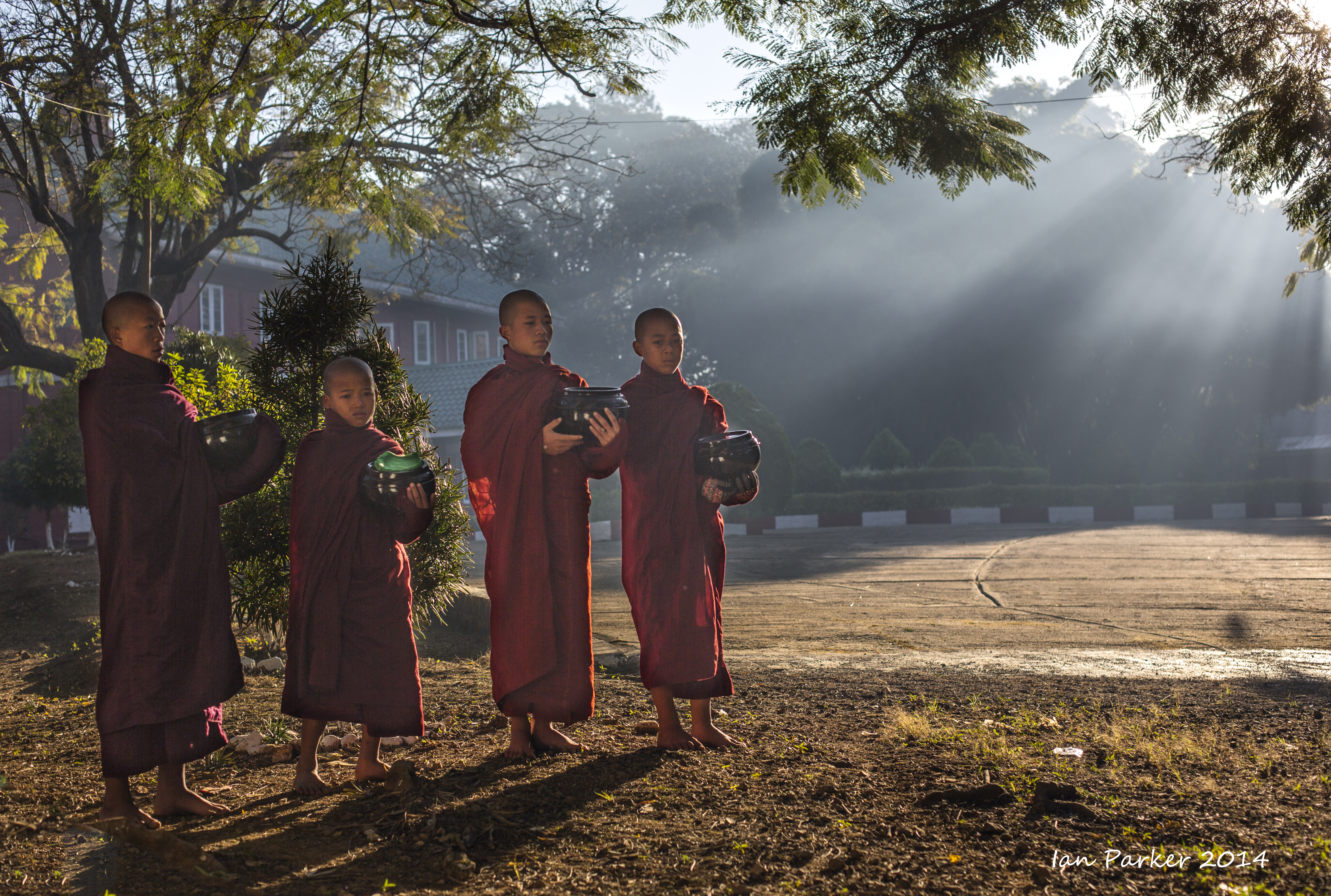
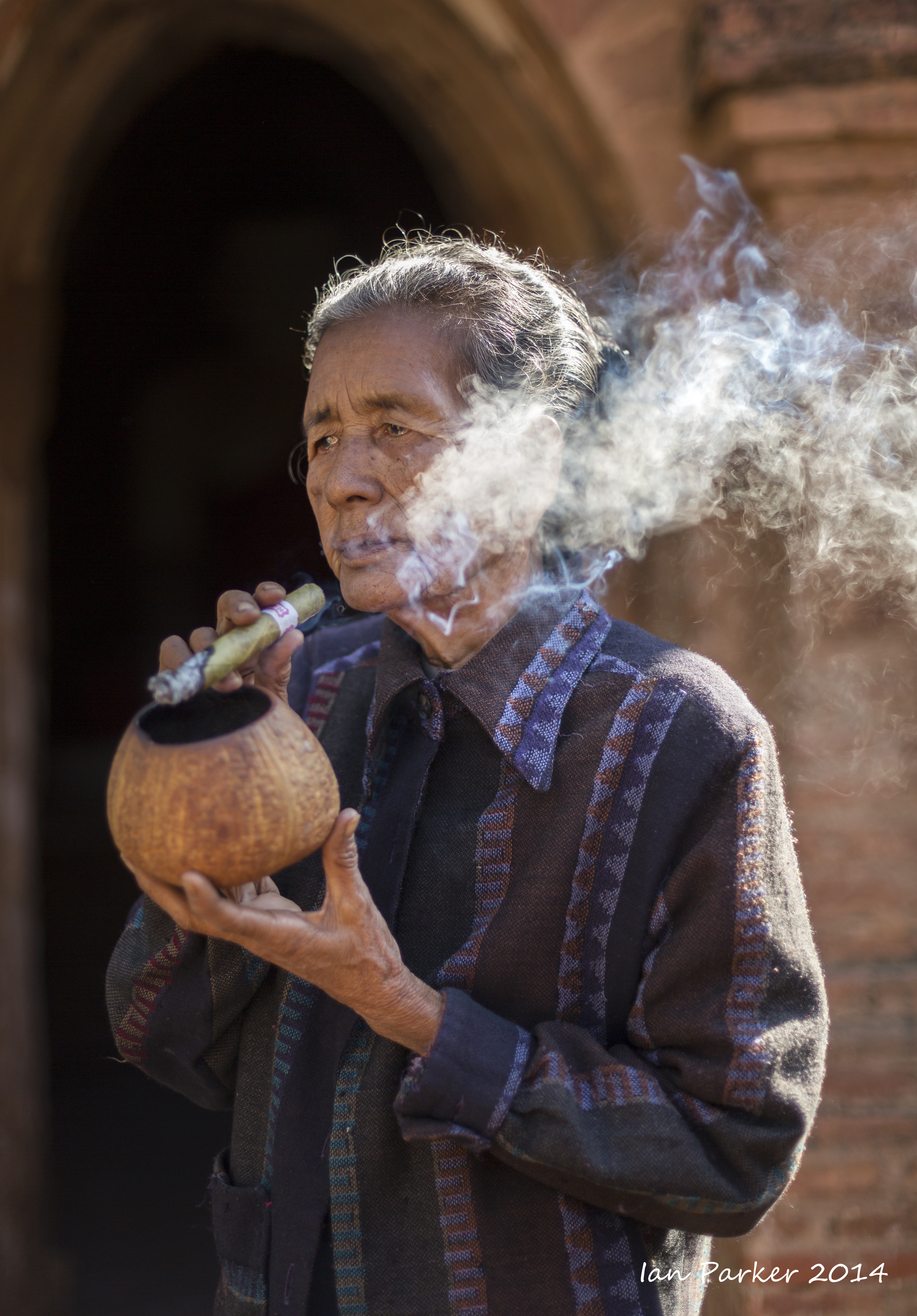
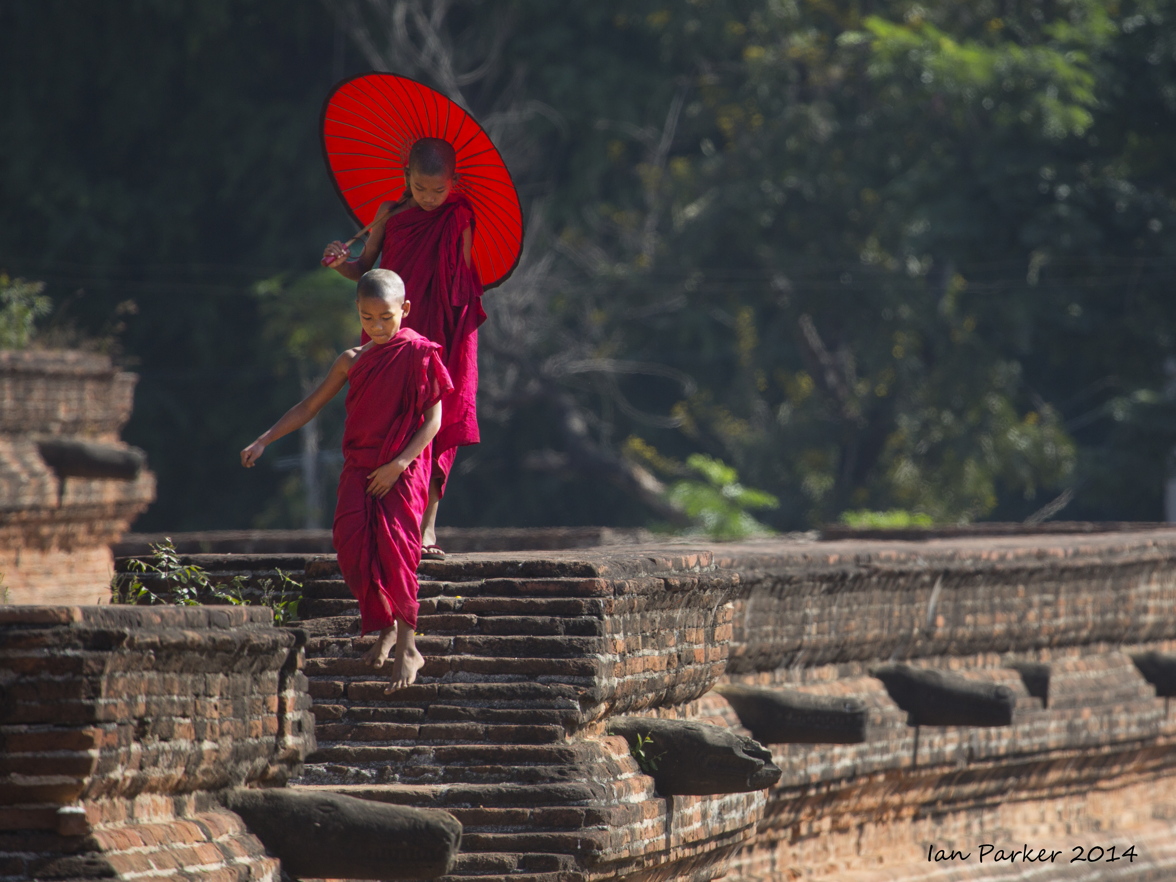
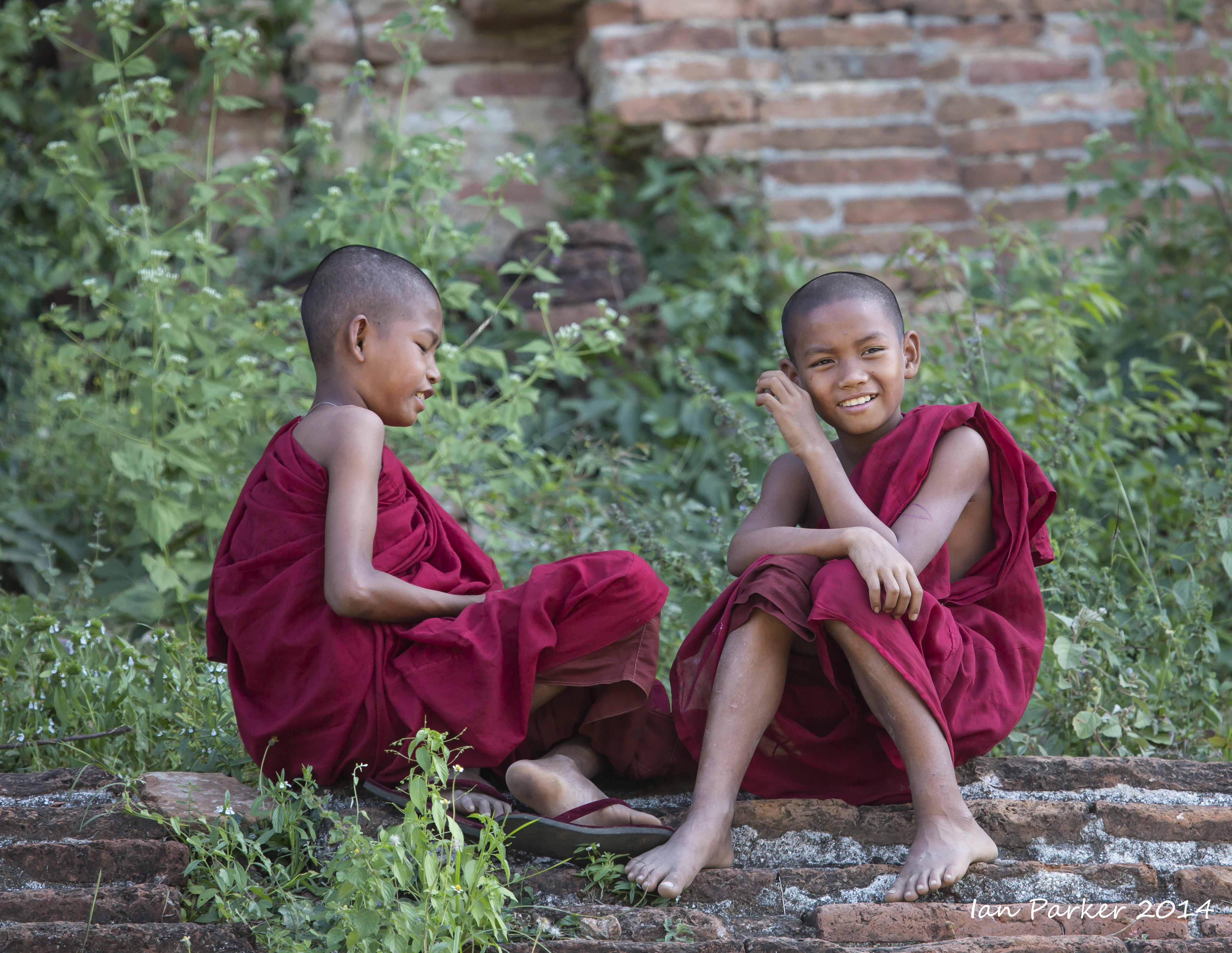
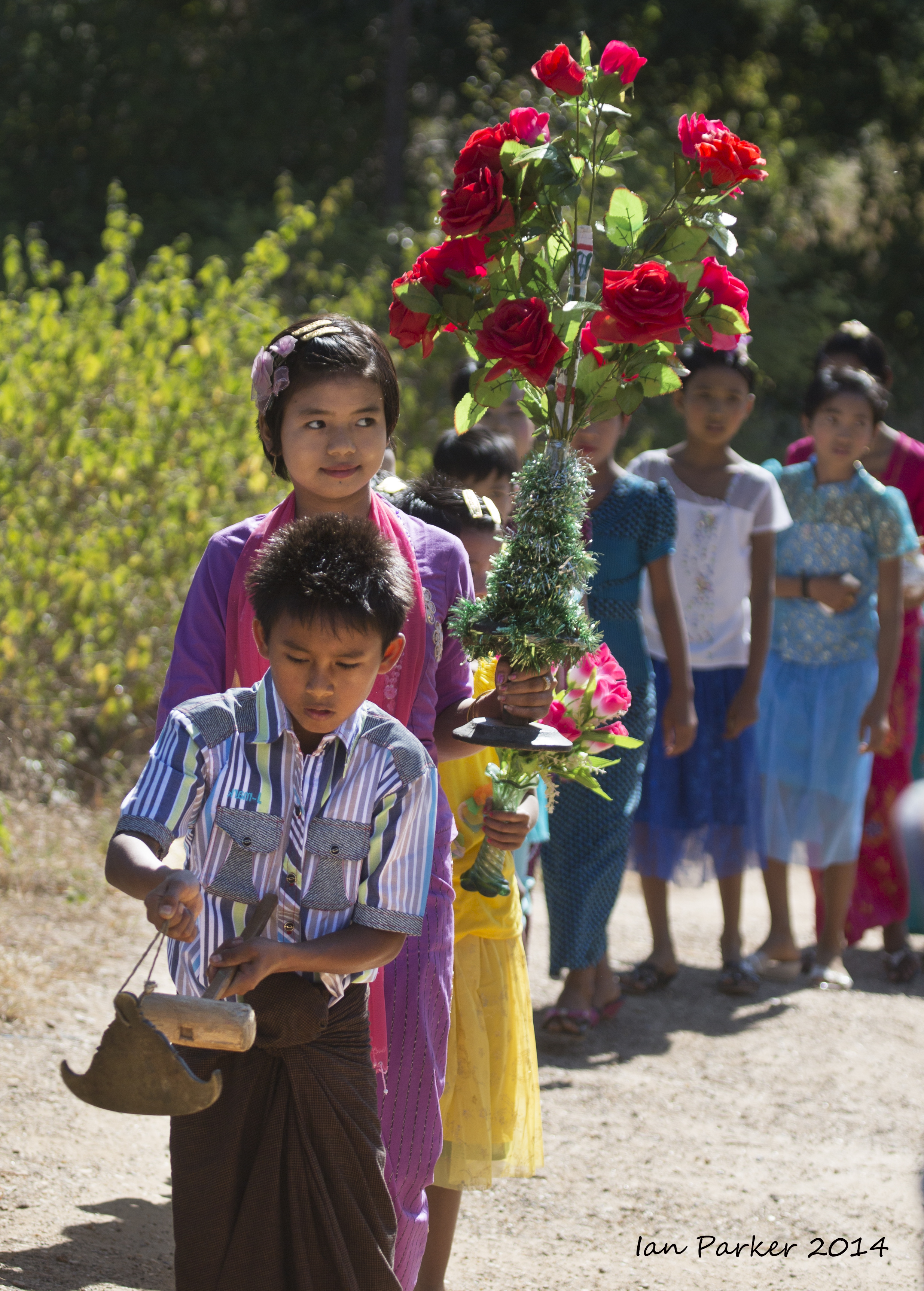
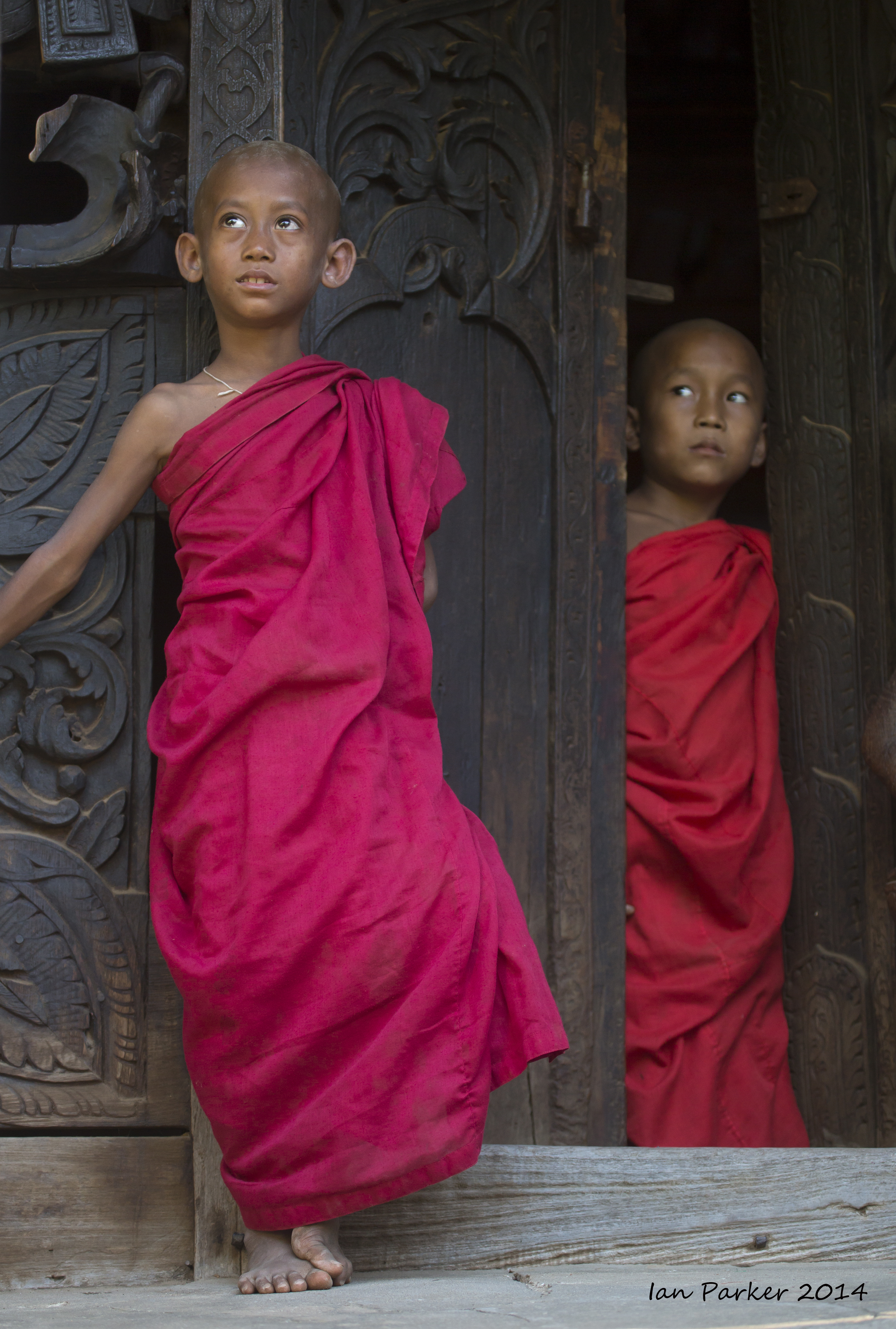
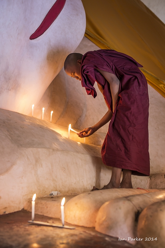
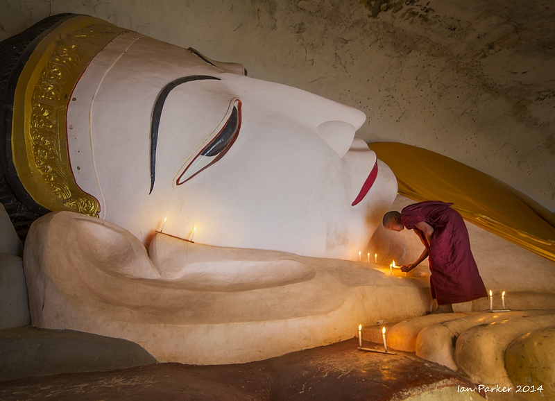
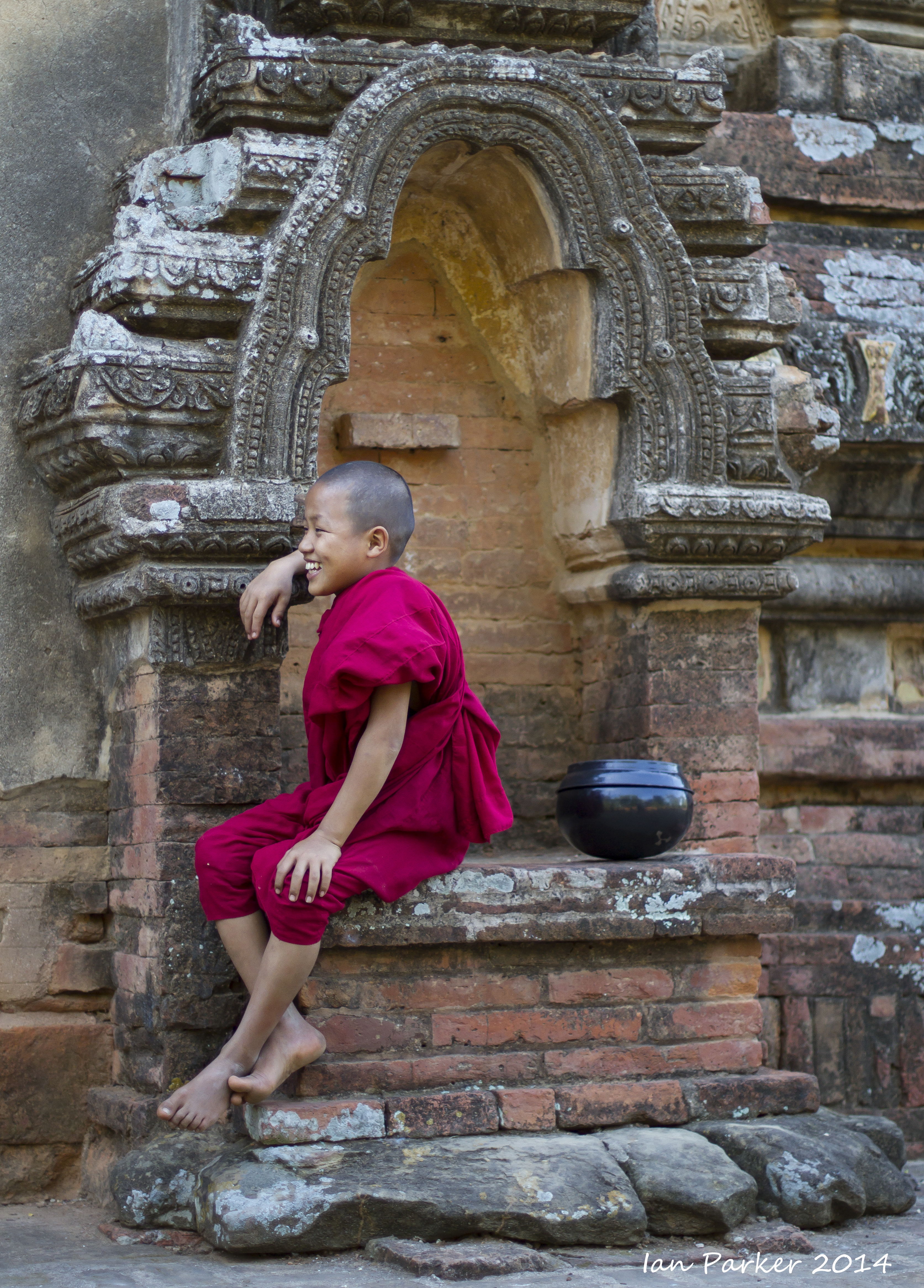
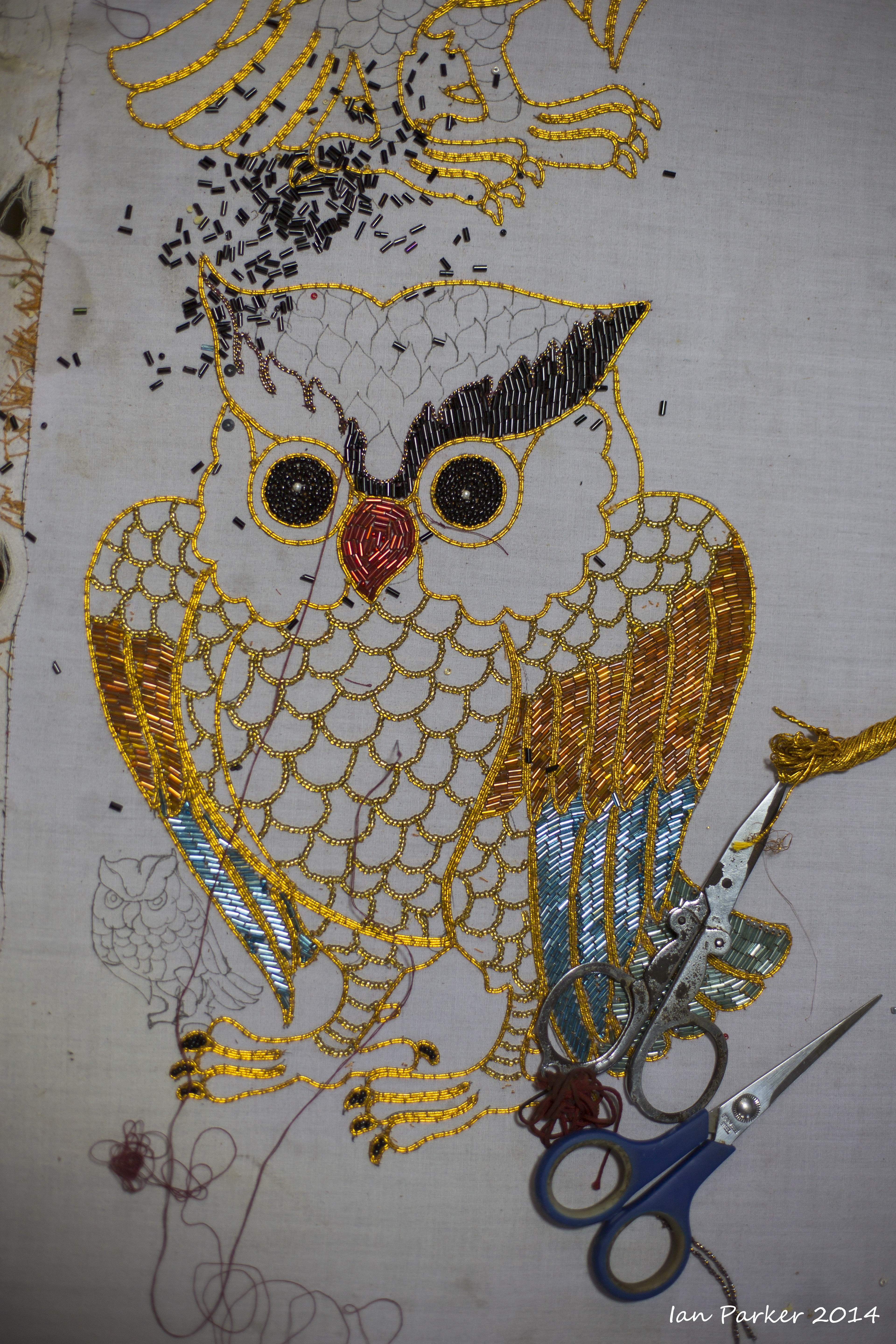
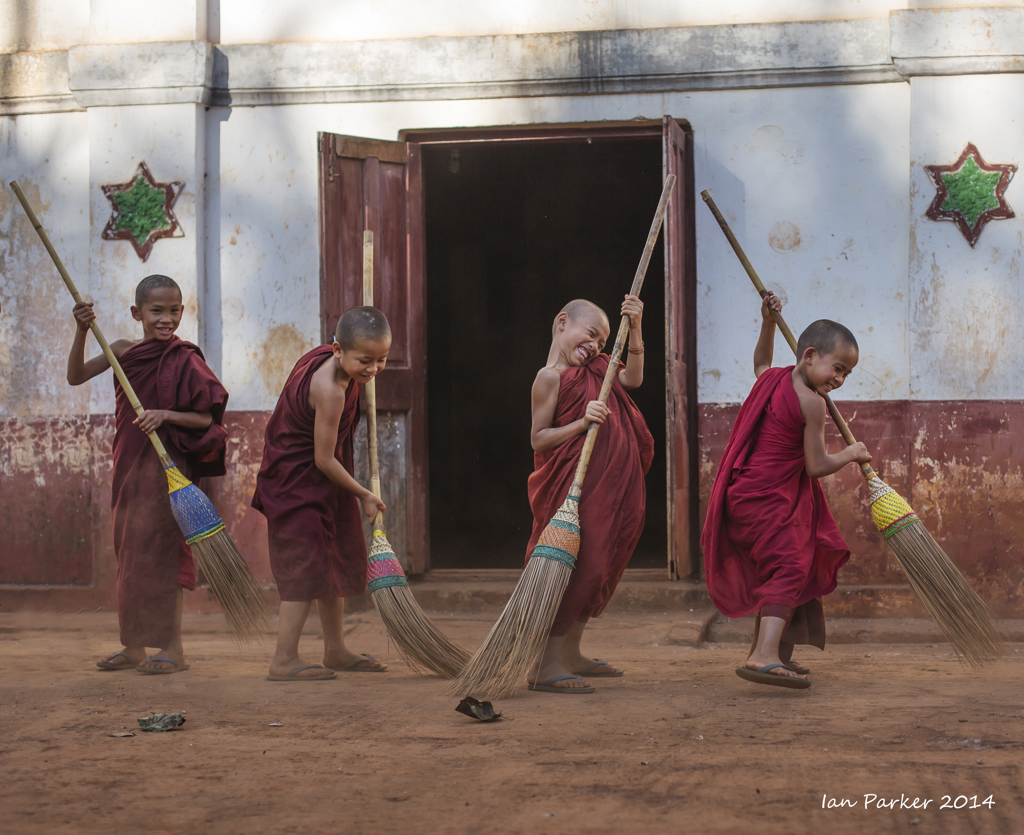
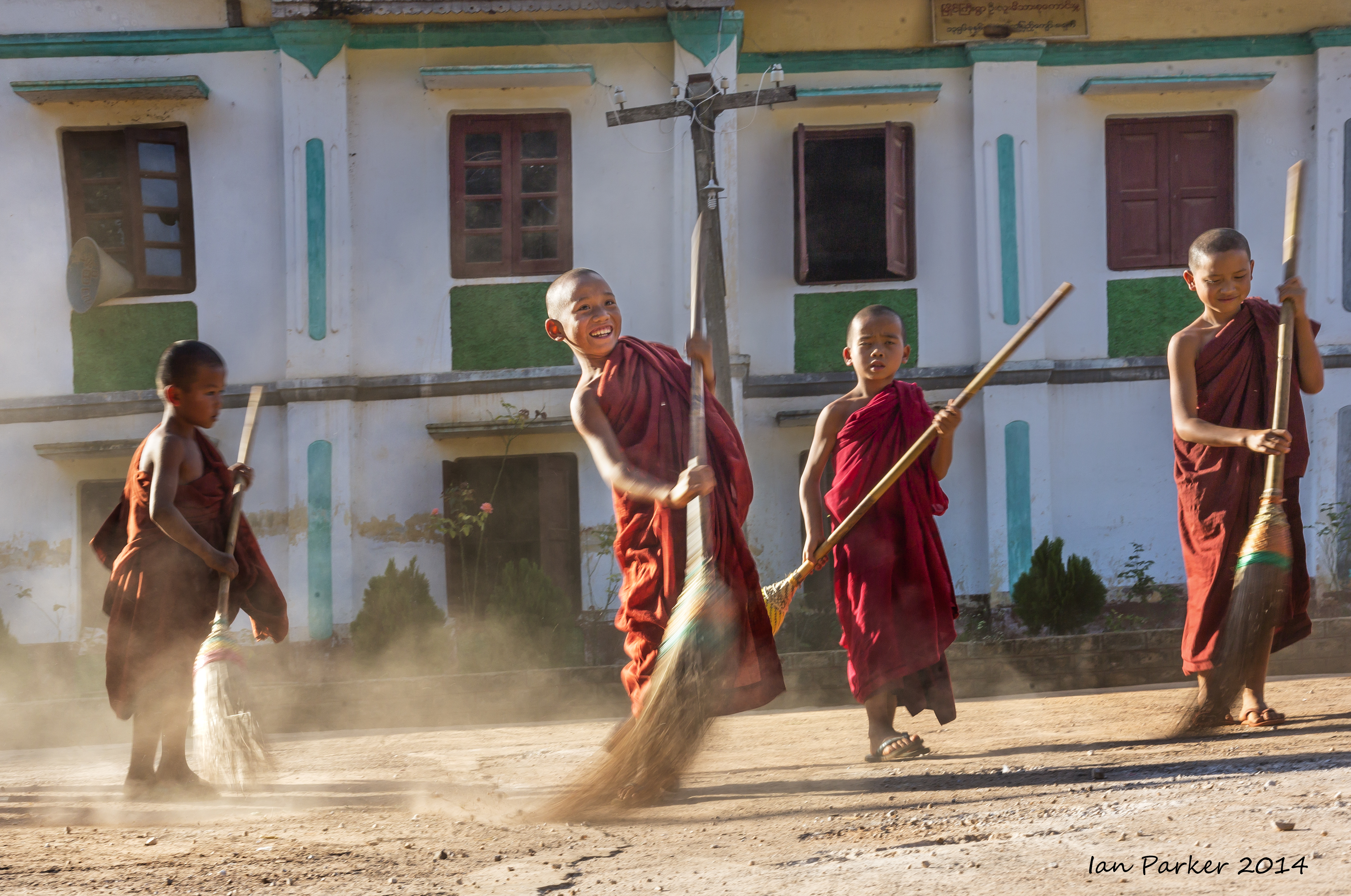
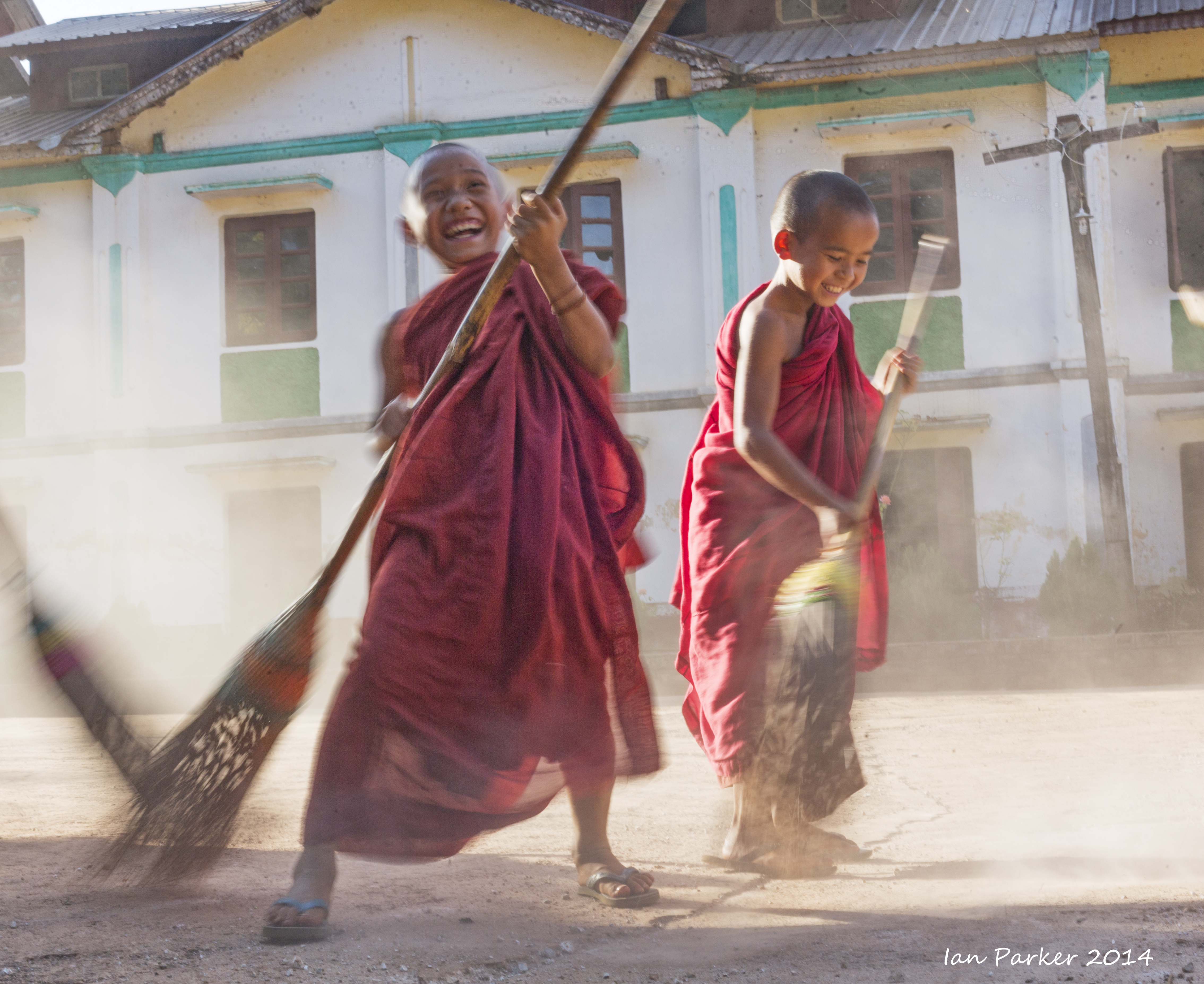
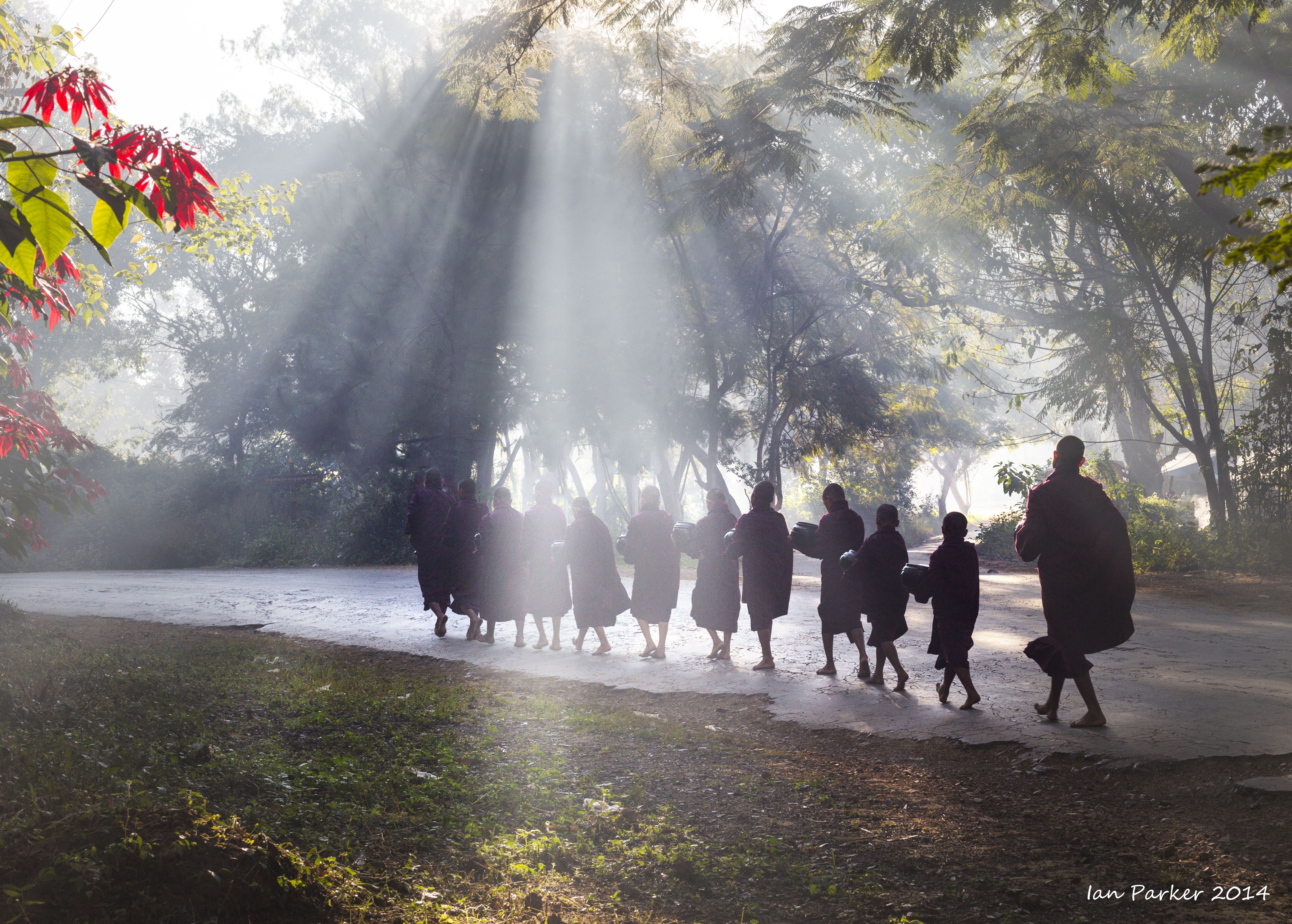
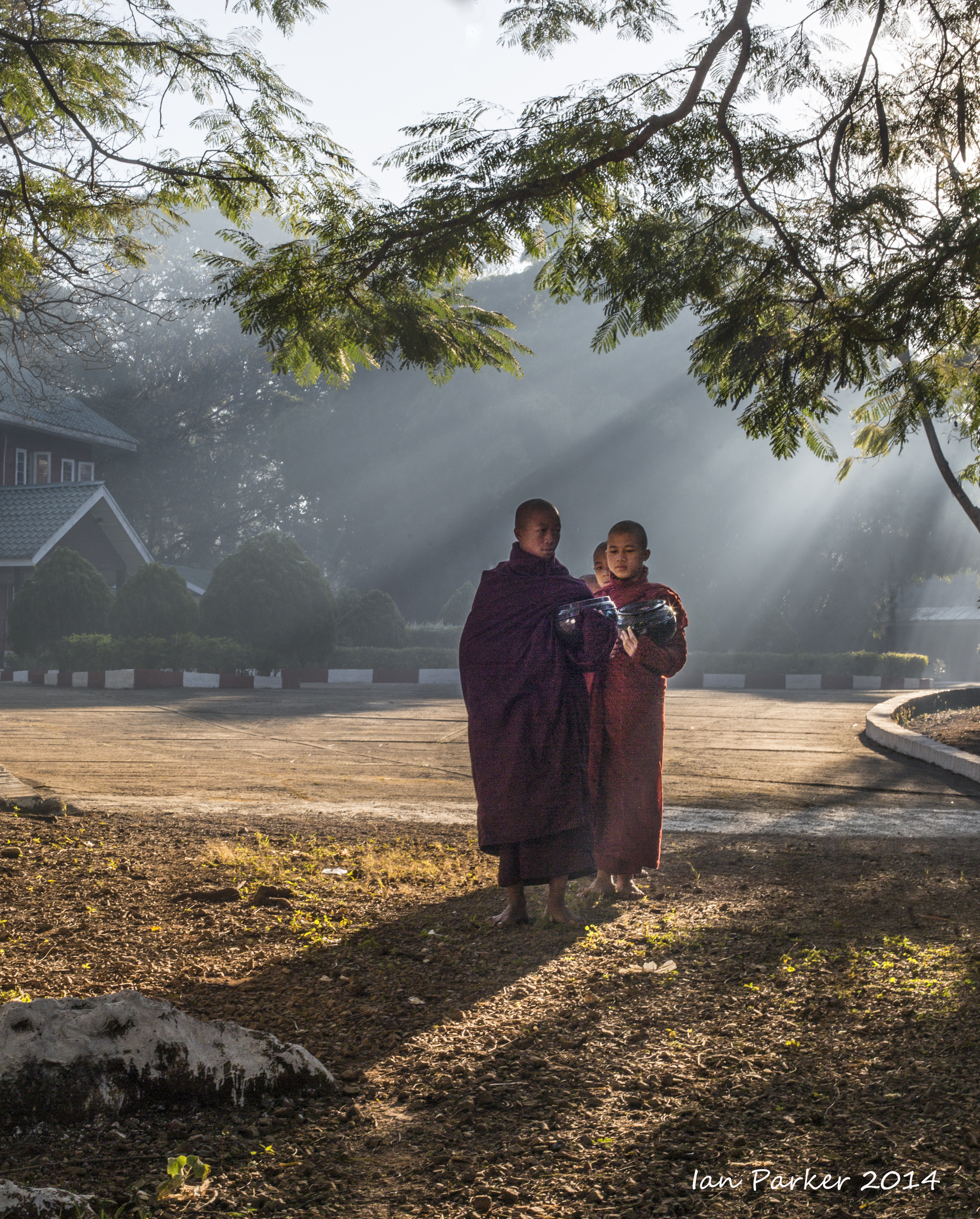
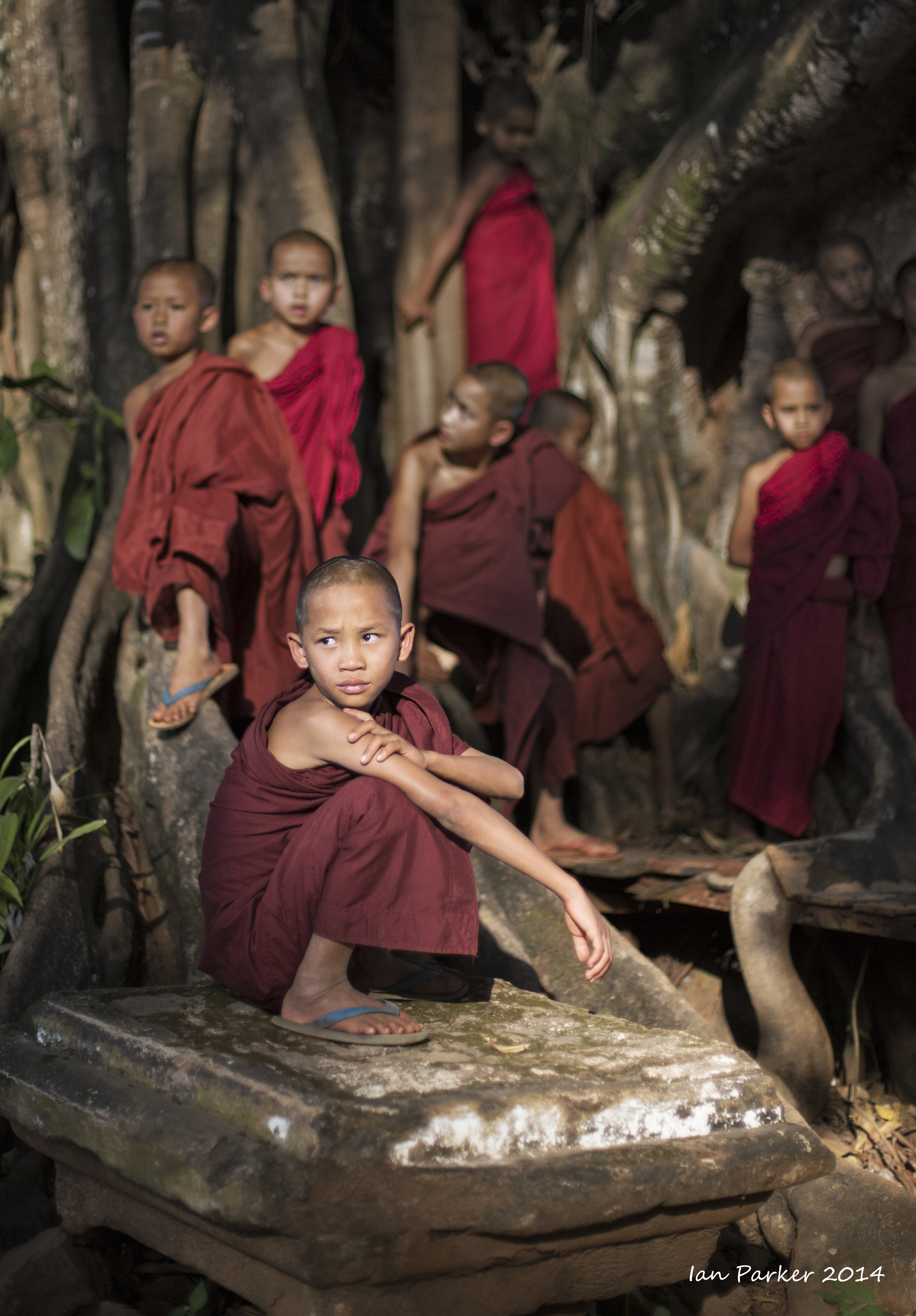
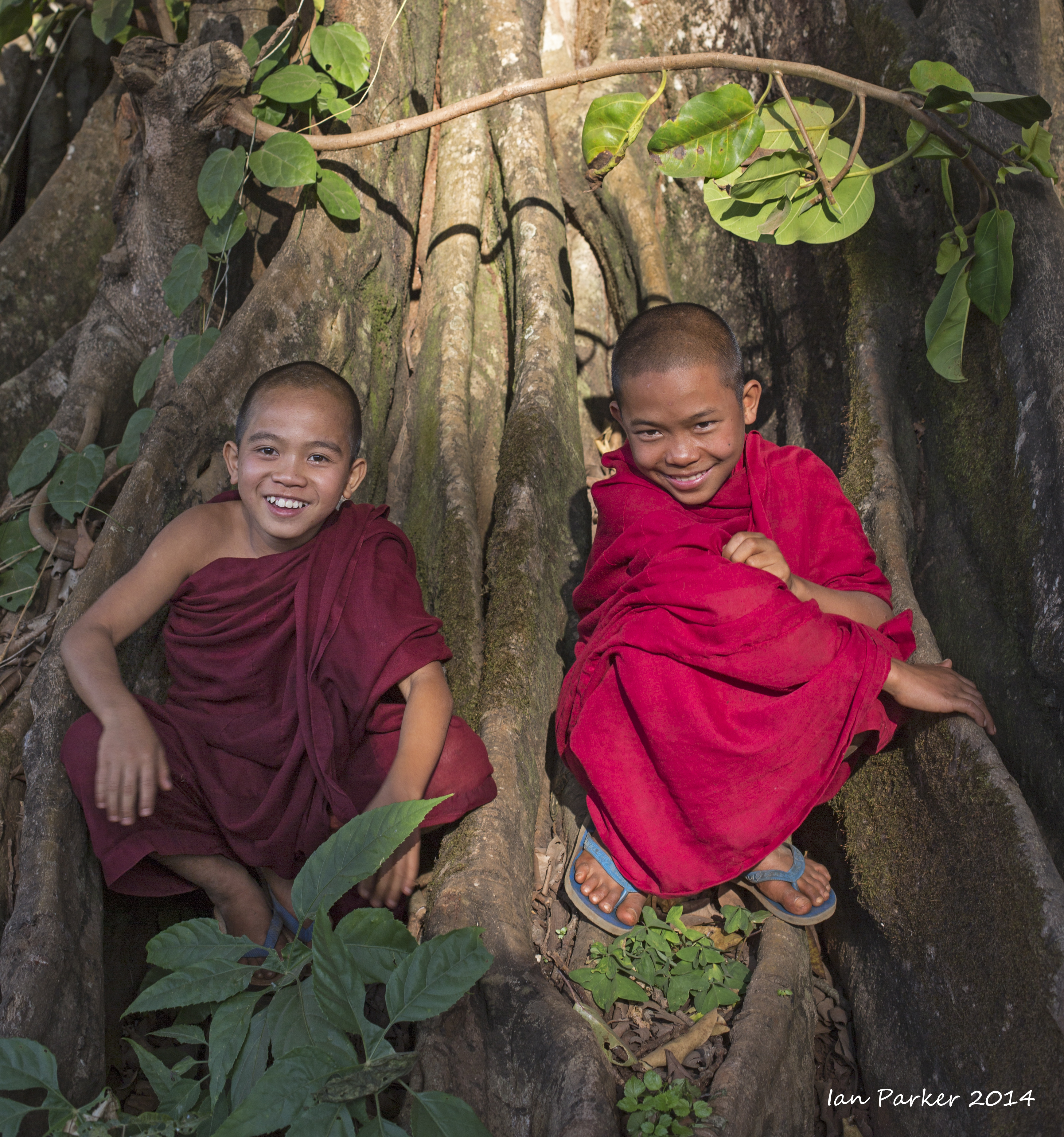
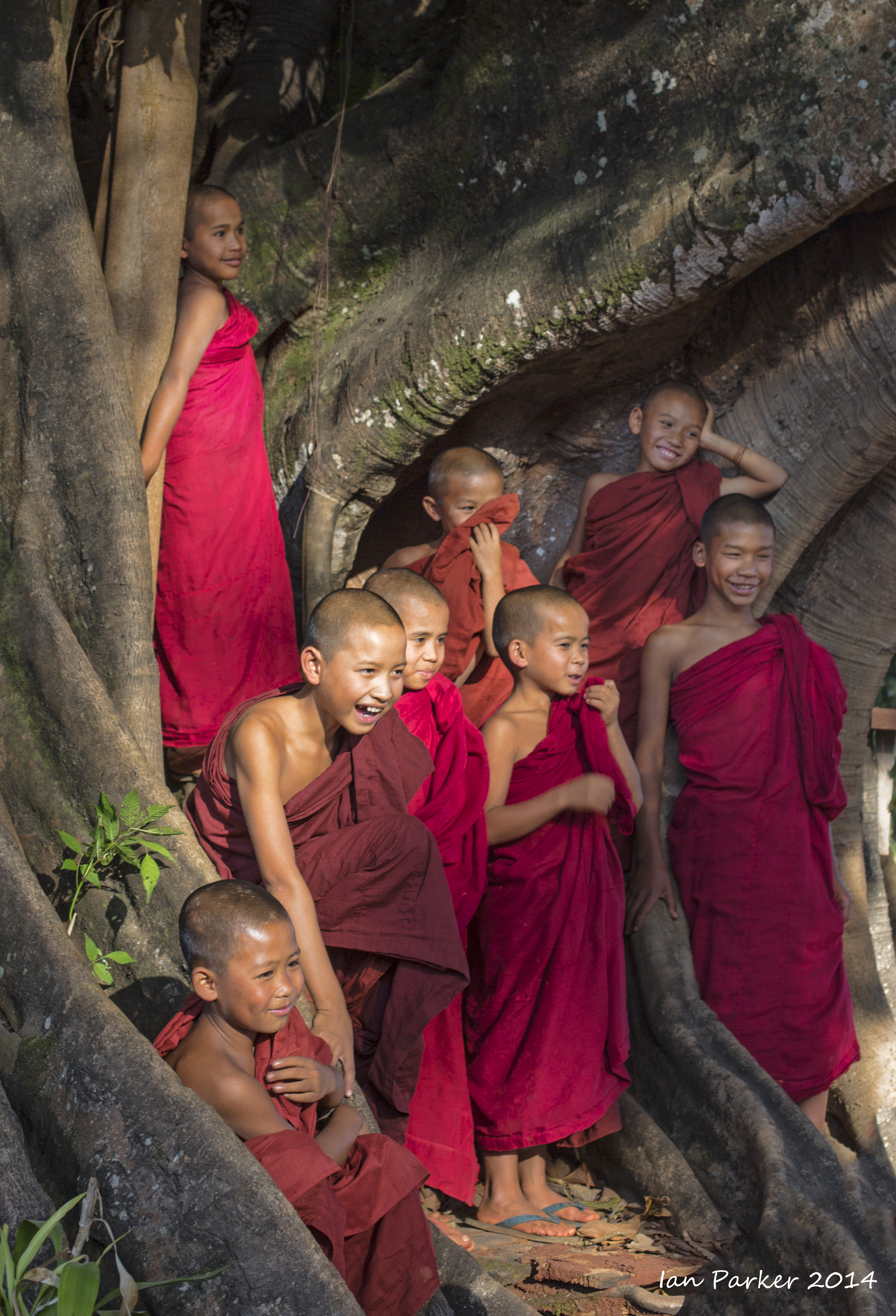
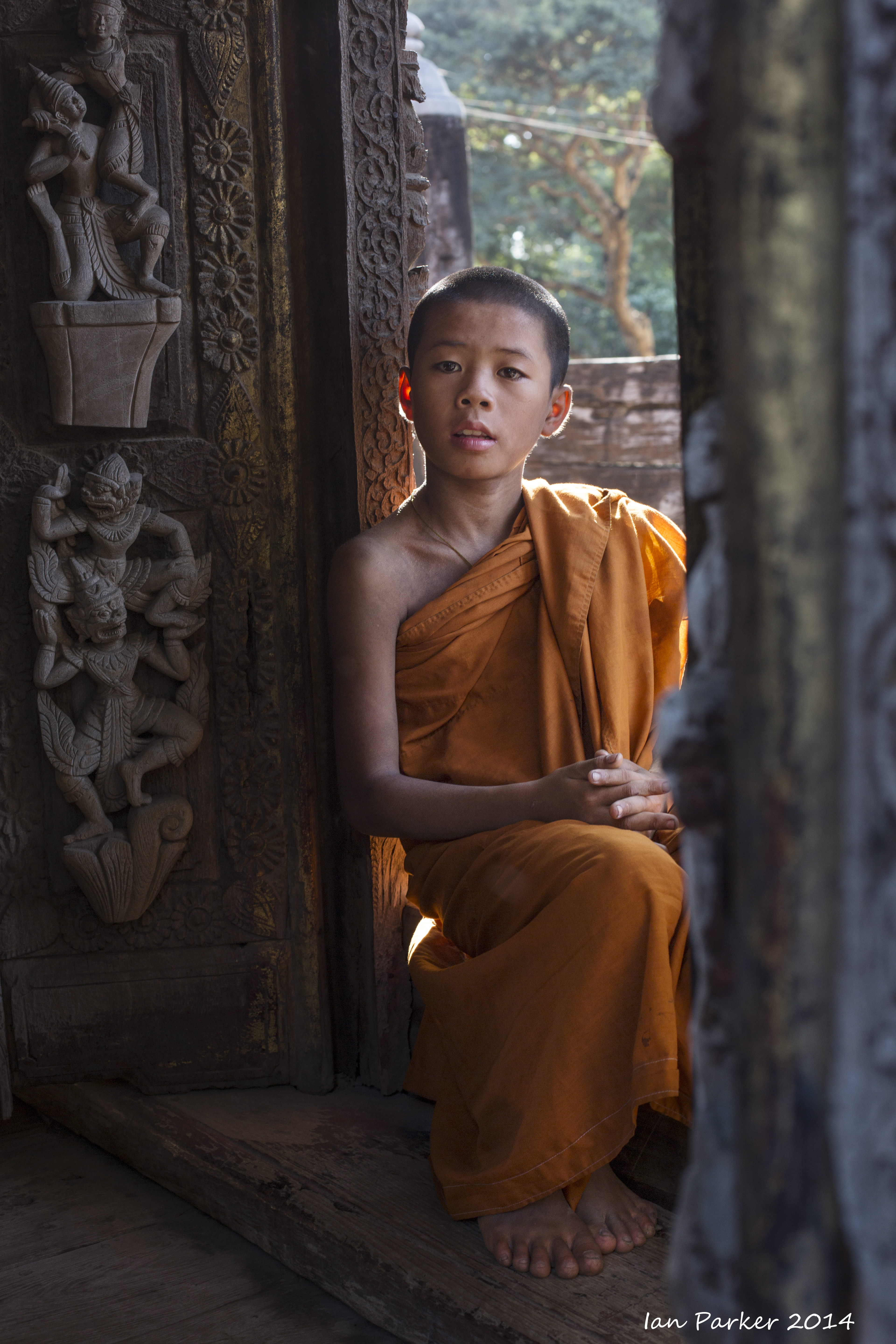
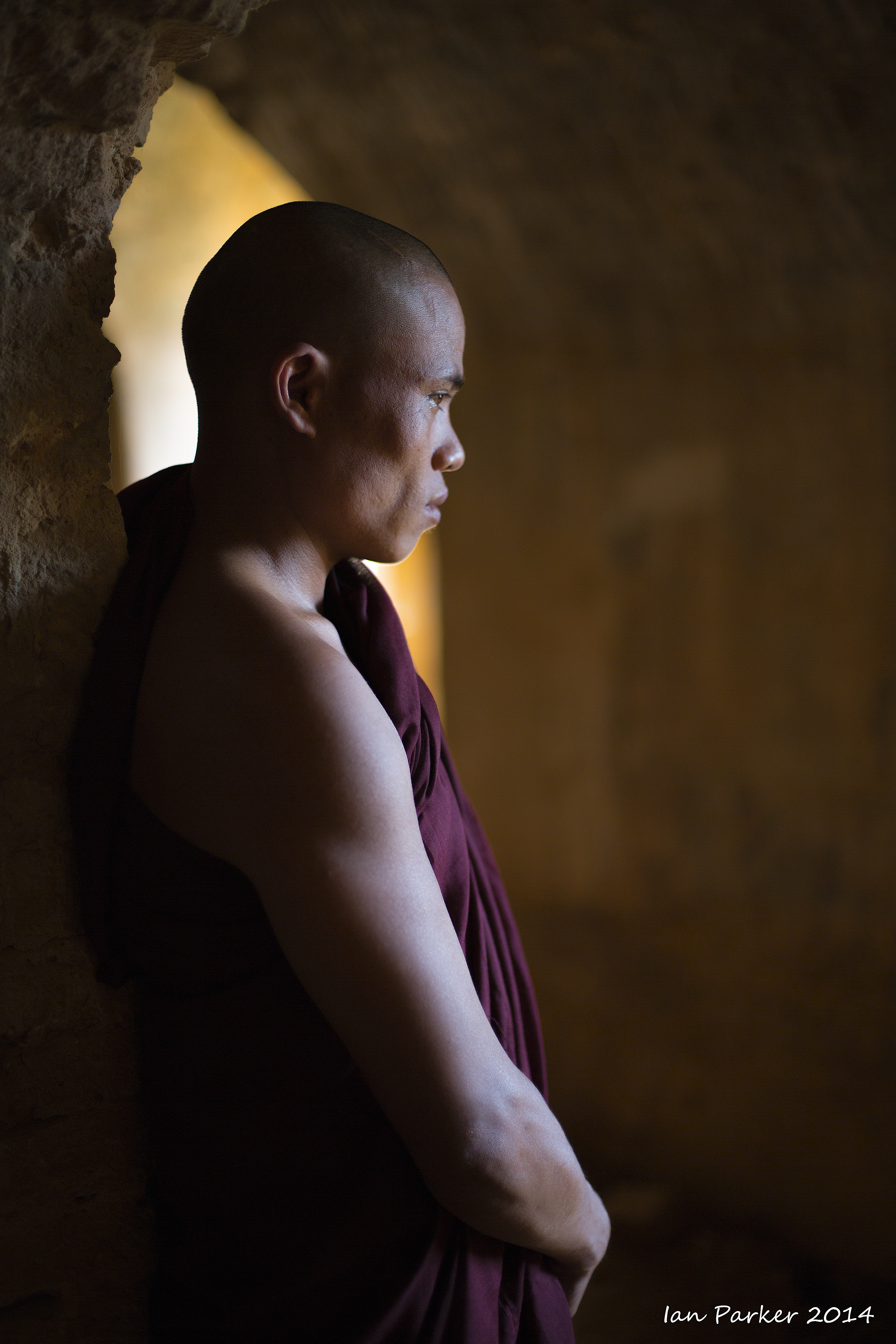
Monastic life in Salay
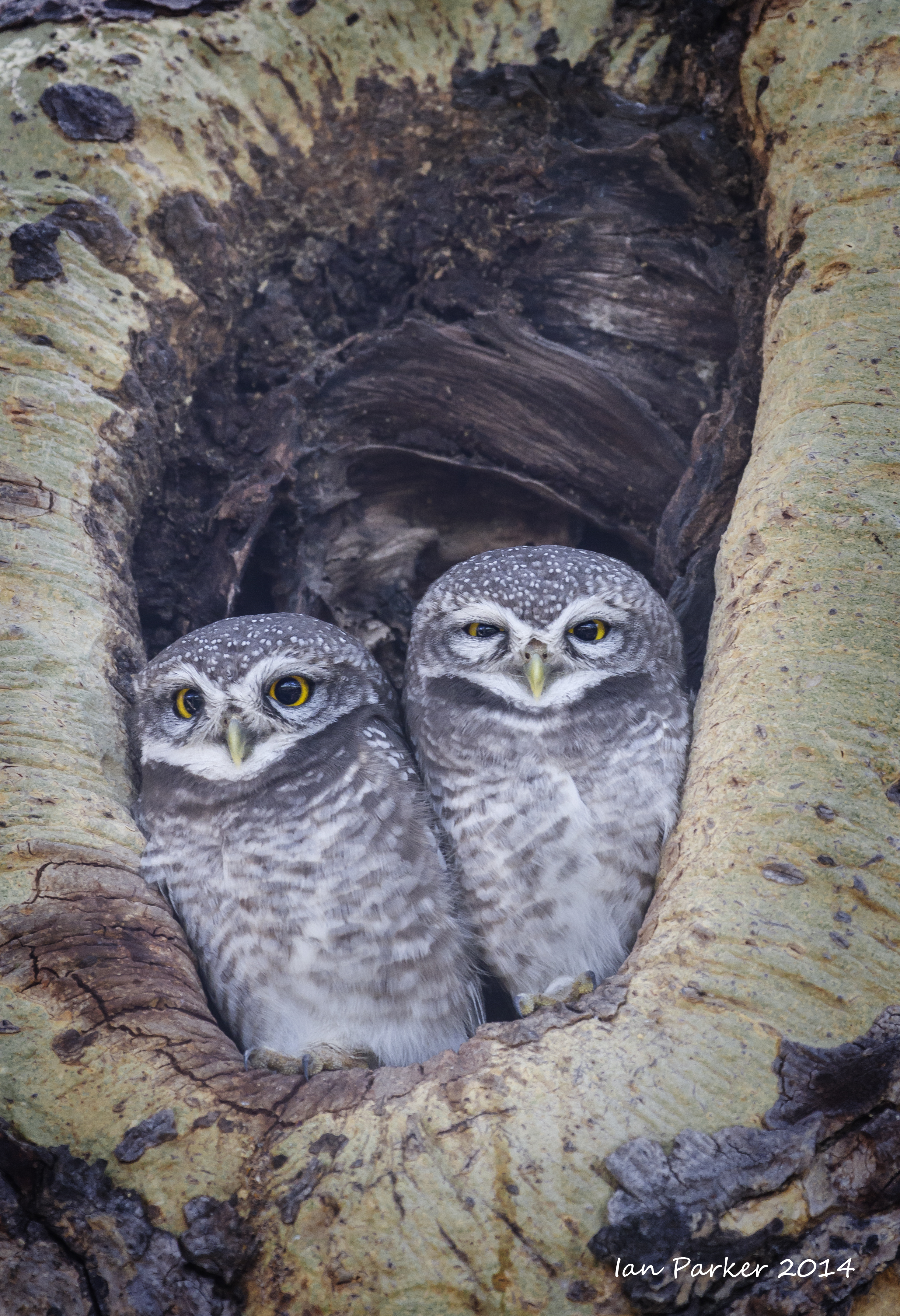
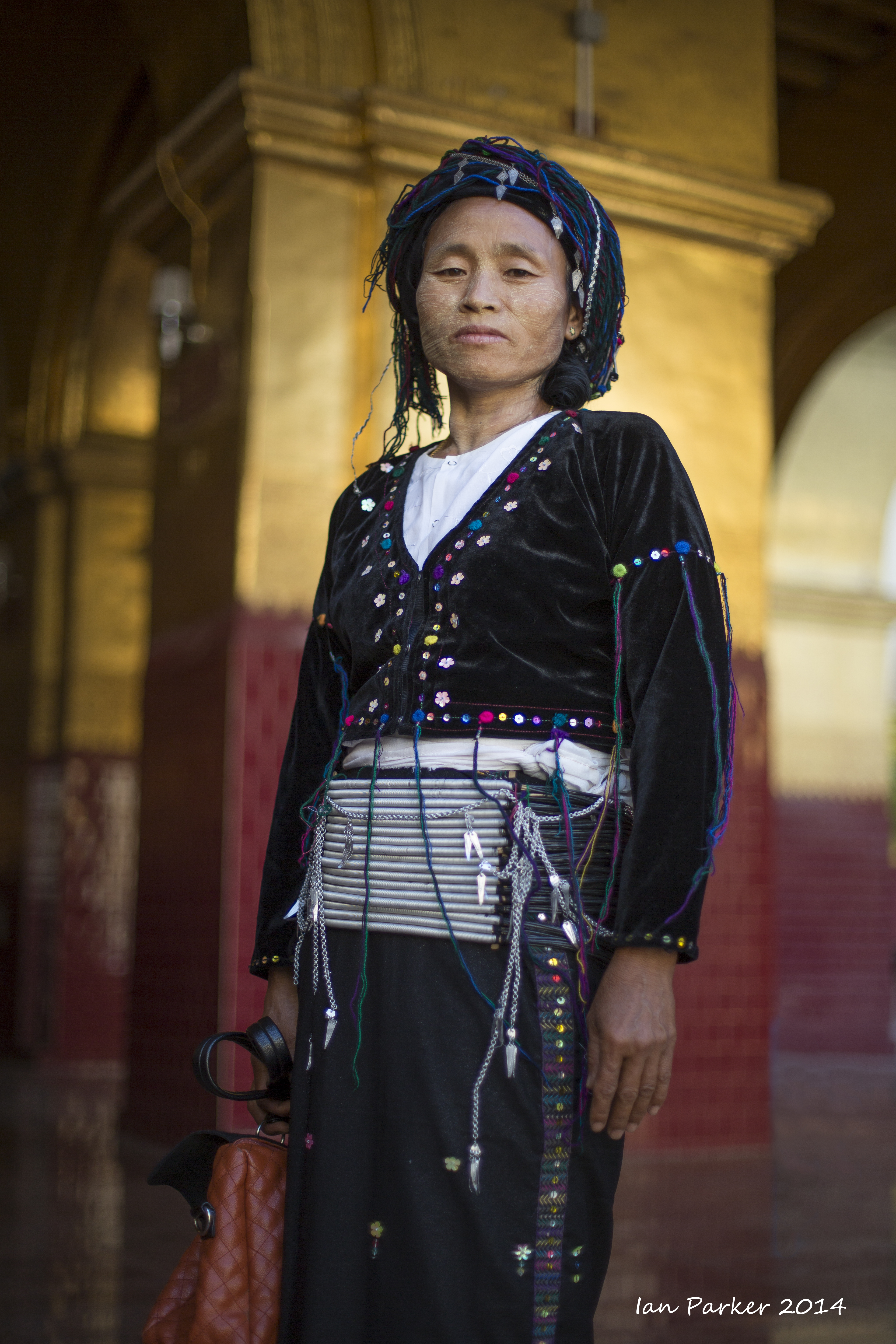
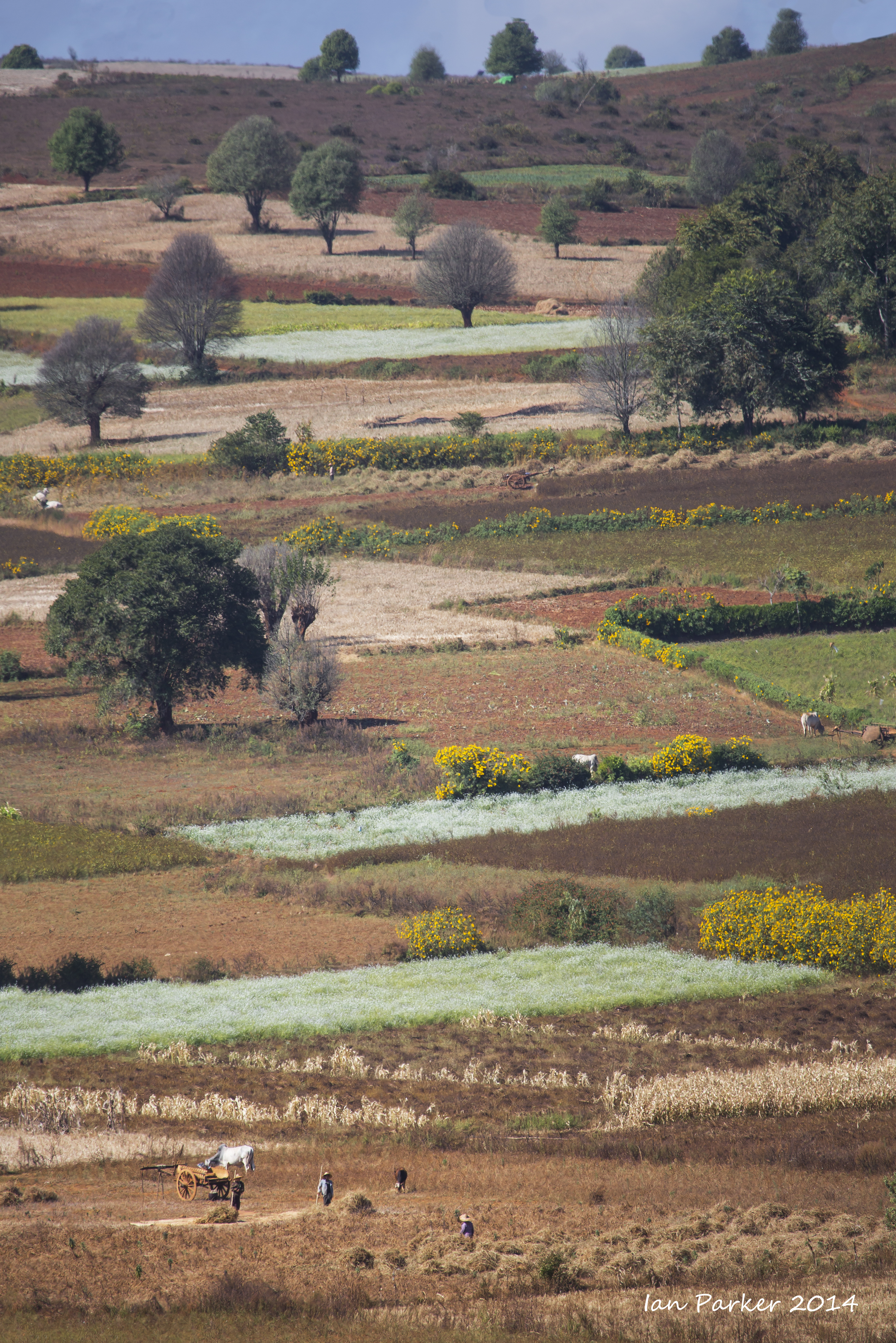
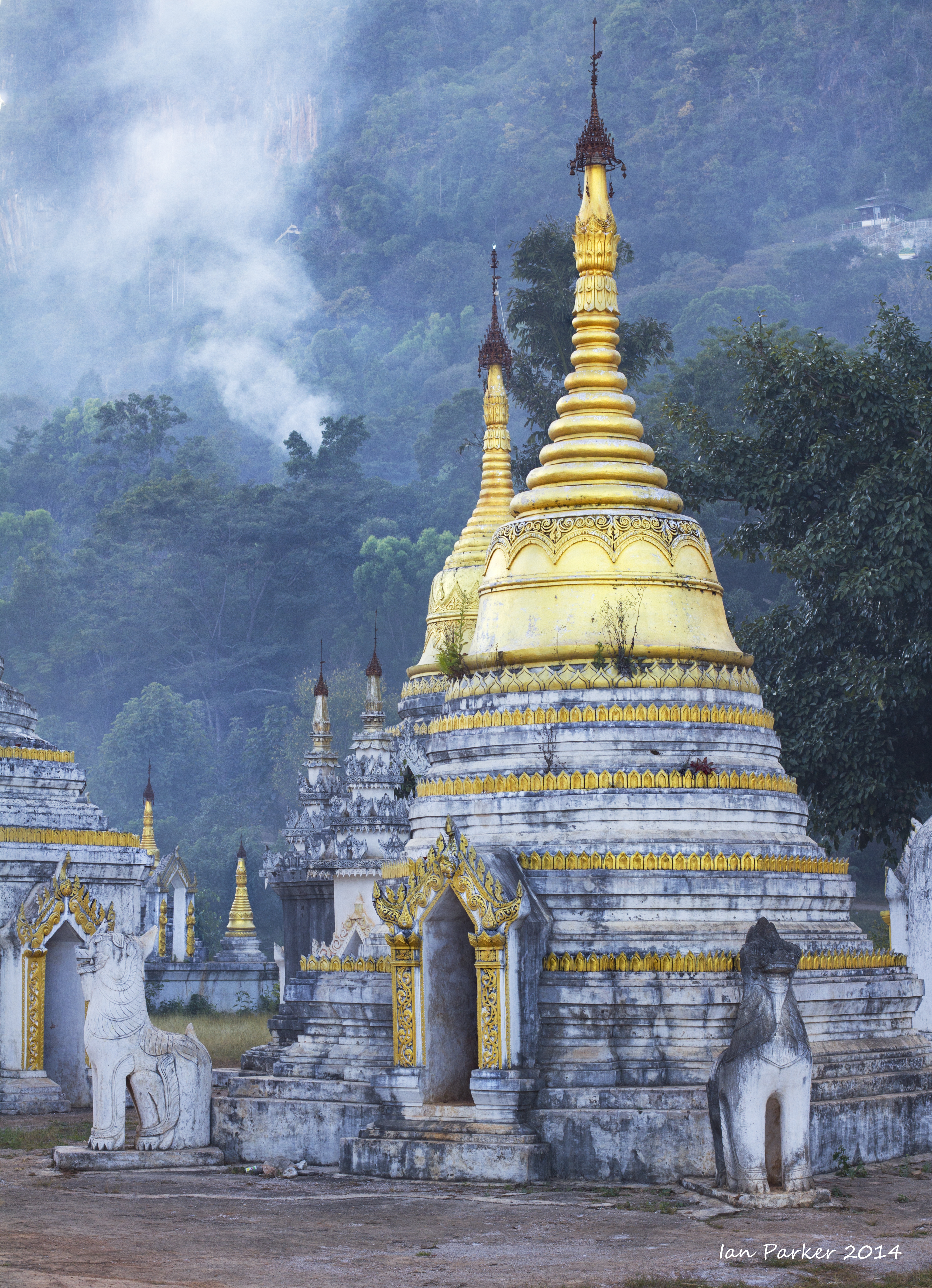
Dec 11,12 : Maymyo hill country and Pyin Oo Lwin
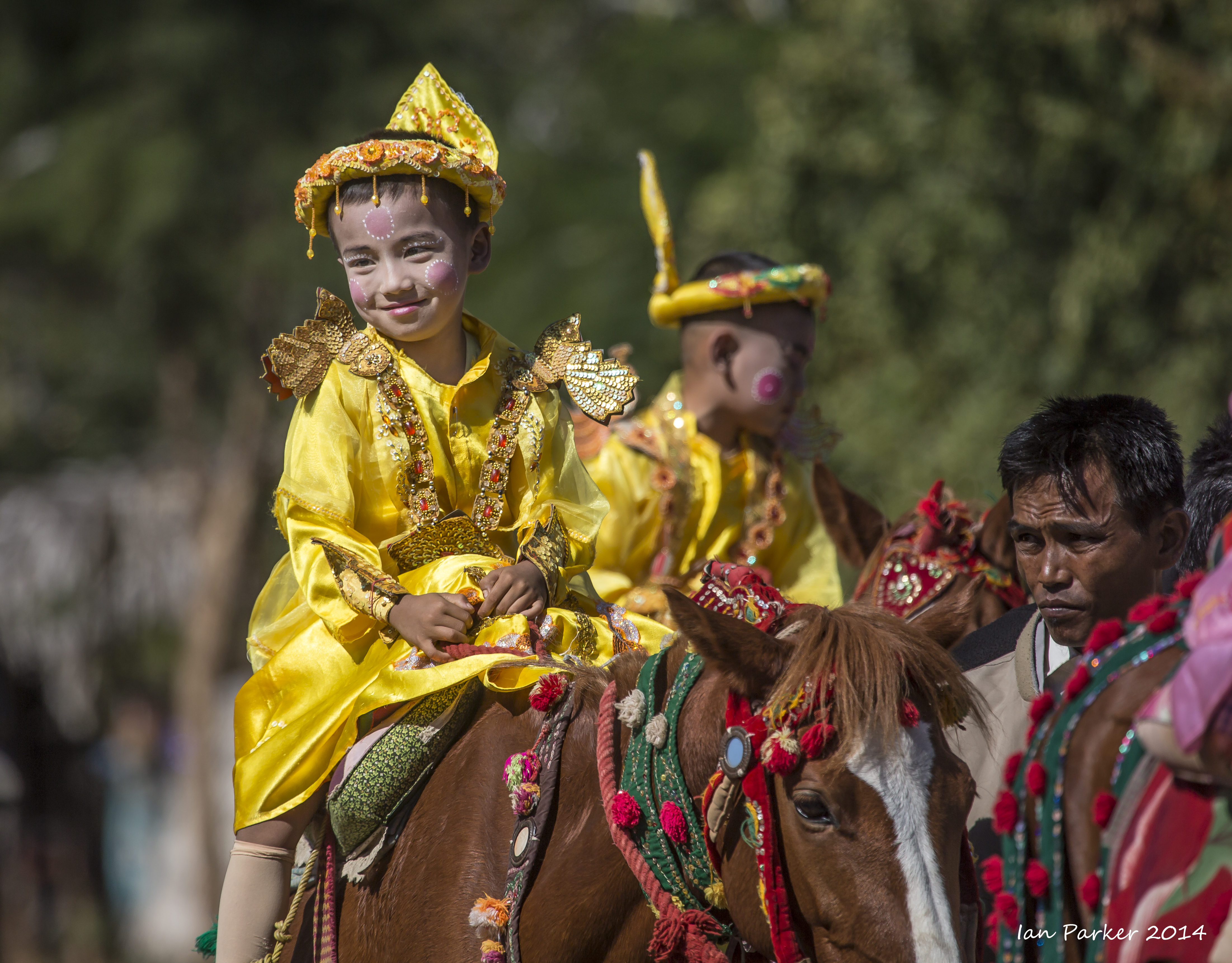
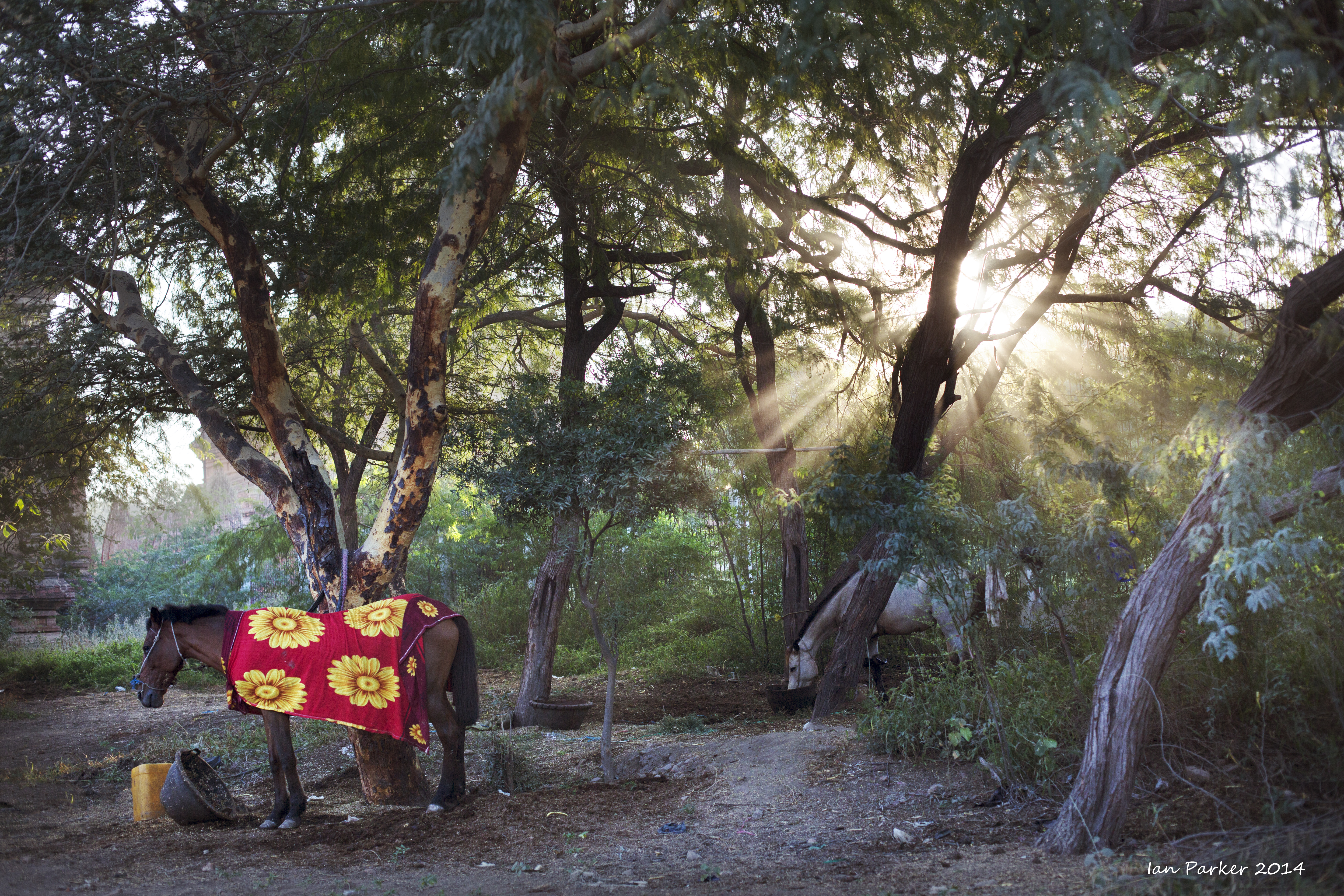
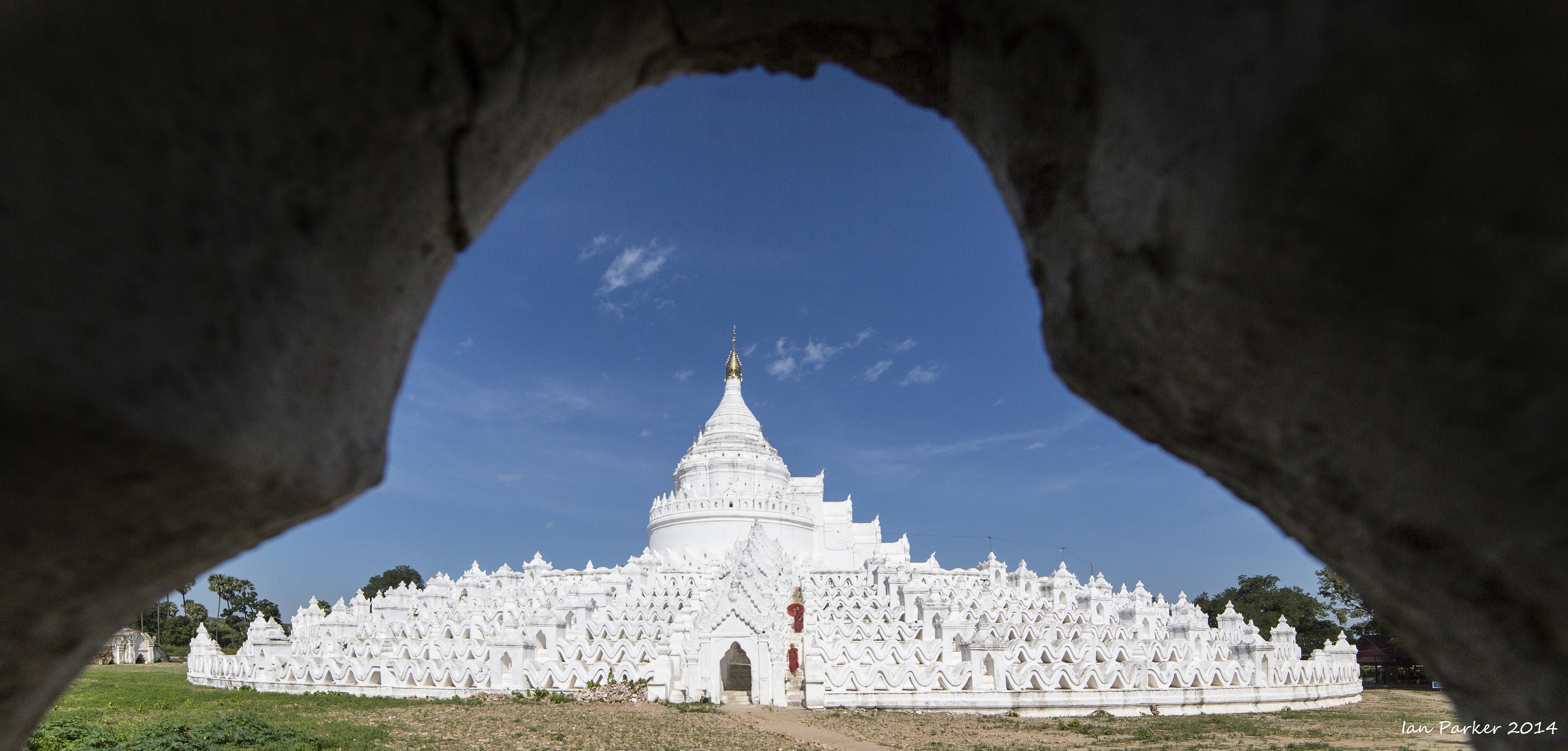
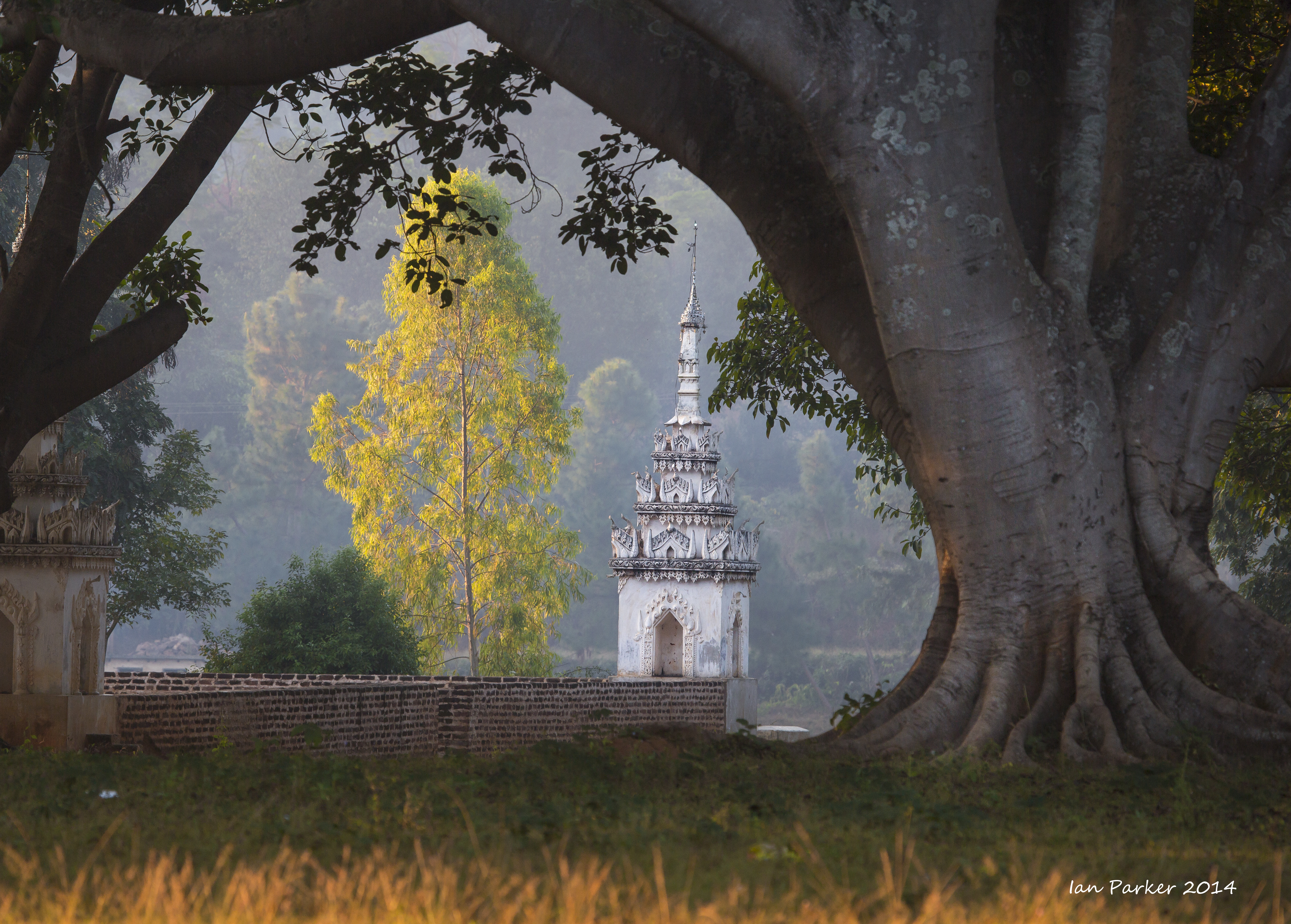
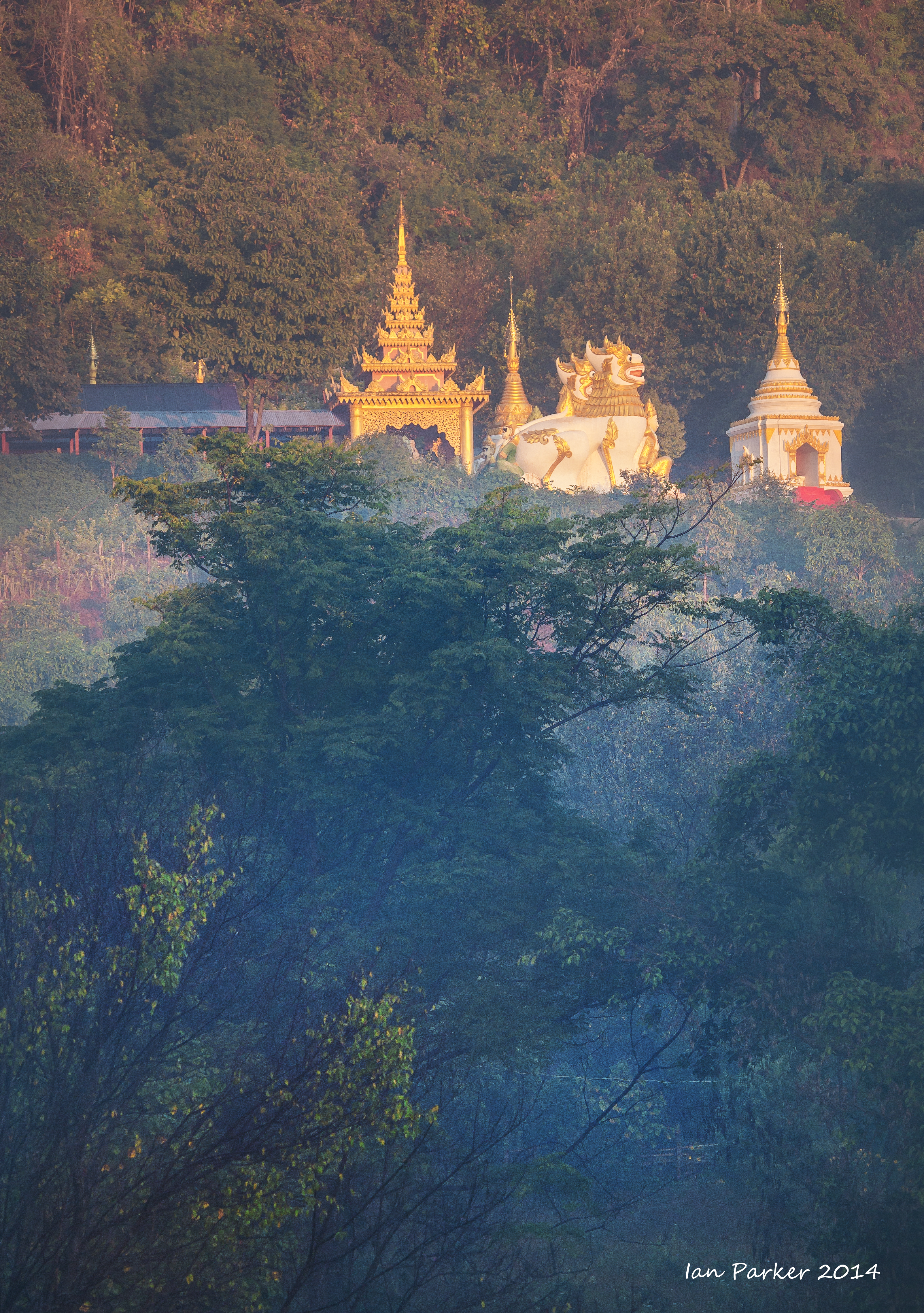
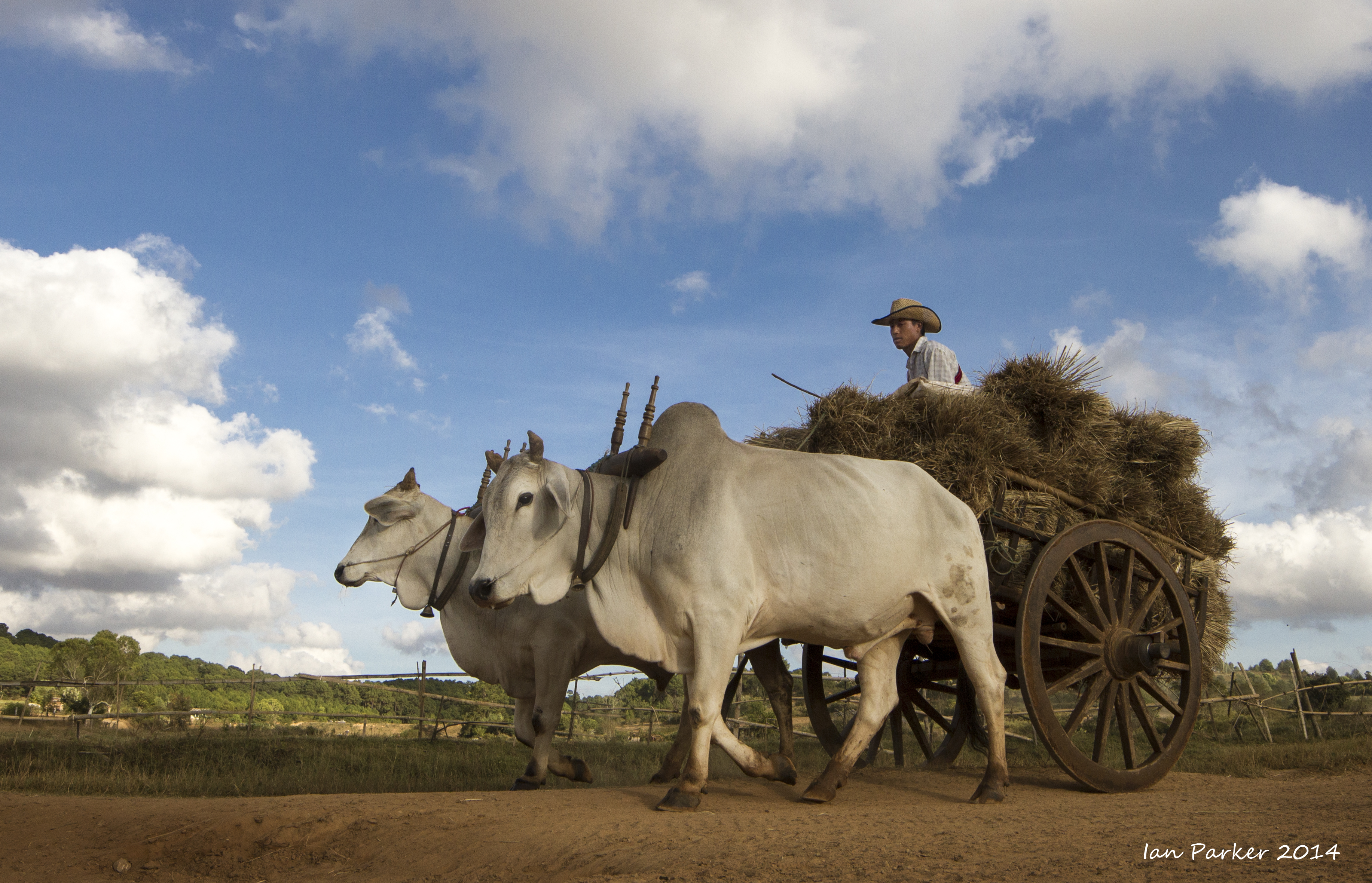
Burma, Dec 10 ; Amarapura and Inwa
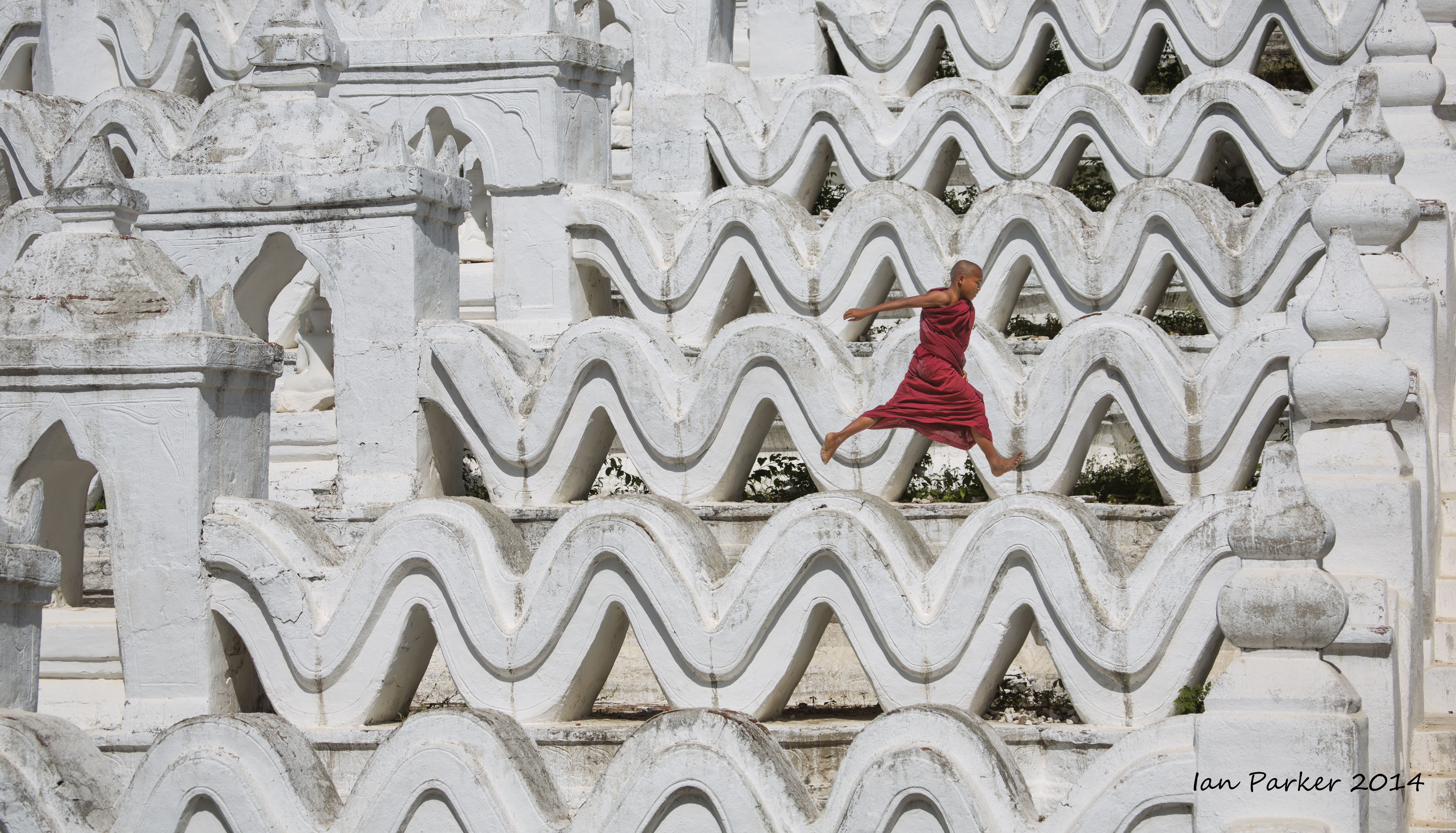
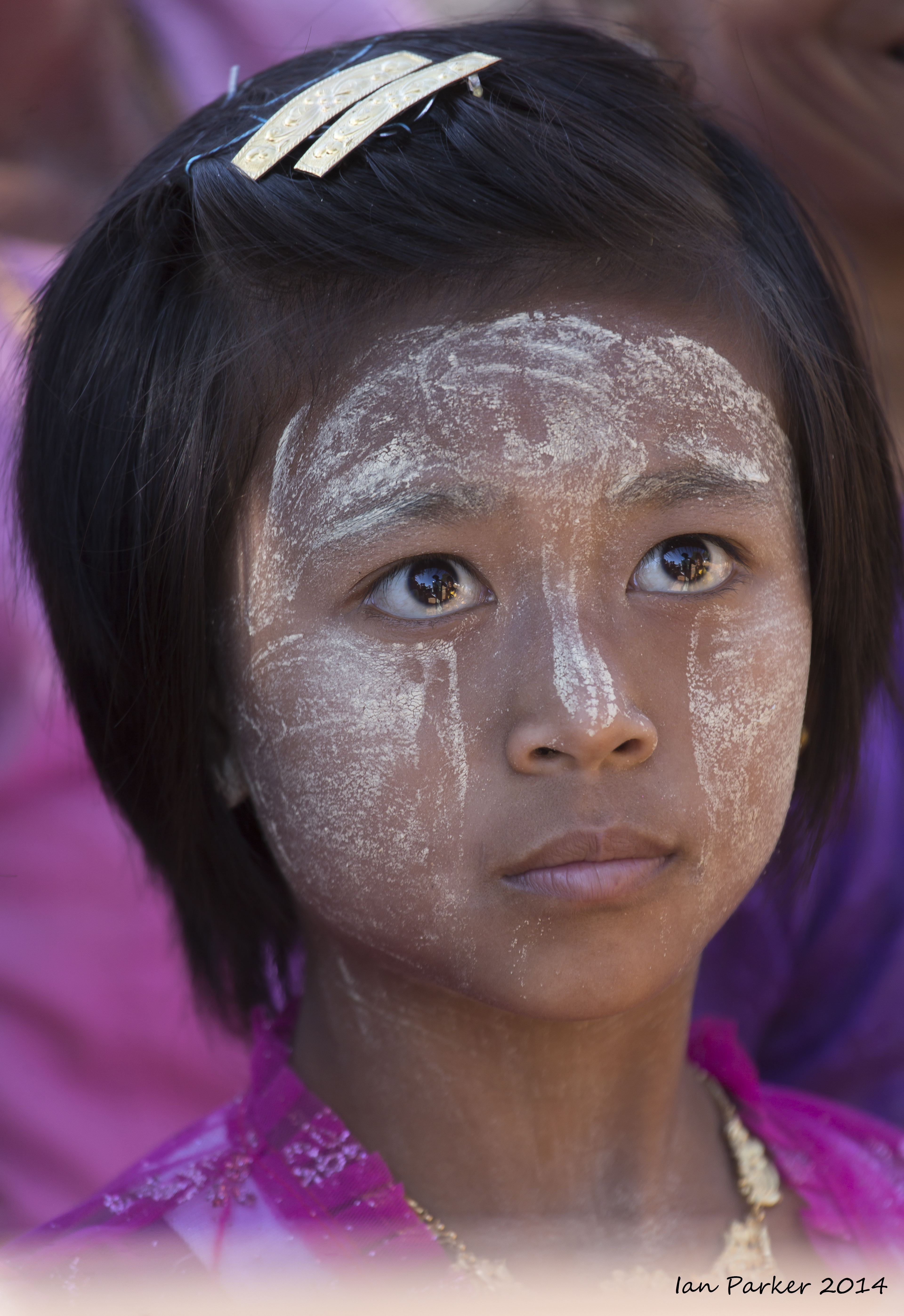
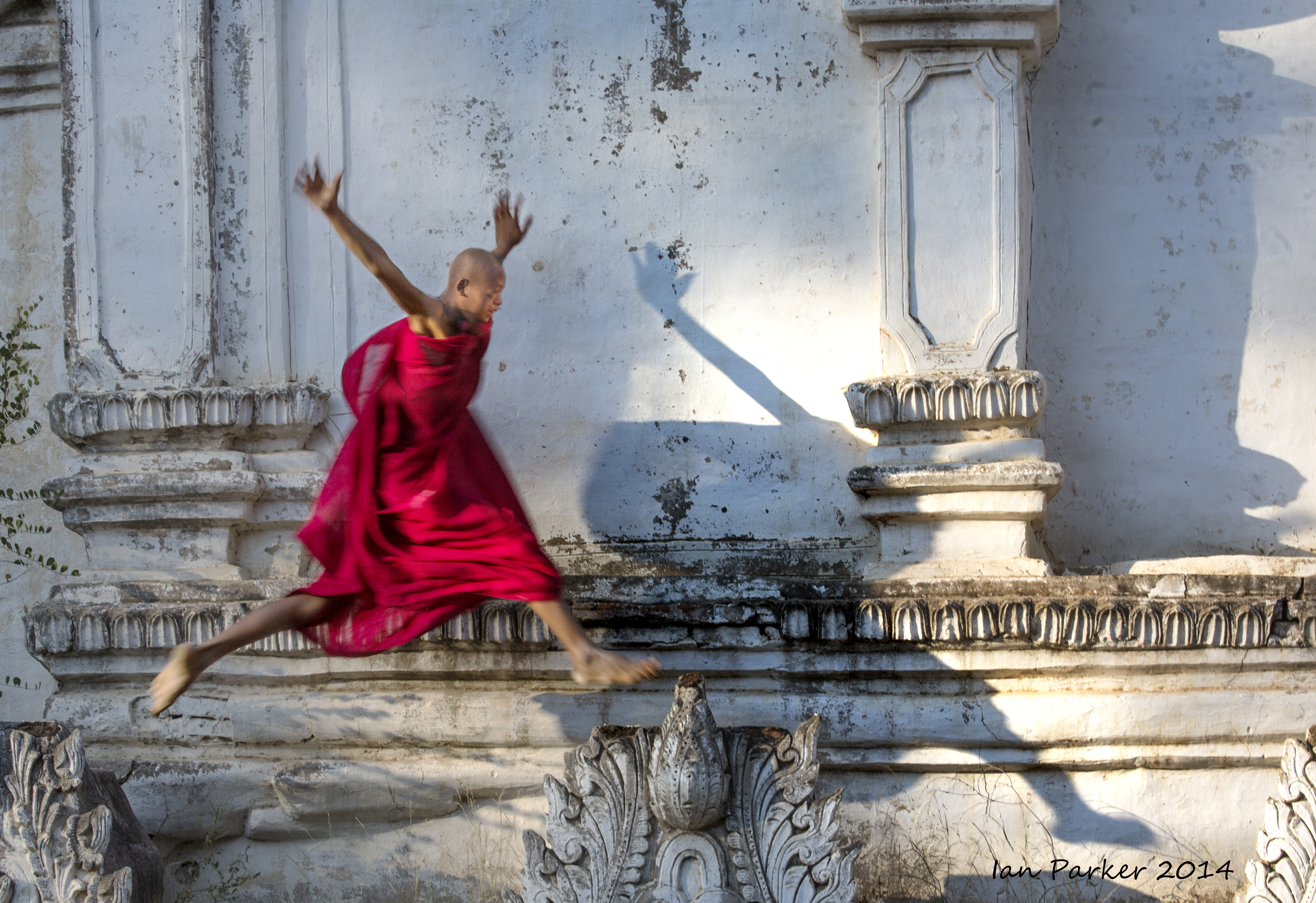
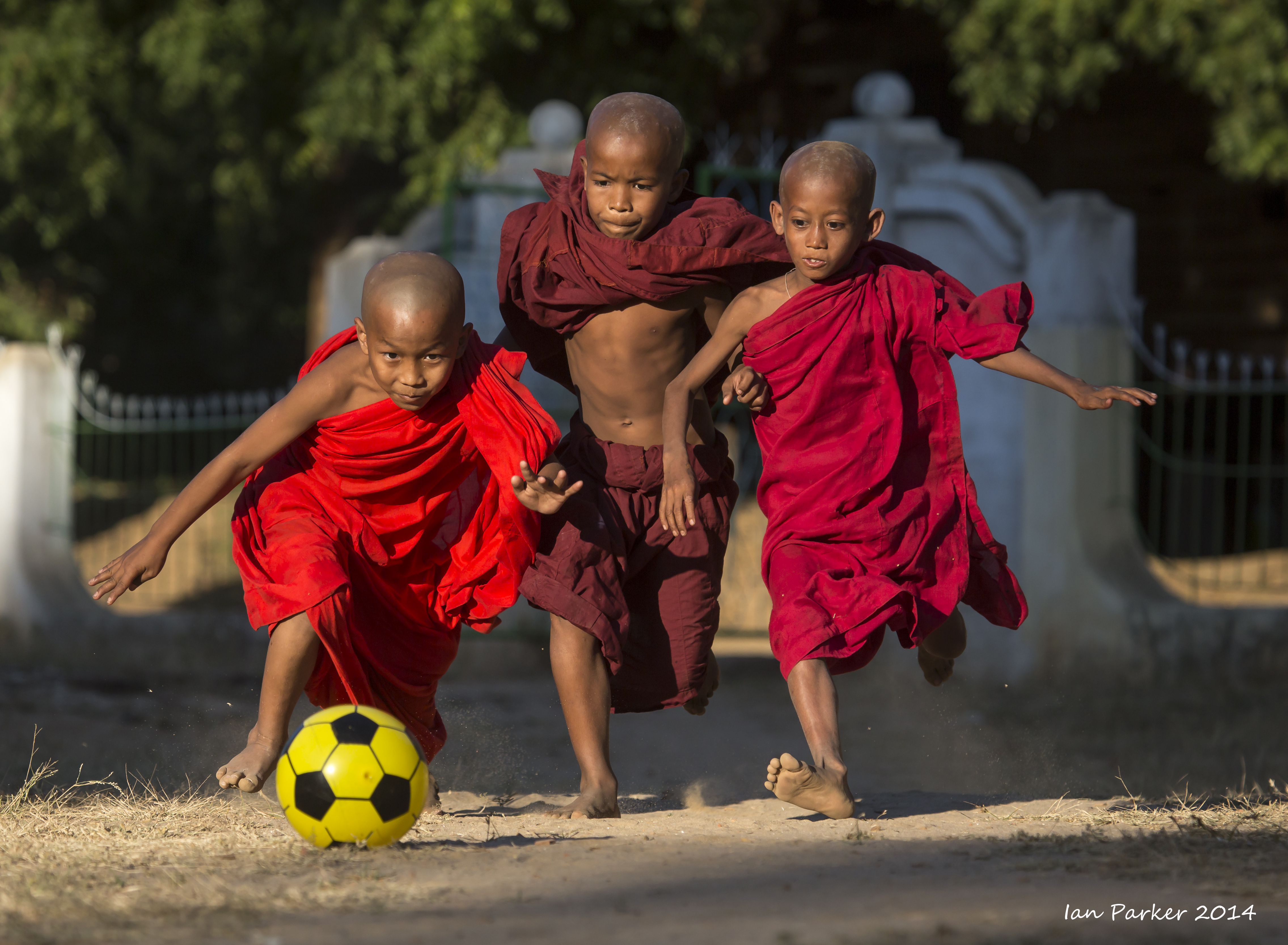
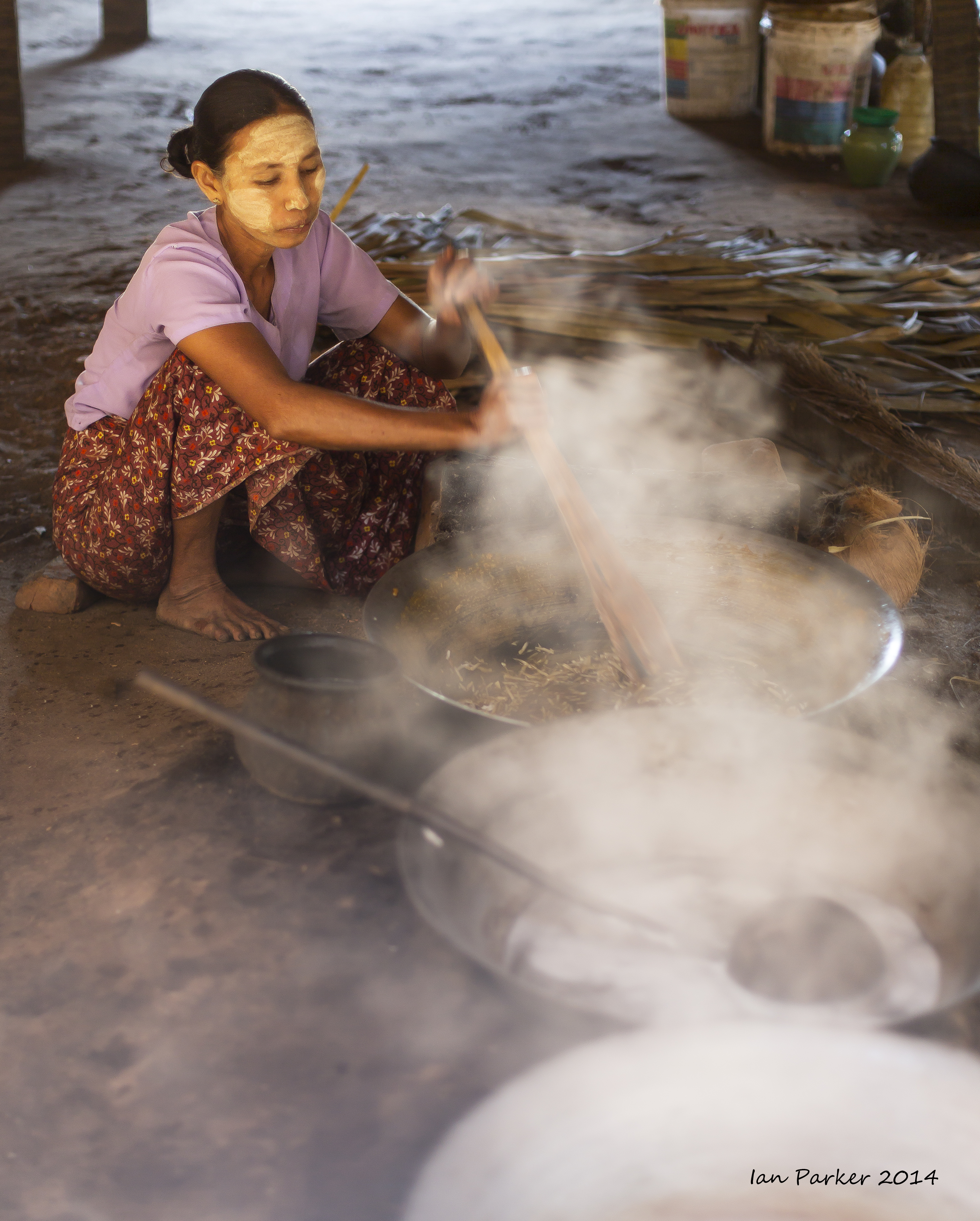
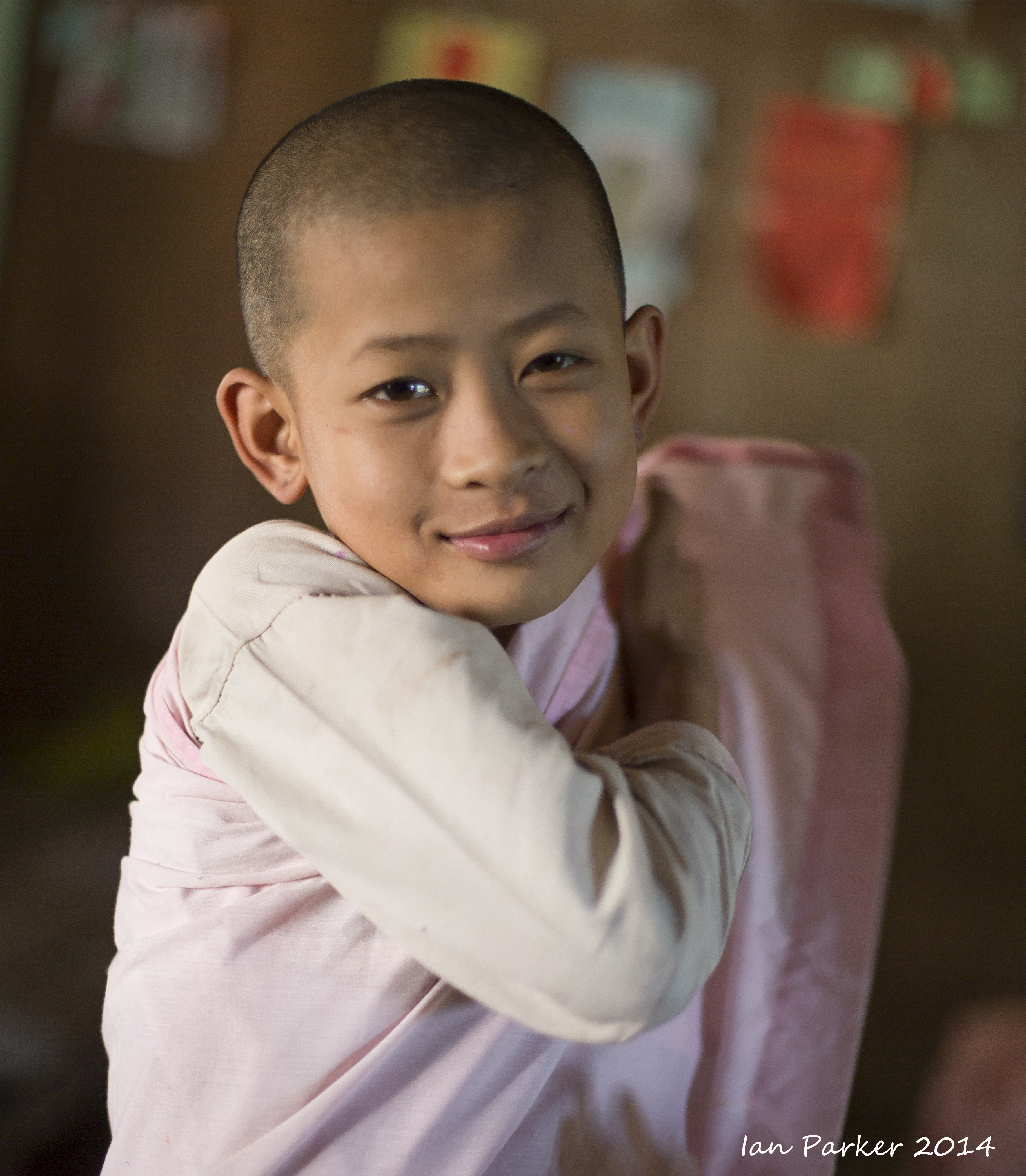
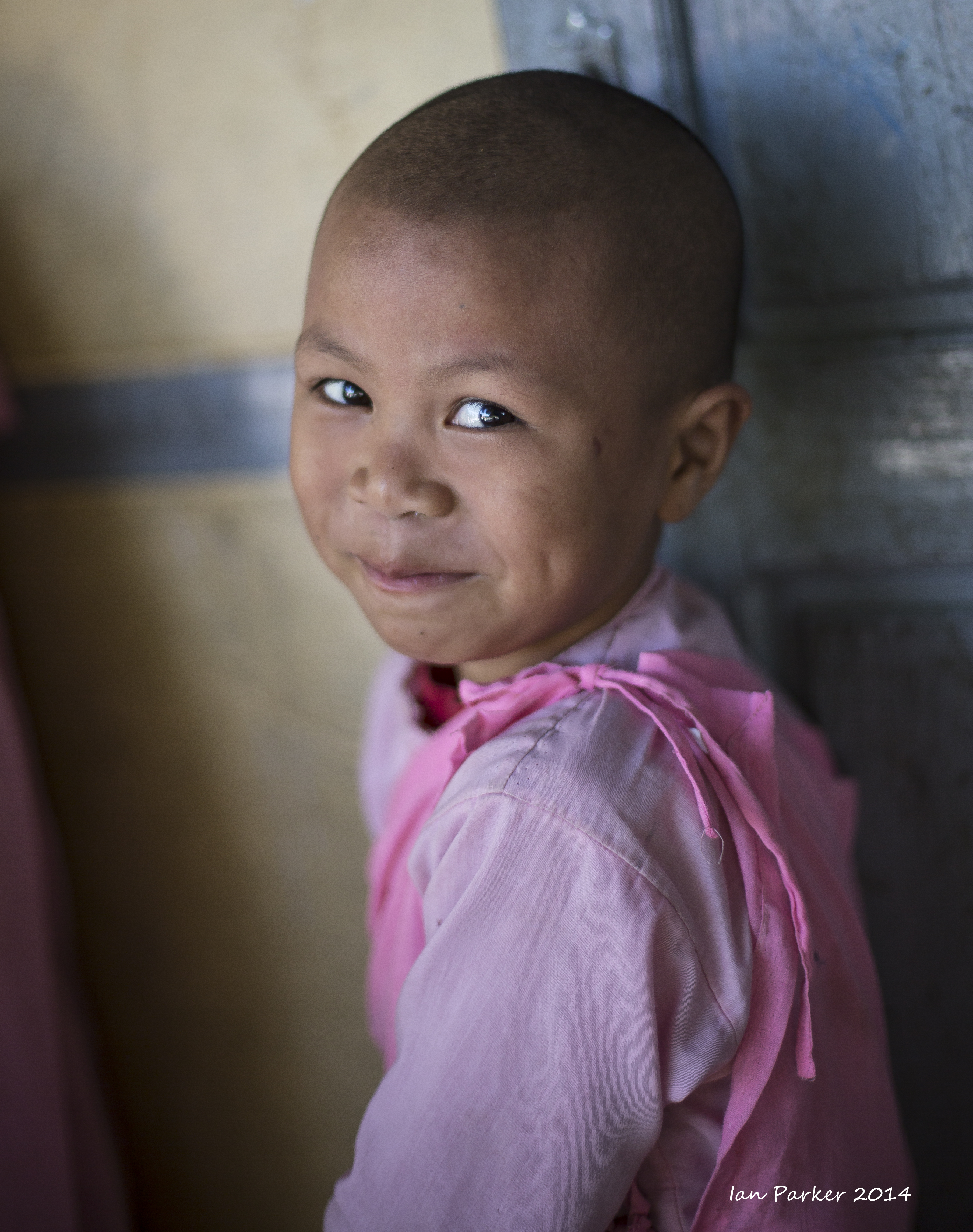
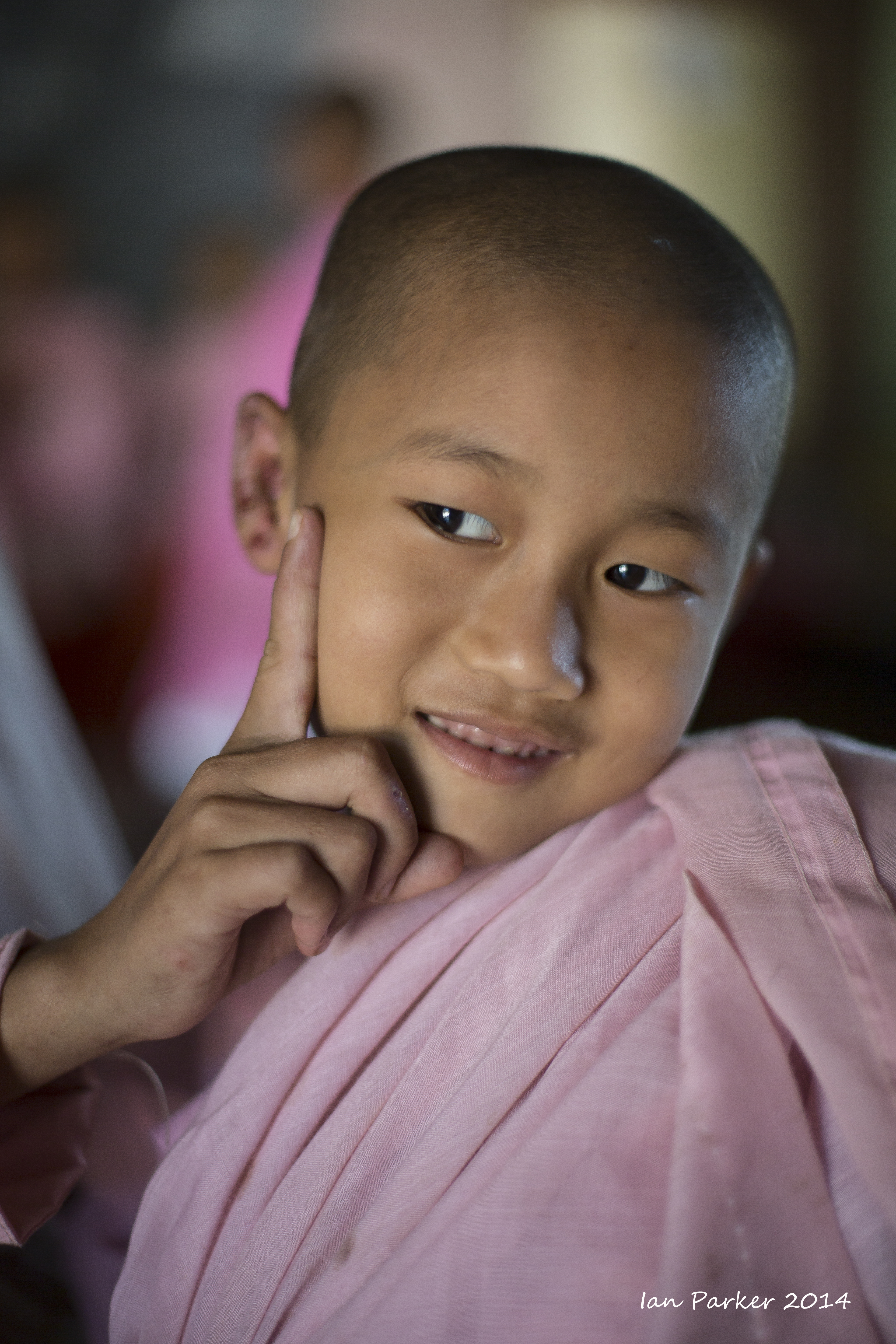
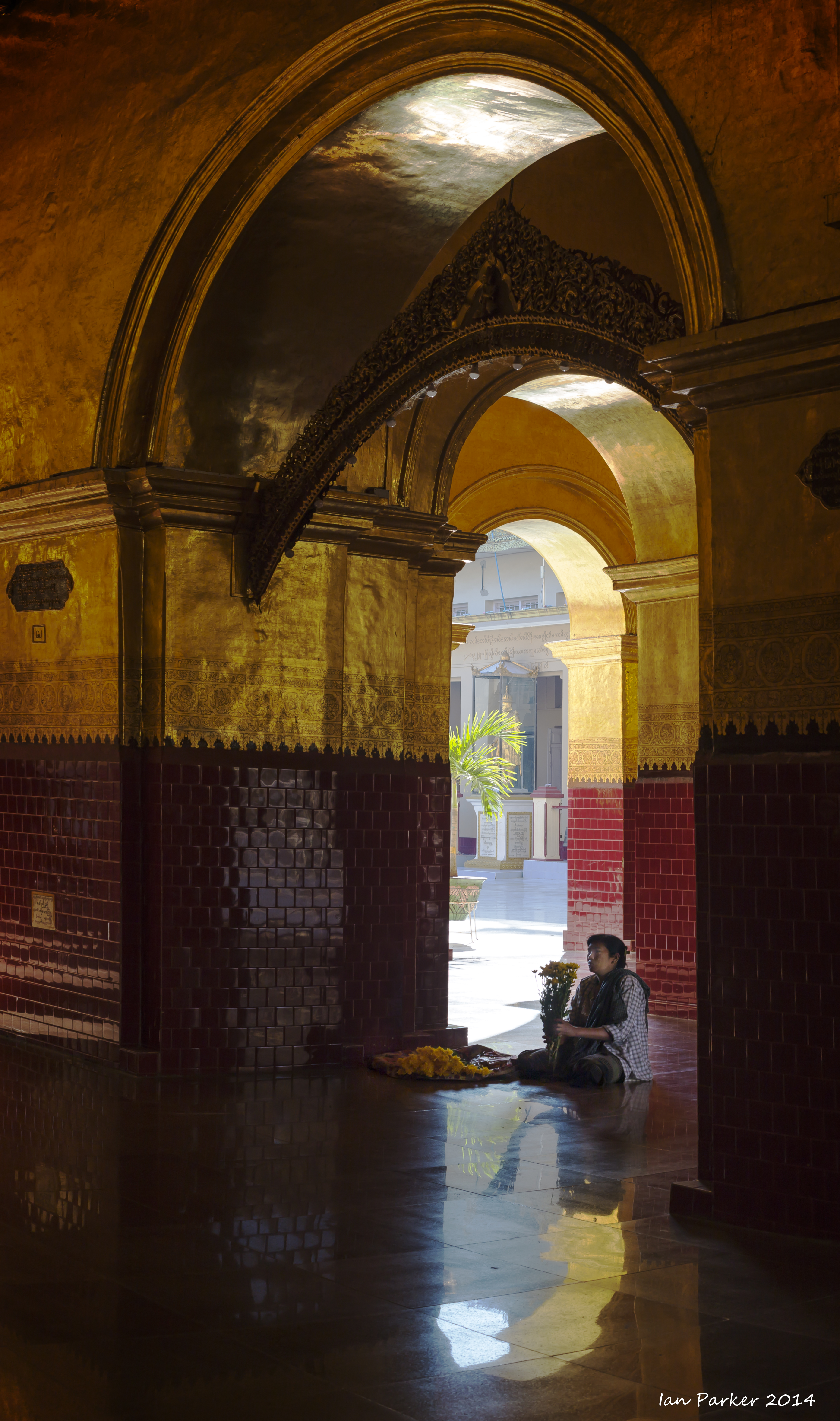
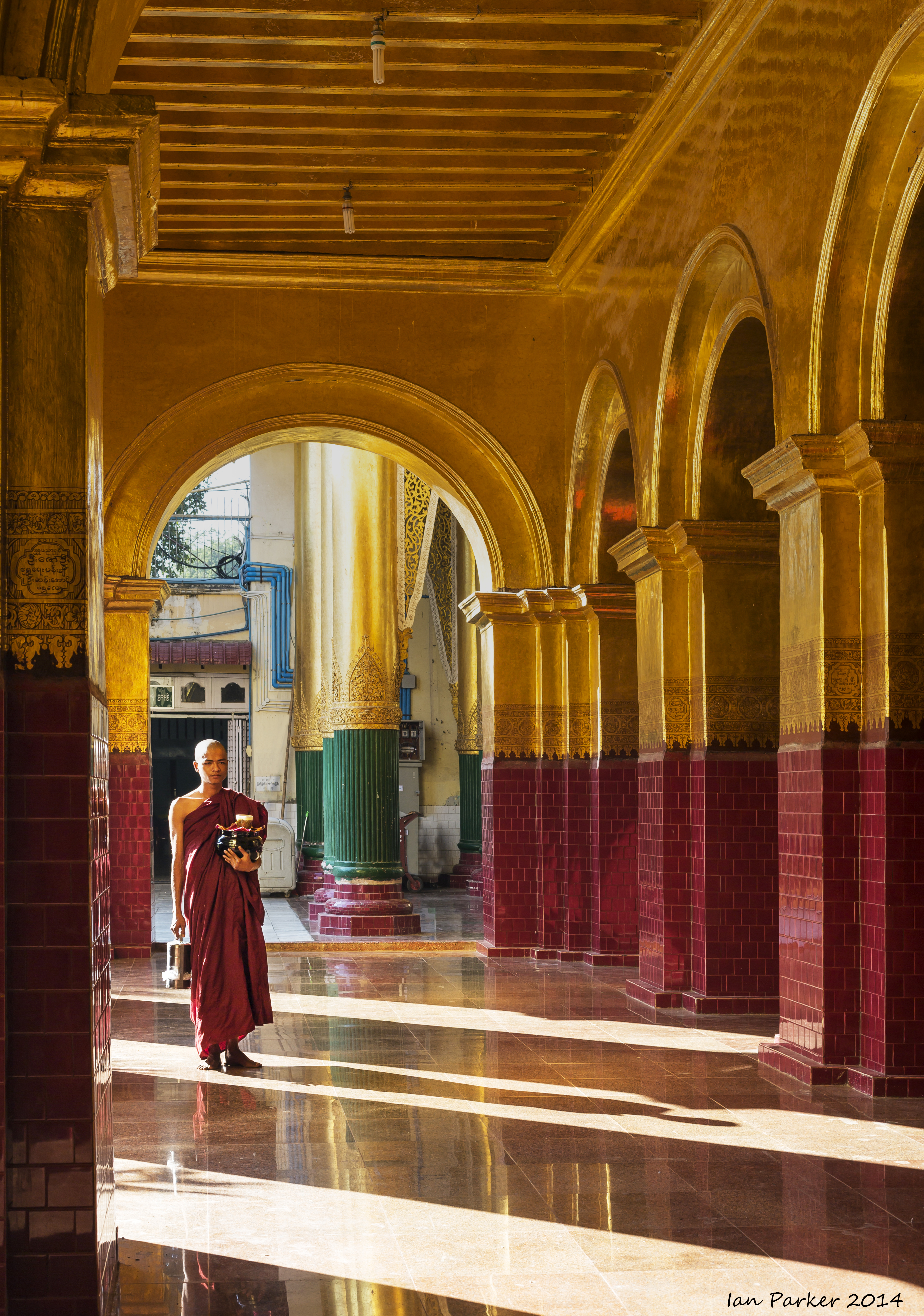
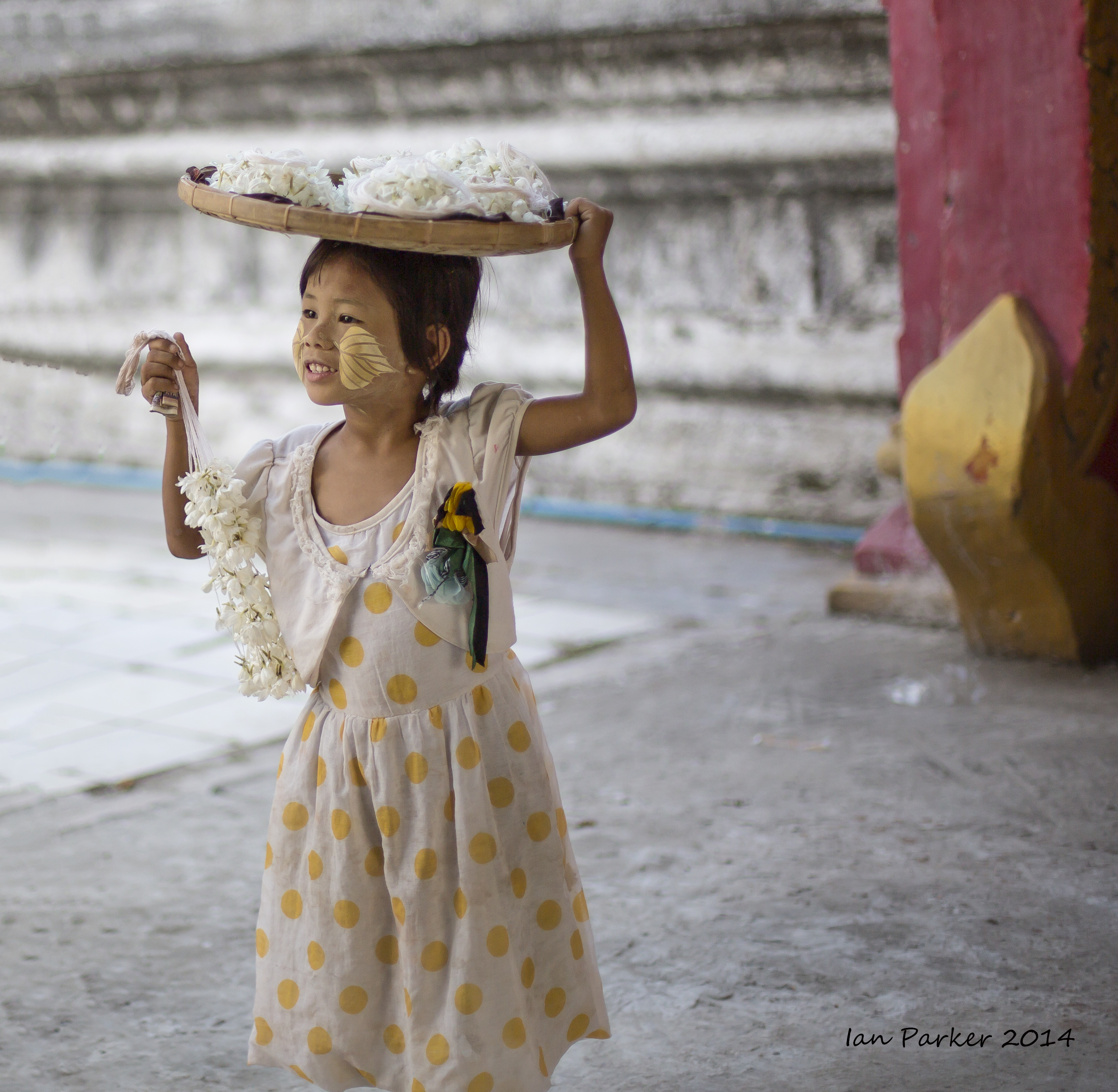
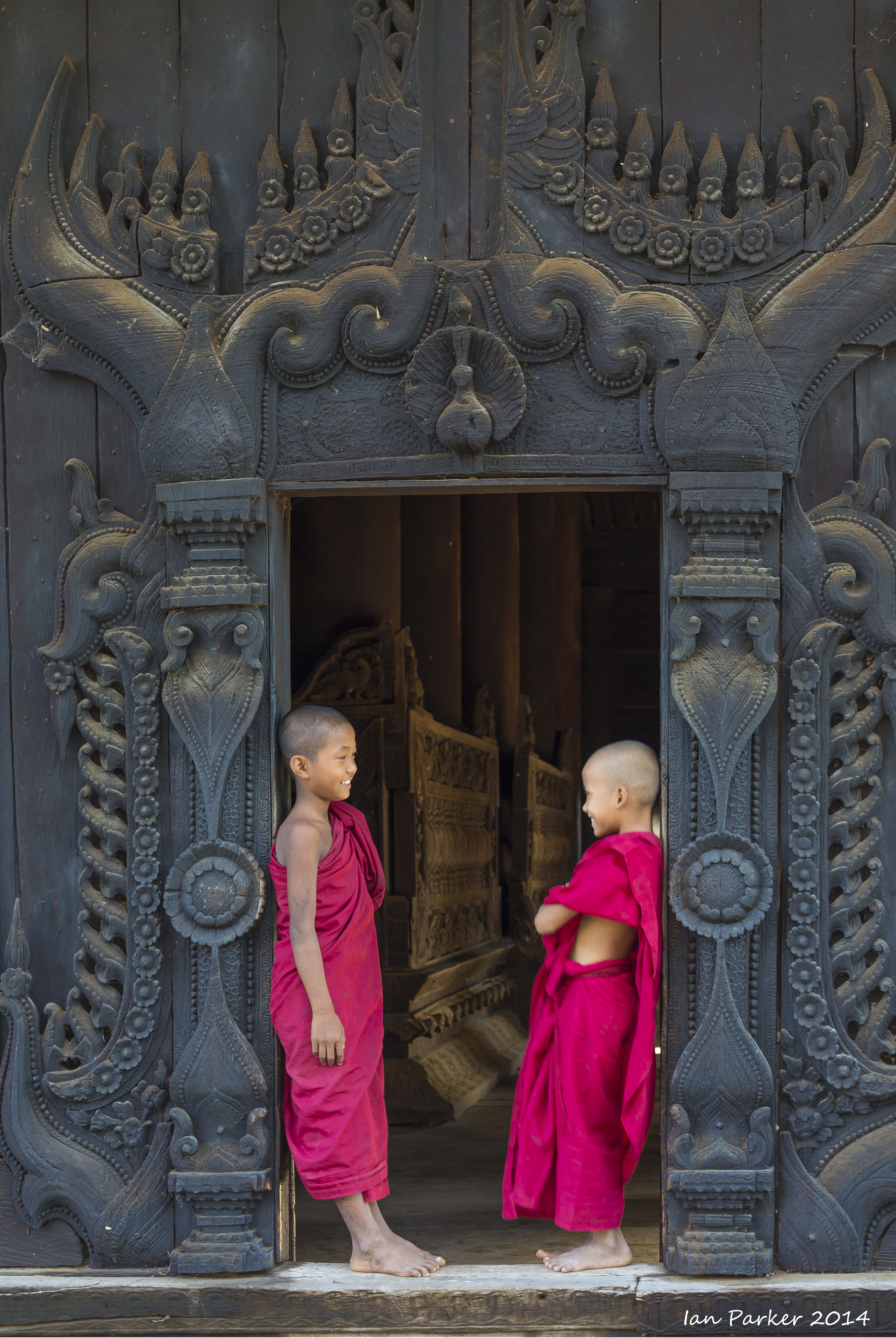
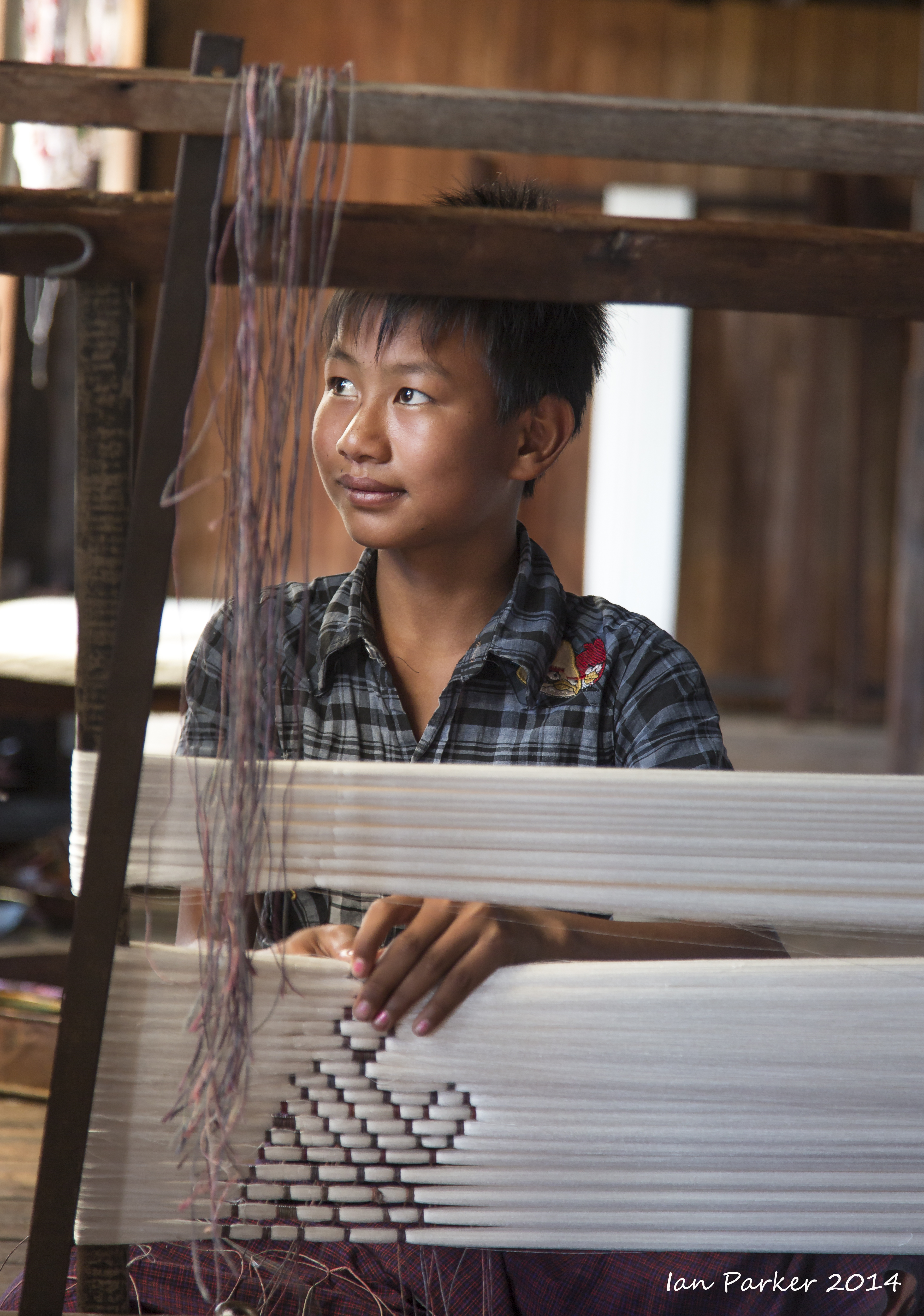
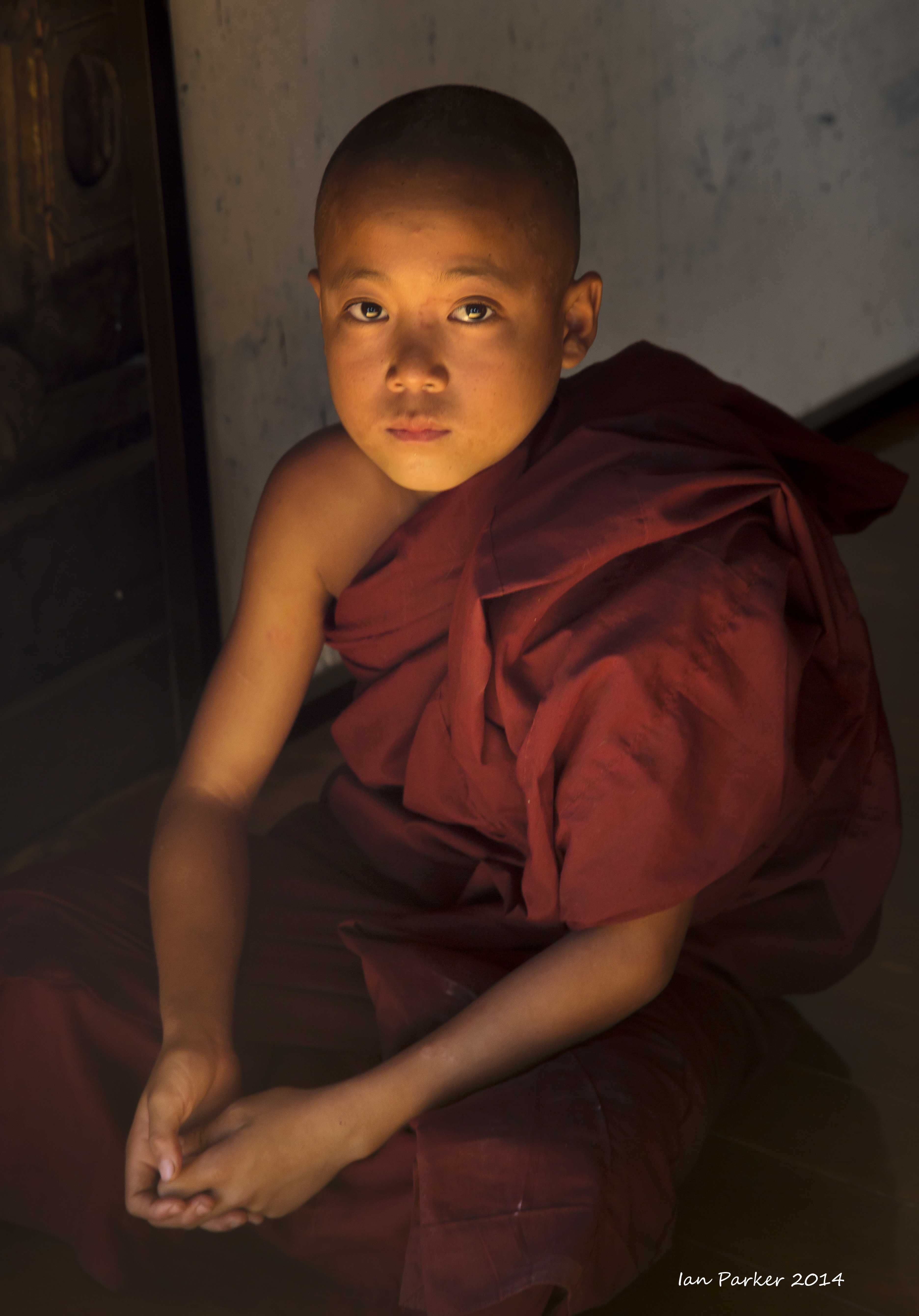
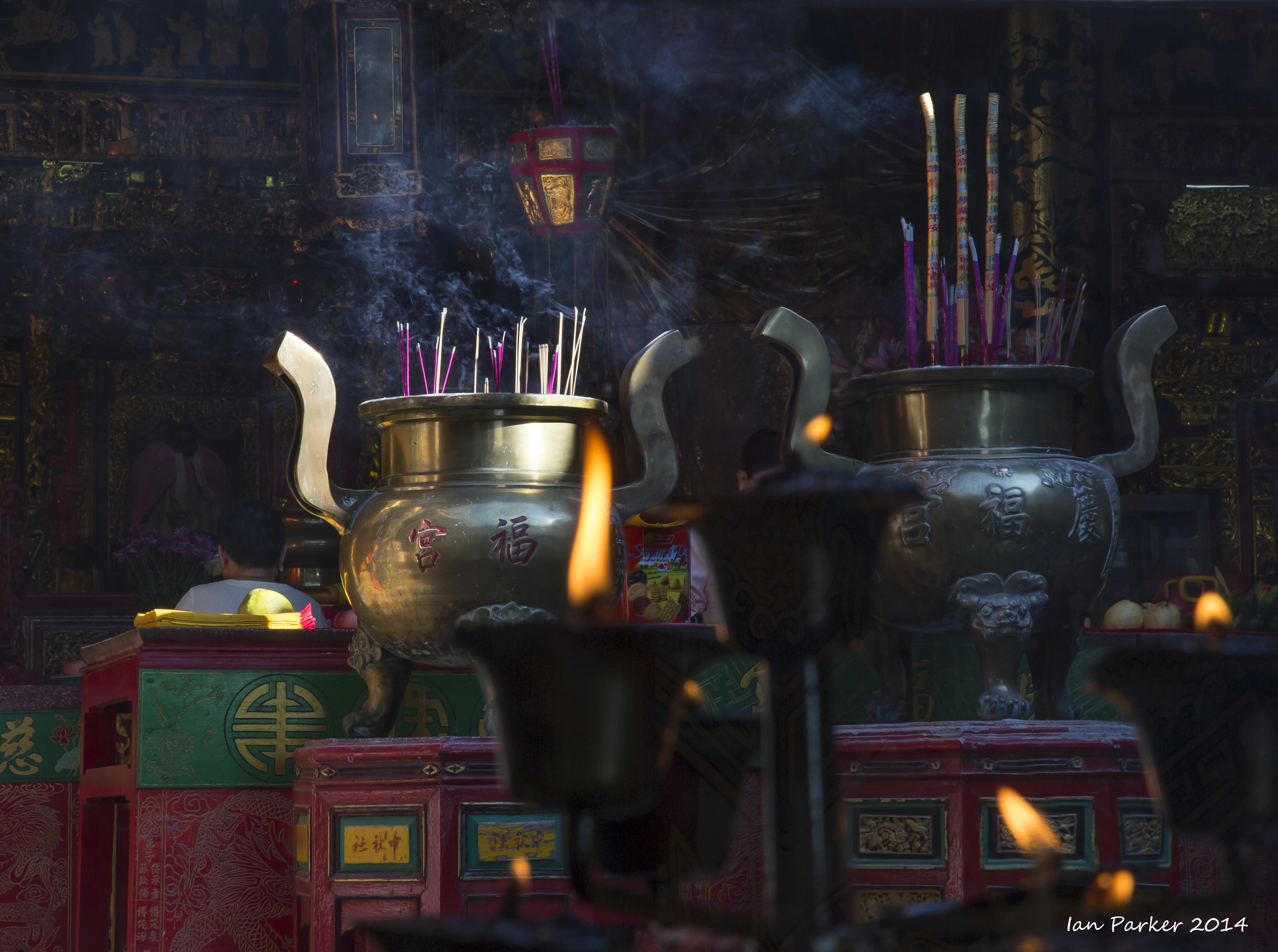
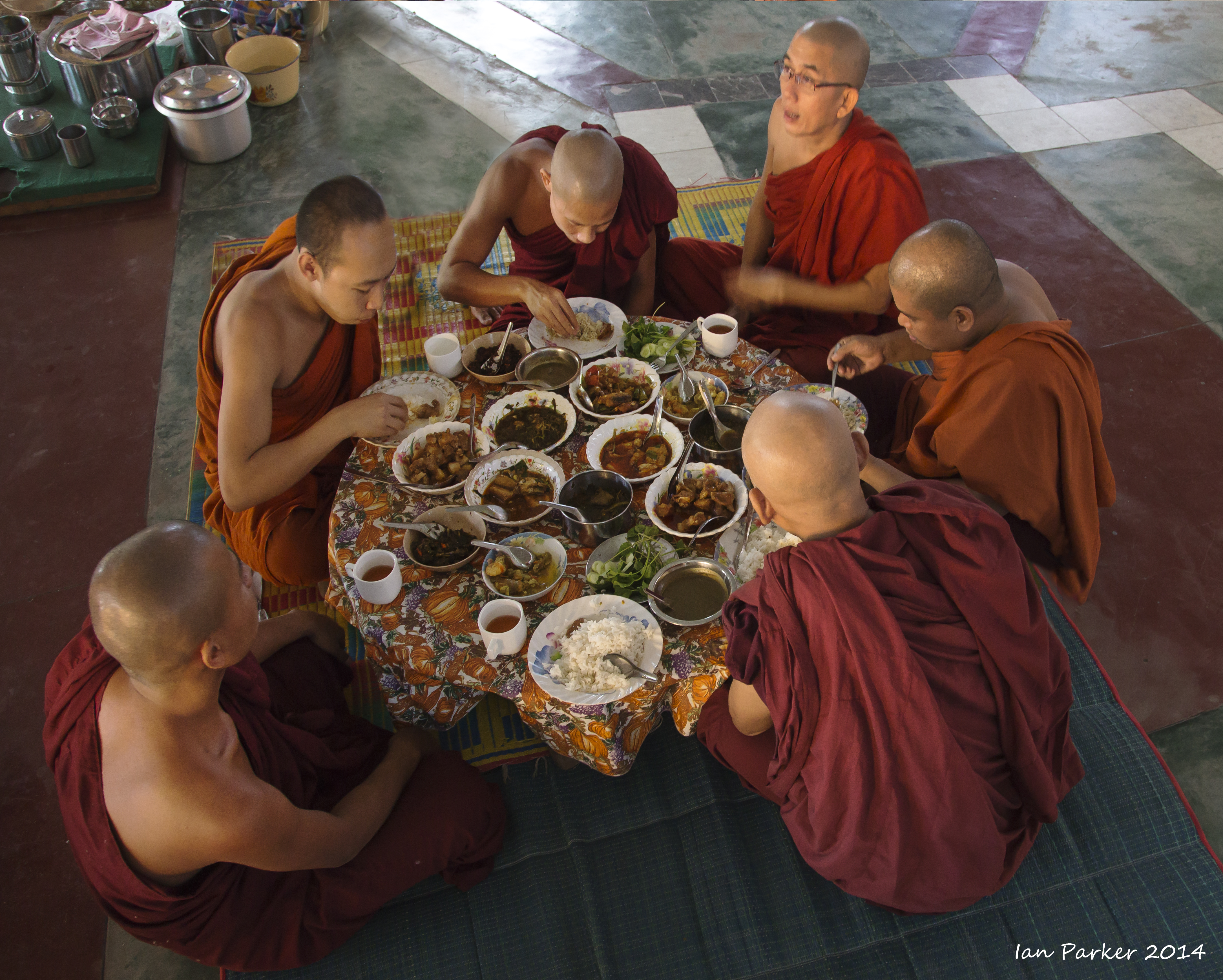
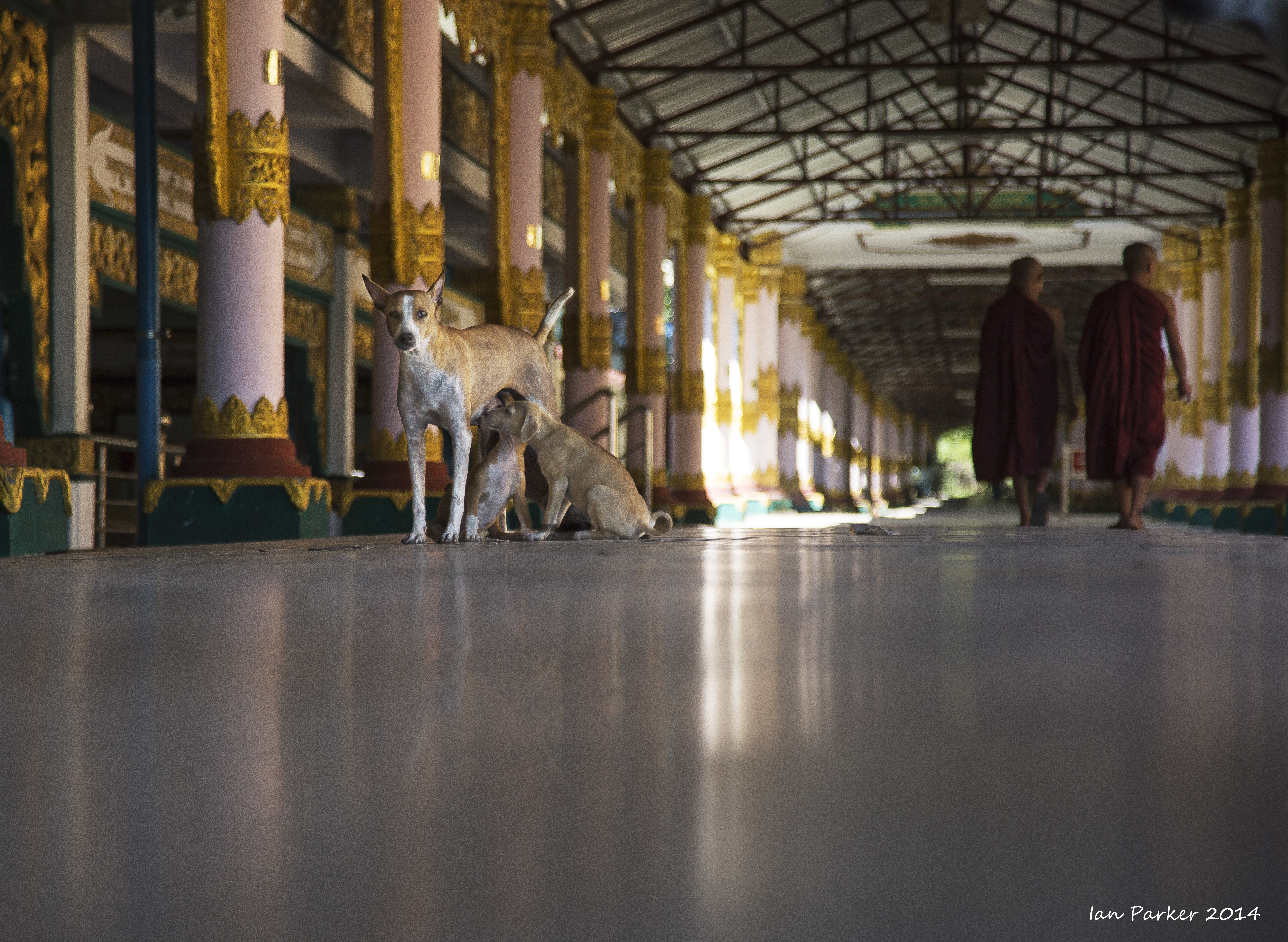
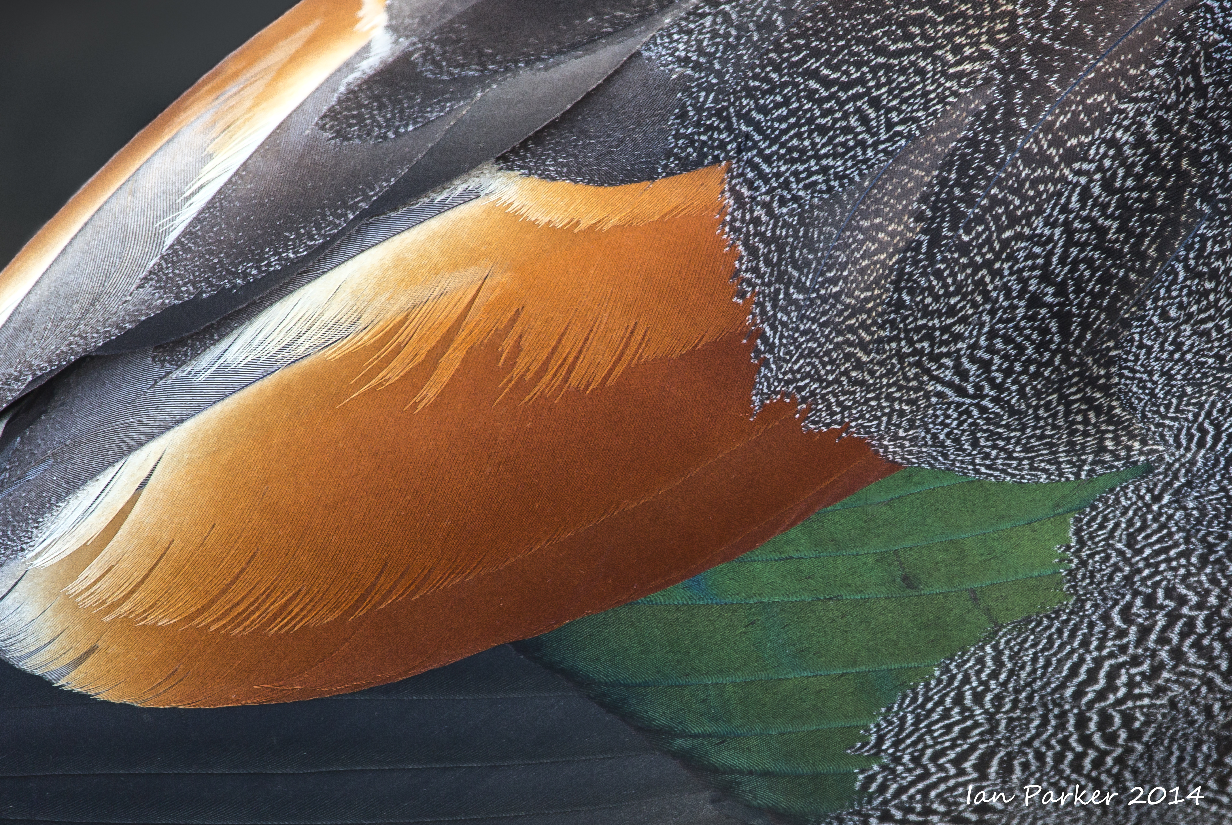
Monastic life
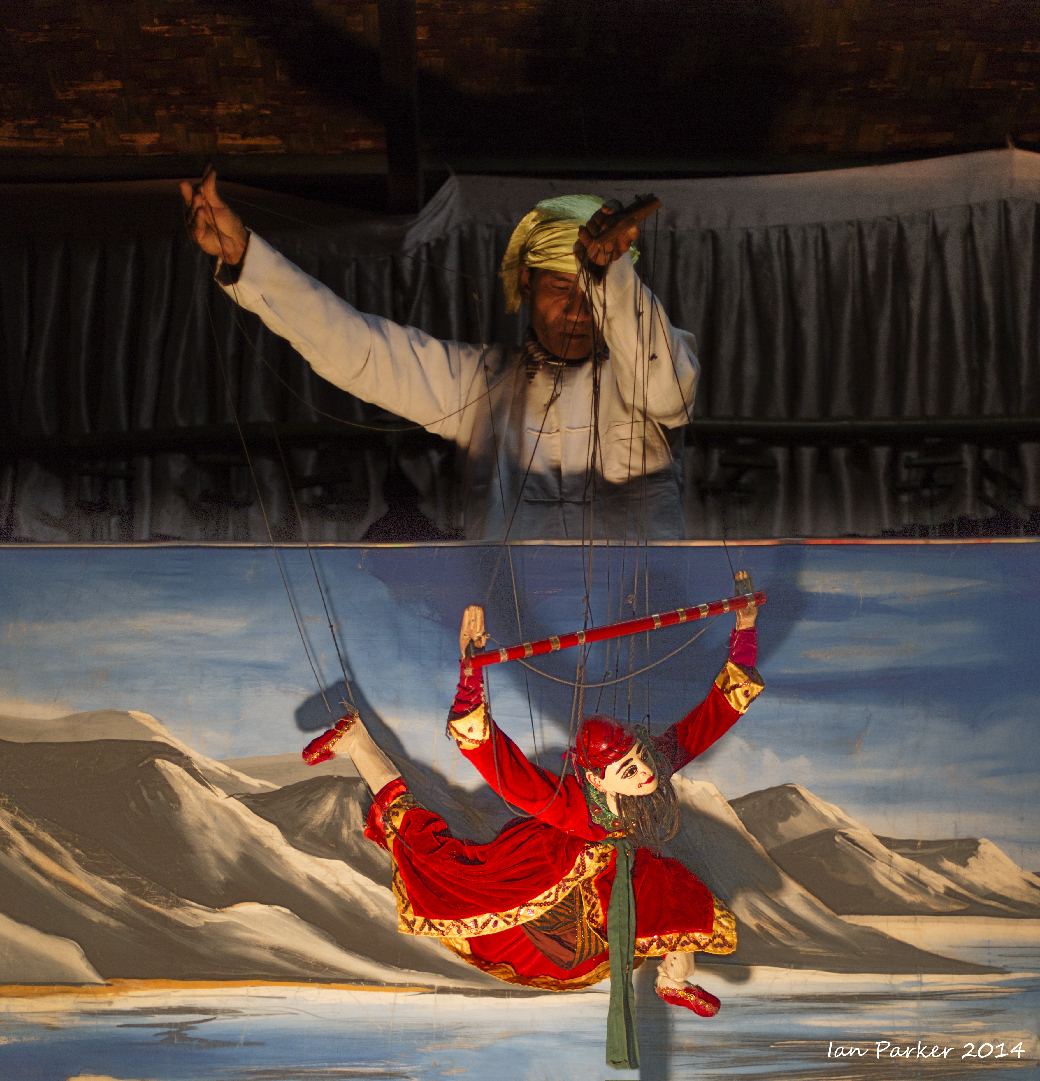
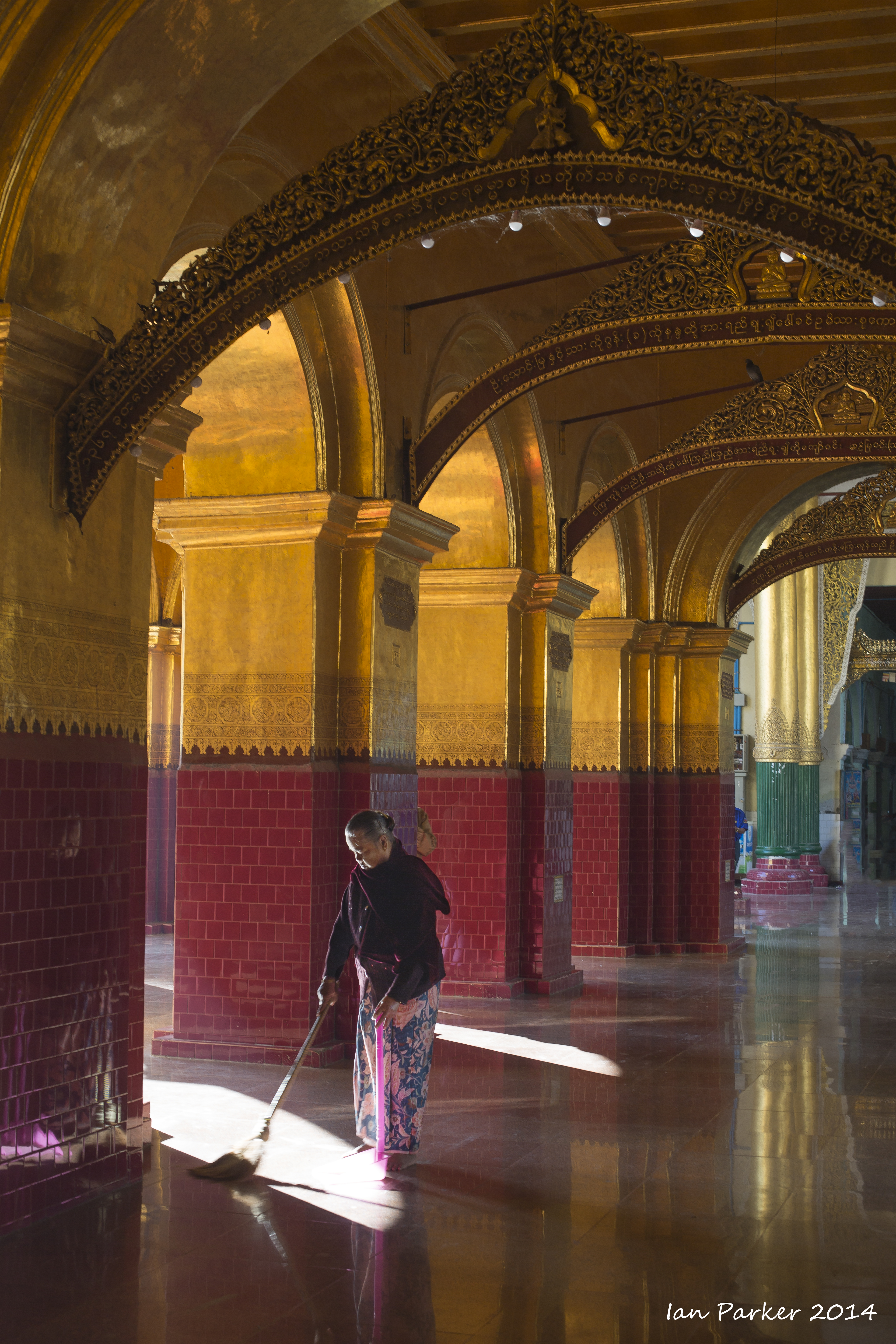
Burma, Dec 8,9 : Mandalay
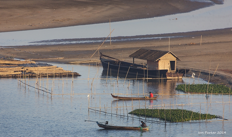
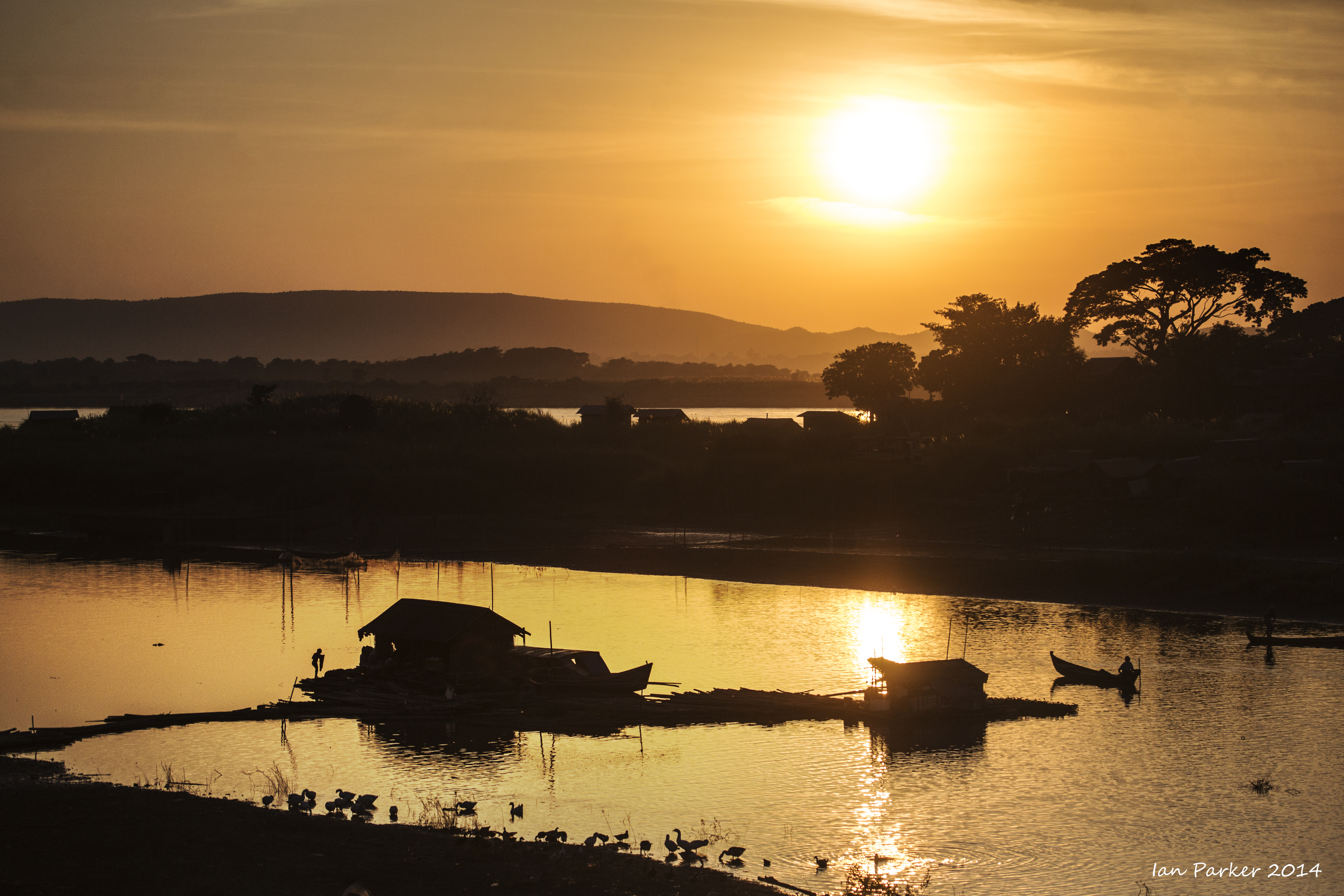
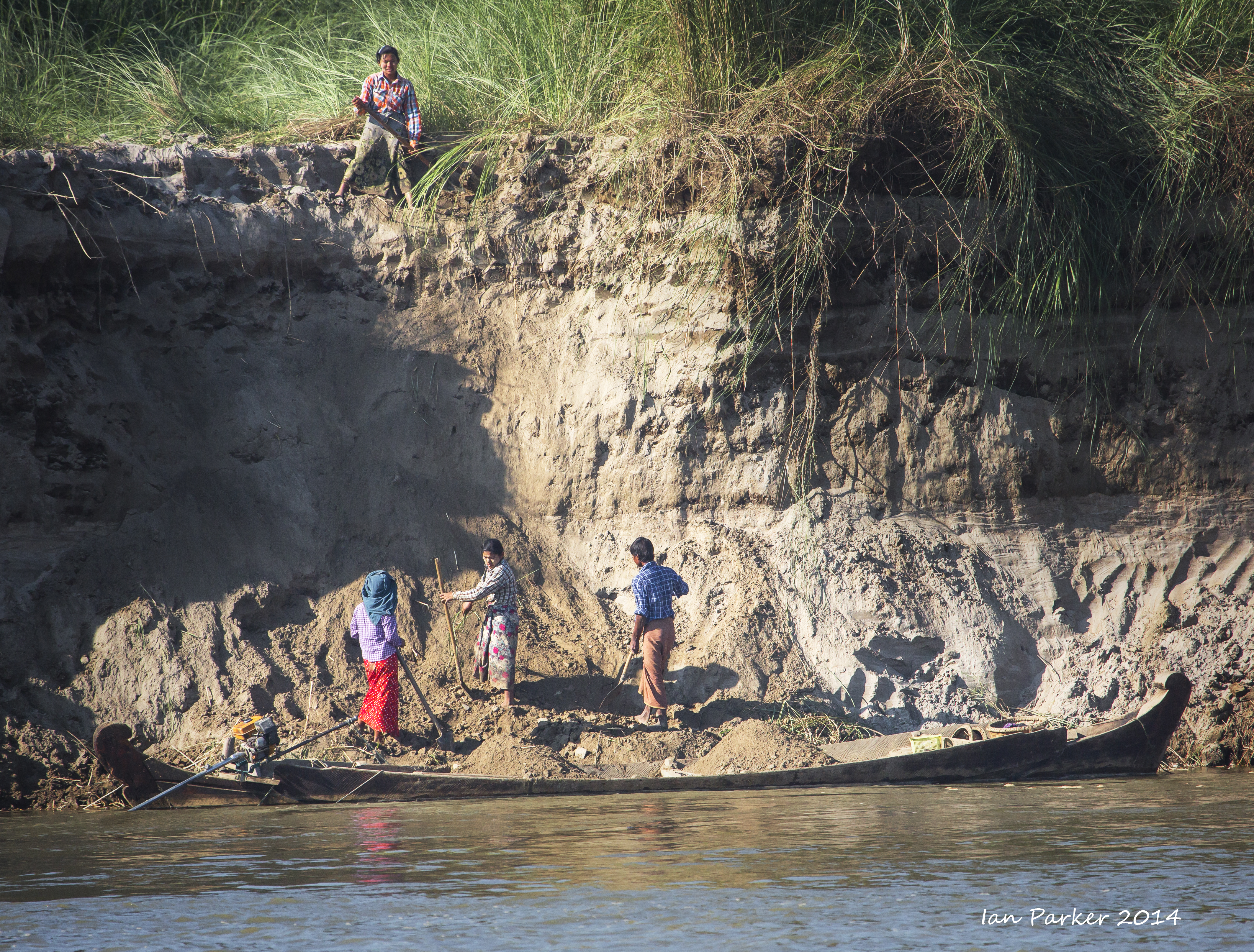
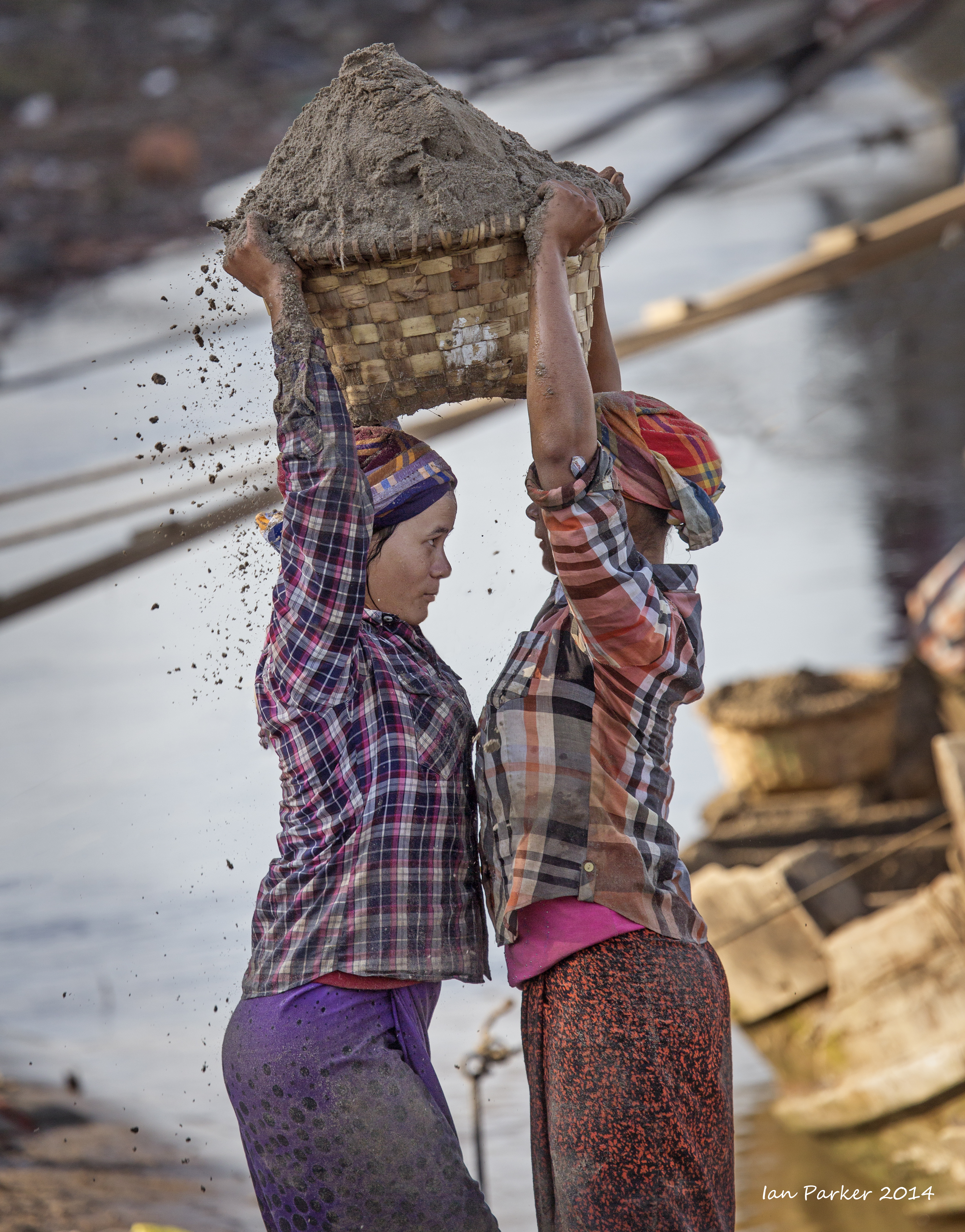
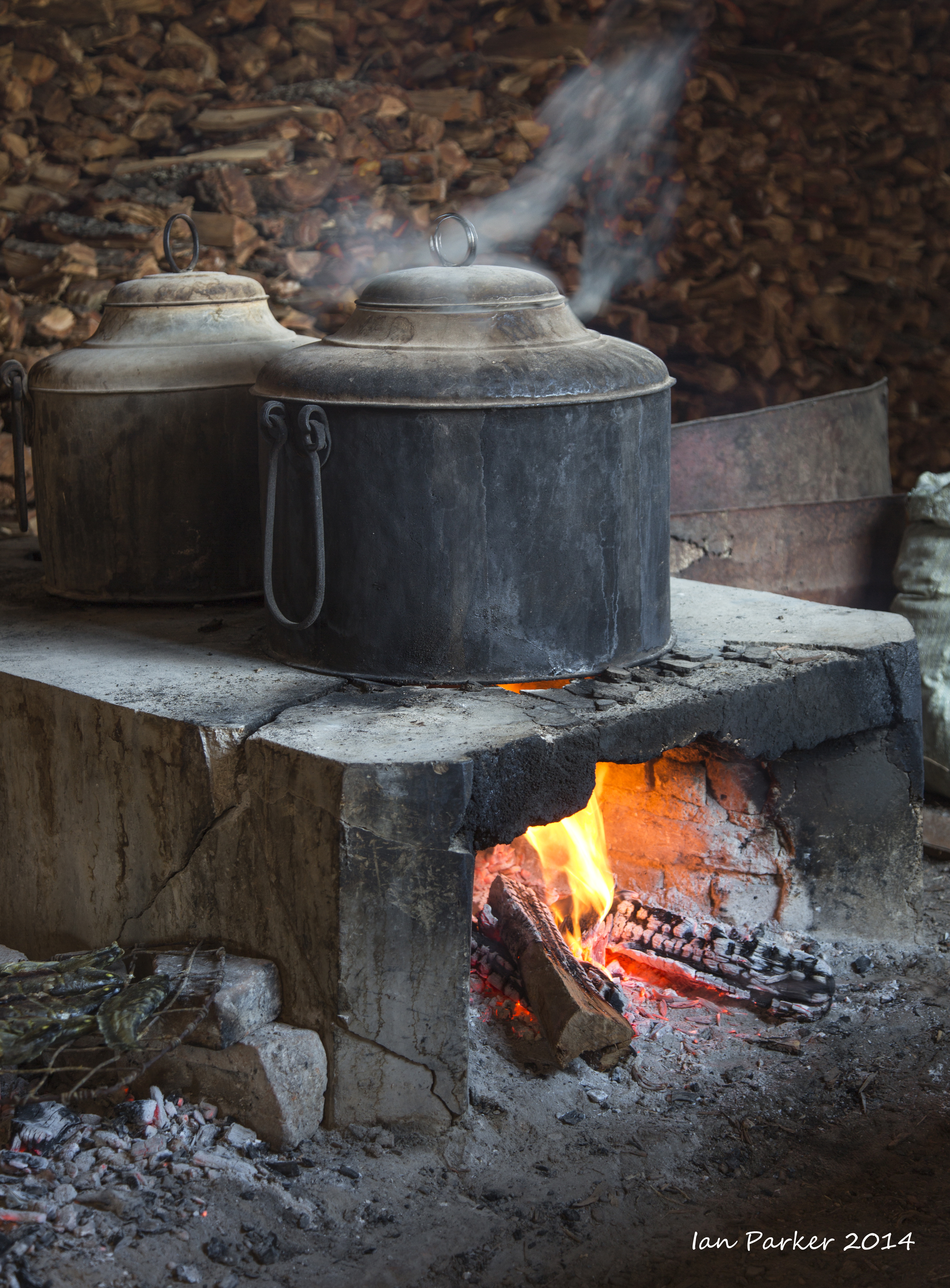
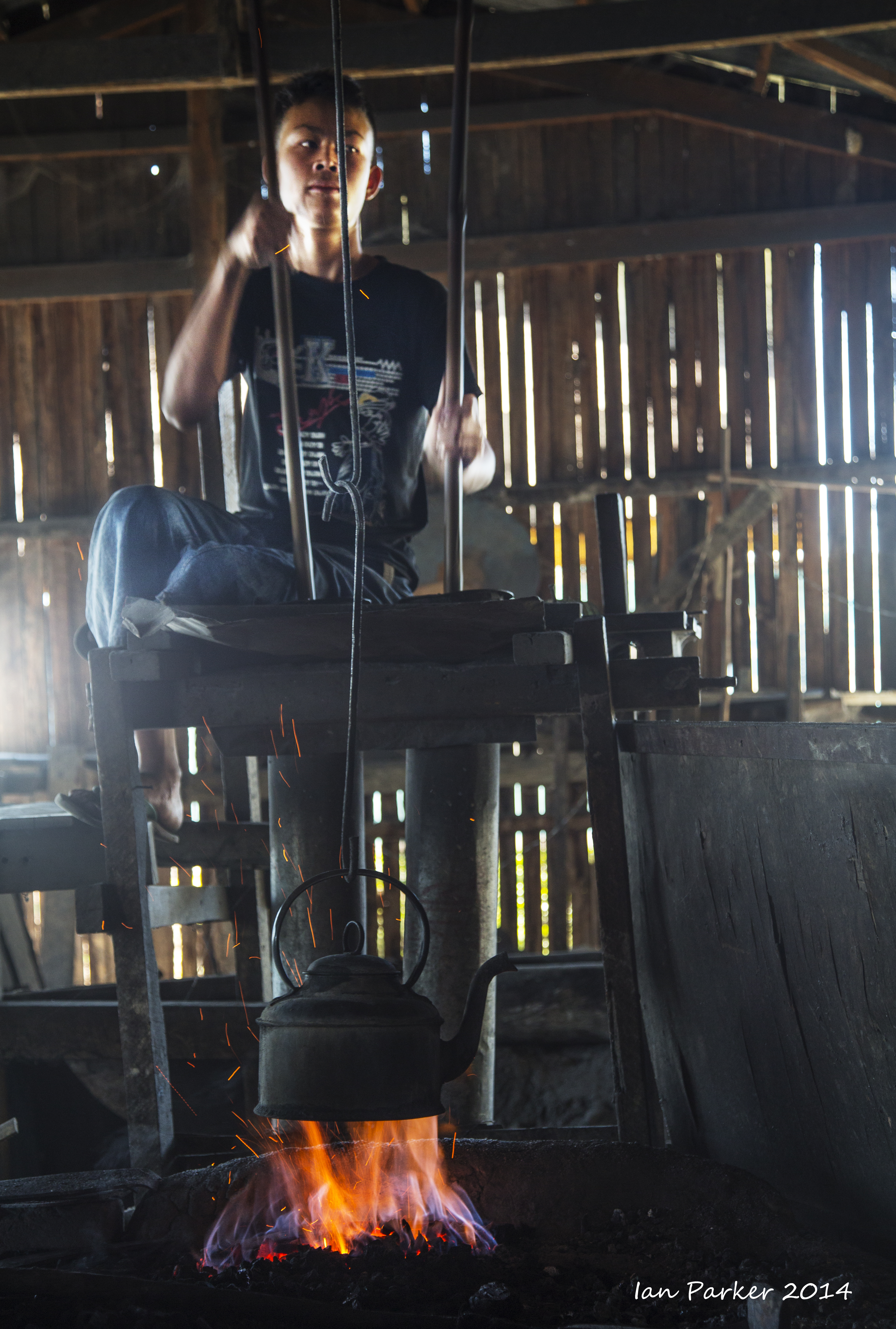
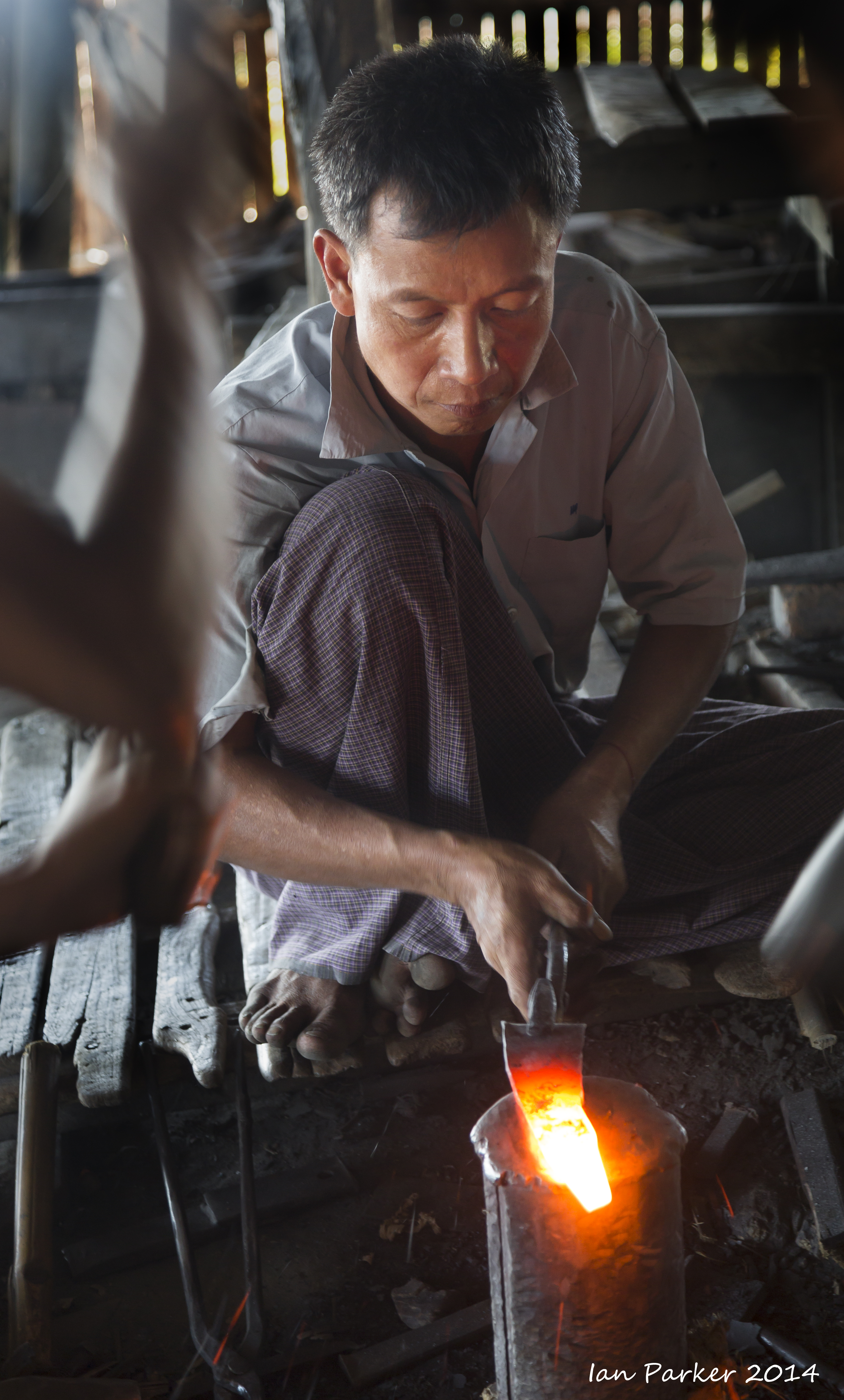
Life along the Ayerwaddy (Irawaddy) River at Mandalay
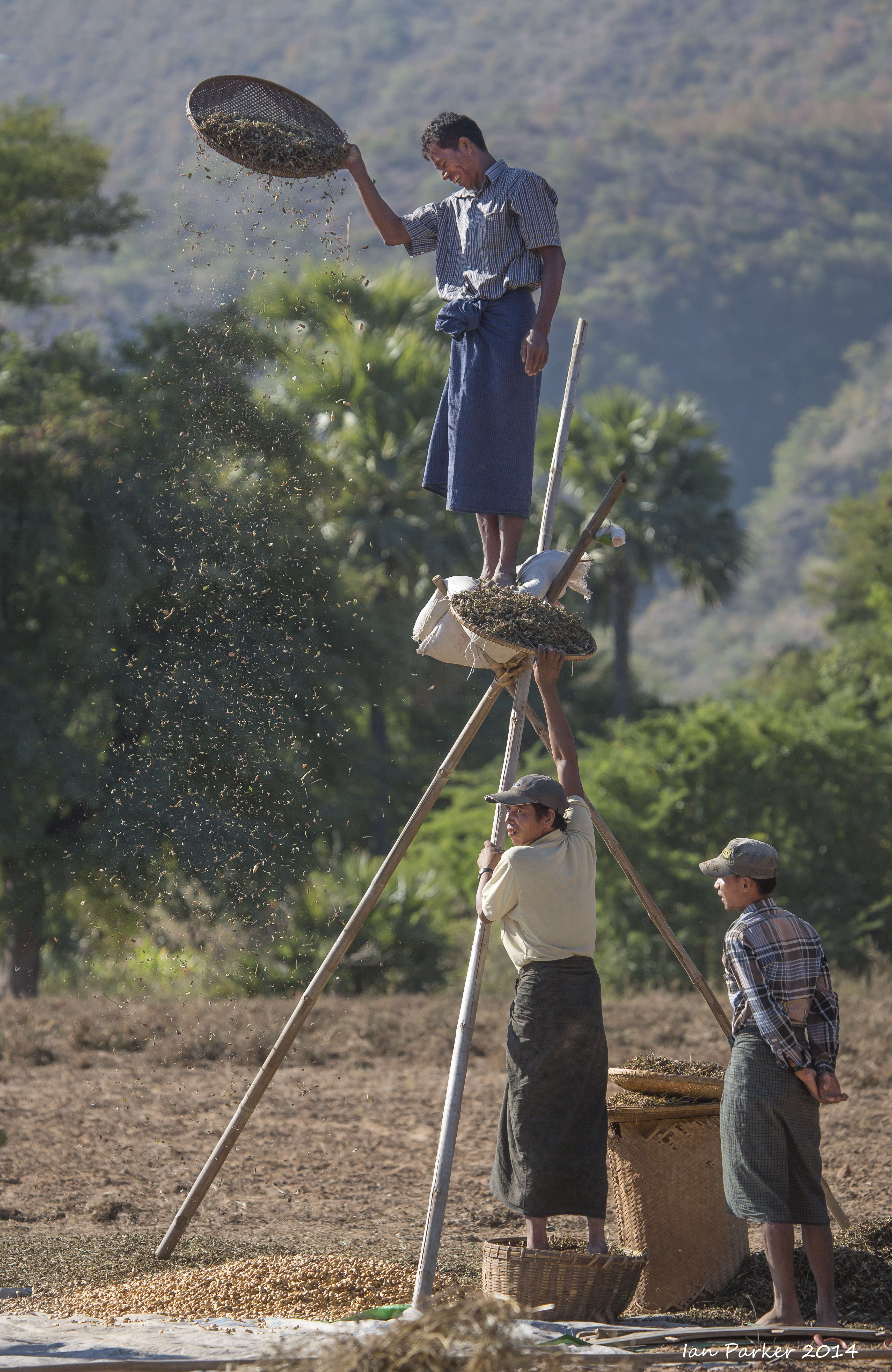
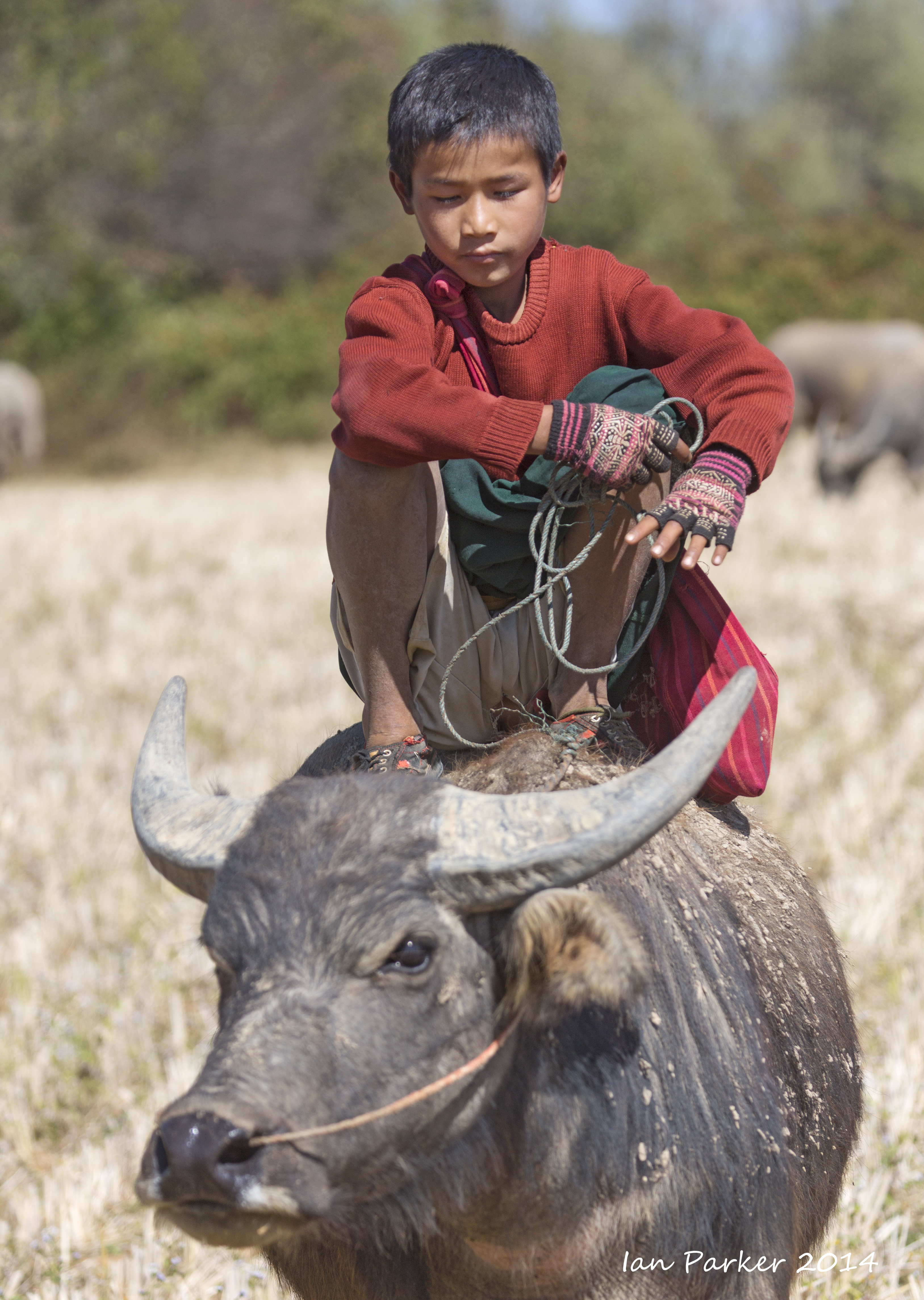
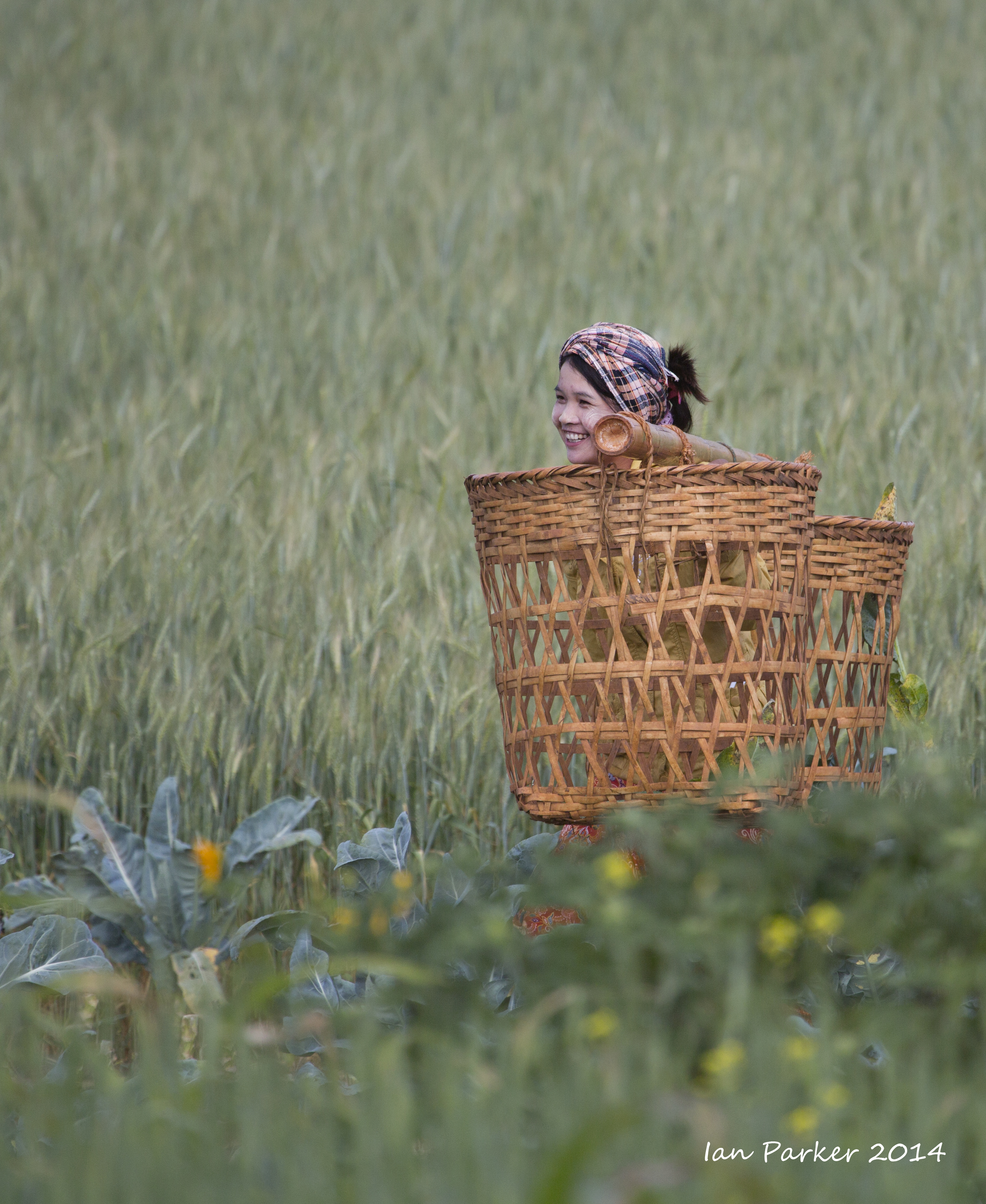
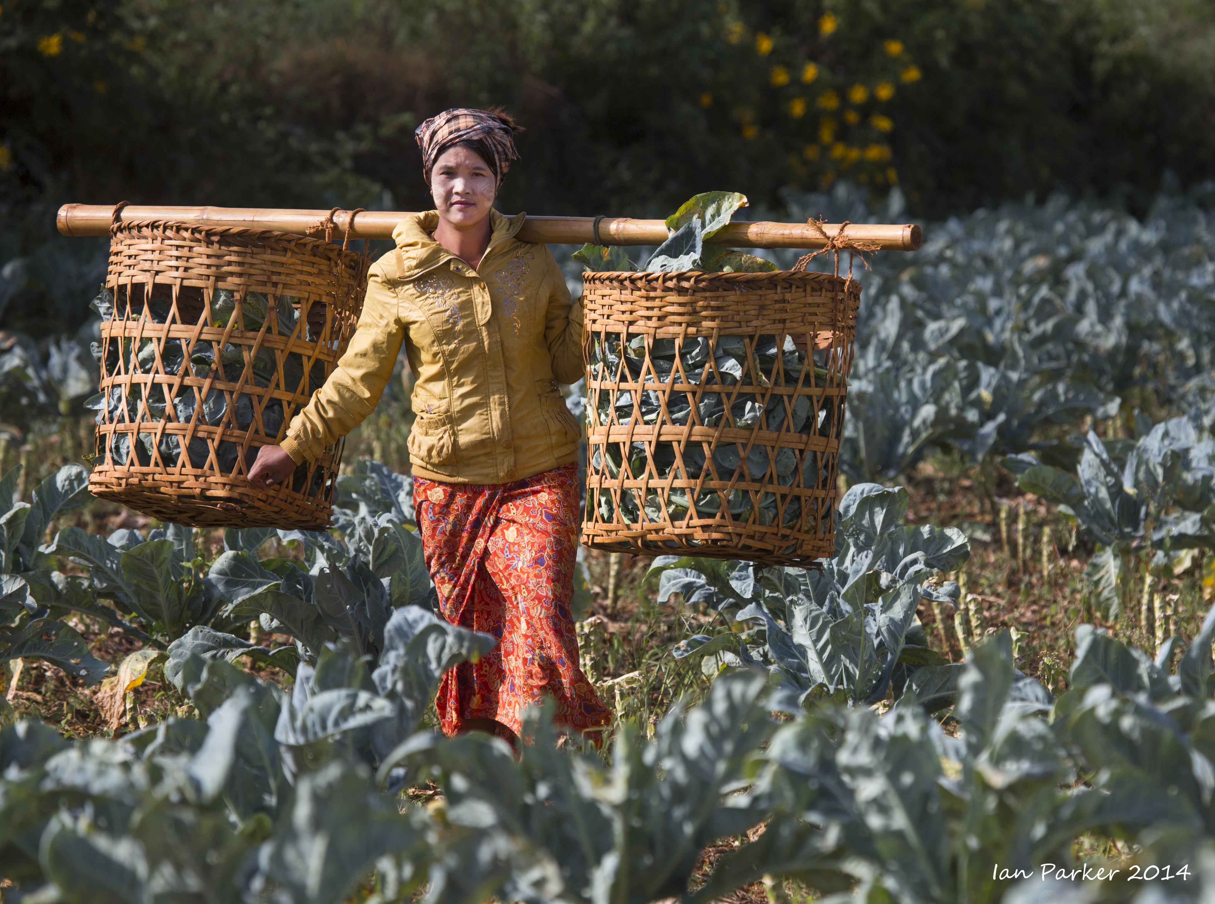
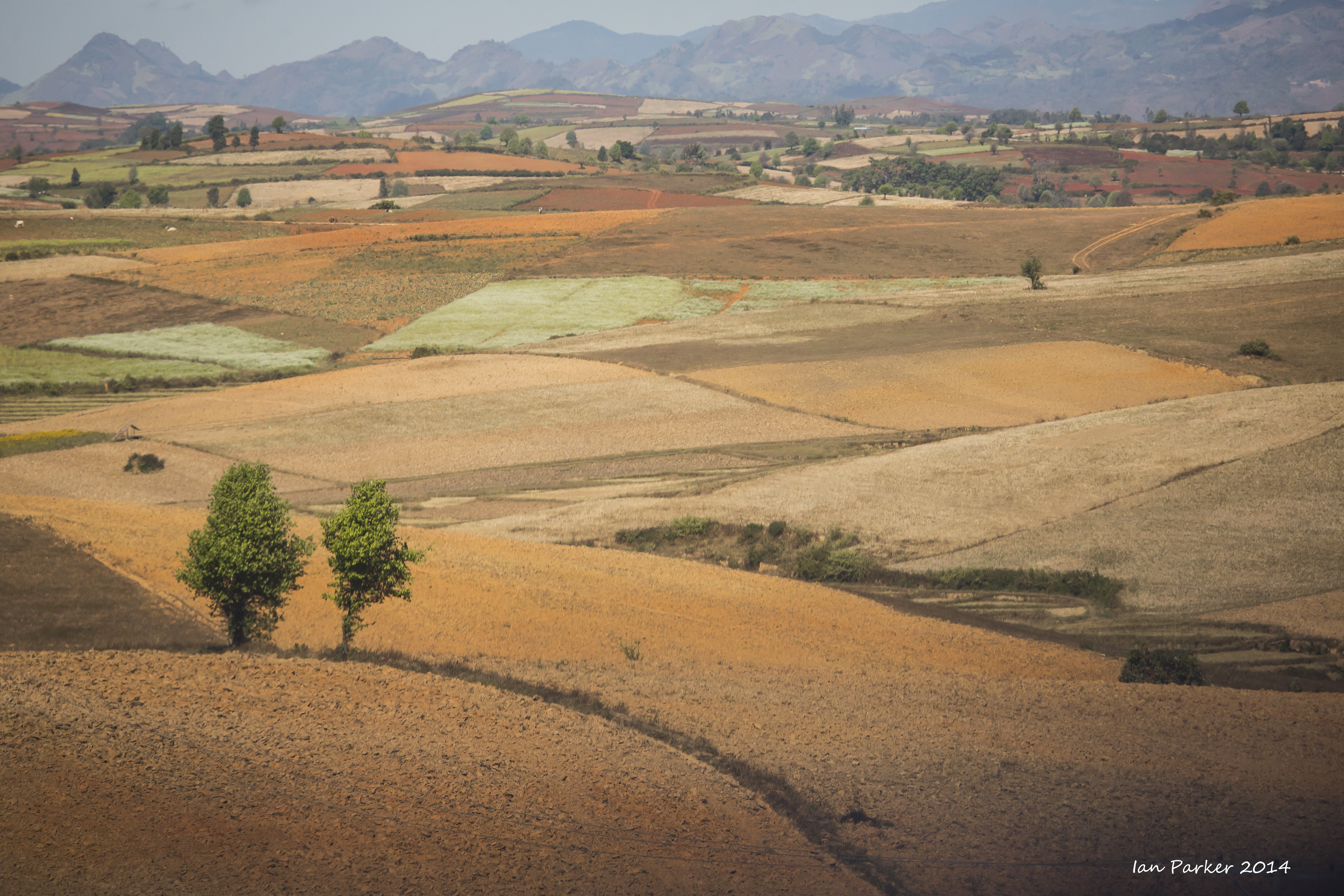
Burma, Dec 6-8 : Pindaya and Shan State hill country along the Burma Road
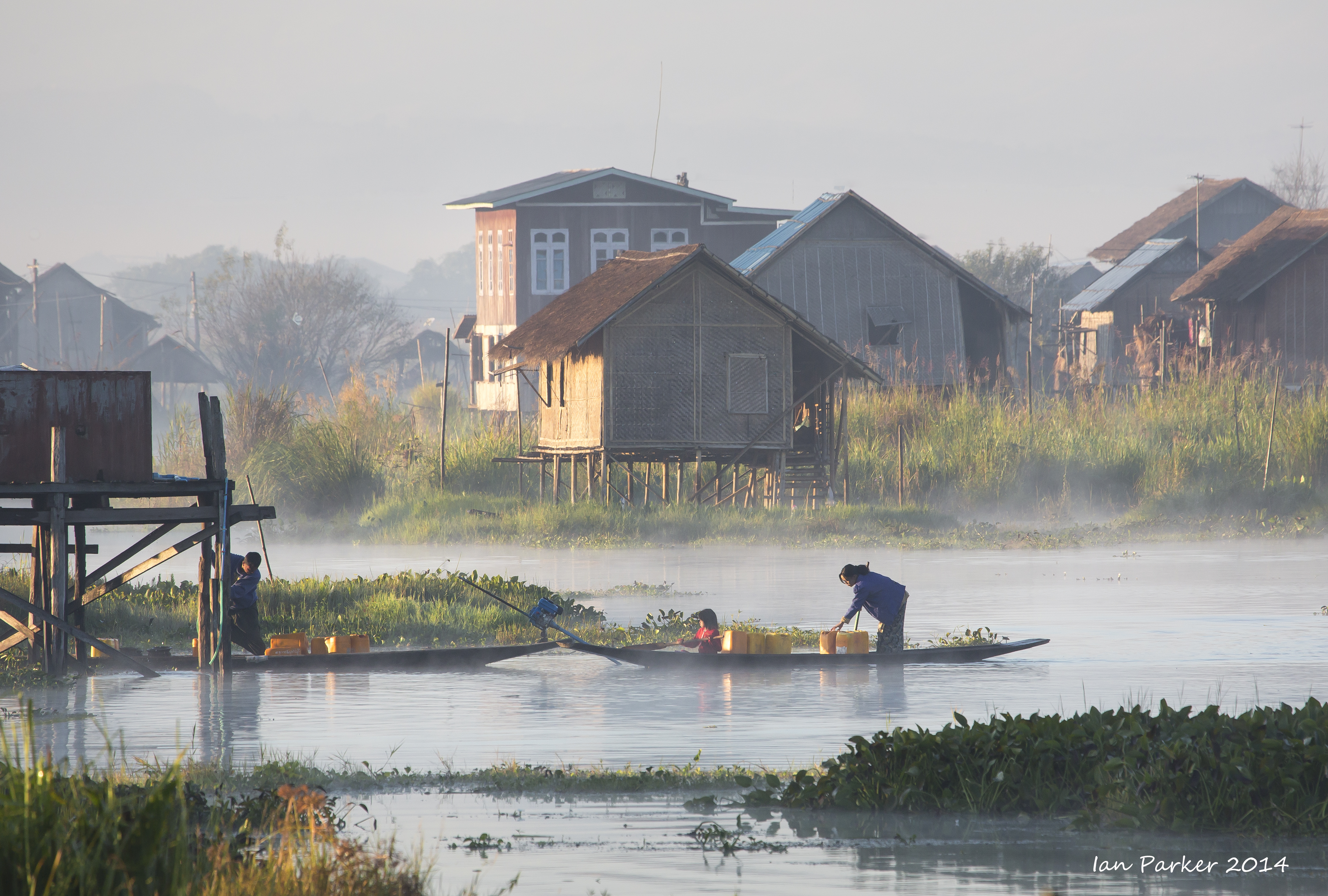
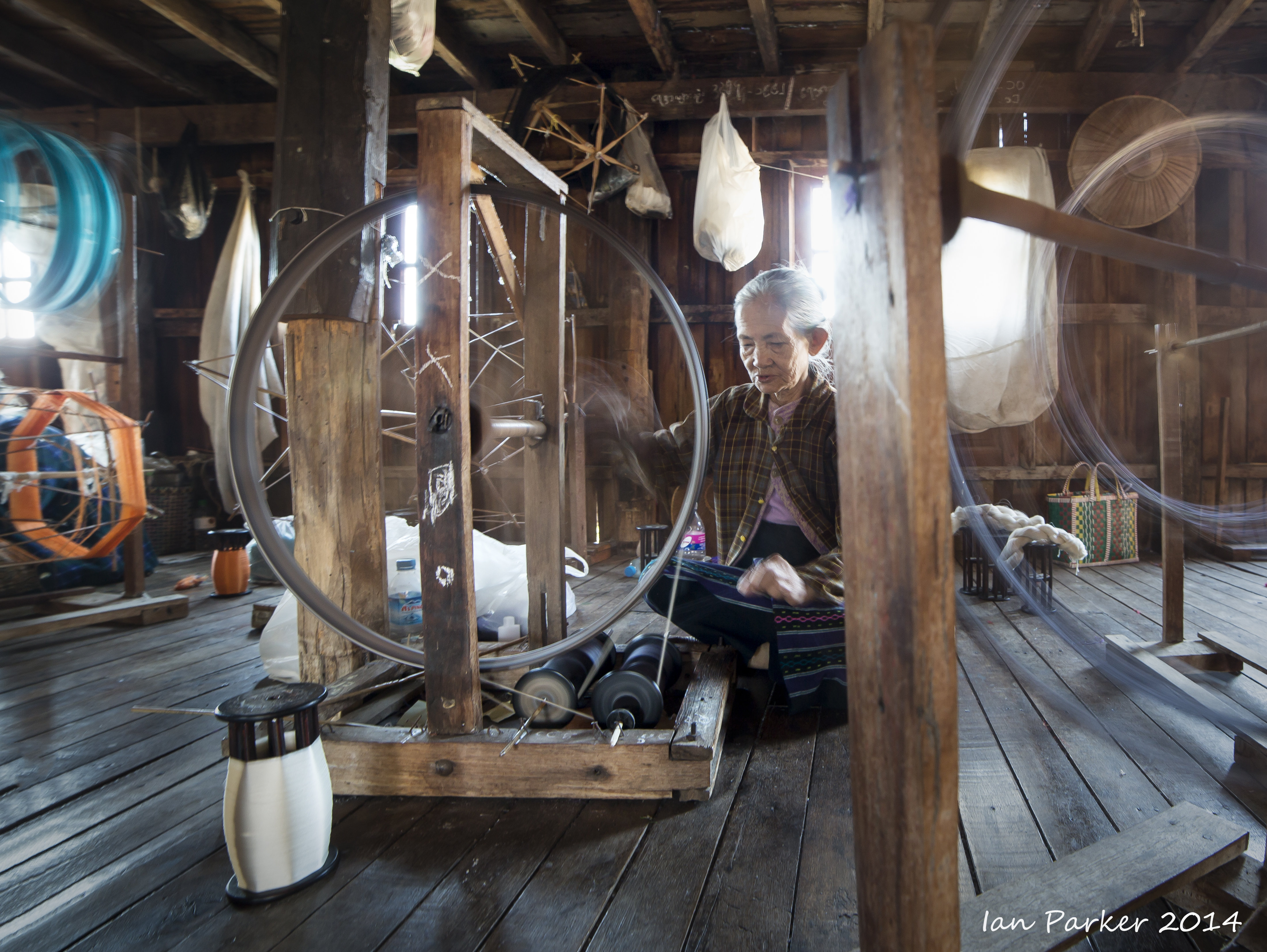
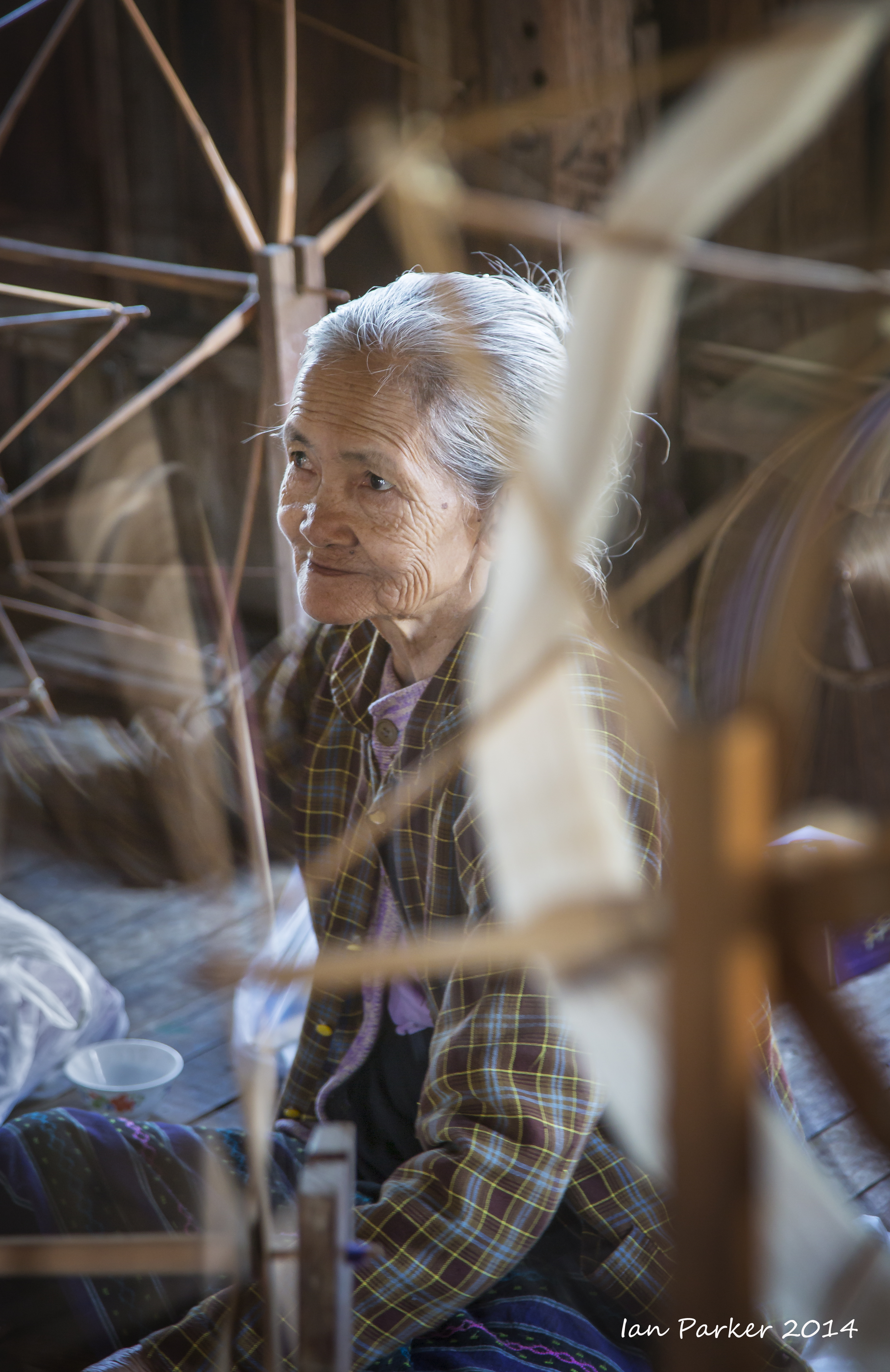
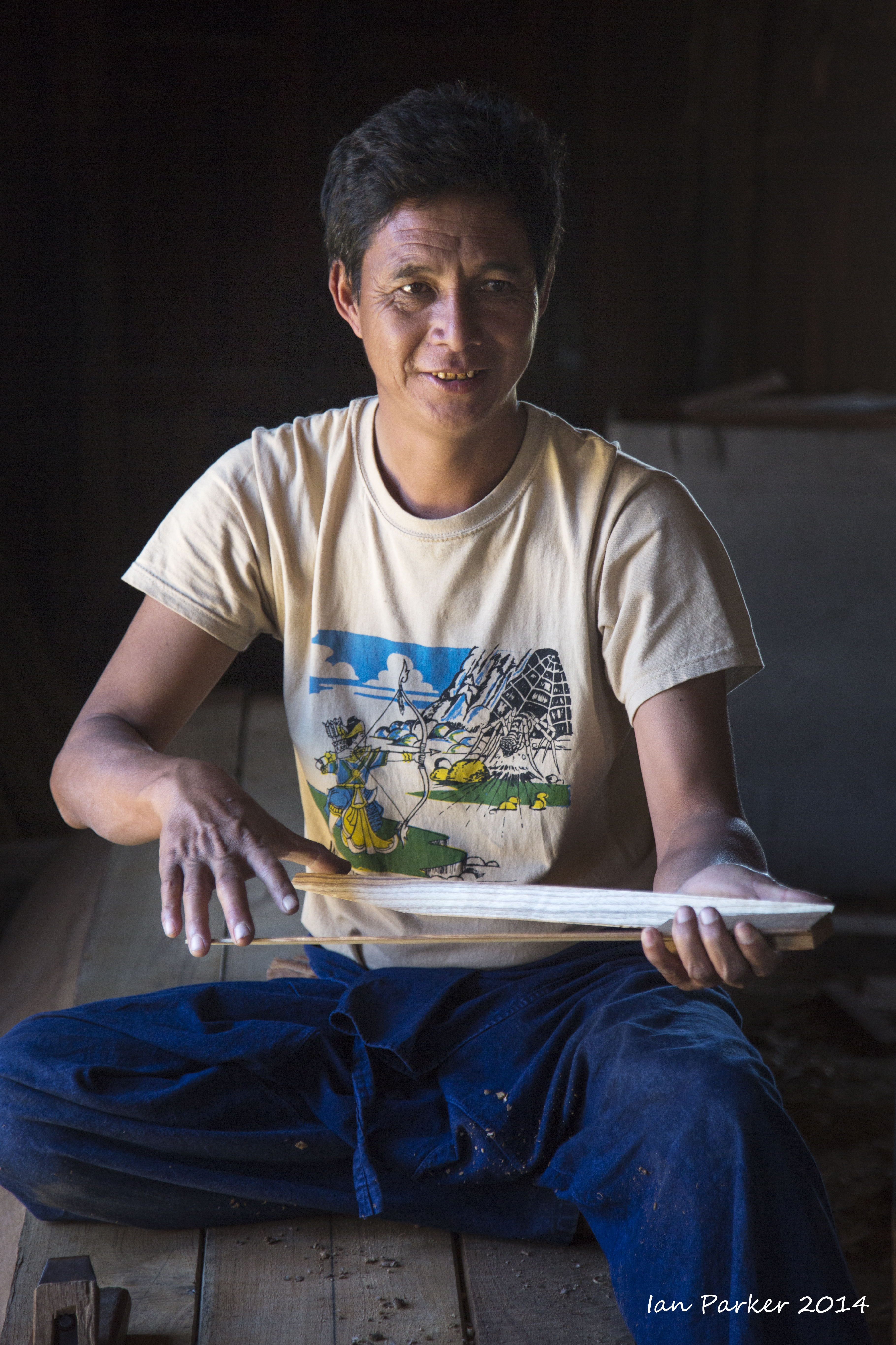
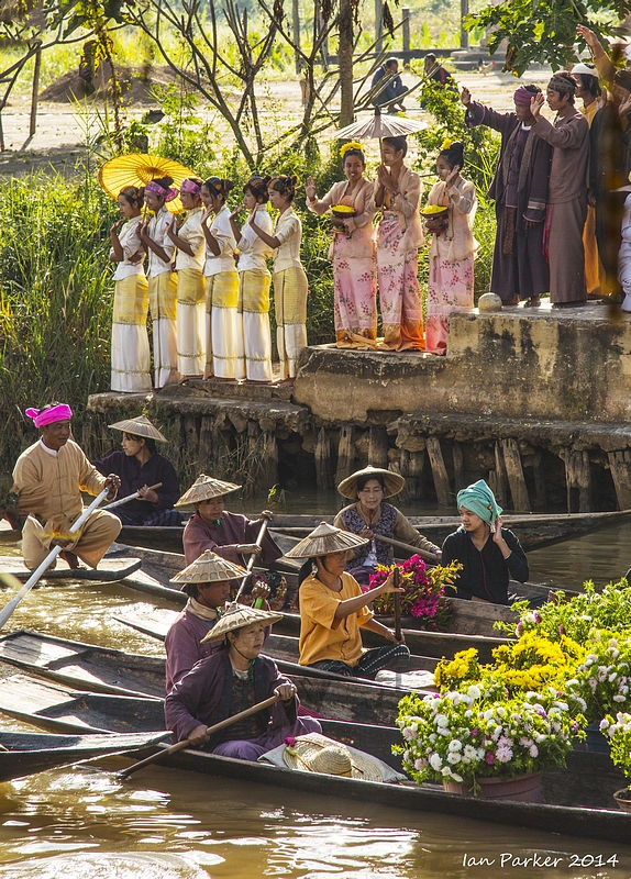
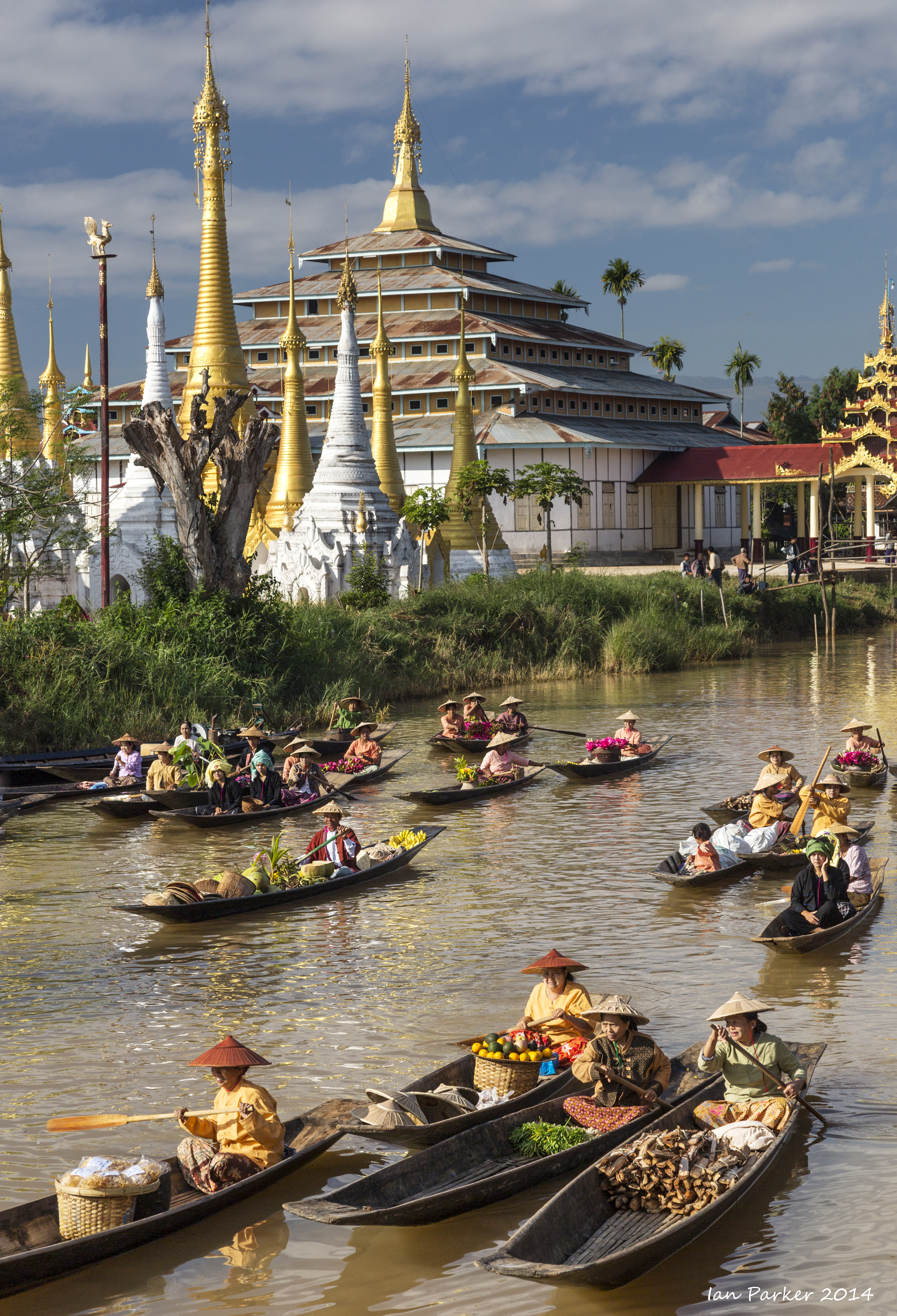
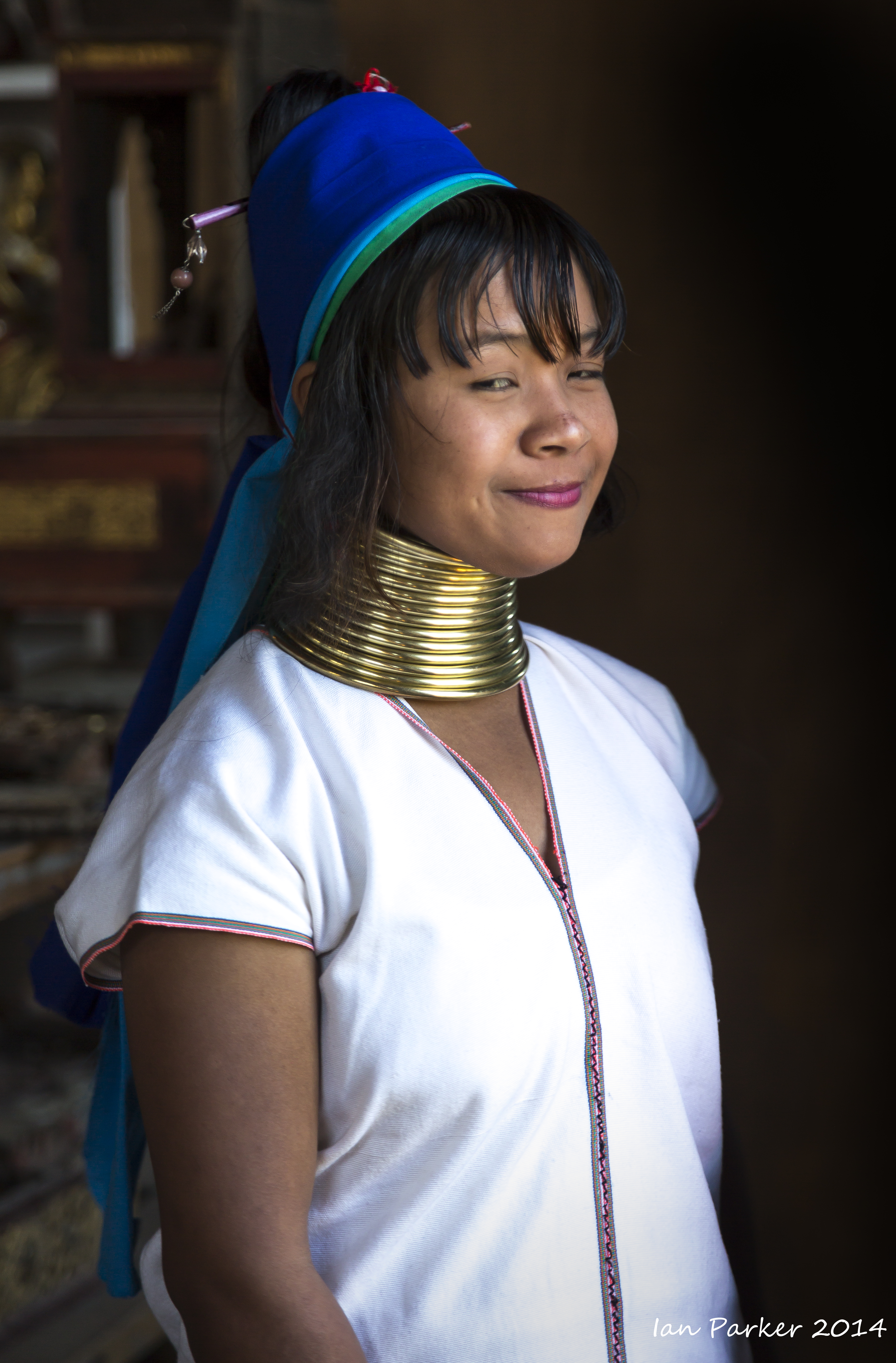
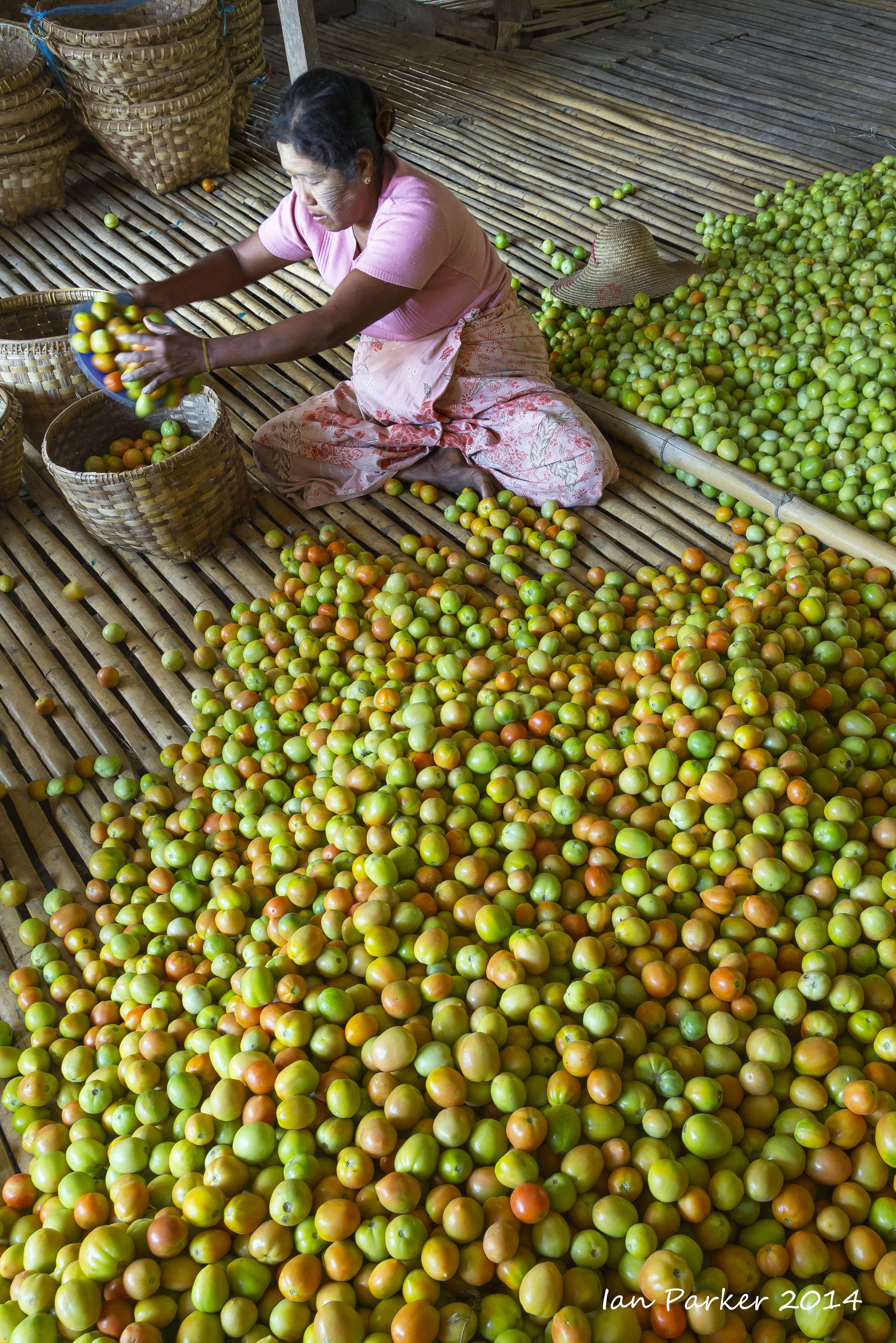
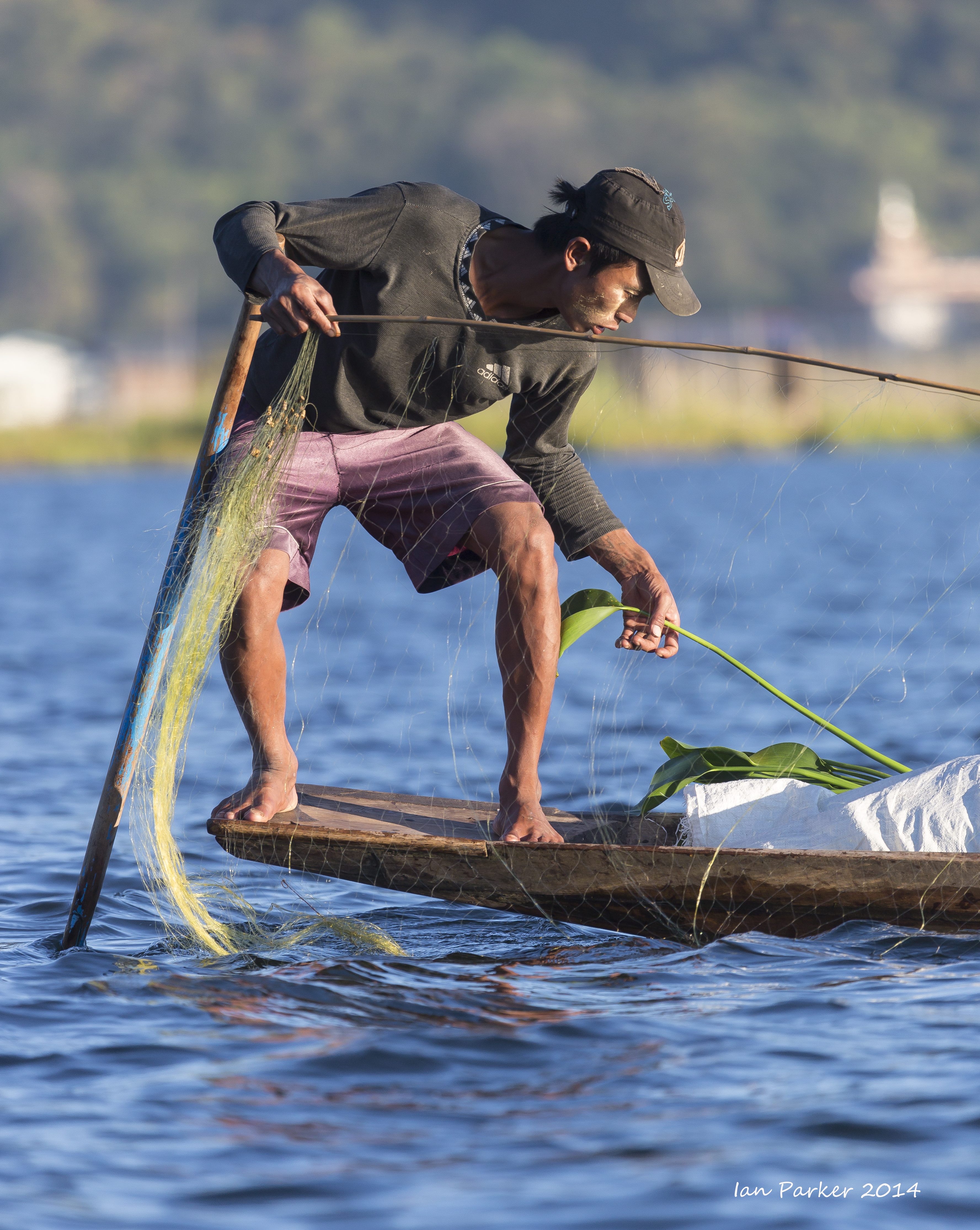
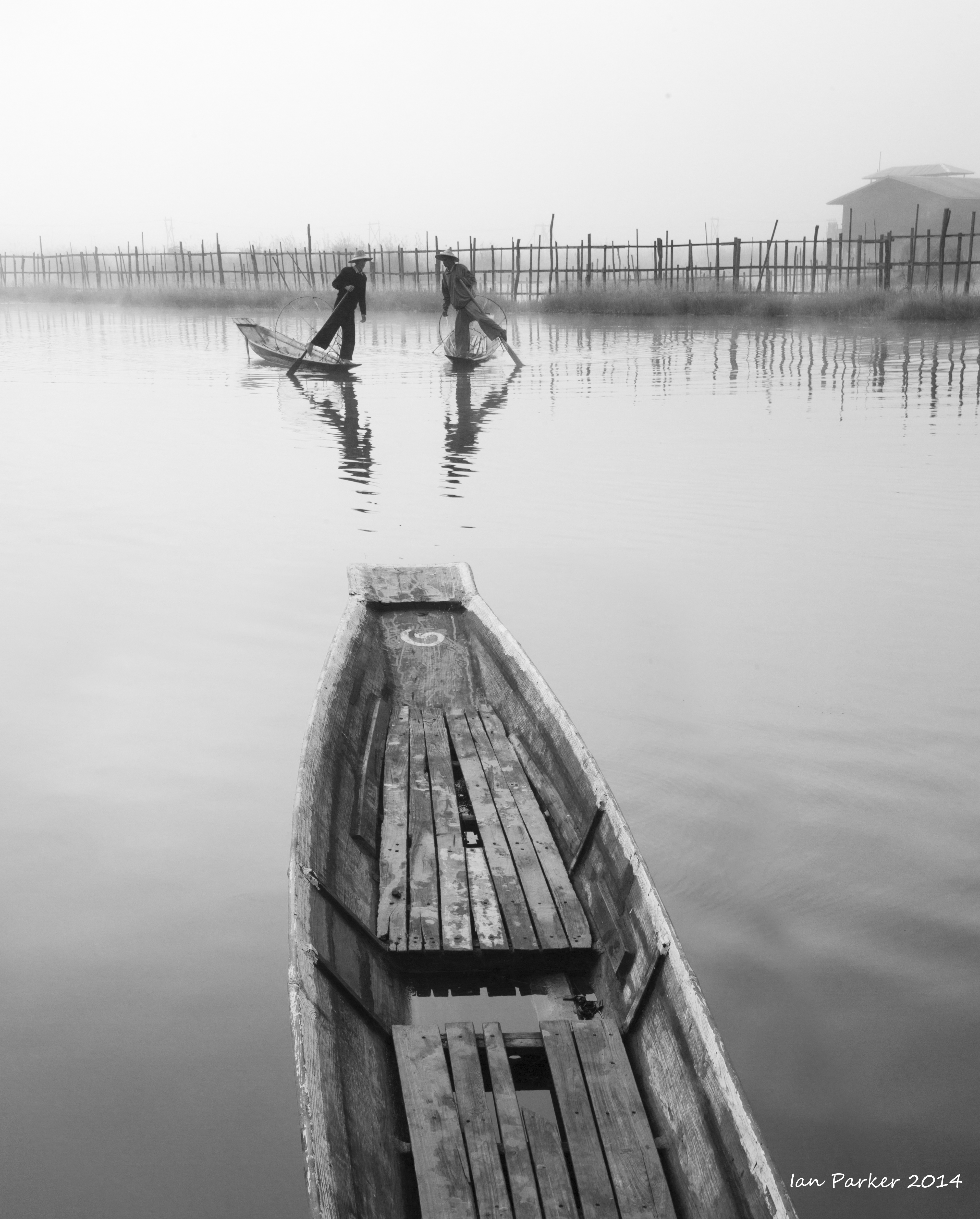
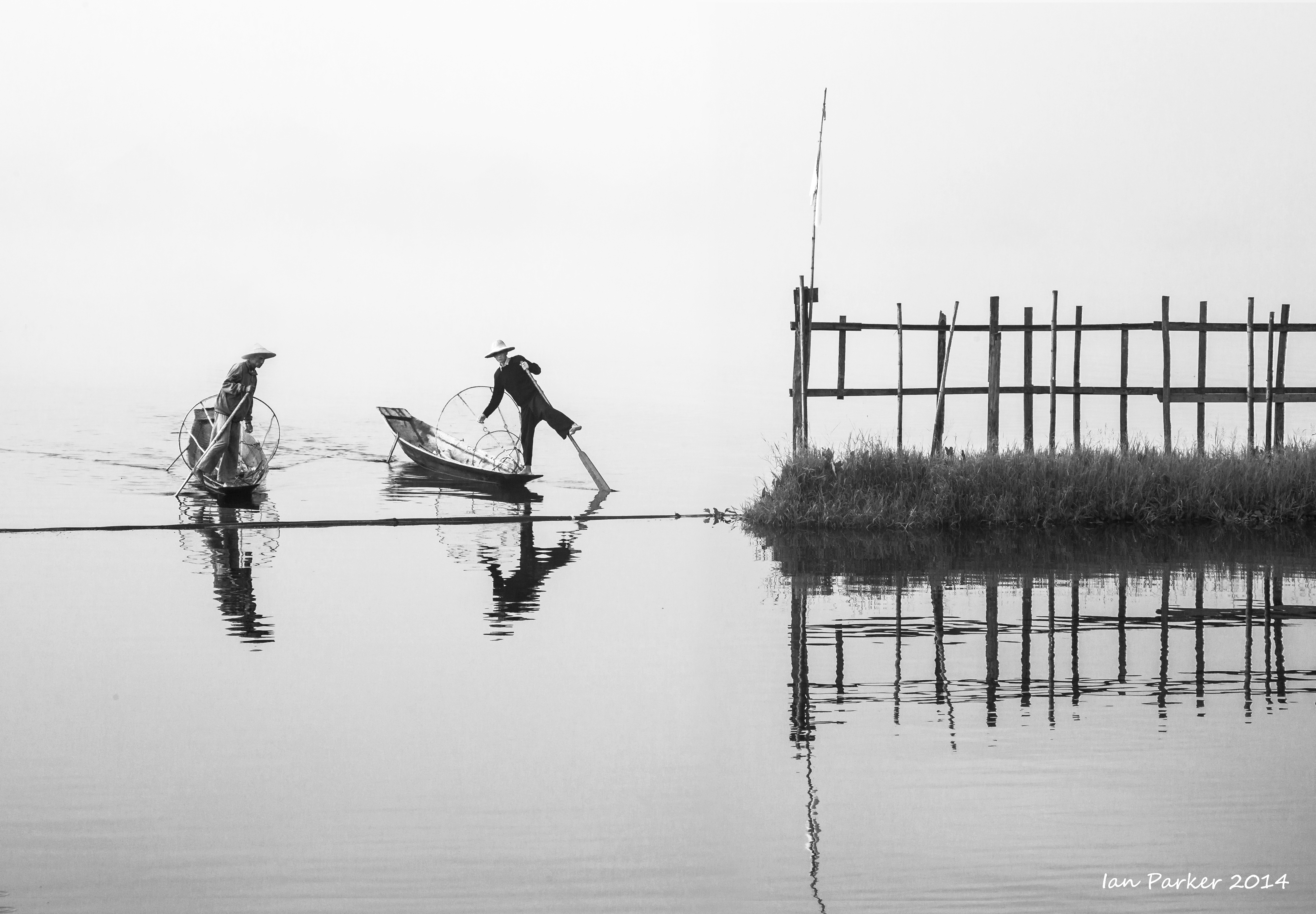
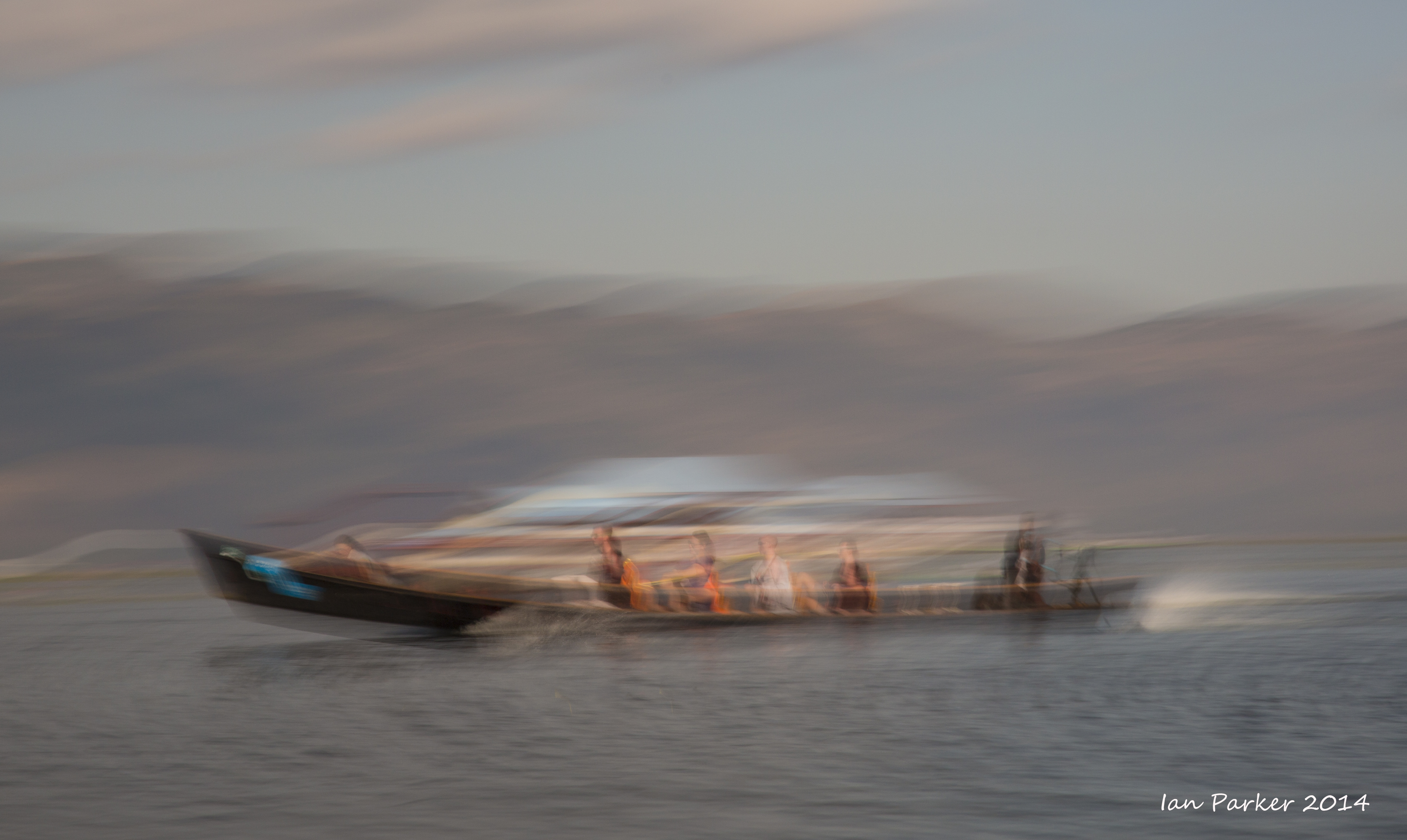
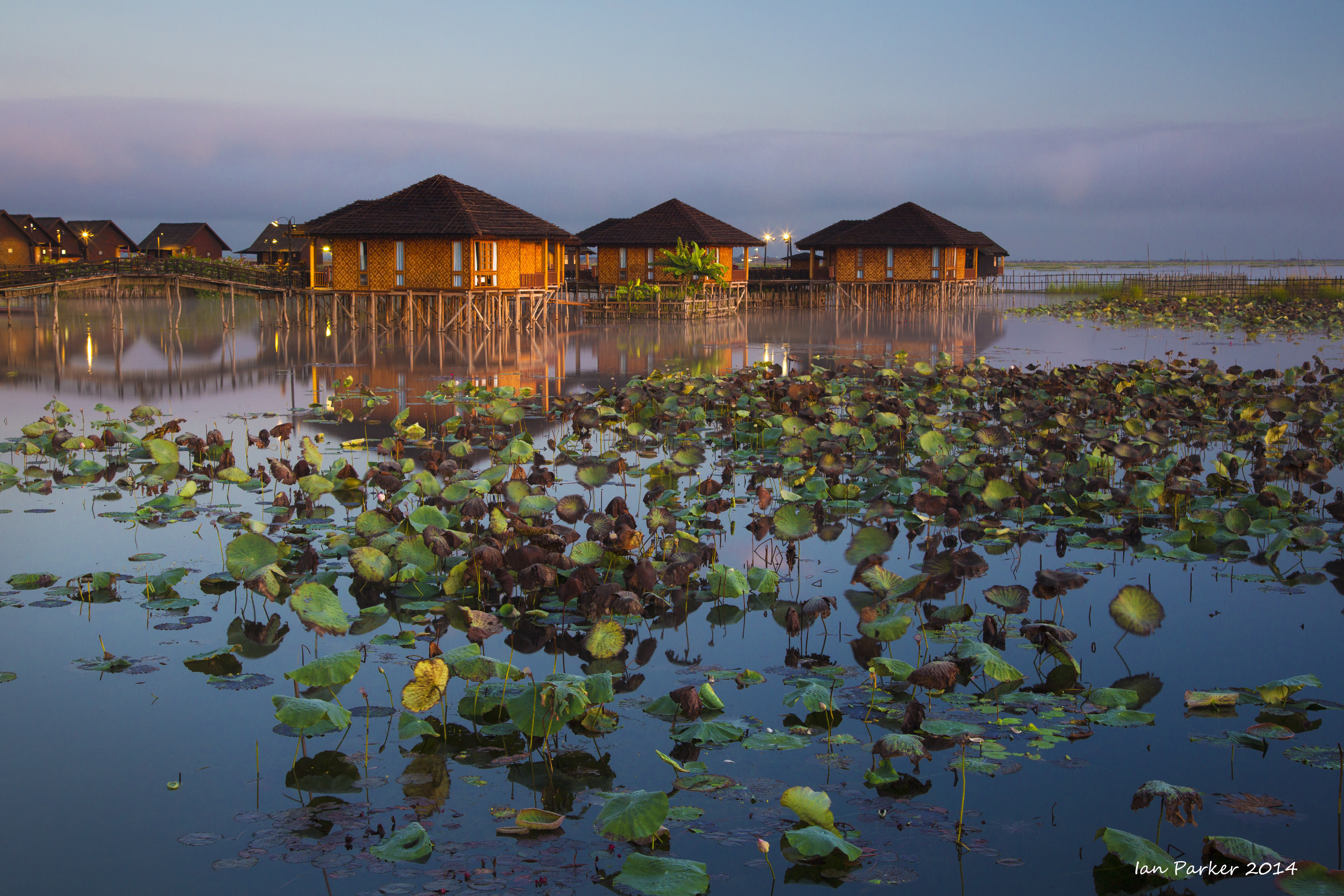
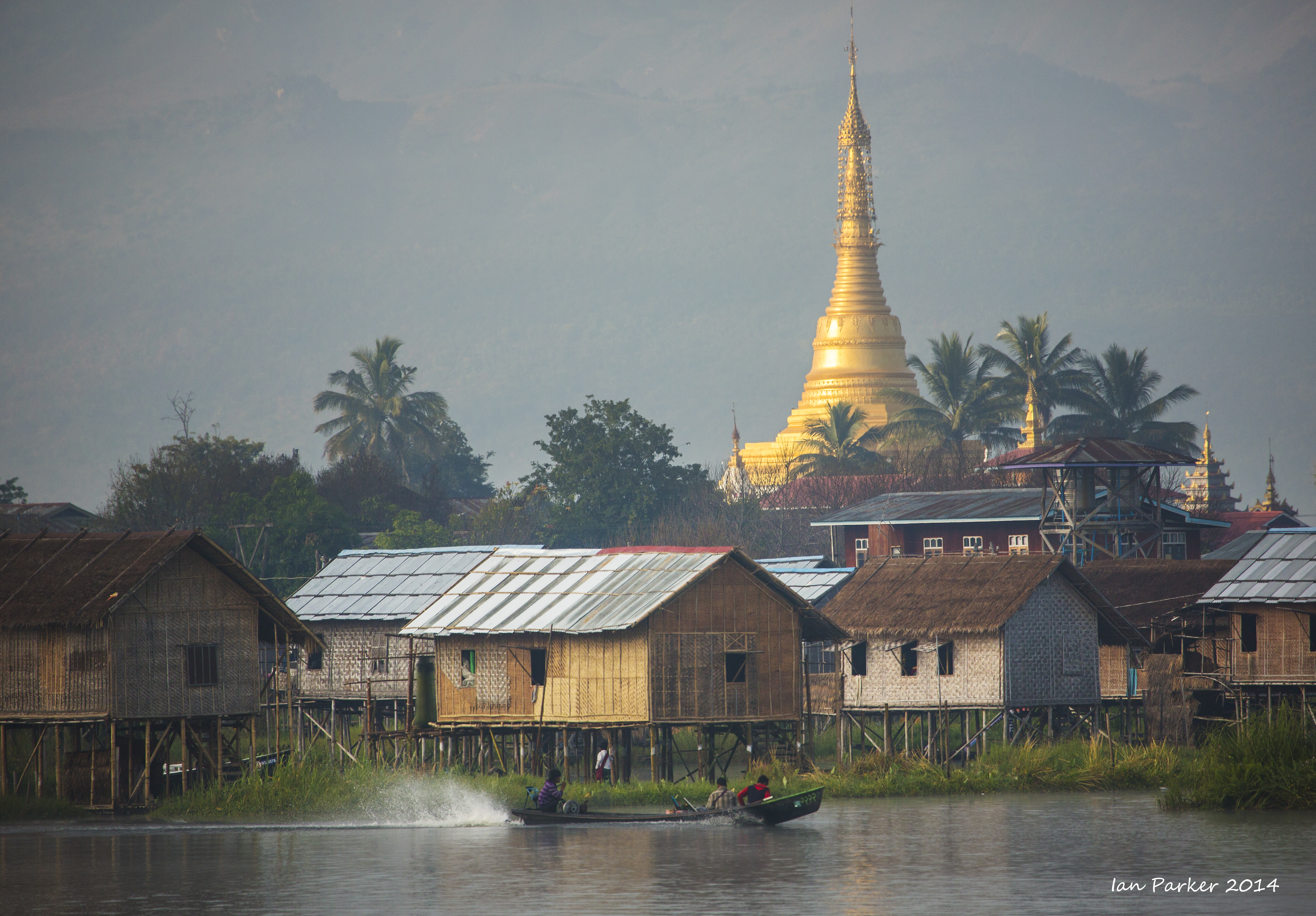
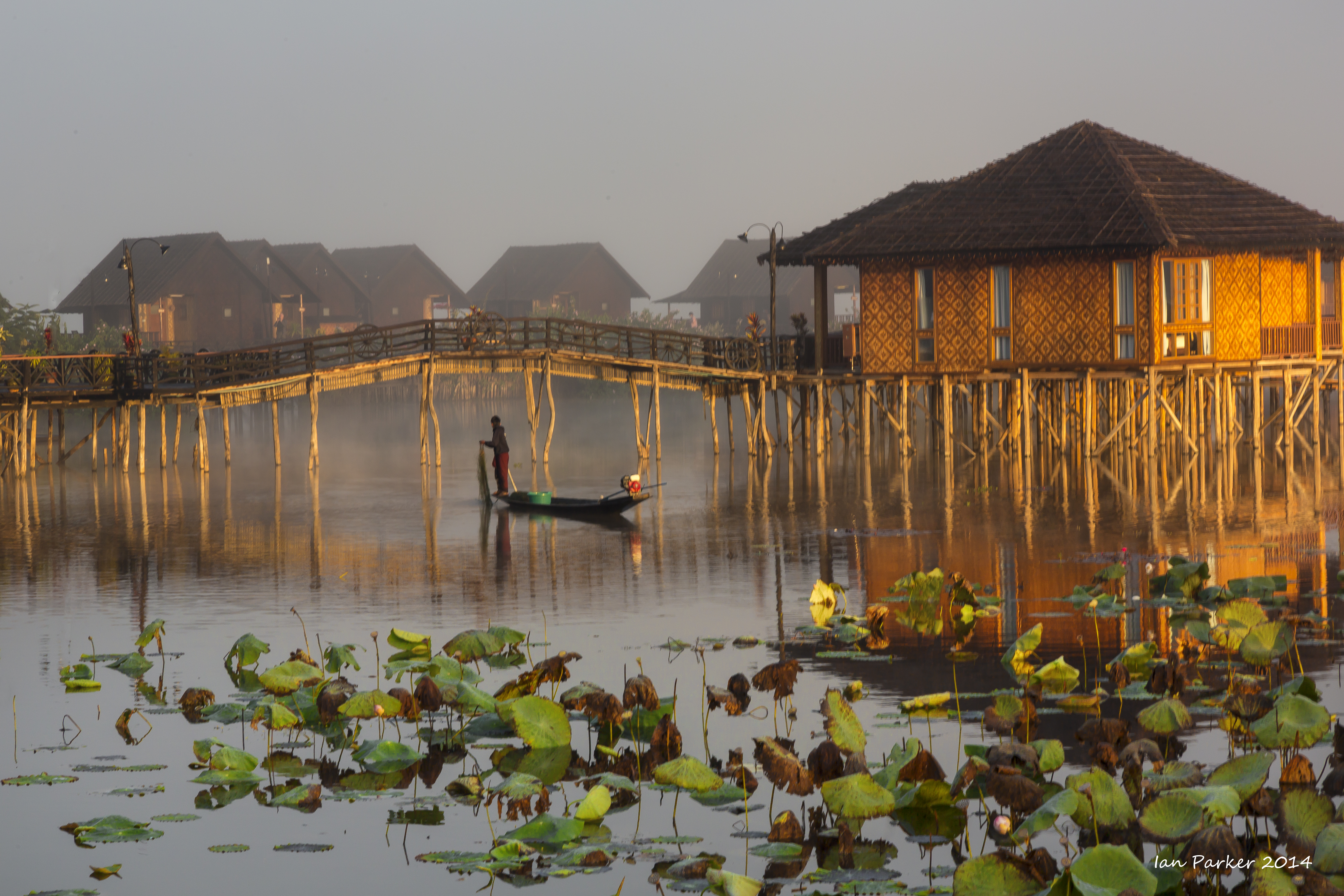
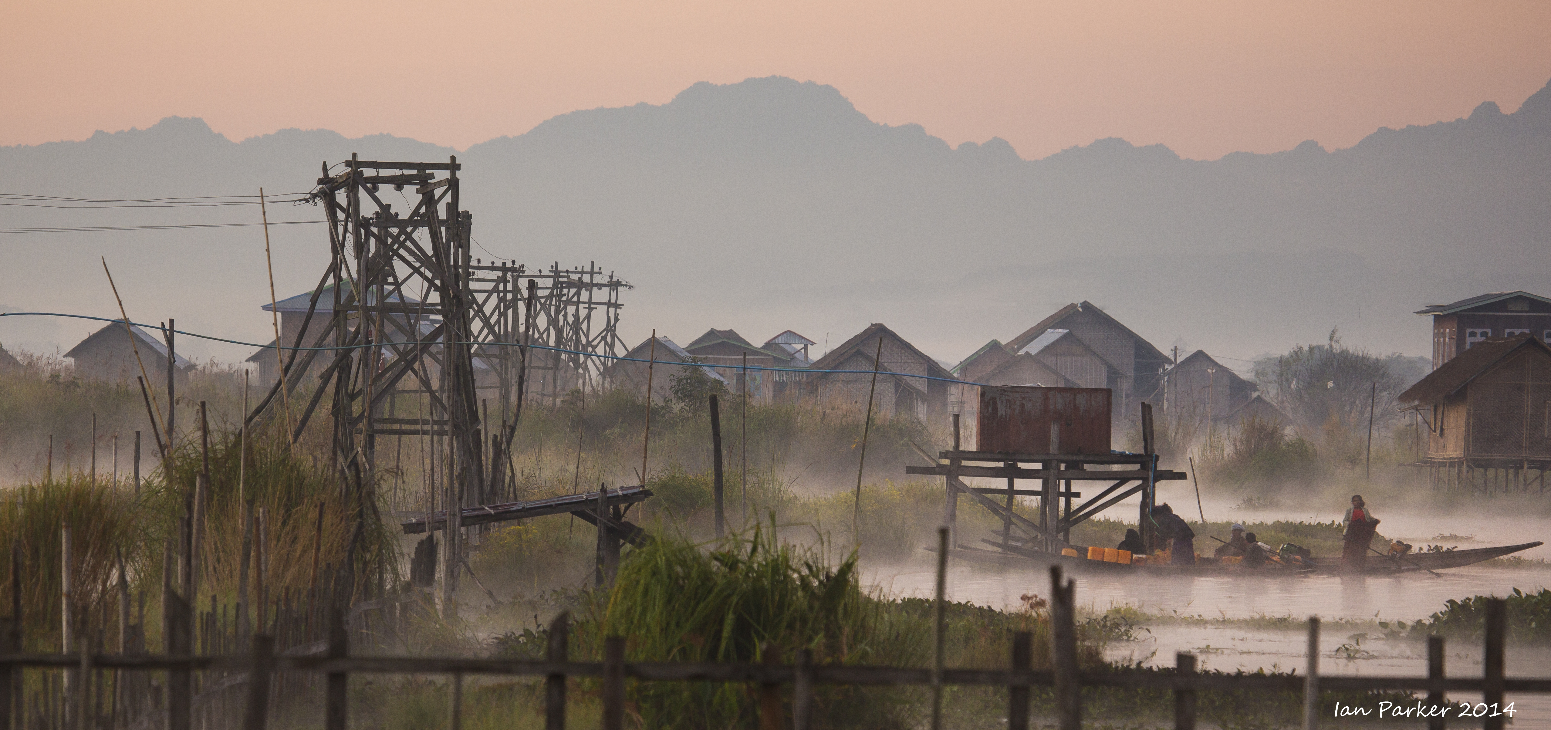
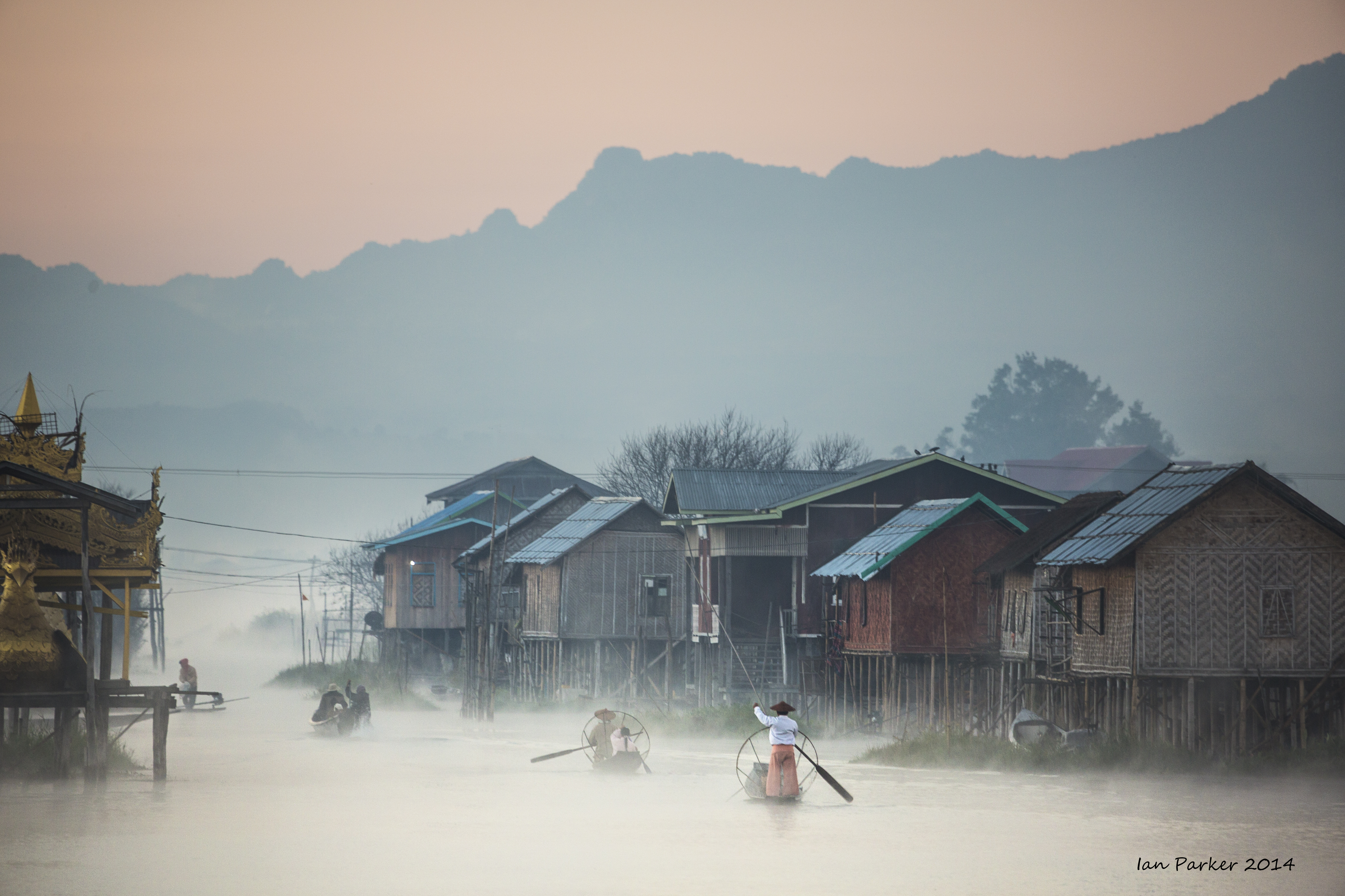
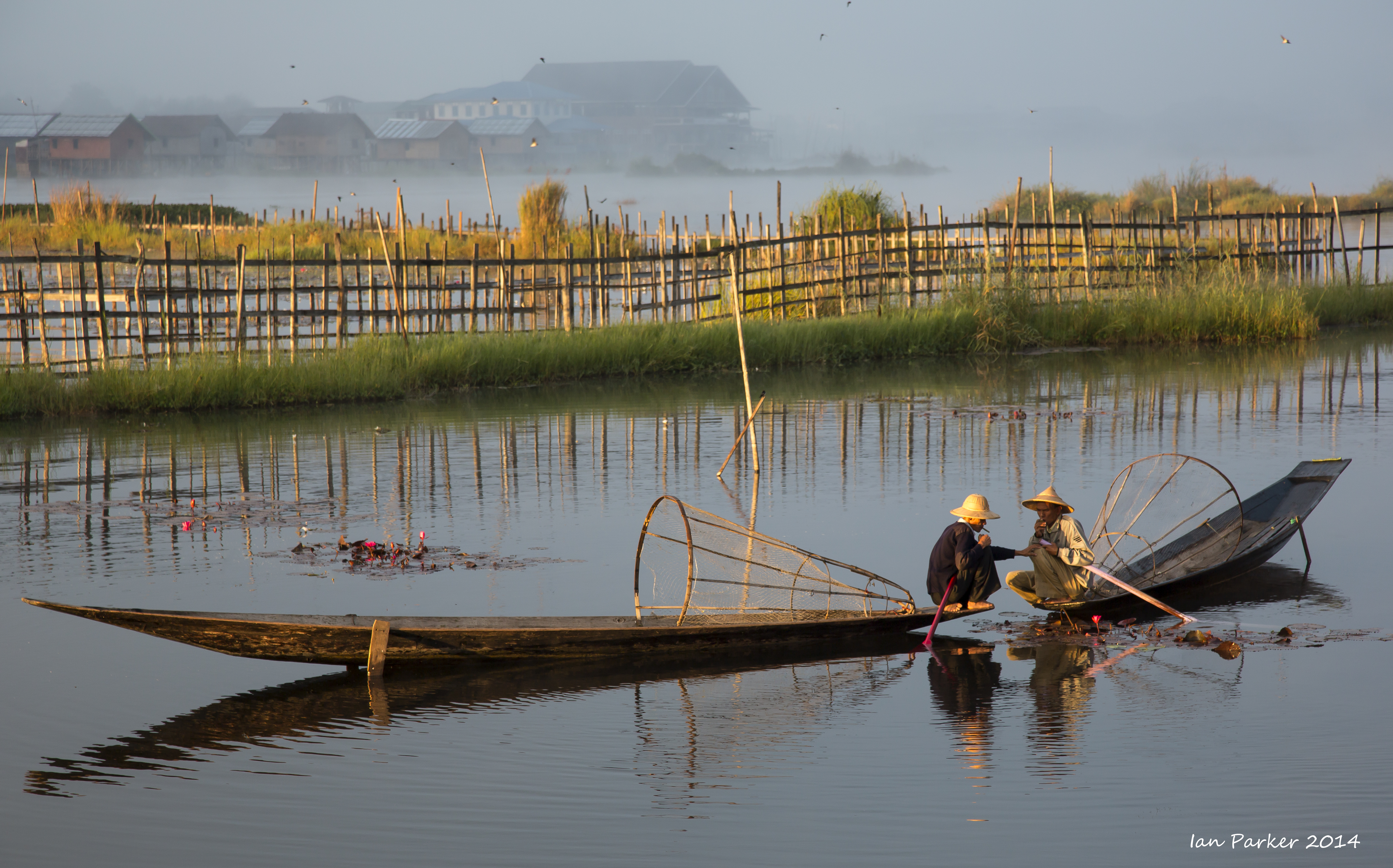
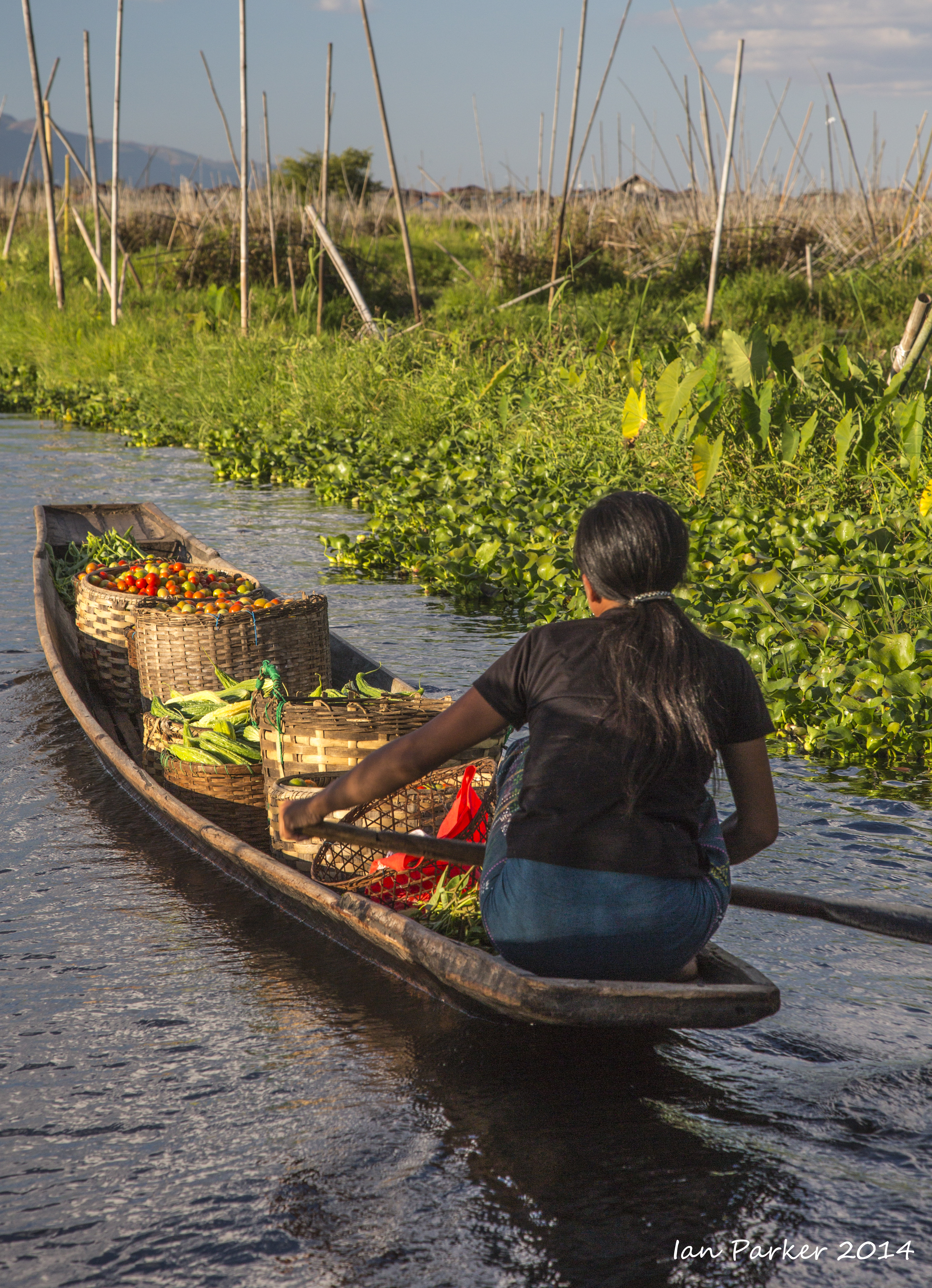
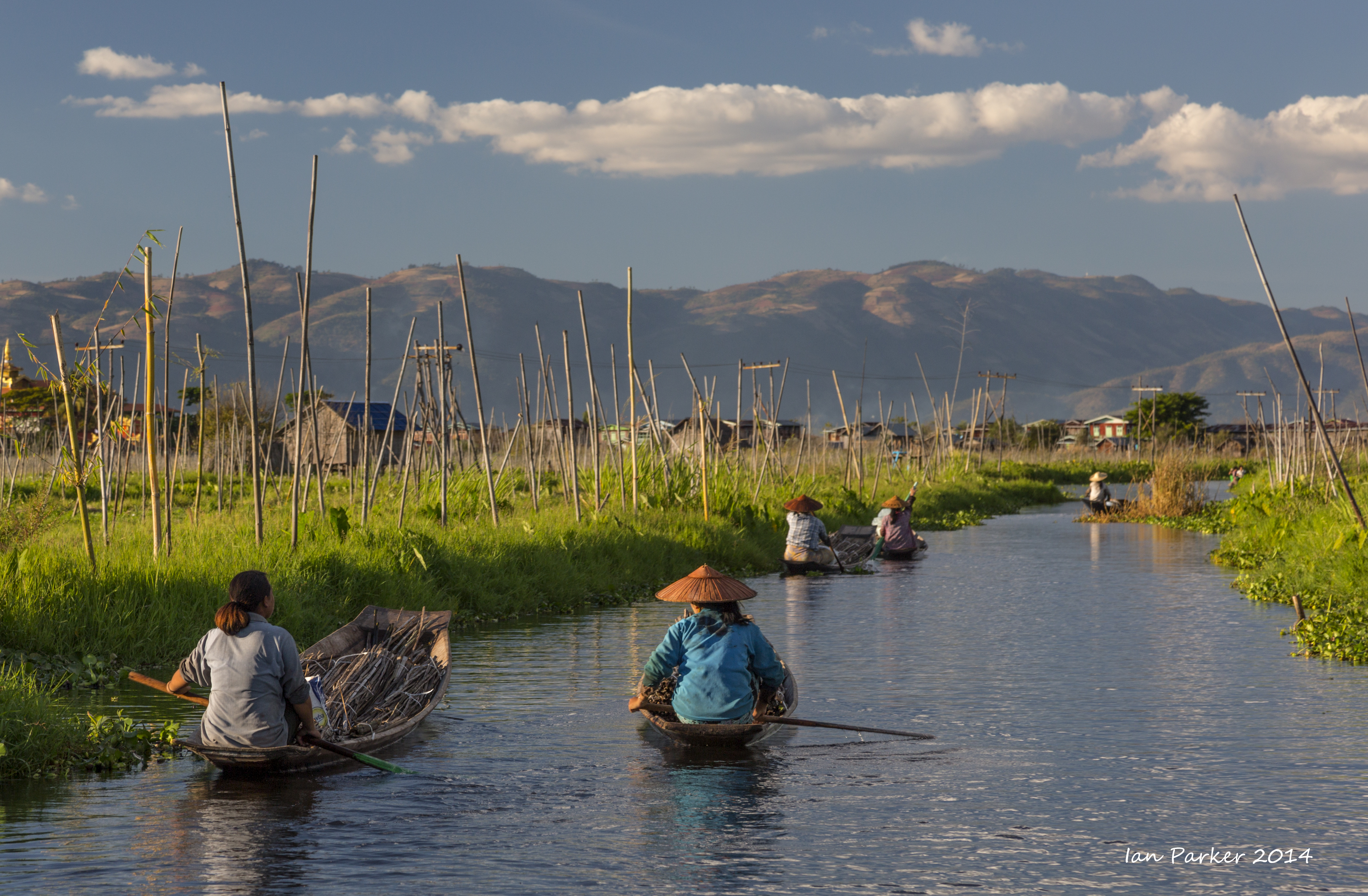
Burma, Dec. 4-7 : Around Inle Lake
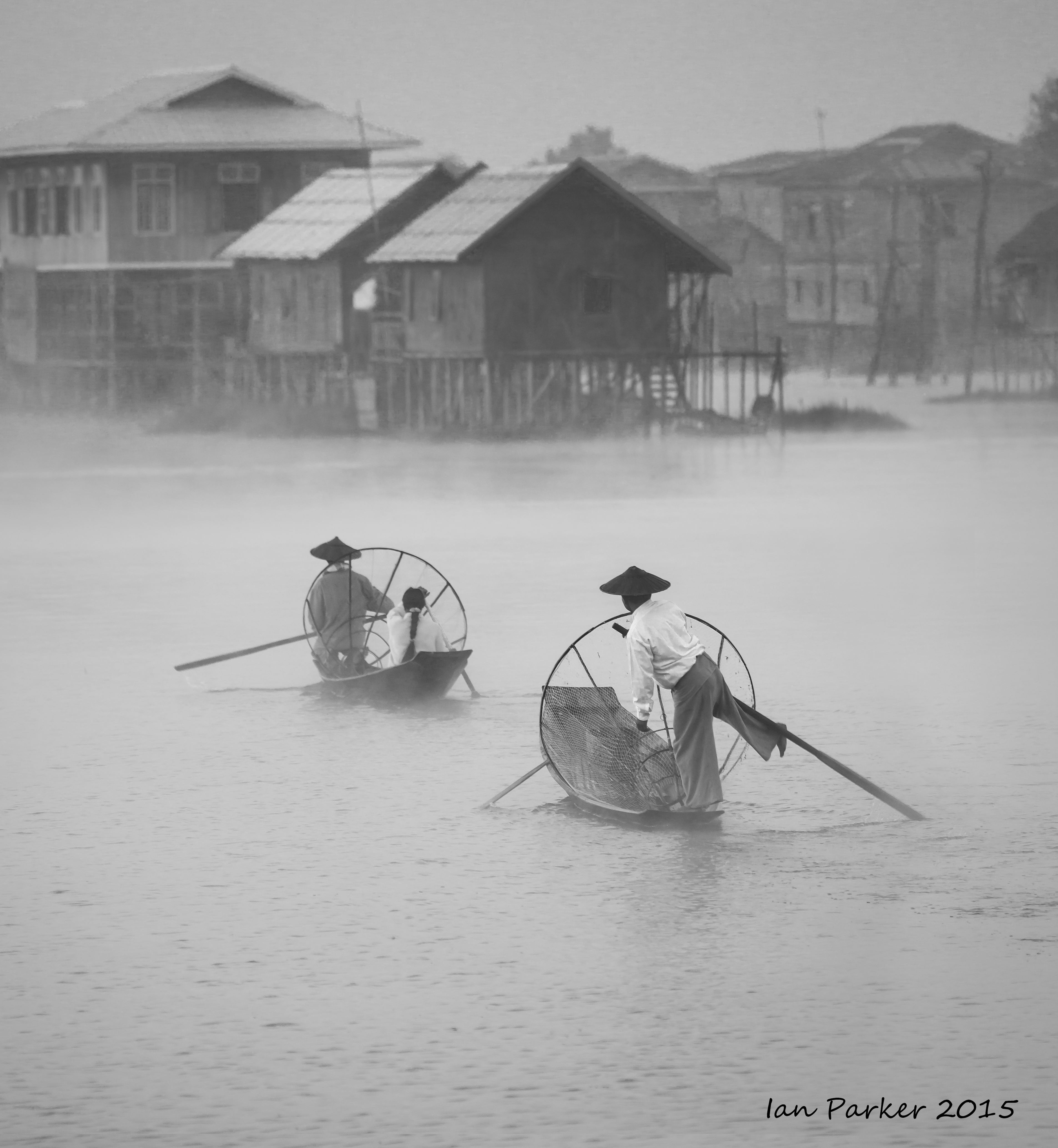
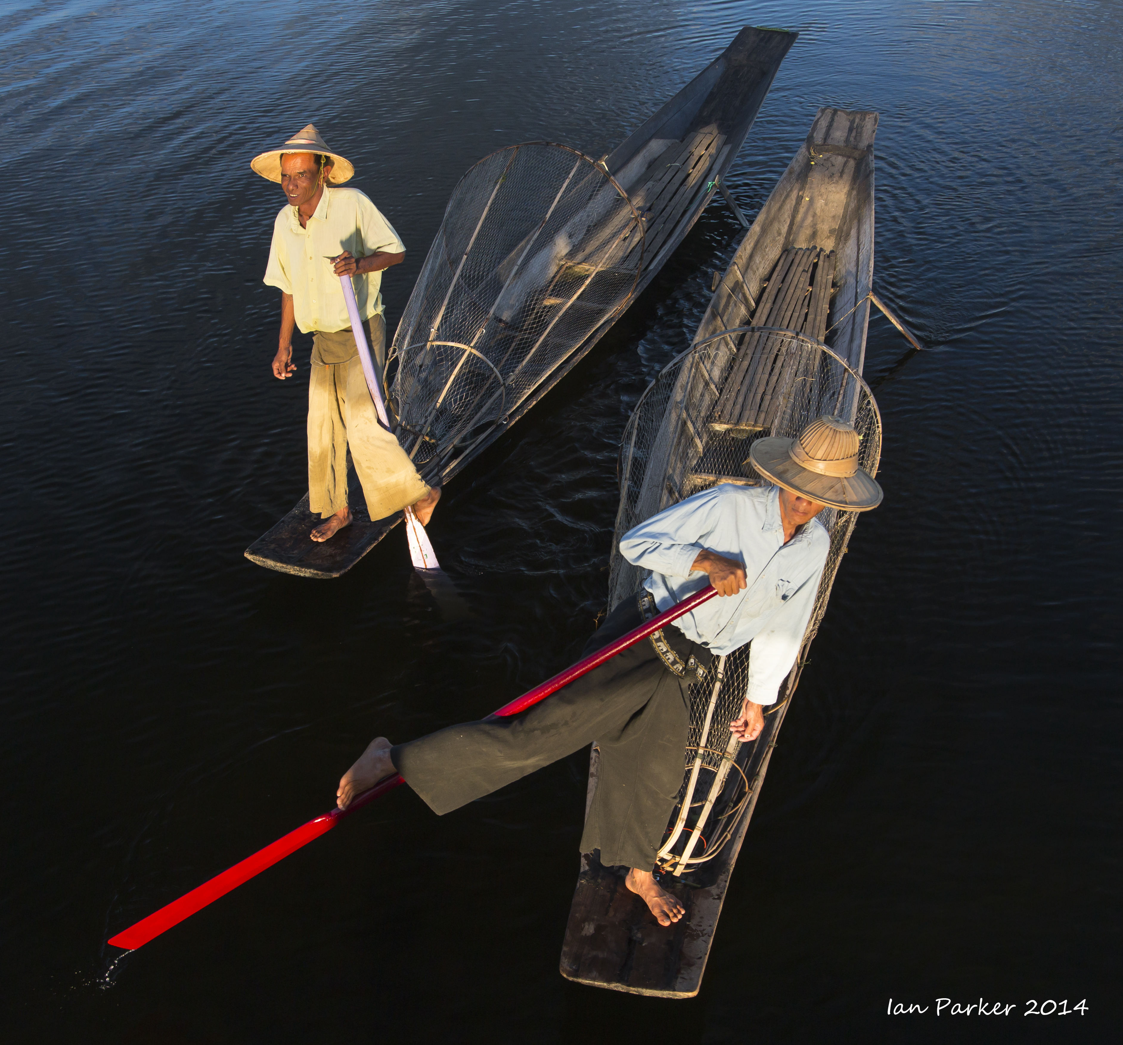
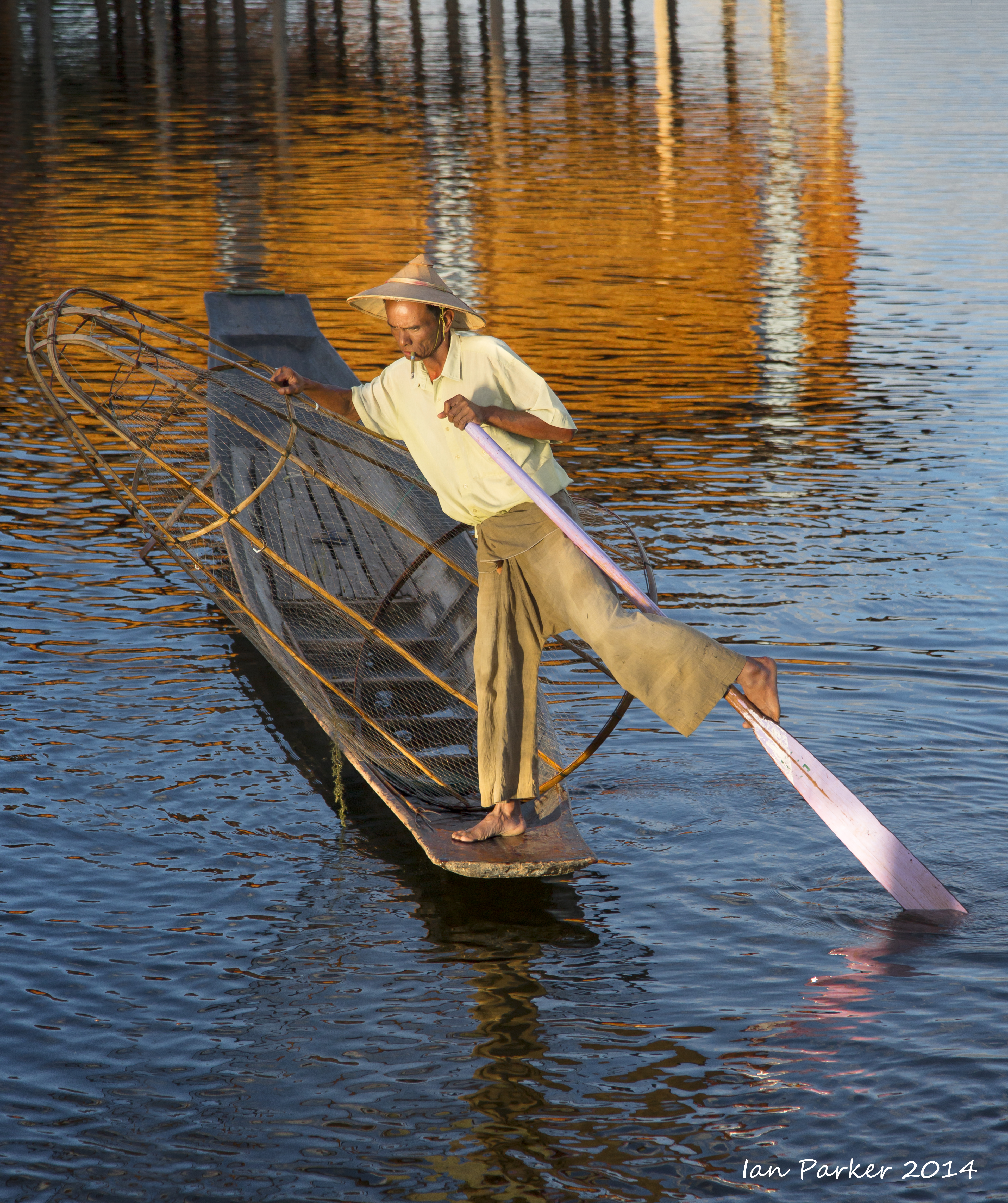
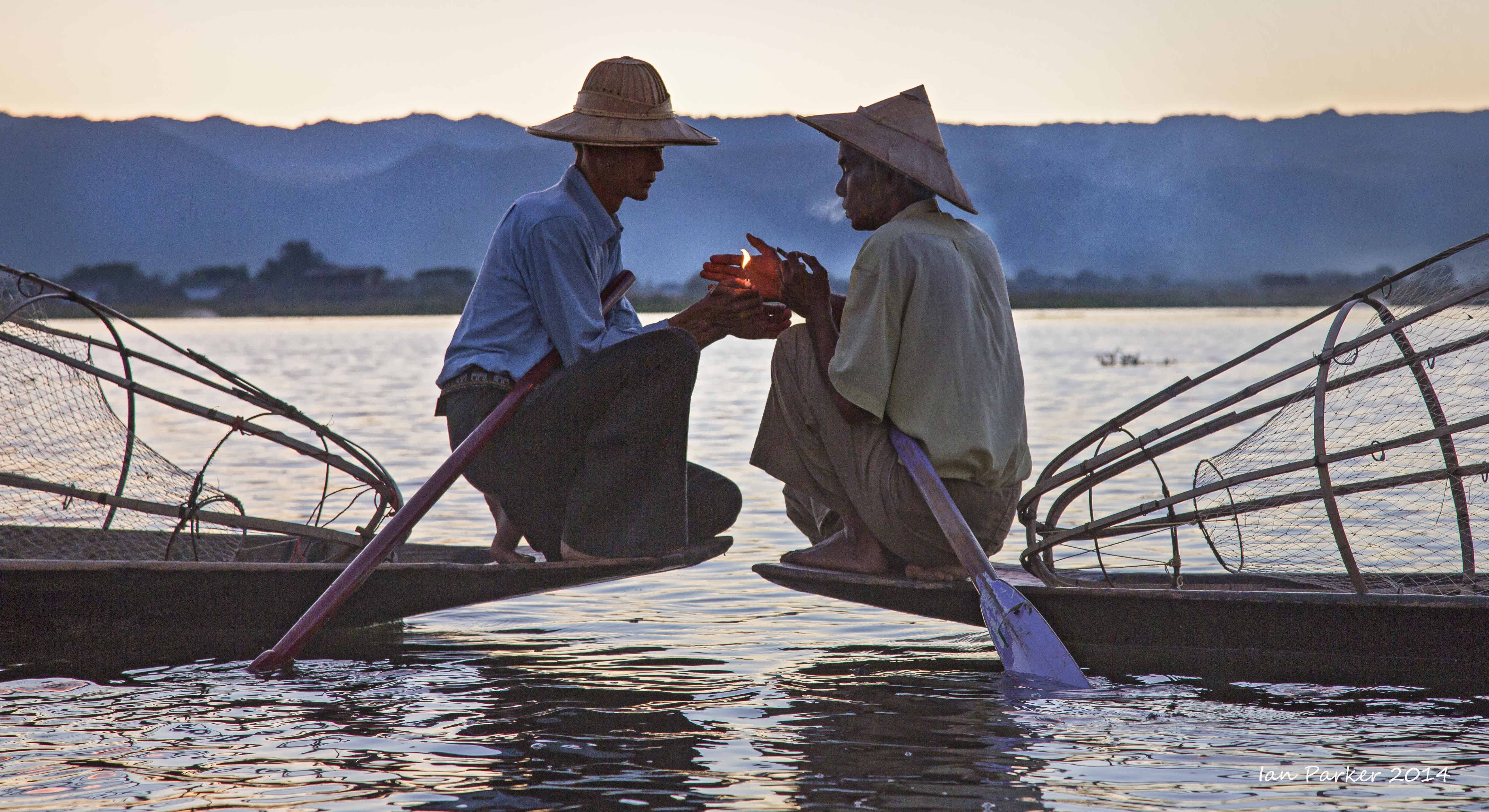
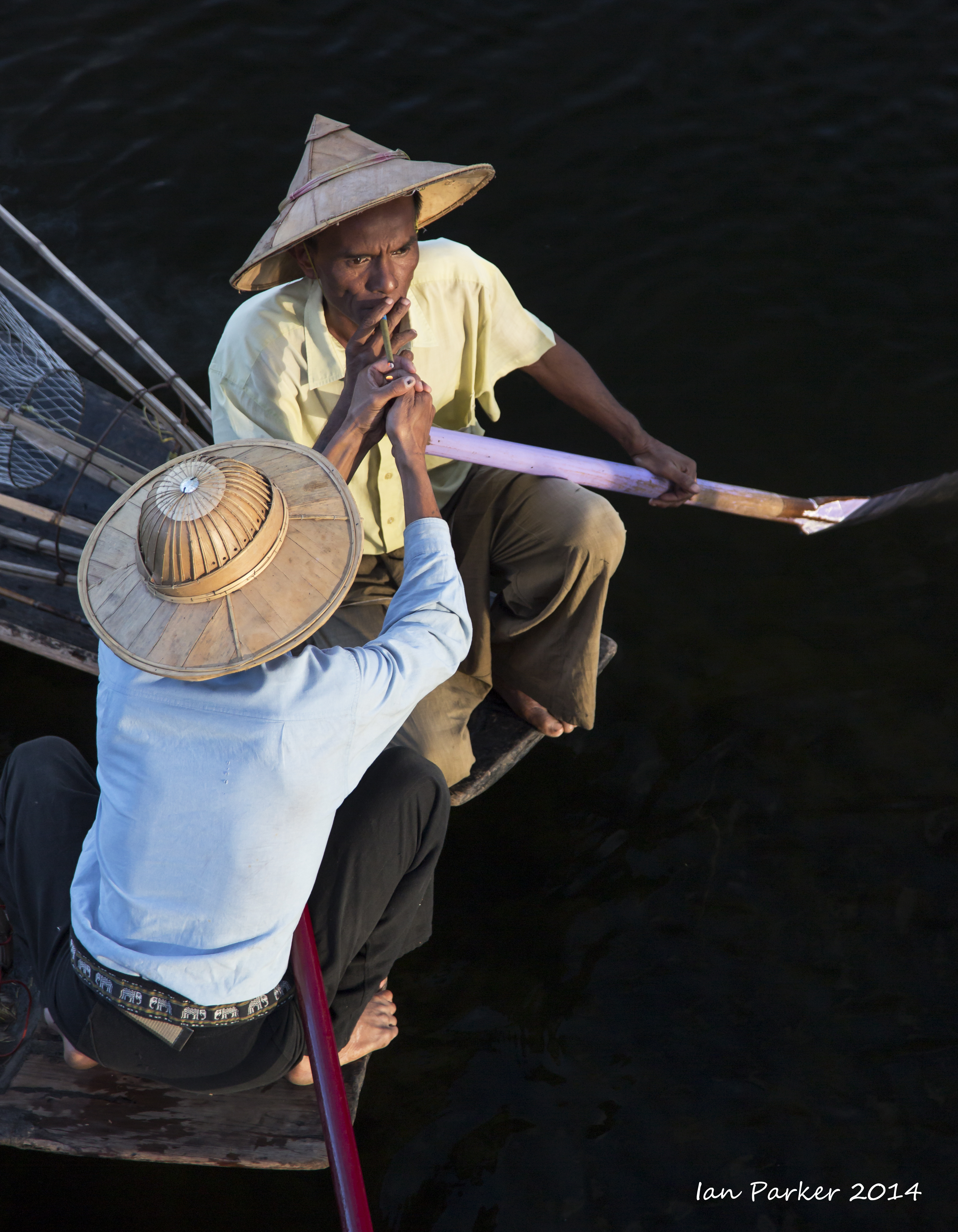
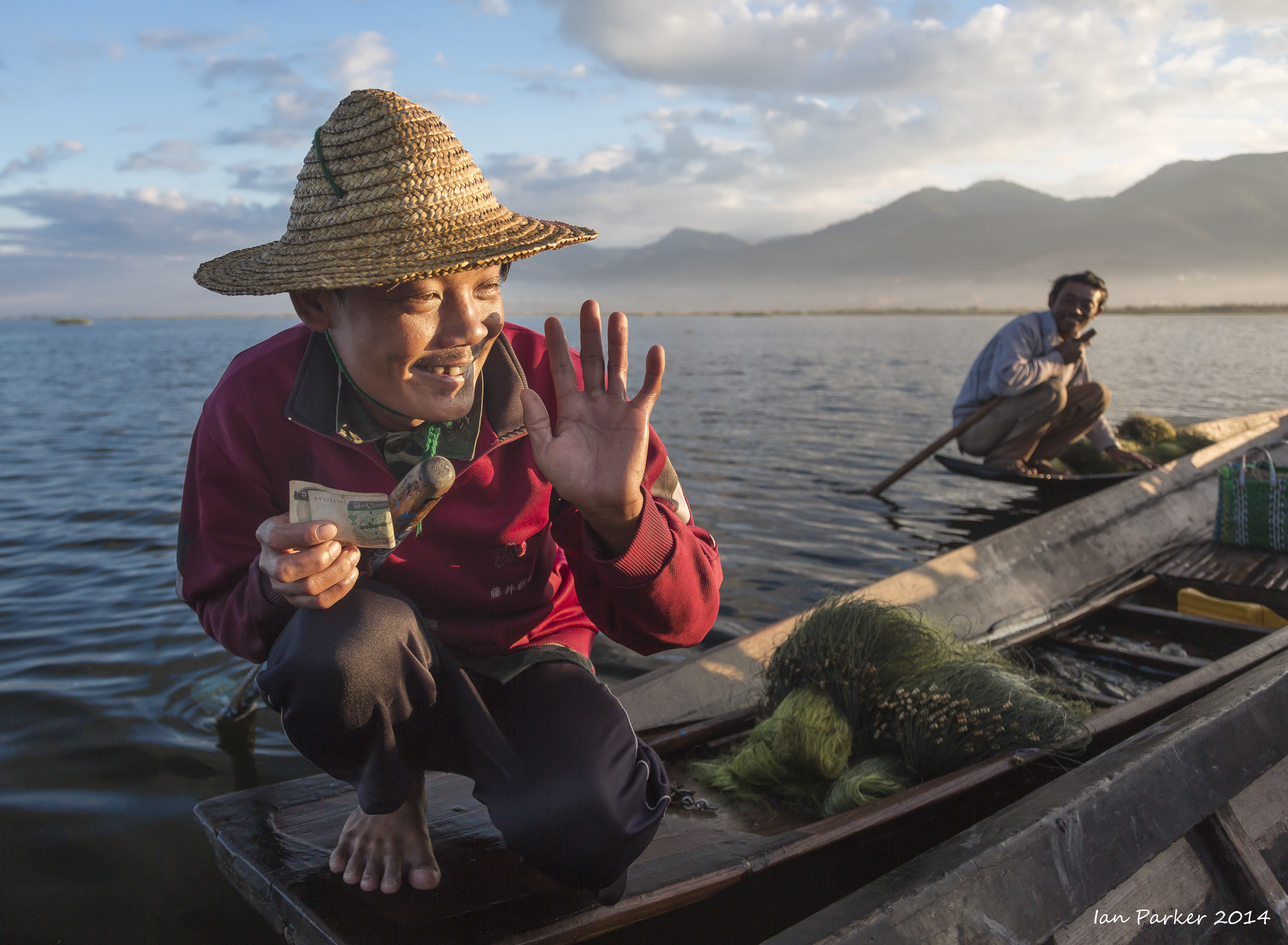
Burma, Dec. 4-7 : Inle Lake fishermen and boatmen
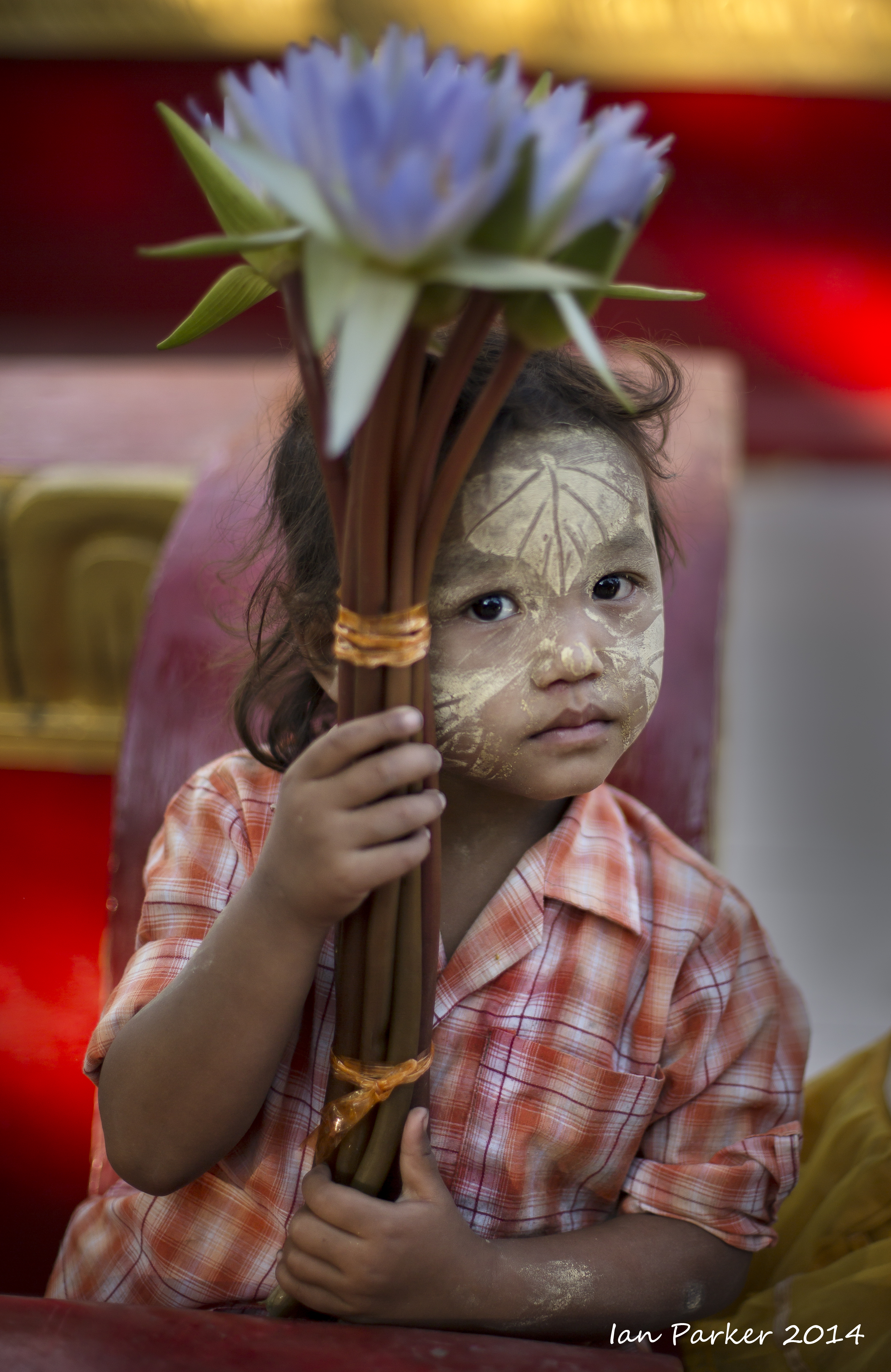
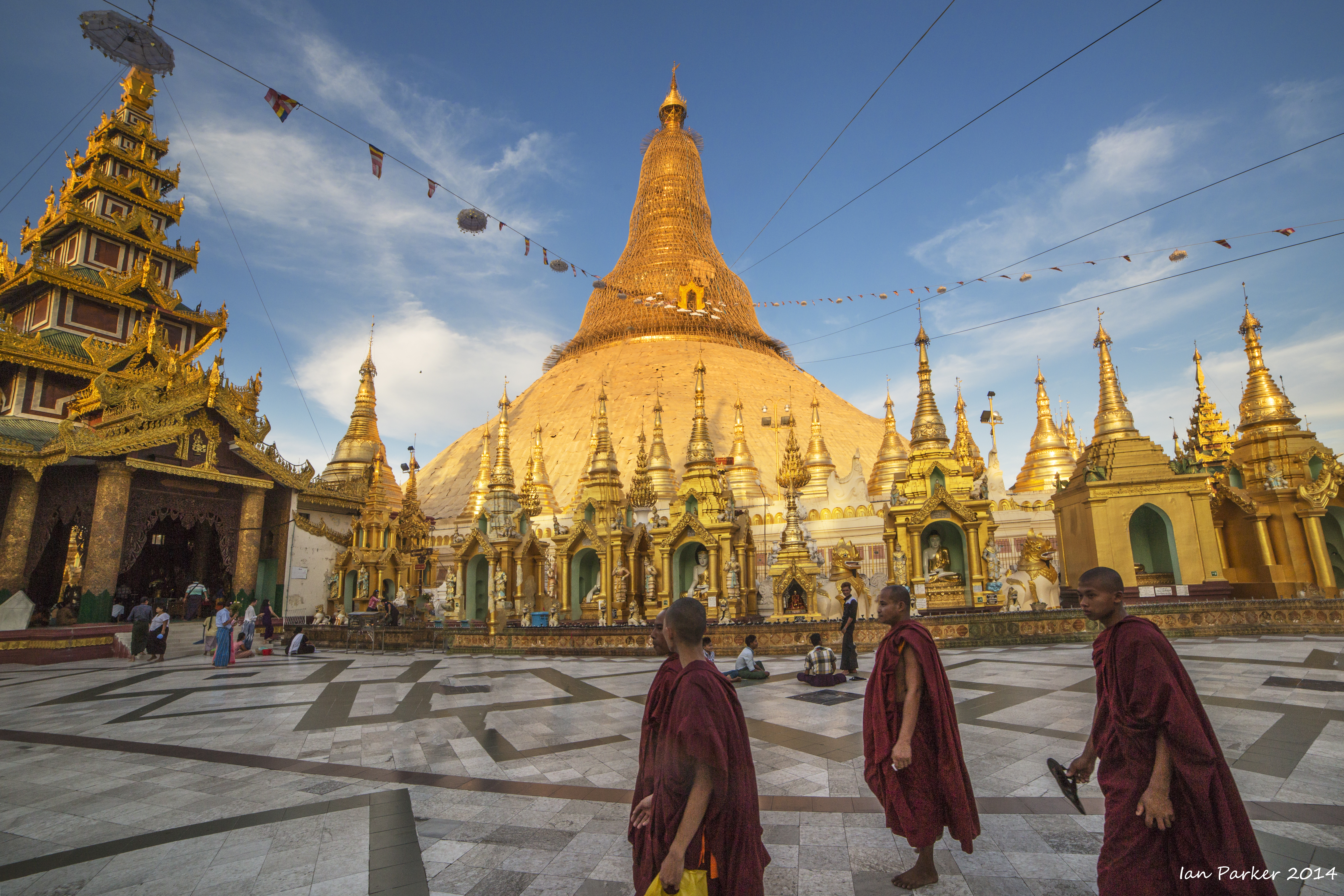
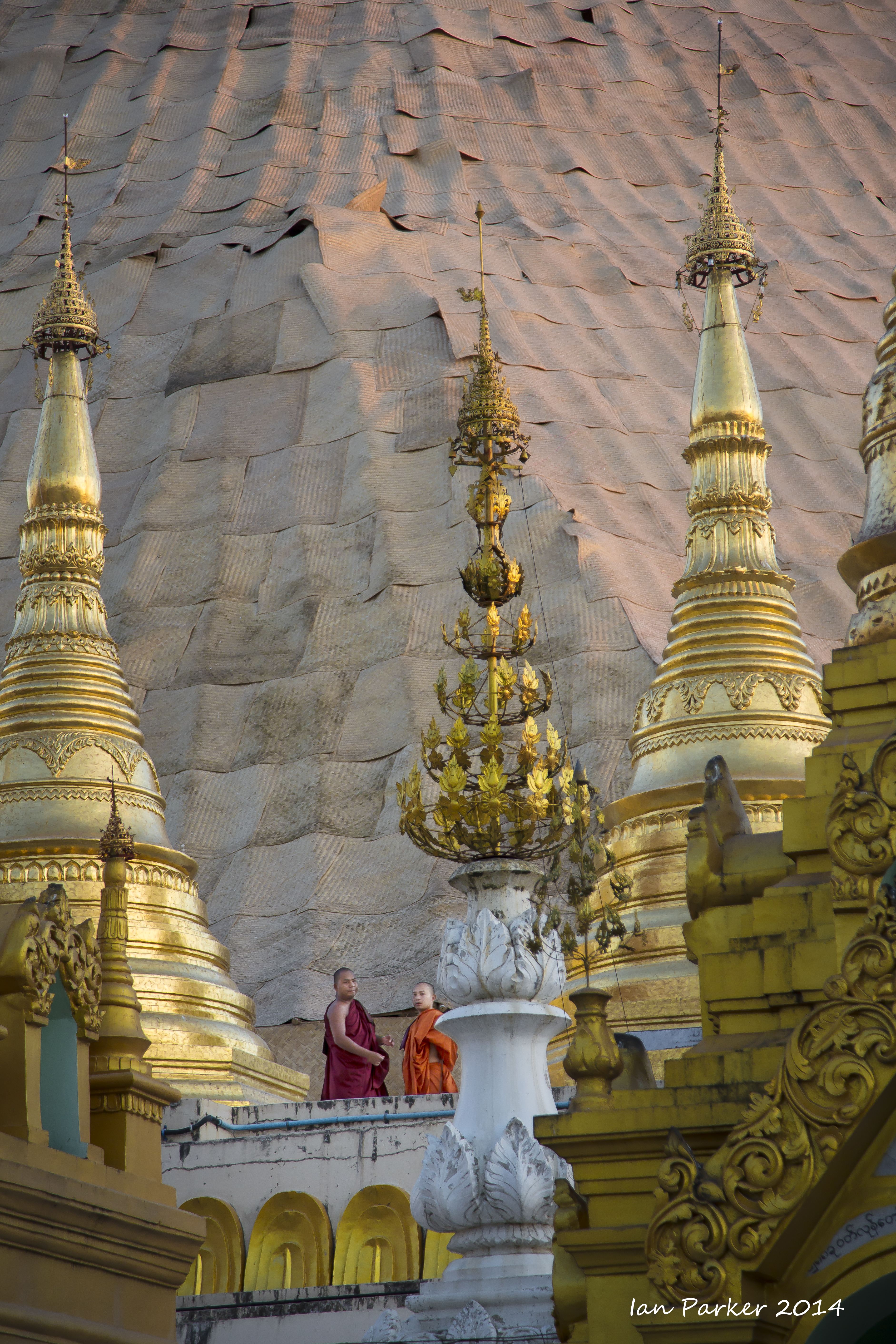
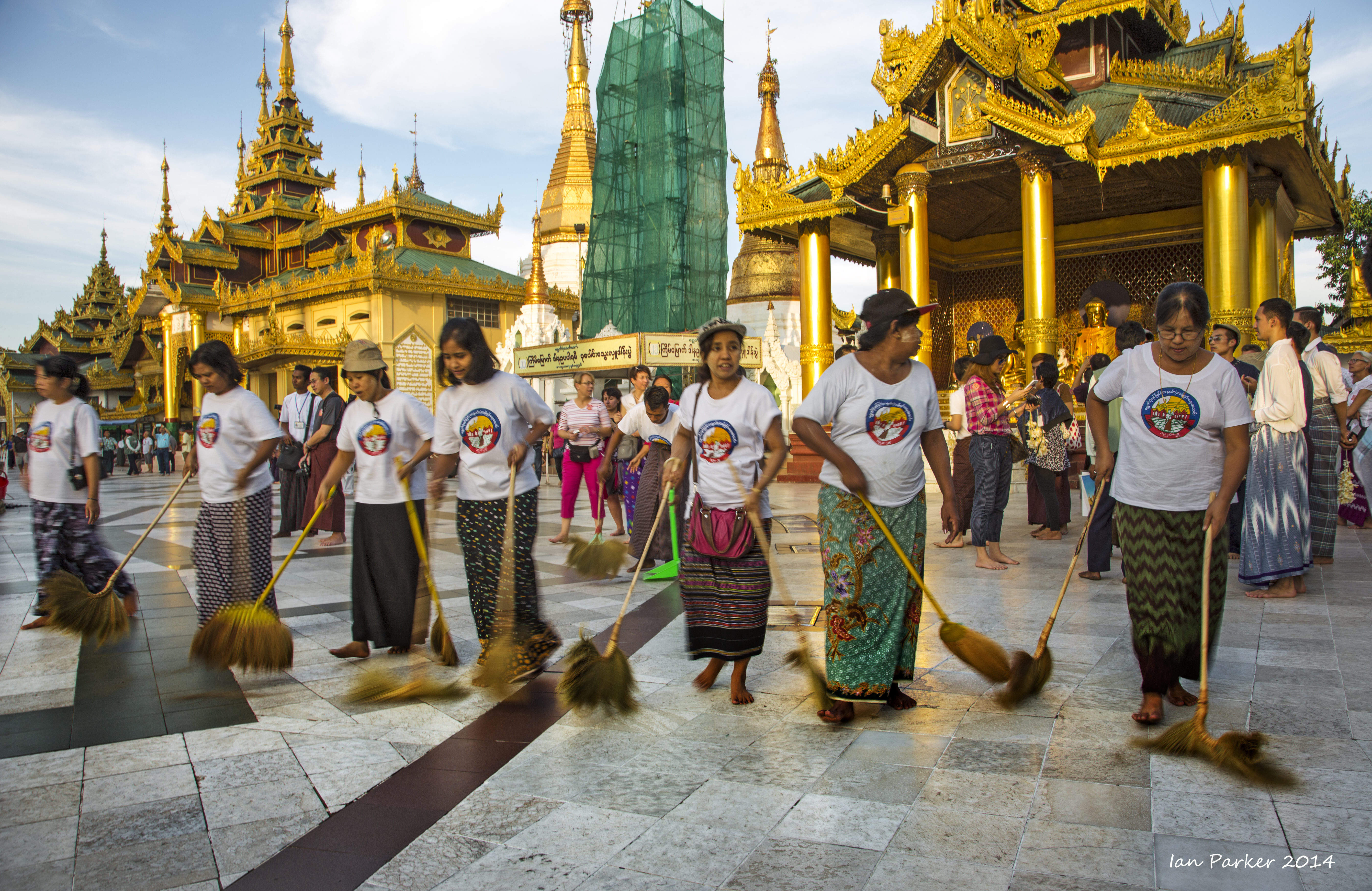
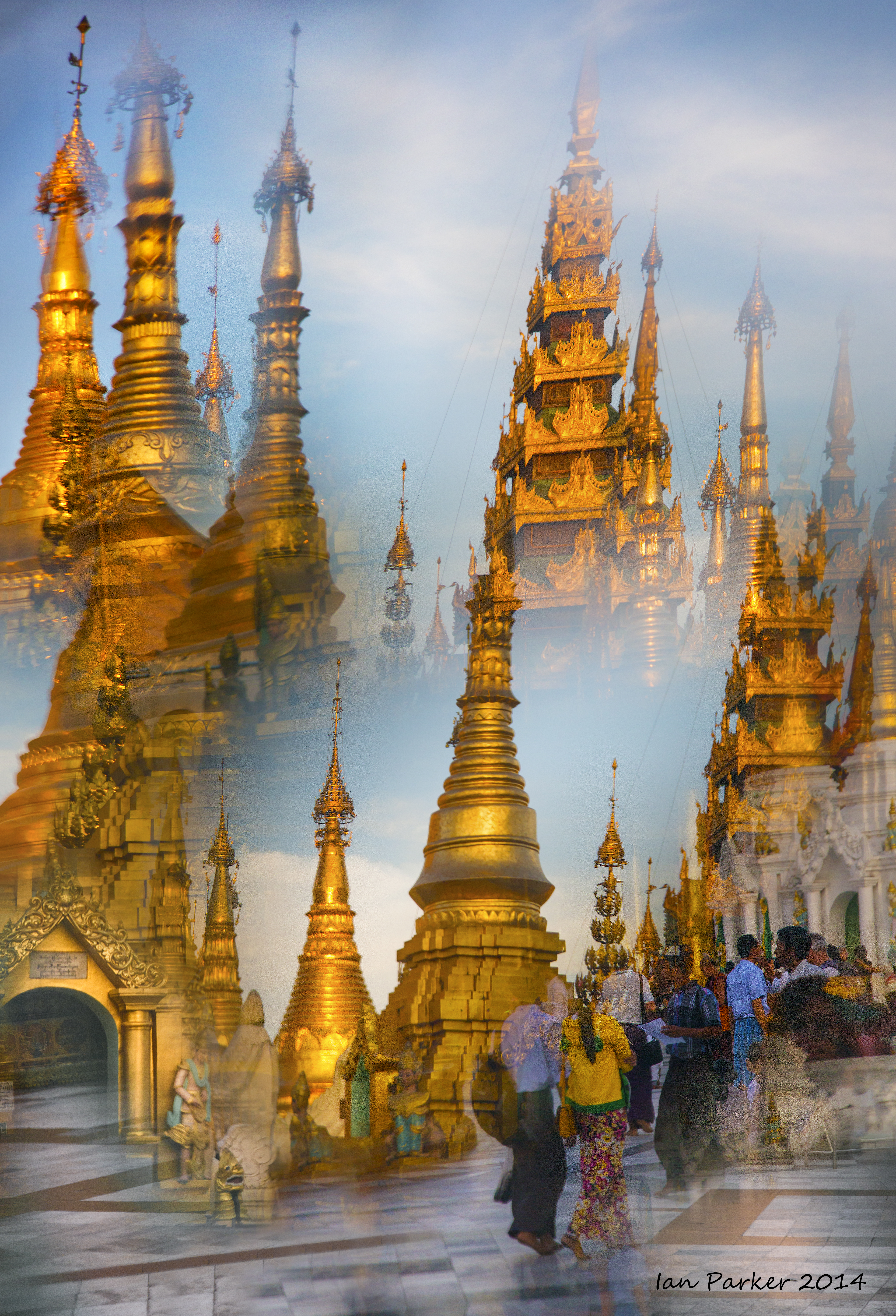
Burma, Dec. 1-3 : Yangon and vicinity
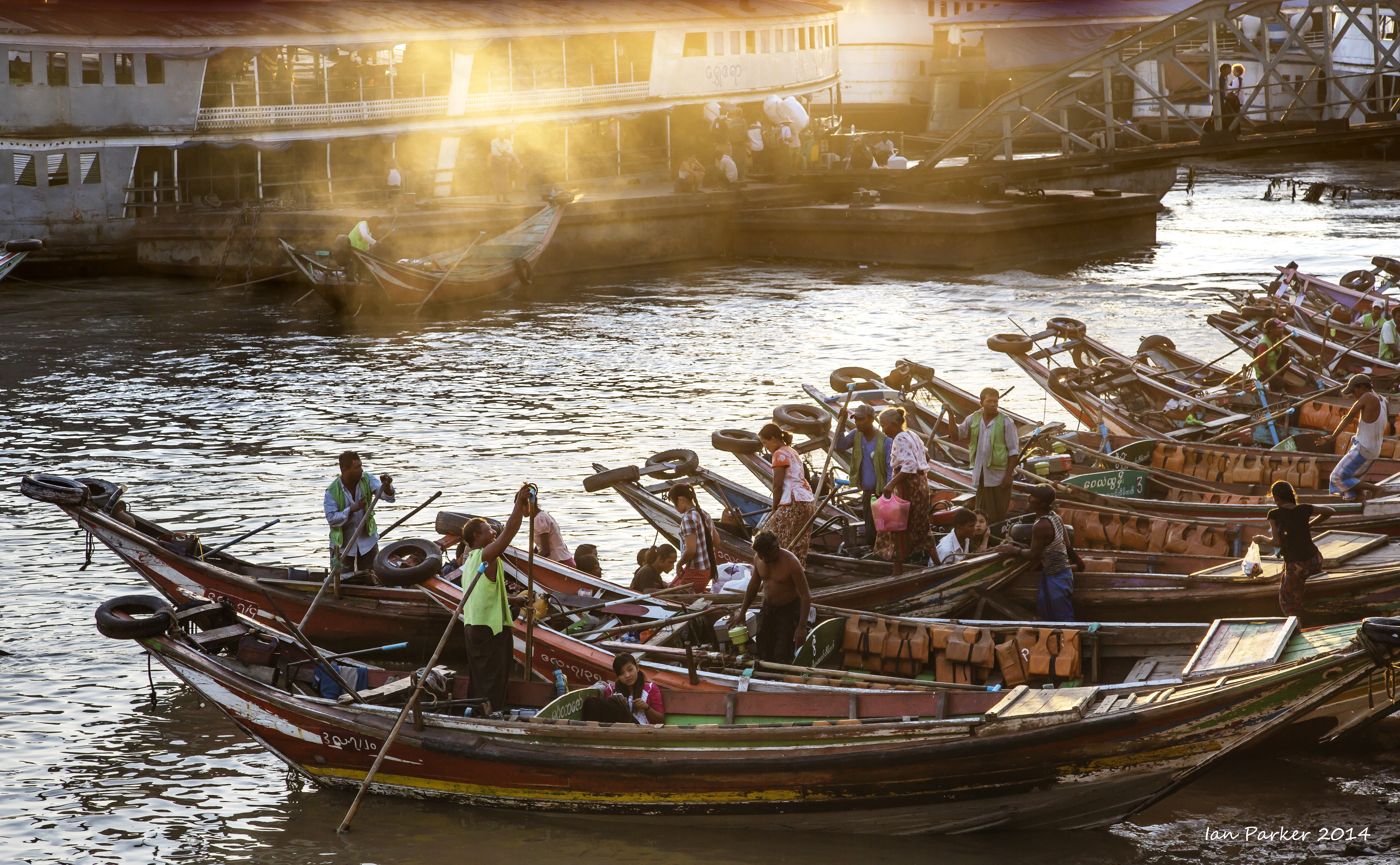
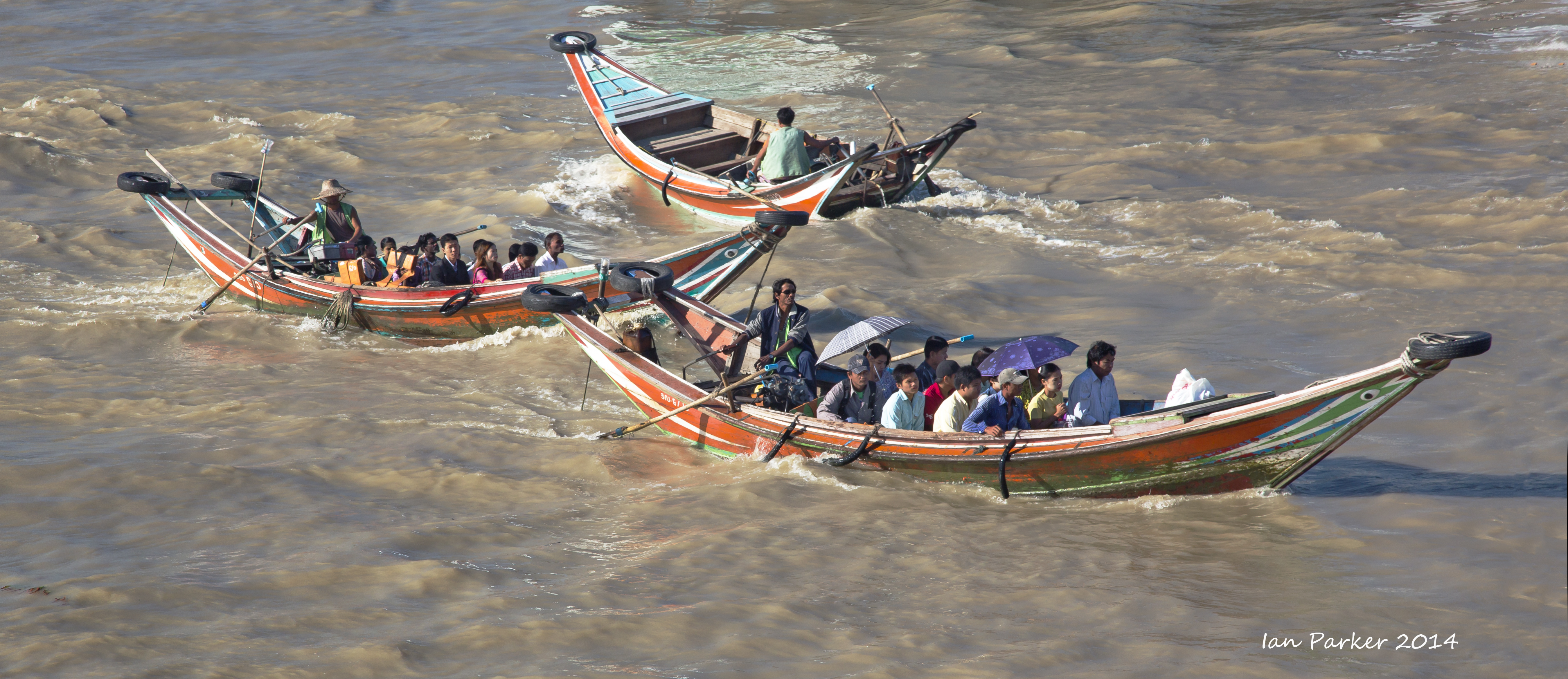
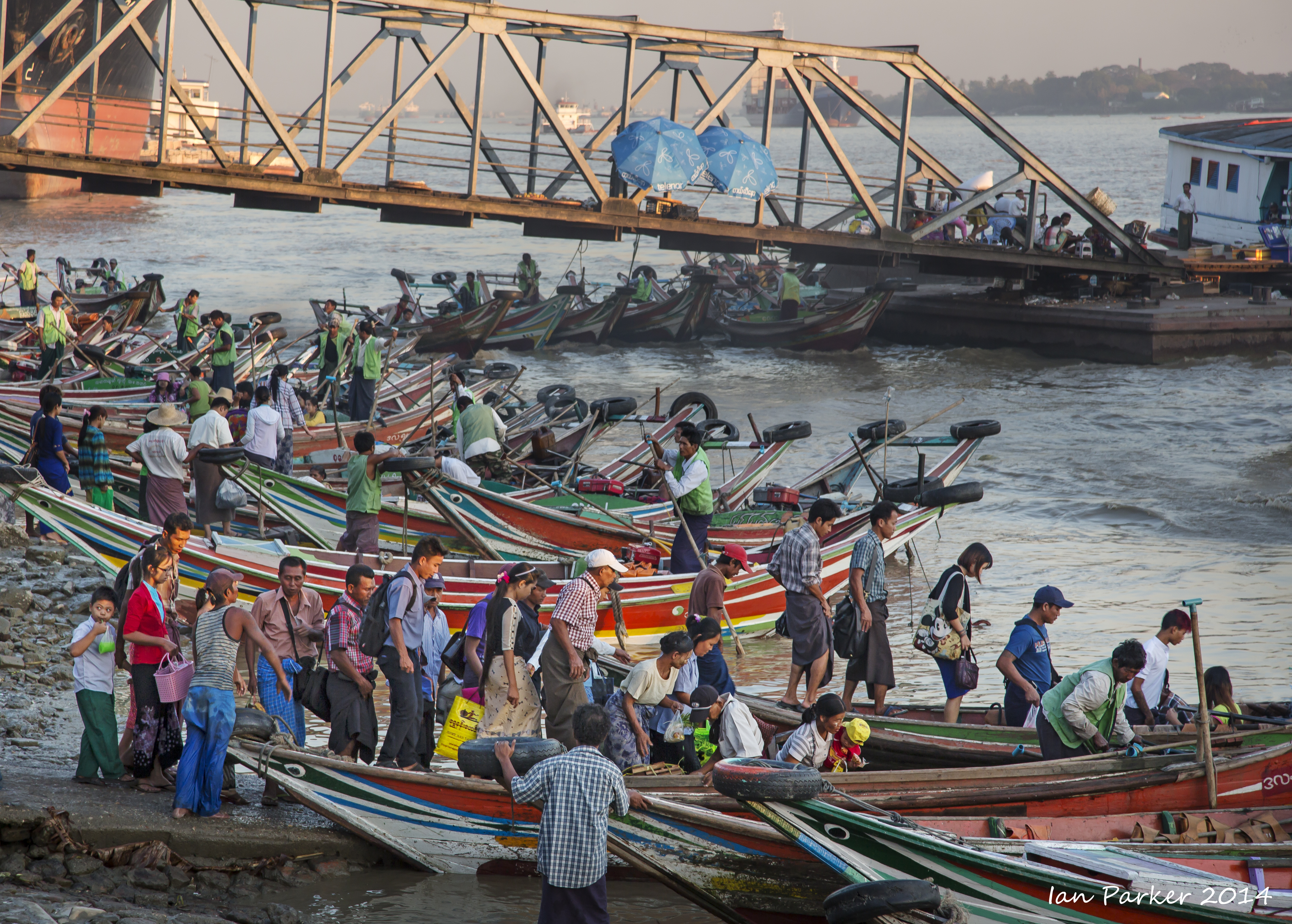
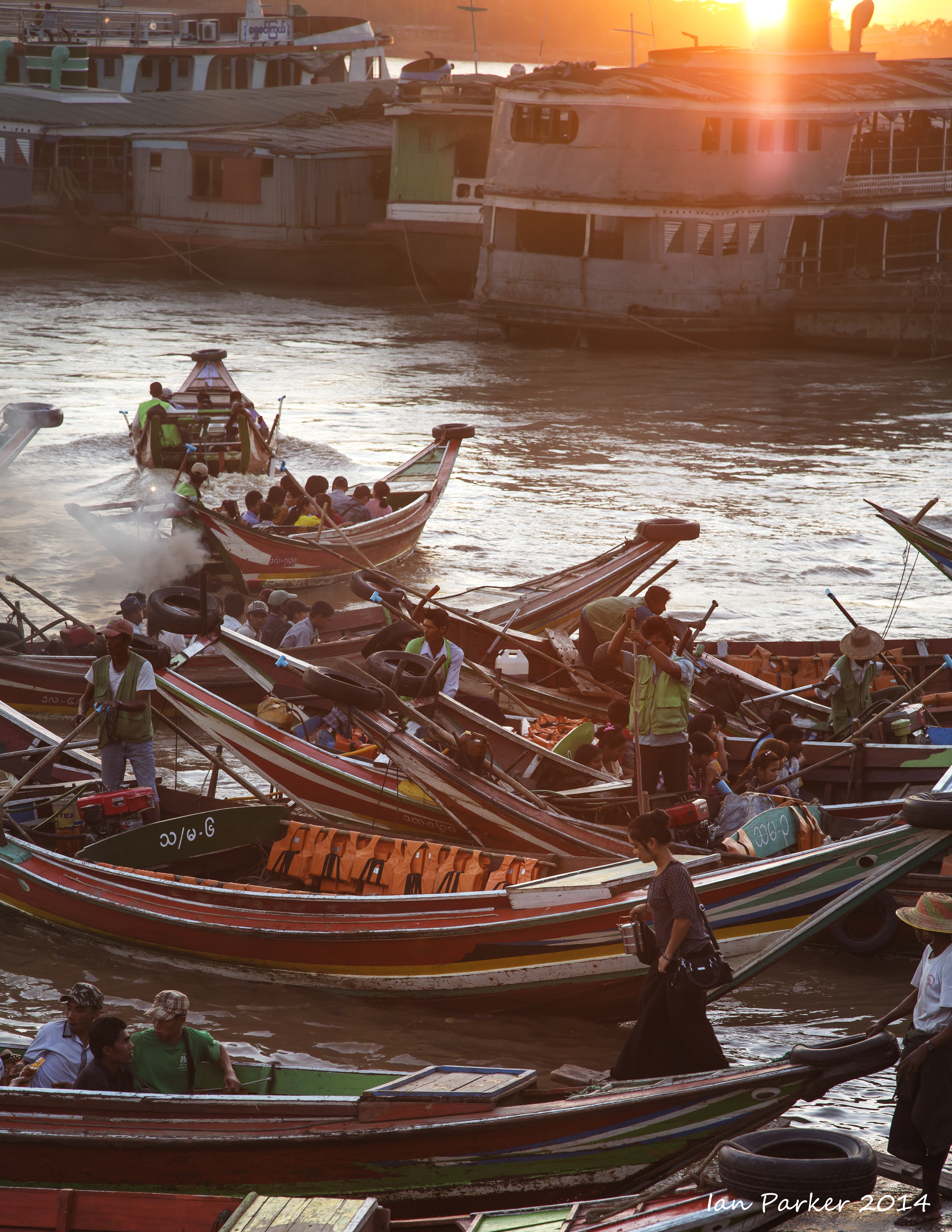
Ferry crossing at the Ayerwaddy River, Yangon
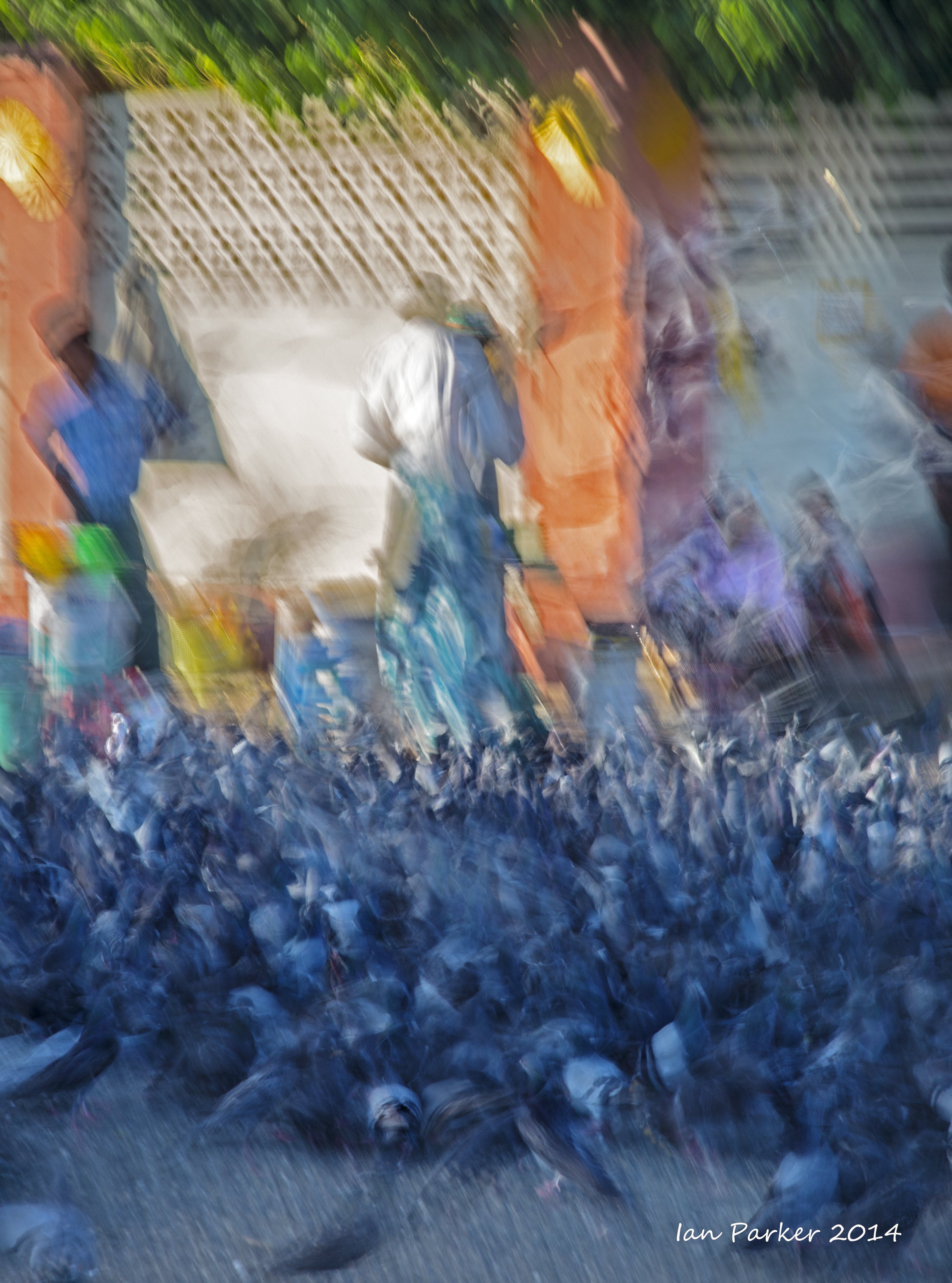
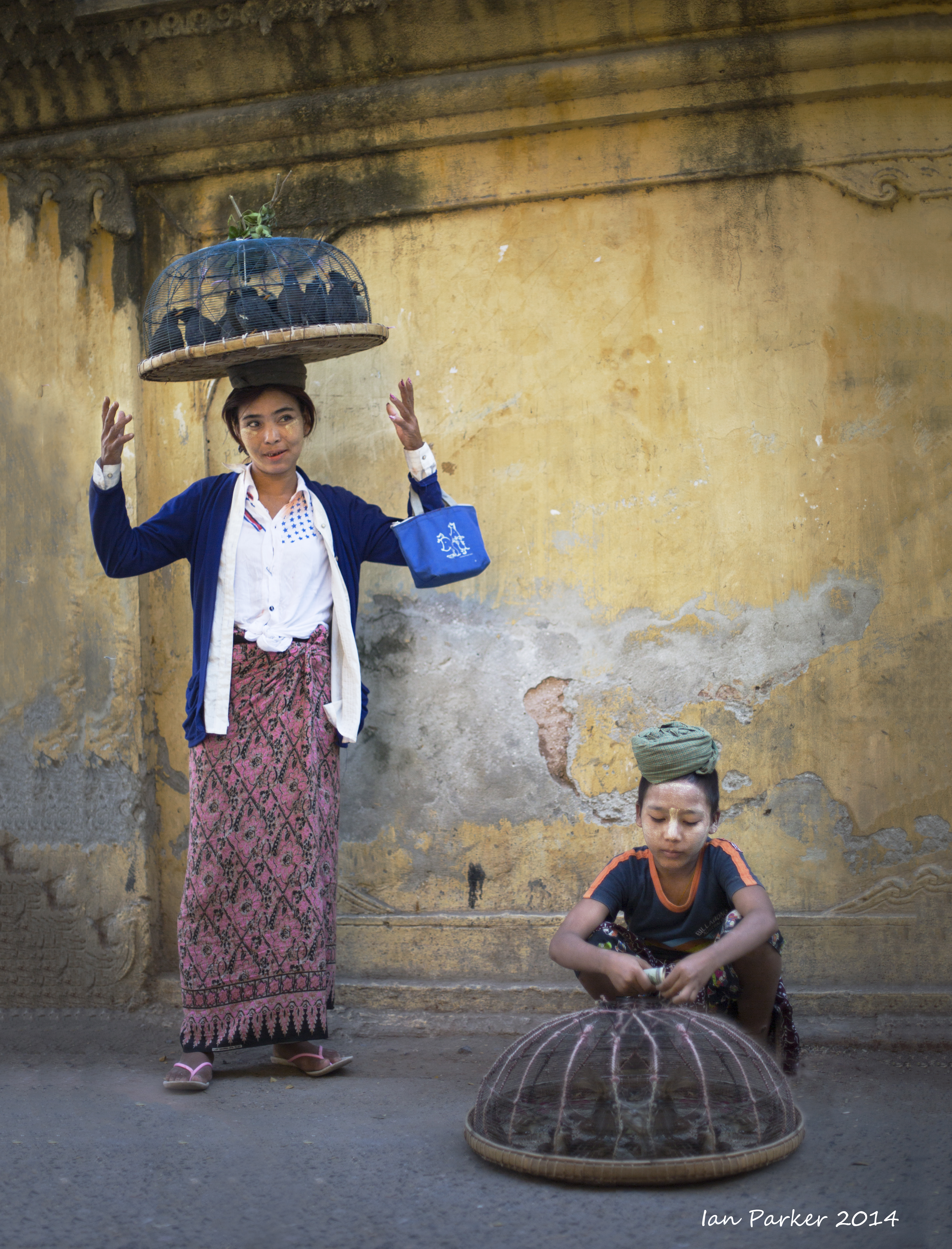
Street market, Yangon
An excursion from Yangon
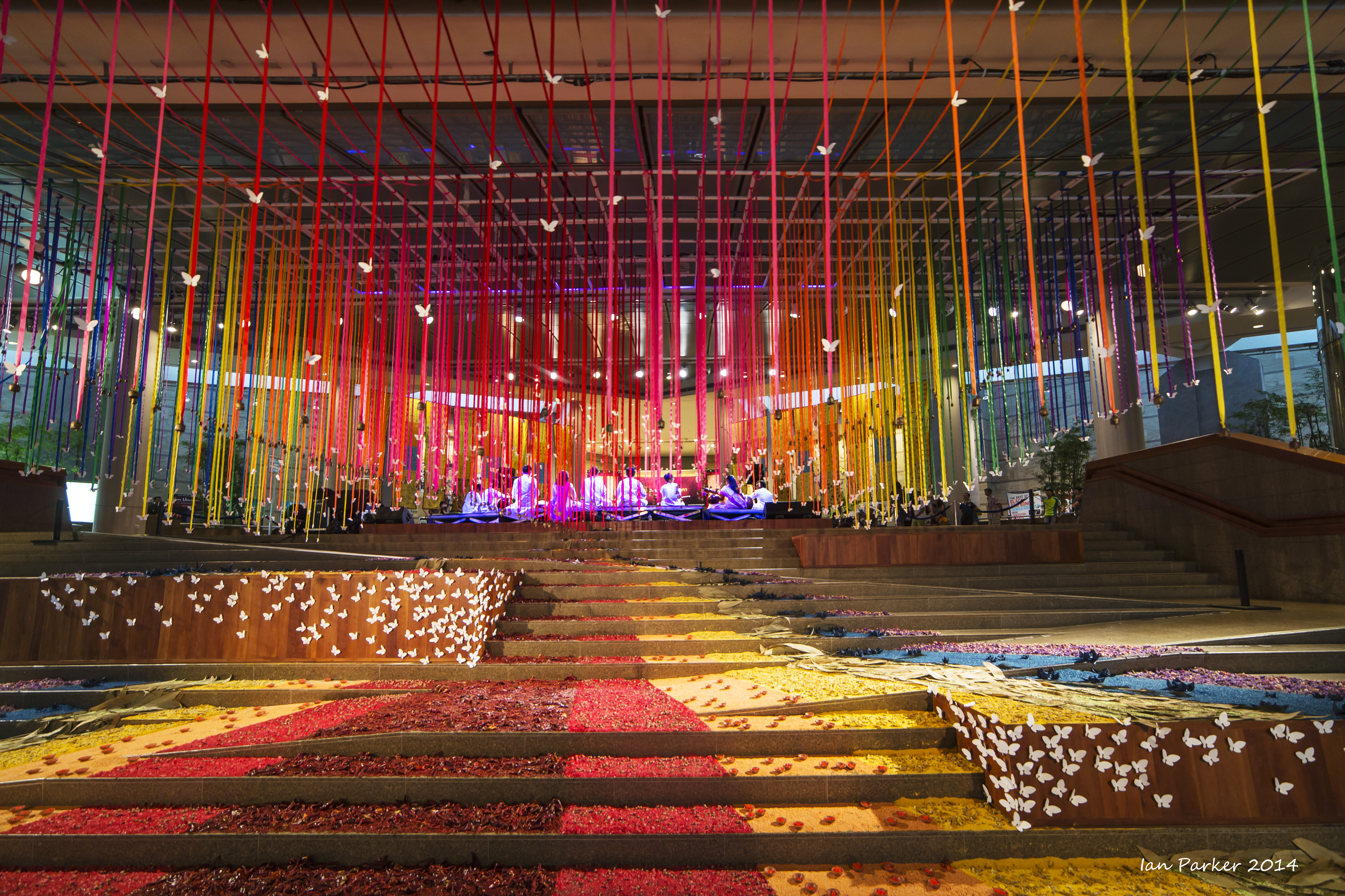
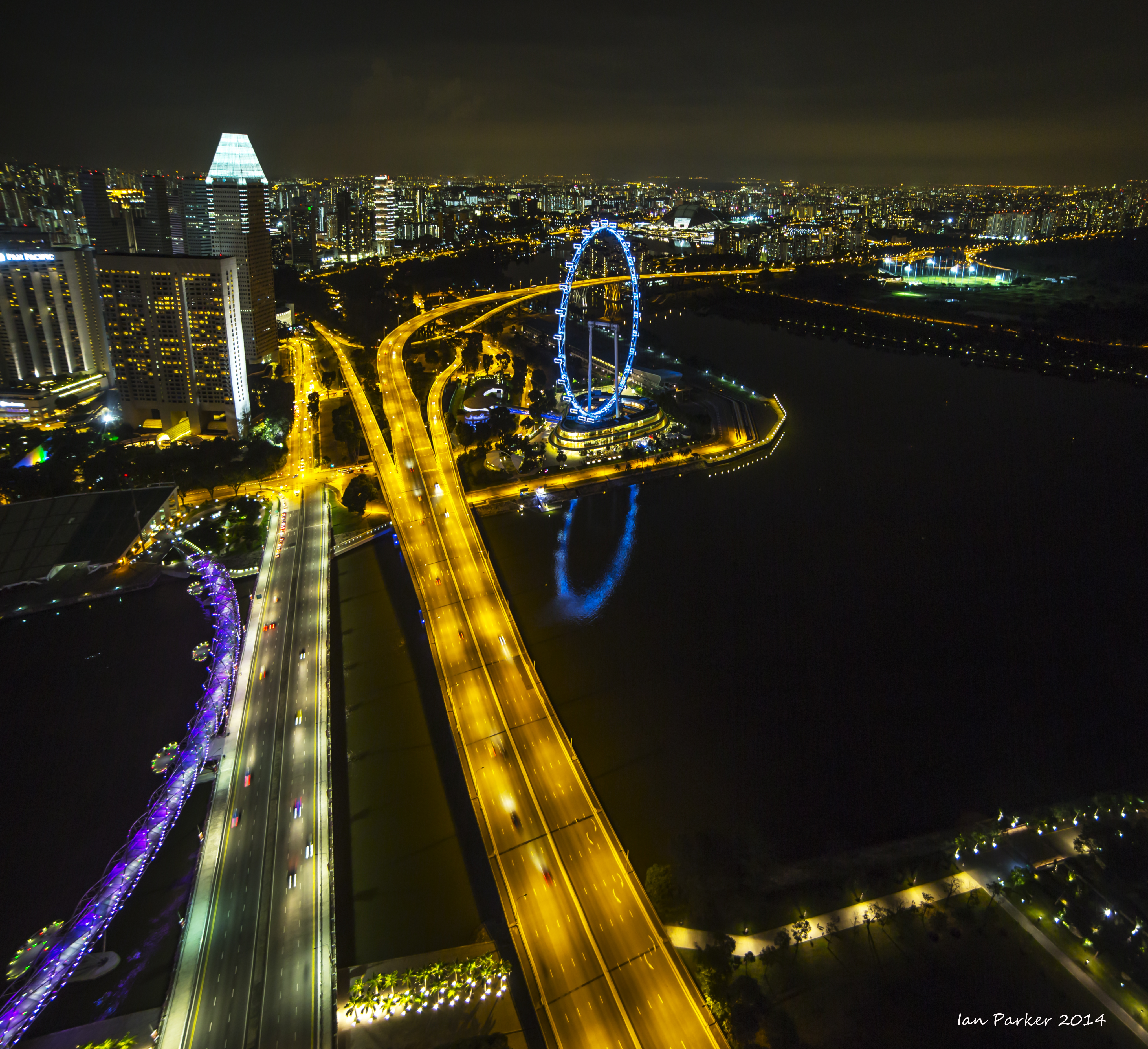
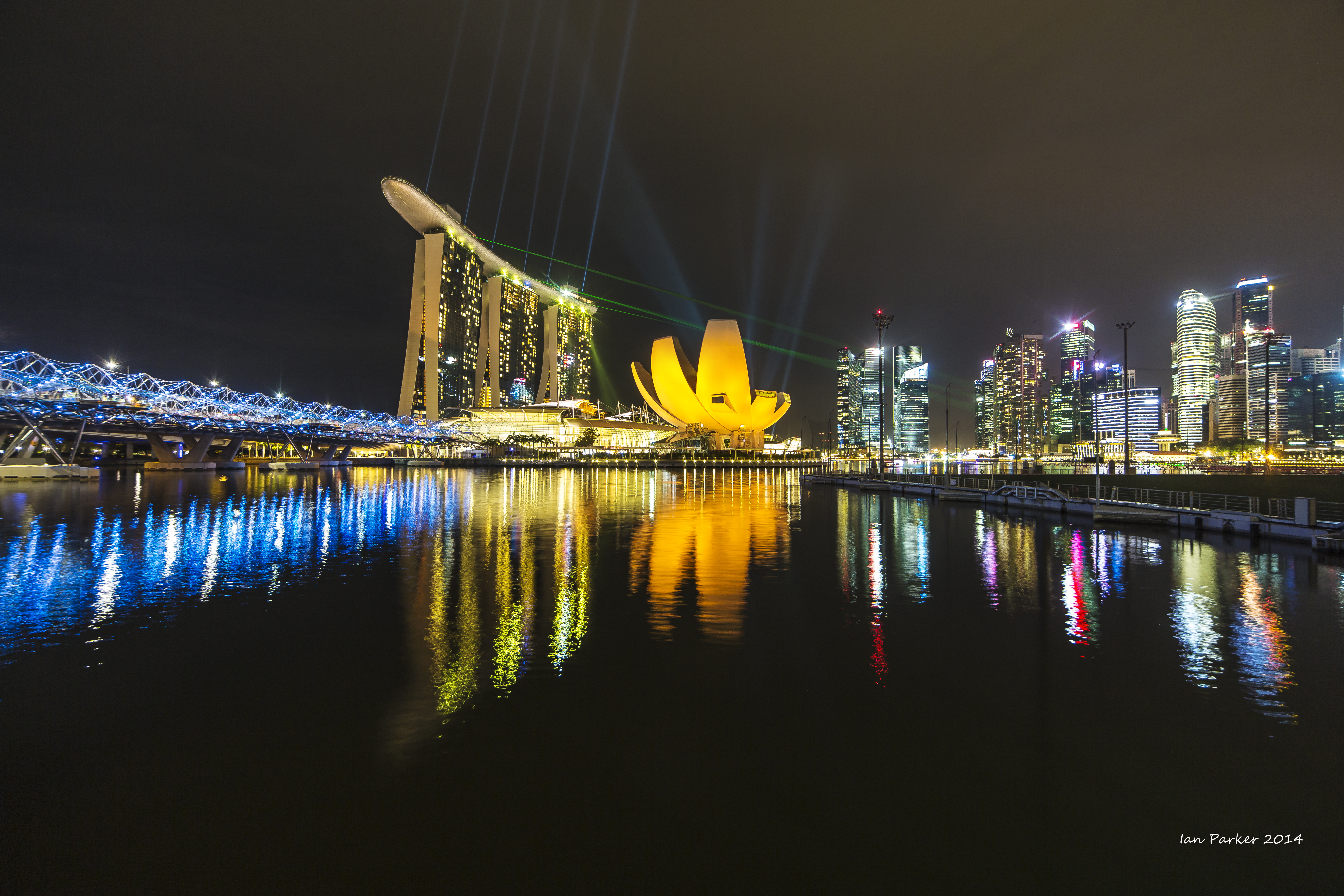
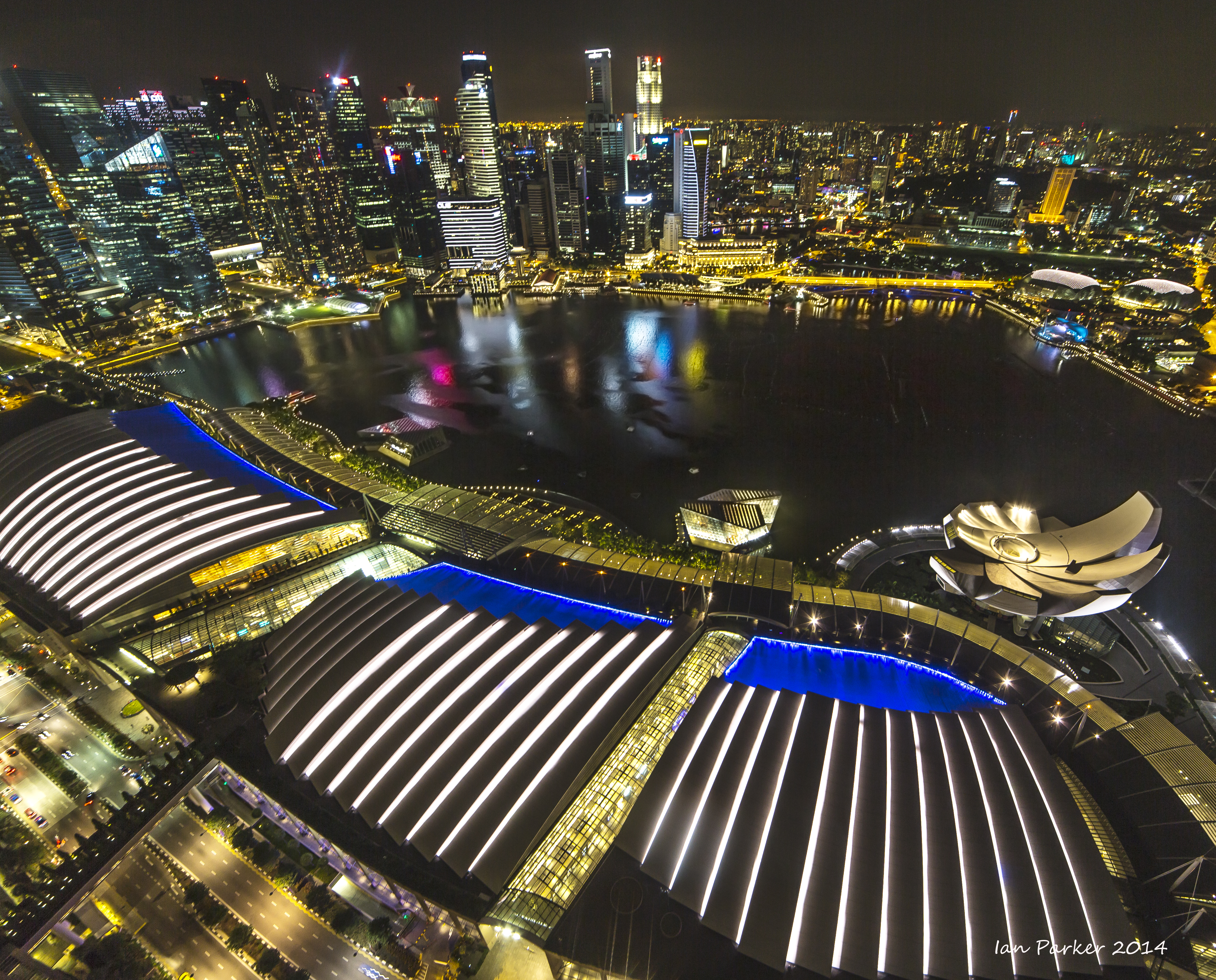
Singapore, Nov. 28-30
An interlude motivated more by the opportunity to sample hawker food than photography, but some nice shots from the Botanical Gardens and night photography at Marina Bay.
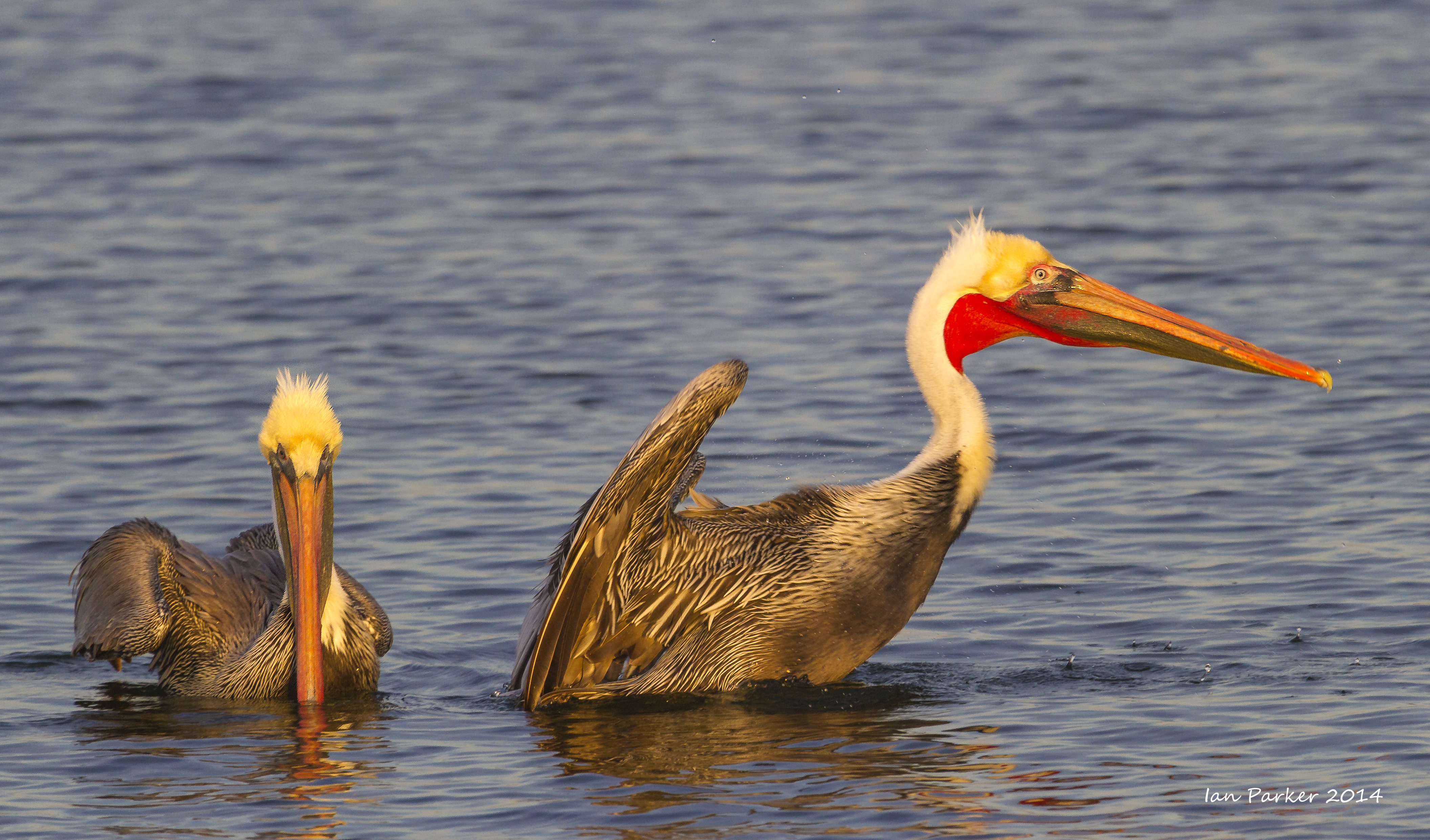
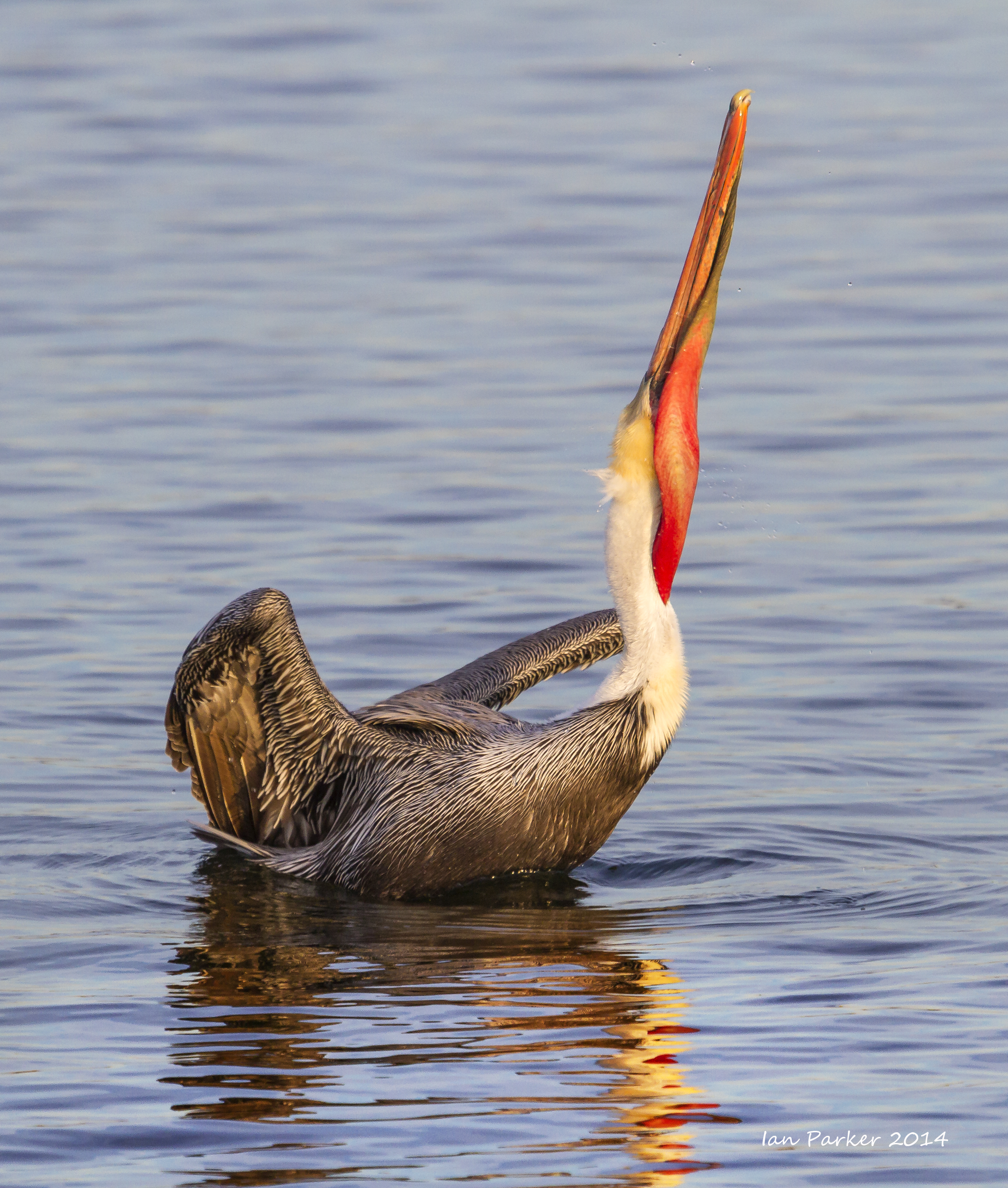
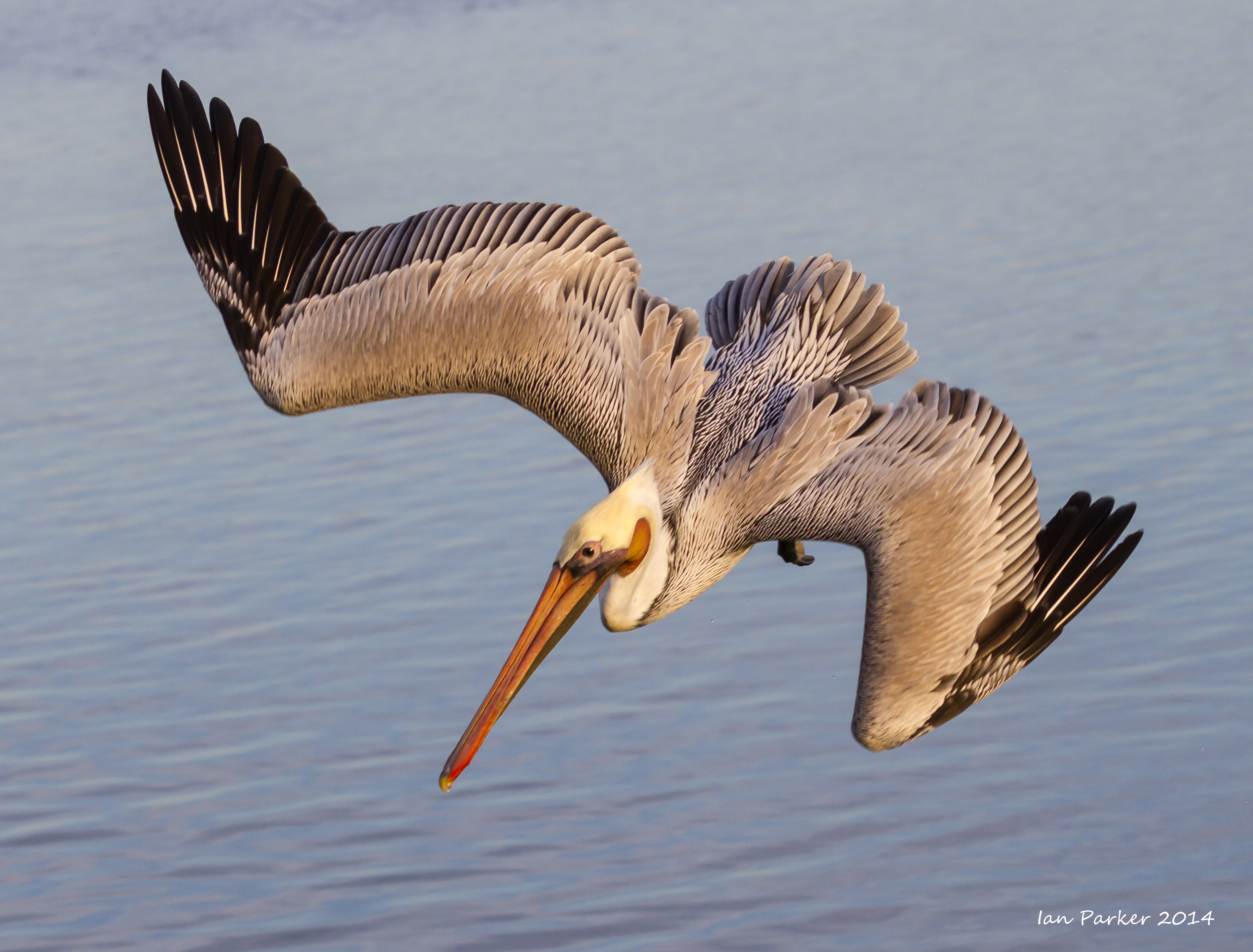
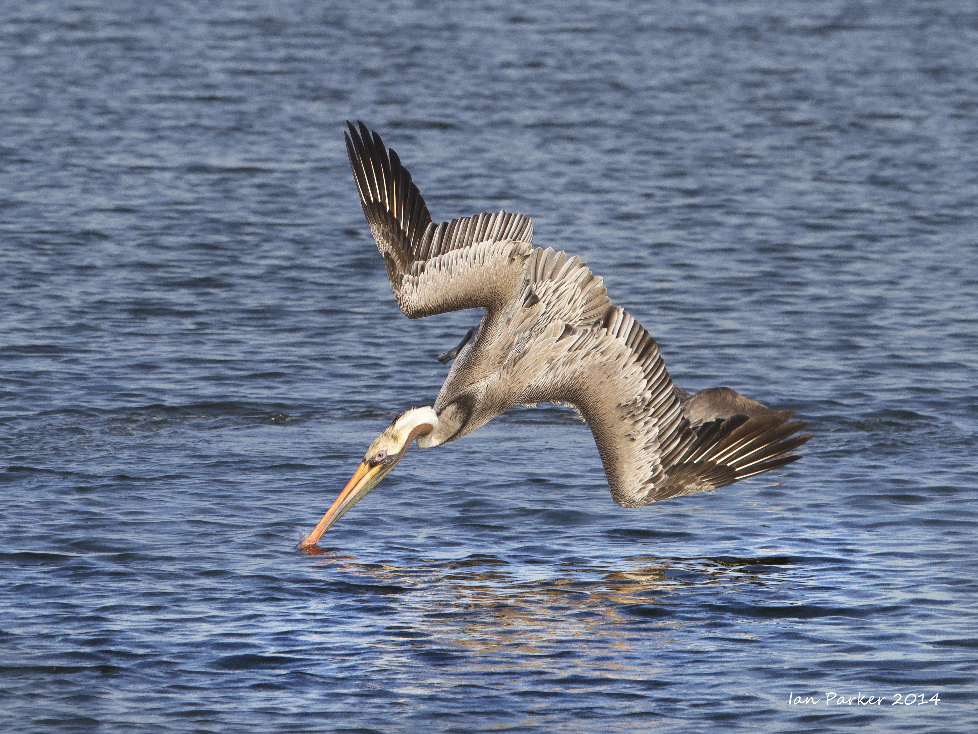
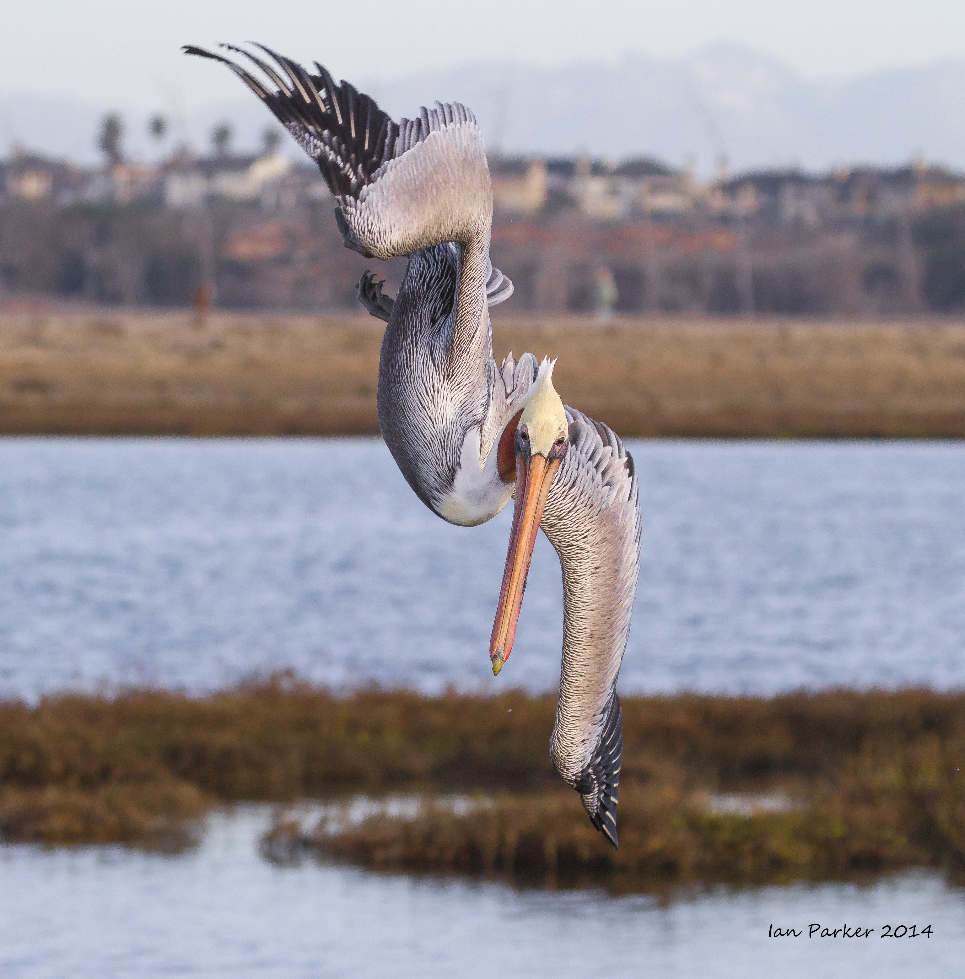
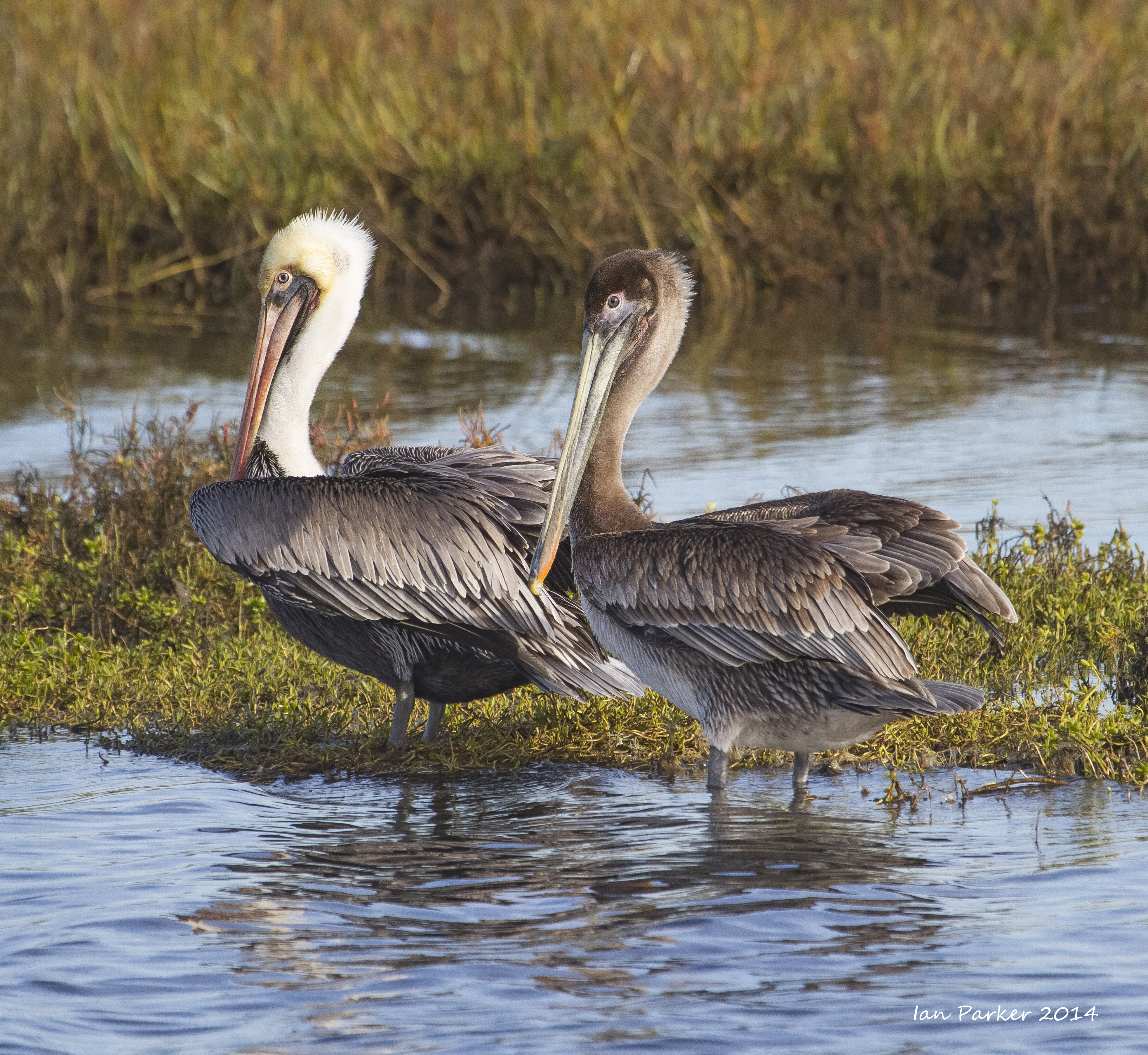
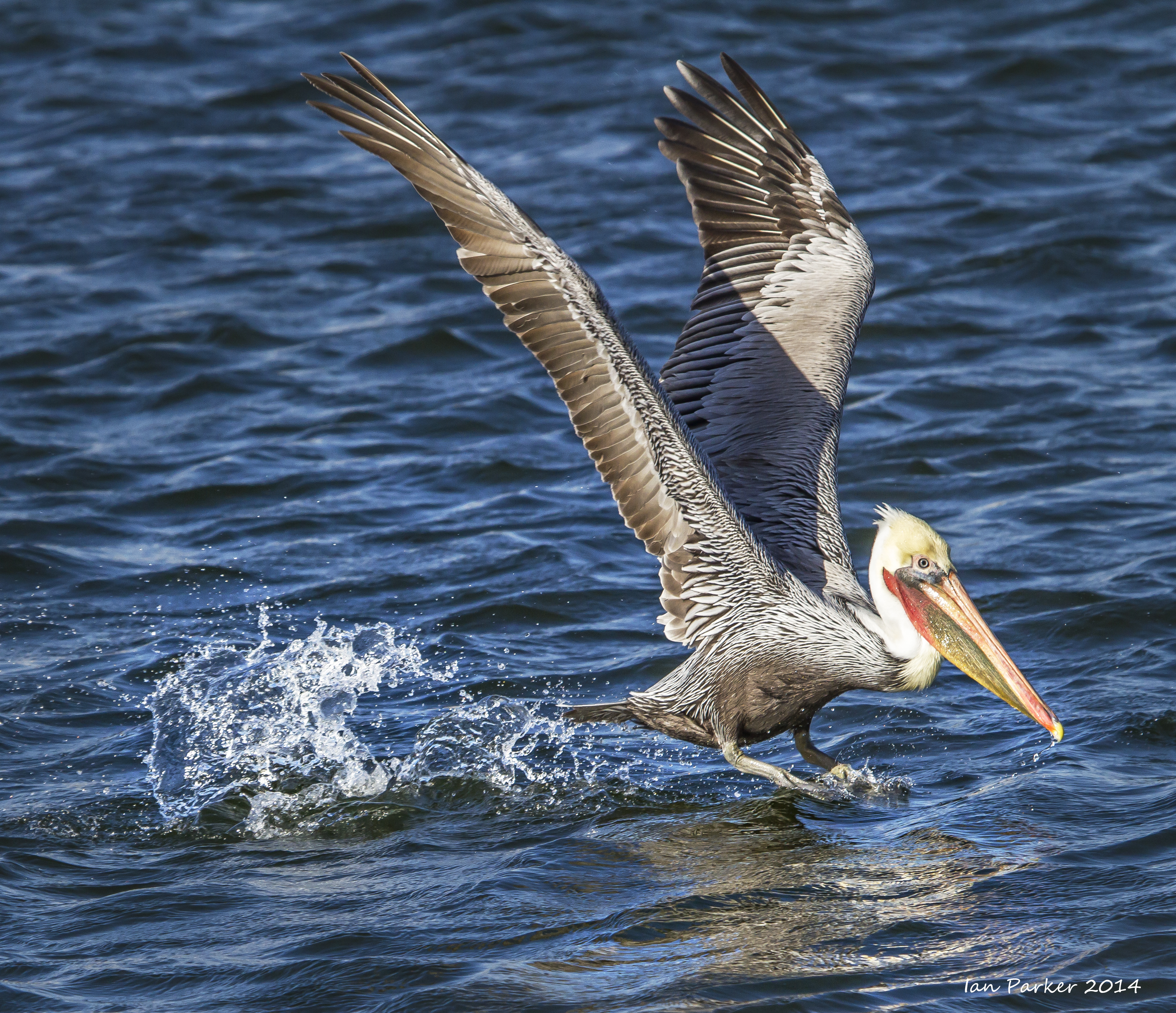
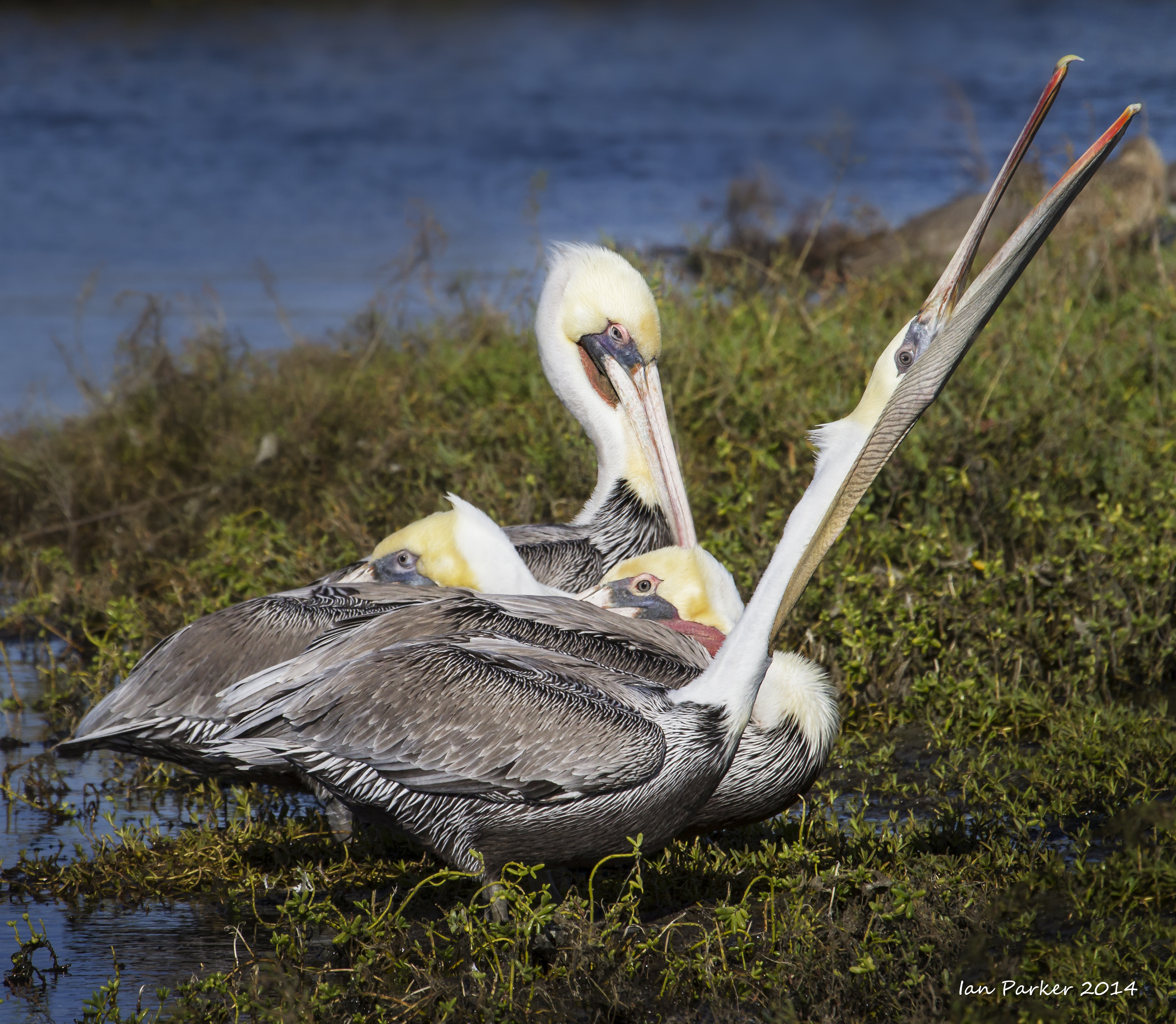
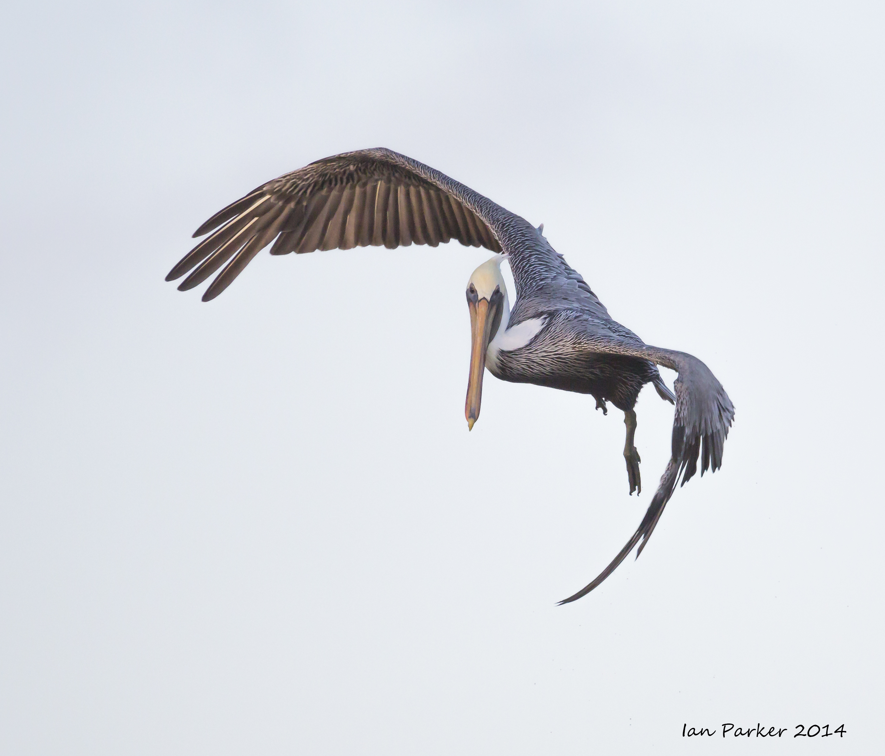
November 23 : More pelicans at Bolosa Chica!
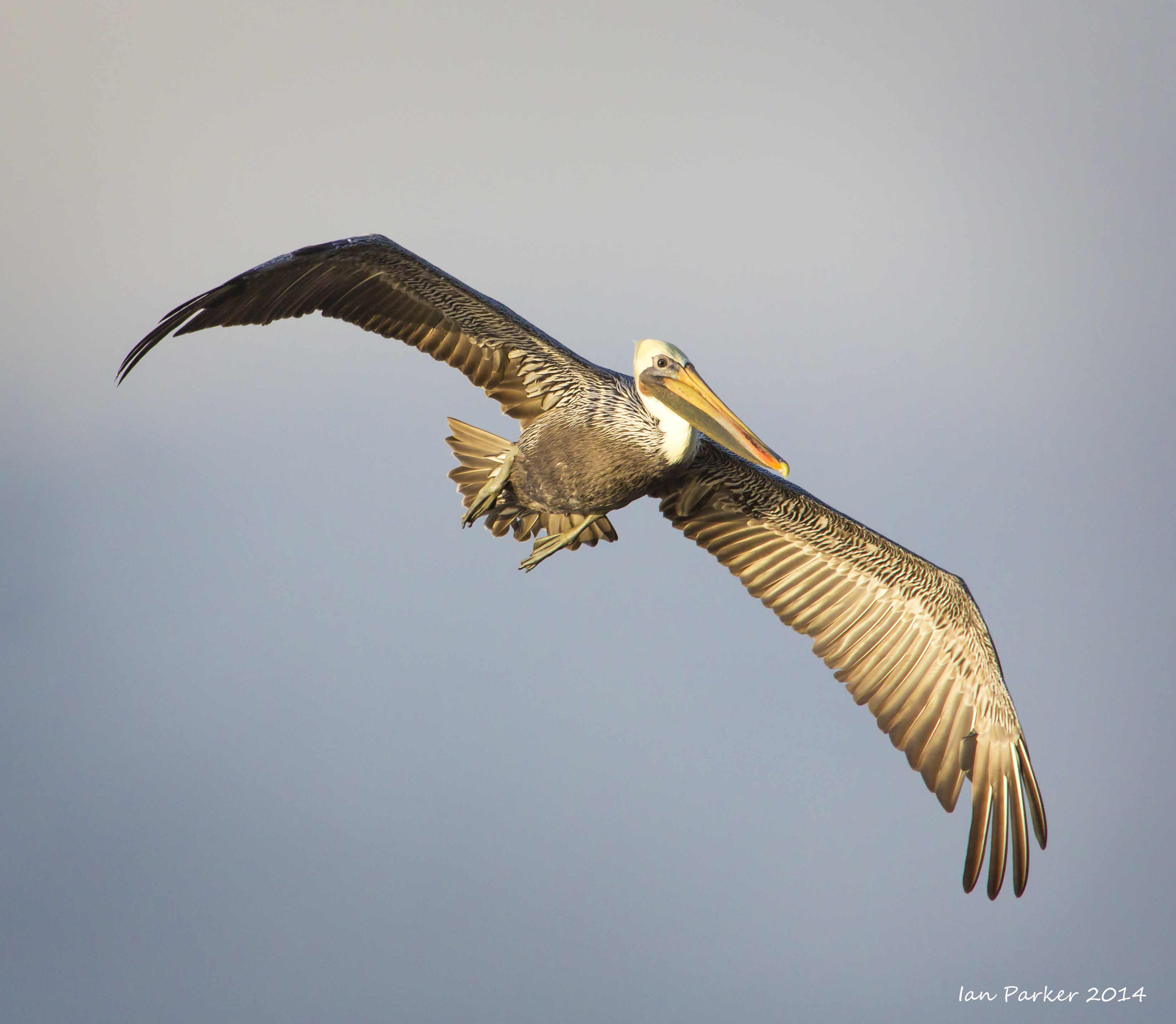
November 16 : A pelican extravaganza at Bolsa Chica
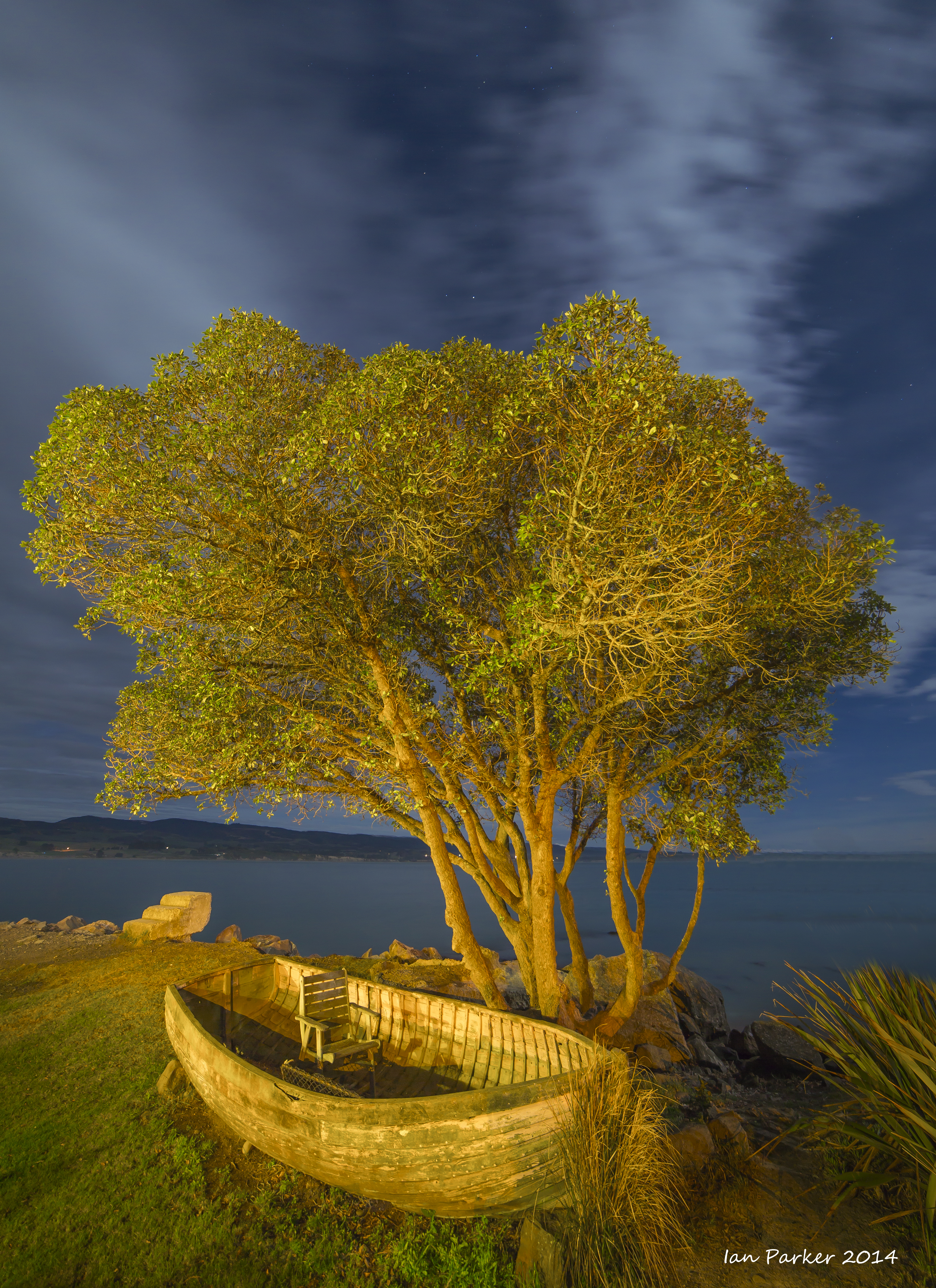
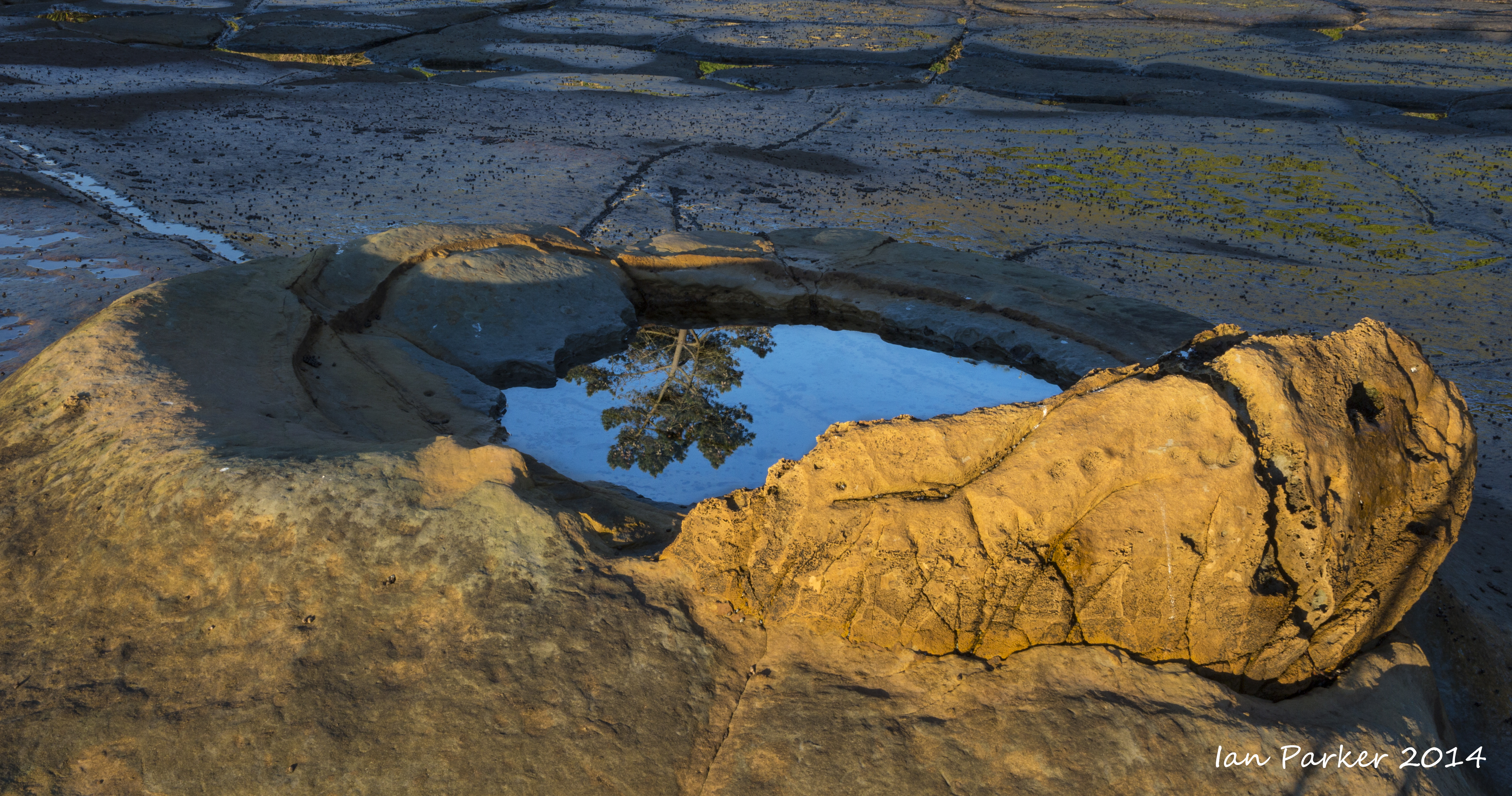
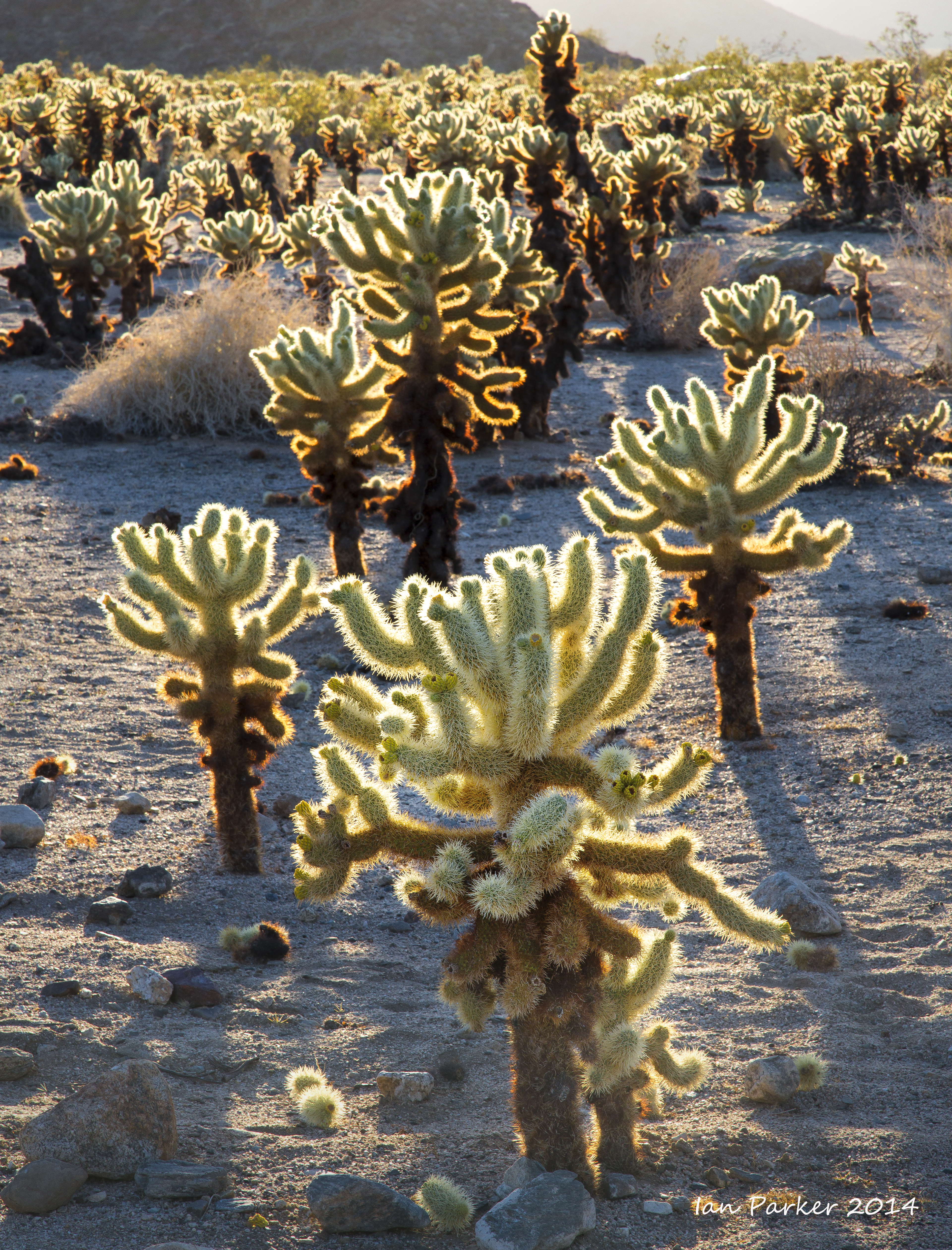
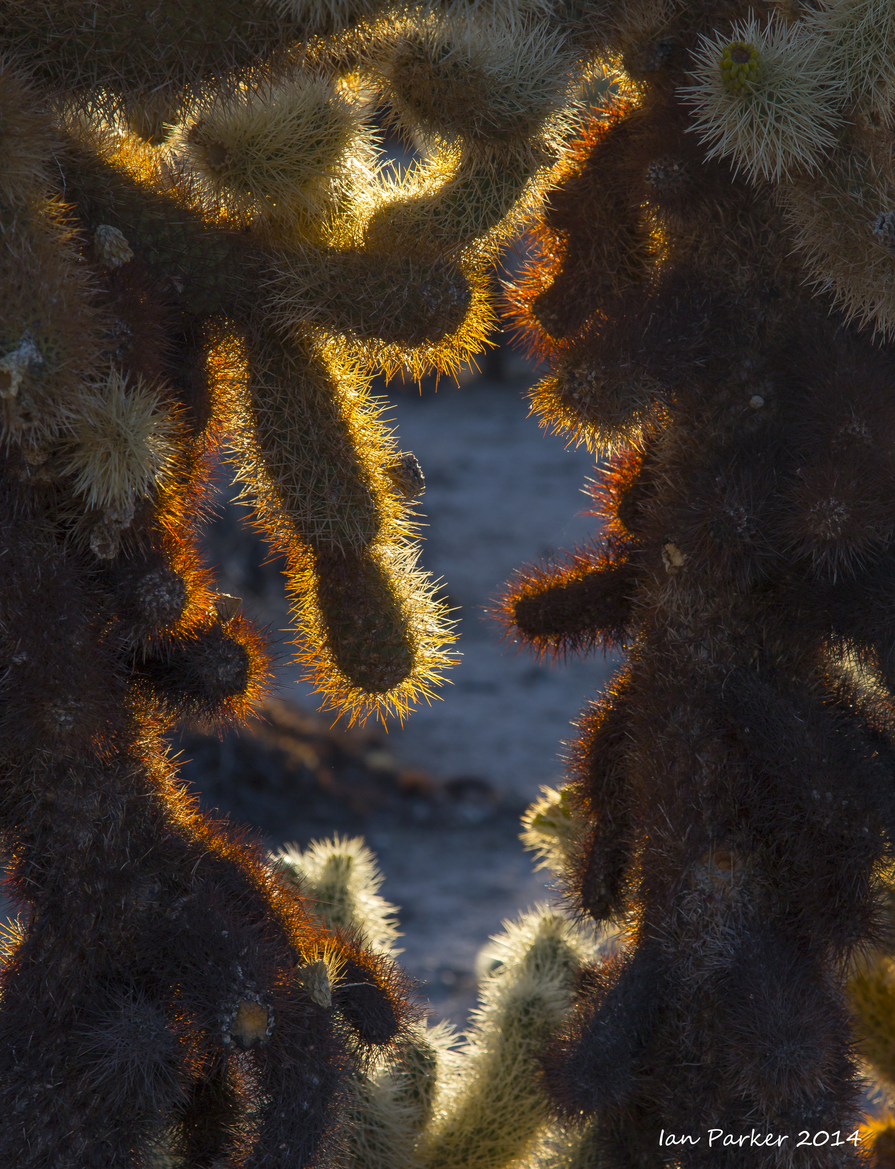
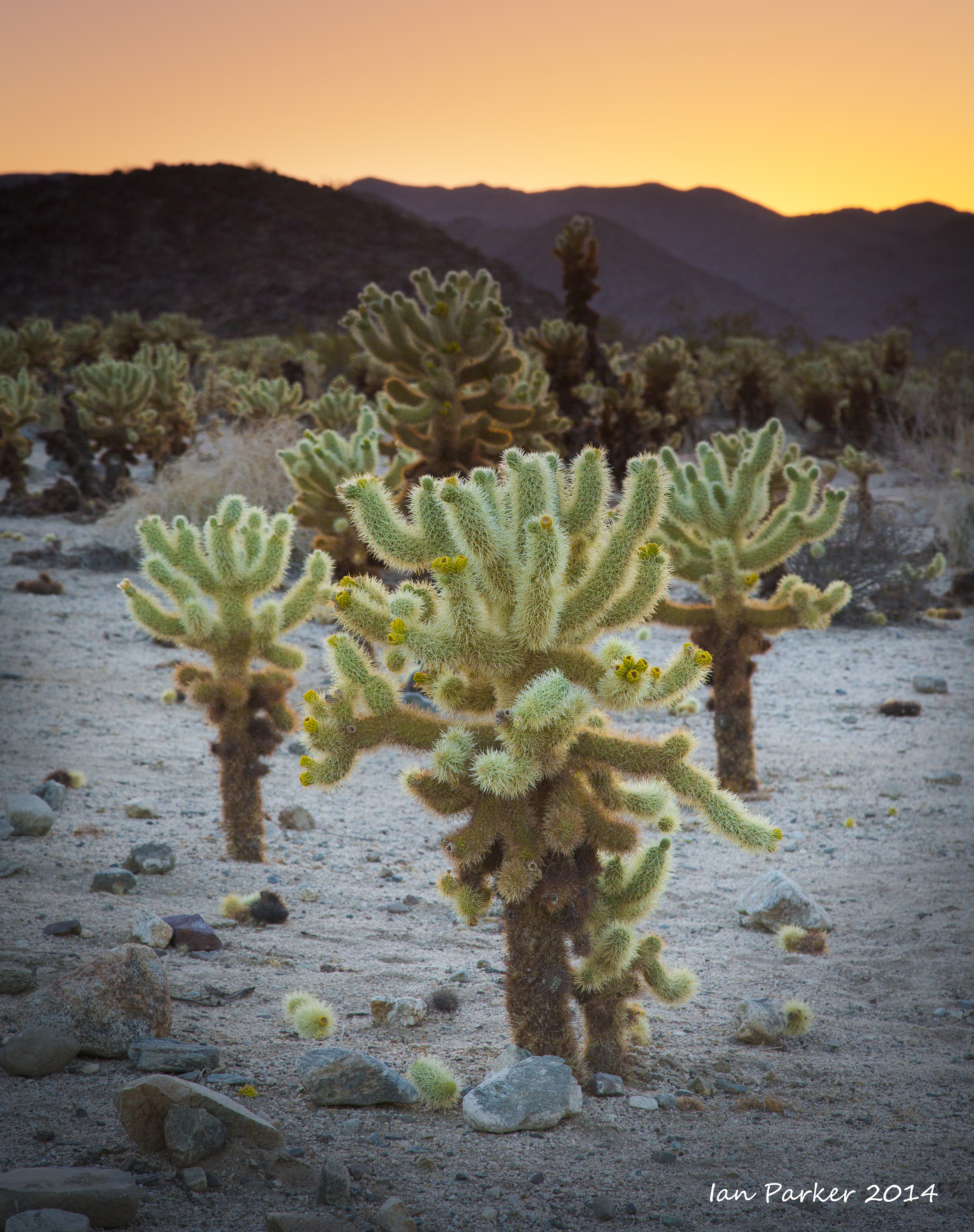
November 1 : Photos from a weekend trip to transport rubber ducks to the Marble Bath
From the Eureka Dunes we threaded through the rocksteps in Dedekera Canyon and on over Steele Pass, bringing a new flock of rubber ducks to the Marble Bath. We found that many of the indigenous ducks had taken shelter from the sumer sun under a rock alcove, but with the onset of cooler weather we thought they would prefer to be returned to their marbled aquatic habitat.
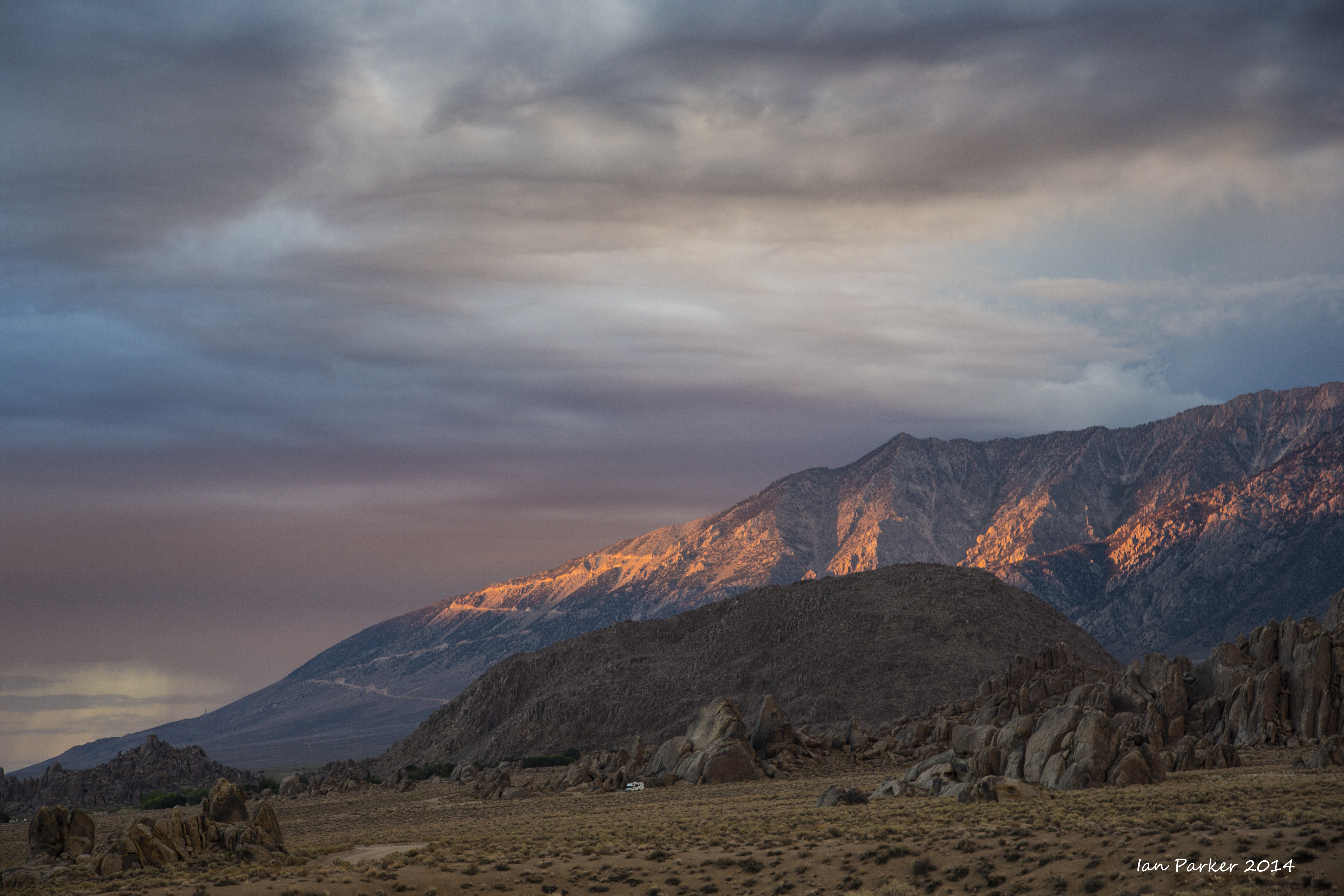
We had planned to continue down into Saline Valley and out over South Pass, but were thwarted by a bad washout and so retraced our path back to Big Pine. A fortuitous result of this delay was that we arrived at Diaz lake just in time to photograph the golden Fall colors of the cottonwoods before they fell into the shade cast by the Sierra mountains. |
|
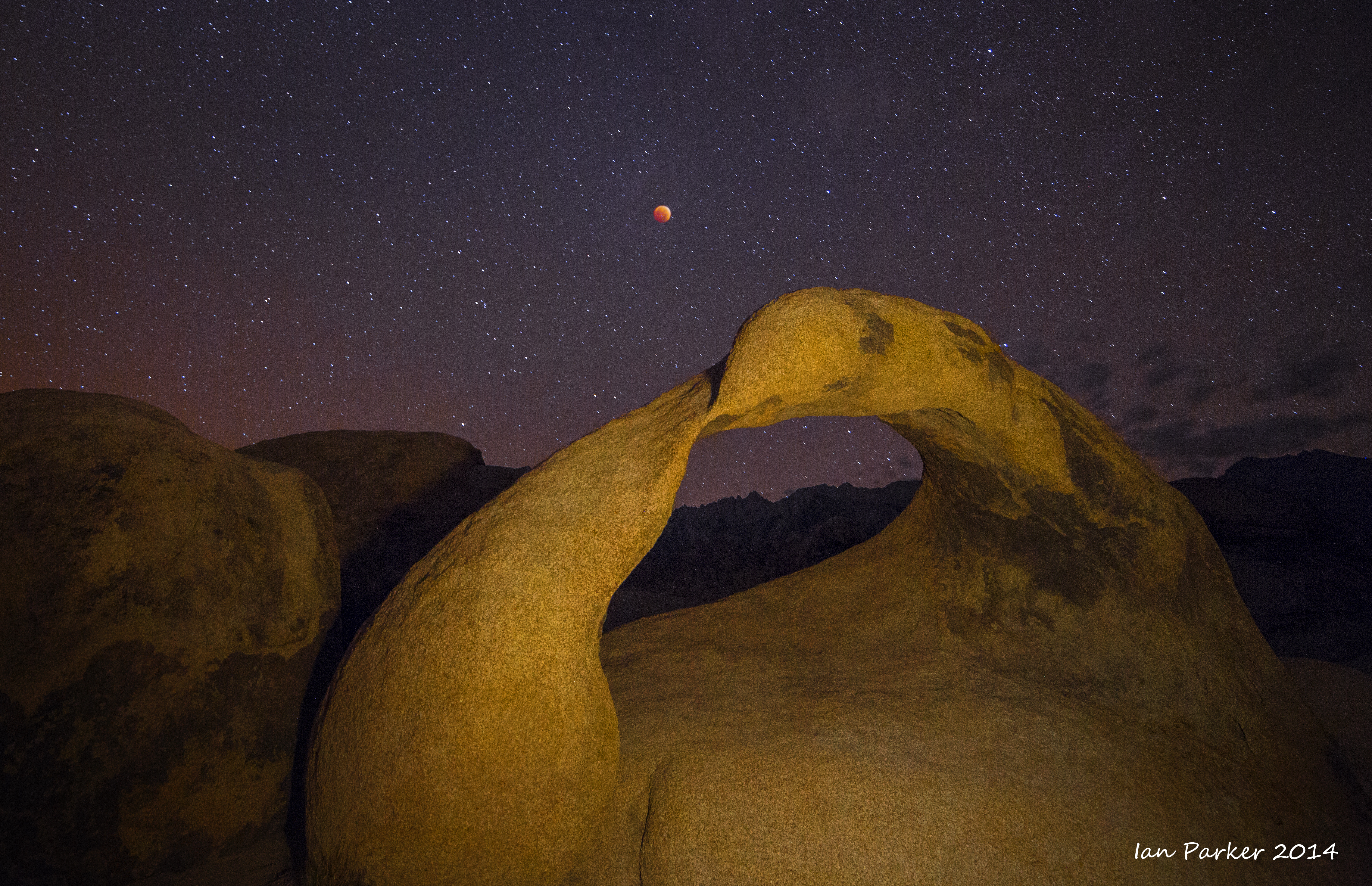
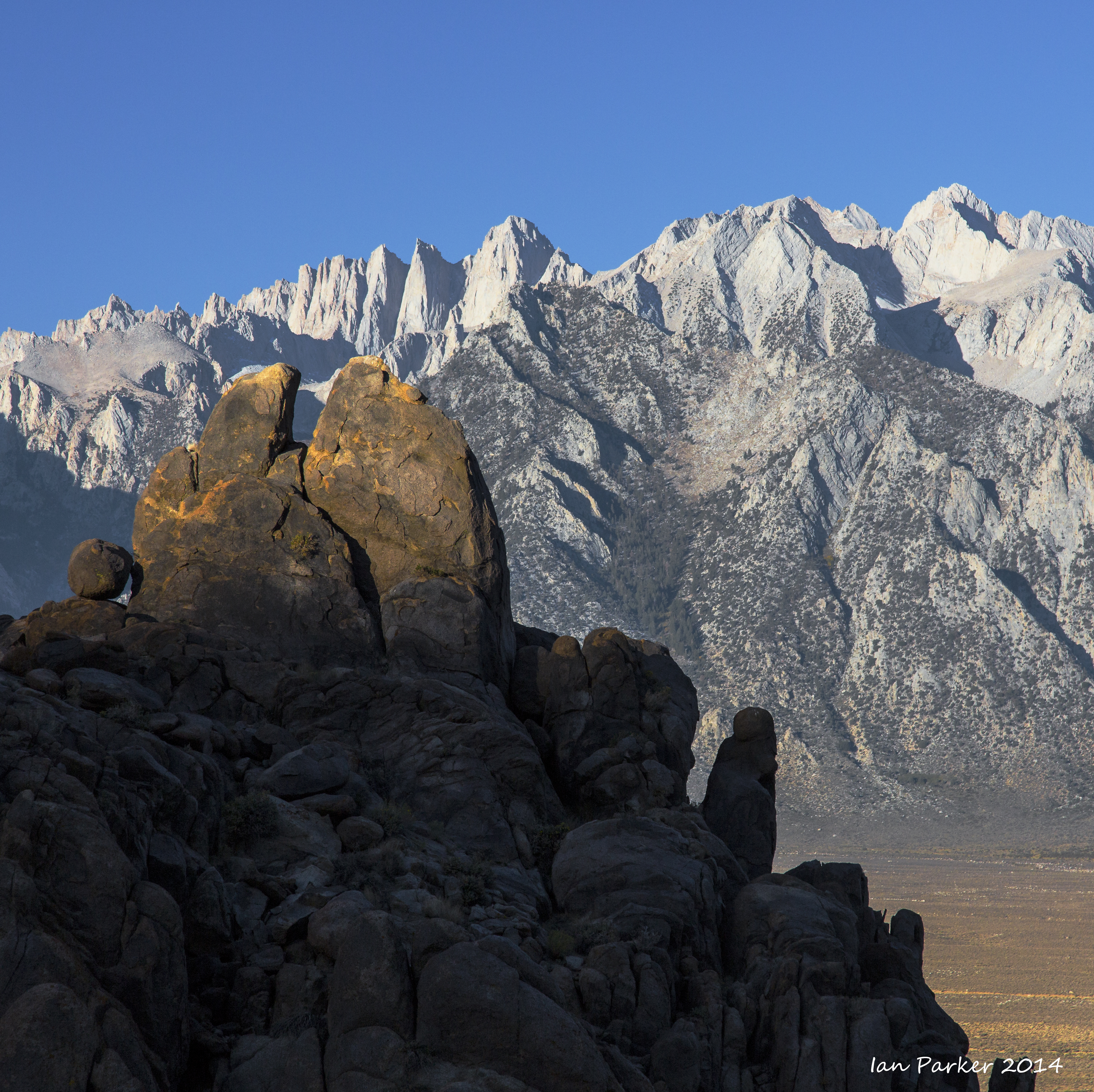
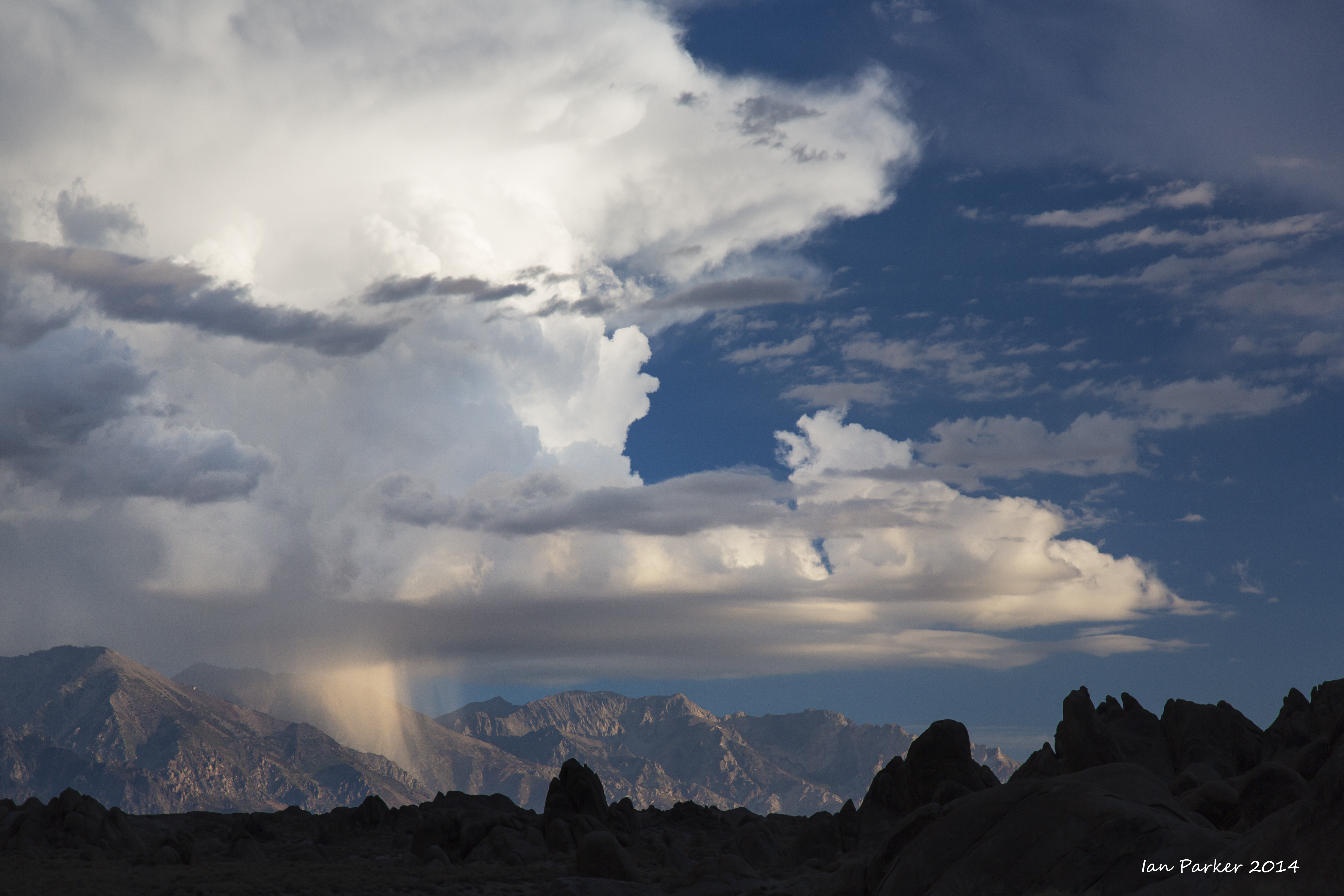
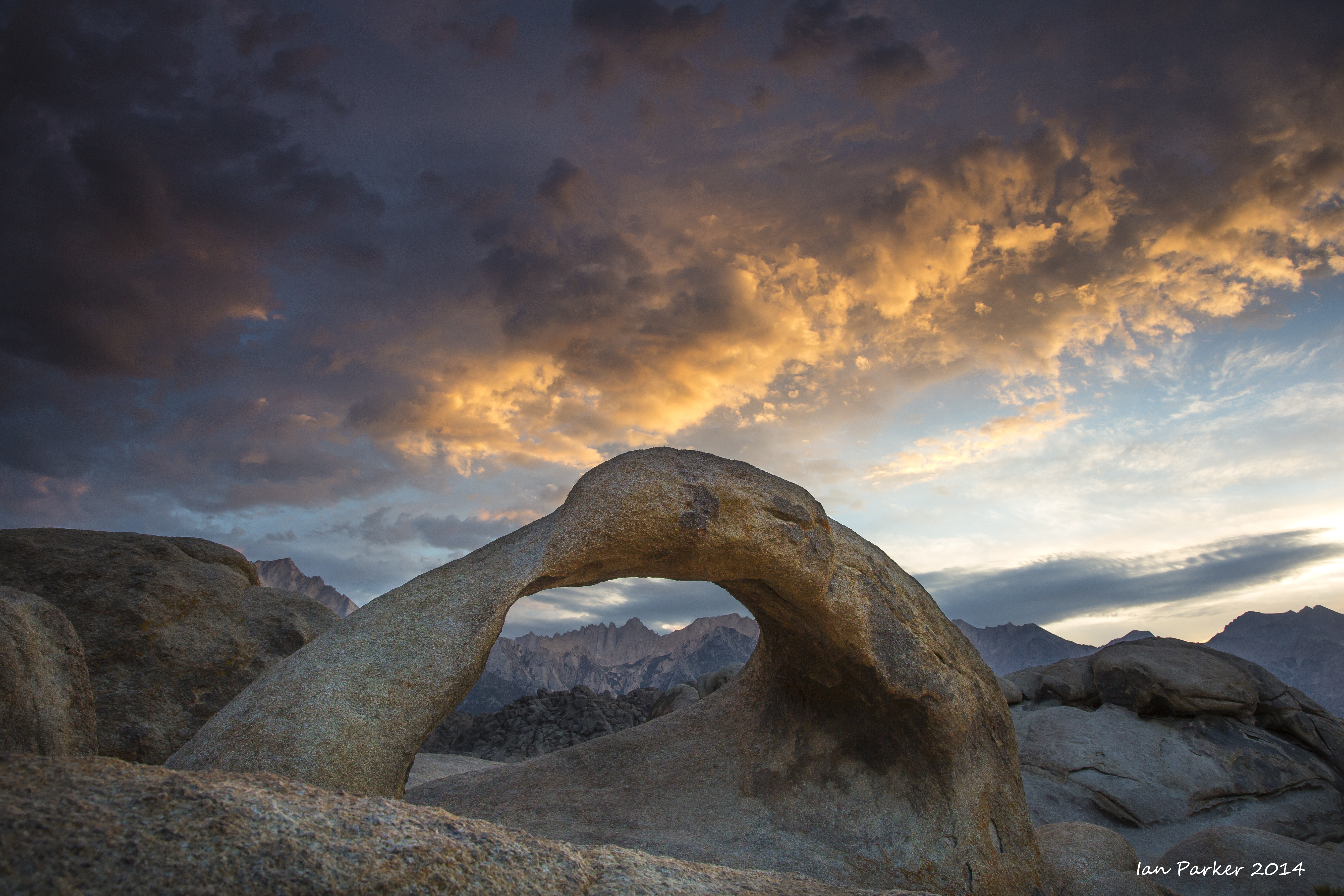
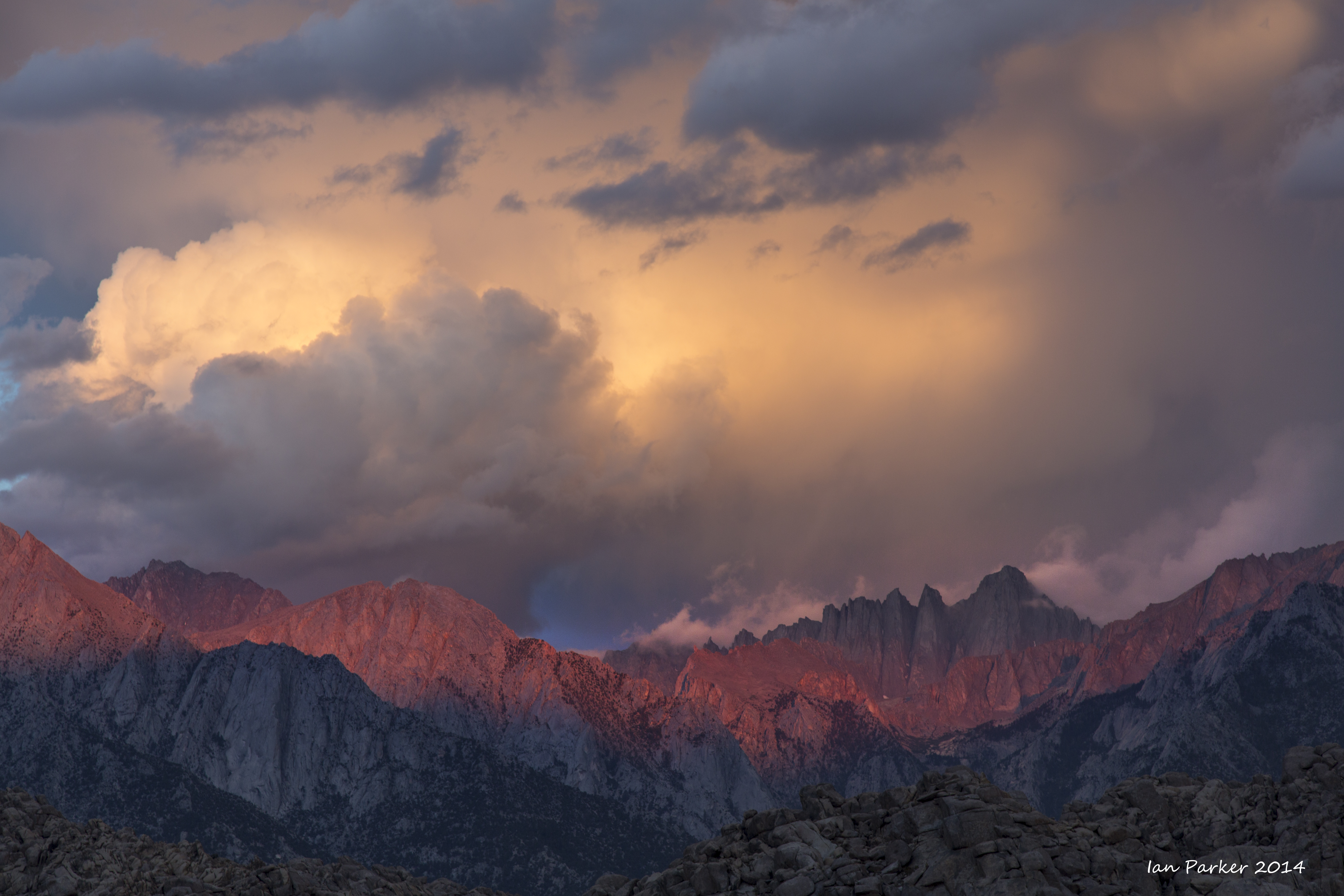
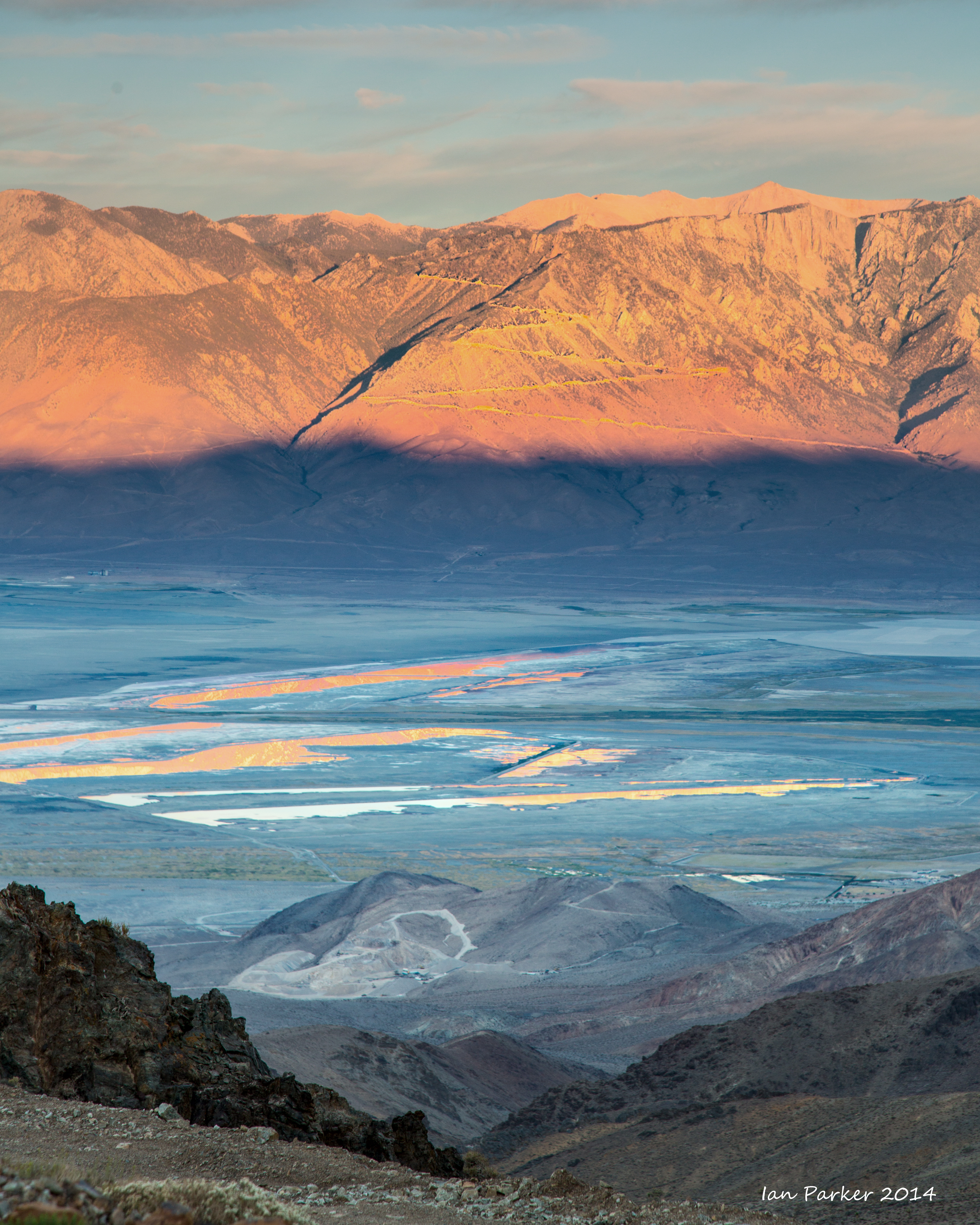
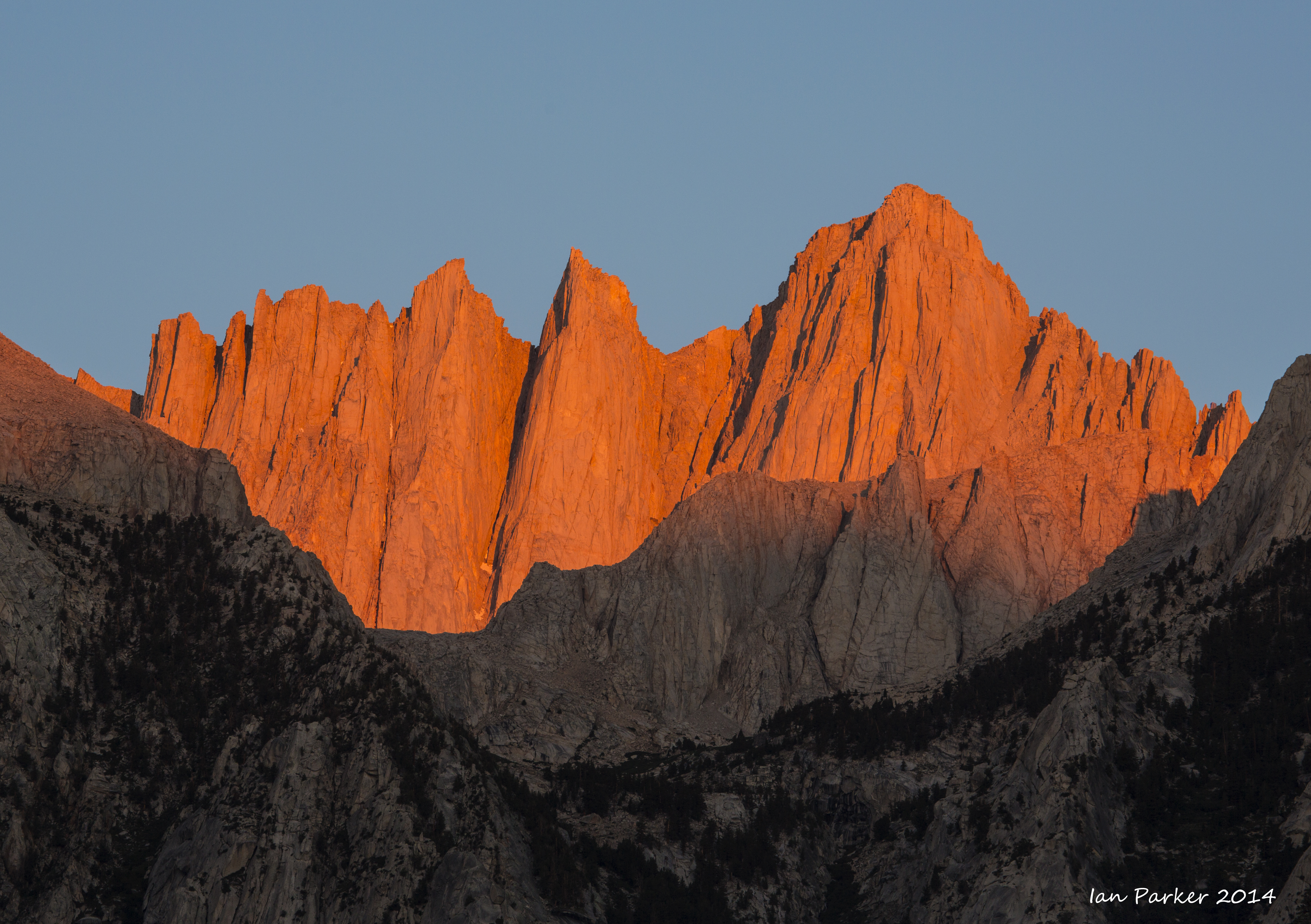
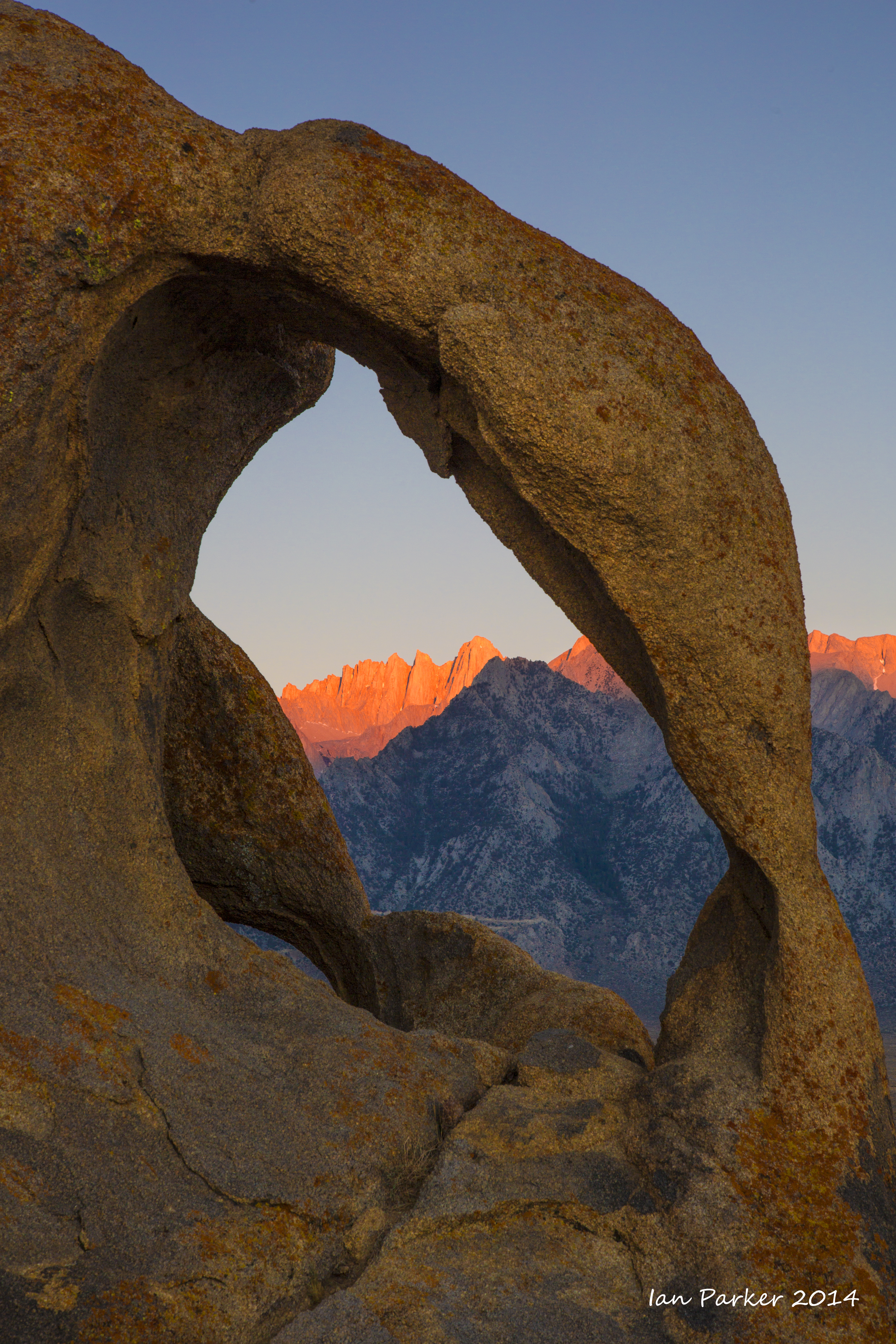
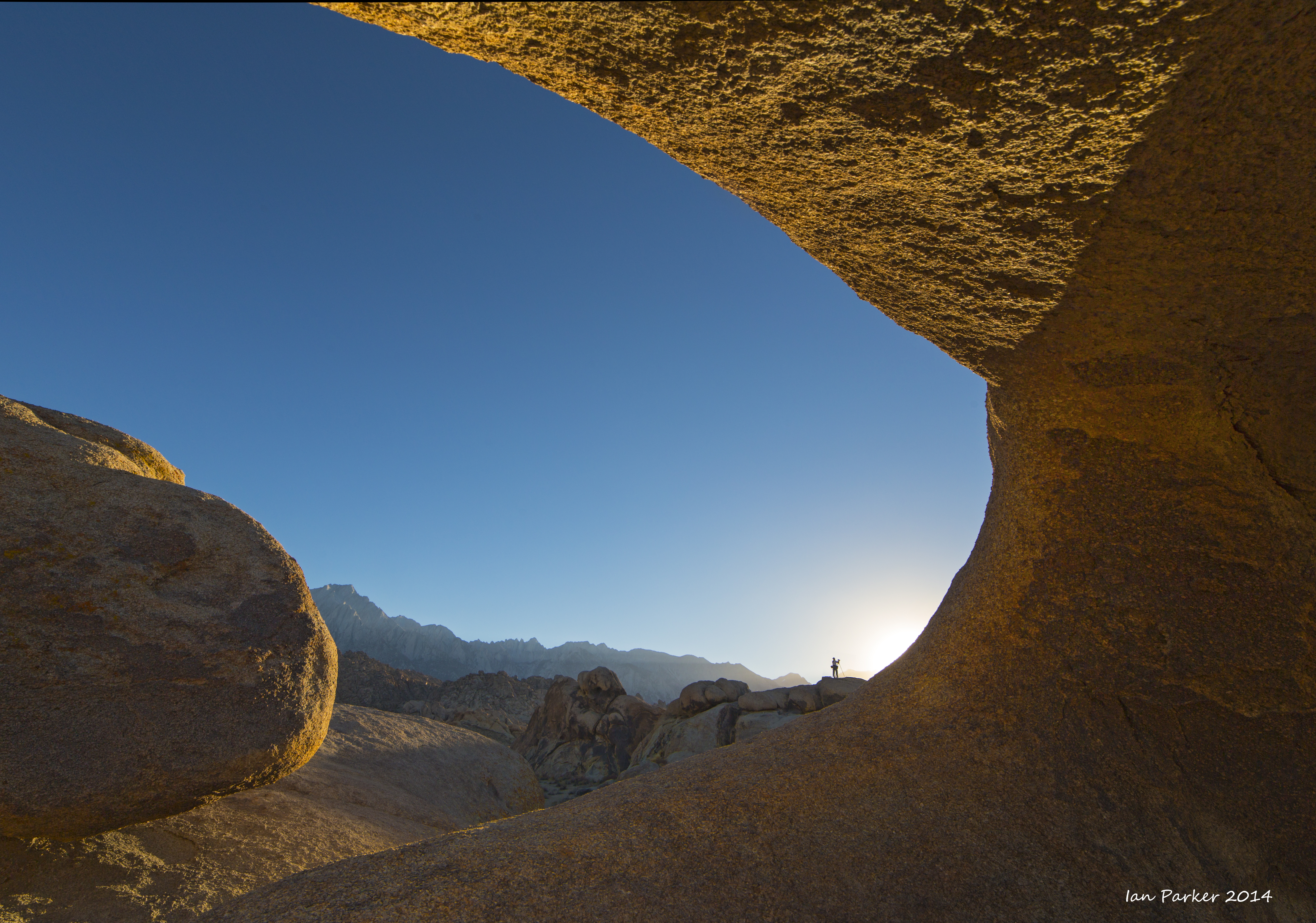
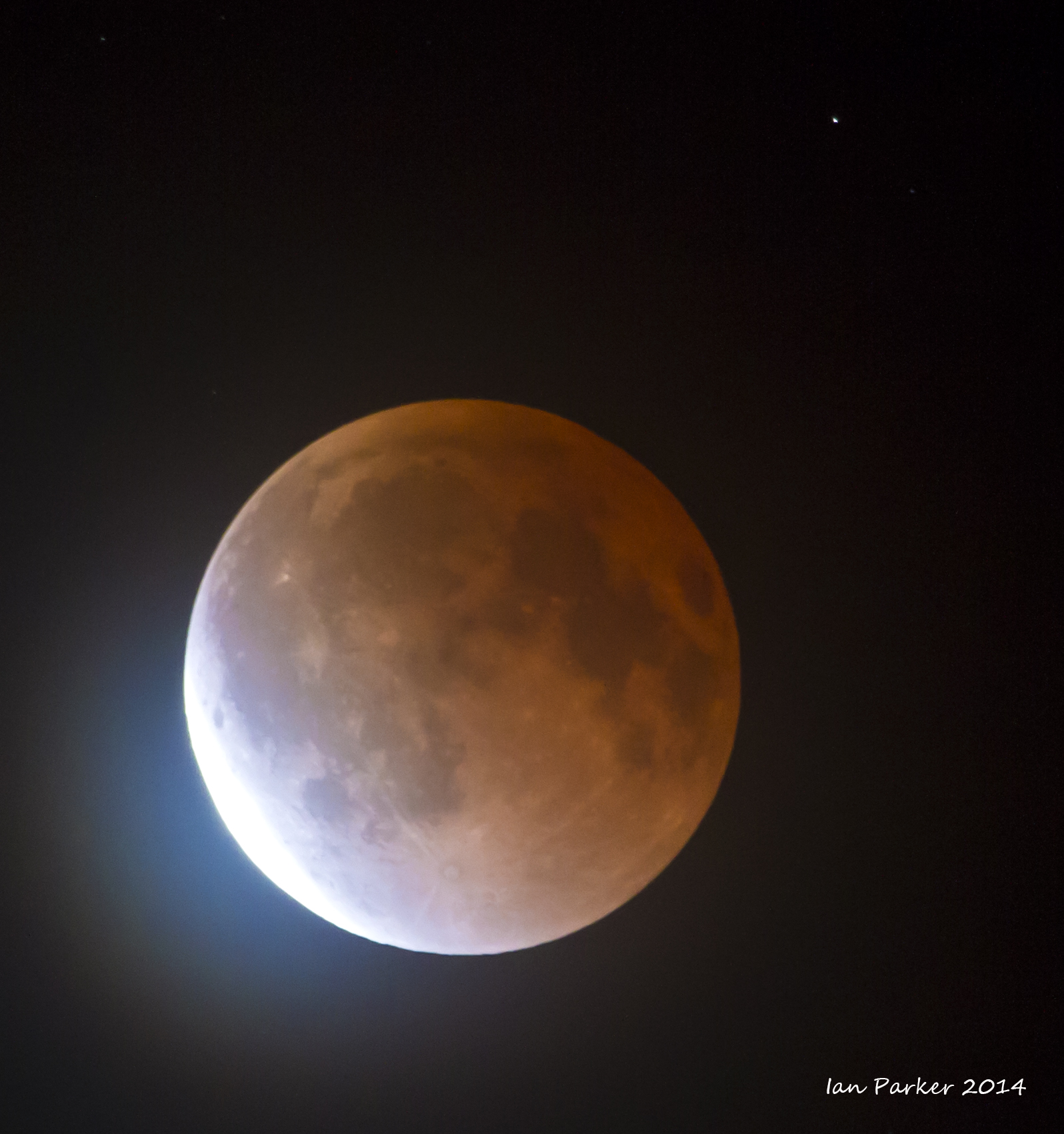
October 8 : An overnight trip to the Alabama Hills to photograph the second in a tetrad sequence of lunar eclipses
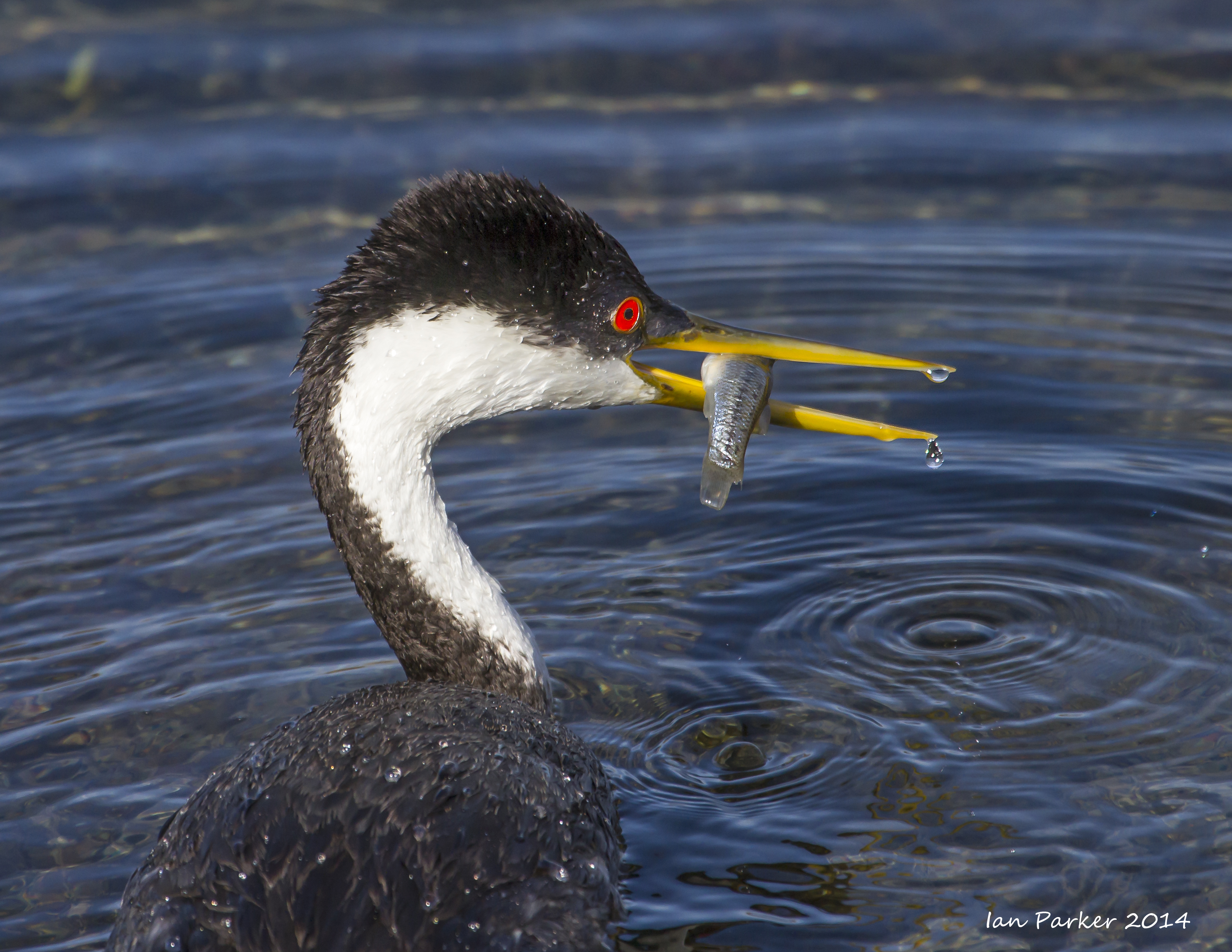
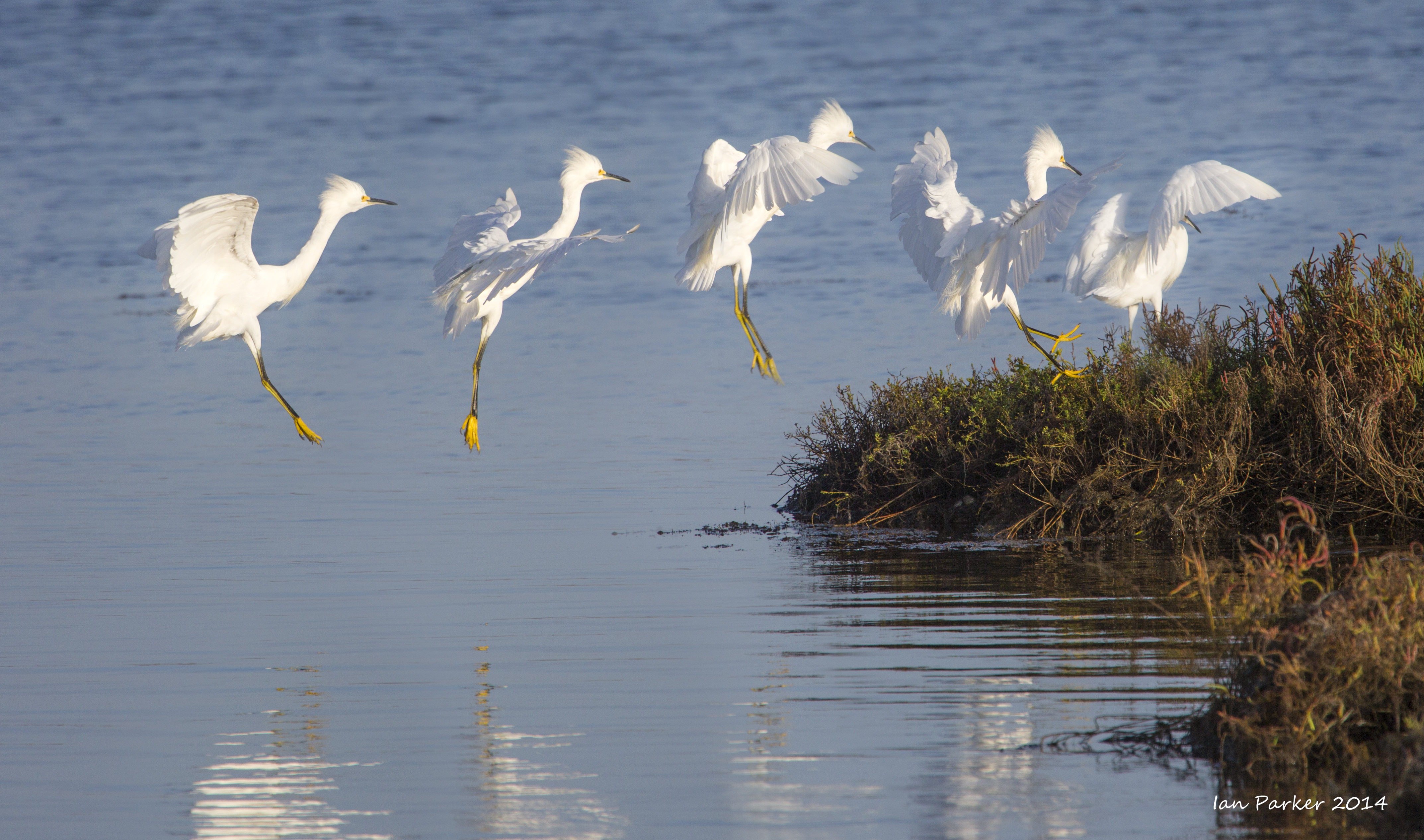
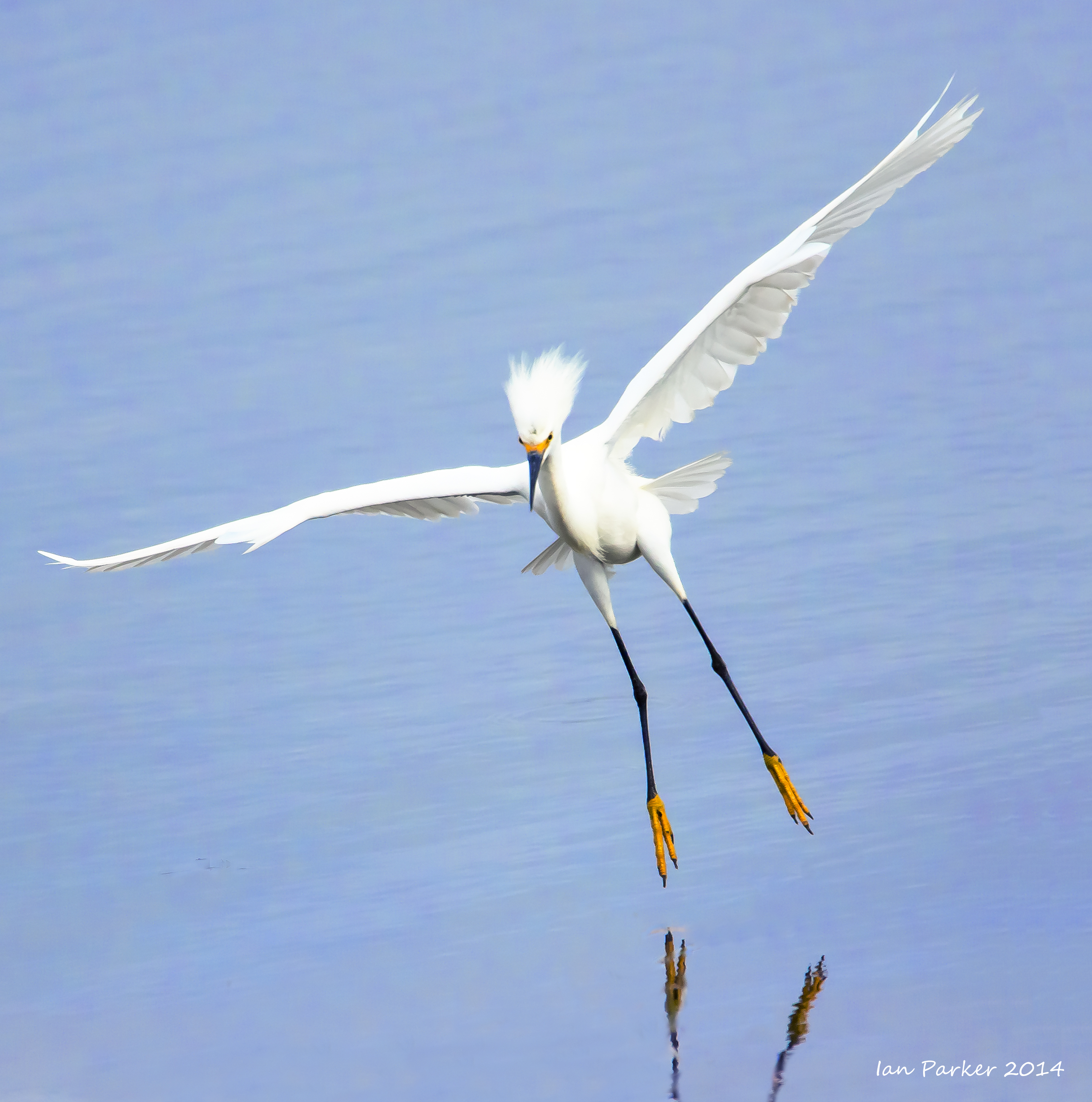
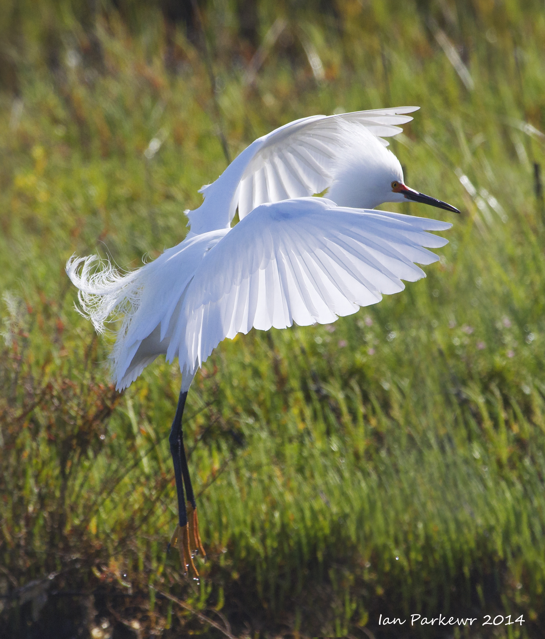
October 4 : Pelicans and egrets at Bolsa Chica
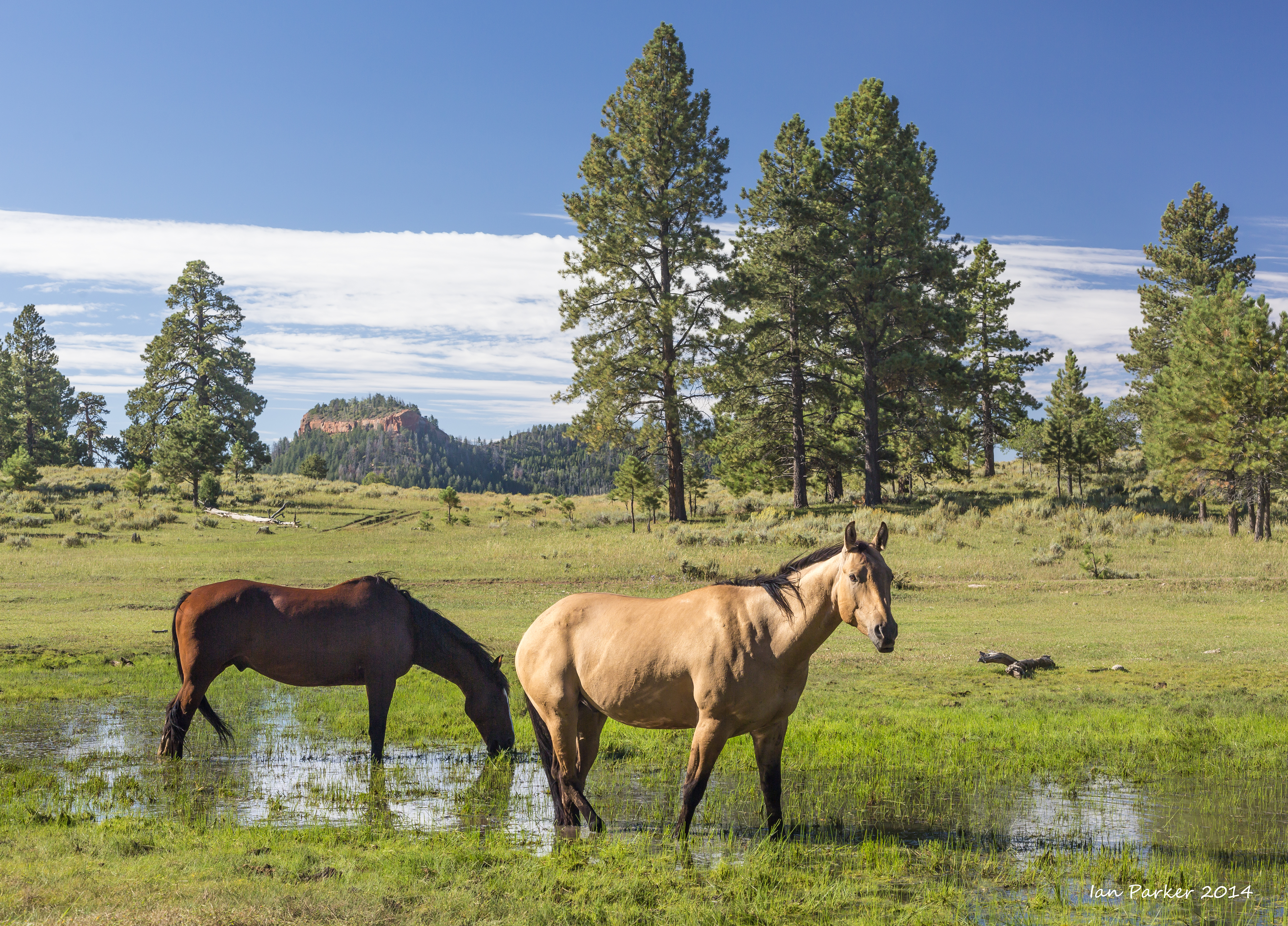
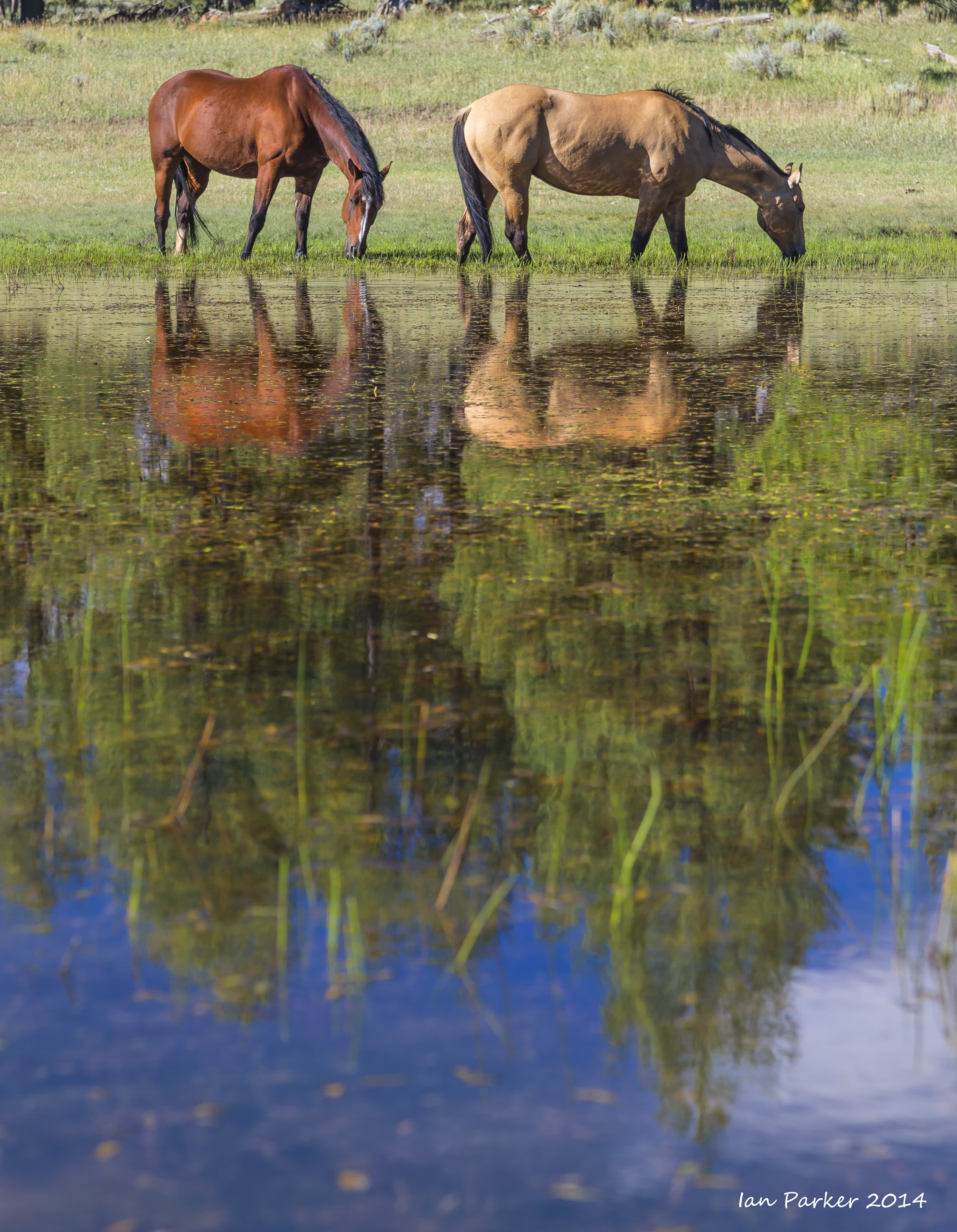
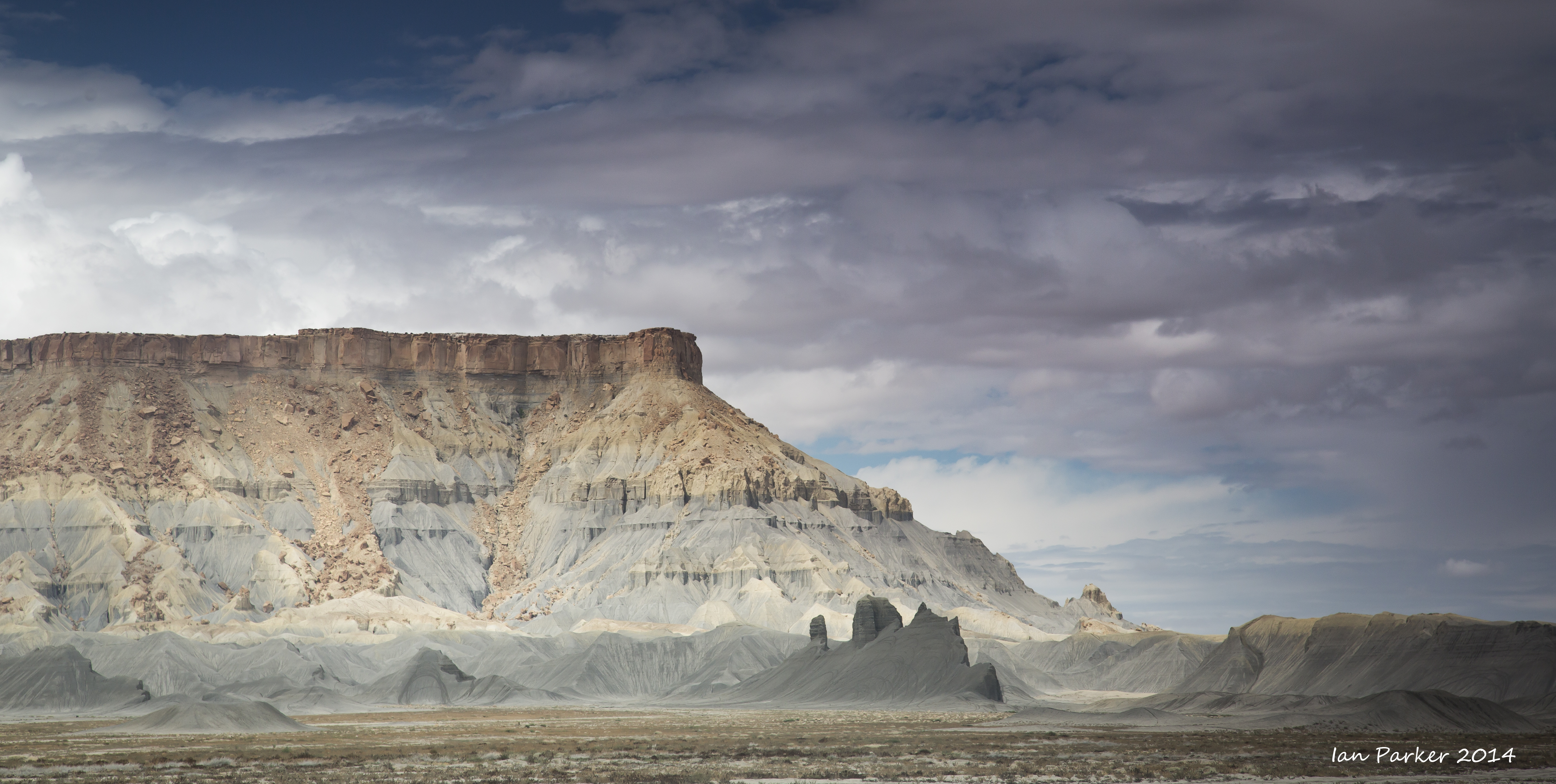
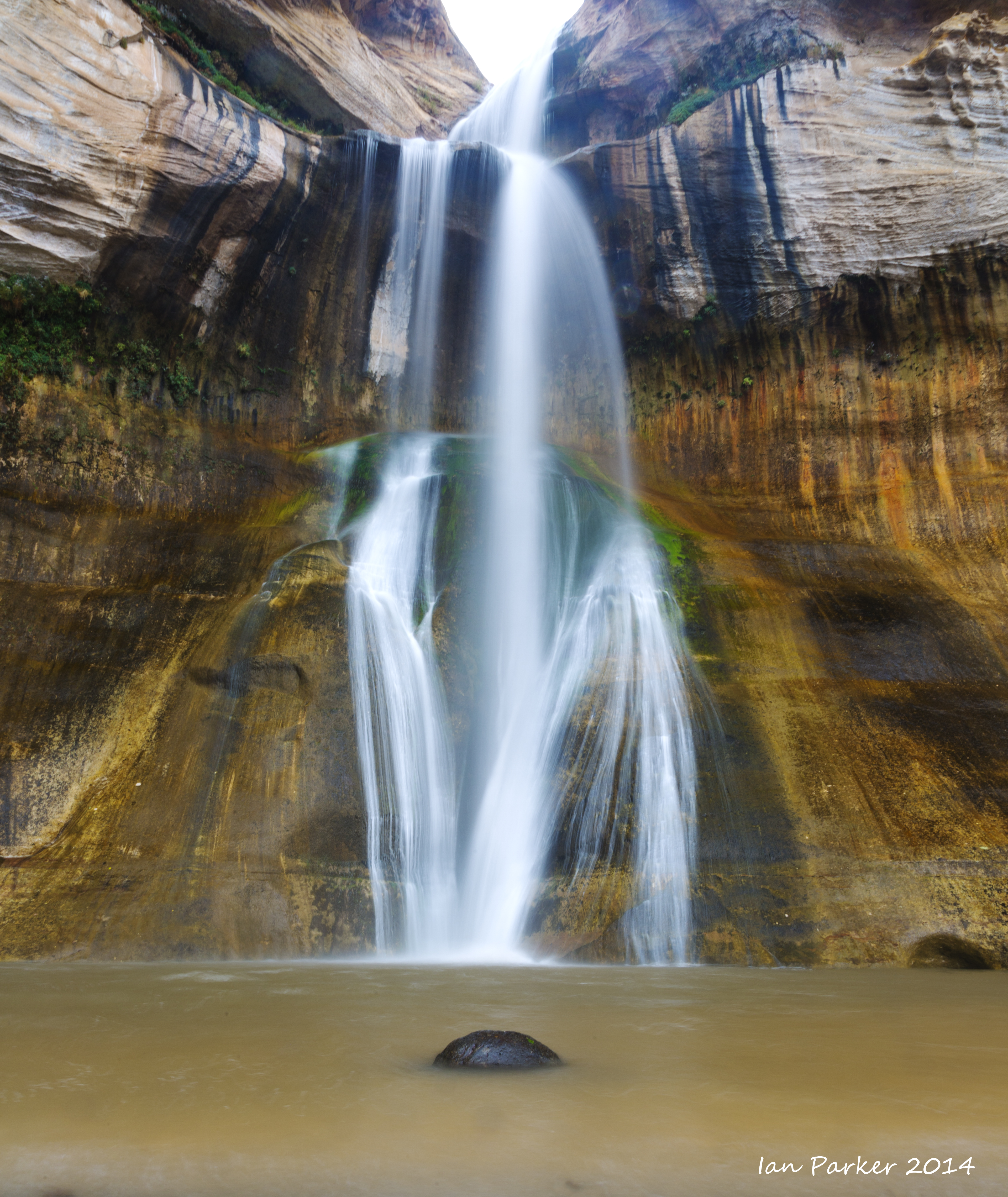
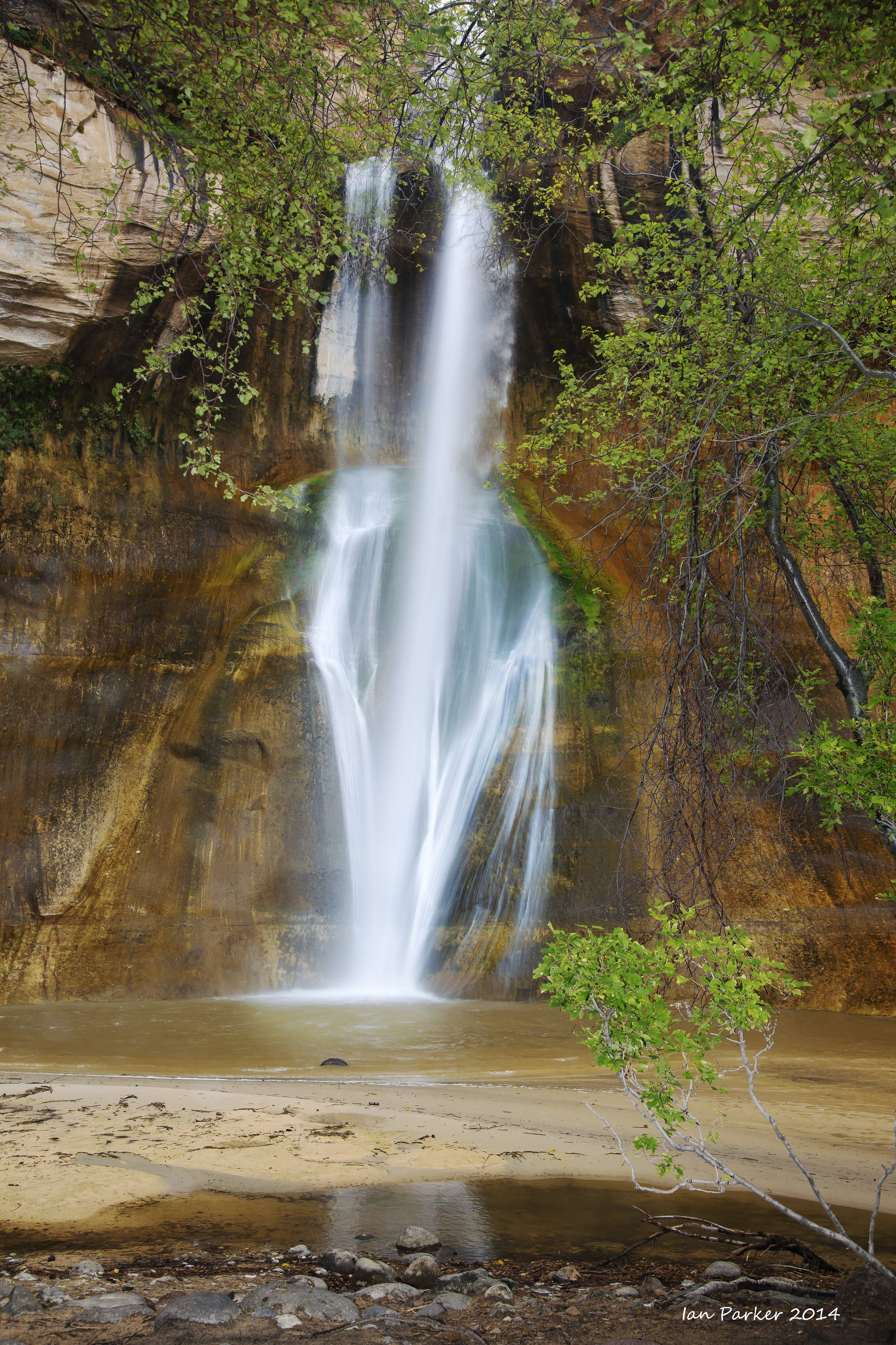
September 5-10: Mostly Utah
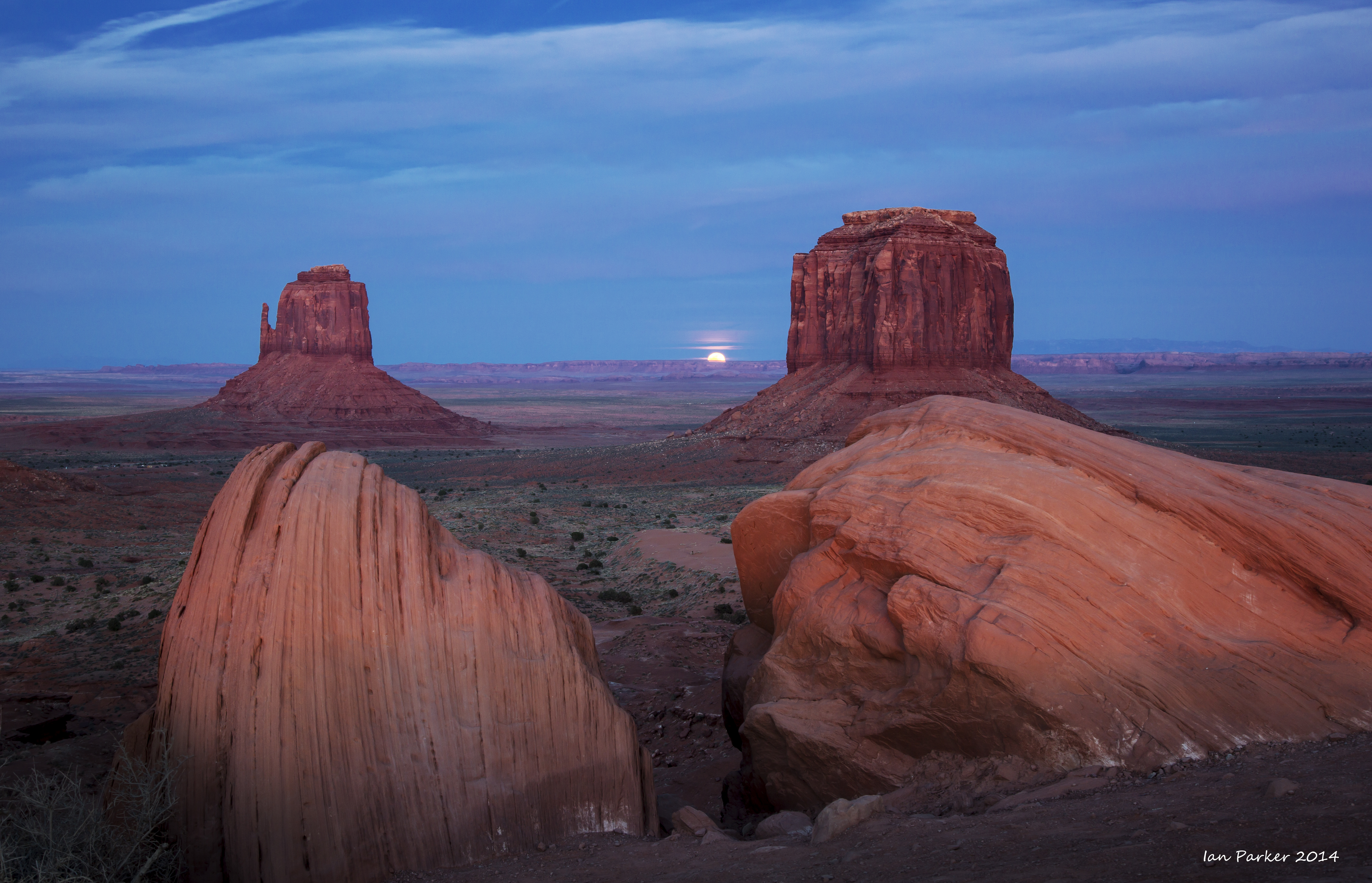
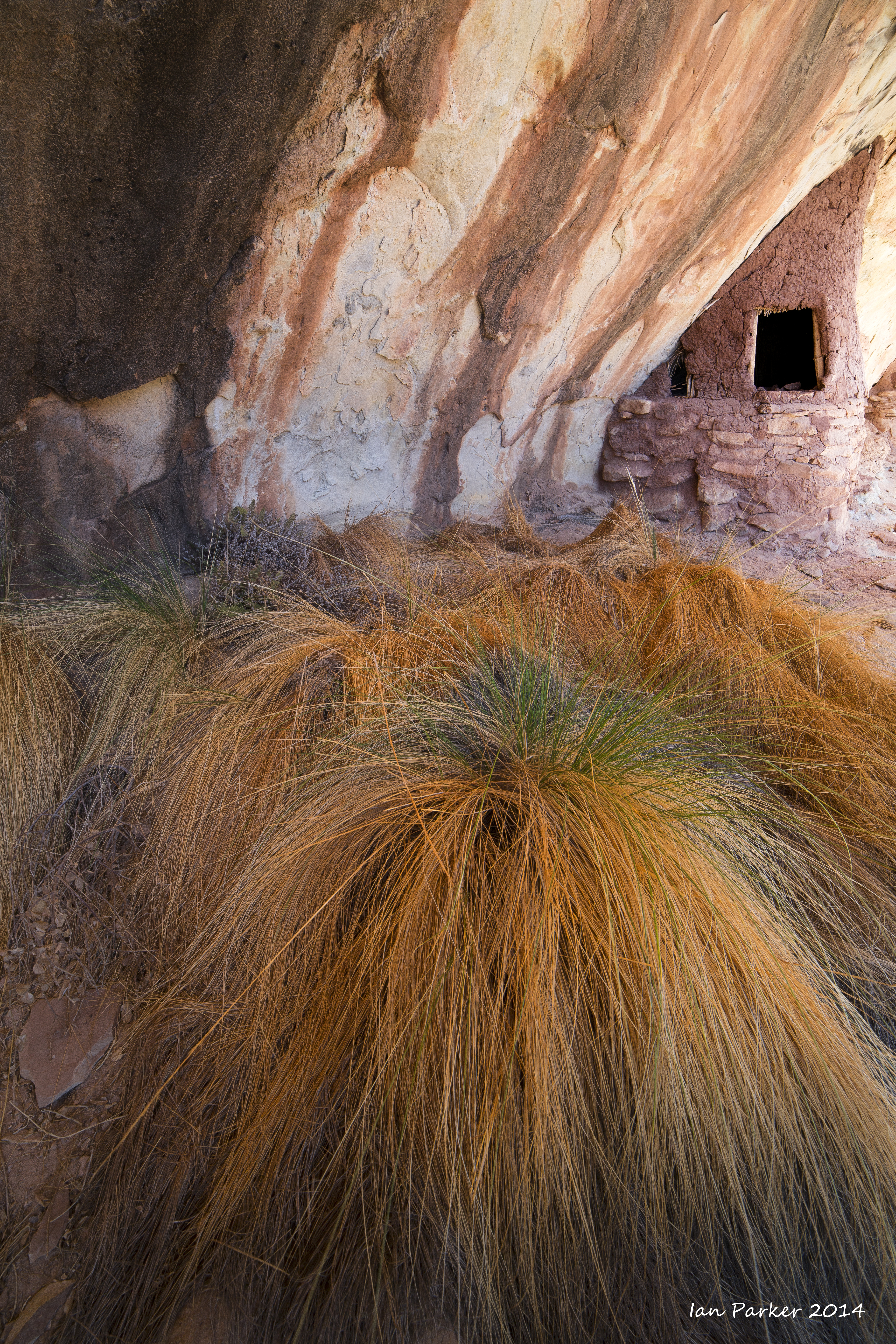
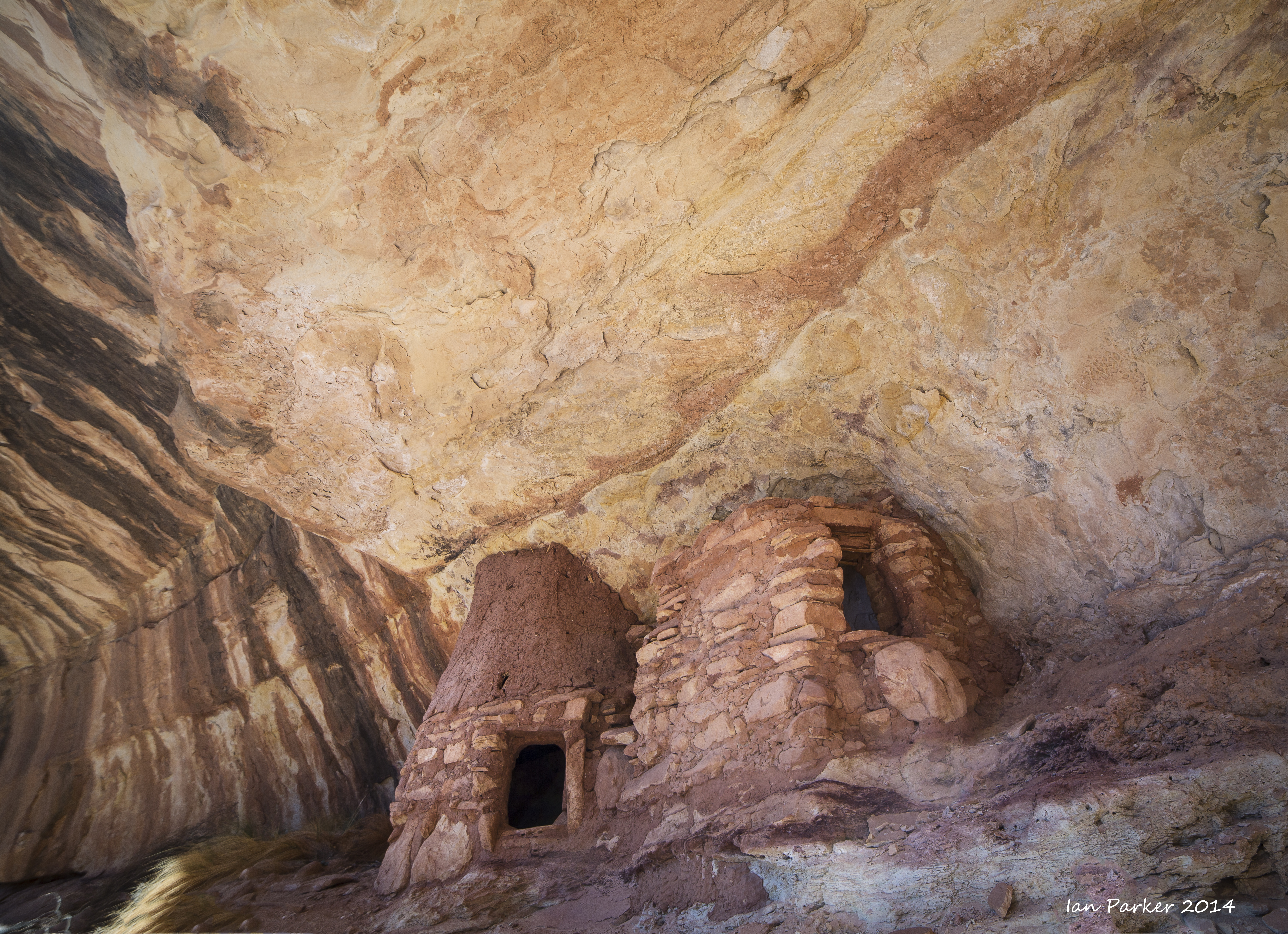
The original motivation for this trip was the near-coincidence of the 'mittens shadow' at Monument Valley together with the rising of a full moon. However, the fading remains of hurricane Norbert blew into the Four Corners region mid afternoon on the appointed day, bringing heavy cloud cover and rain: no sun, no shadow and no moon! Nevertheless, I had some dramatic skies and diffuse, overcast light to photograph other locations, and I finally managed to visit the 'Doll House' ruin after previous attempts were thwarted by snowed-in roads.
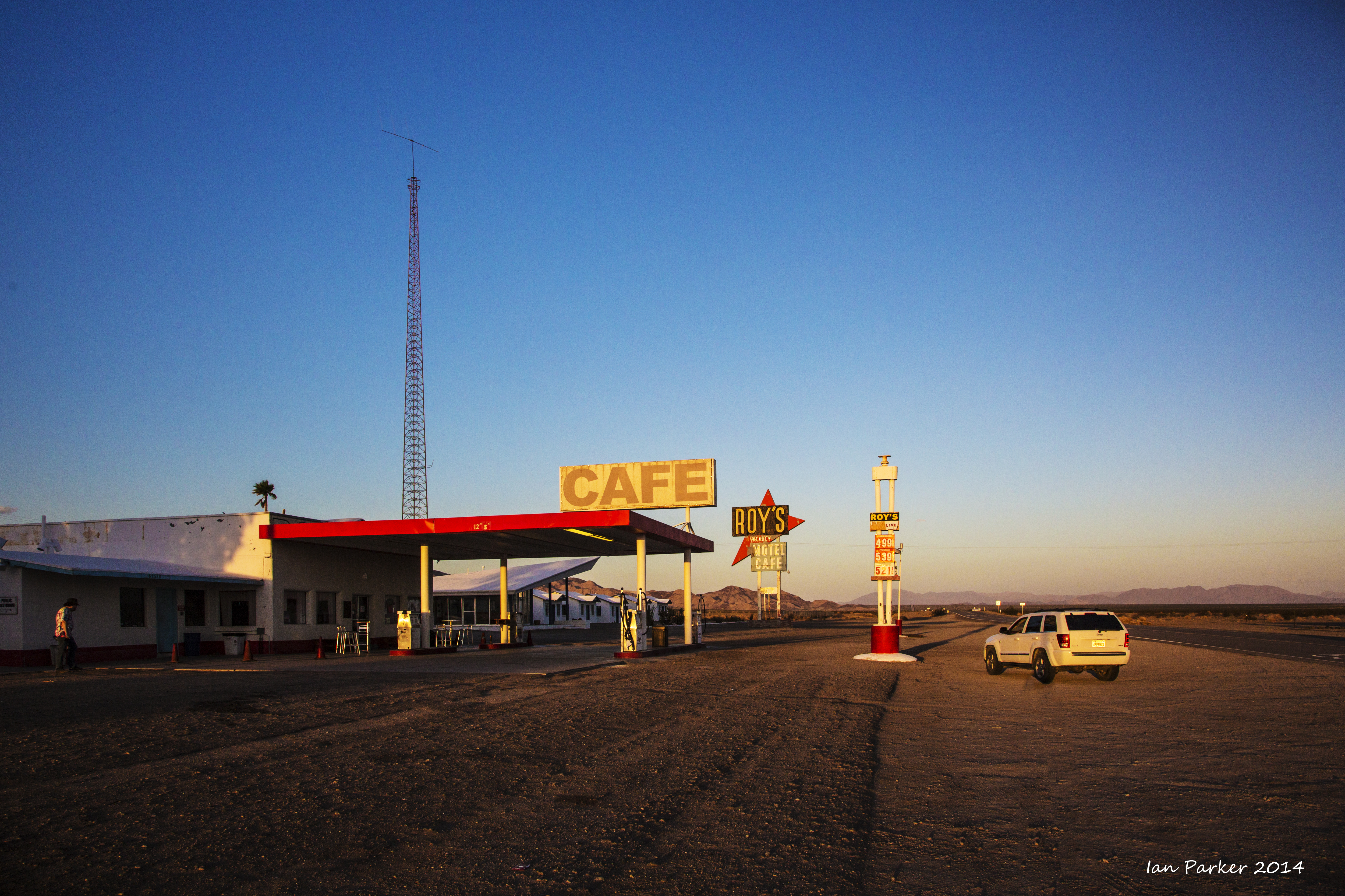
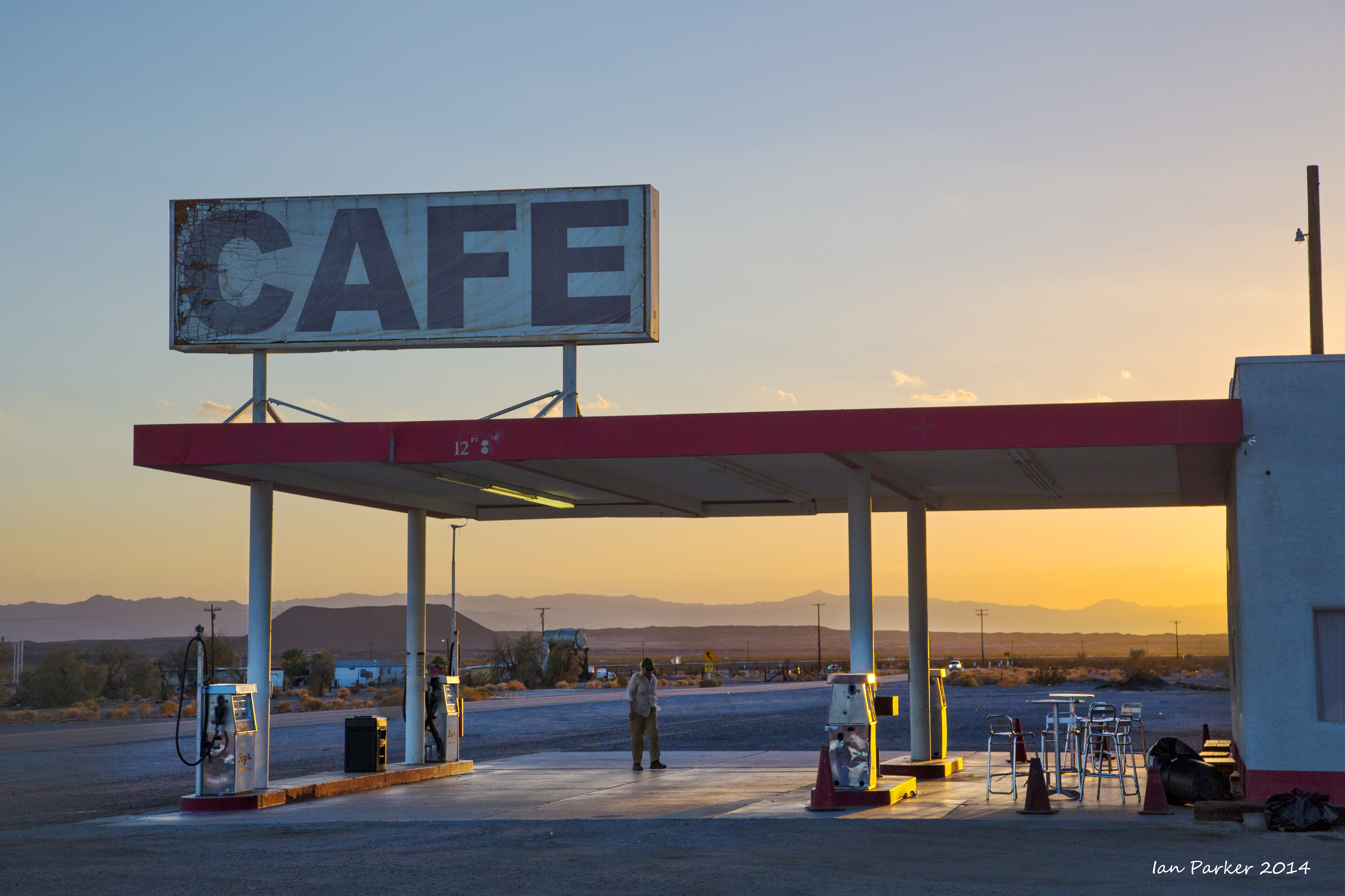
My photographic journey was preceded by a faculty retreat in Palm Springs, so I crossed historic Route 66 on my way to join I40 toward Monument Valley.
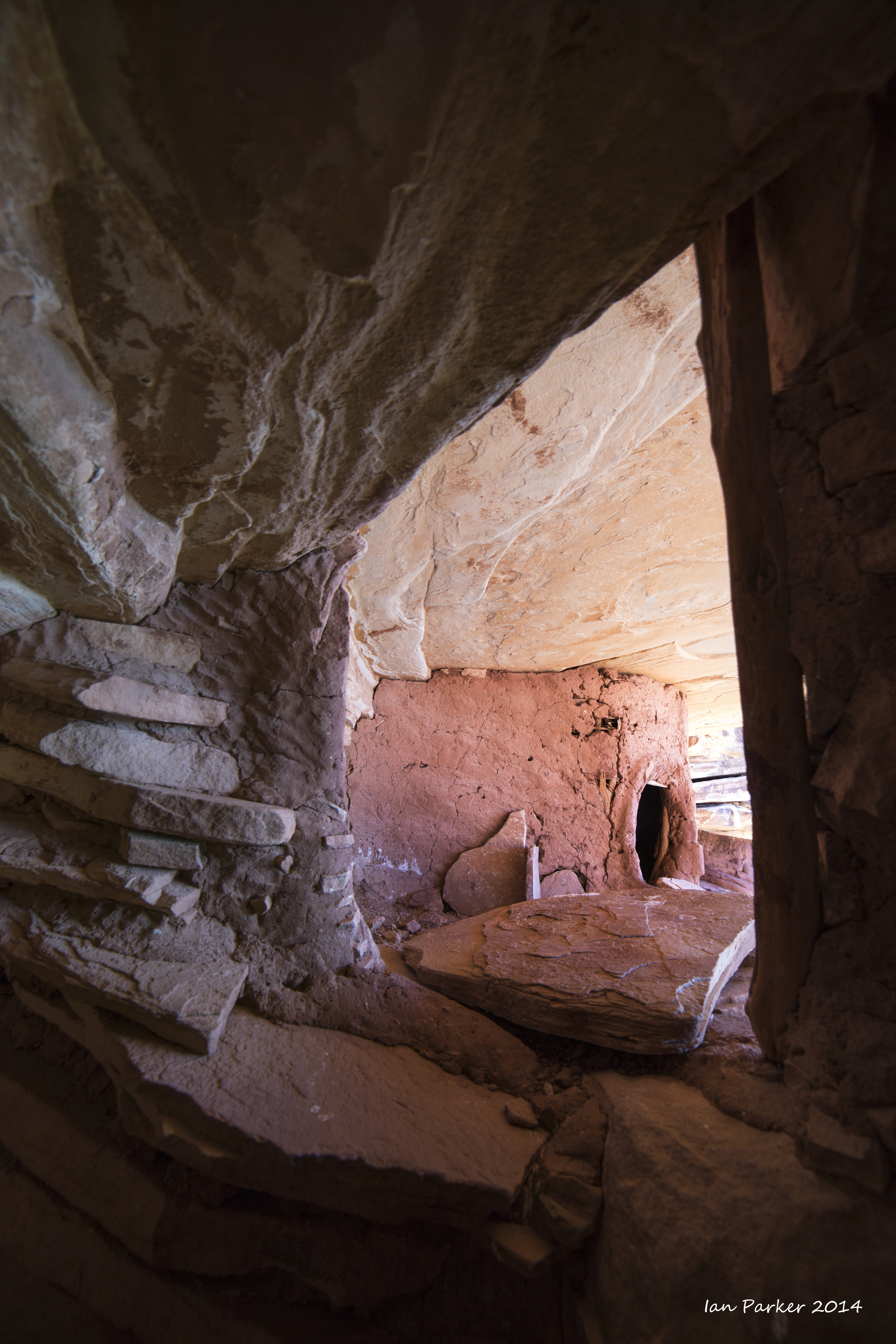
My first destination was the 'Doll House' ruin -very remote and seldom visited. A long drive across rough clay-surface roads, so my visit was brief as I wanted to get out of there well before the forecasted rain began.
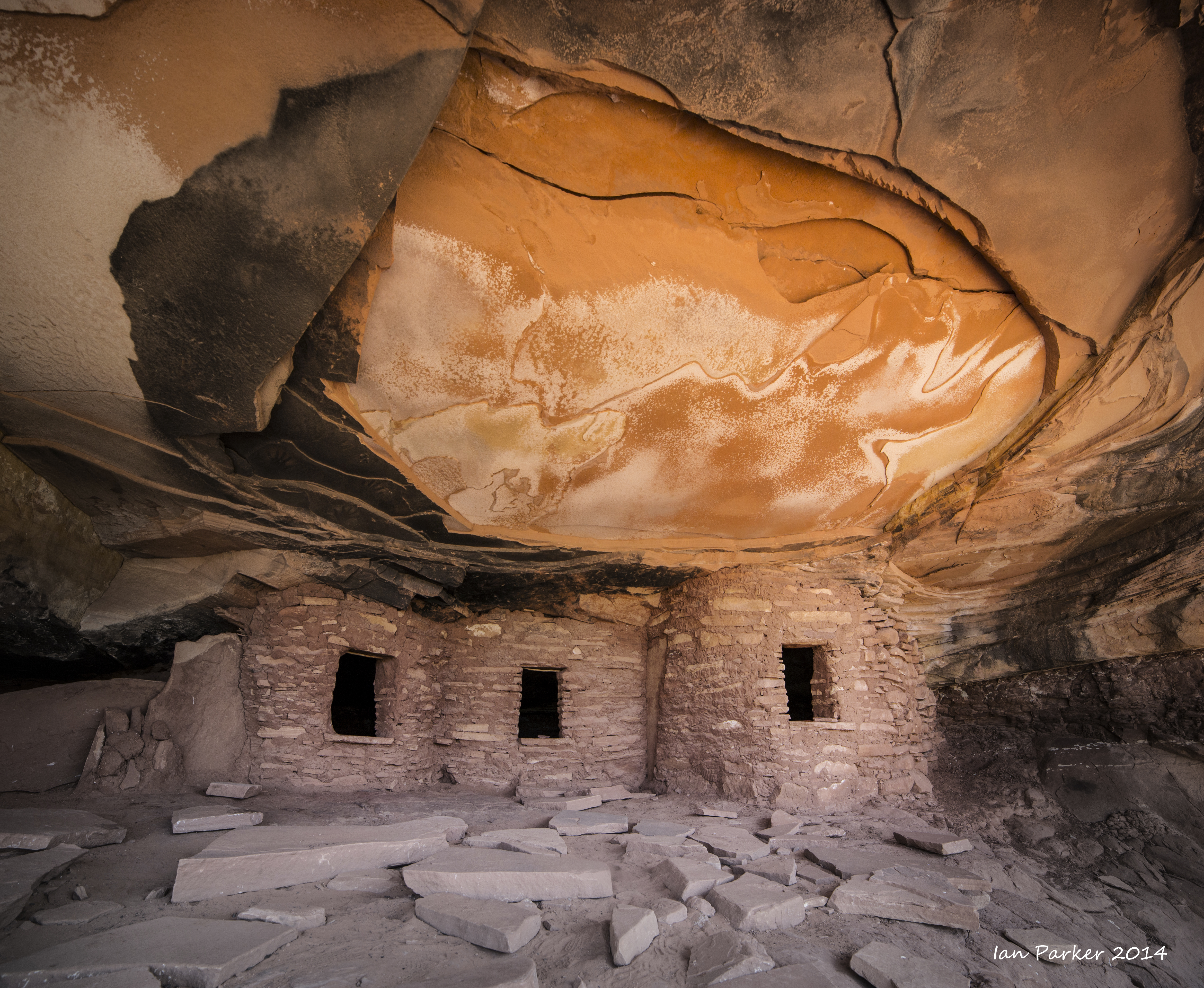
Driving back across Cedar Mesa, a short hike down Road Canyon to the better known 'Fallen Roof' ruin
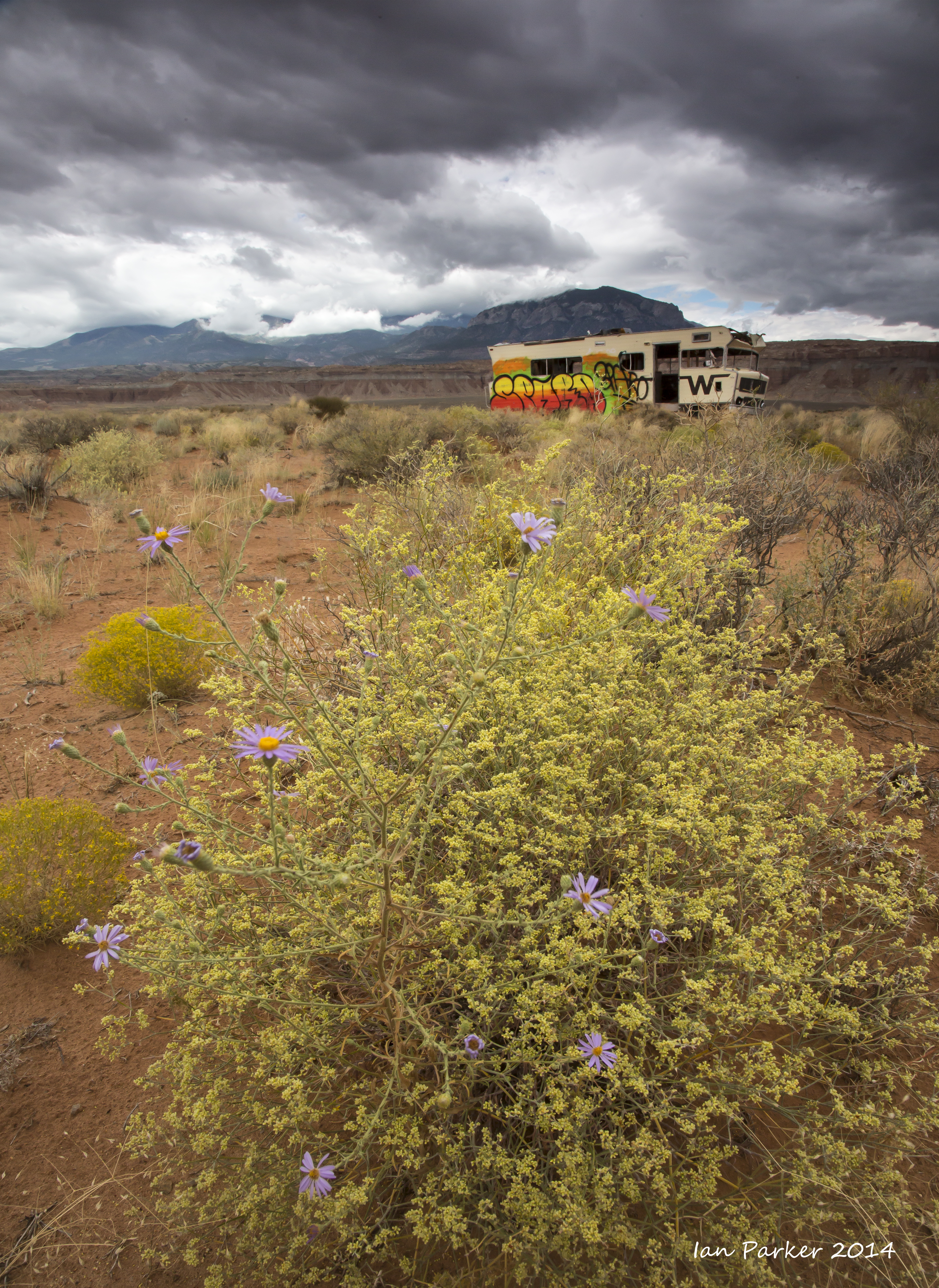
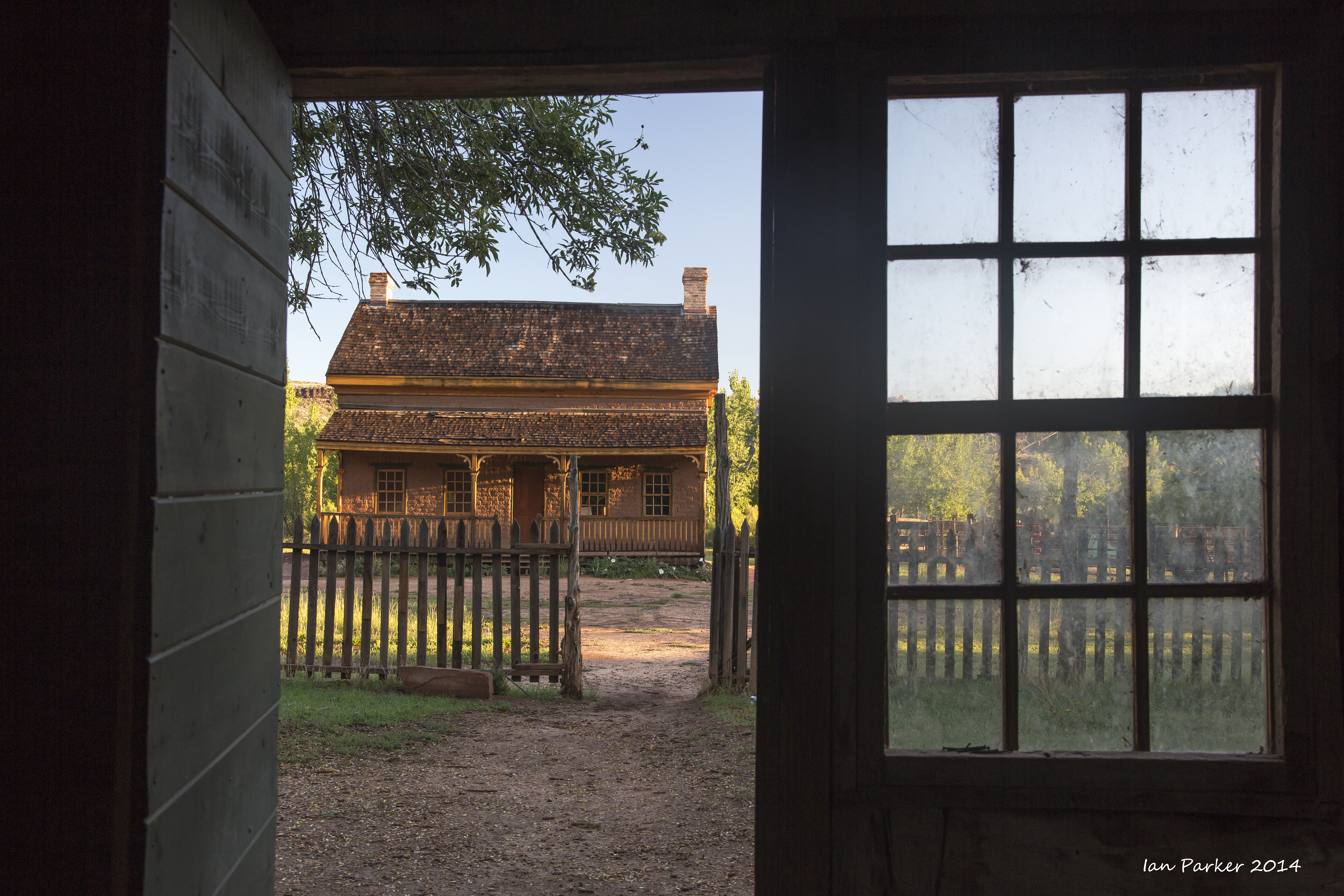
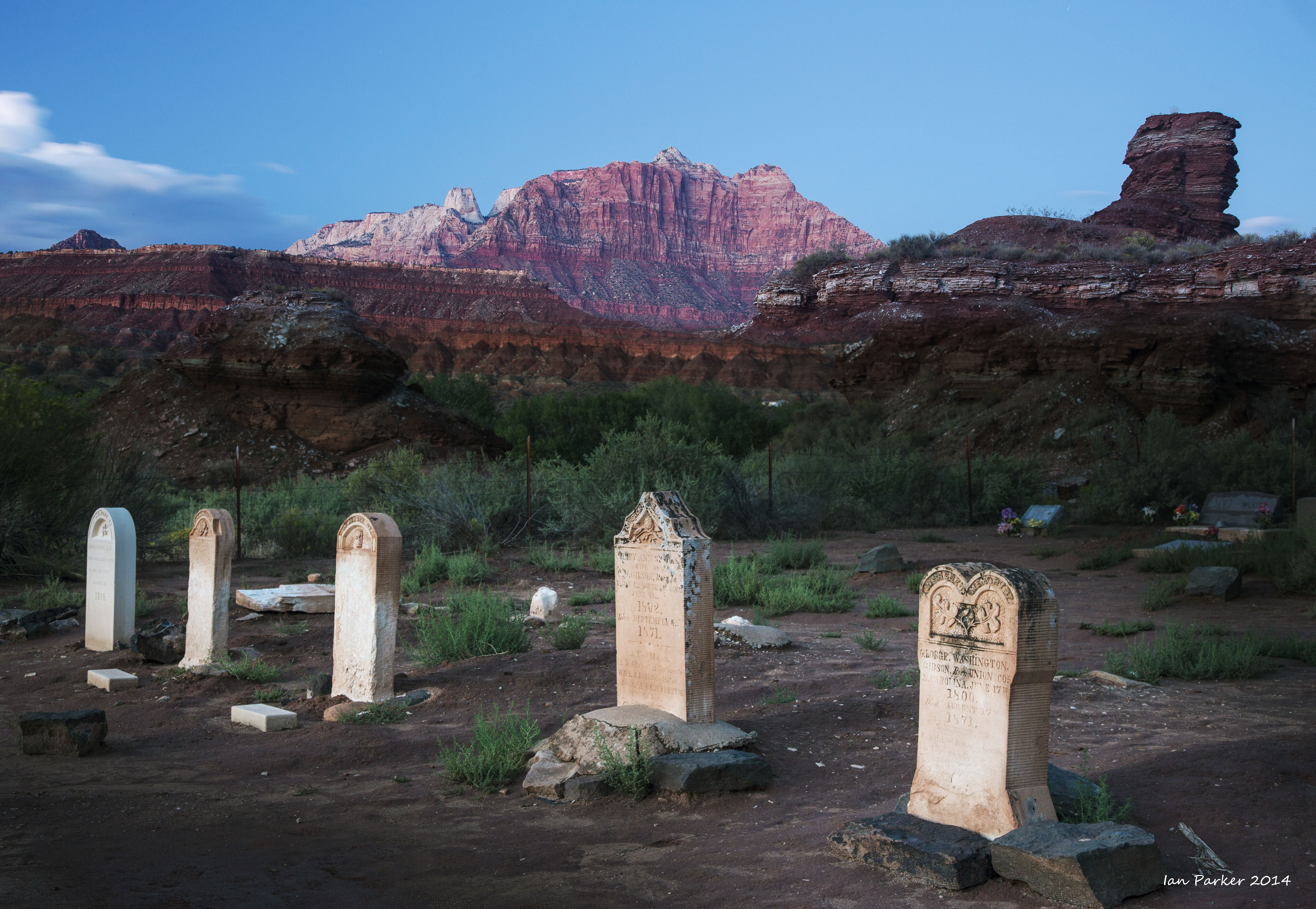
Grafton ghost town, near Zion National Park
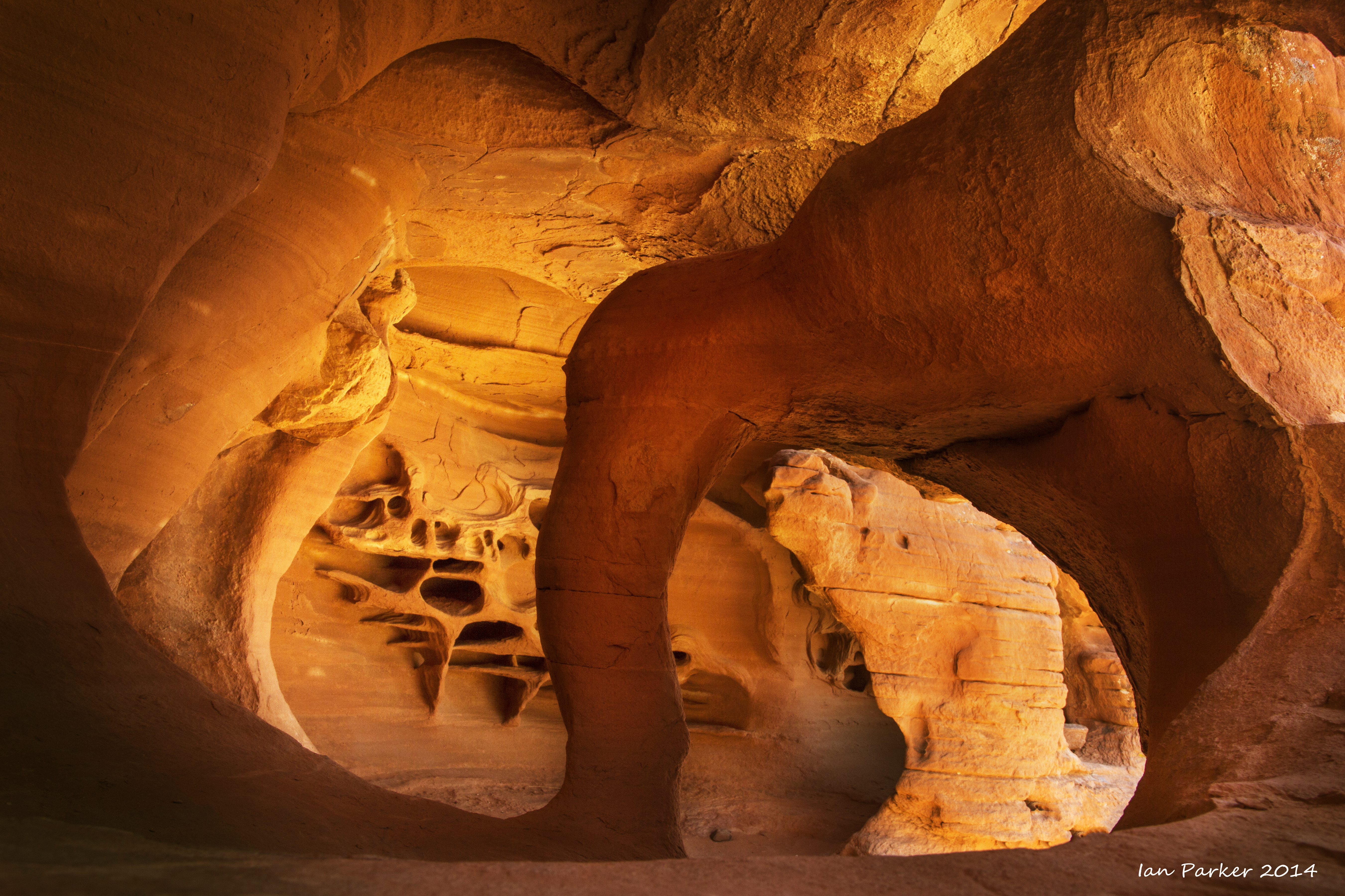
Returning home, heavy rains from hurricane Norbert had washed out a section of I15 between Mesquite and Las Vegas. Cars were being detoured through Valley of Fire State Park, and I took that opportunity to visit again the 'Windstone Cave'. Ingongruously, heavy interstate traffic was now passing within a few hundred yards of this 'secret' location!
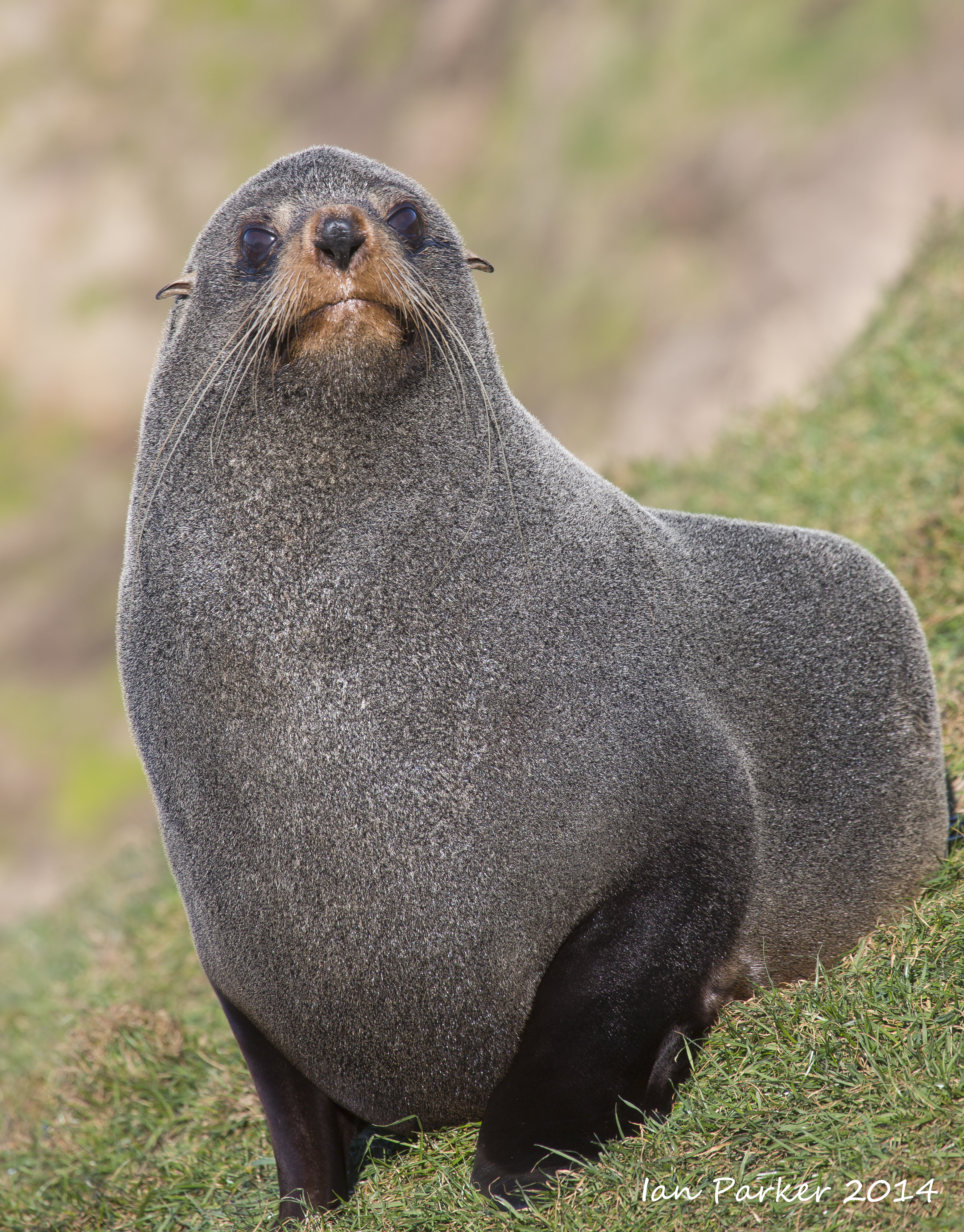
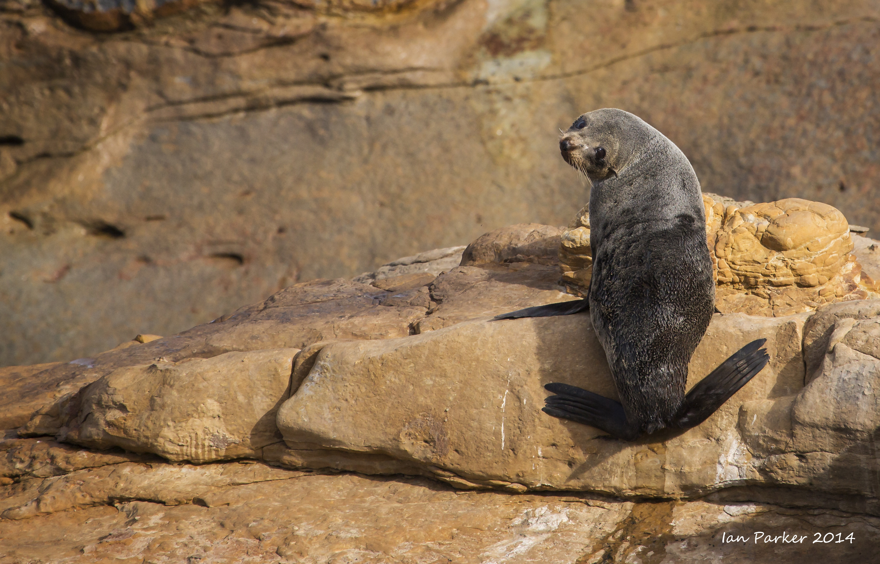
August 2nd-16th: Australia and New Zealand
An invitation to speak at a meeting of the International Union of Pure and Applied Biophysics (IUPAB) in Brisbane provided a nice excuse for Anne and I to take a two-week trip to Australia and New Zealand.
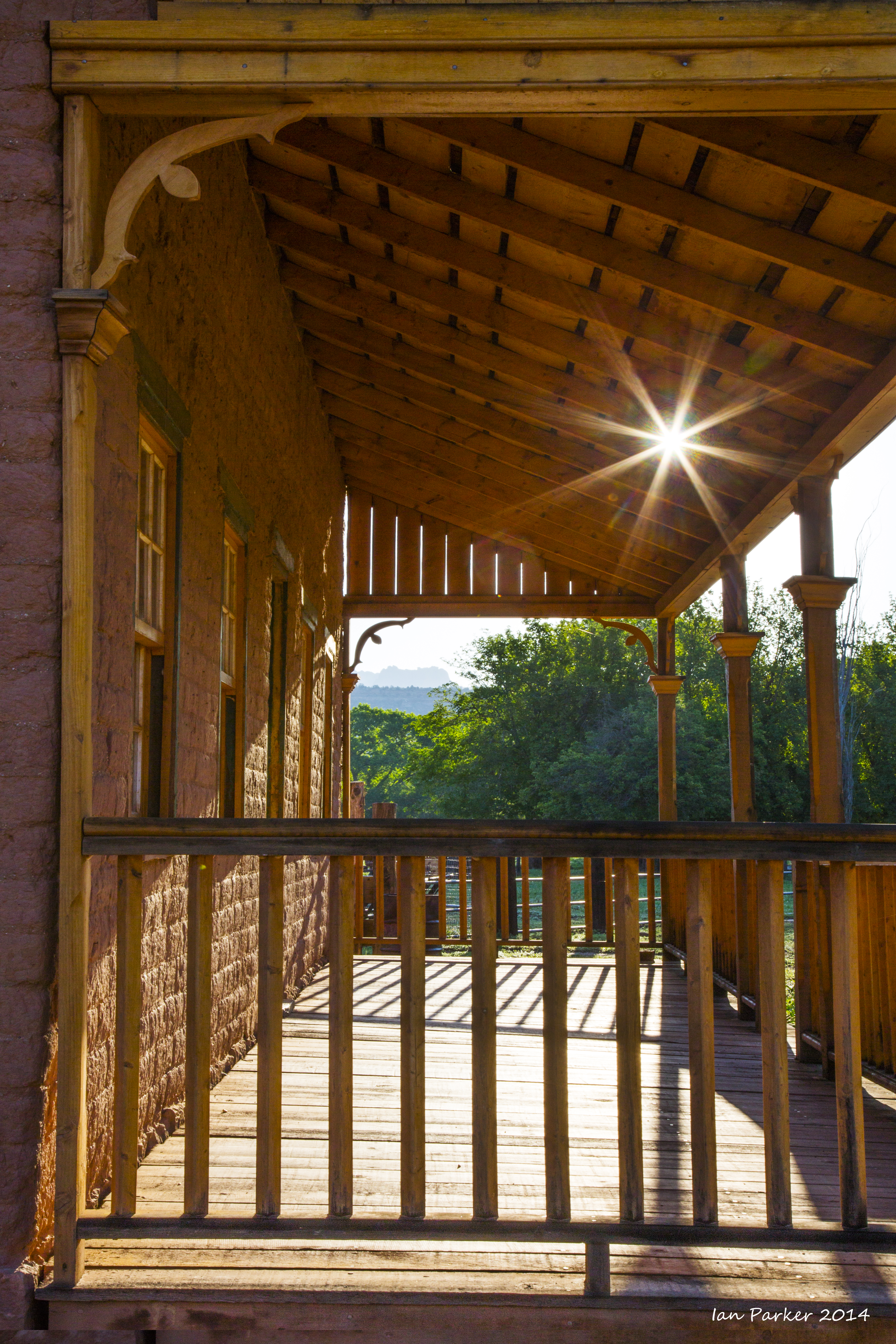
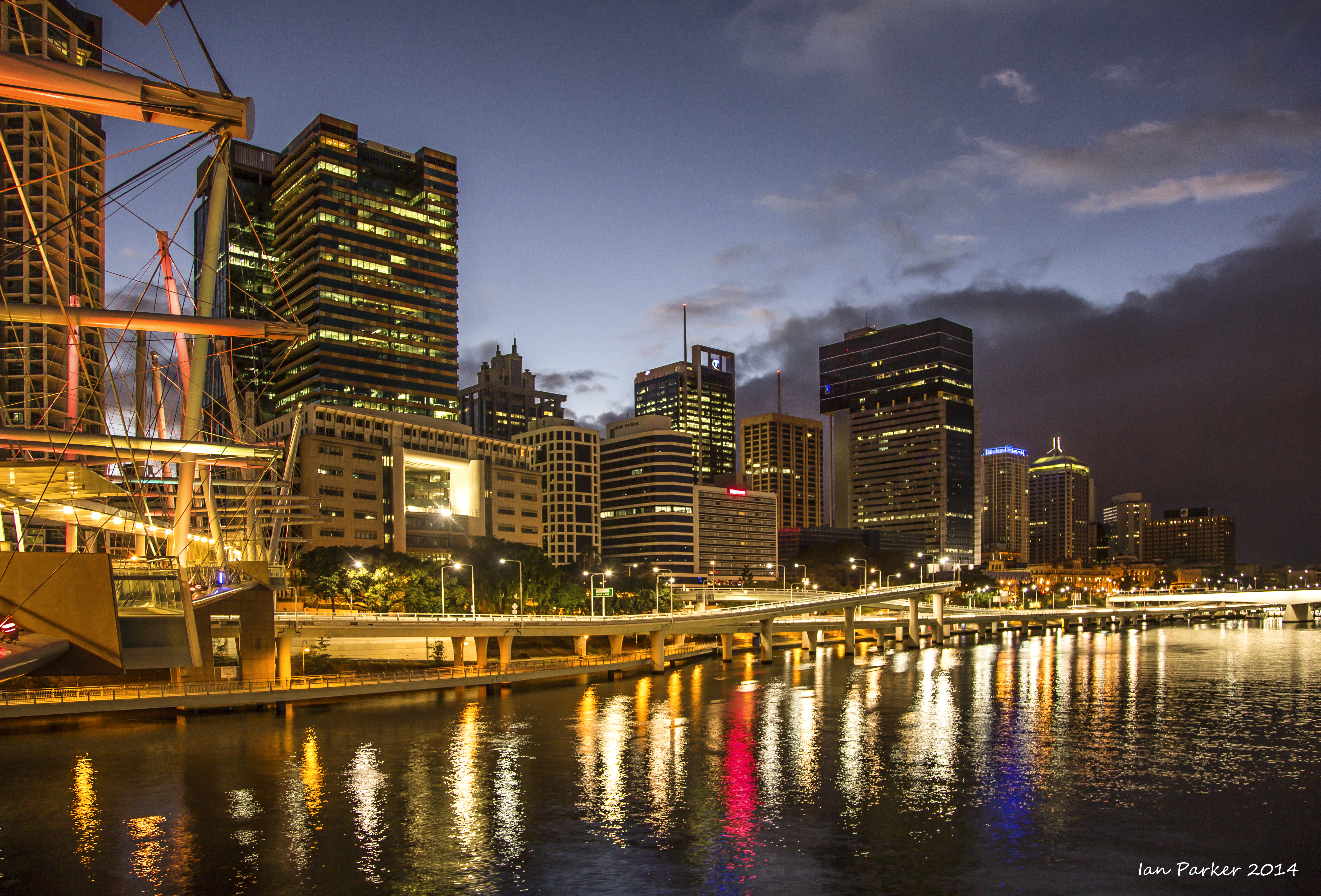
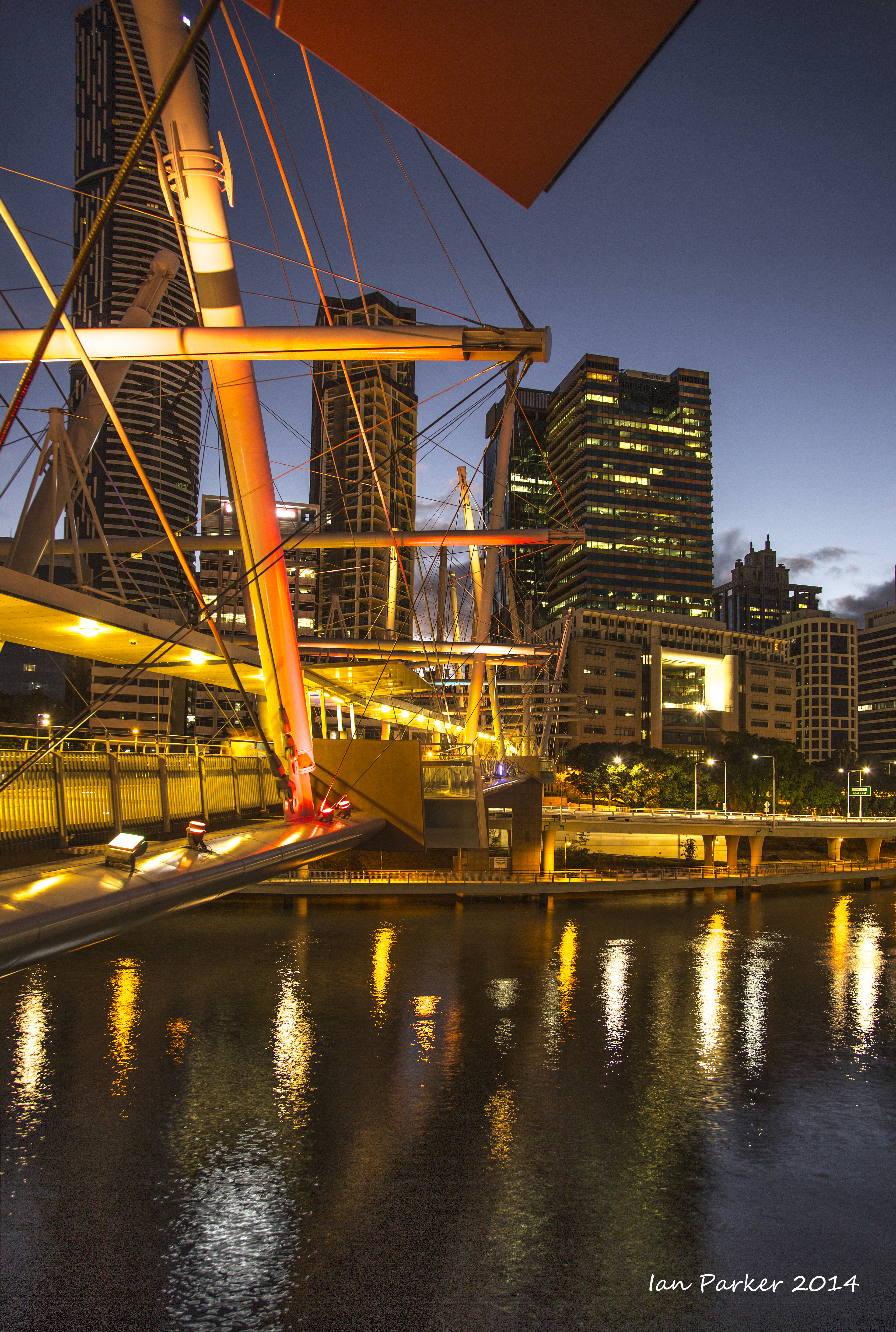
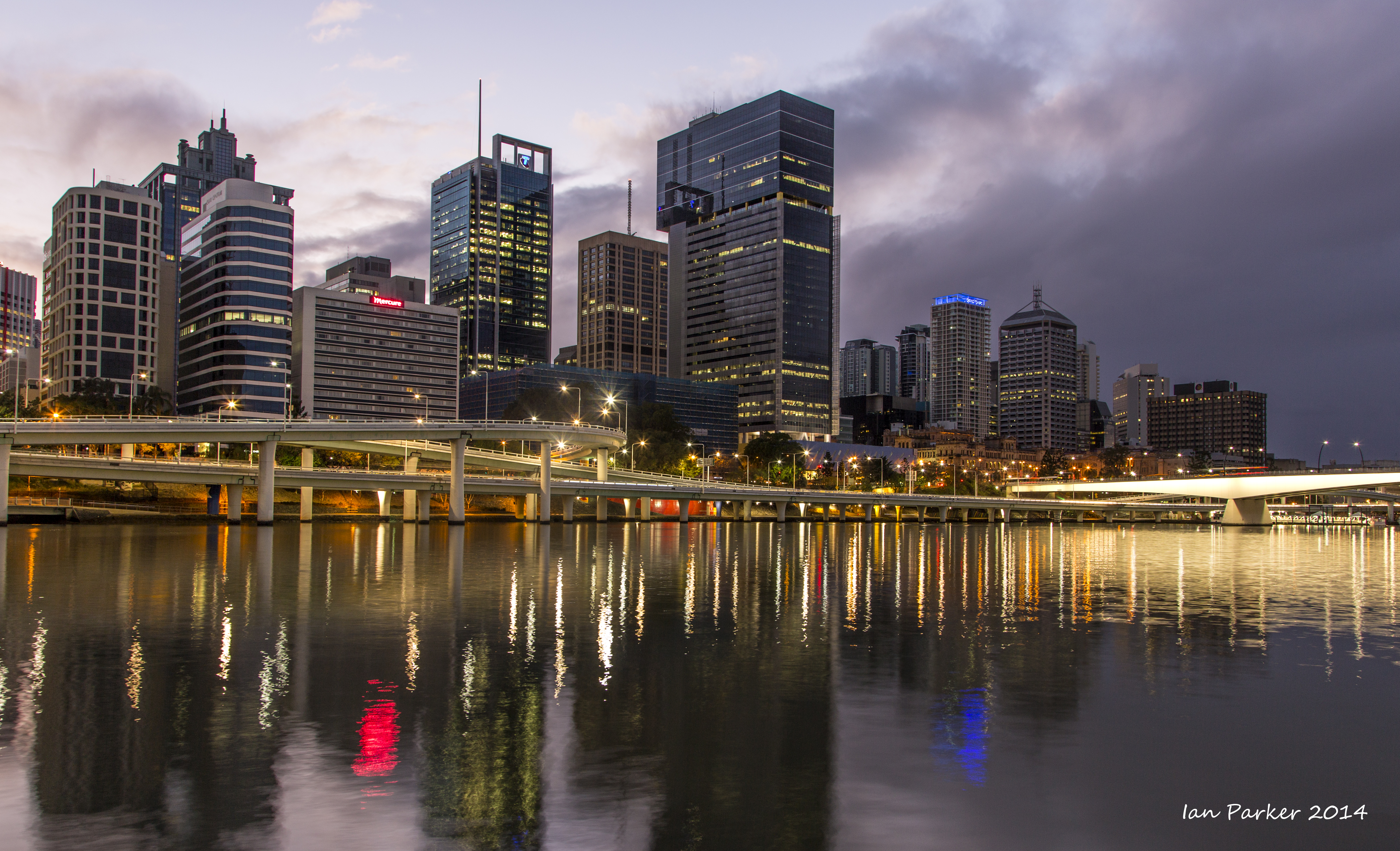
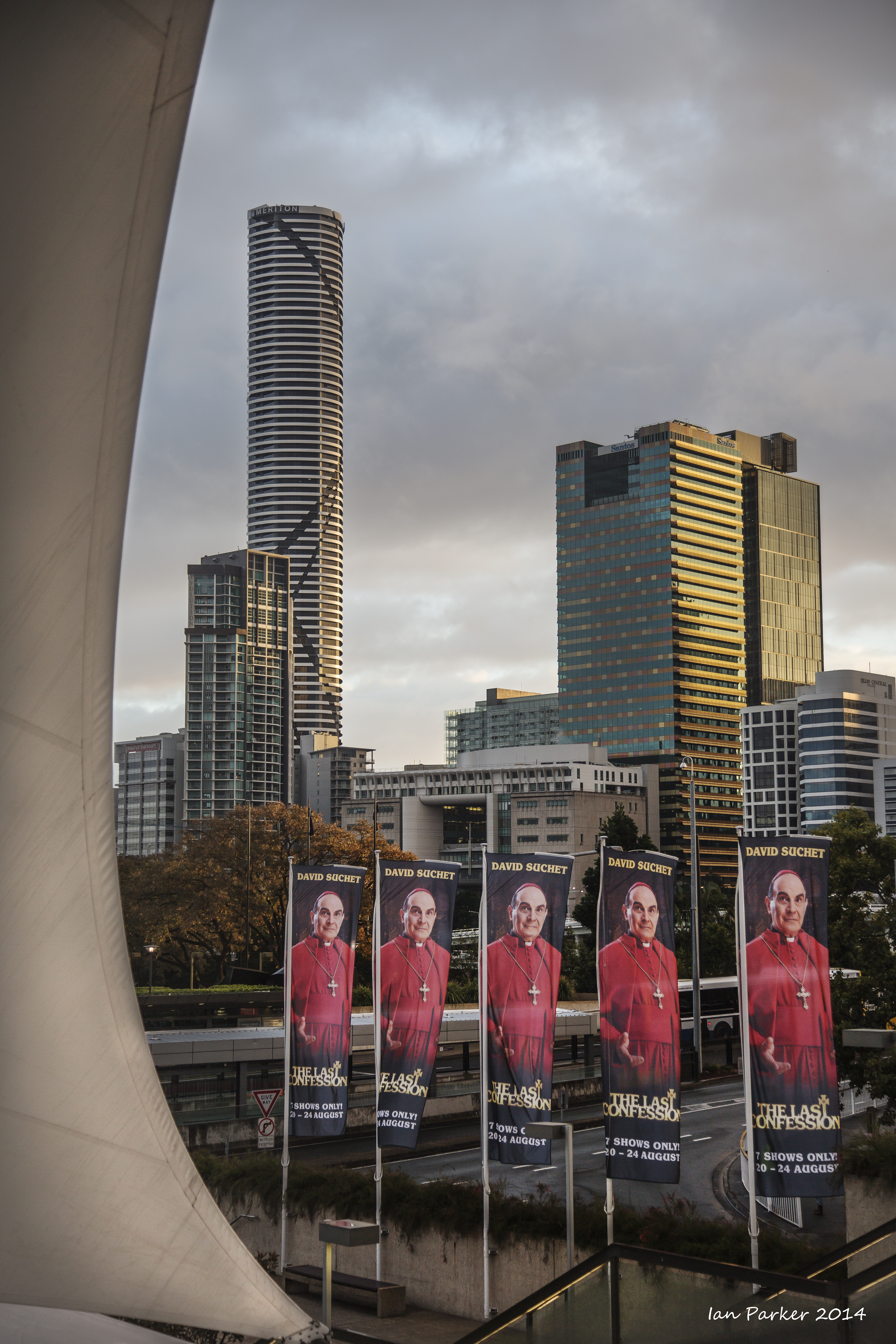
Bisbane
Our hotel was located next to the Brisbane river, just across from the museums and cultural centers on the South bank and next to the Kurilpa bridge, the world's largest tensegrity bridge. The bridge and footpath along the river bank made for a great dawn walk, with some interesting photographic possibilities.
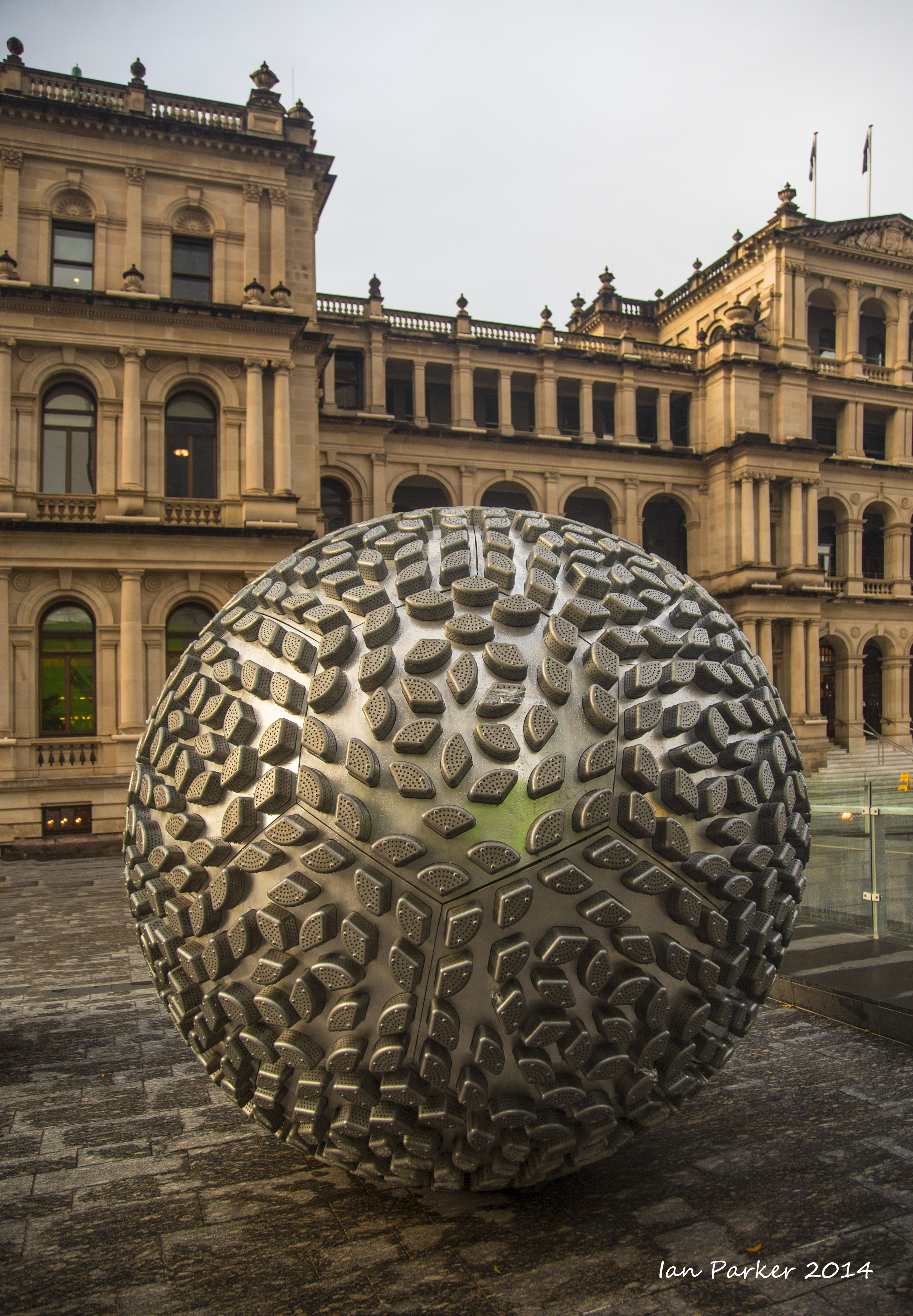
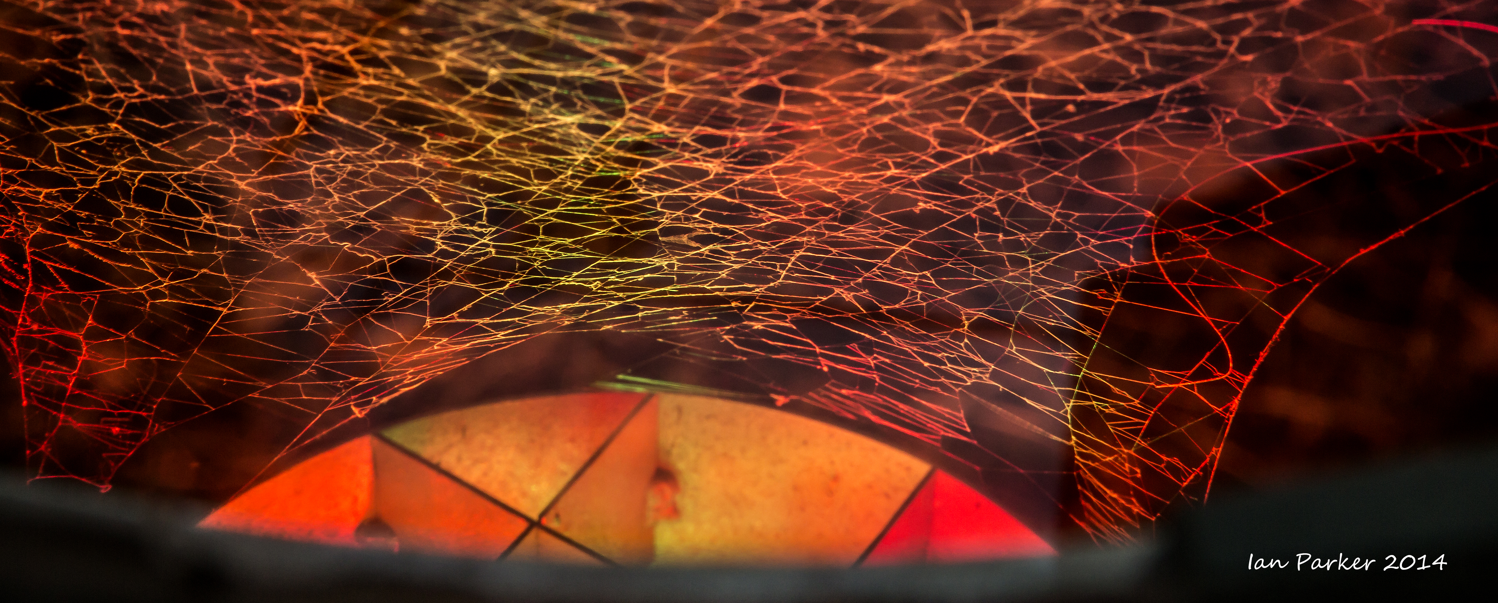
Some Brisbane artwork
New Zealand
|
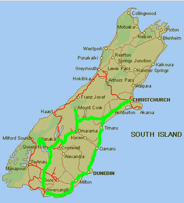
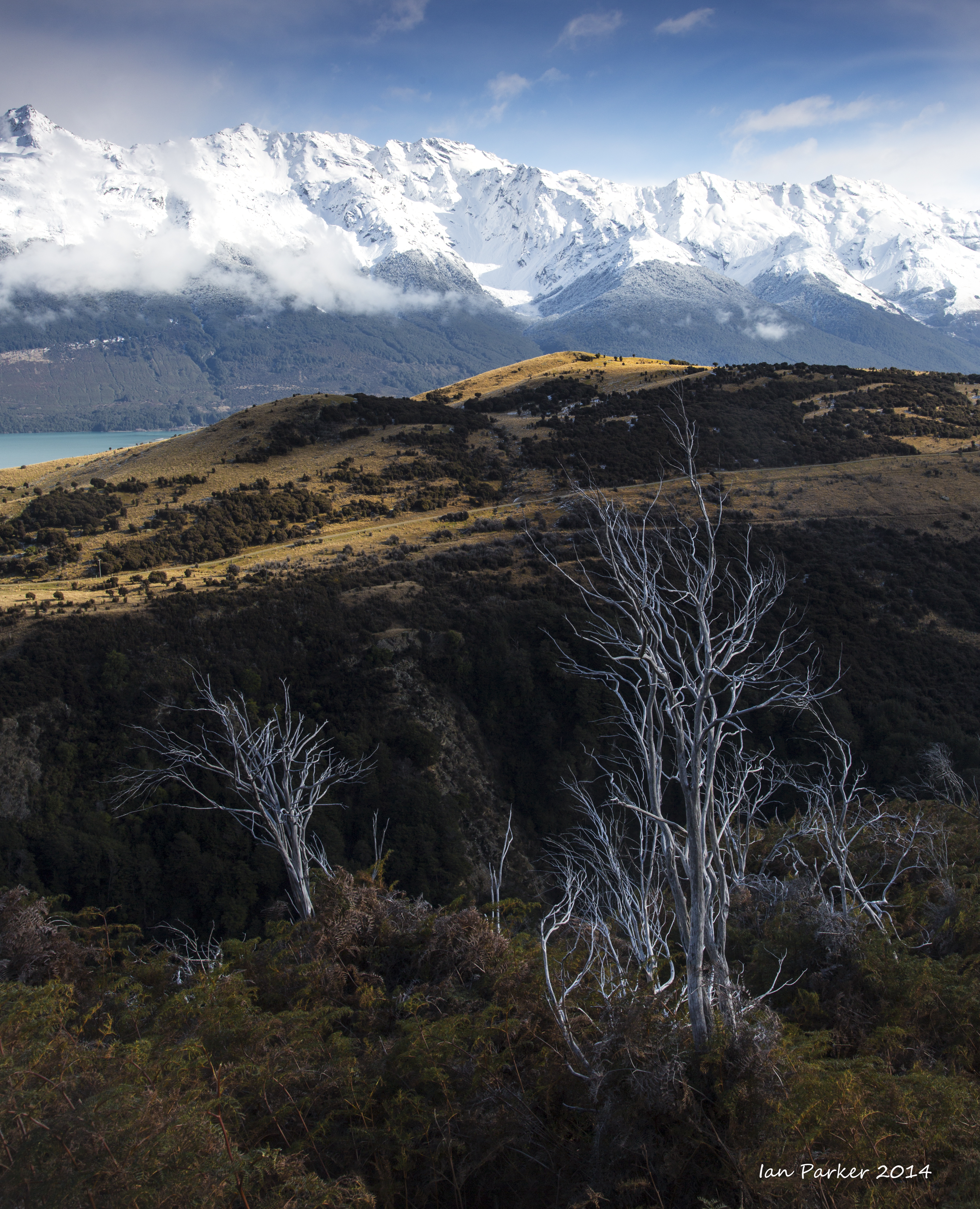
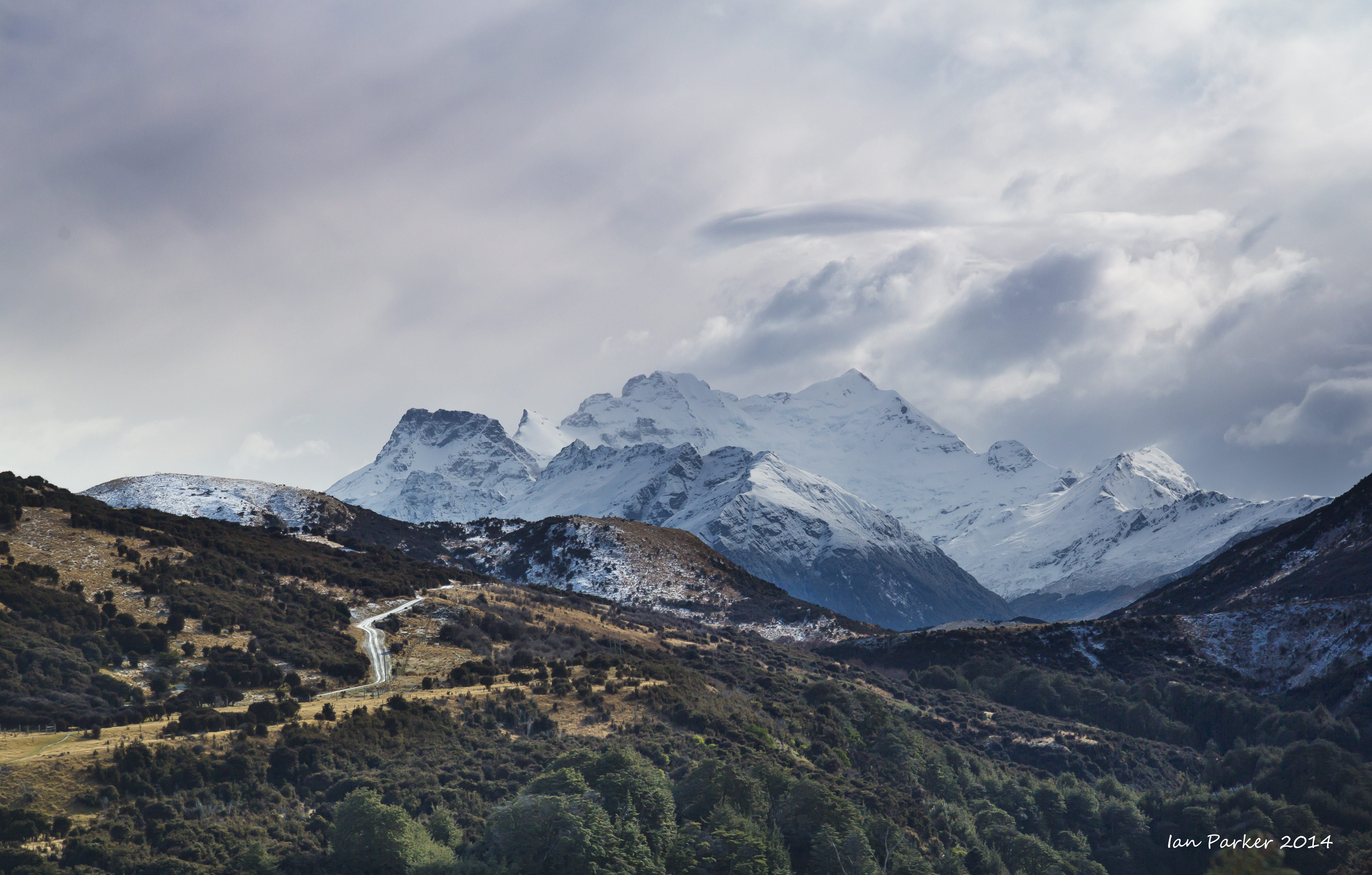
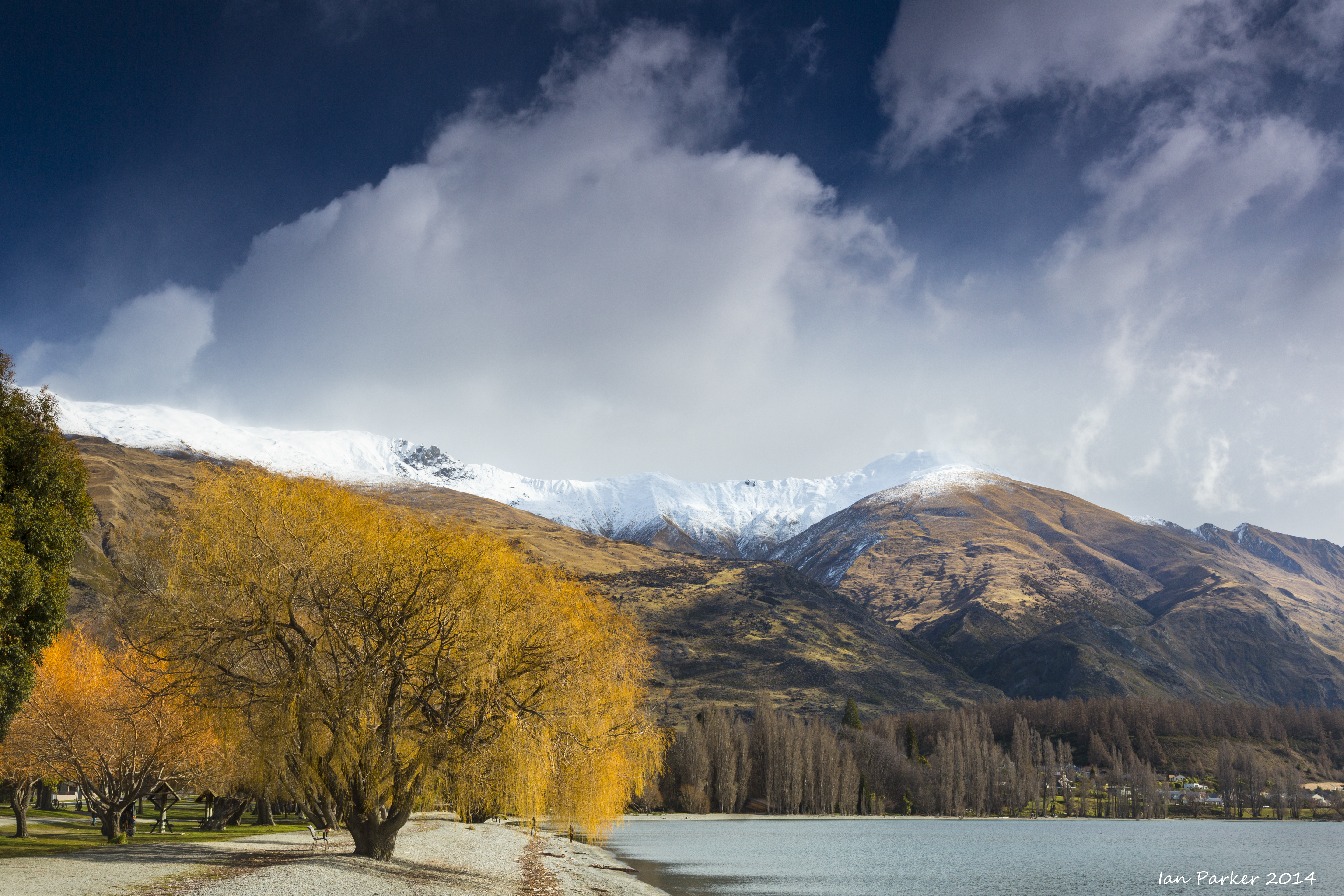
From Brisbane we flew to Christchurch and rented a VW campervan from KEA. Our travels took us down the east coast and around the very southern tip of the south island to Invercargill. From there we had hoped to visit Milford Sound, but heavy snowfall had closed the road so instead we journeyed along the spine of the Southern Alps through Queenstown to Mt. Cook/Aoraki. The photos below are in chronological sequence, following our clockwise loop marked in green on the map.
Our excellent guide was NZ Frenzy, a privately published book which covers "all the must-see places plus non-touristy hidden wonders" |
|
|
 |
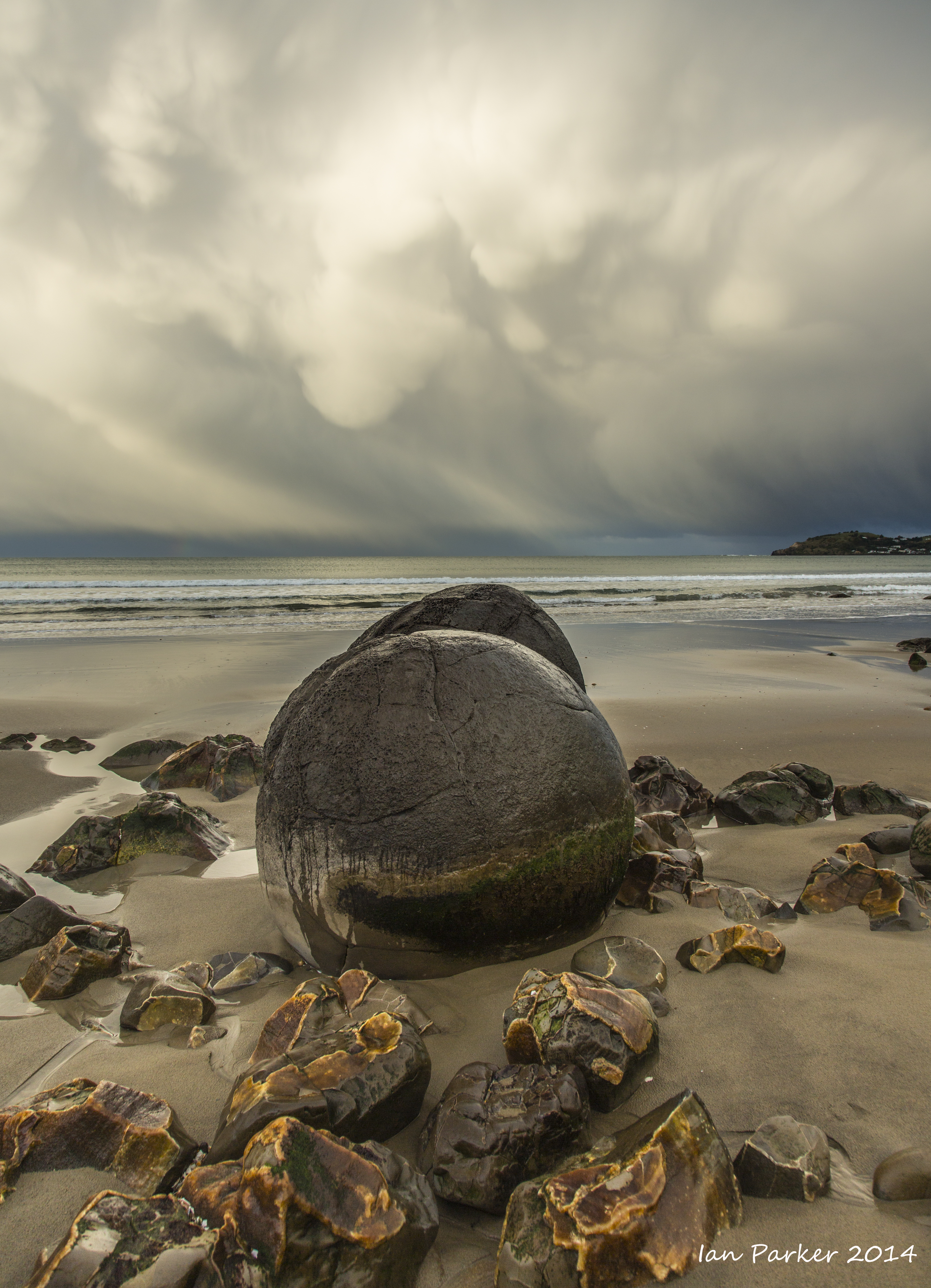
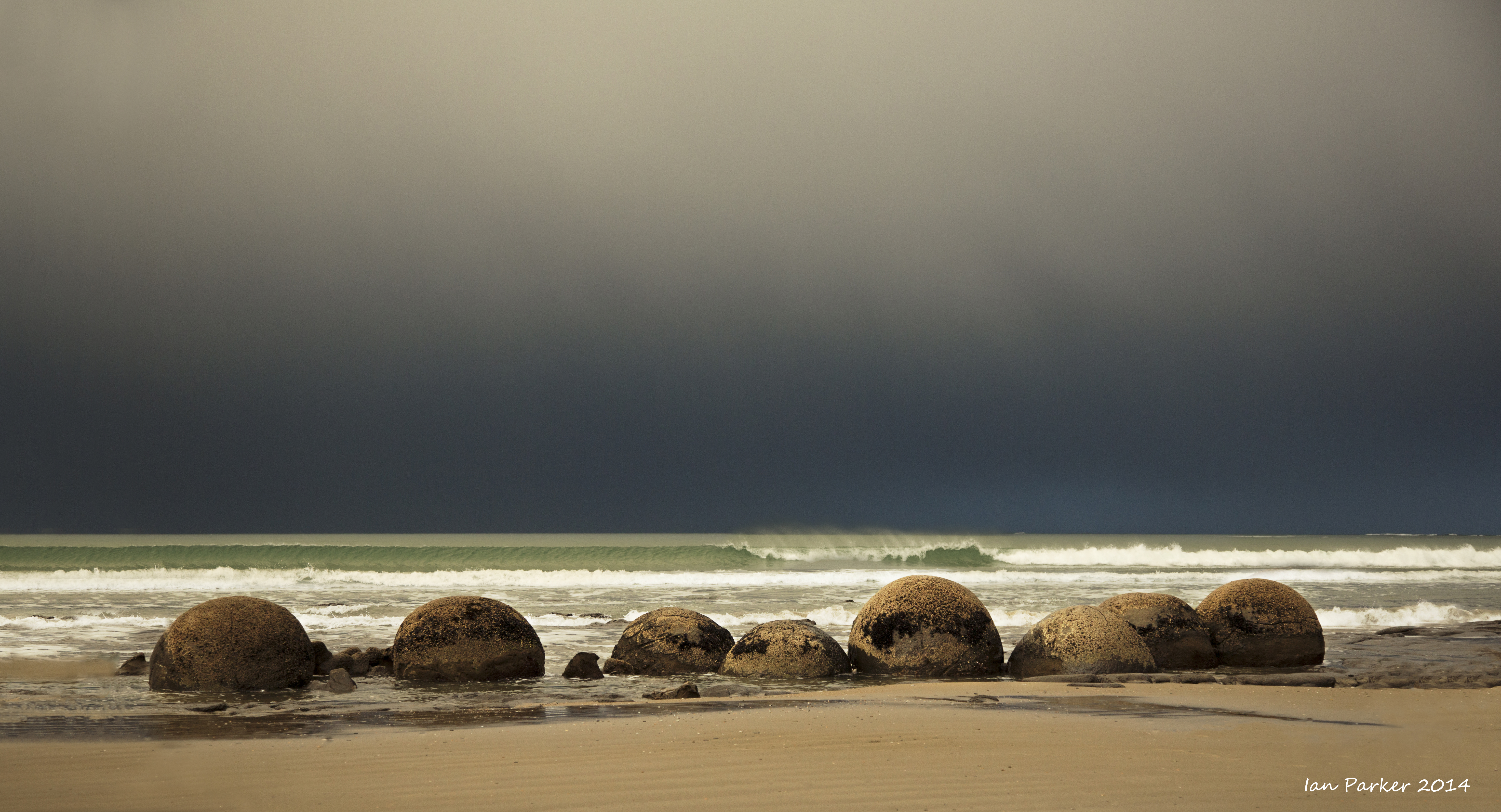
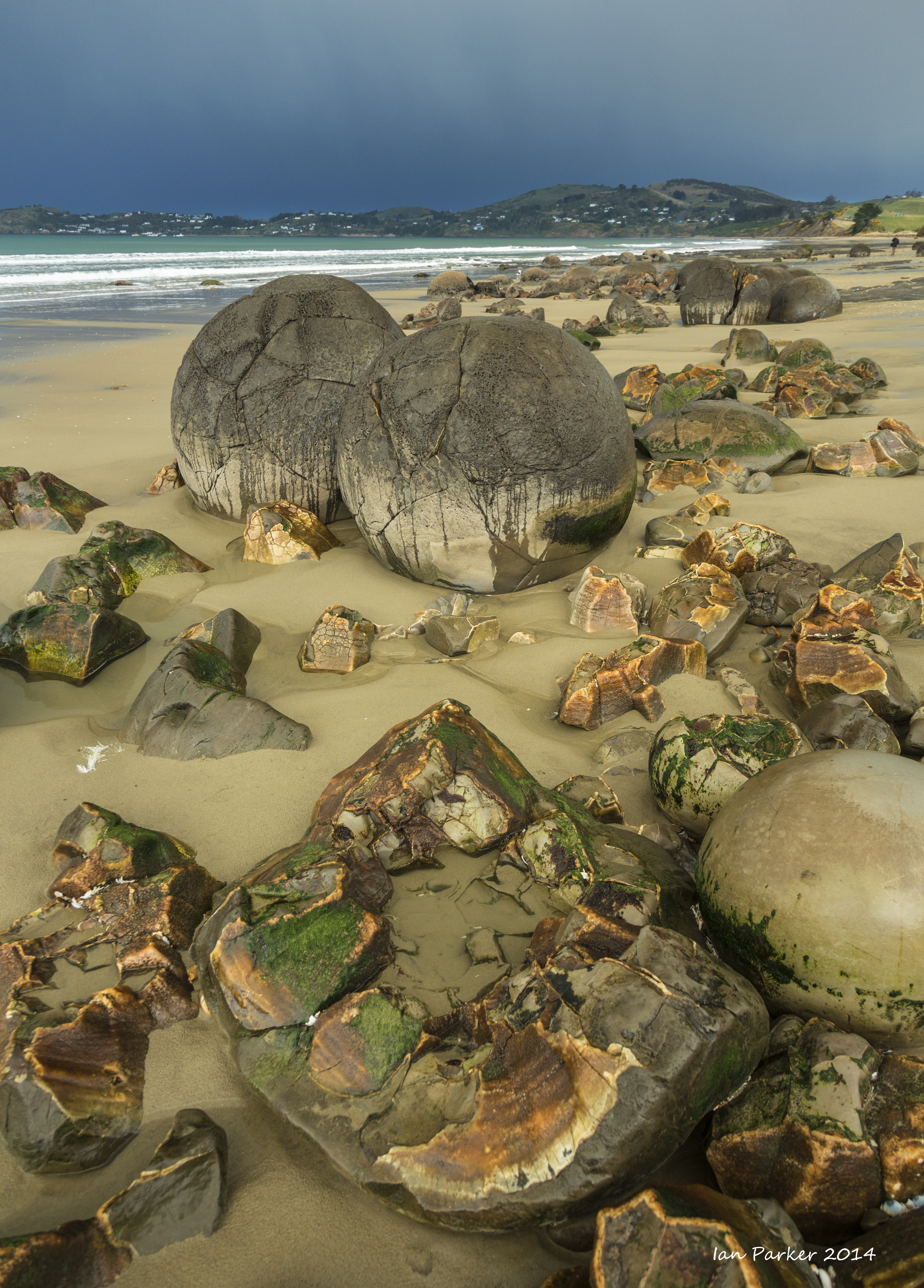
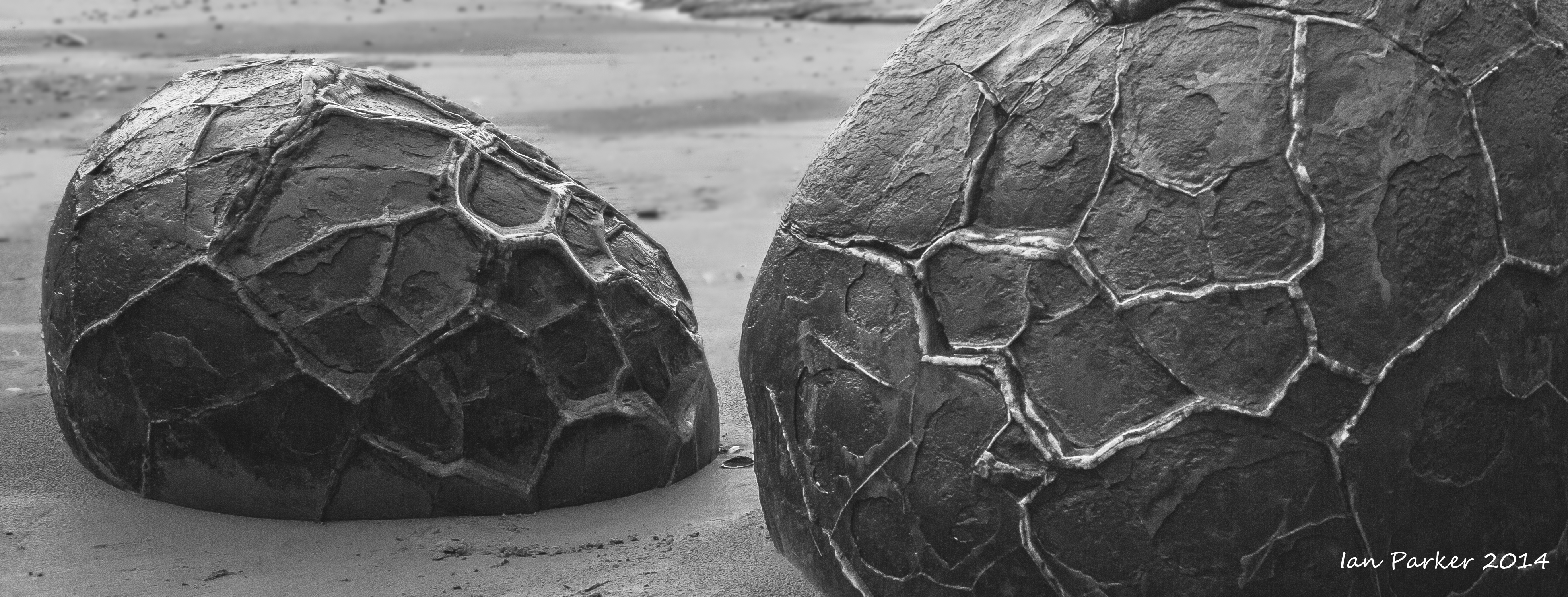
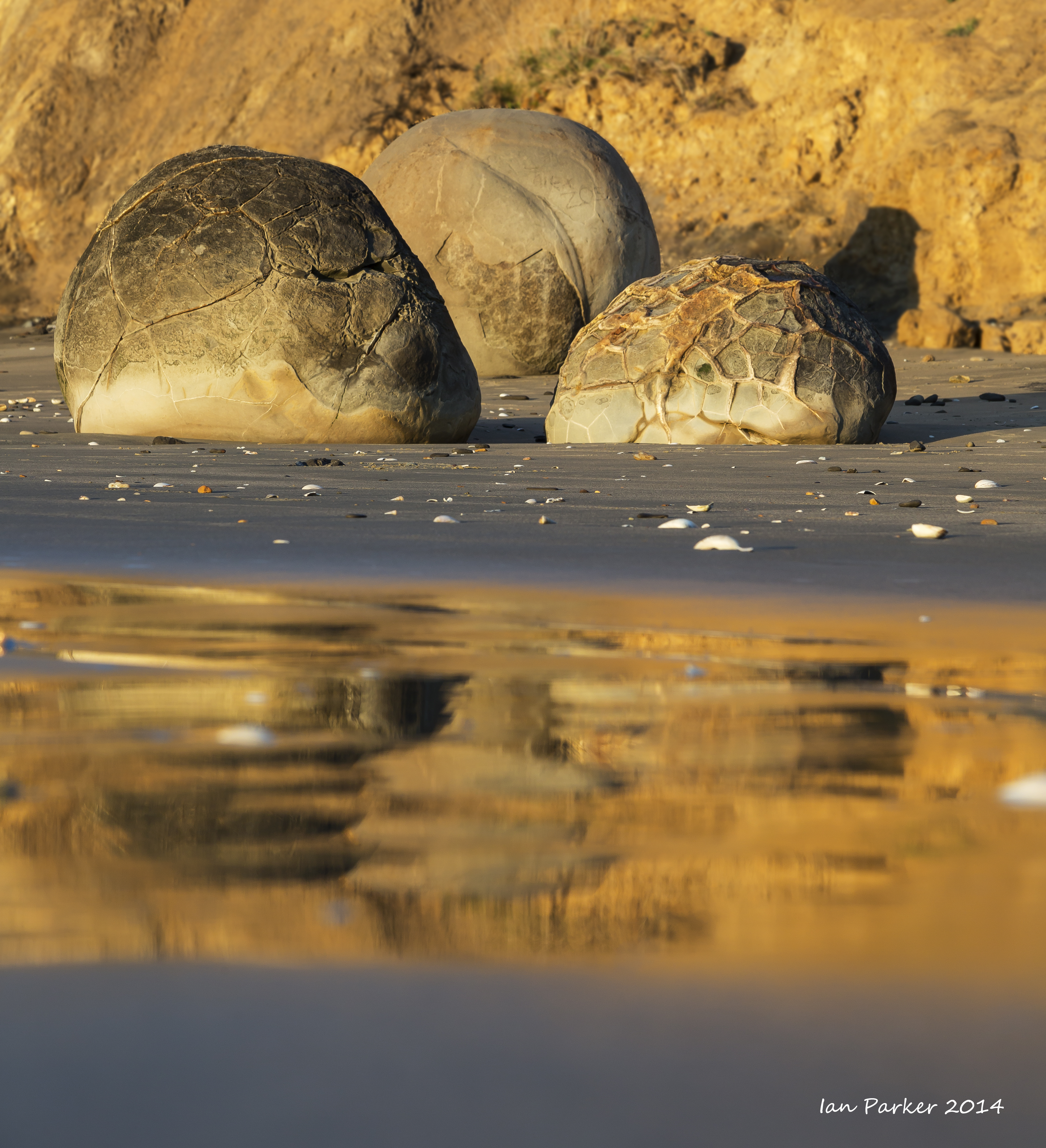
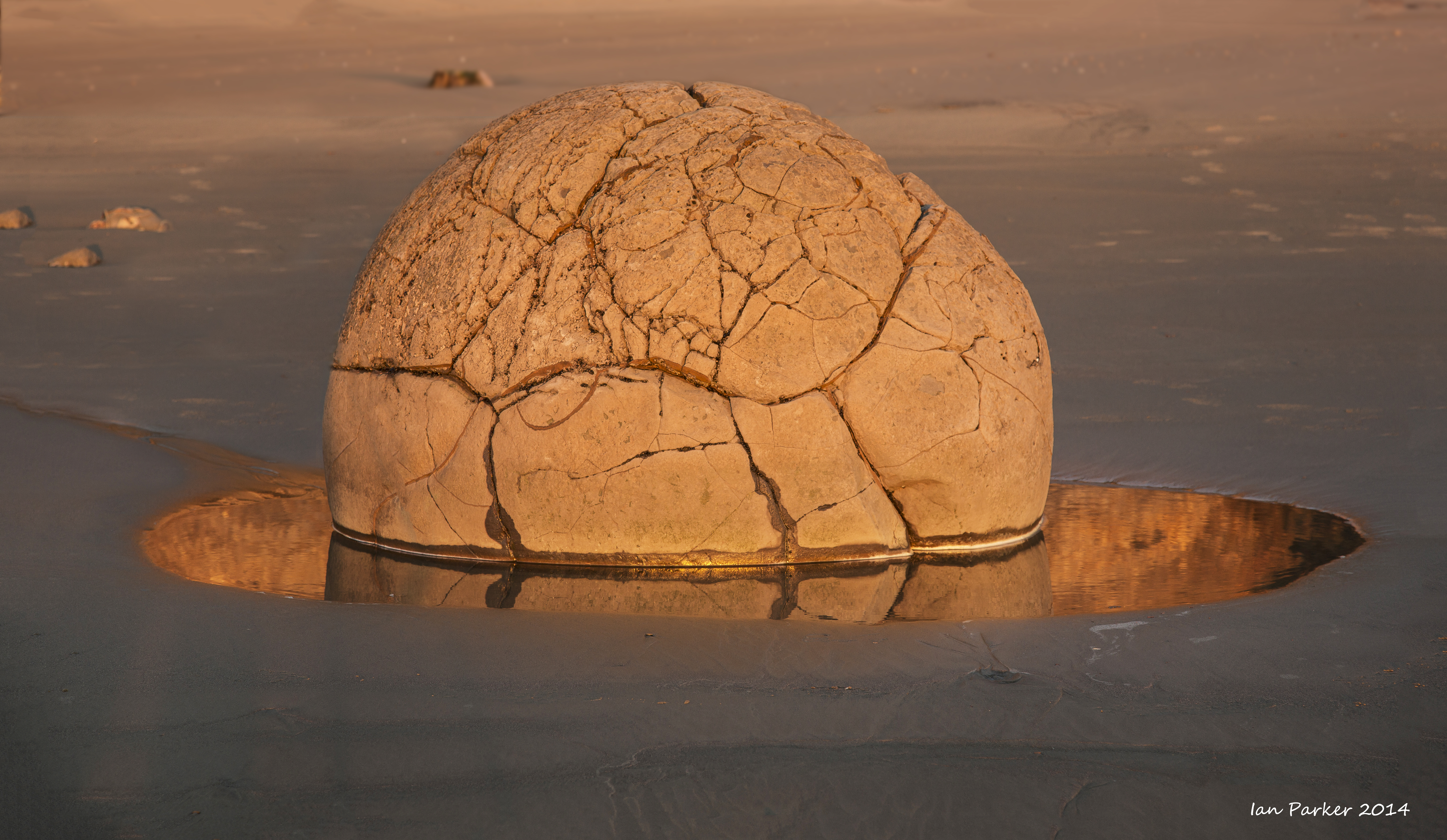
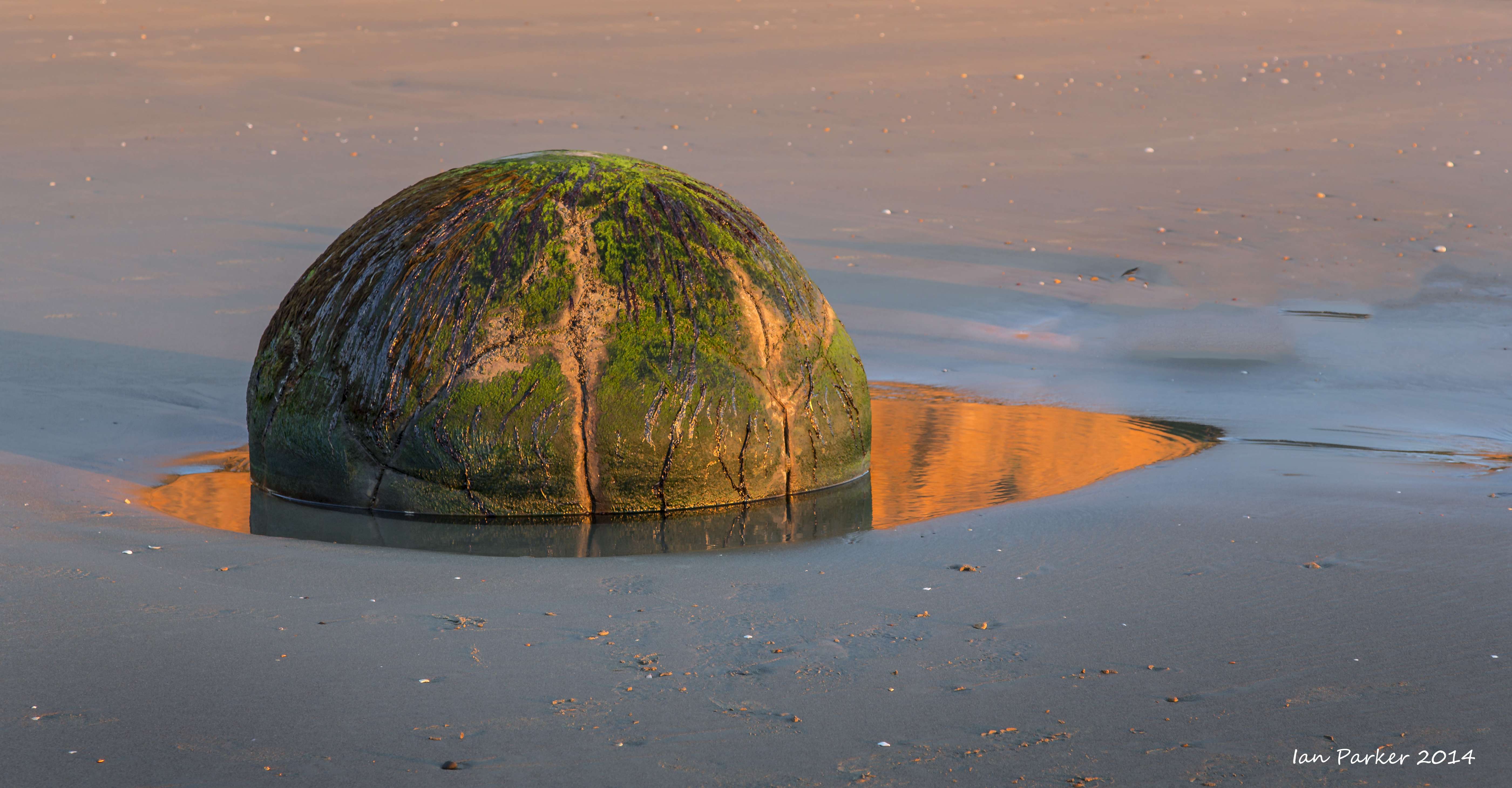
The Moeraki Boulders
Our destination for the first night out was the Moeraki Boulders, unusually large and spherical concretions scattered along a beach south of Oemaru. In appearance, though not geological origin, they resemble our local 'pumpkins' of the California Anza Borrego desert. That evening the sky was deep black with dramatic storm clouds, but the next morning dawned clear.
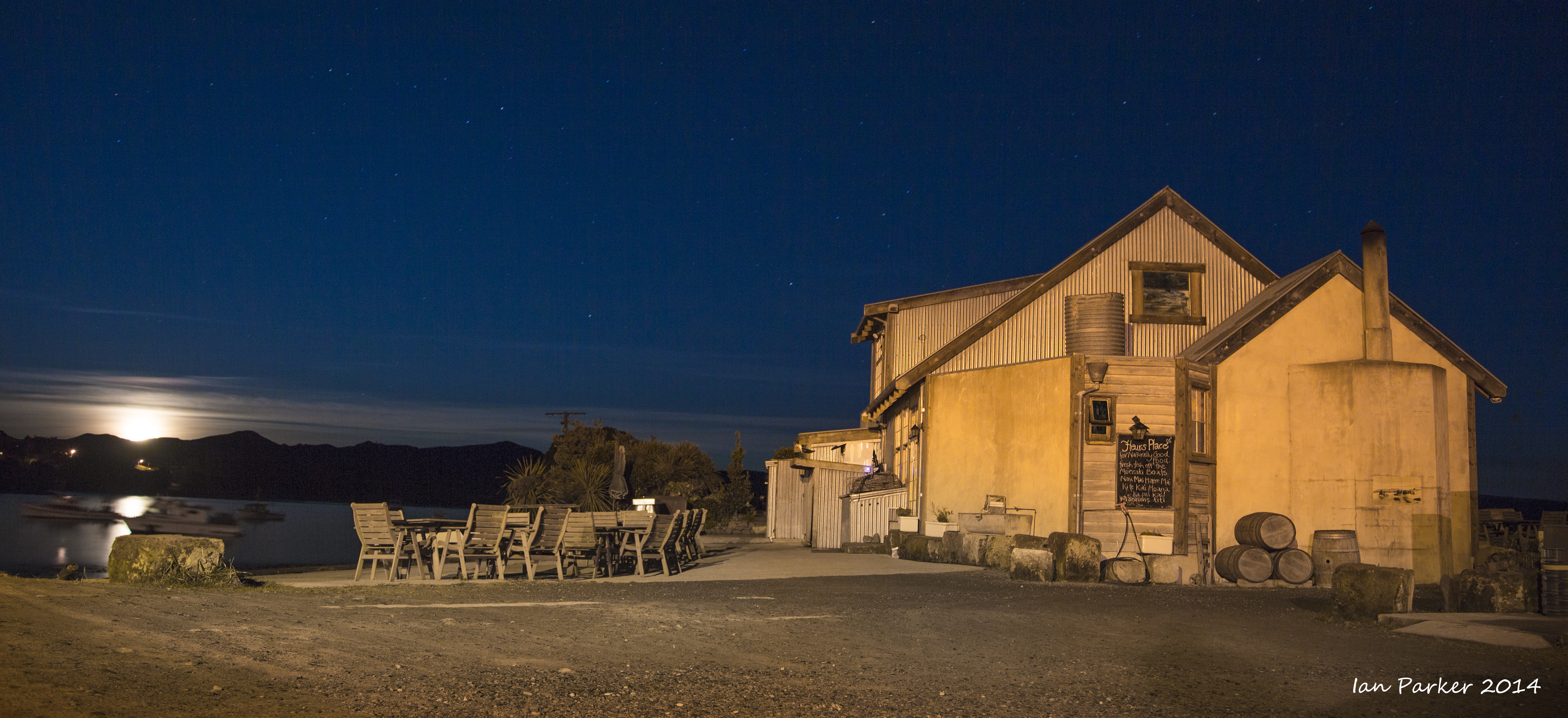
Close by the Boulders is Fleur's Place, a tranquil, internationally renowned restaurant set in a converted whaling station at the old jetty in Moeraki village.
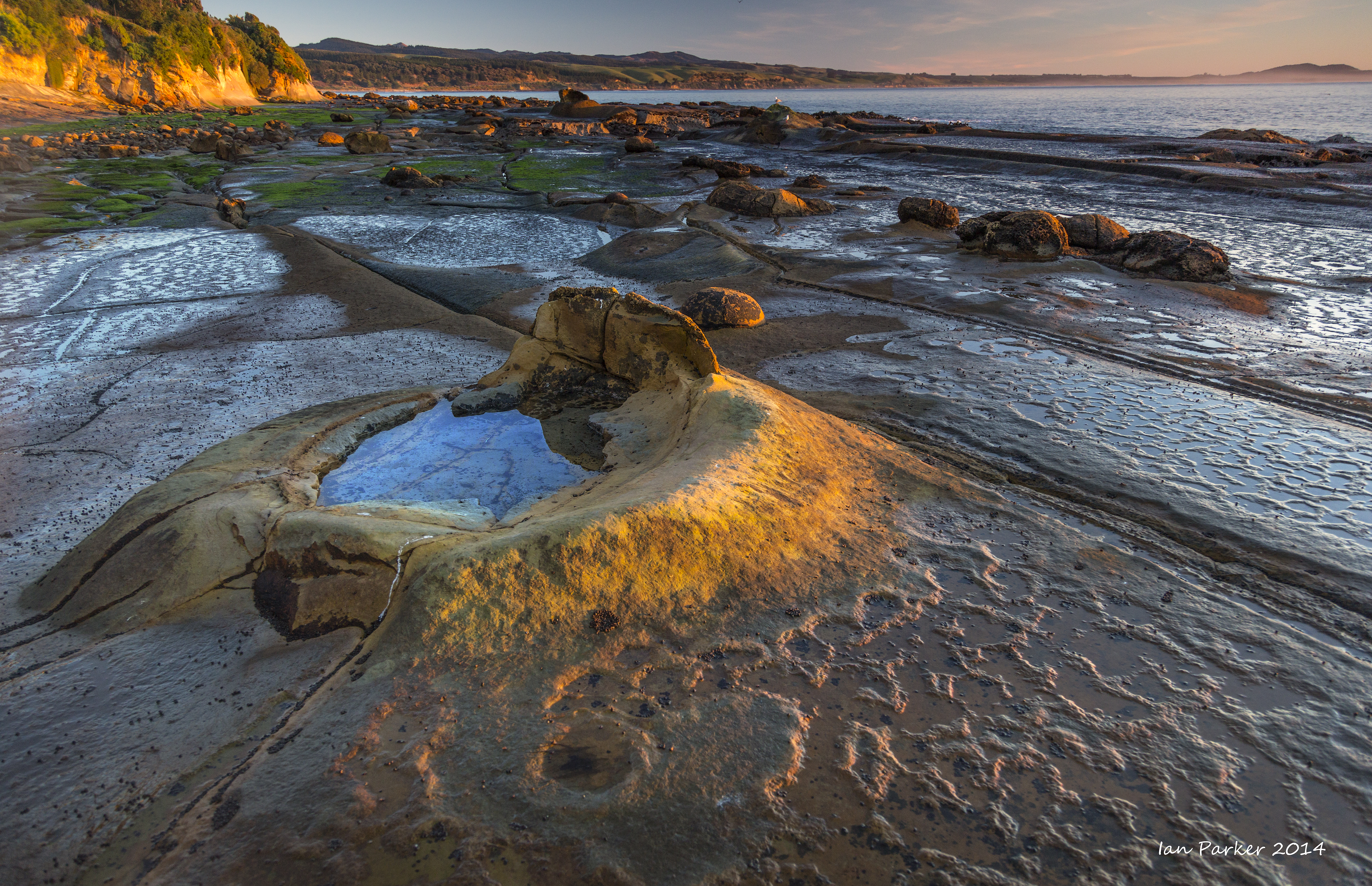
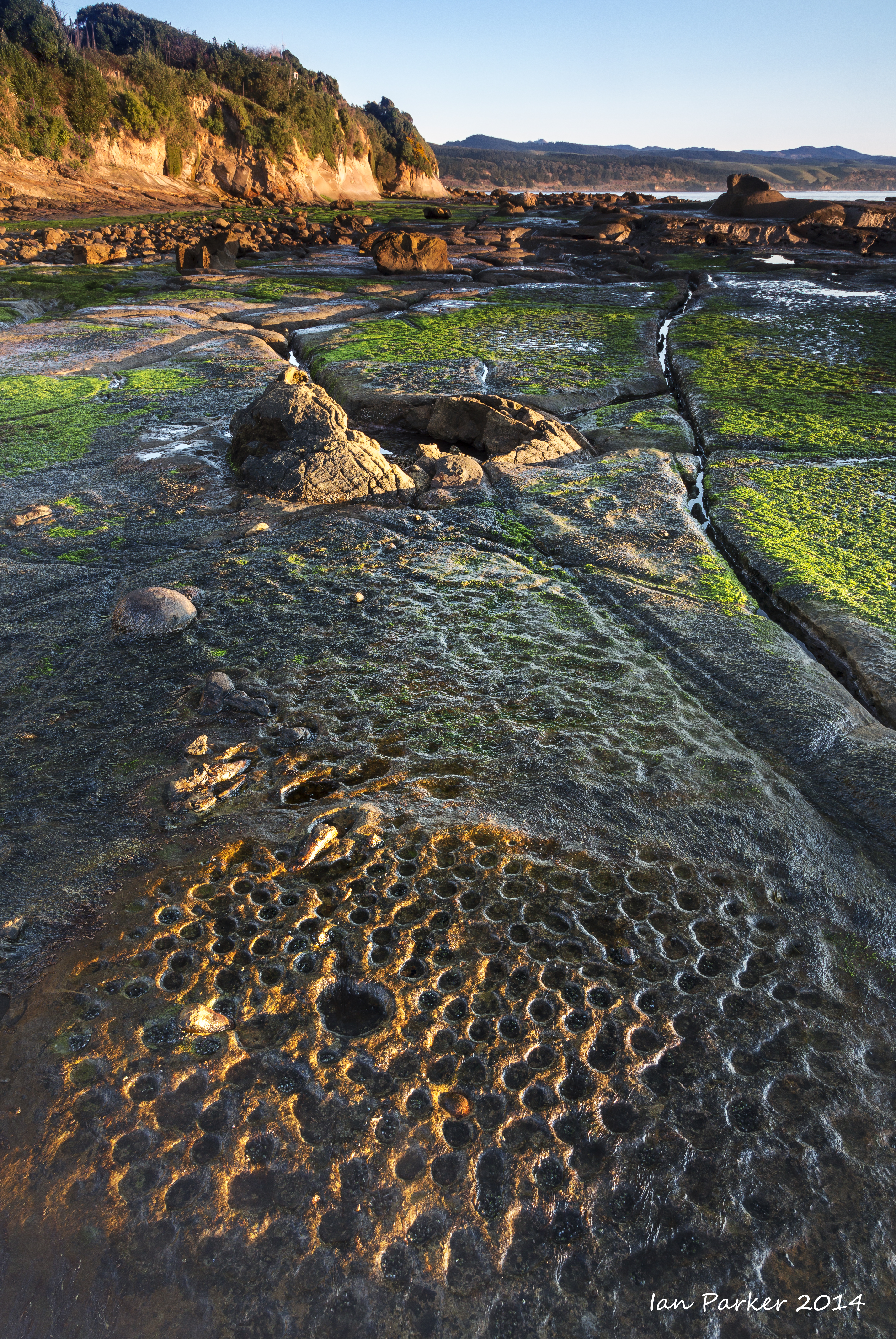
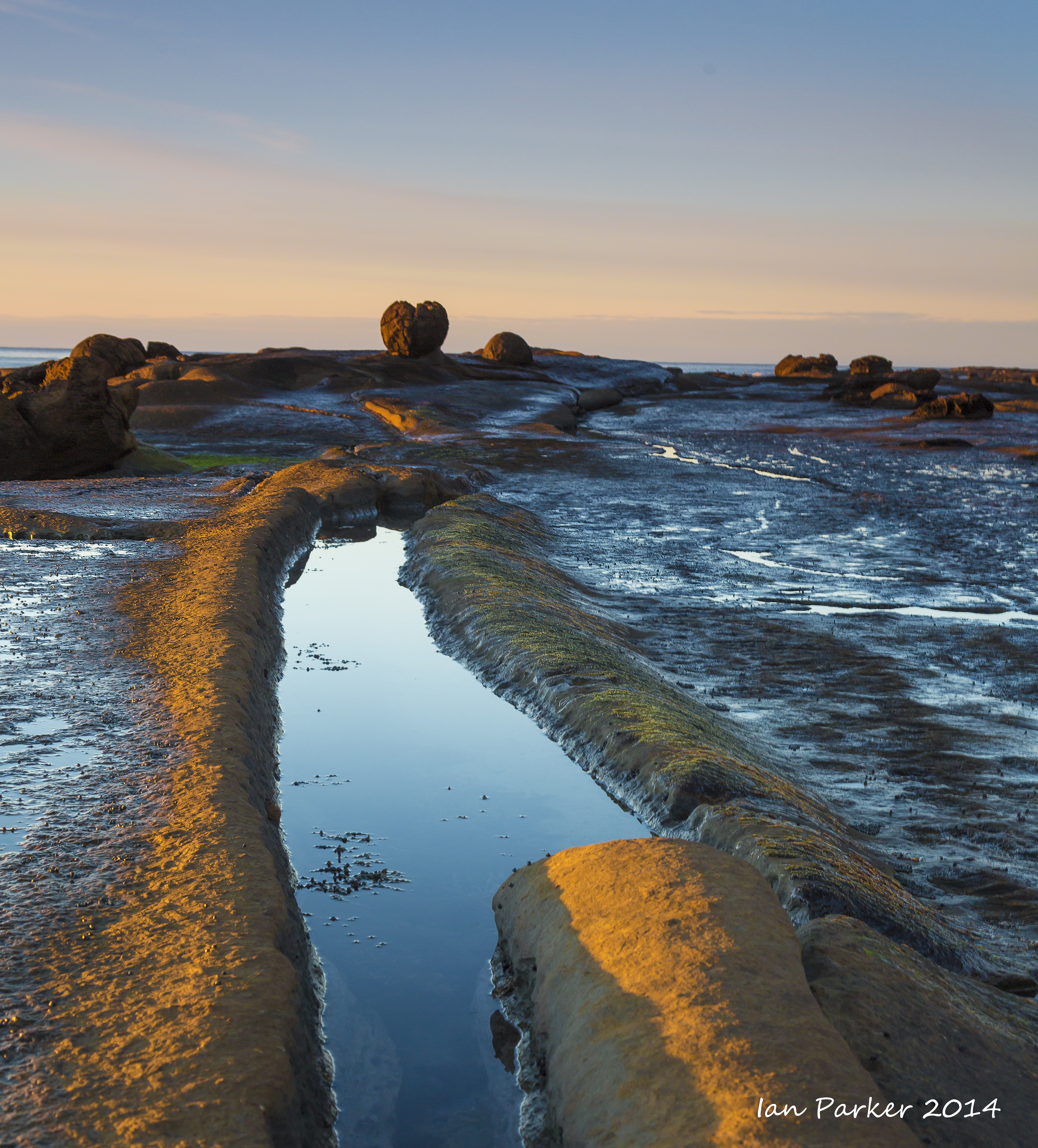
Next morning, a dawn visit to the 'dinosaur eggs' on the Katiki tidal shelf. This is a wonderfully unpublicized and unfrequented location, rating high on the 'obscurometer' of our guidebook, and accessed only by a steep scramble down a muddy path. The formations here resemble those at Moeraki, but are embedded within a rocky shelf rather than sitting on a sandy beach. New Zealand's largest fossil was discovered inside one of these boulders!
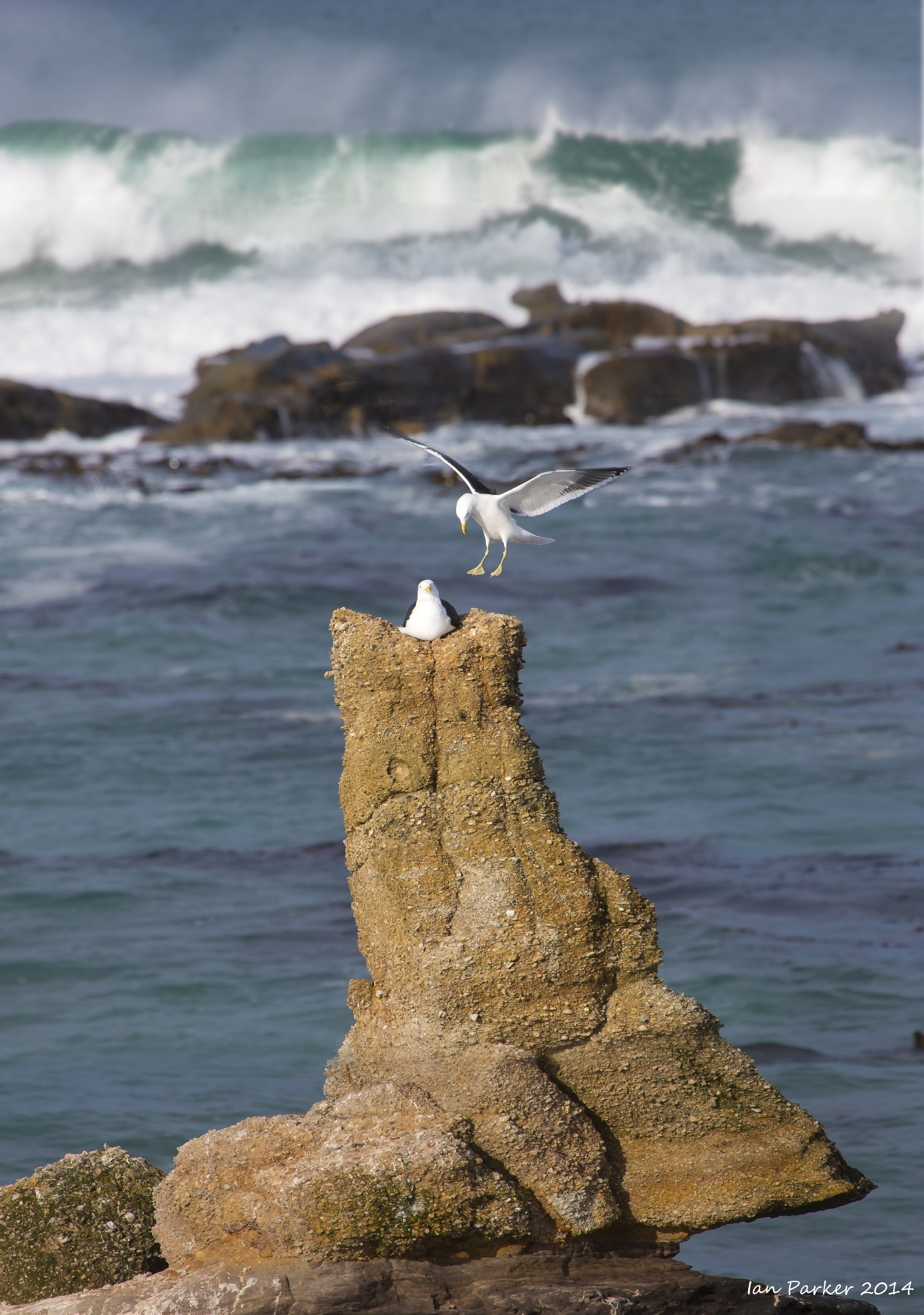
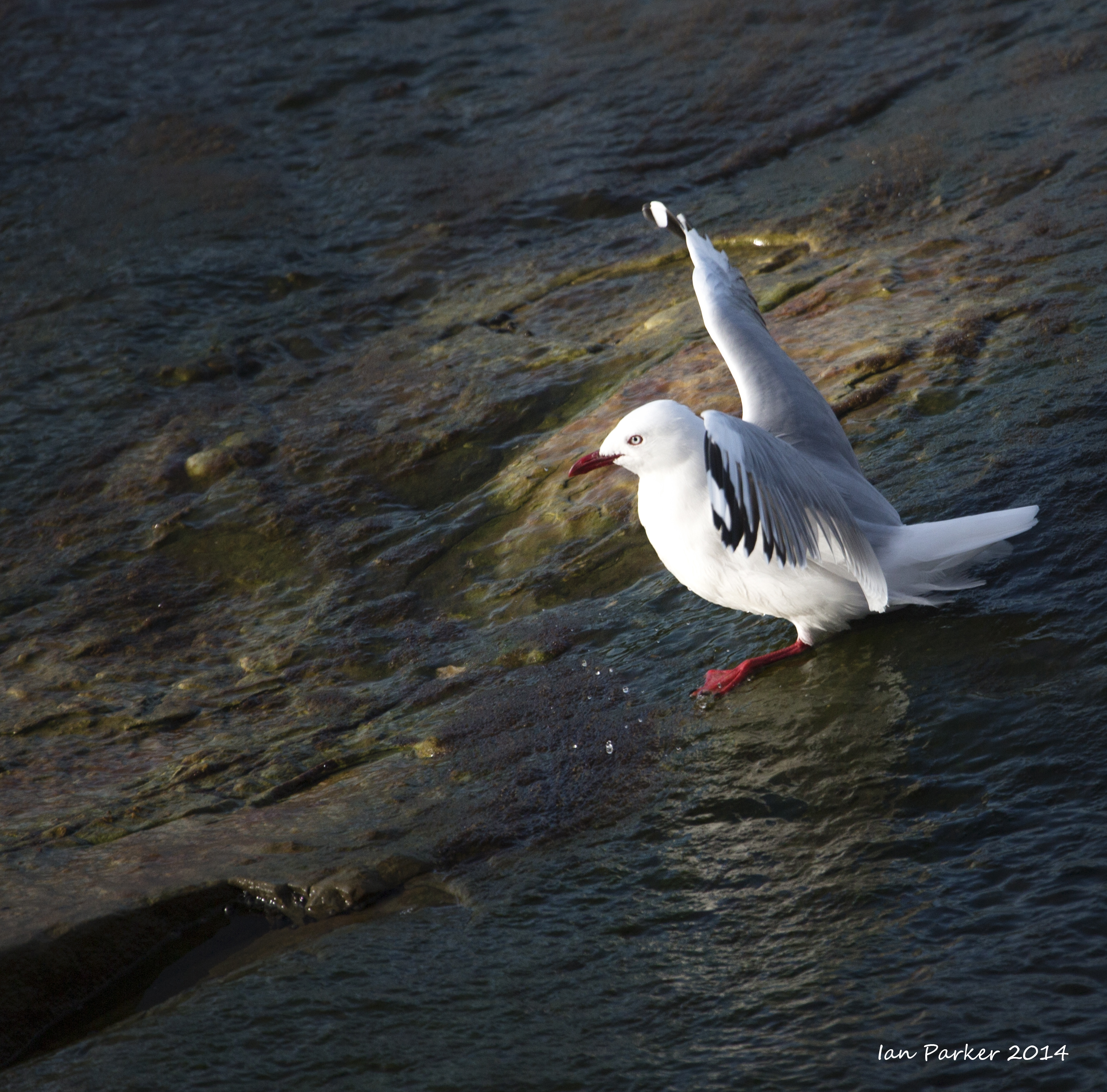
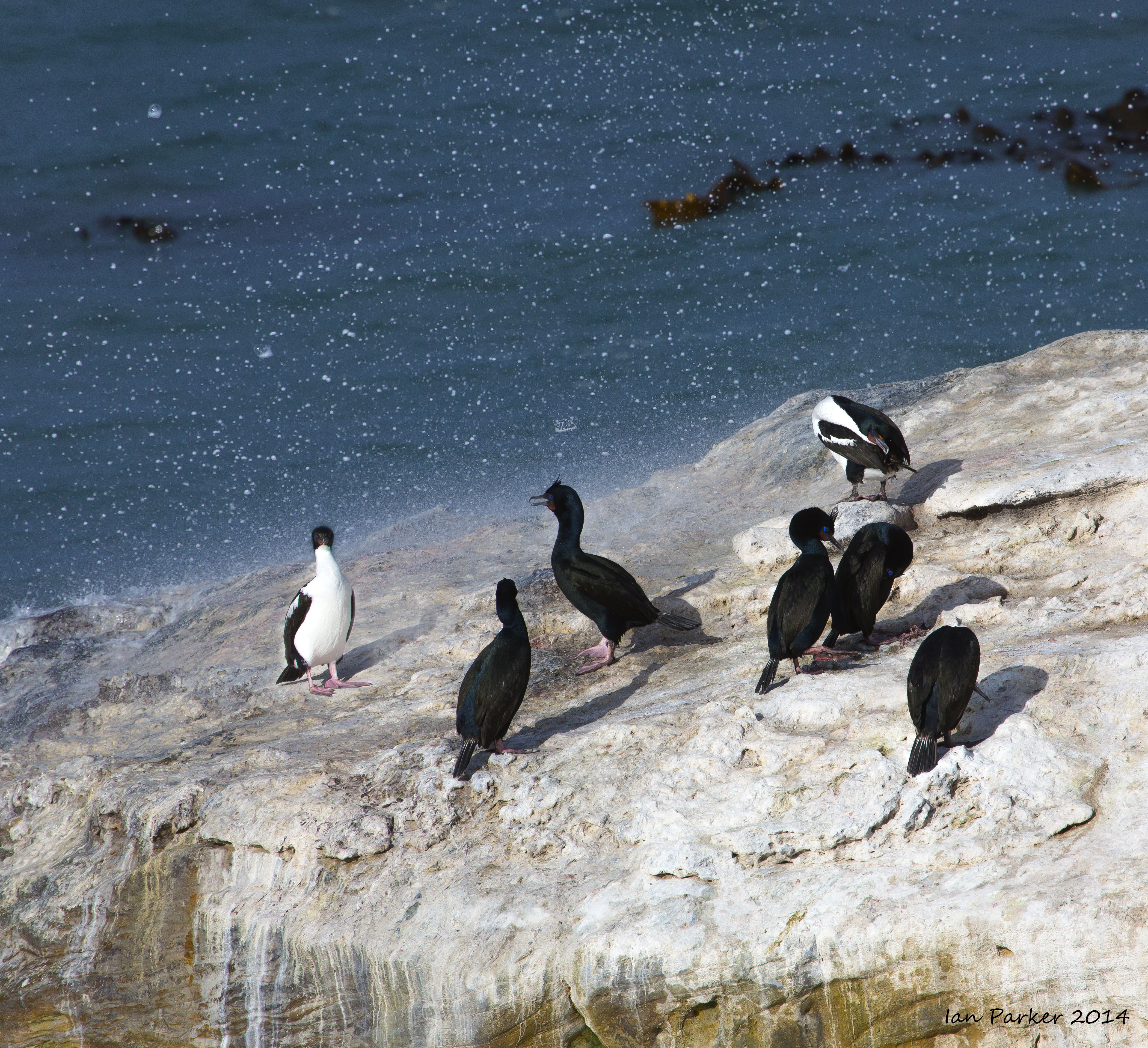
Shag point offers good views of seals and birds - penguins also, although we had to look elsewhere to find them.
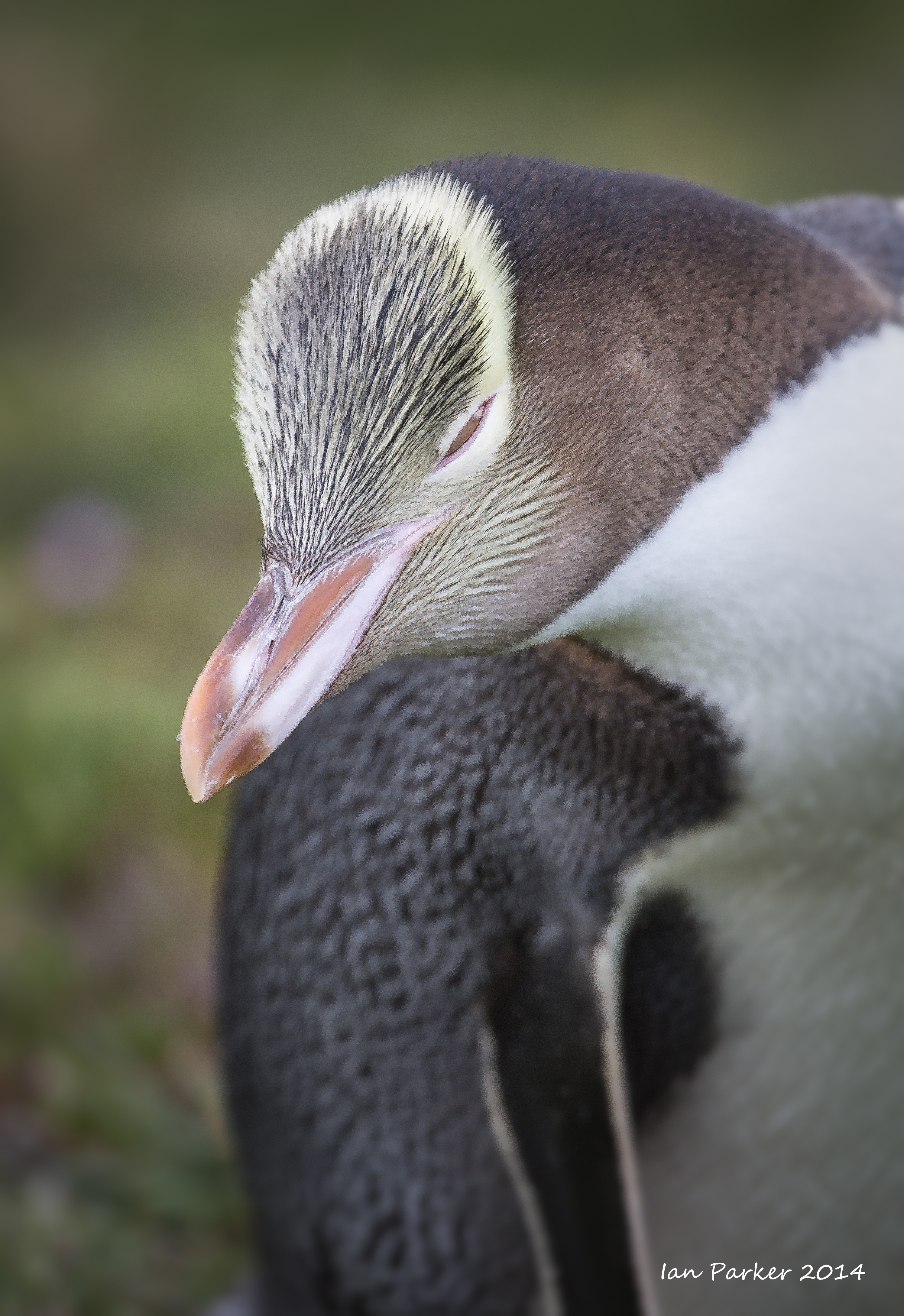
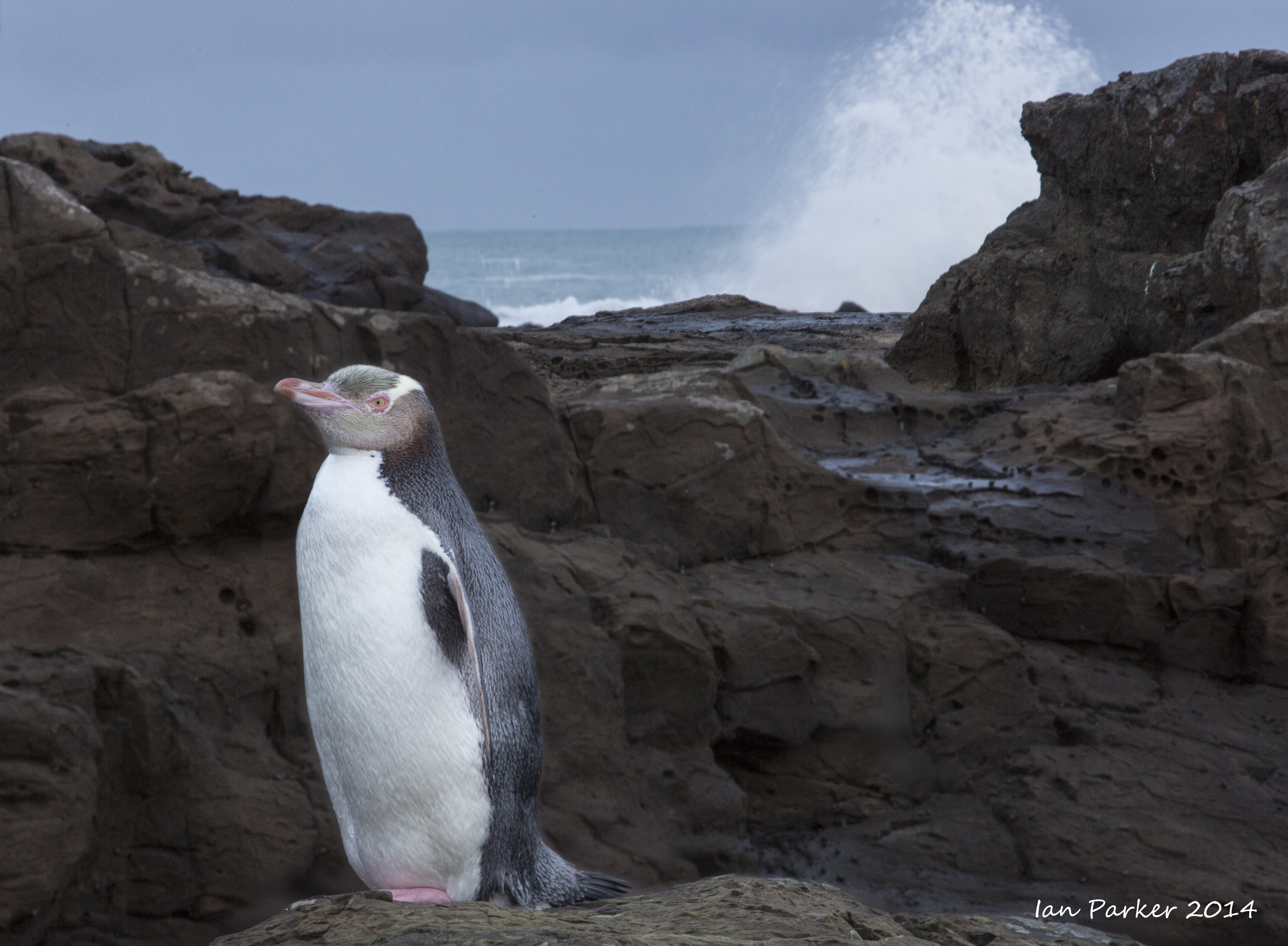
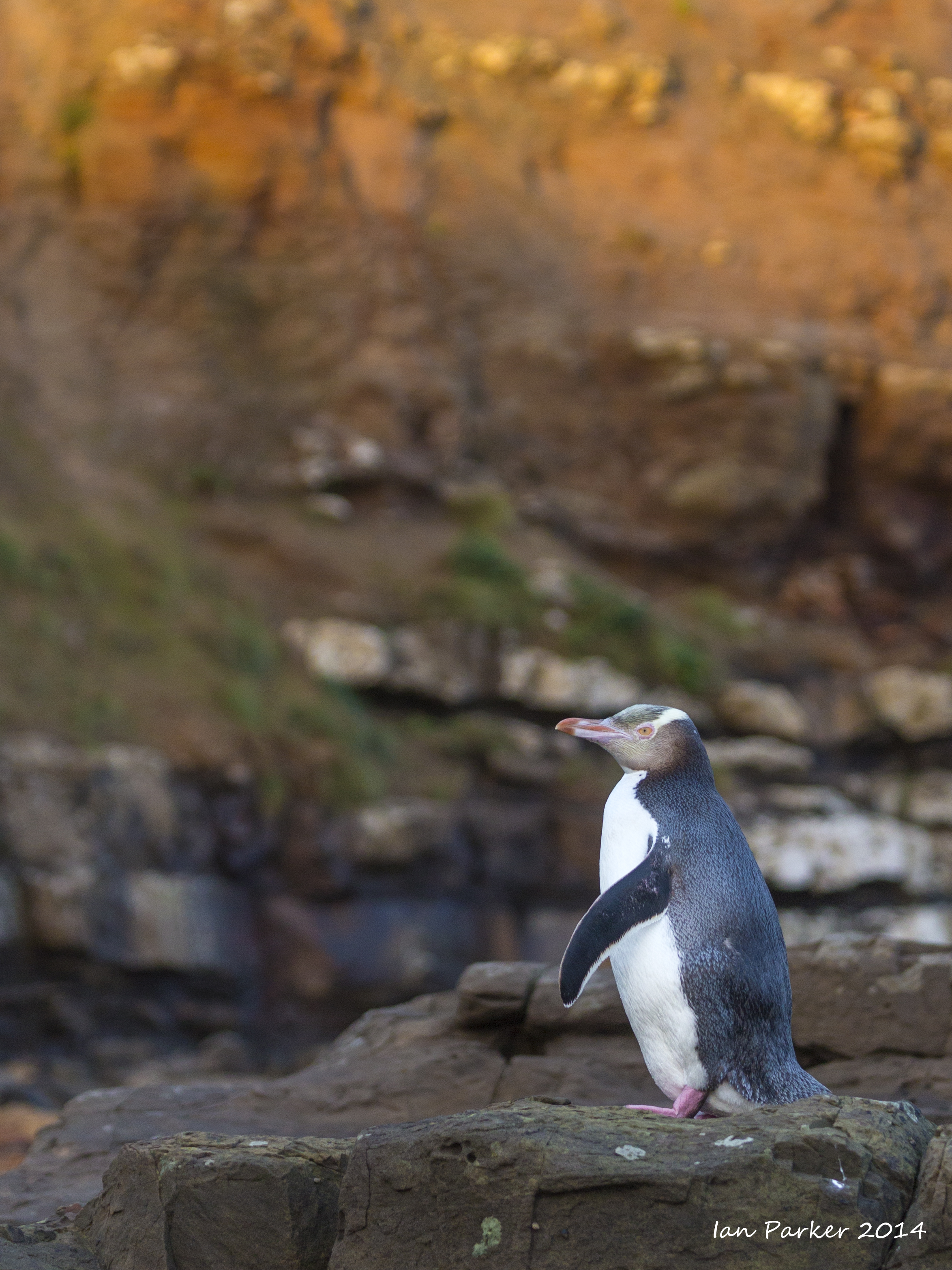
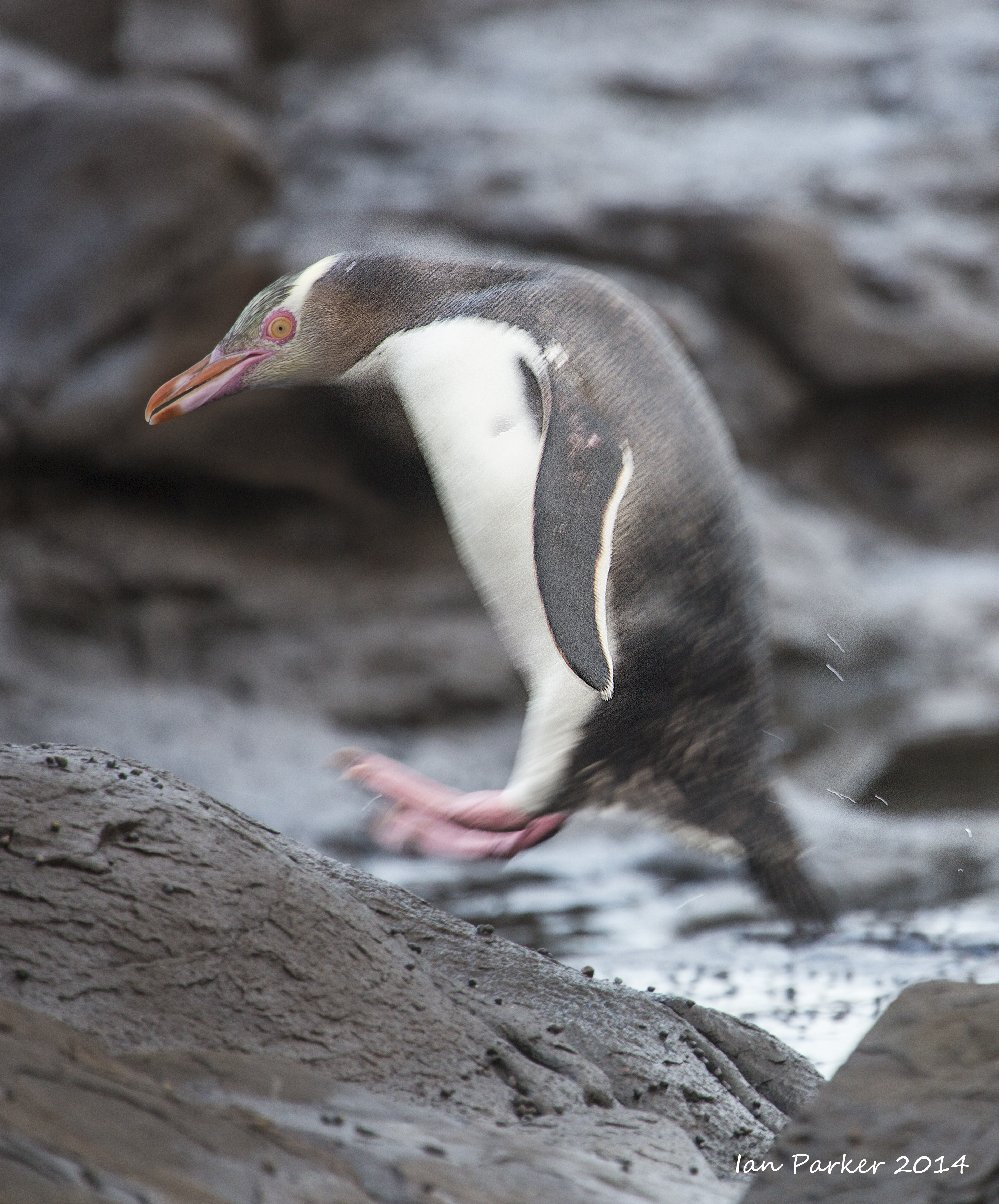
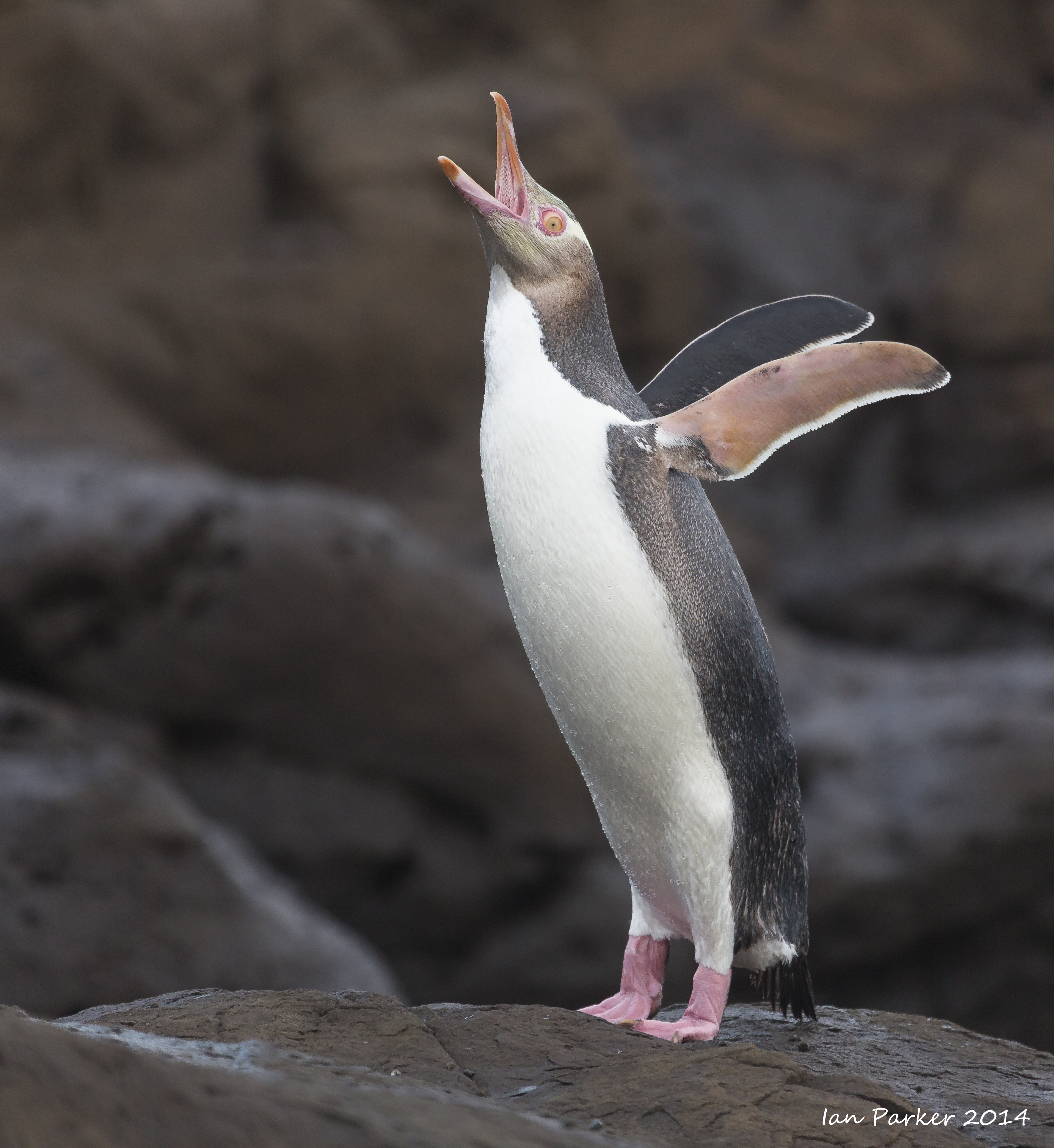
Yellow-eyed penguins.
The yellow-eyed penguin (hoiho) is the world's rarest and endangered penguin species, with an estimated population of only about 4000, restricted to eastern bays in the South Island of New Zealand and to small sub-Antarctic islands. We were fortunate to view them at two locations; downslope from the lighthouse at Katiki point, and at Curio Bay near the southern tip of the South Island. The penguins forage during the day, traveling as far as 15 miles across the continental shelf, and return on land in the evening when they can be seen crossing the beach and climbing over rocks and grassy paths up to their solitary nests iamong dense forests or scrub.
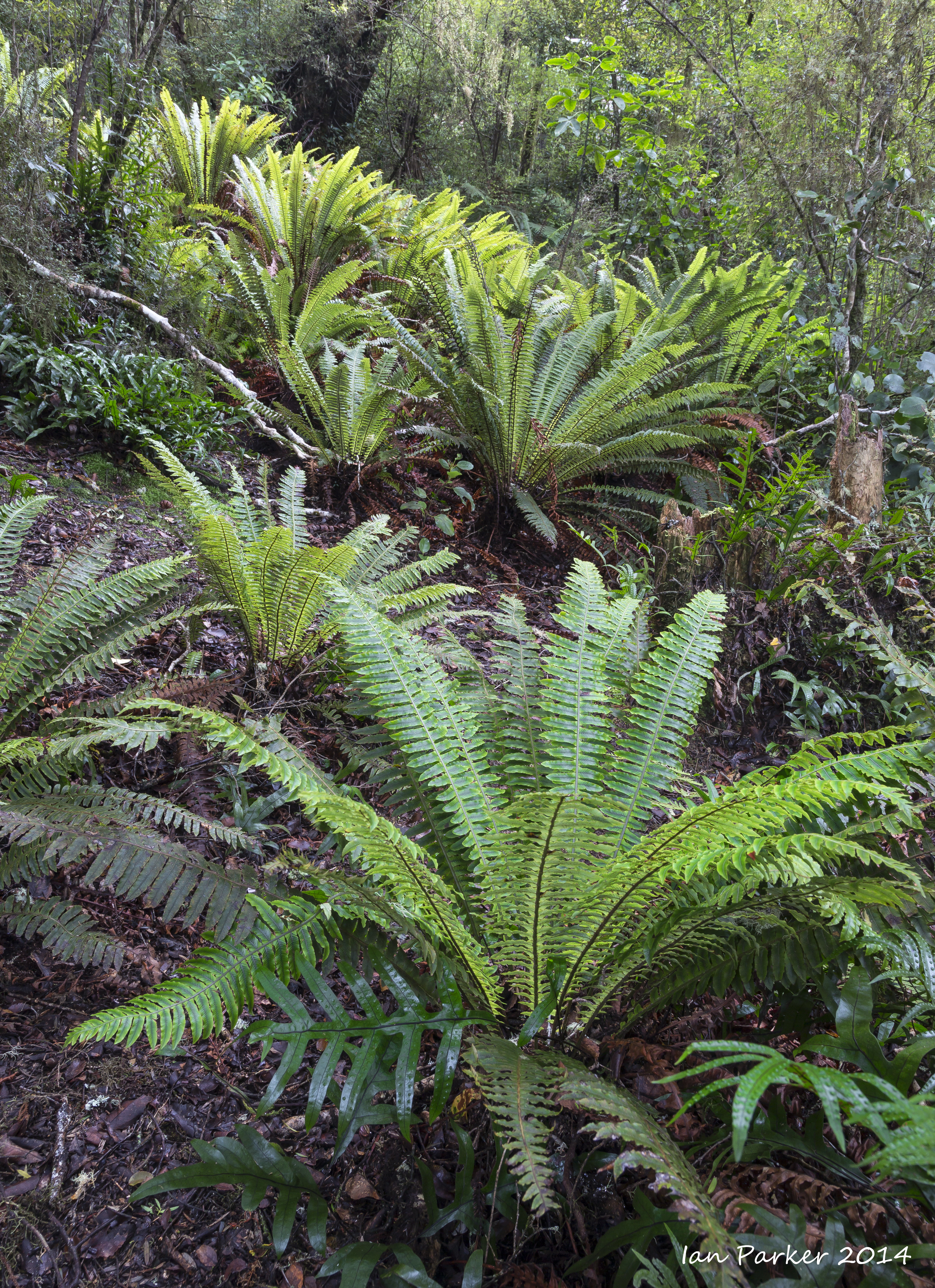
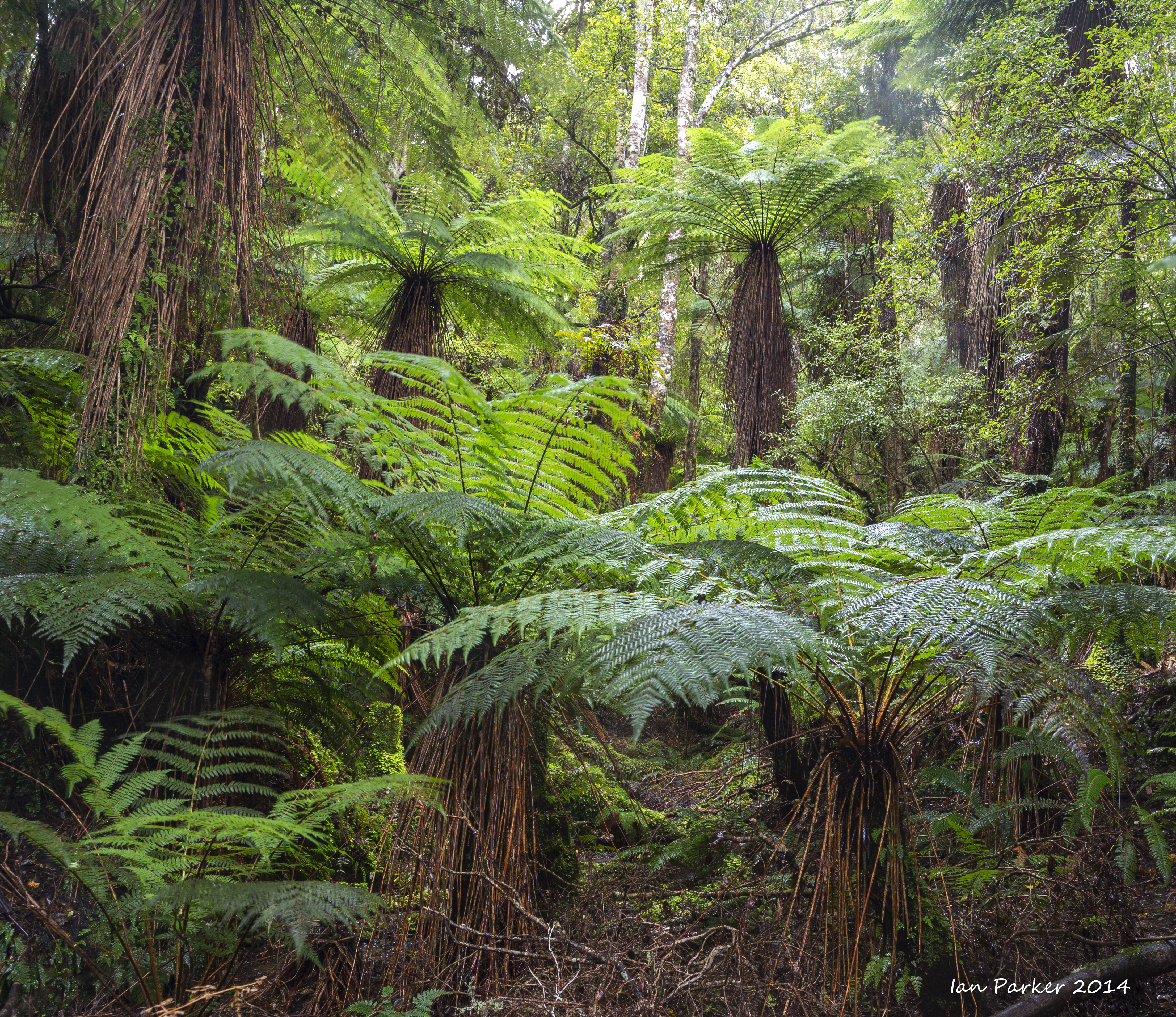
A wet day hiking the Waipohatu loop walk through lush green Catlins forests to waterfalls
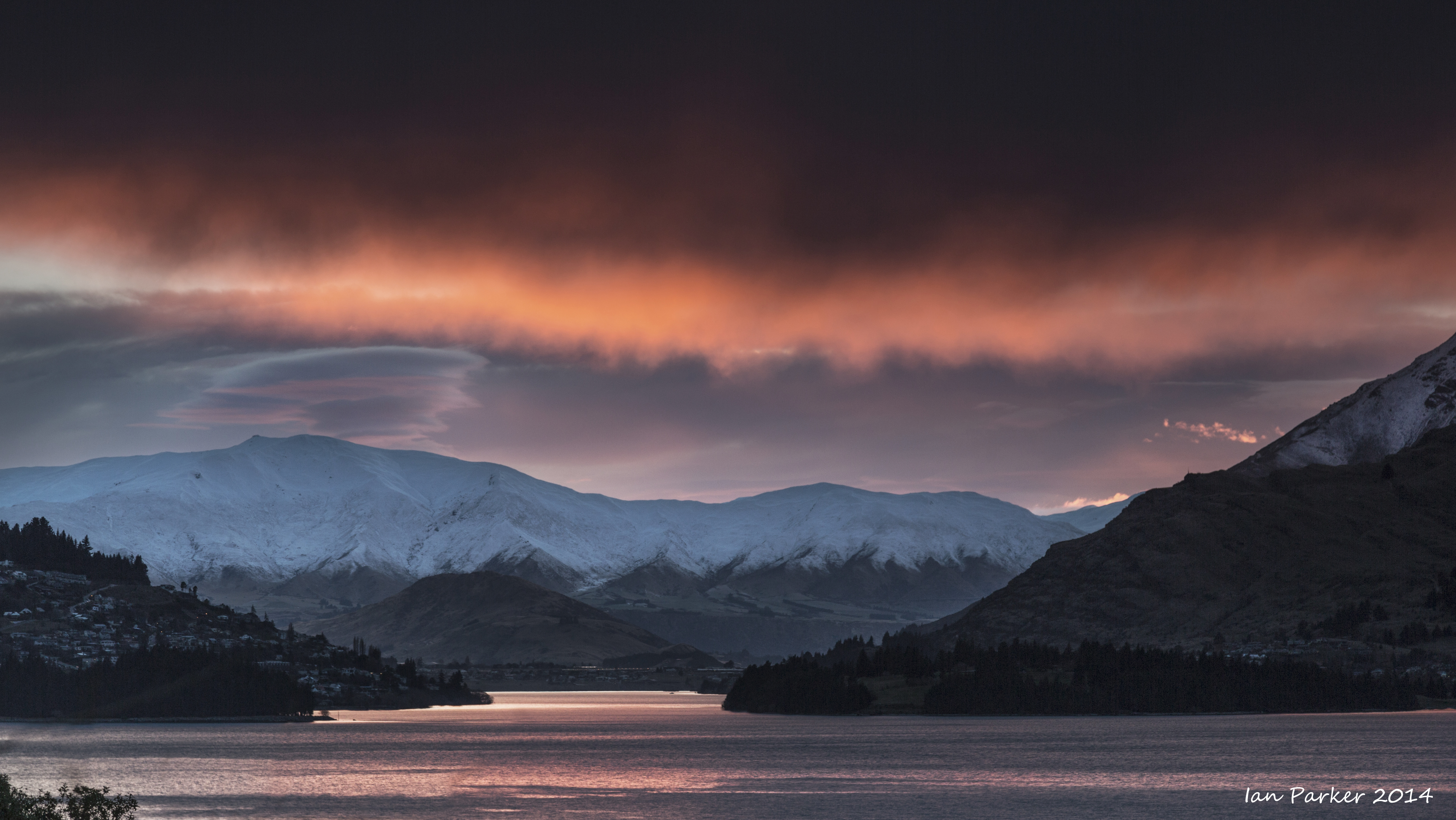
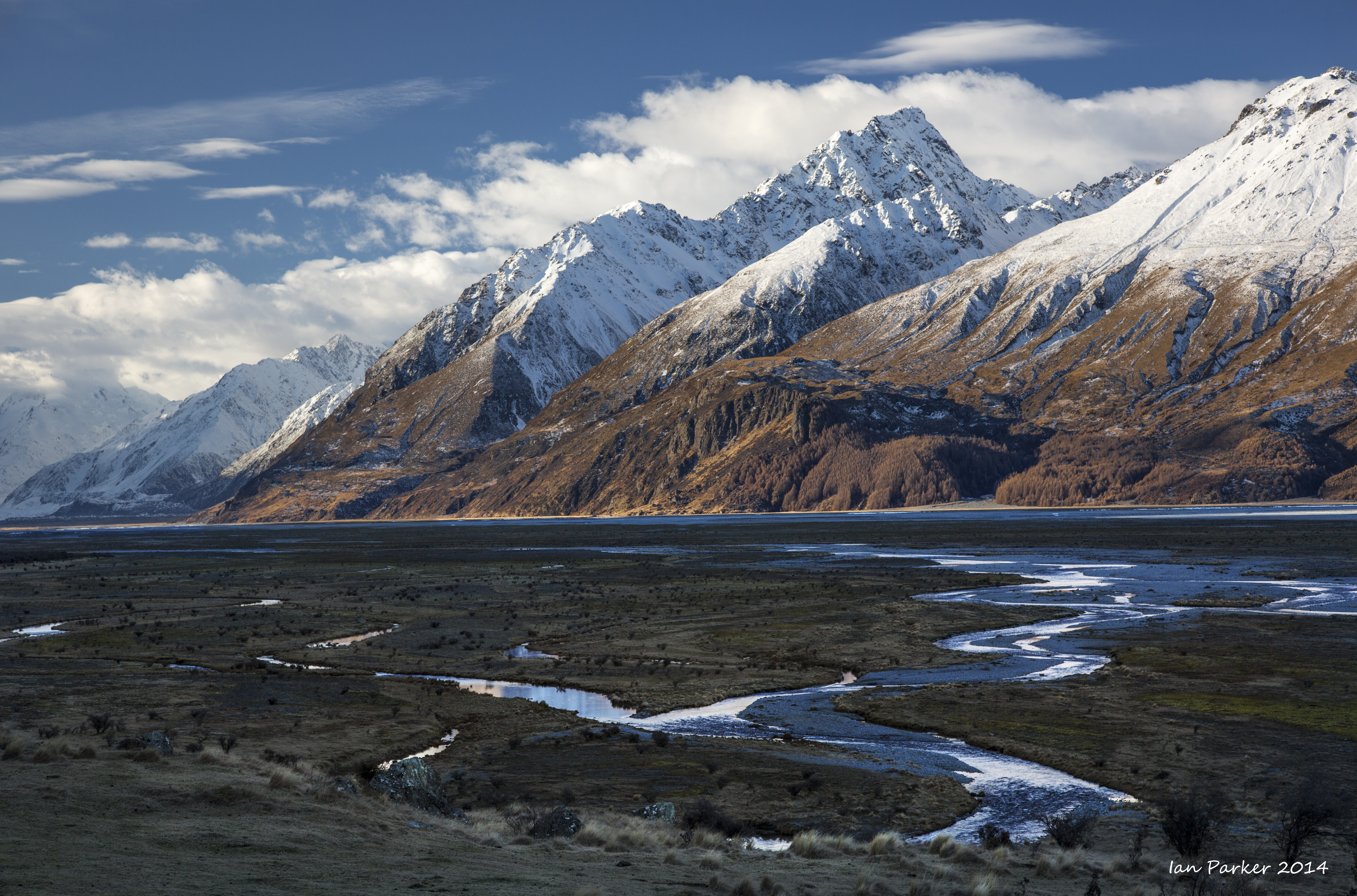
Clearing storm at Lake Wakatipu. We hiked up the trail to the scheelite (tungsten) mine above Glenorchy, then drove around the head of lake to spend the night at Kinlock. There we were pleasantly surprised to find a rustic and historic lodge serving excellent venison pie.
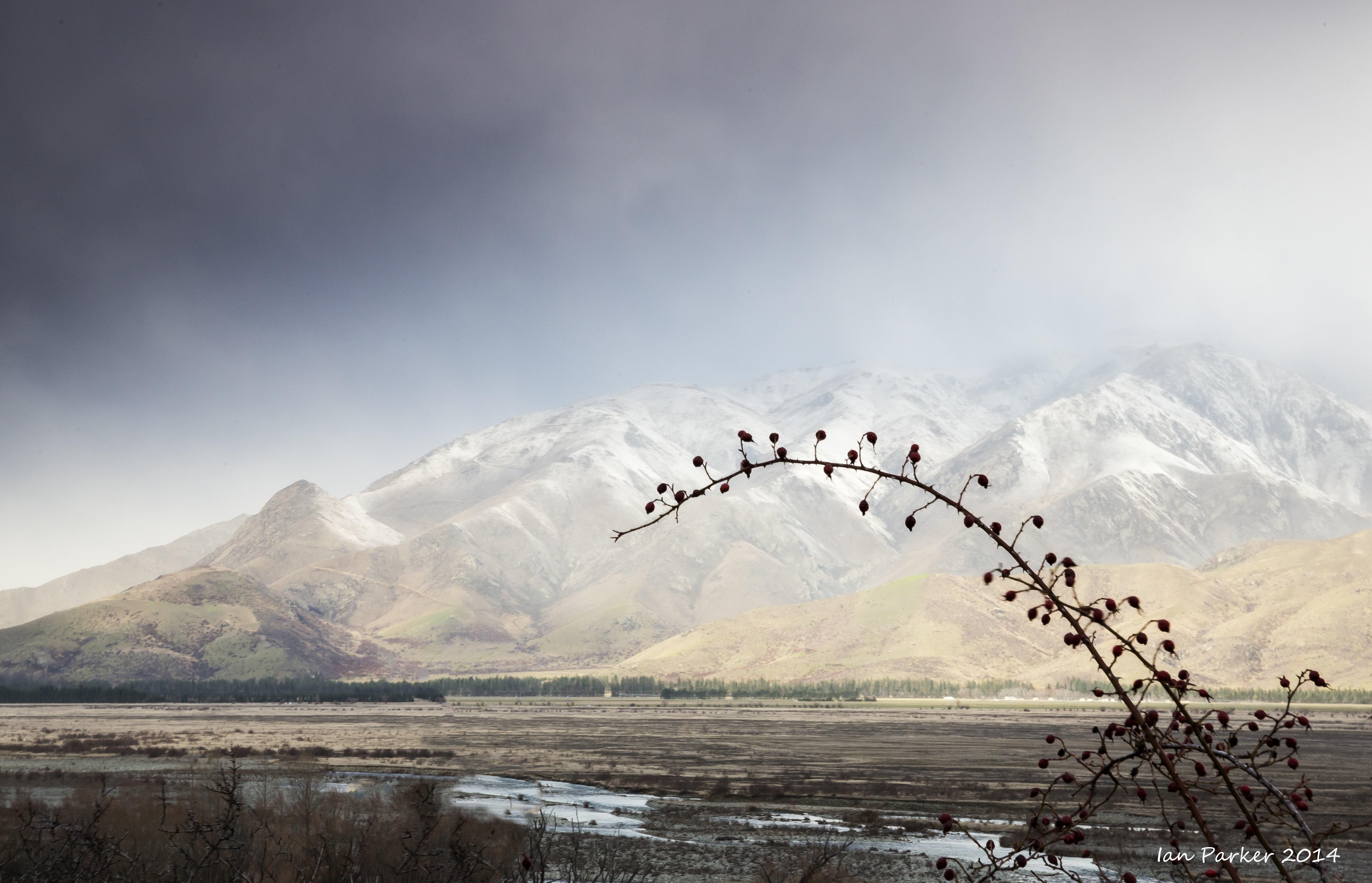
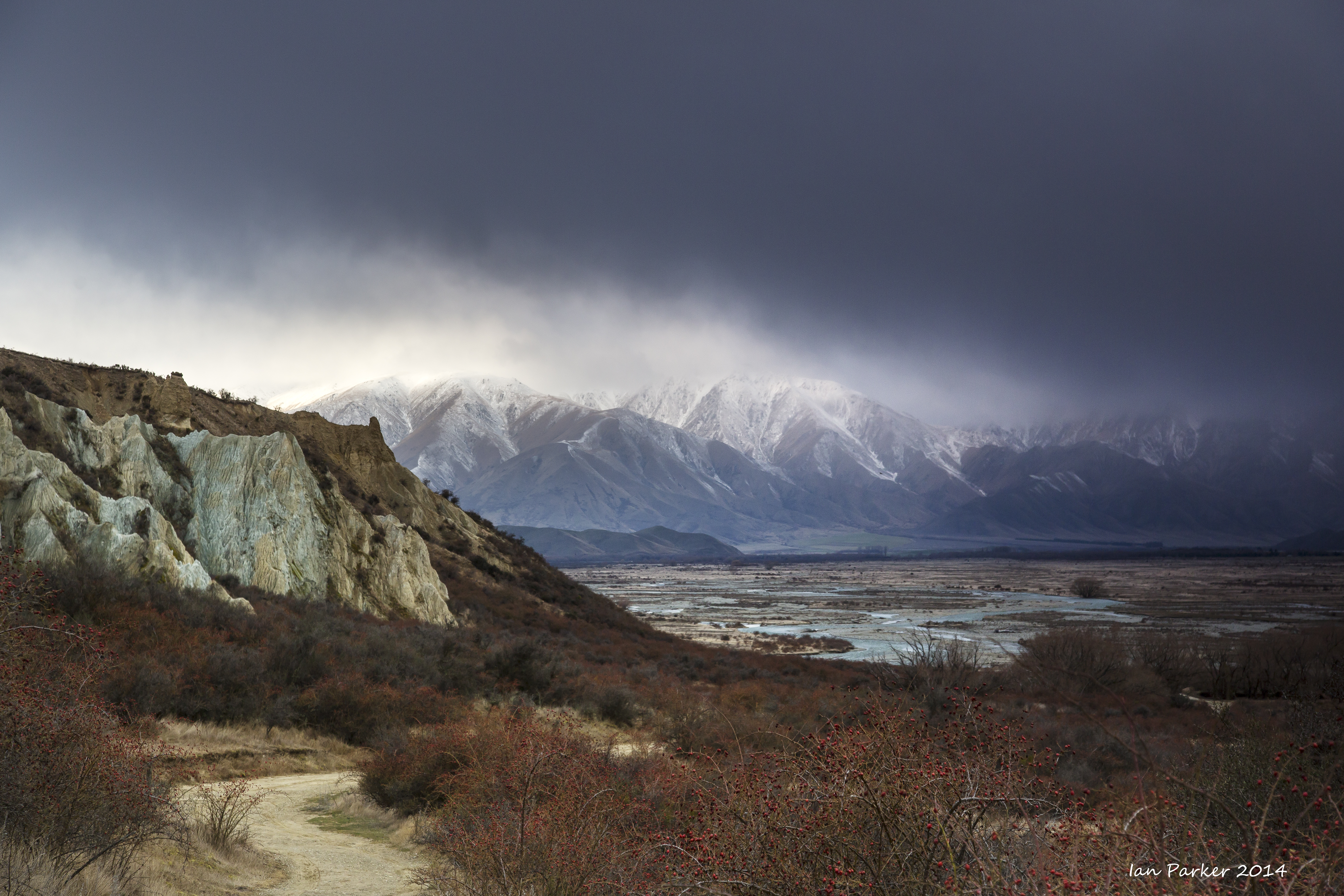
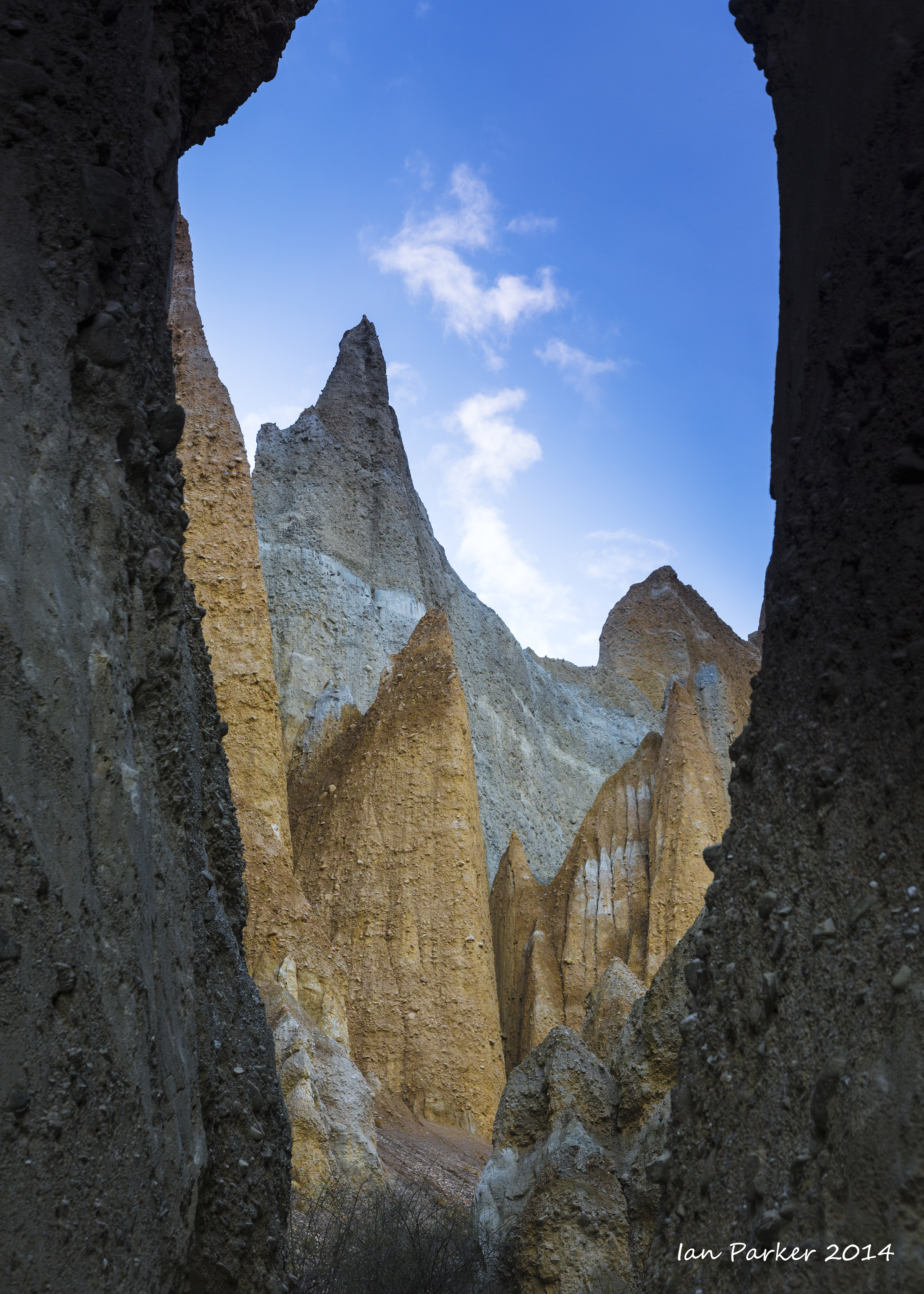
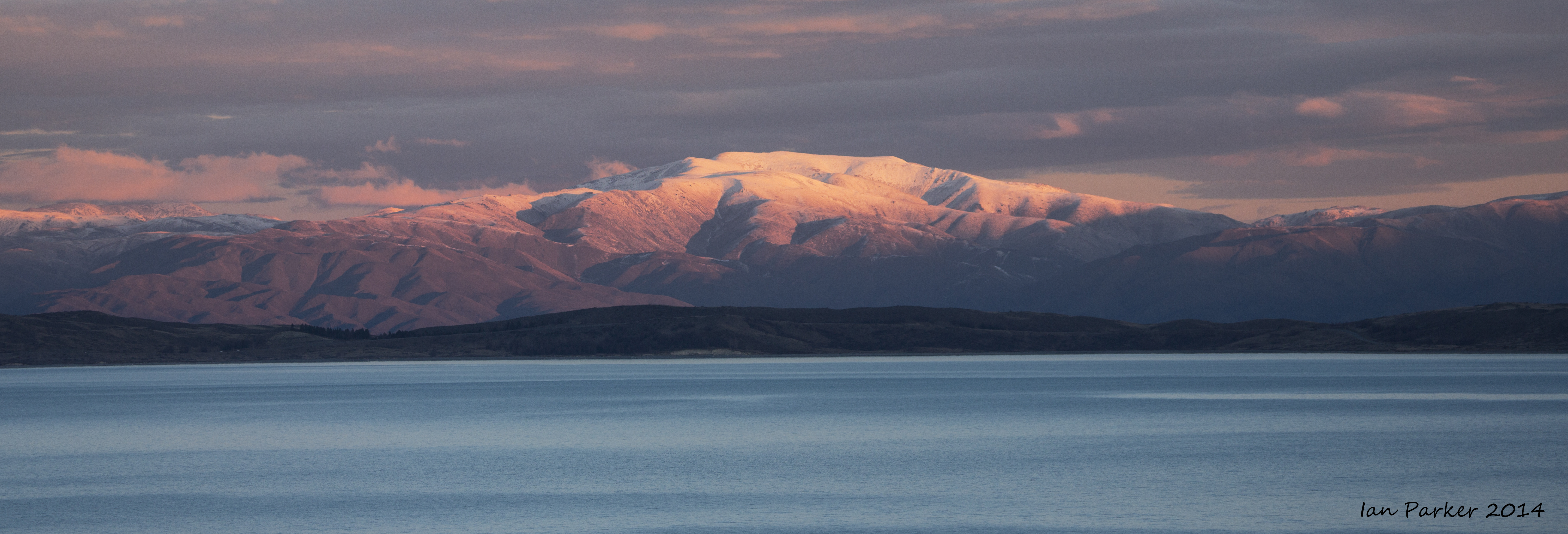
A small detour while driving between Queenstownand Mt. Cook to the clay cliffs near Omarama.
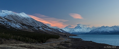
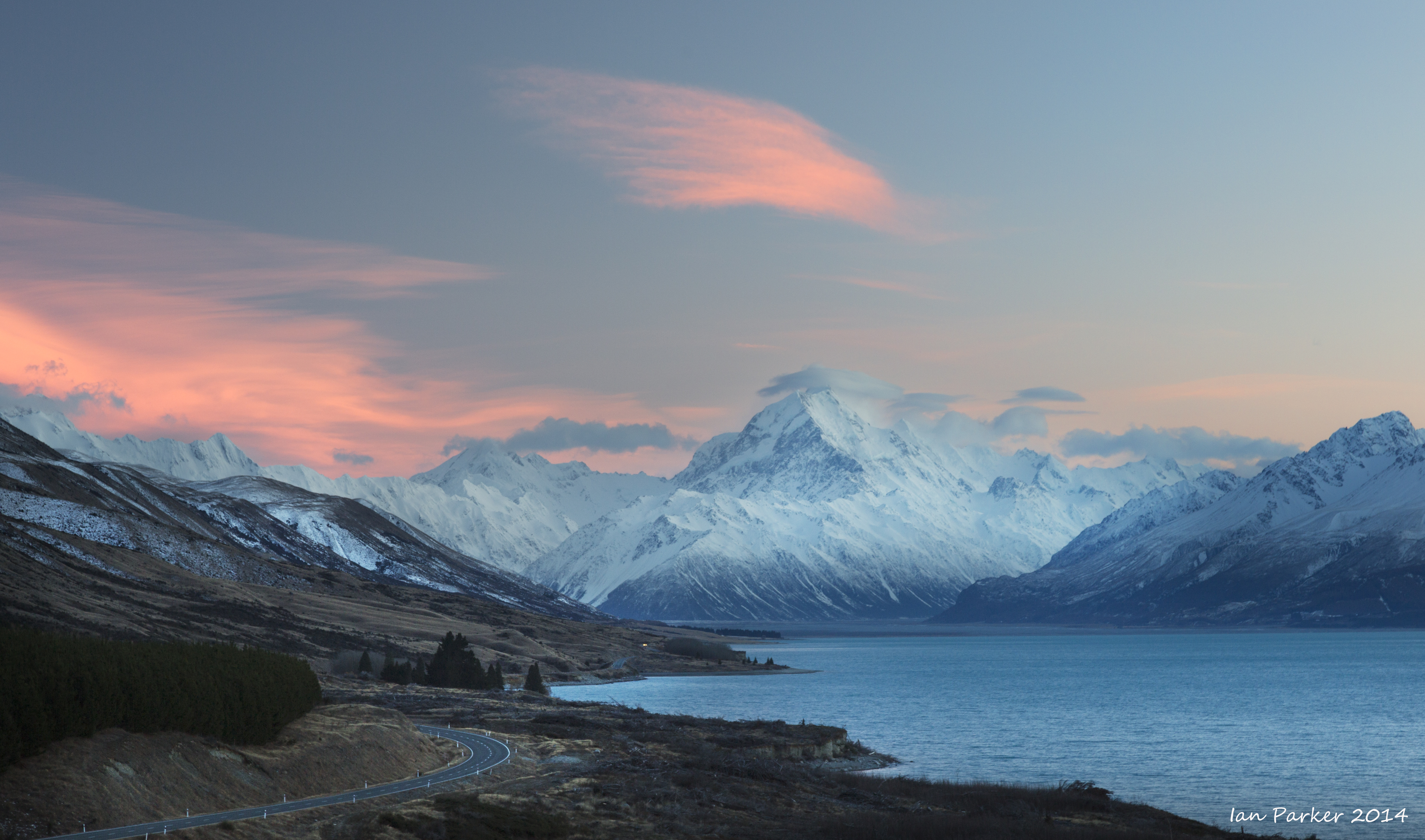
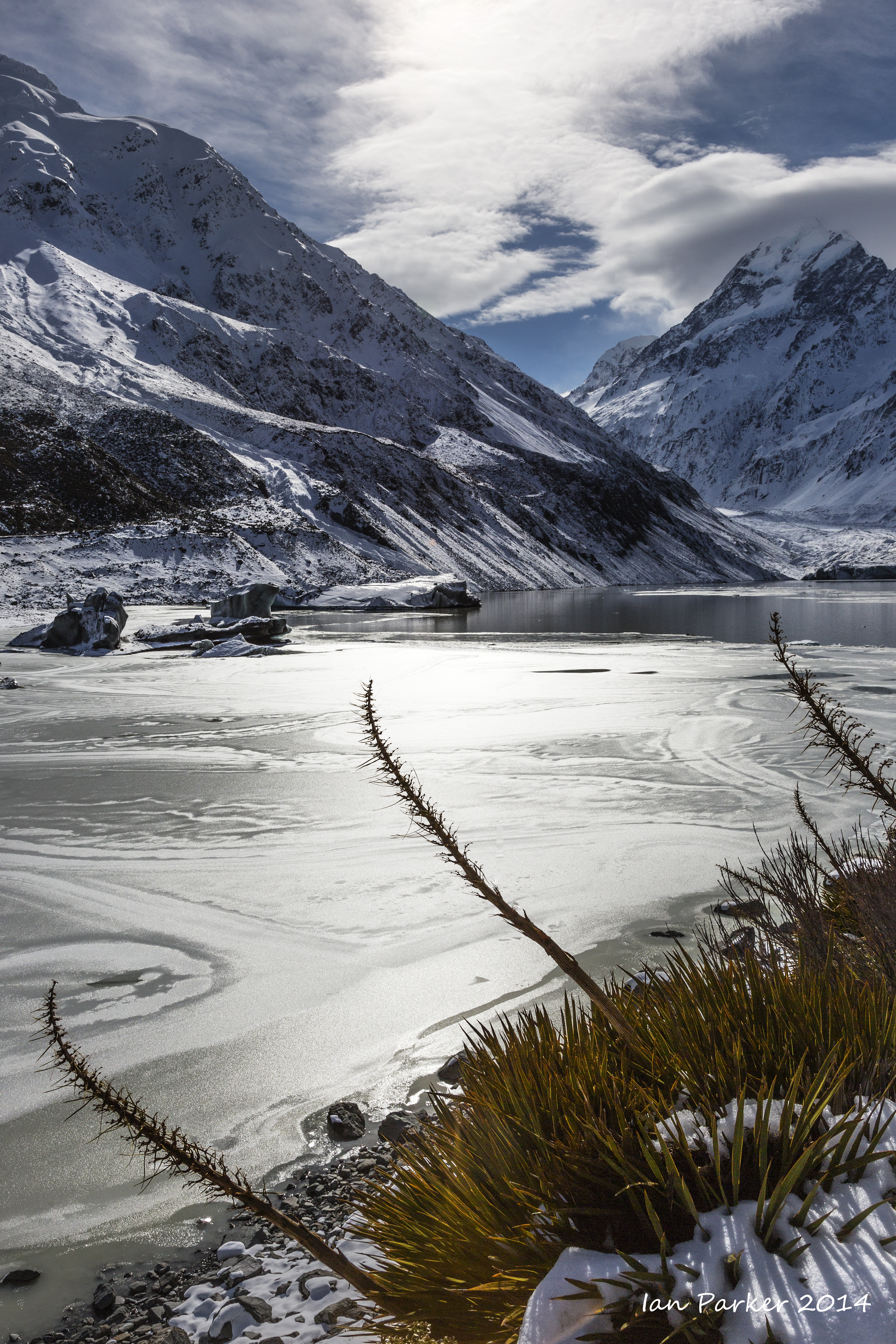
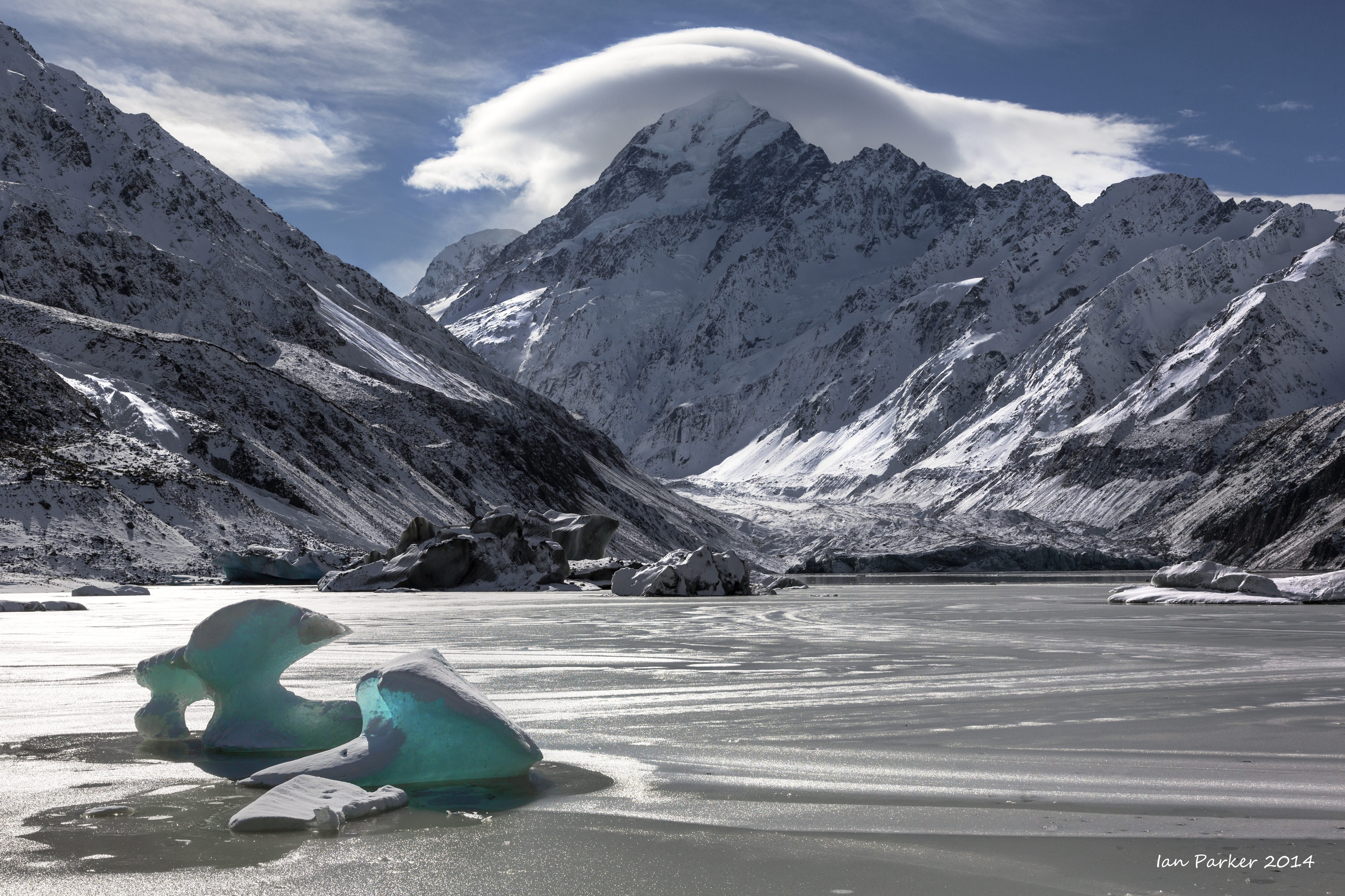
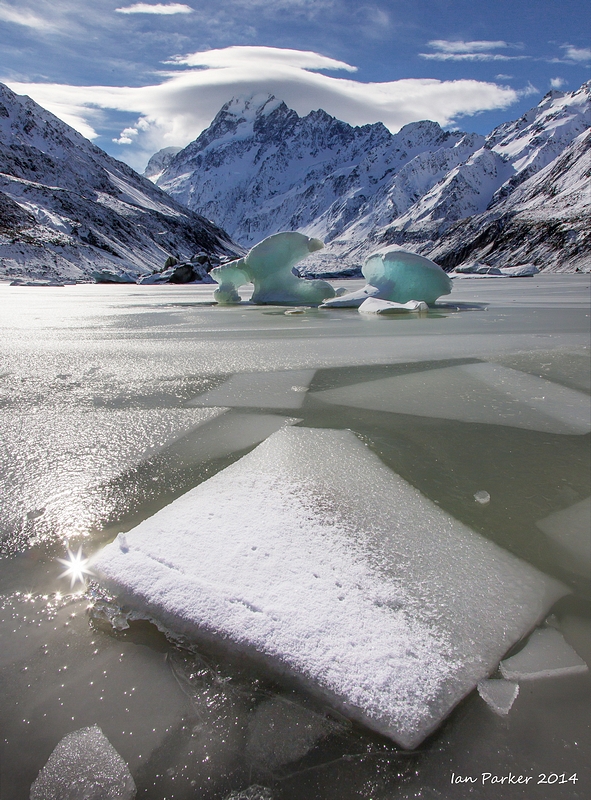
We stopped for two nights at Peter's lookout, halfway along the western shore of Lake Pukaki, with a superb view up the lake to Mt Cook. During the intervening
day we hiked the Hooker Valley Track; "Indisputably the South Island's most scenic day walk."

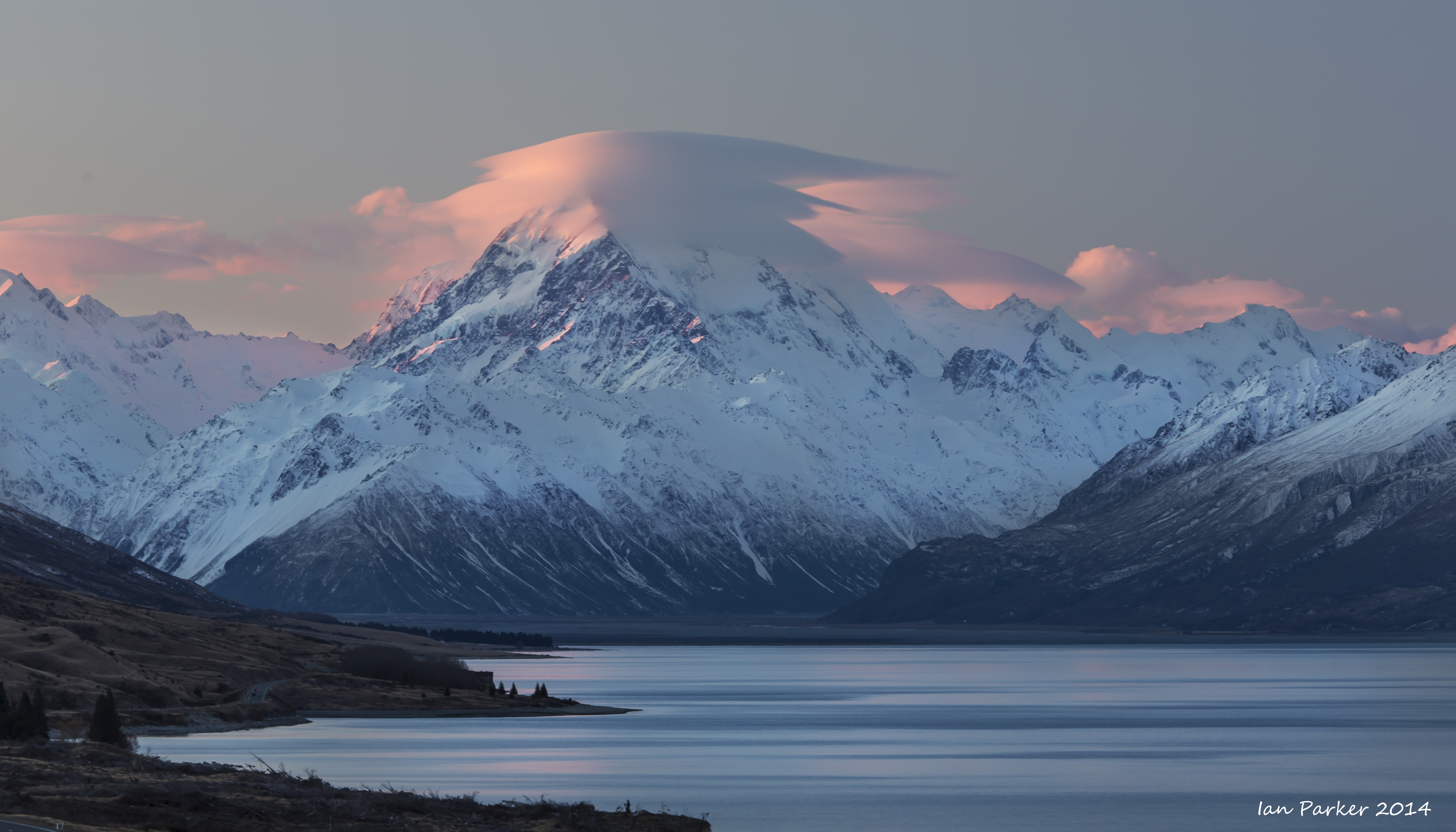
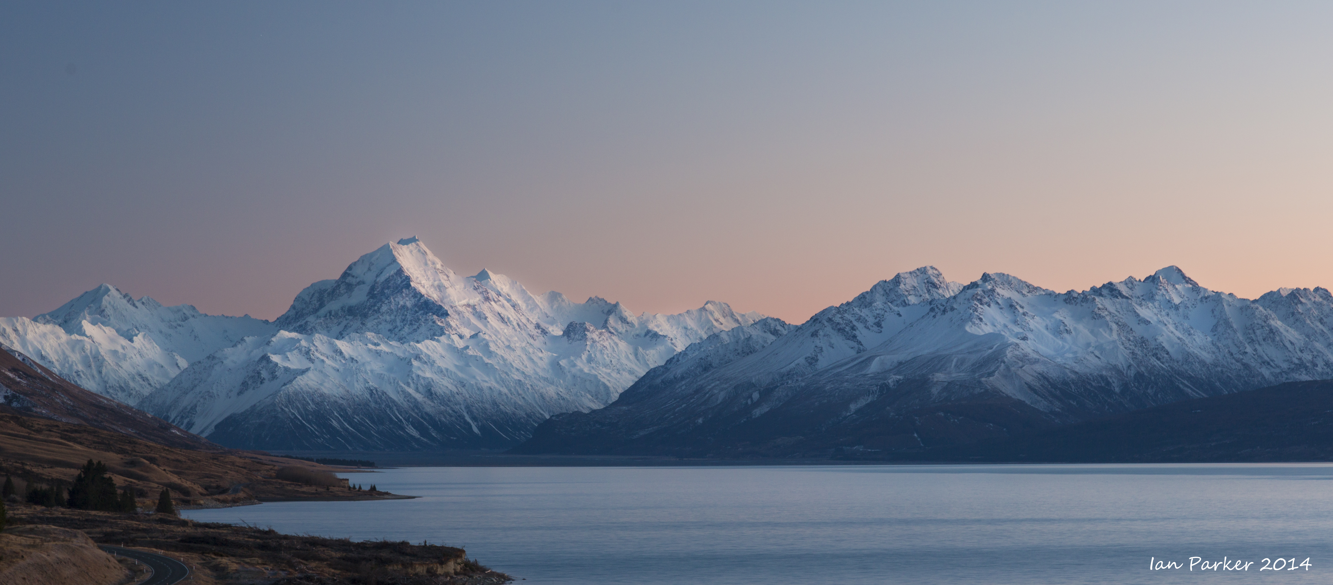
Sunrise clouds over Mt. Cook from Peter's lookout: New Zealand
|
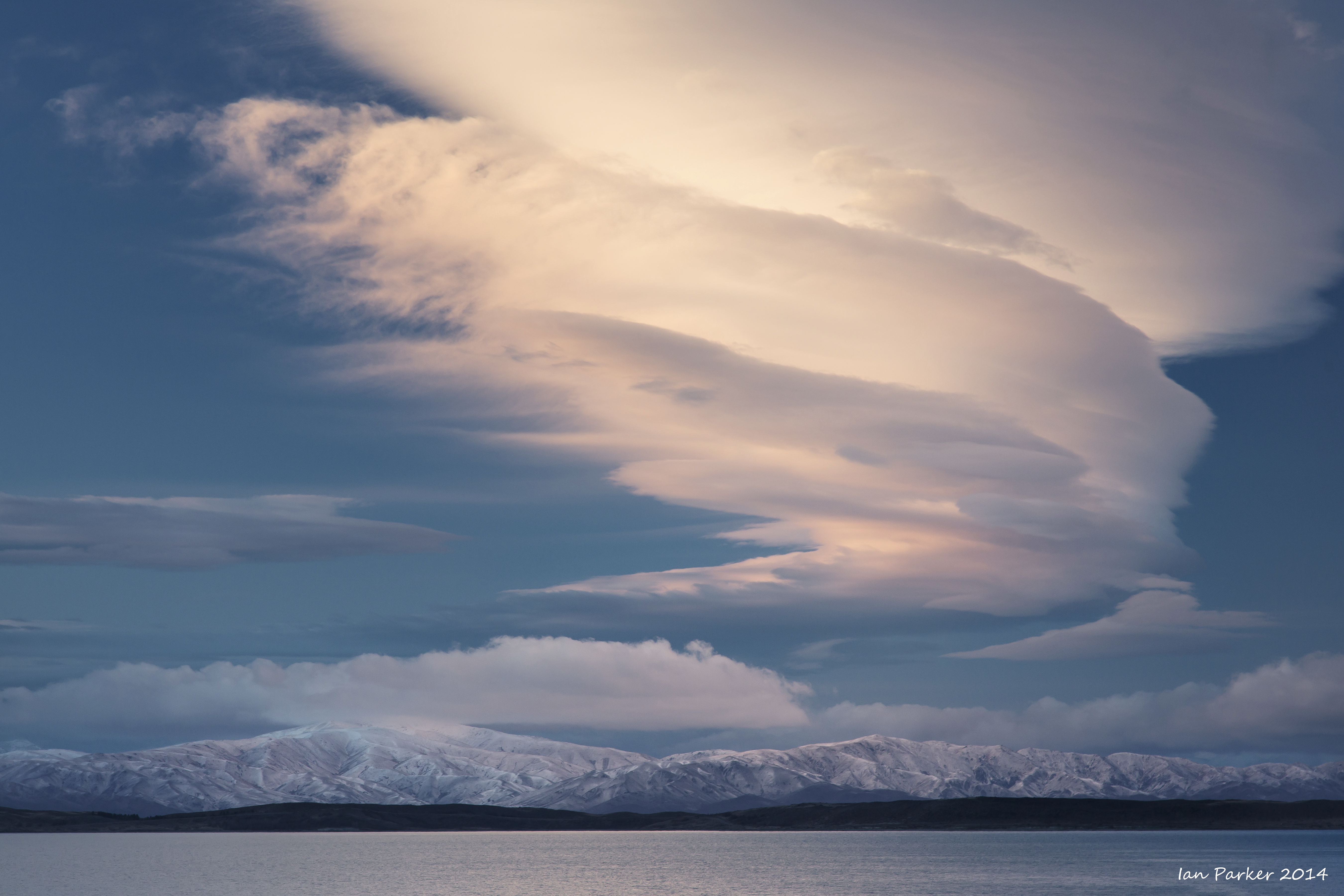
Sunrise panorama: Mt. Cook and Lake
Pukaki, New Zealand |
|
|
|
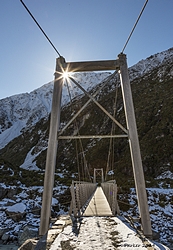
Hooker Valley bridge with sunstar: New Zealand
|
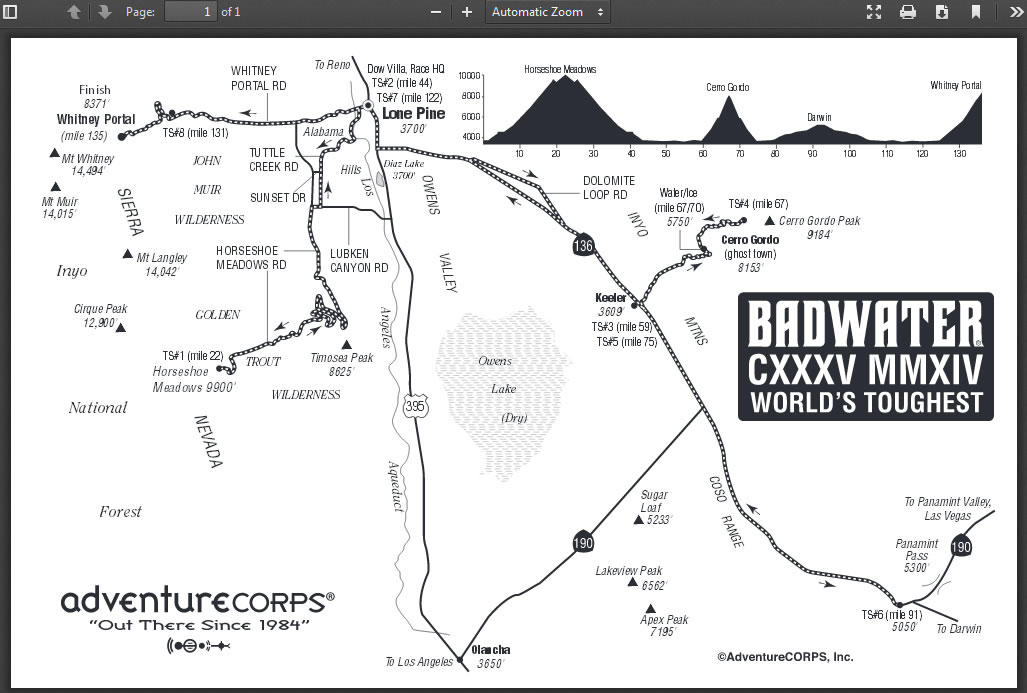
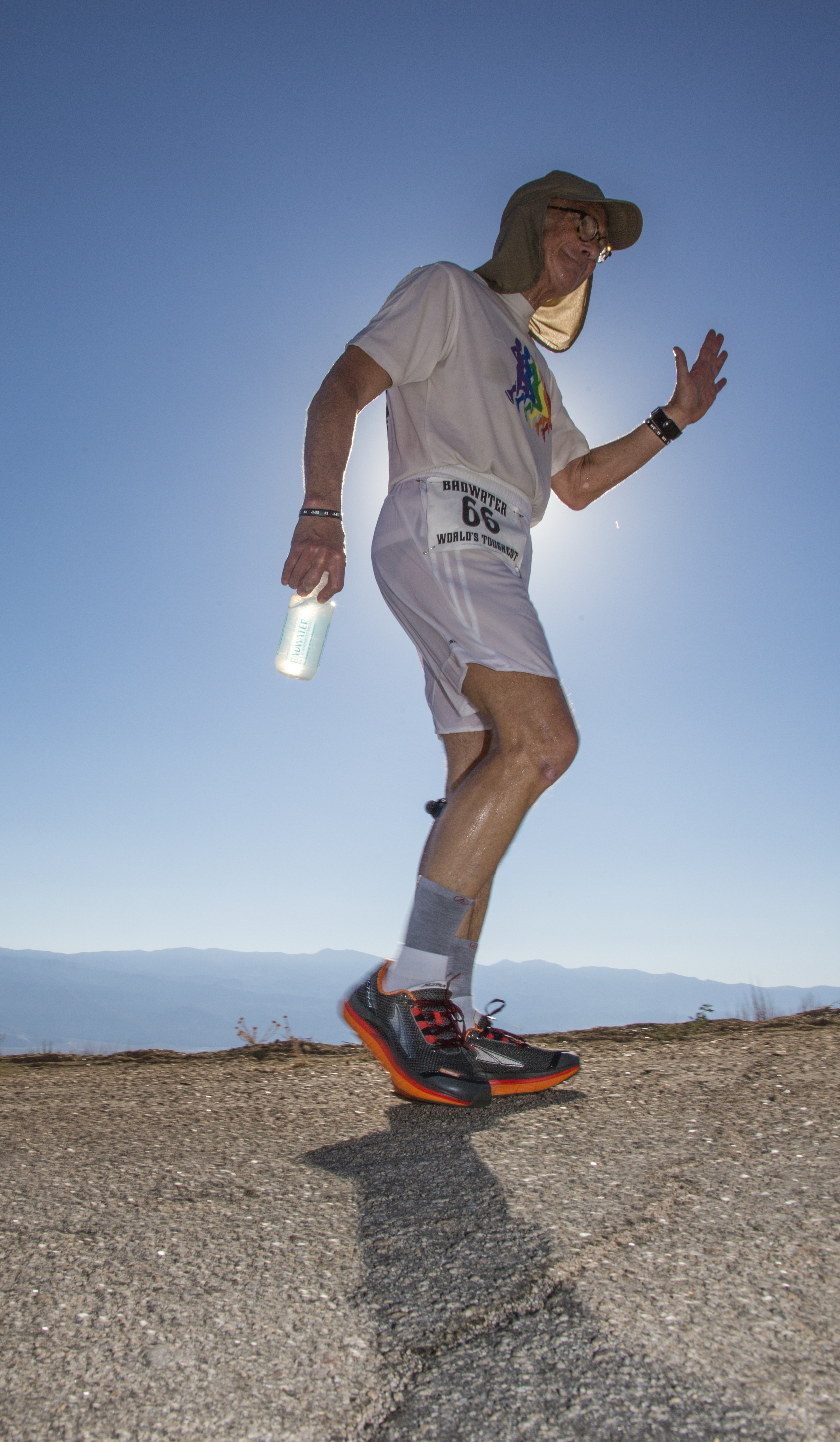
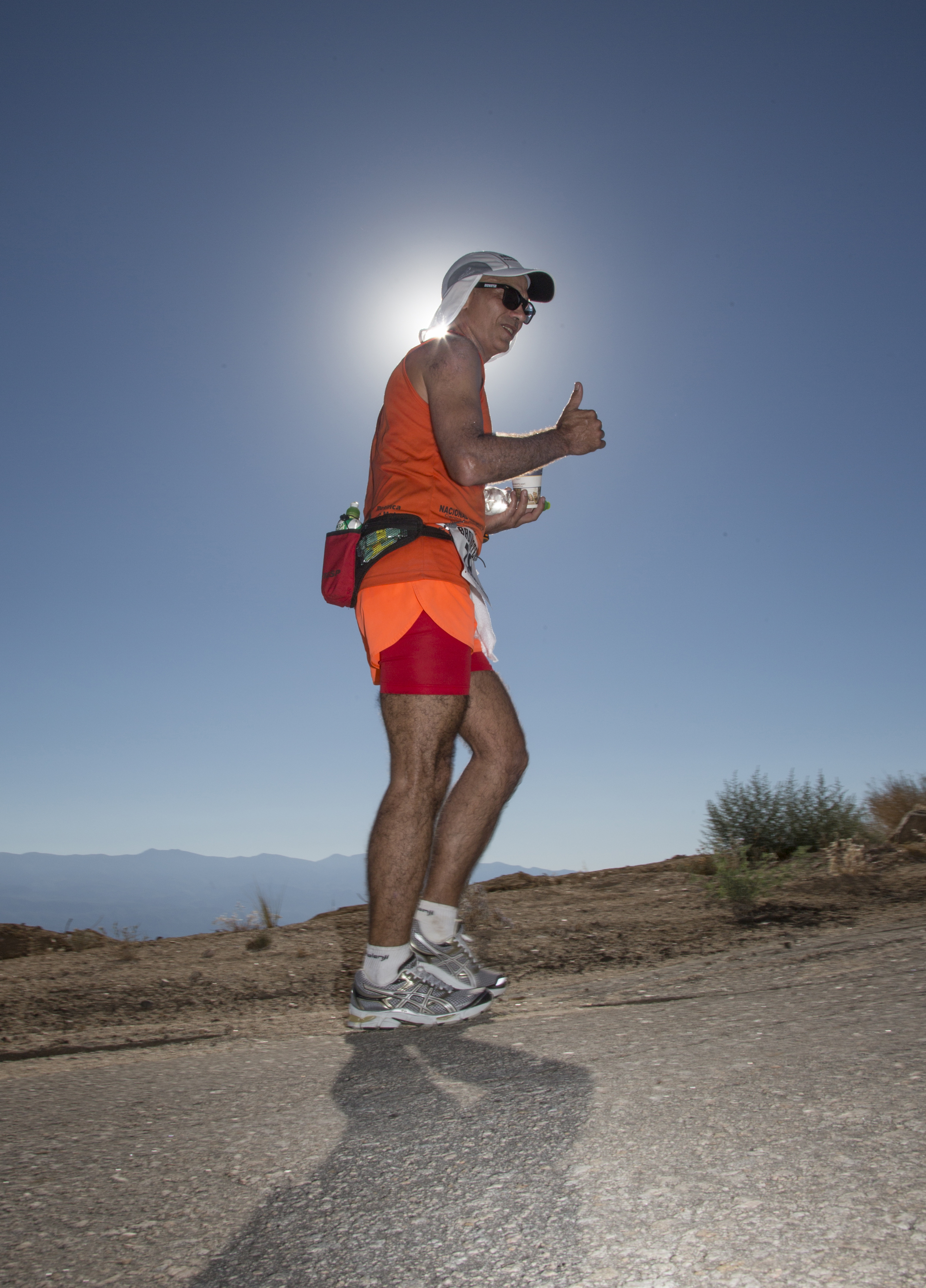
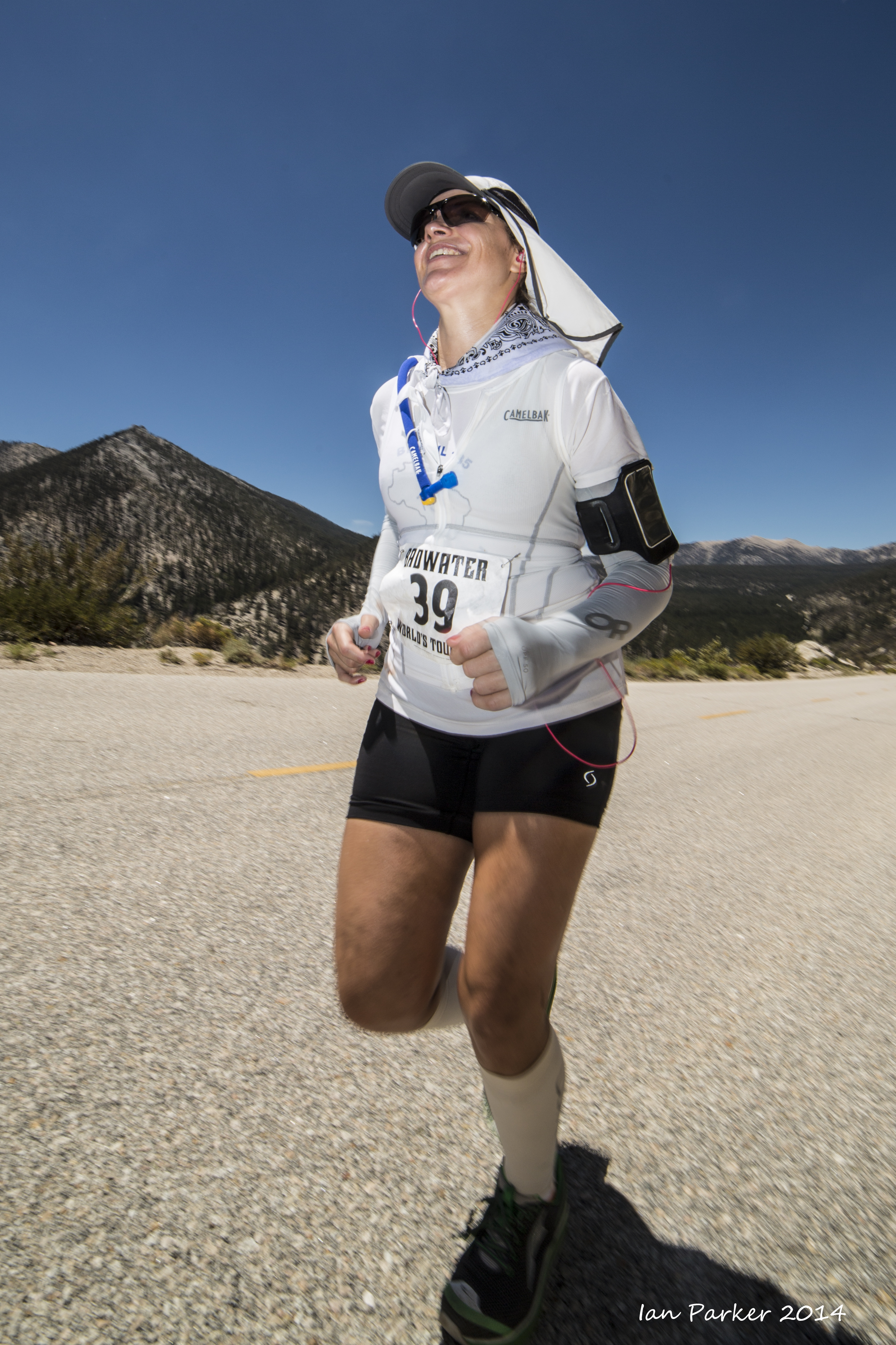
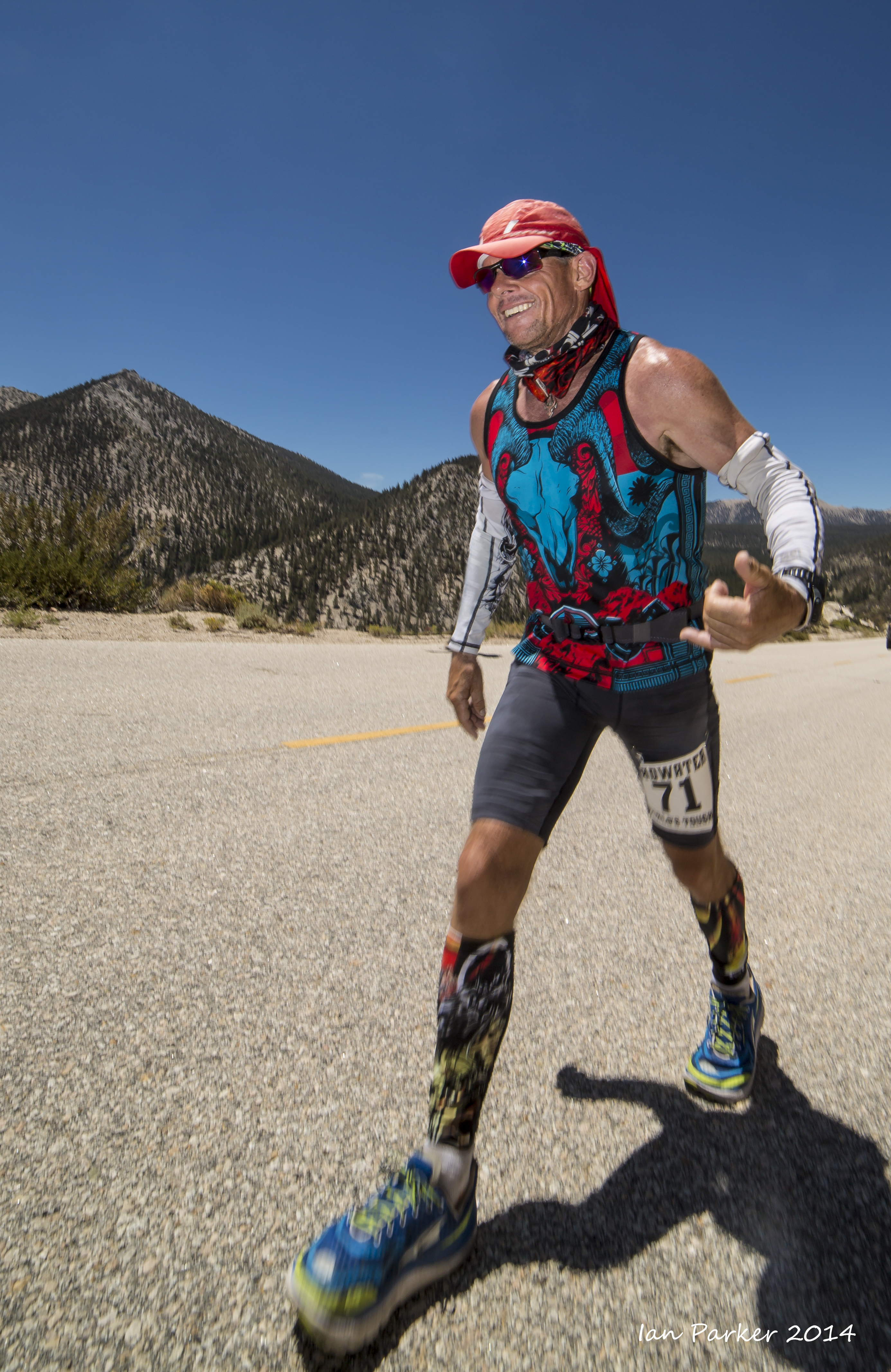
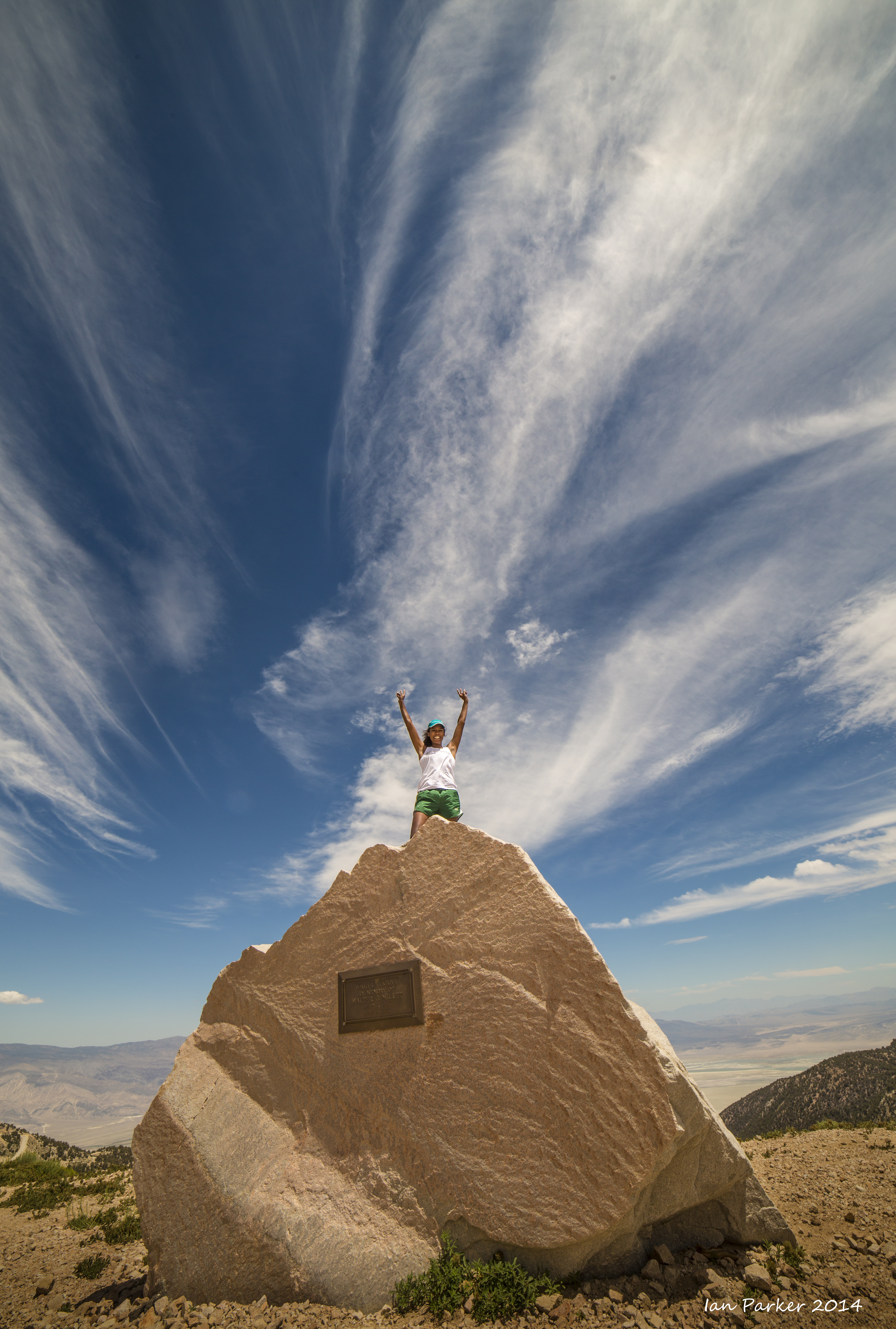
July 20th-23rd: Badwater 135 Ultramarathon
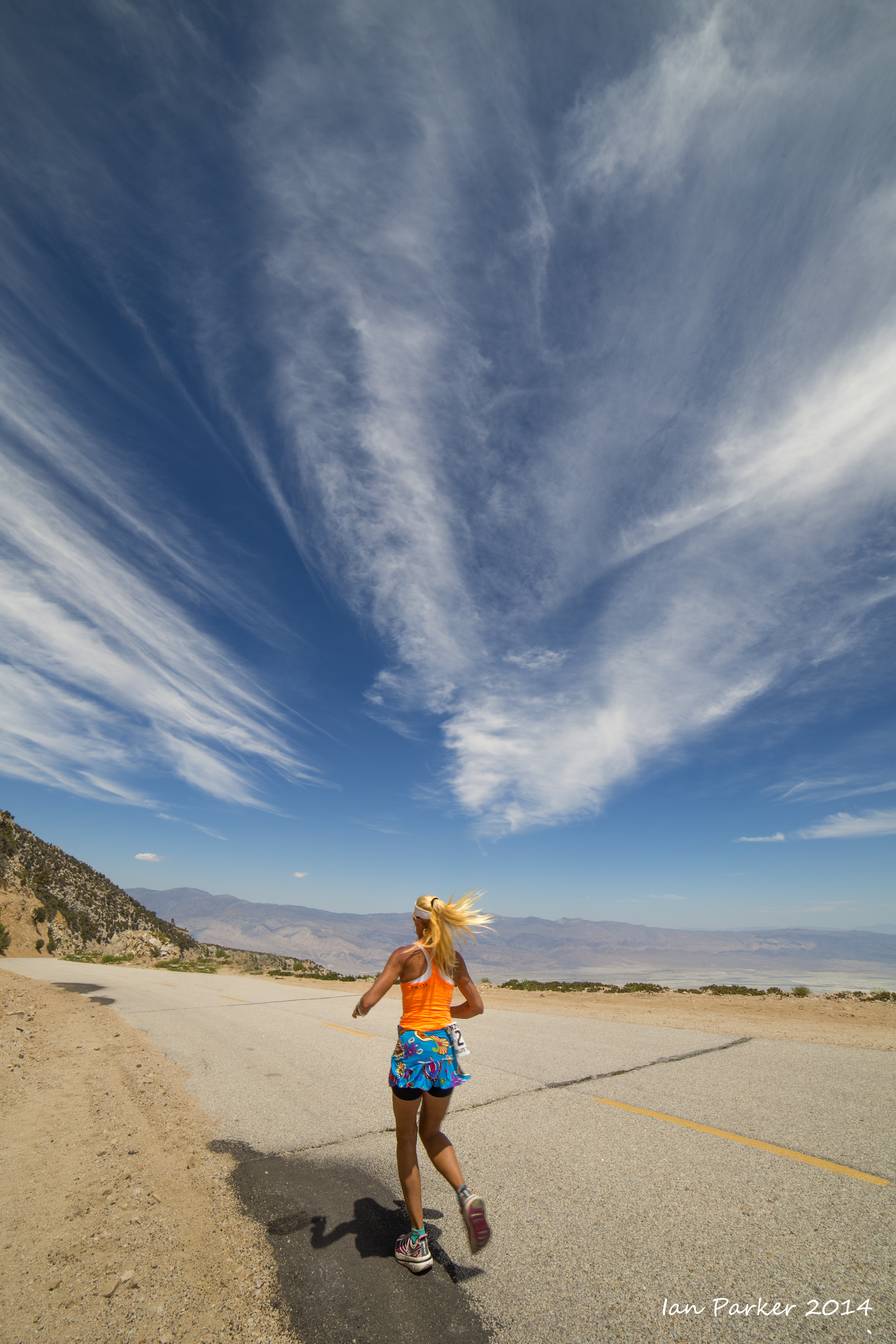
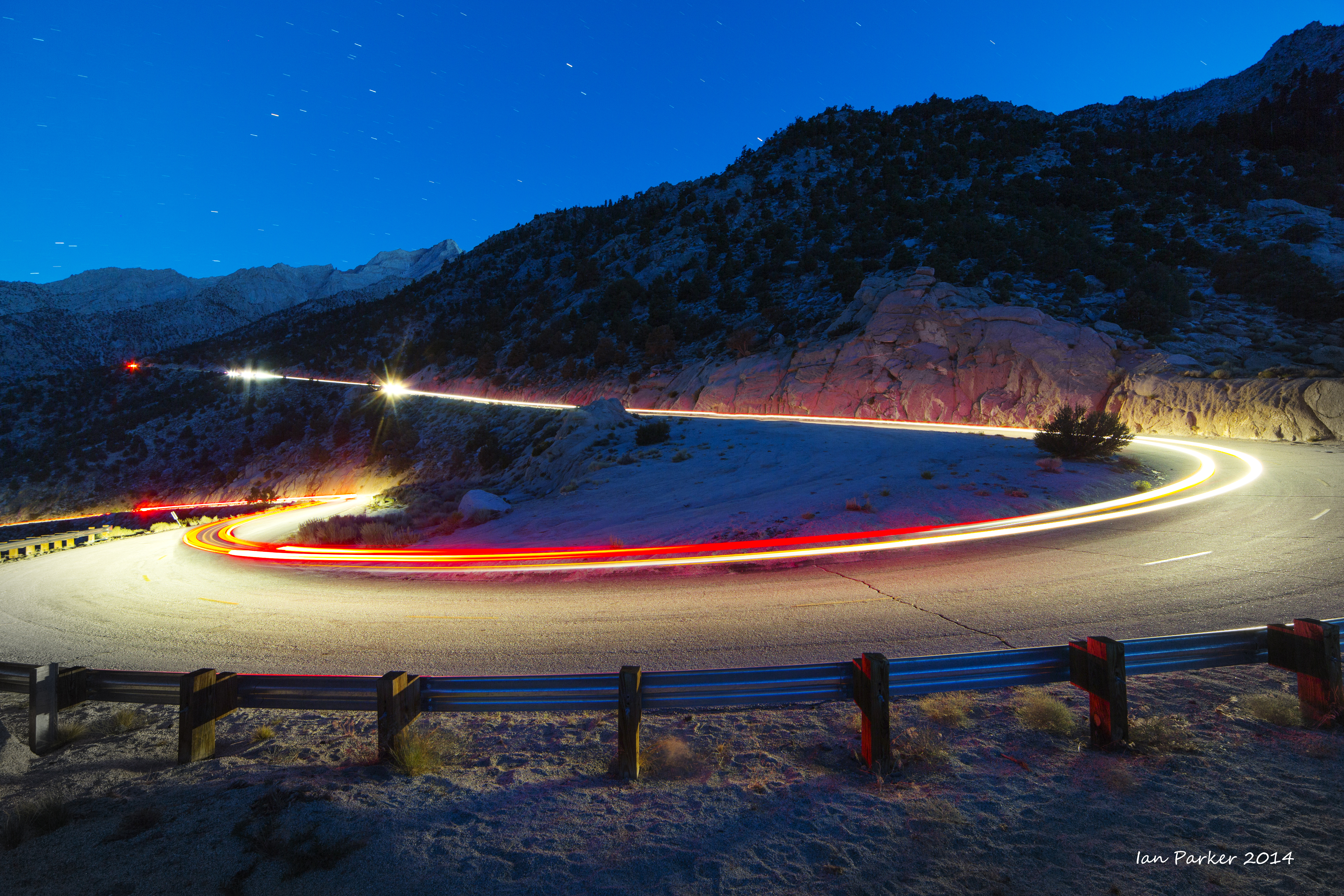
I completed the Badwater Ultramarathon (the "World's toughest footrace") nine times between 2002-2011, and for the last two years returned in the easier role of staff photographer. Historically the race has run between Badwater Basin in Death Valley (the lowest point in the Western hemisphere) and the portal to Mt. Whitney (the highest point in the contiguous 48 states). This year, however, the National Park authorities placed a moratorium on athletic events in Death Valley (see HERE), necessitating a change of route. The 2014 edition of Badwater thus included only about one half of the original route, retaining the finish at Whitnel Portal, but substituting two new extreme climbs up to Horseshoe Meadow and Cerro Gordo ghost town in place of the extreme heat experienced through the 42 miles below sea level in the bottom of Death Valley. Photographically, this eliminated the spectacular arid desert scenery of Death Valley, but in compensation provided sweeping vistas of the Sierras and Owen's Valley, together with the historic relics of Cerro Gordo.
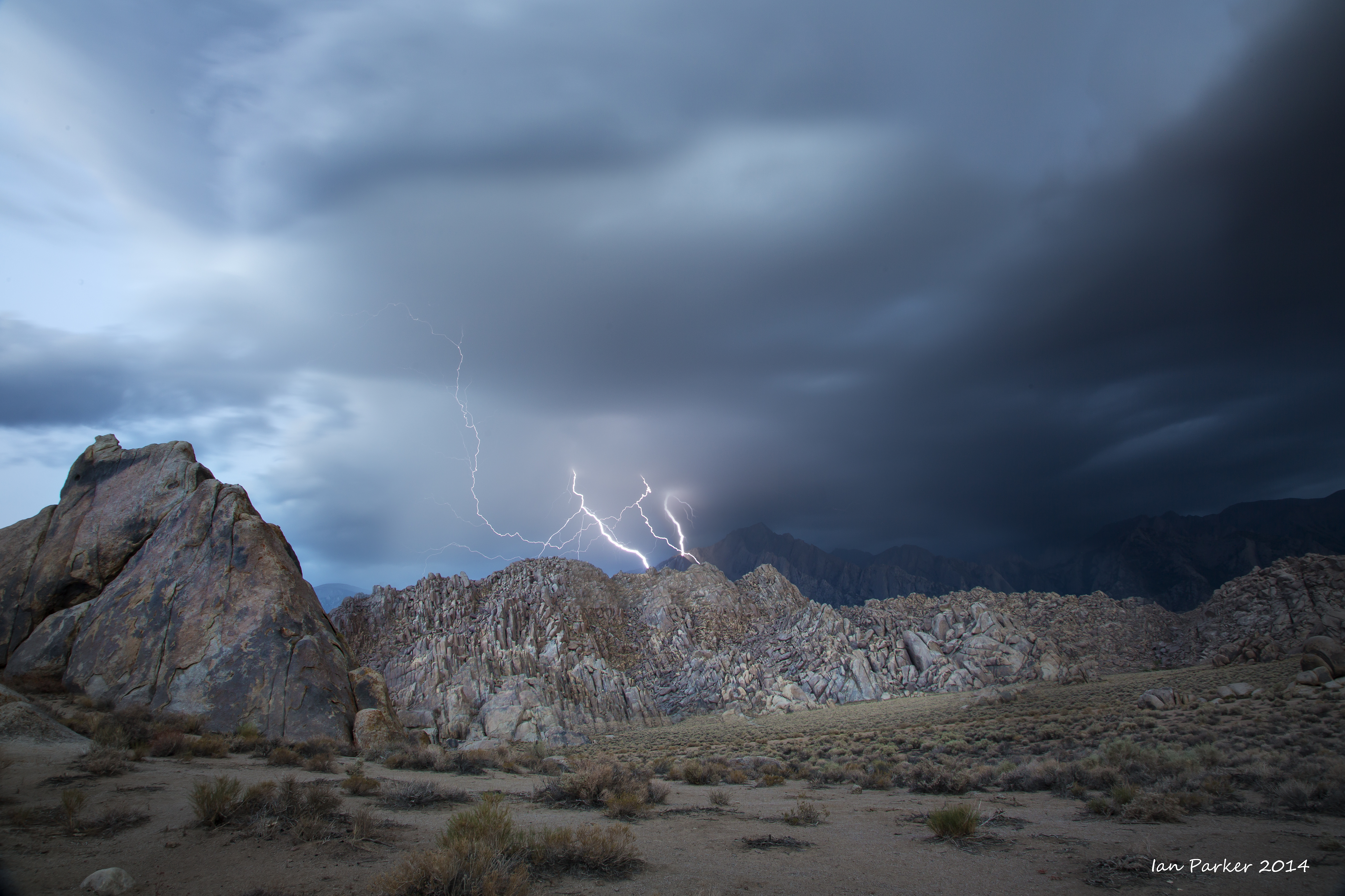
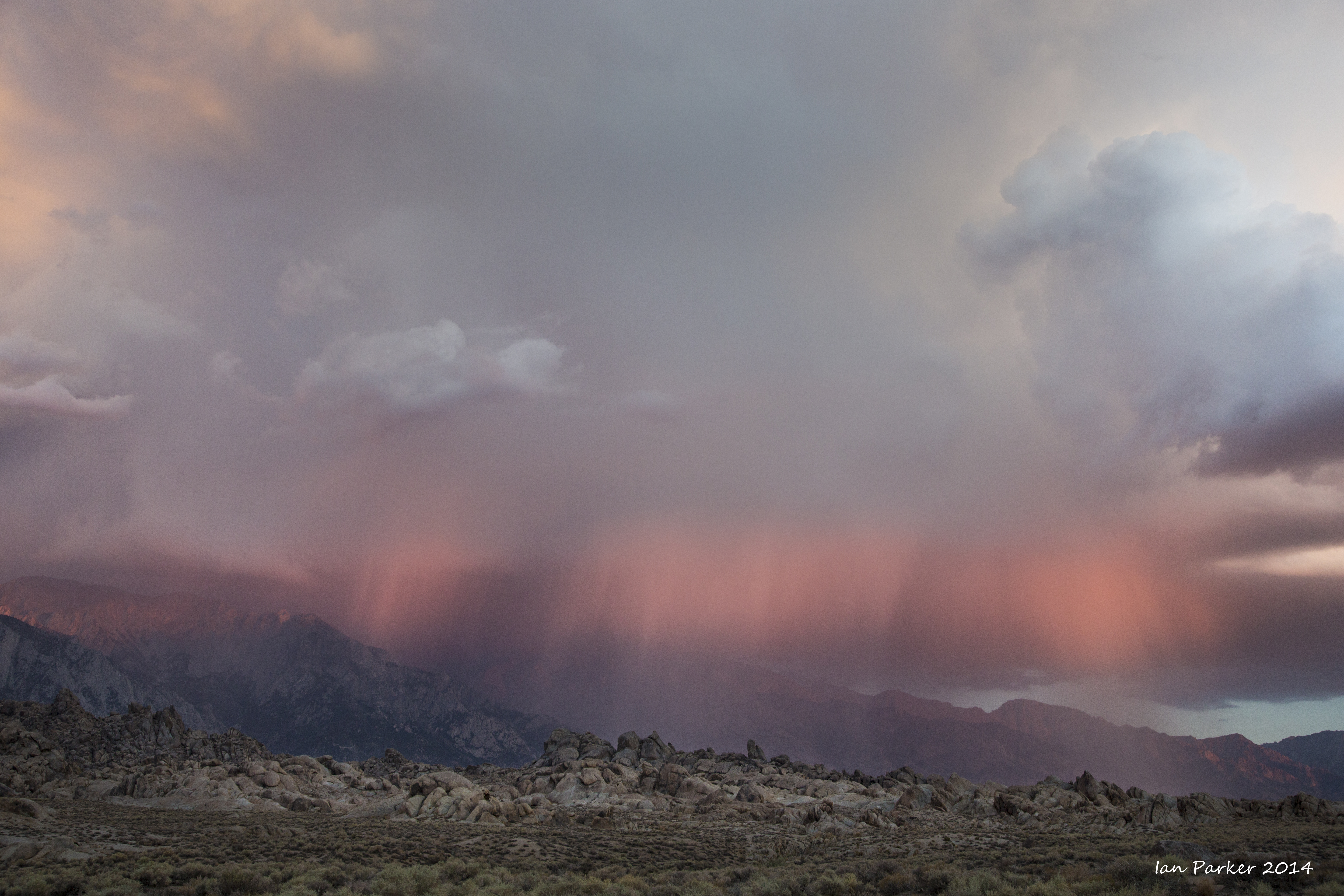
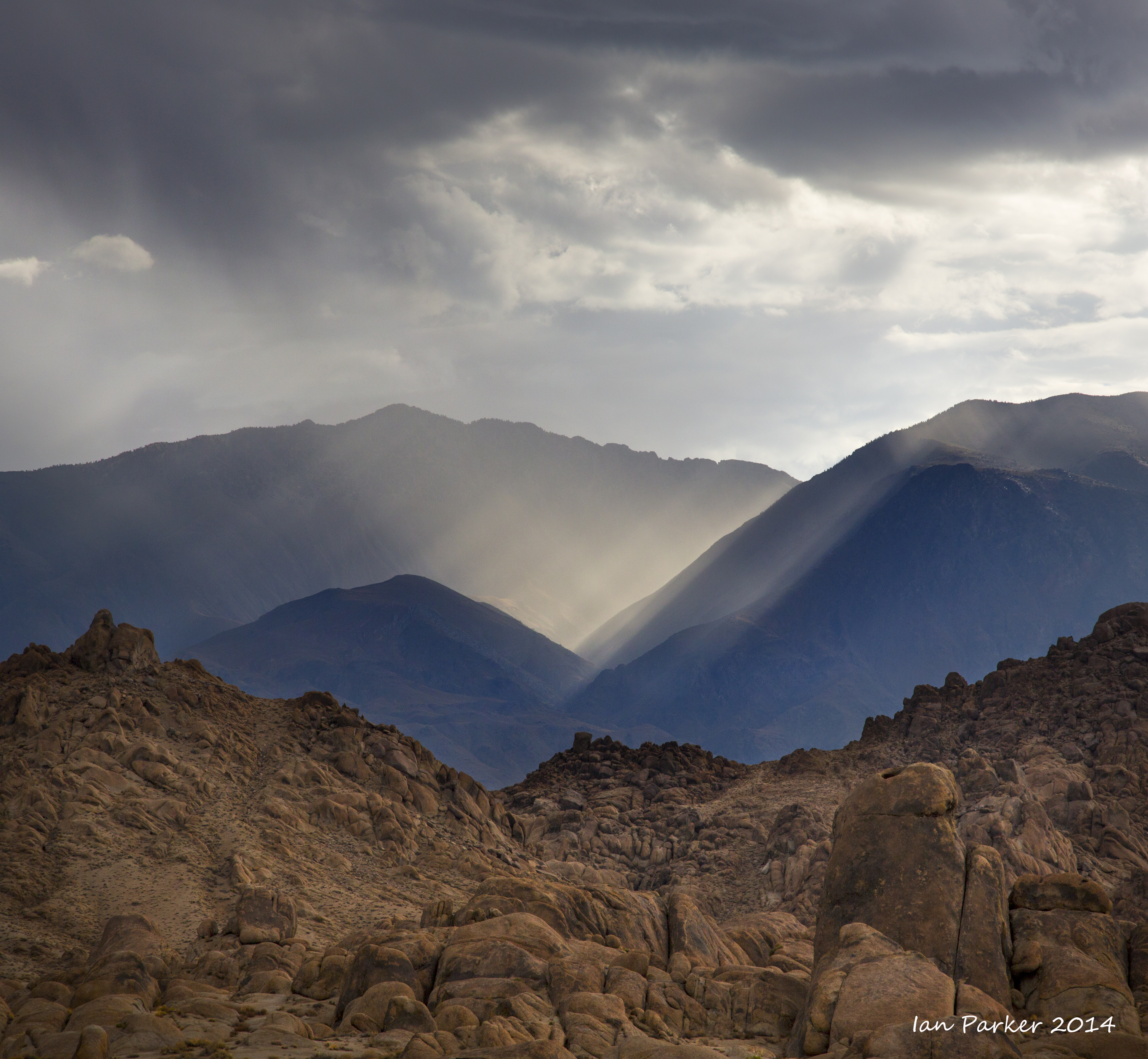
Dawn on the Sunday morning, before the runner check-in, brought thunderstorms over the Sierras and some beautiful light above the Alabama Hills. As a photographer I hoped these conditions would continue throughout the race, but likely to the relief of the runners the storm dissipated by mid-morning and the skies remained largely clear for the following days.
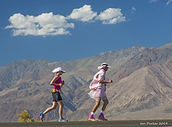
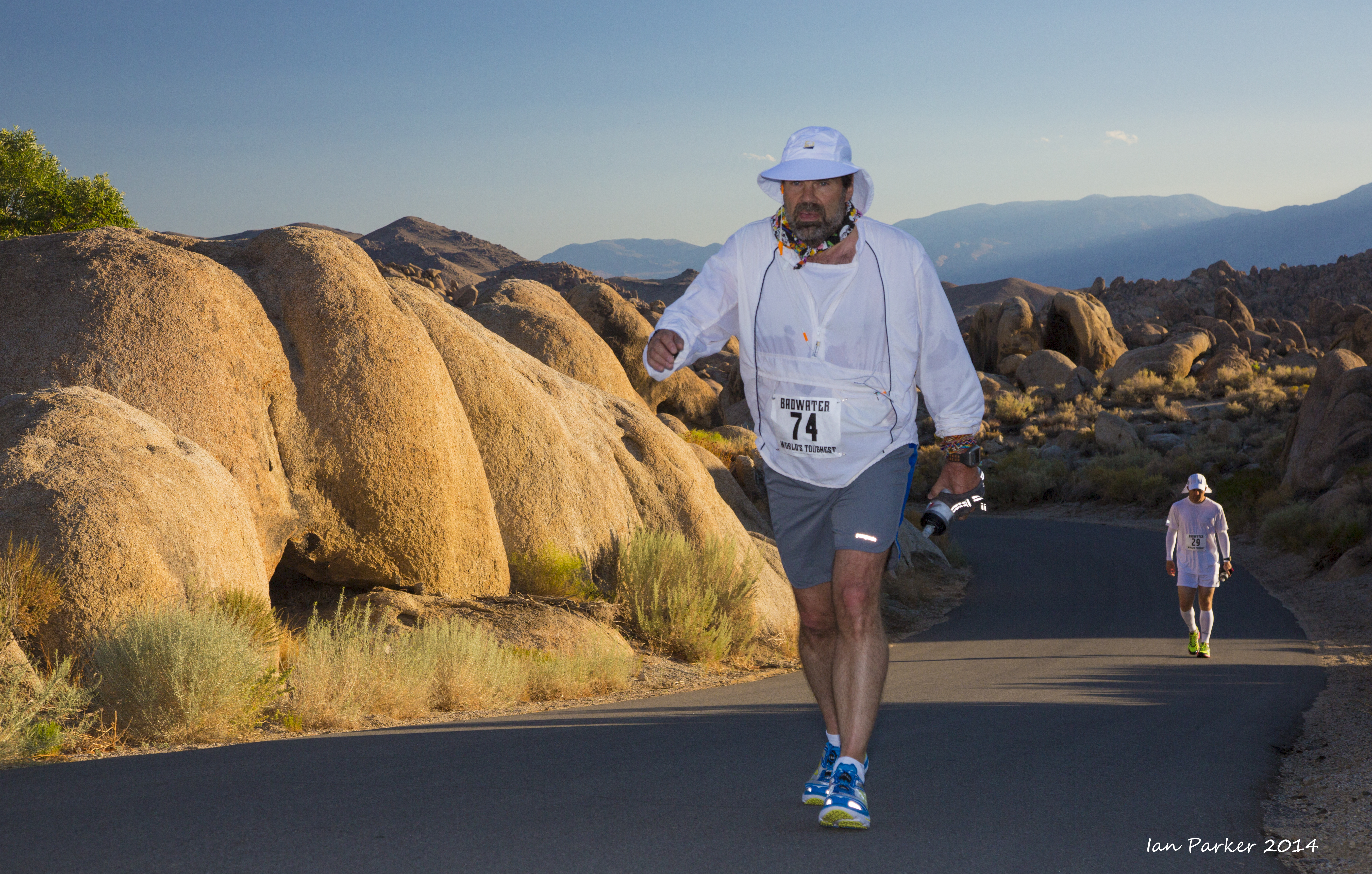
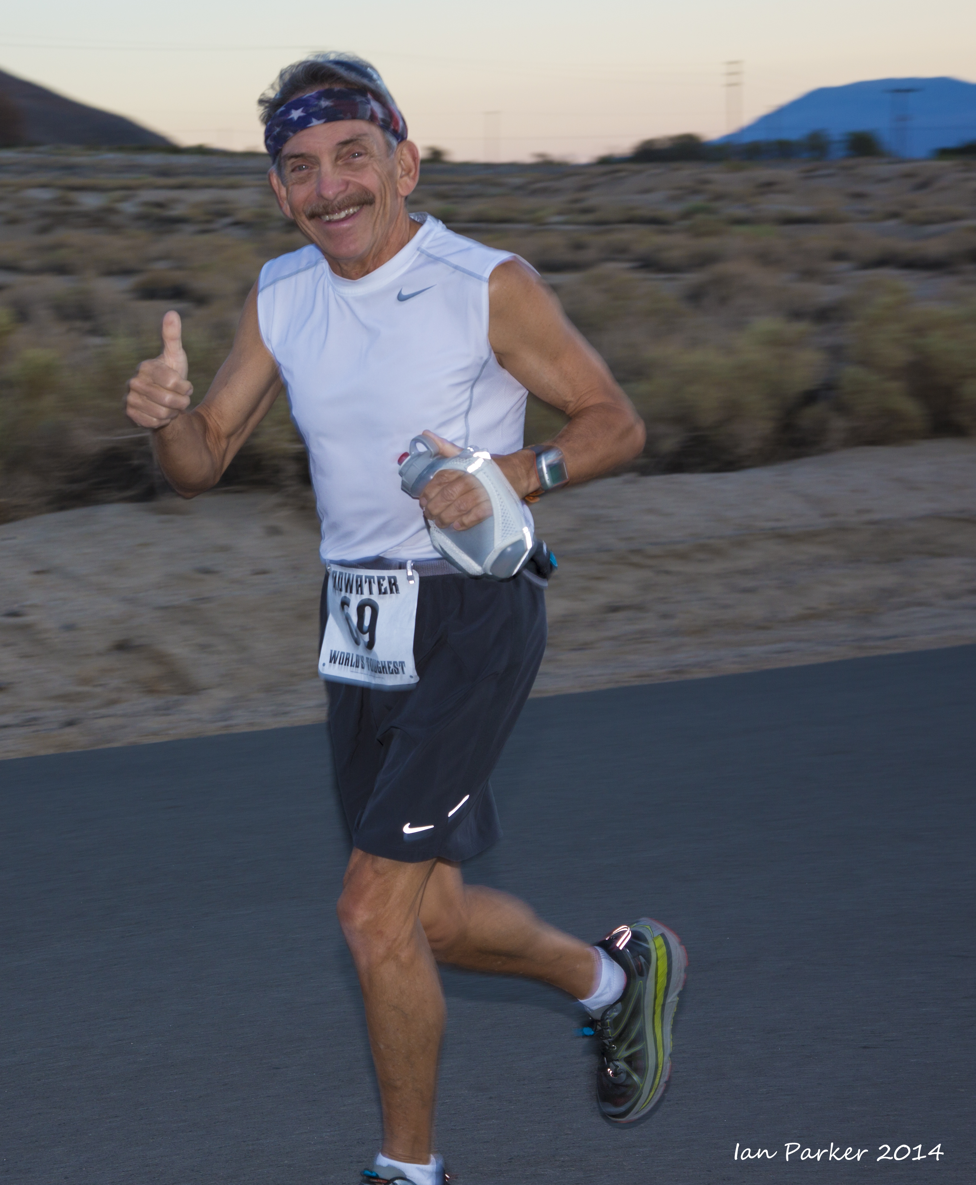
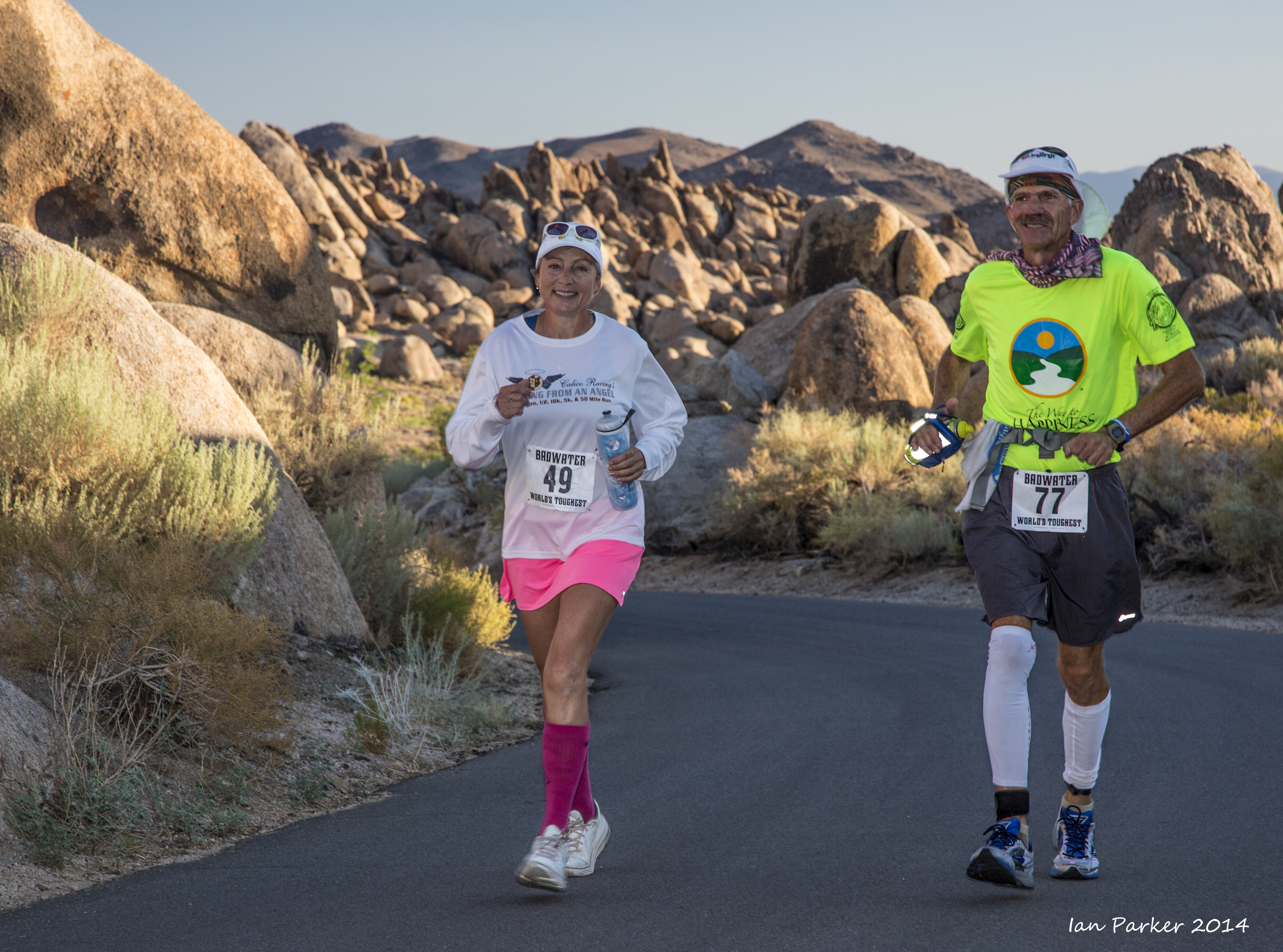
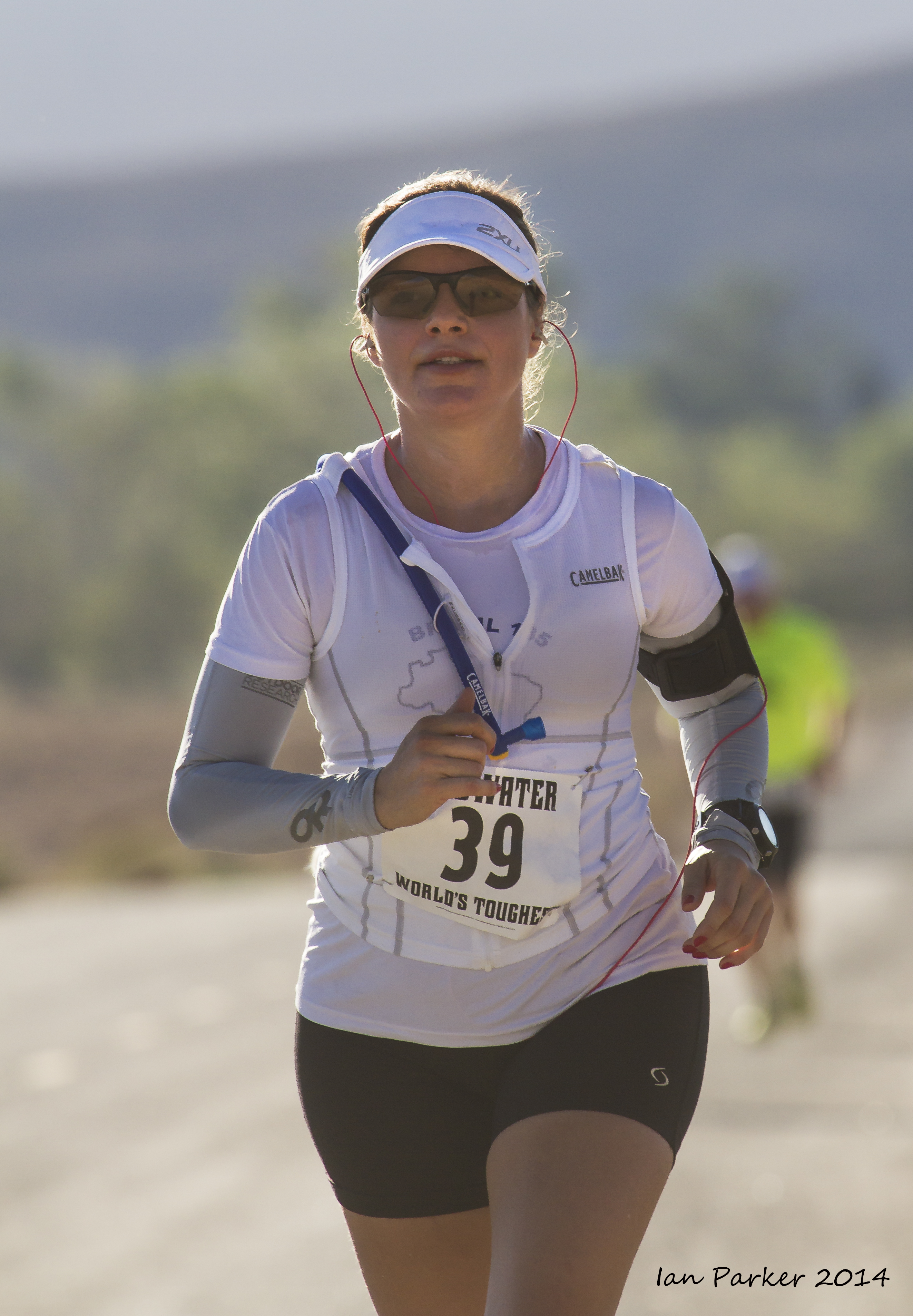
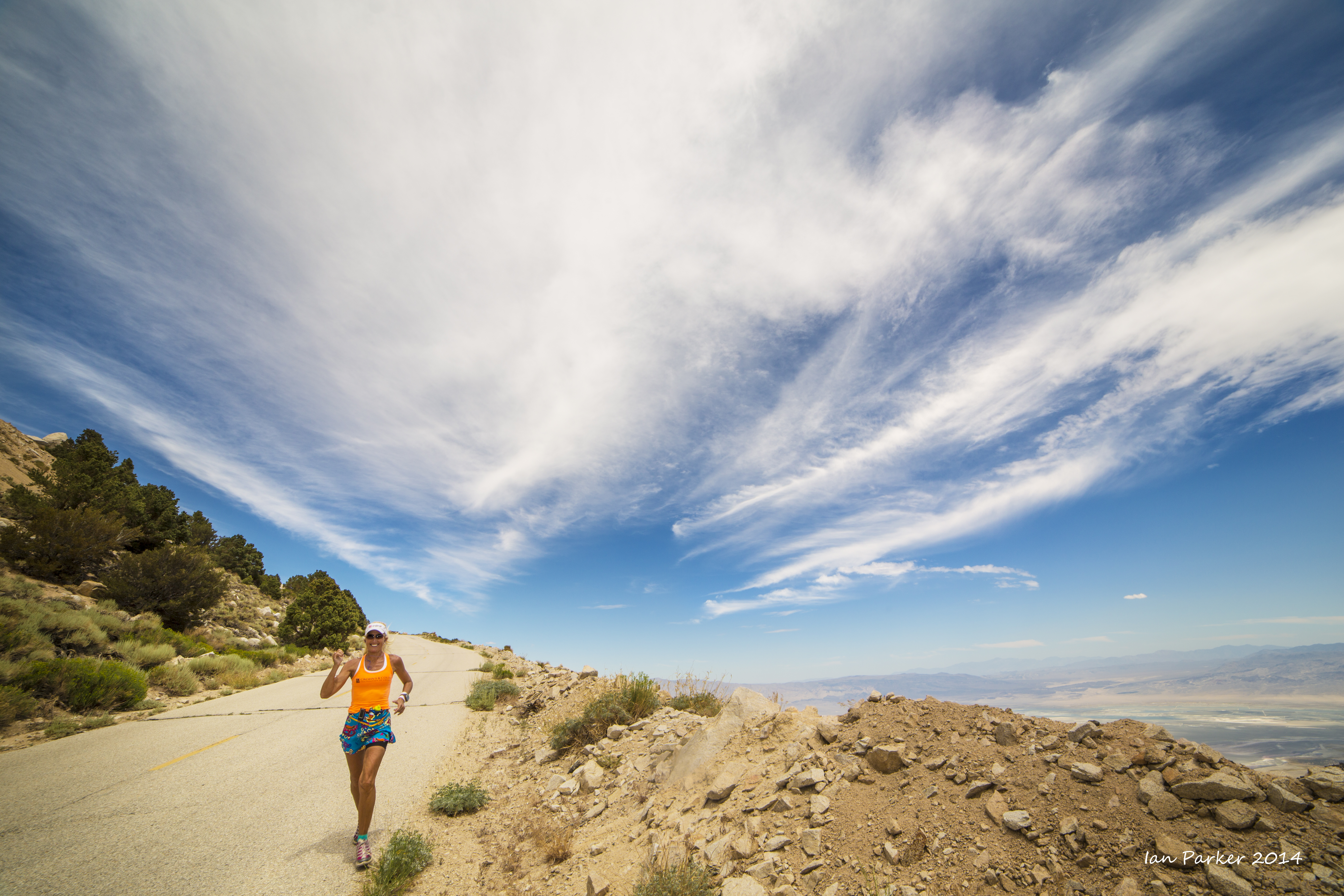
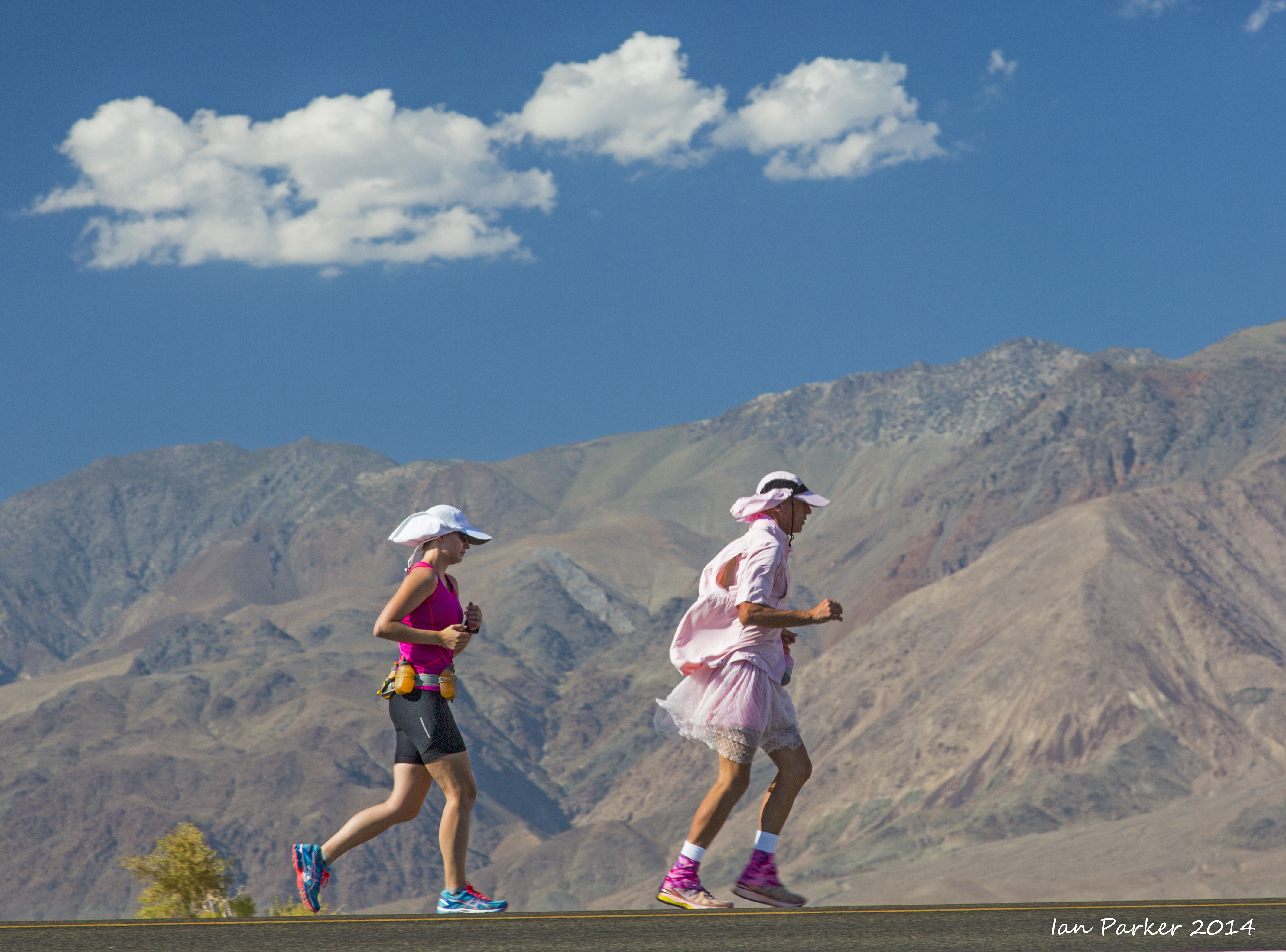
Portraits of runners and support crews during the ascent to Horseshoe Meadows
|
|
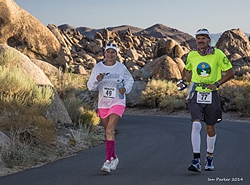
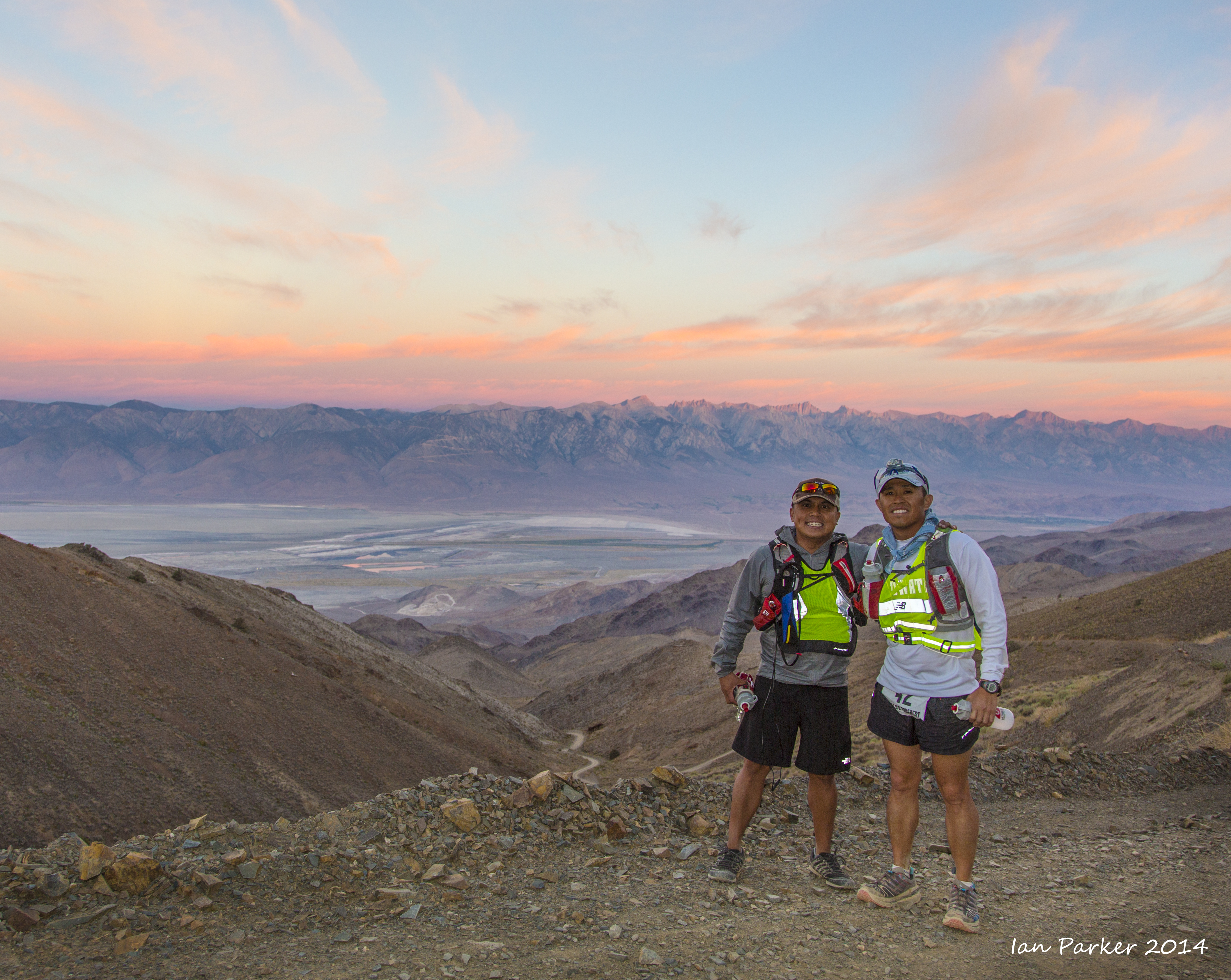
Karla Kent and John
Radich |
Wide-angle shots
and telephotos
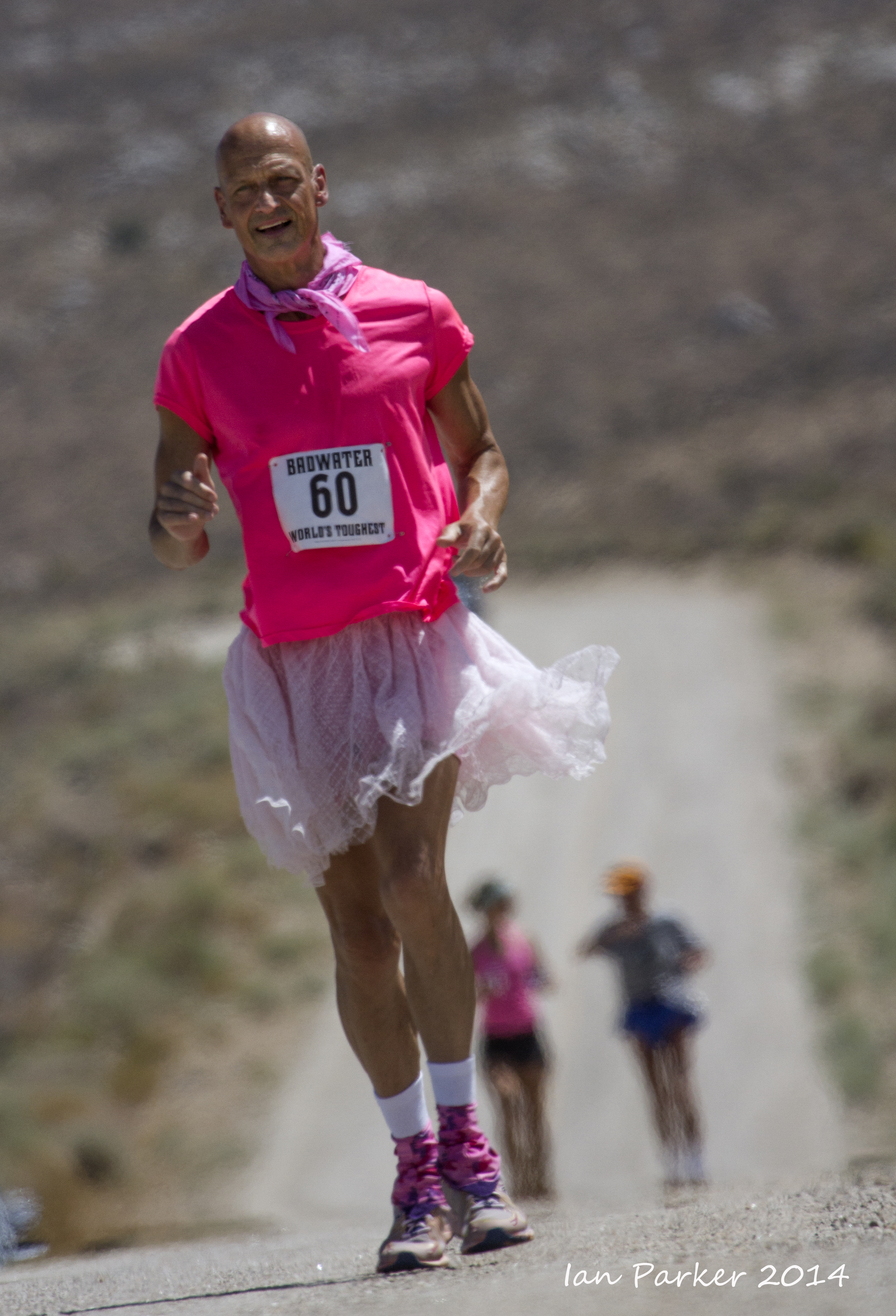
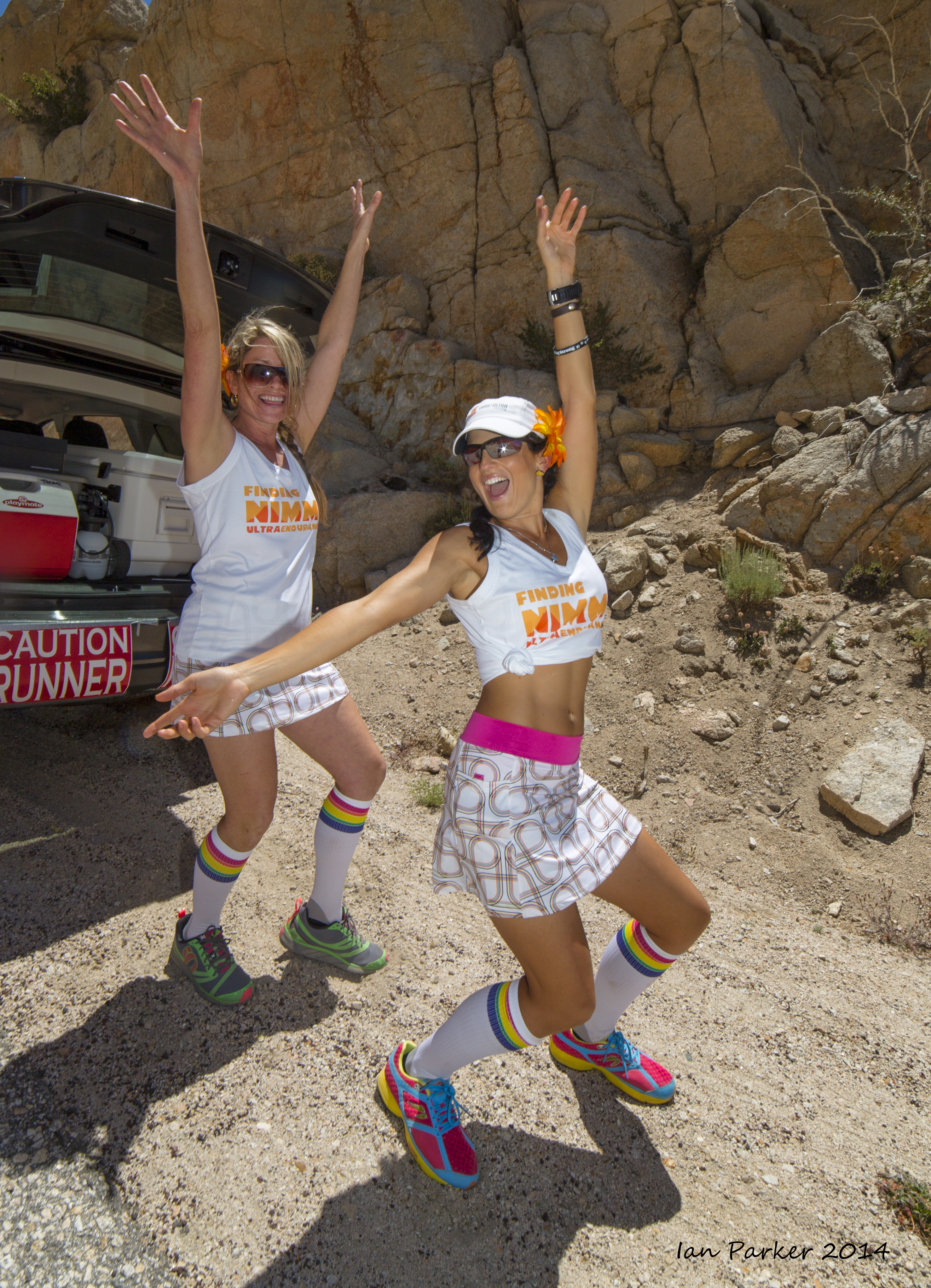
Phil Nimmo was supported by the most energetic and extrovert crew...
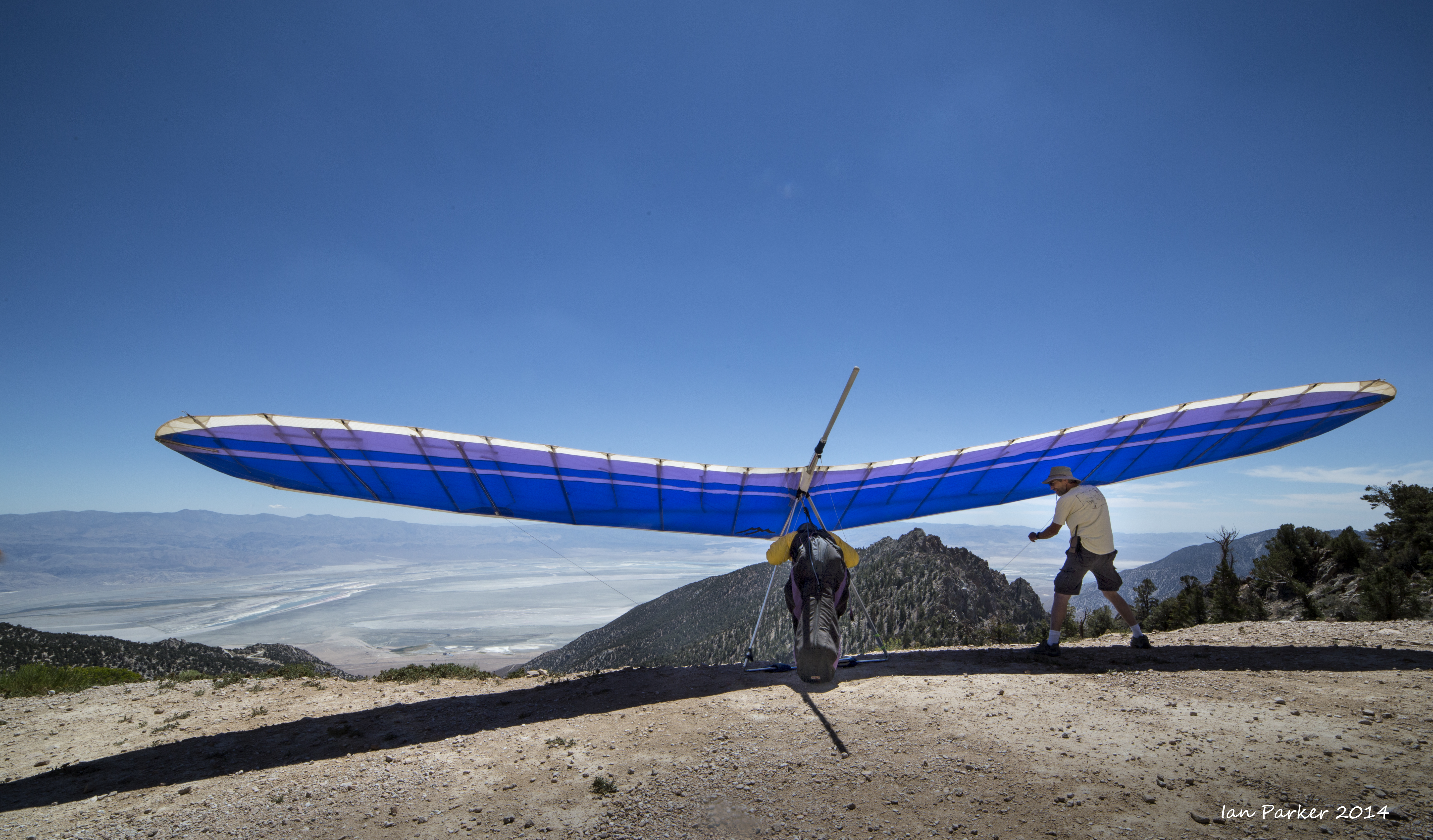
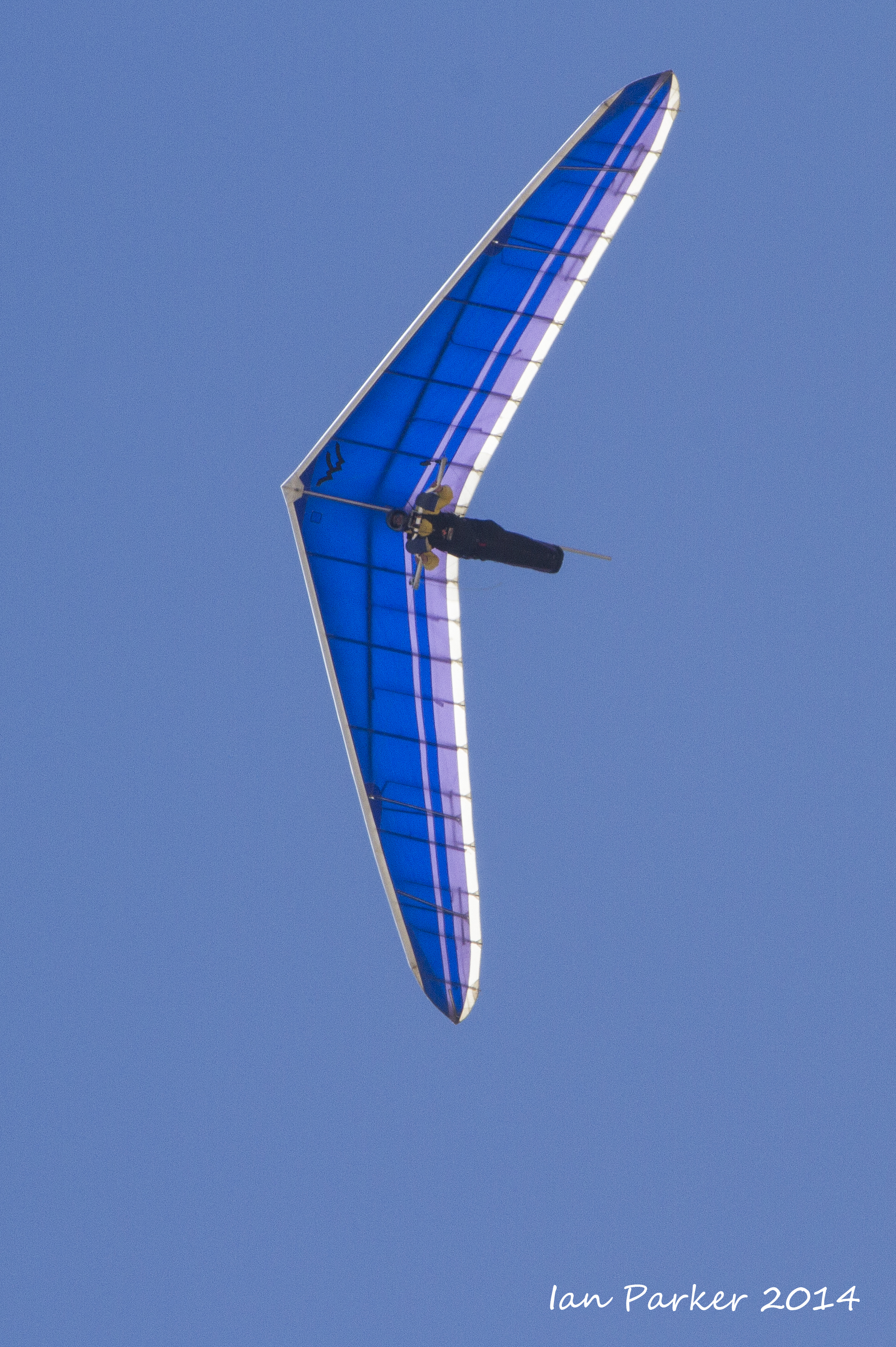
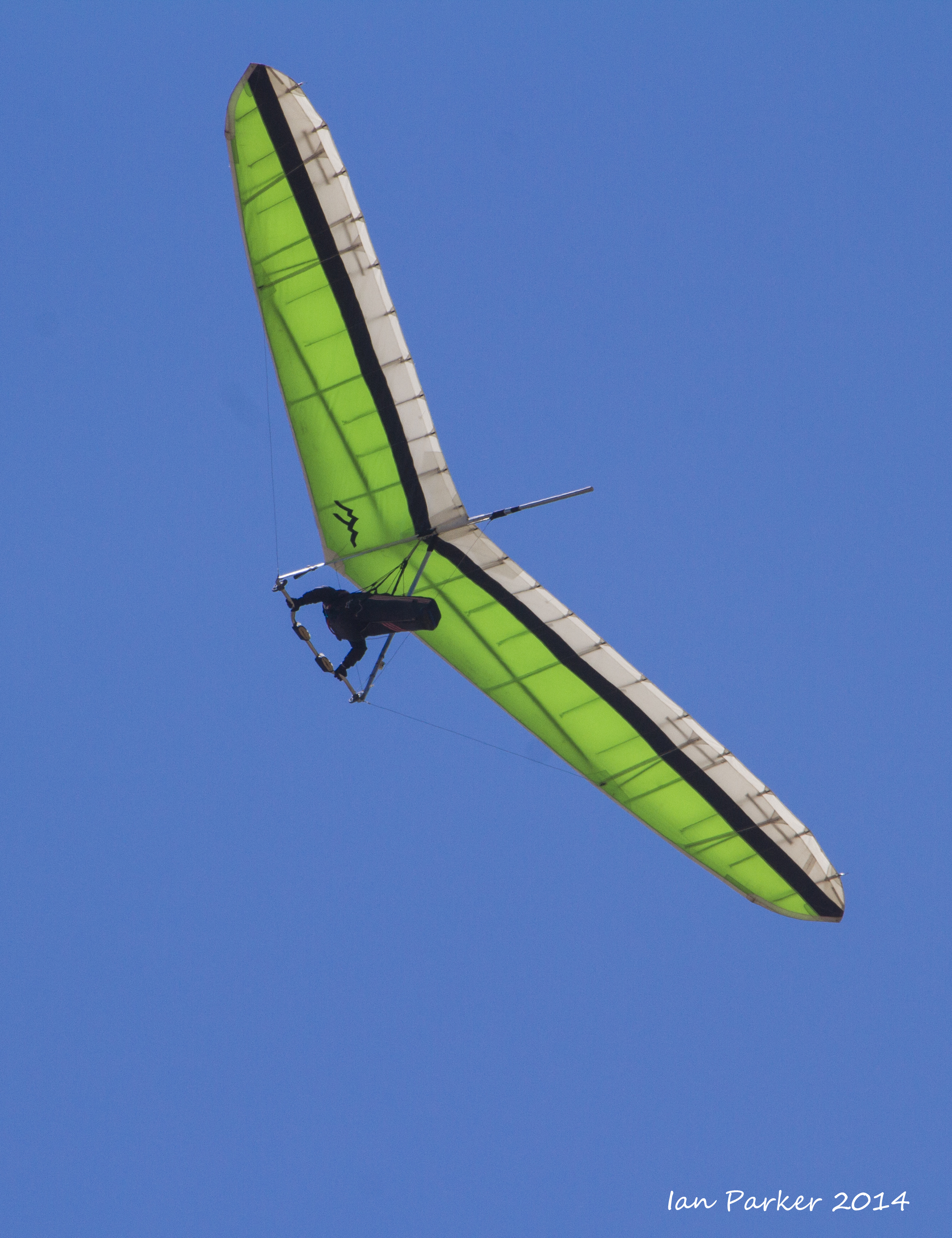
Walt's Point at about 9,000ft elevation up the Horseshoe Meadows road is a 'mega-classic jump off point' for epic cross-country hanglider and para-glider flights. Several hang-gliders were lined up and took off as the runners passed by.
Some nice clouds developed as the runners were descending back down to Lone Pine
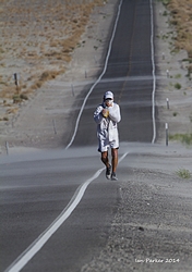
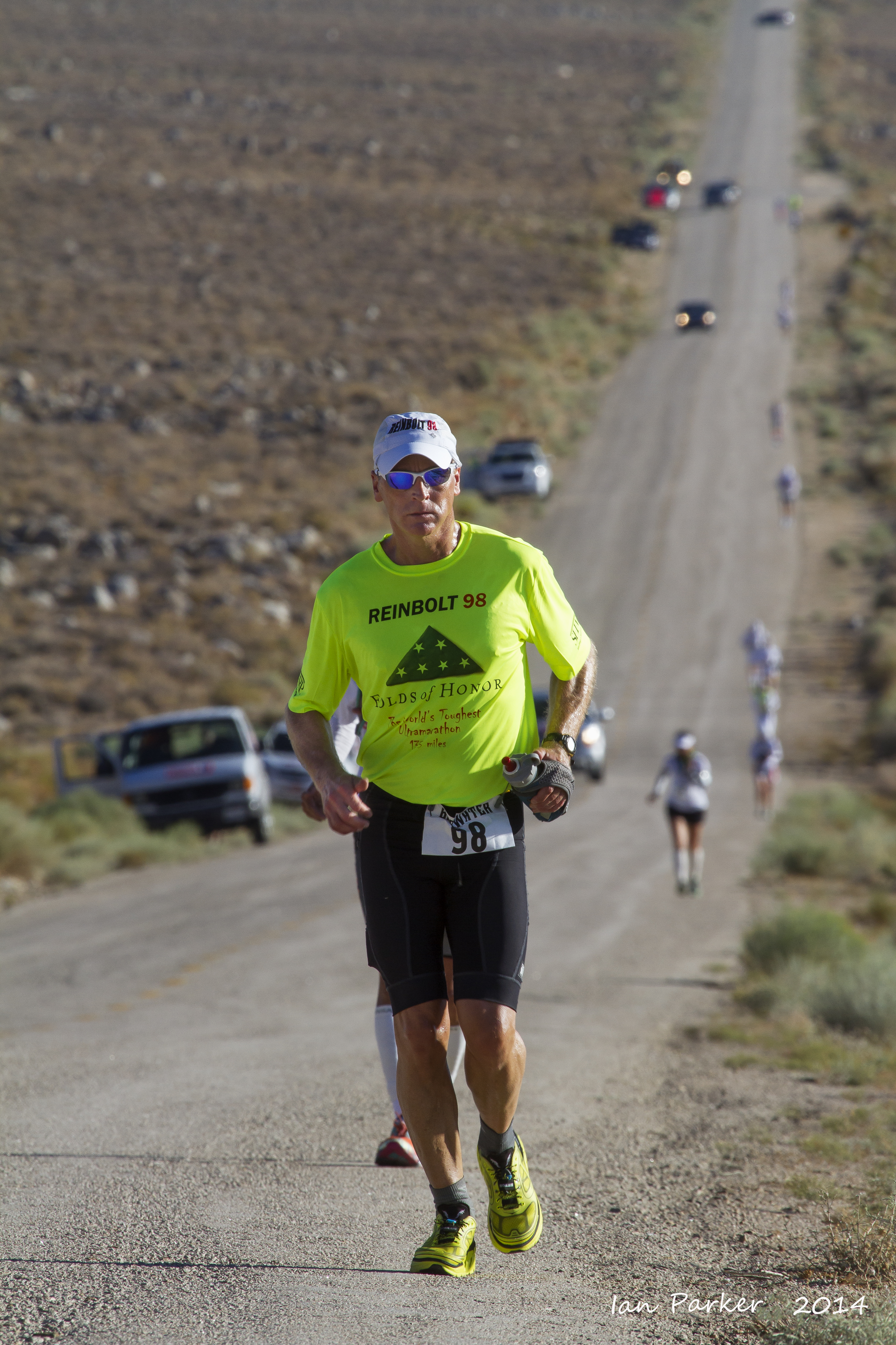
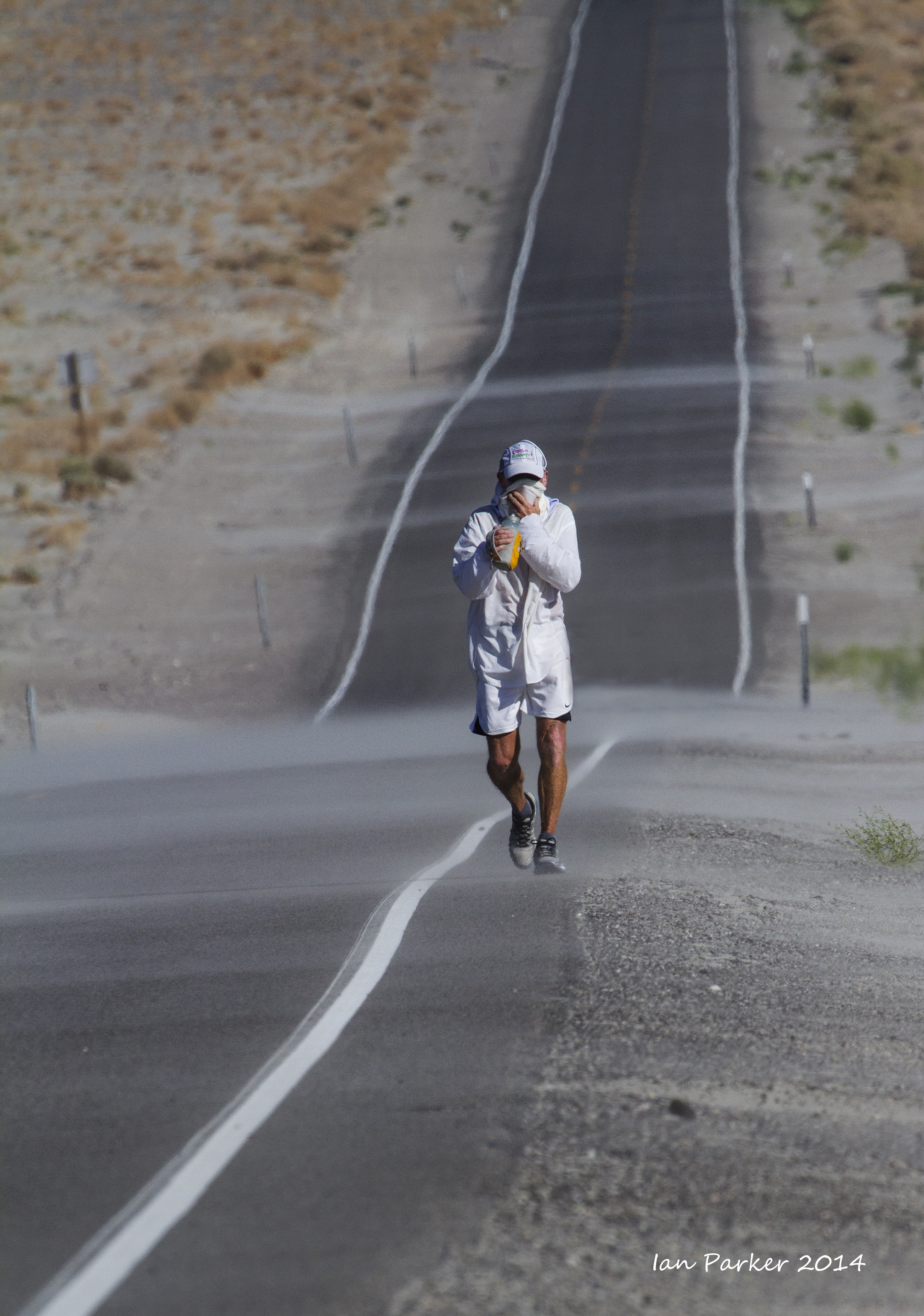
After the
6,000 ft elevation change to Horseshoe Meadows the route alongside Owen's Lake offered level running, but also increased heat and blowing dust.
|
Tutu man and pacer with Inyo mountains as backdrop
|
The heat and the dust
|
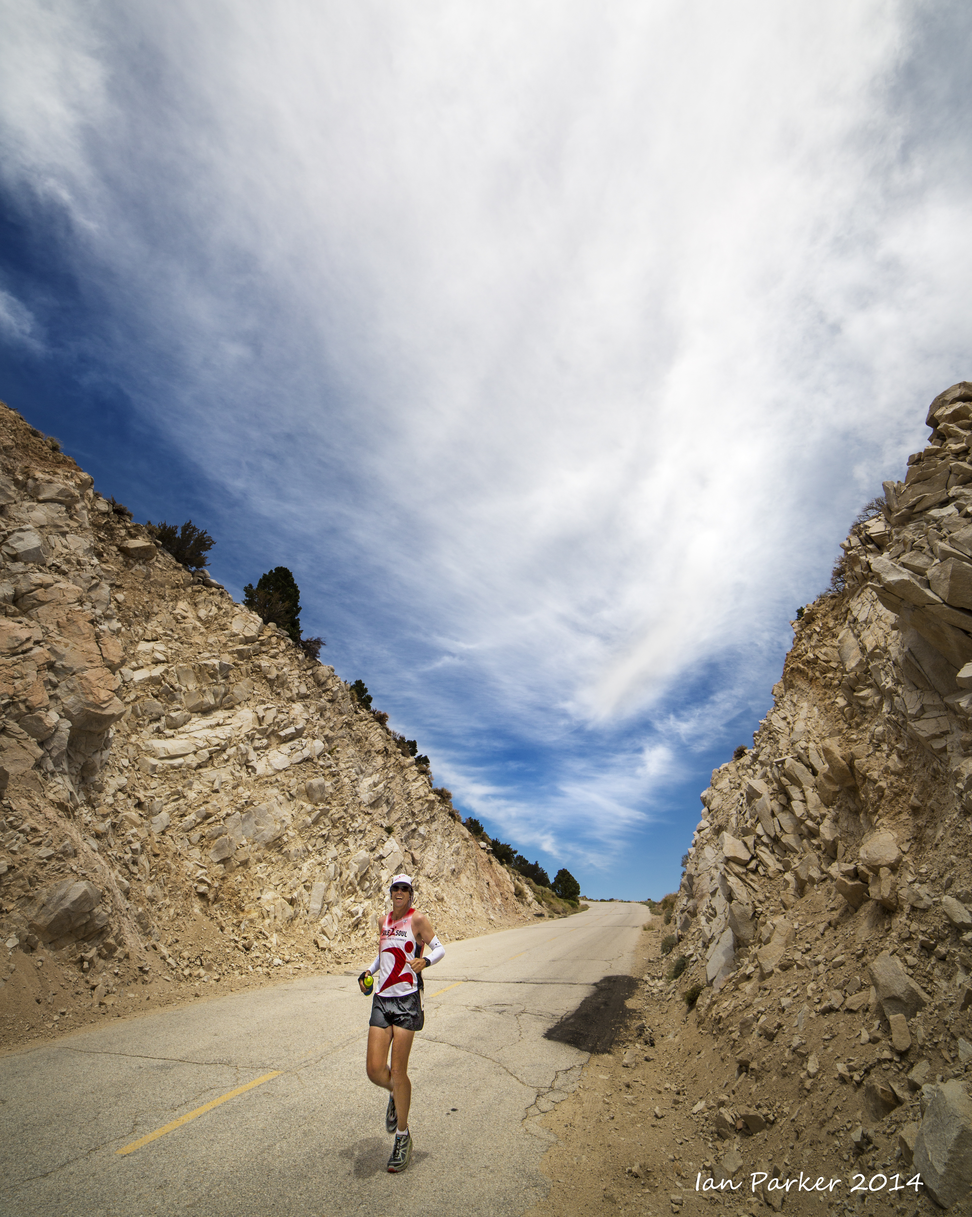
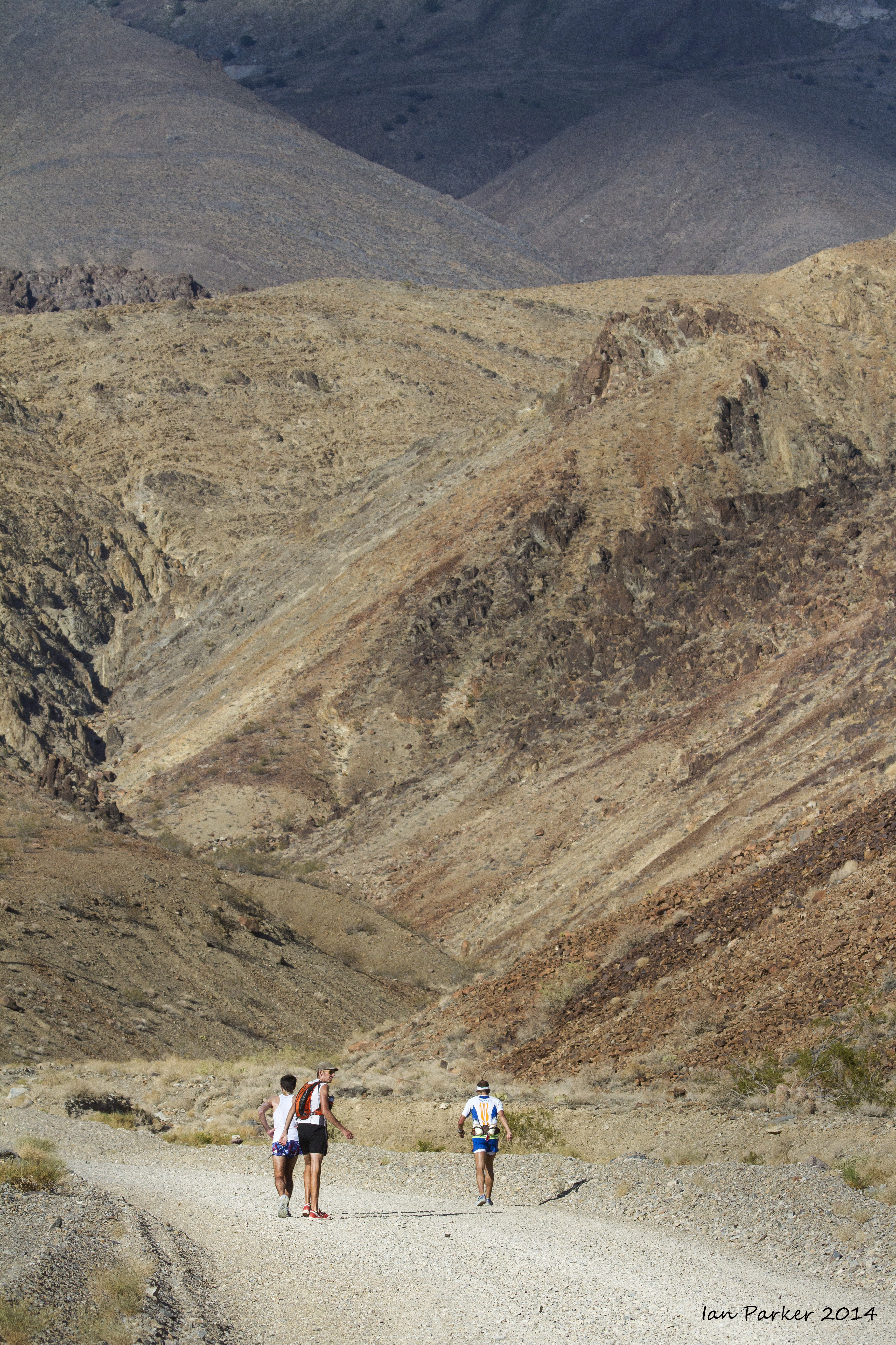
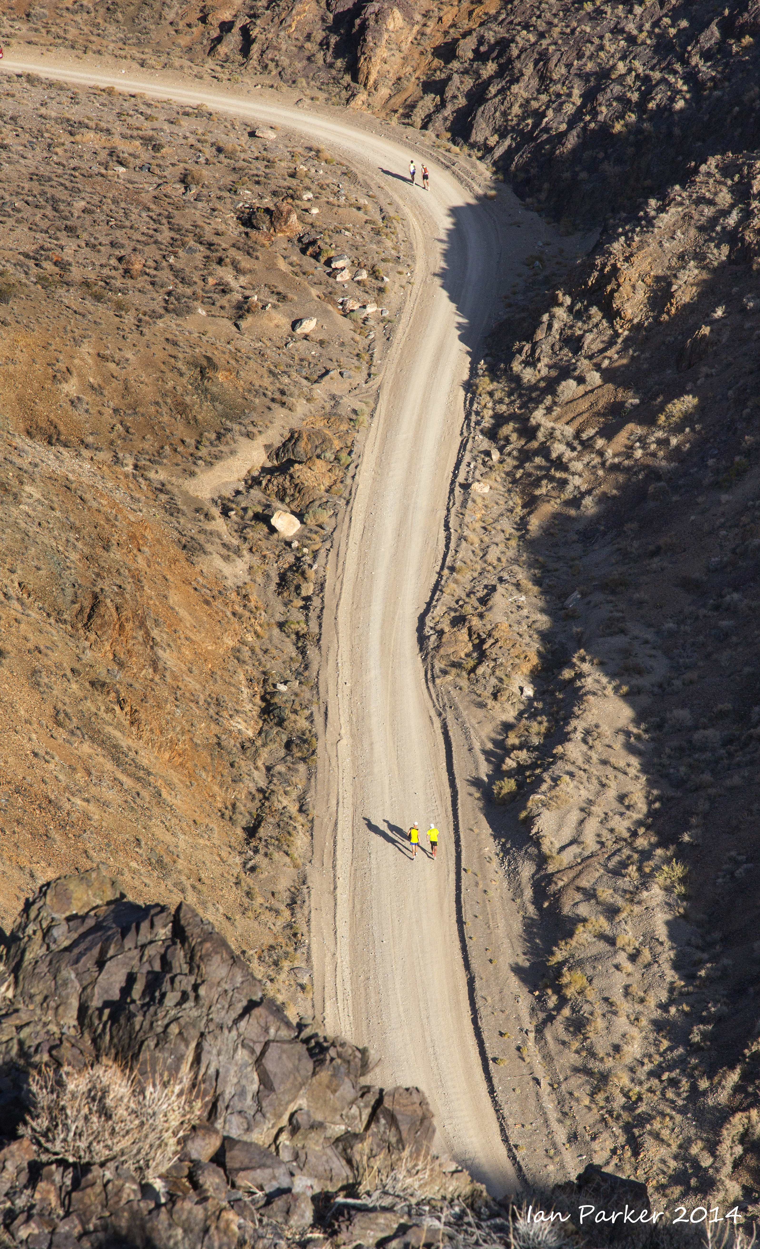
At mile 59 the runners detoured from the highway
to ascend the steep and rugged Yellow Grade Road to a turnaround at Cerro Gordo ghost town.

Entering the canyon on the Yellow Grade Road to Cerro Gordo
|
|
|
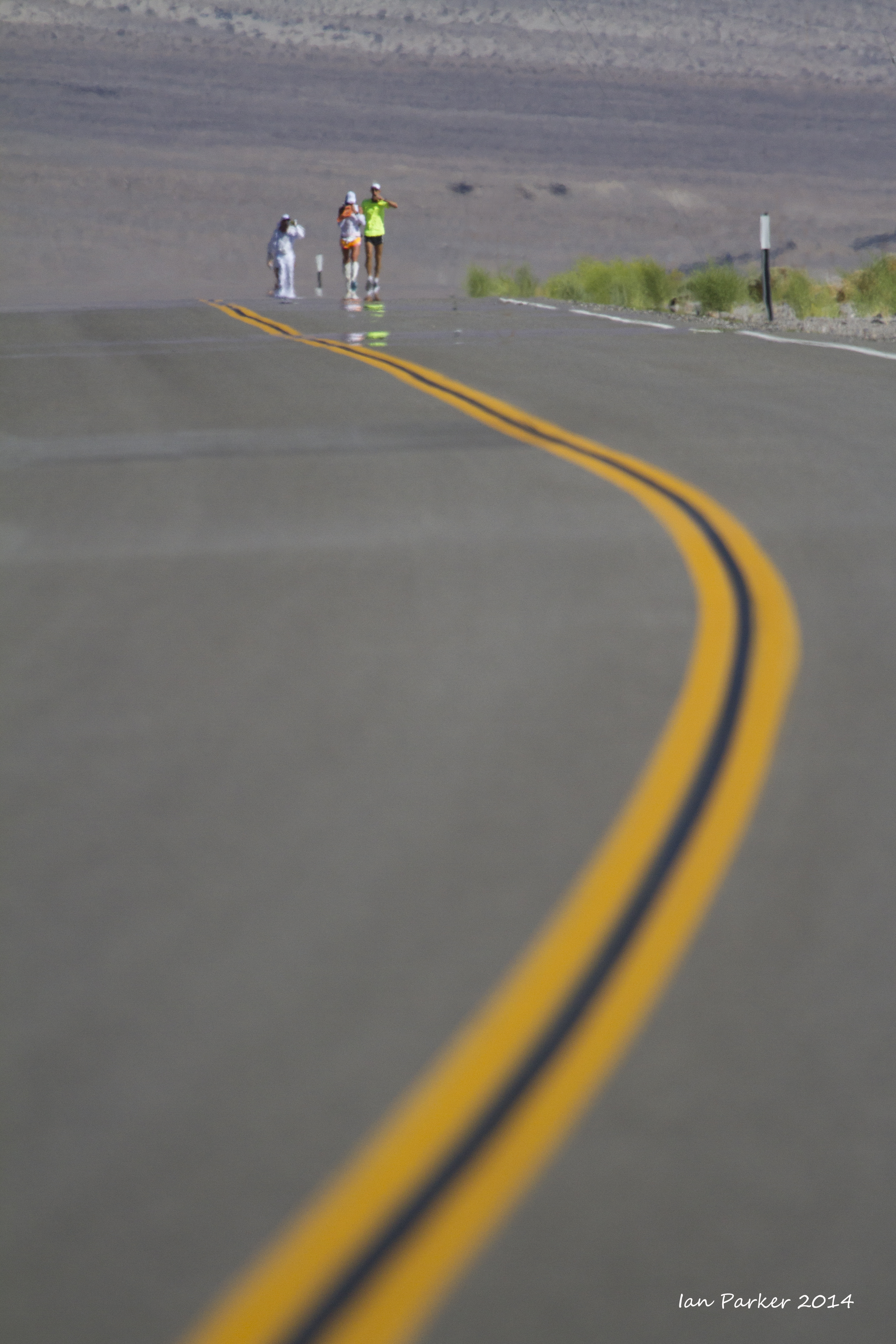
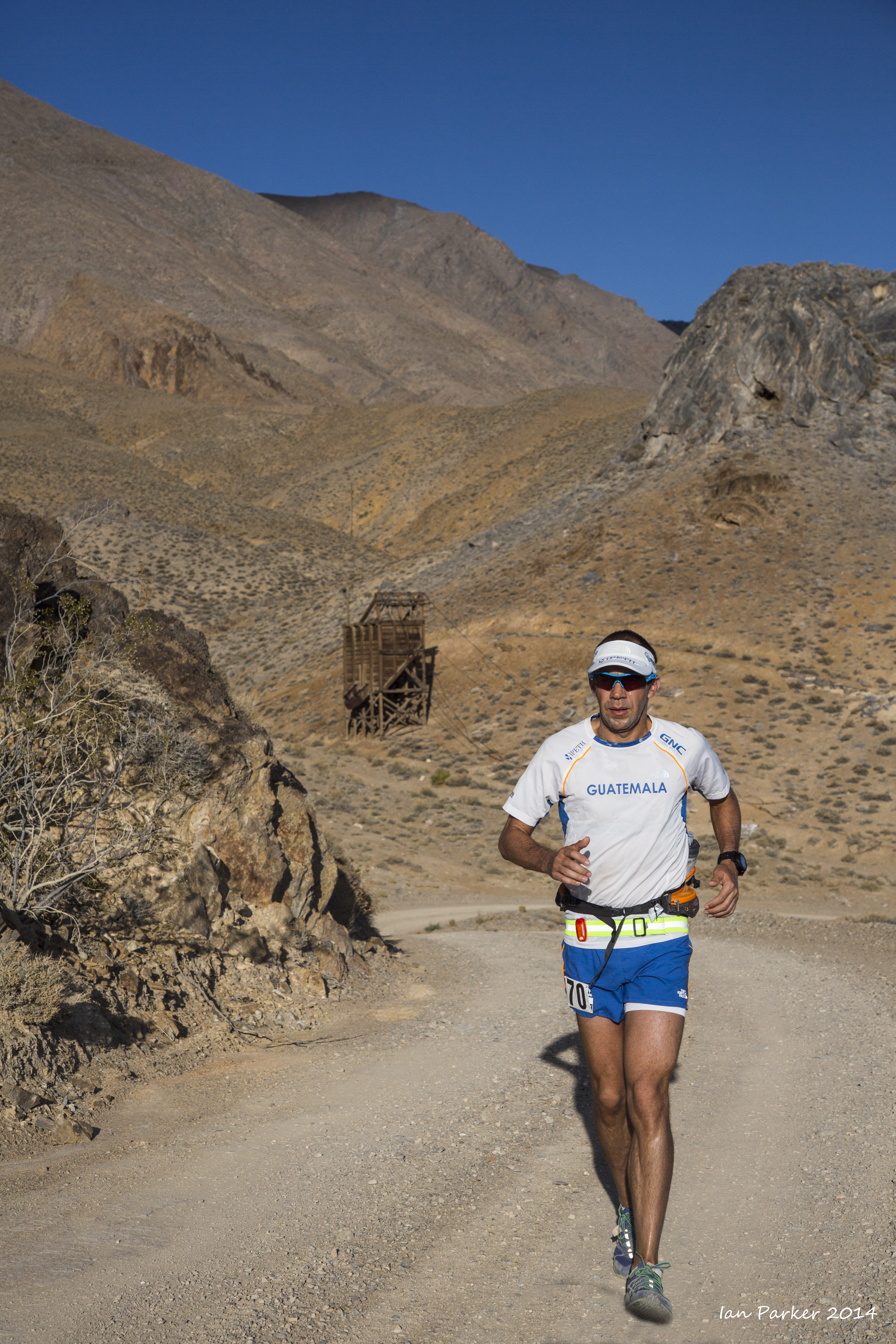
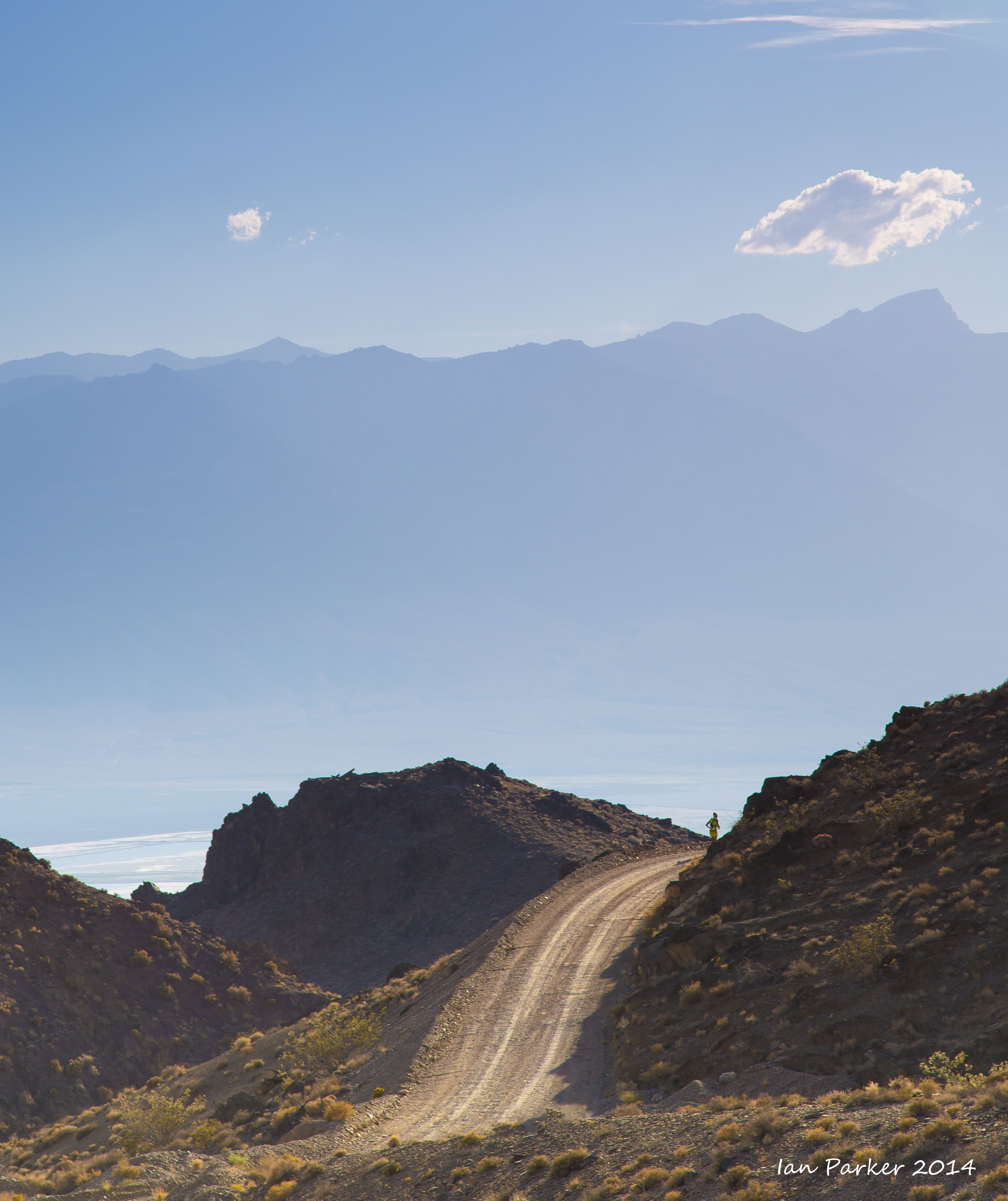
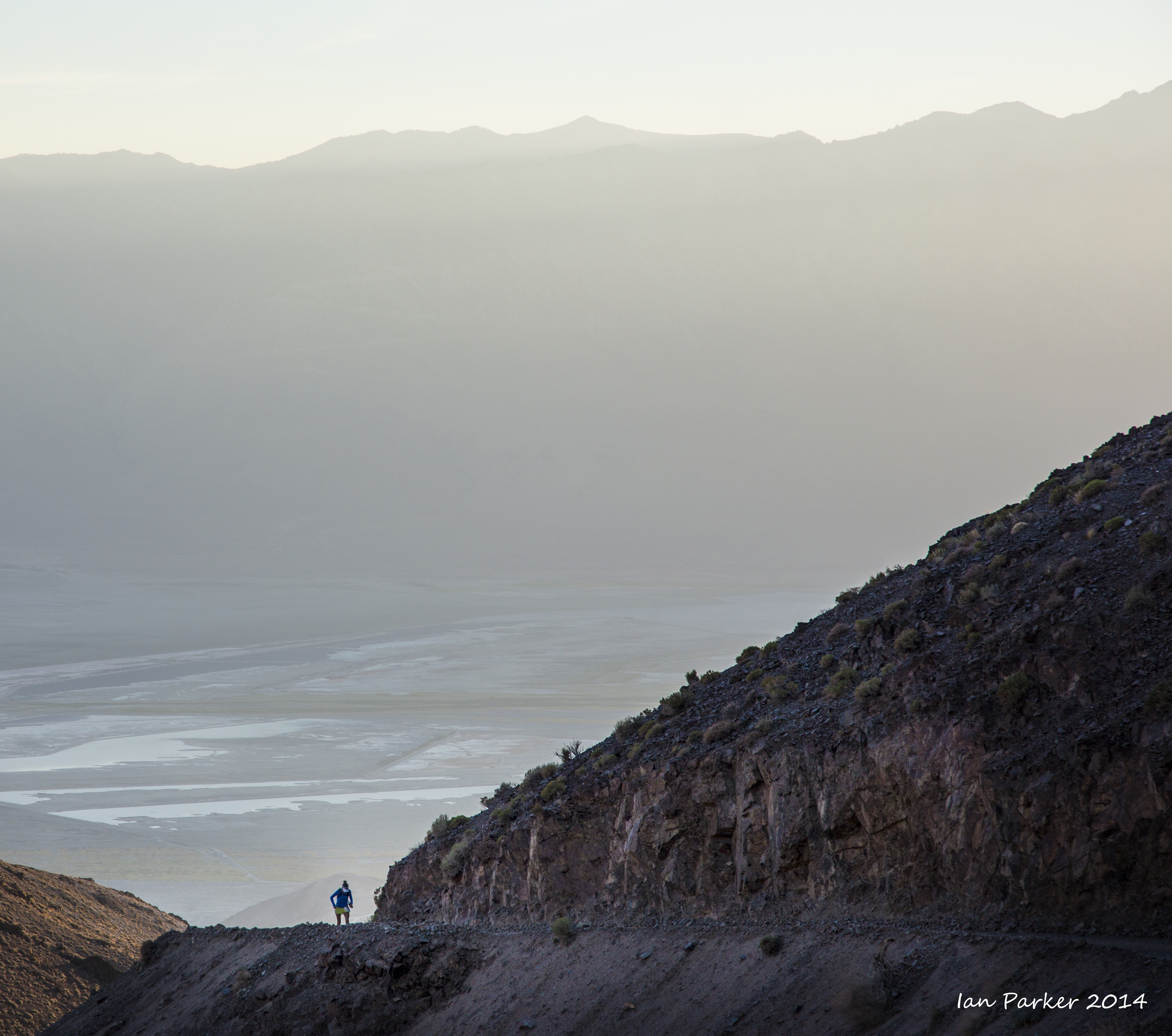
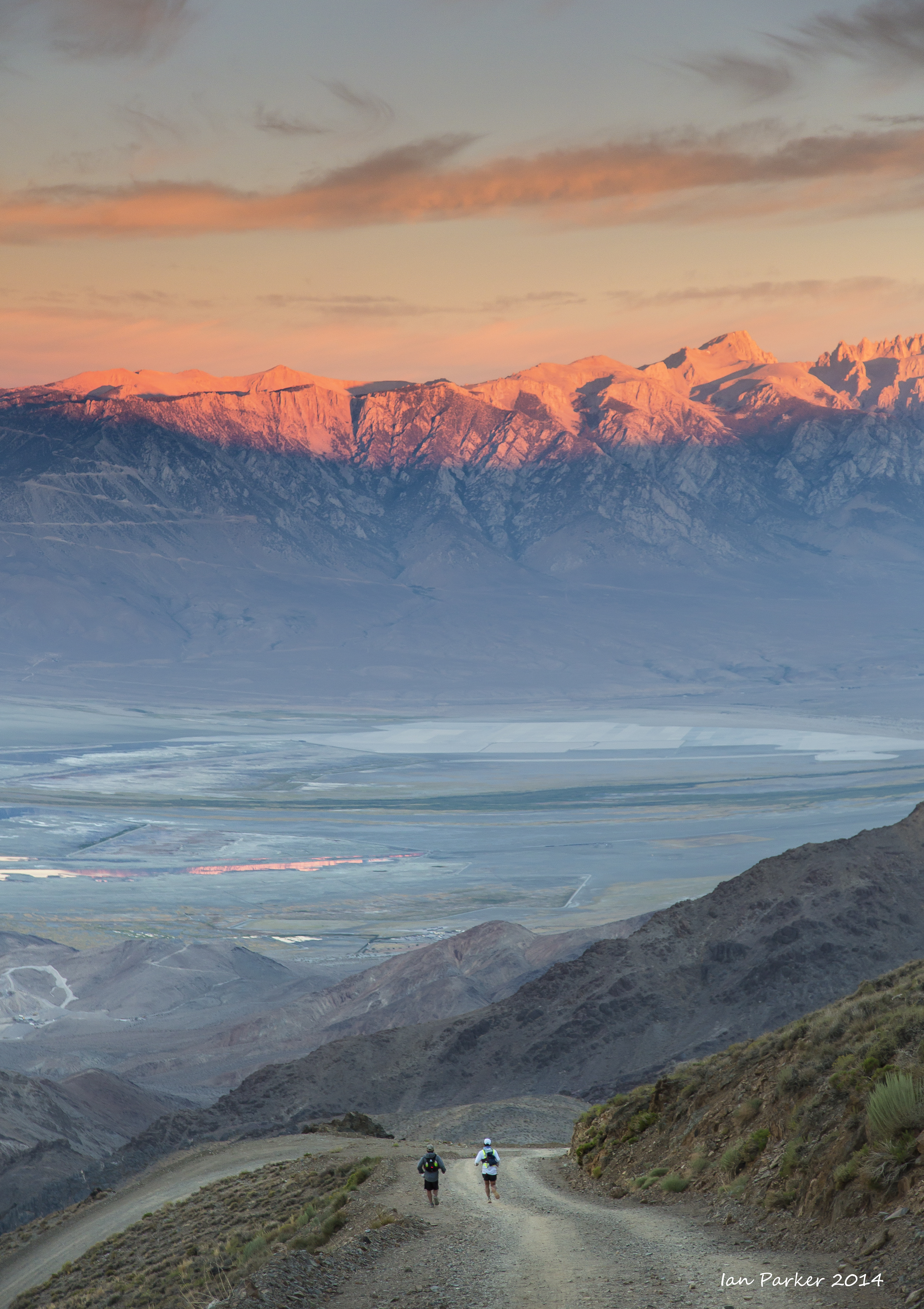
Beyond the water station at mile 67 the road exits the canyon, opening up wide vistas across the valley to the Sierras. But only the lead runners reached here before sunset.
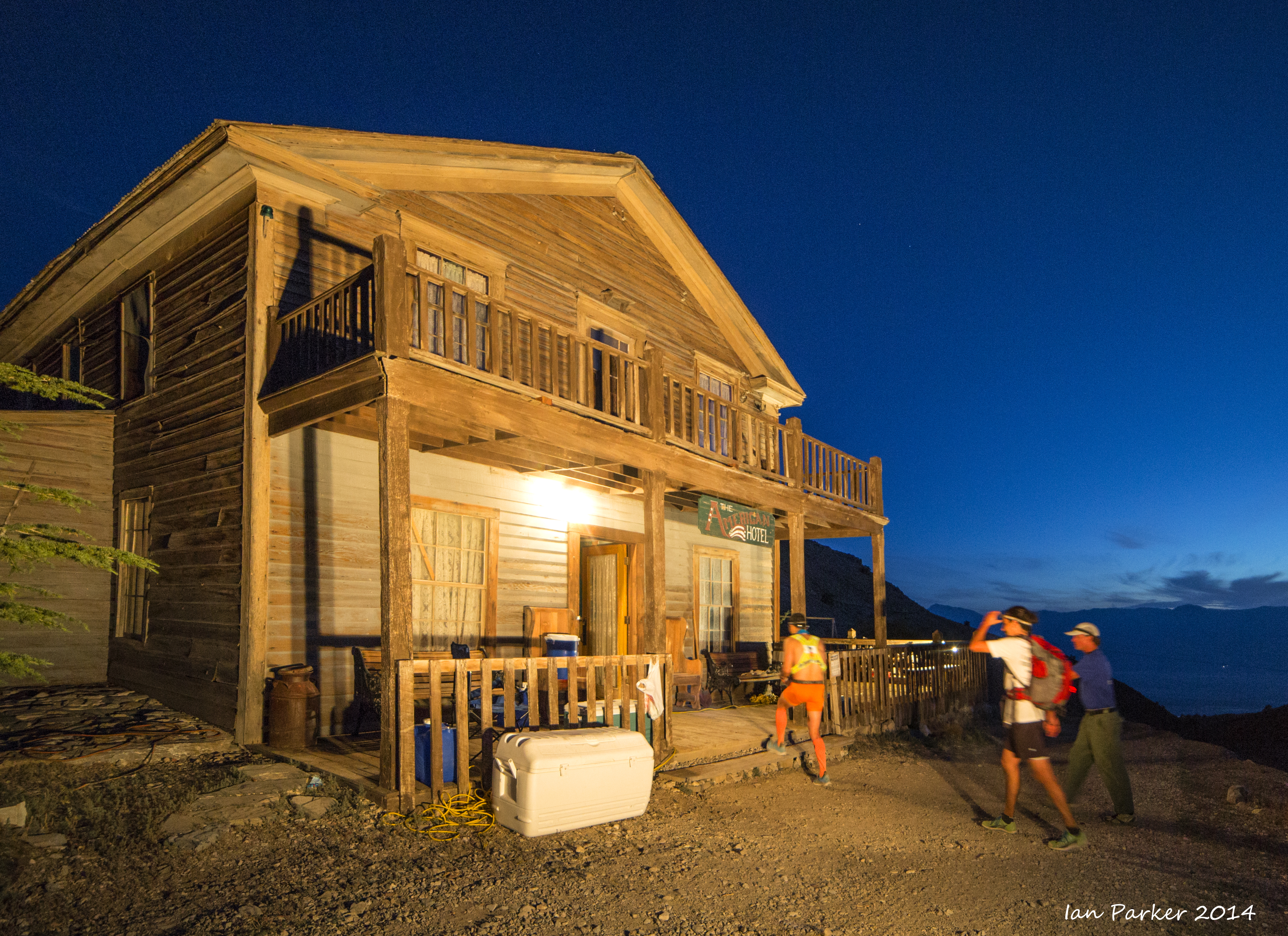
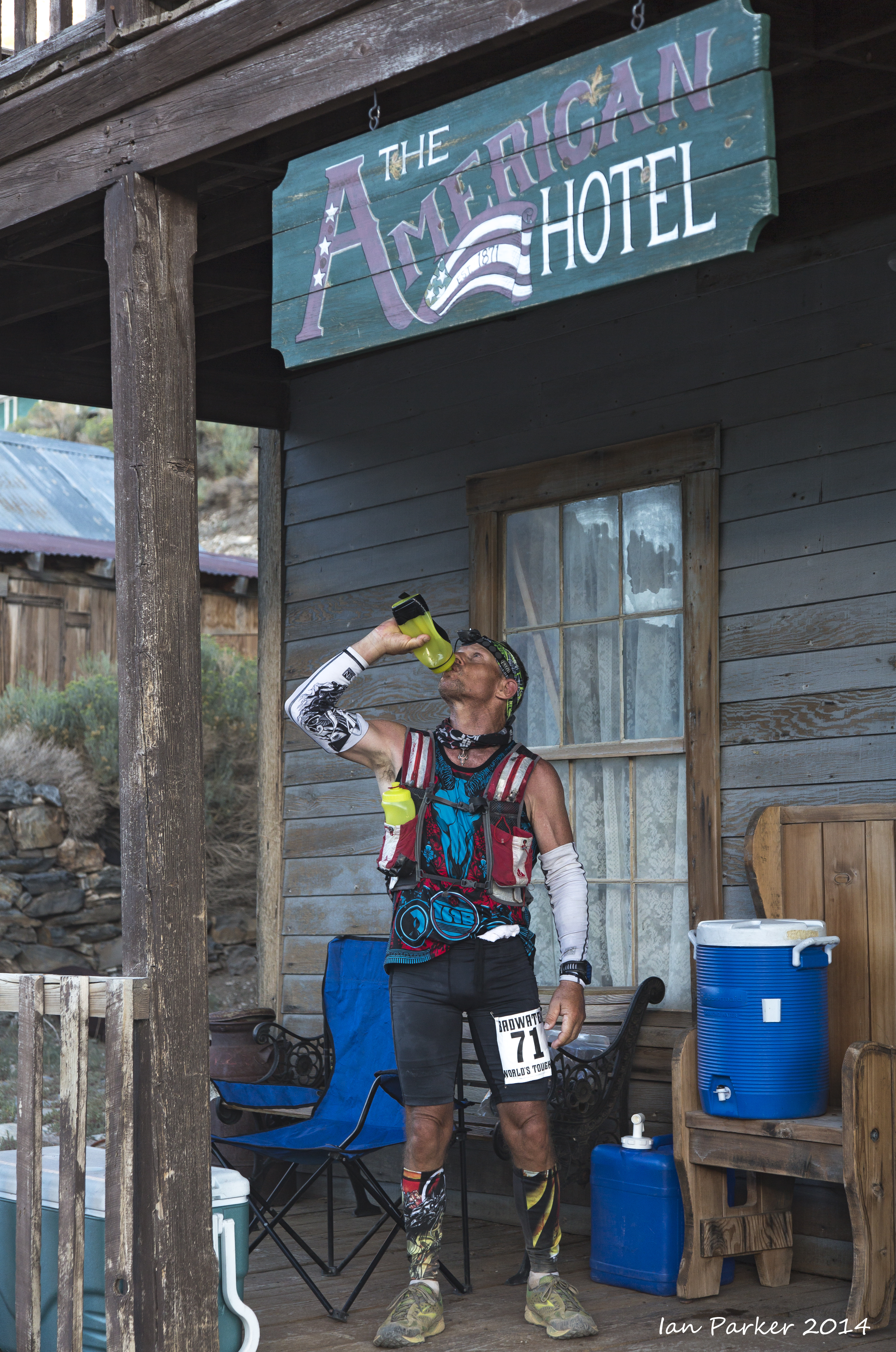
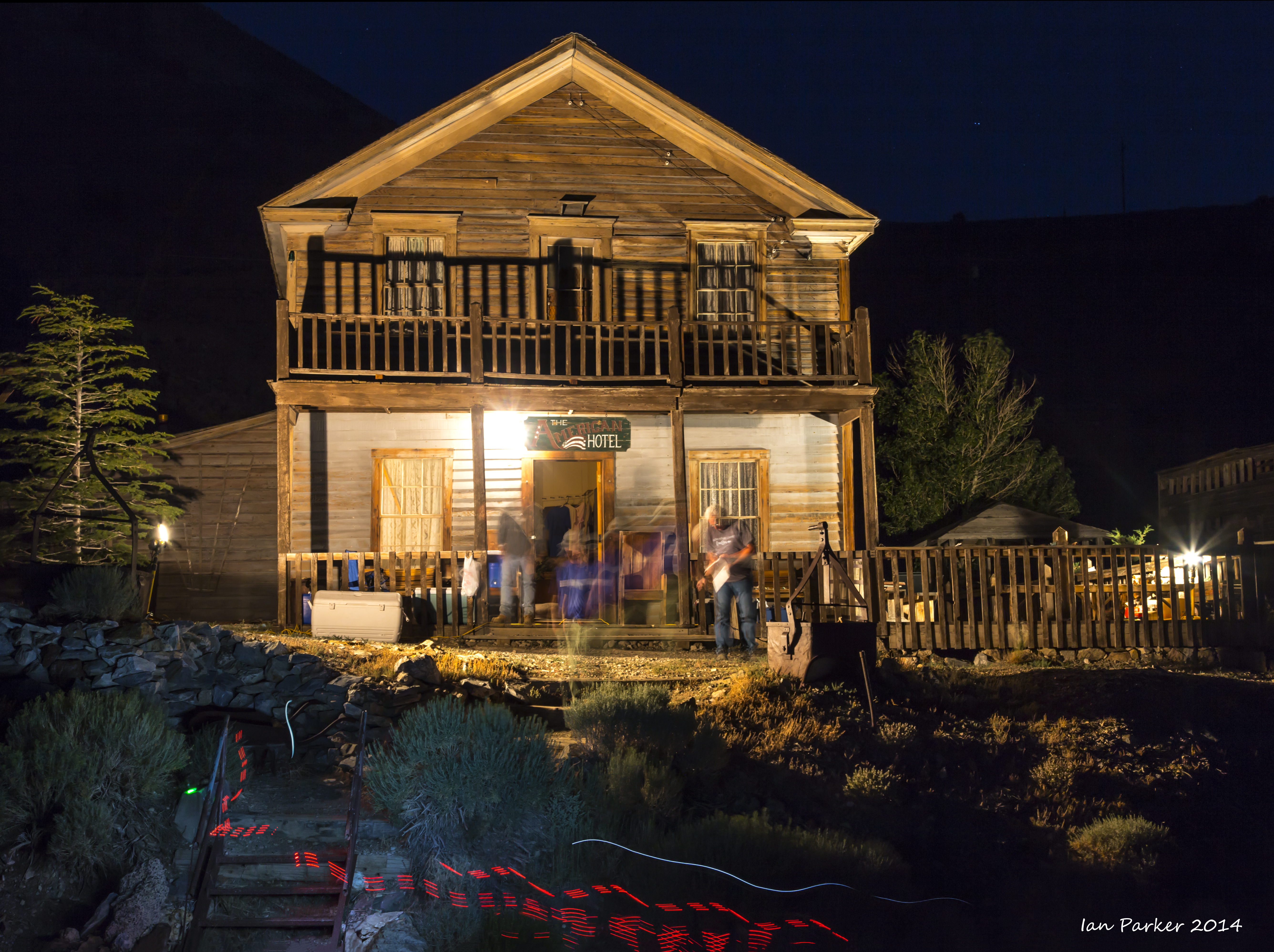
The historic American Hotel in Cerro Gordo served as a time station and turnaround point. Most runners arrived here during the night and saw little of the ghost town, but the floodlit hotel must have been a welcome sight during the final, steep ascent.
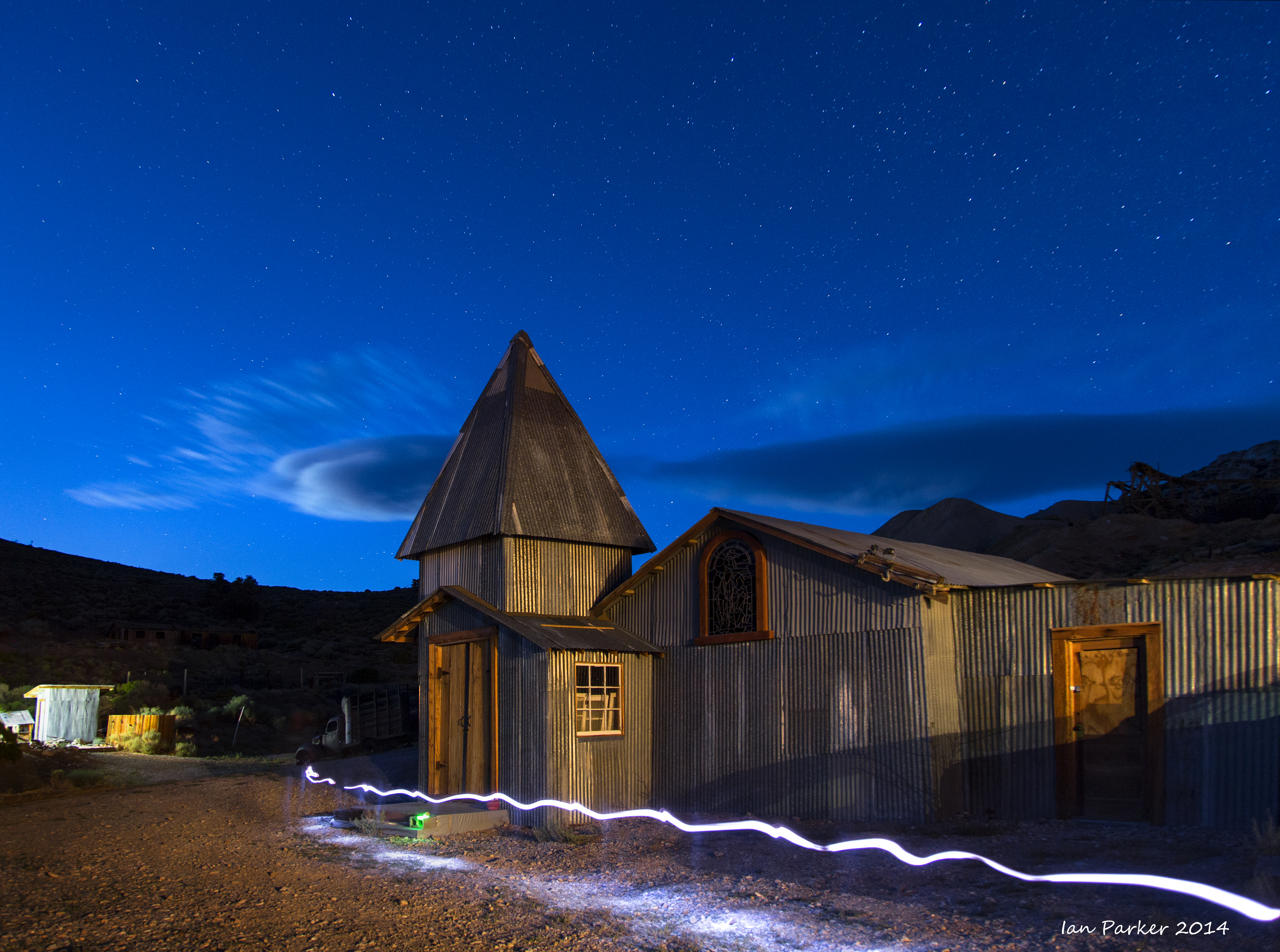
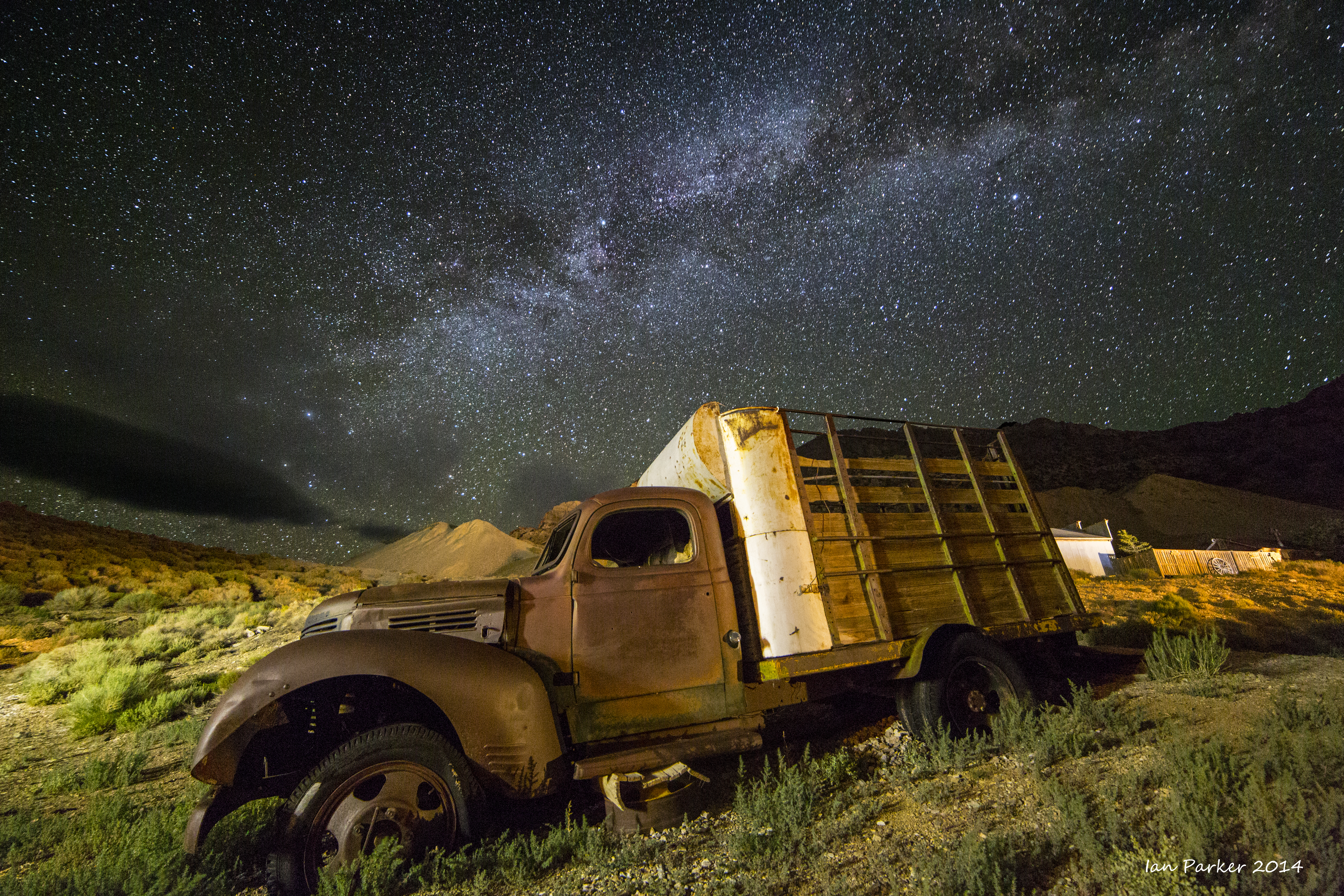
Stray light from the floodlit American Hotel gave an opportunity for long-exposure shots of abandoned buildings and machinery in Cerro Gordo, balancing as the the blue light of twilight faded to allow the Milky Way to shine through.
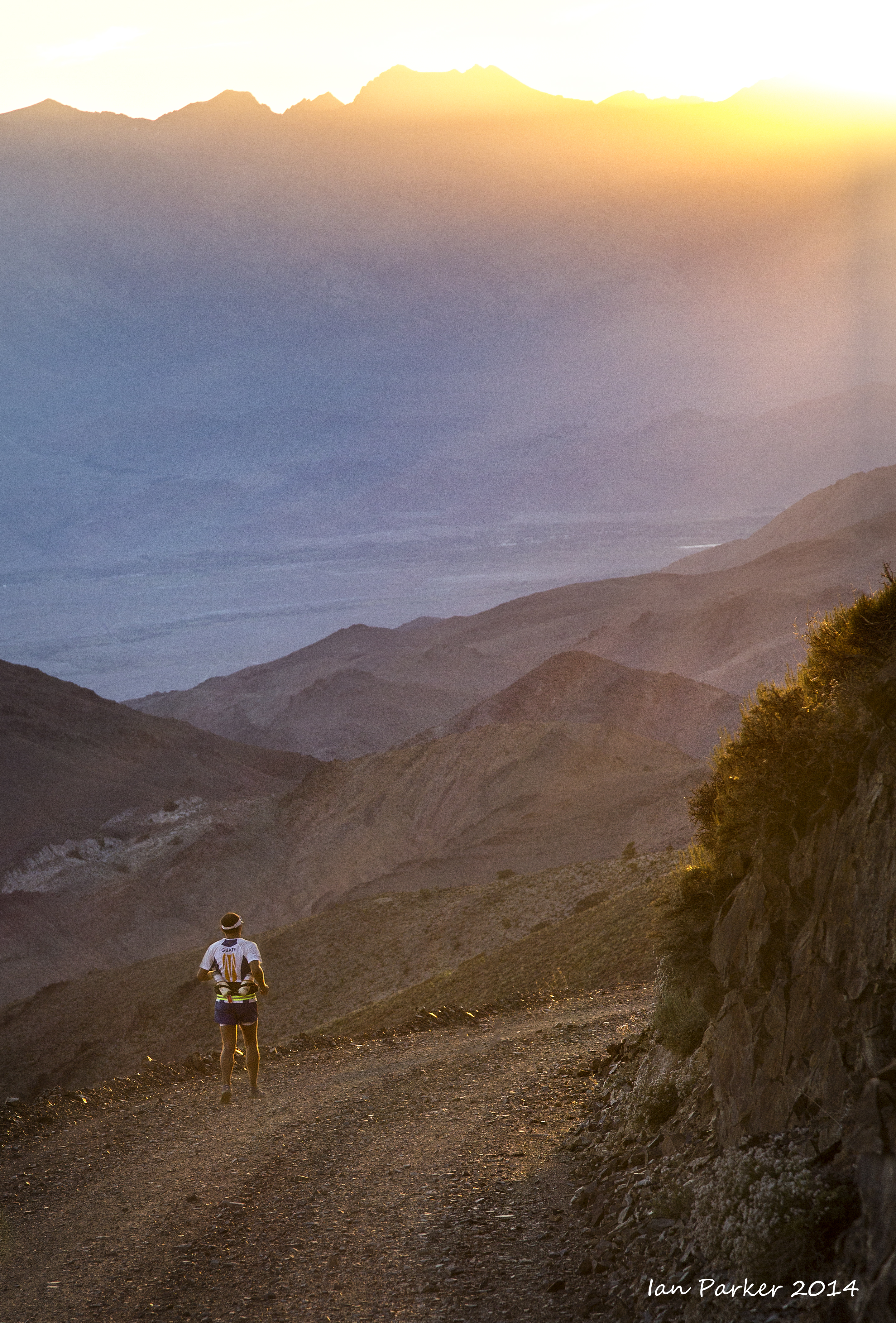
The last runners reached Cerro Gordo at dawn after about 24 hrs
of continuous running and walking: only half-way to the finish line yet the lead runner had already finished.
June 28th - July 6th, 2014
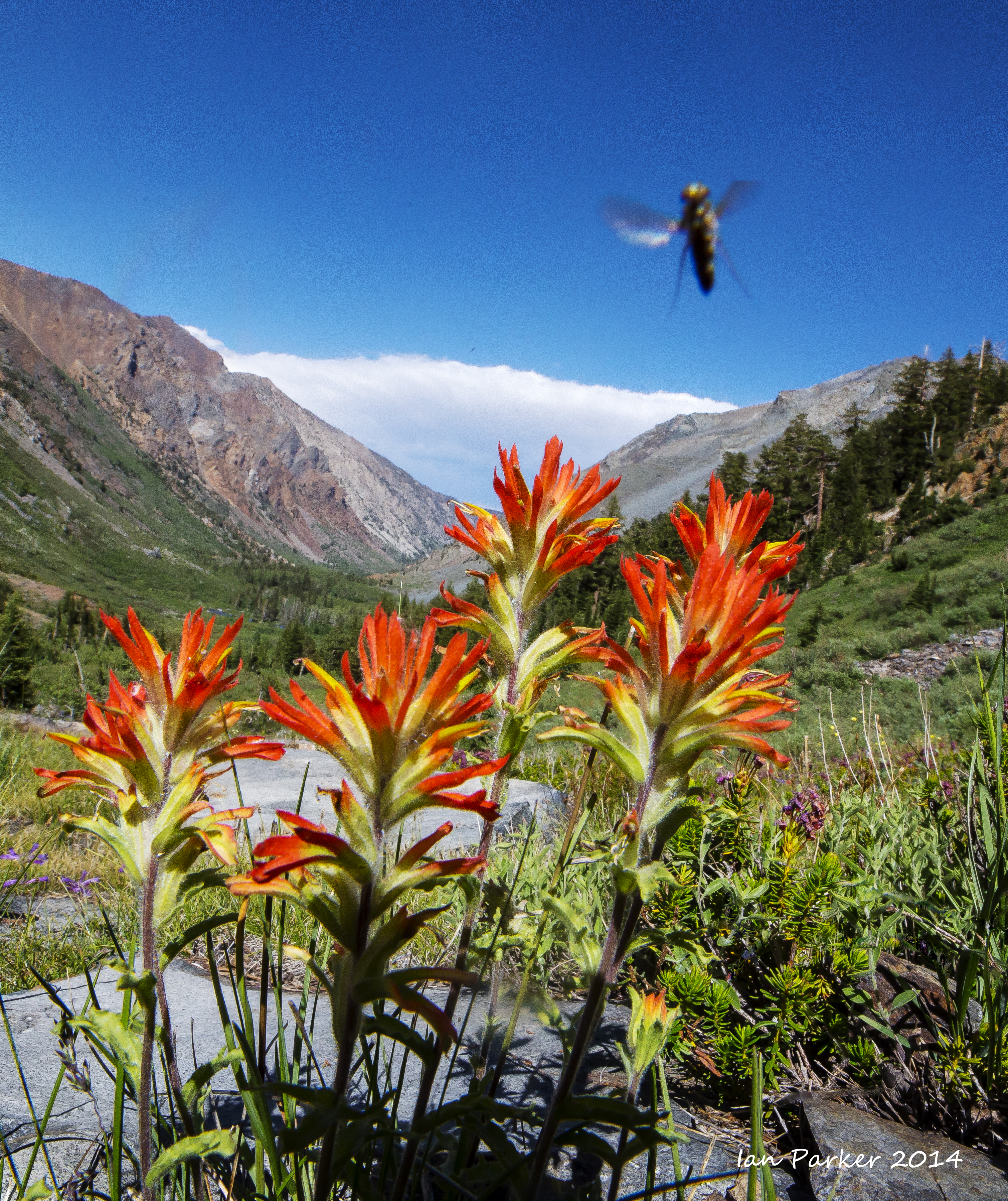
A weeklong trip along highway 395, taking in the Alabama Hills, Bishop petroglyph and bristlecone pines, but mostly based at Mono Lake. The new moon was just a few days old, so I planned to do some night photography of the Milky Way under good dark-sky conditions.
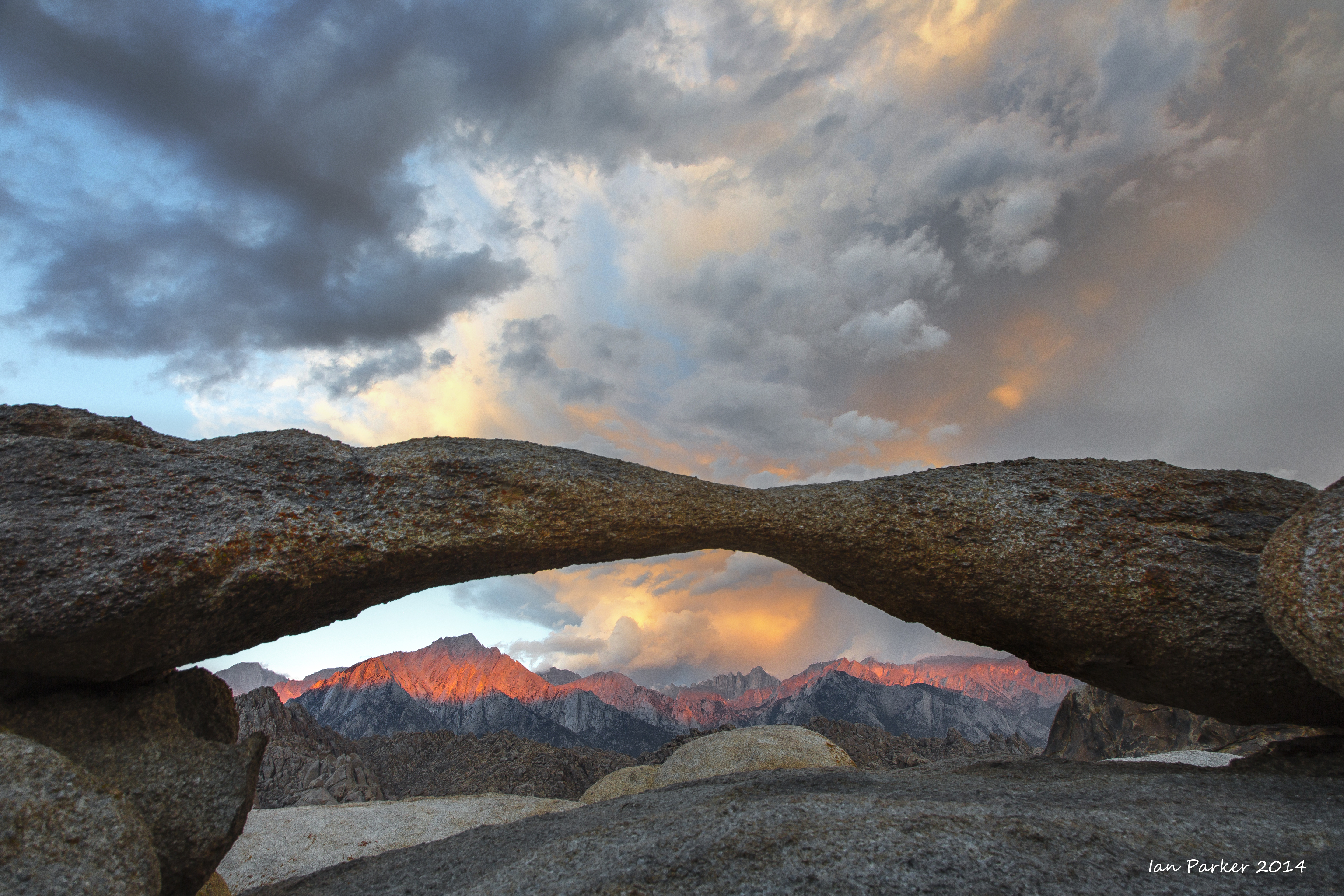
An overnight stay in the Alabama Hills
My first afternoon at Mono Lake was enlivened by dramatic thunder clouds spreading across the valley from the Sierras.
Toward evening the clouds began to clear from the West, yielding a spectacular sunsett opportunities for nighttime photography.
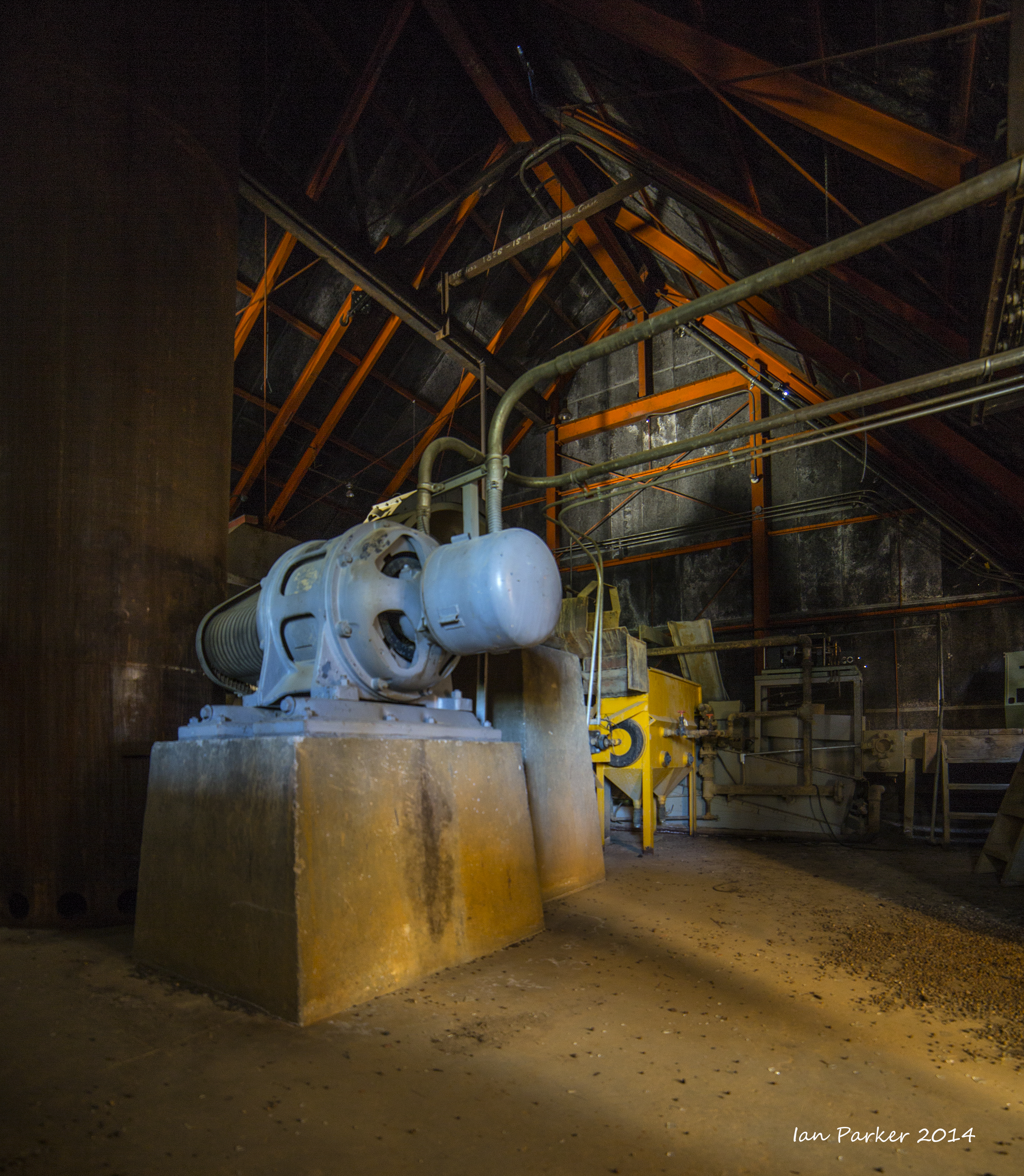
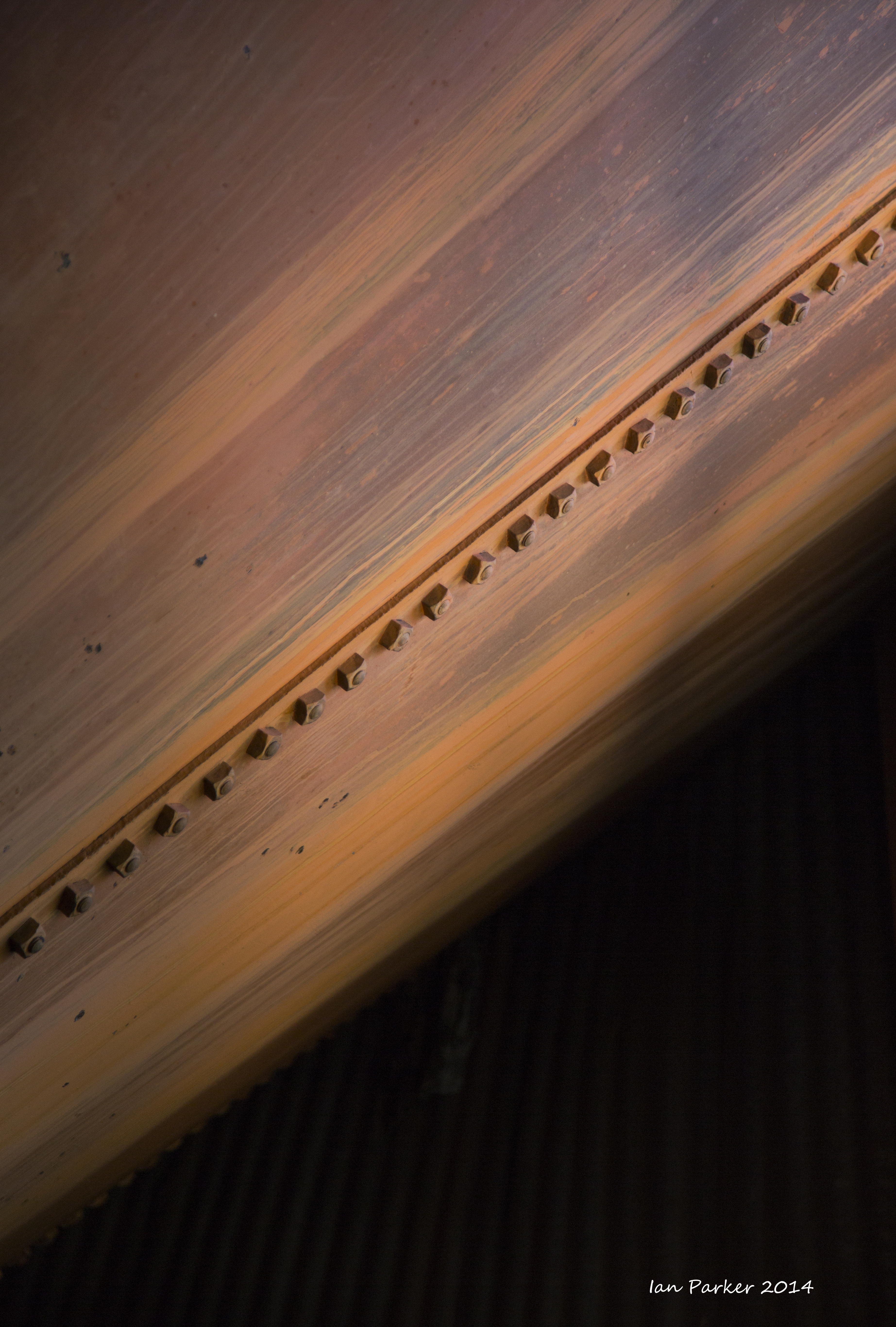
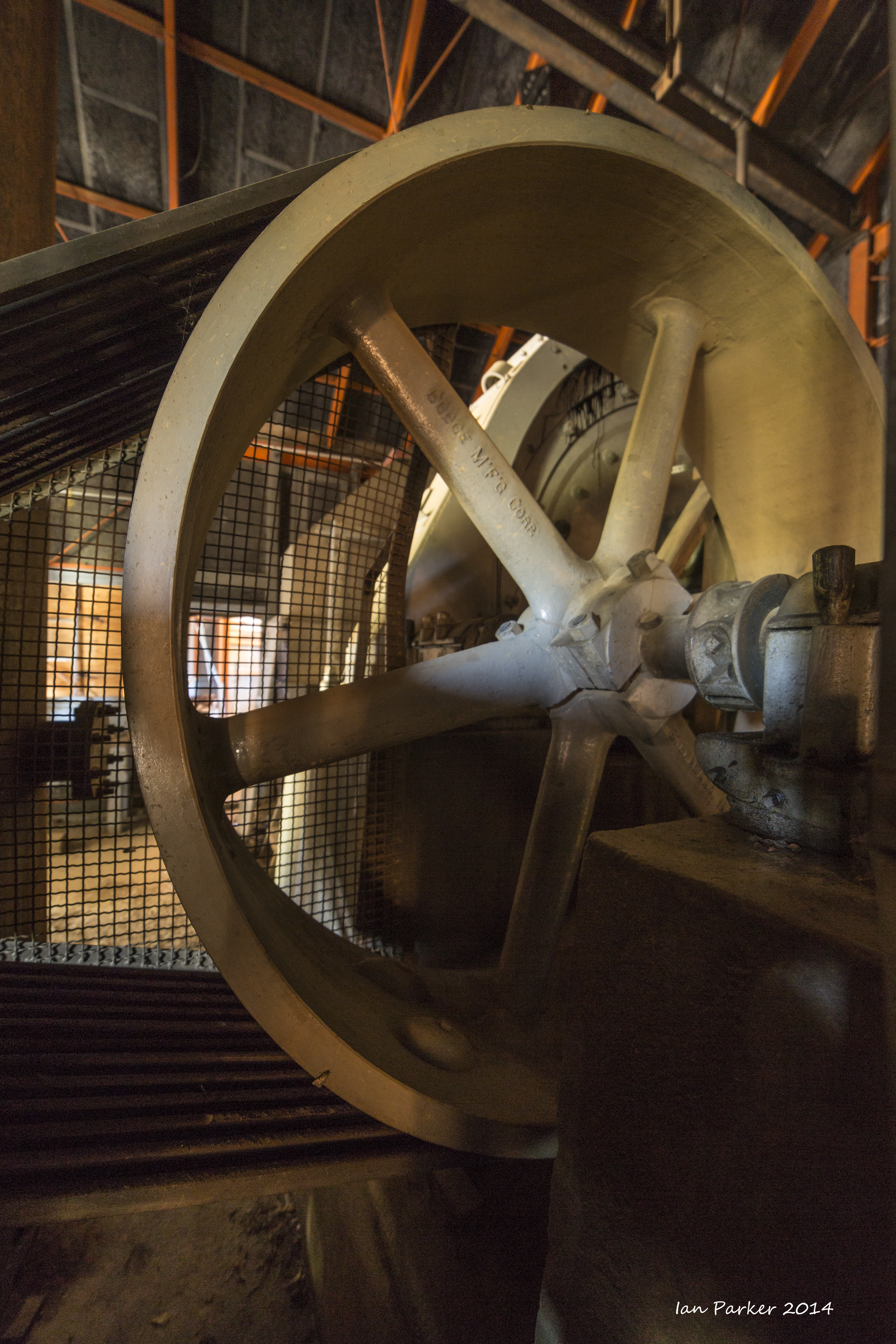
A rough dirt road heads steeply uphill from Lee Vining canyon, toward the abandoned Log Cabin gold/silver mine high above Mono Lake. A cold night at 10,000 ft
was rewarded by a nice image of the Milky Way arcing above the lake, and then some industrial archeaology shots of machinery in the processing mill.
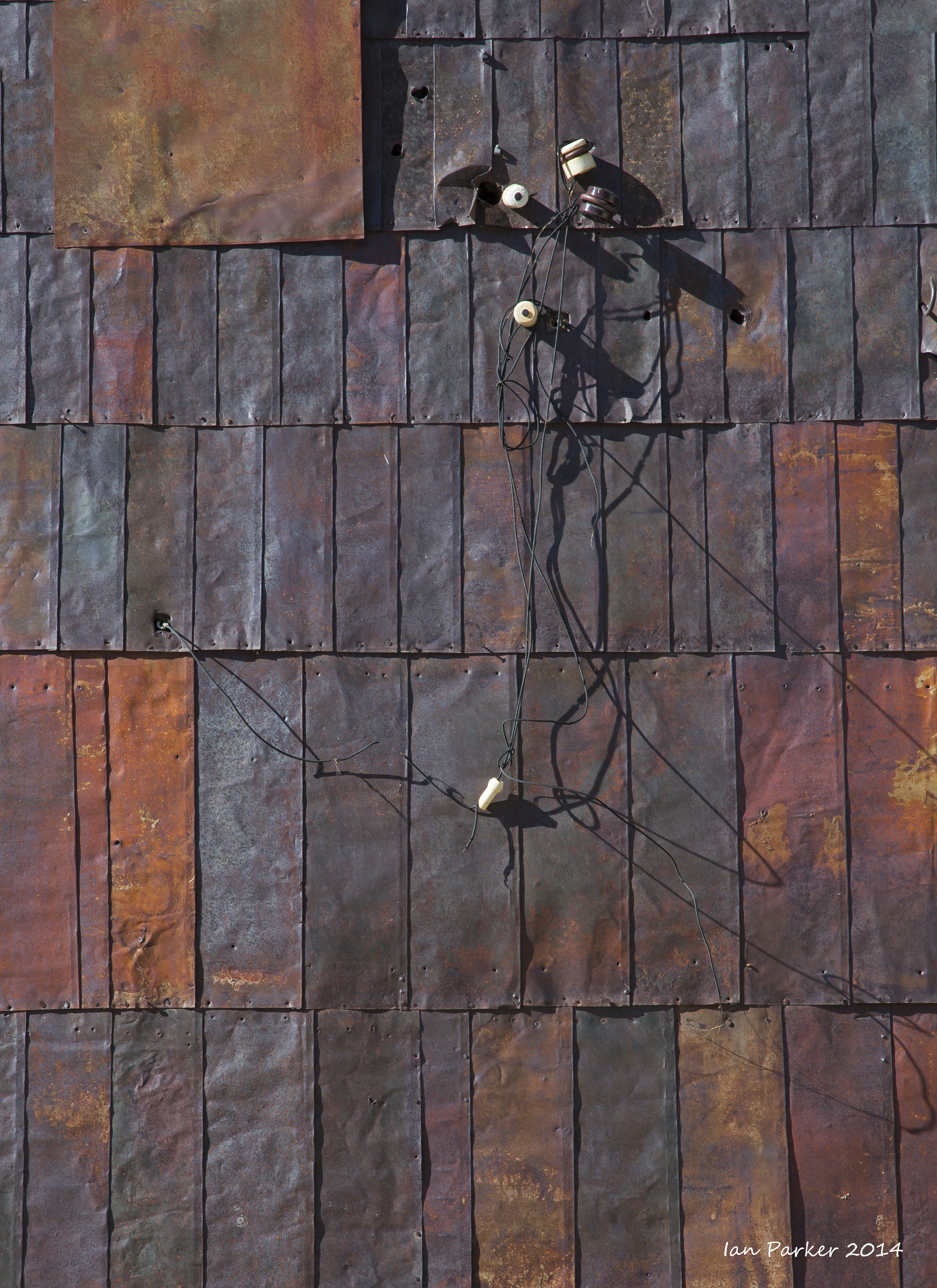
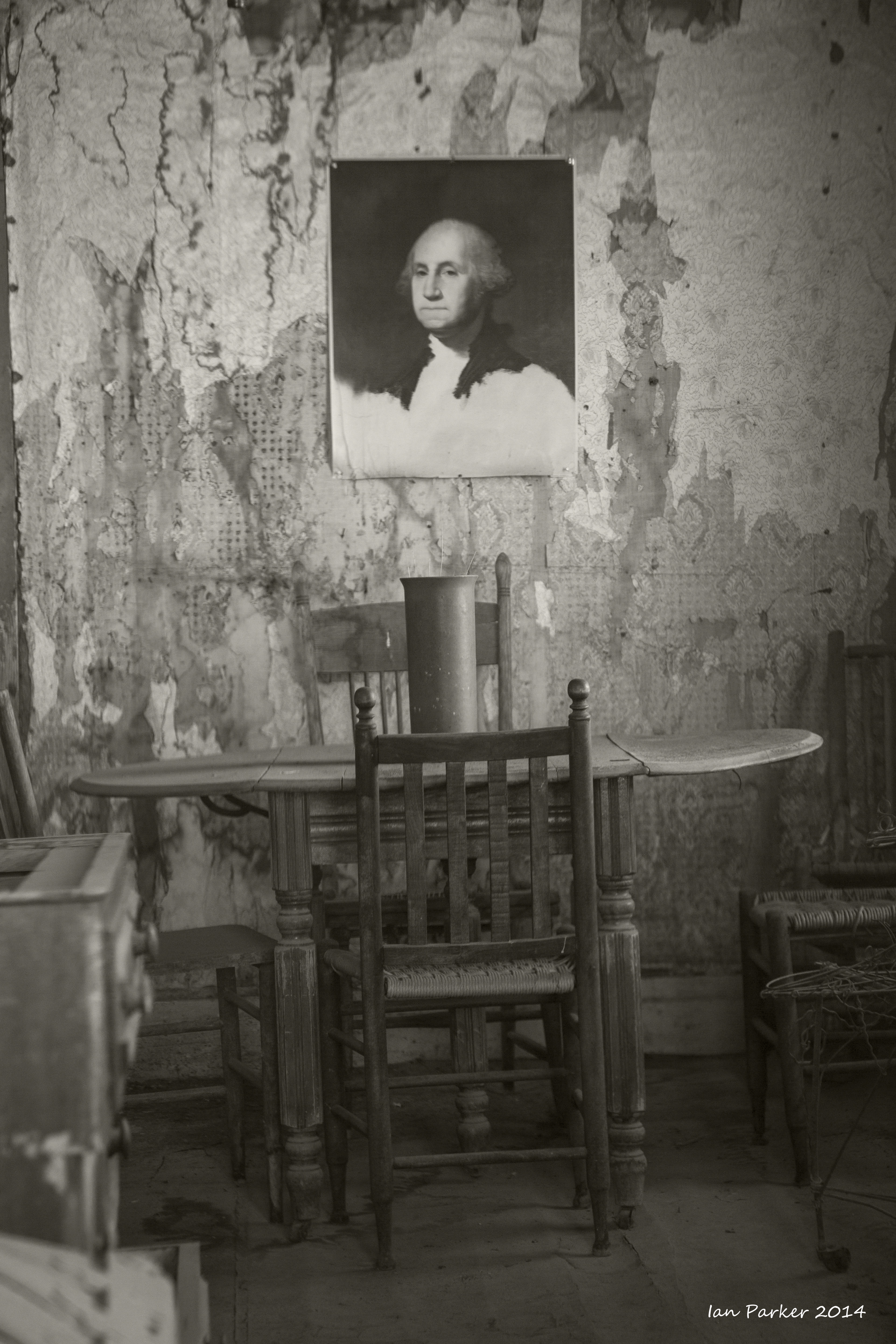
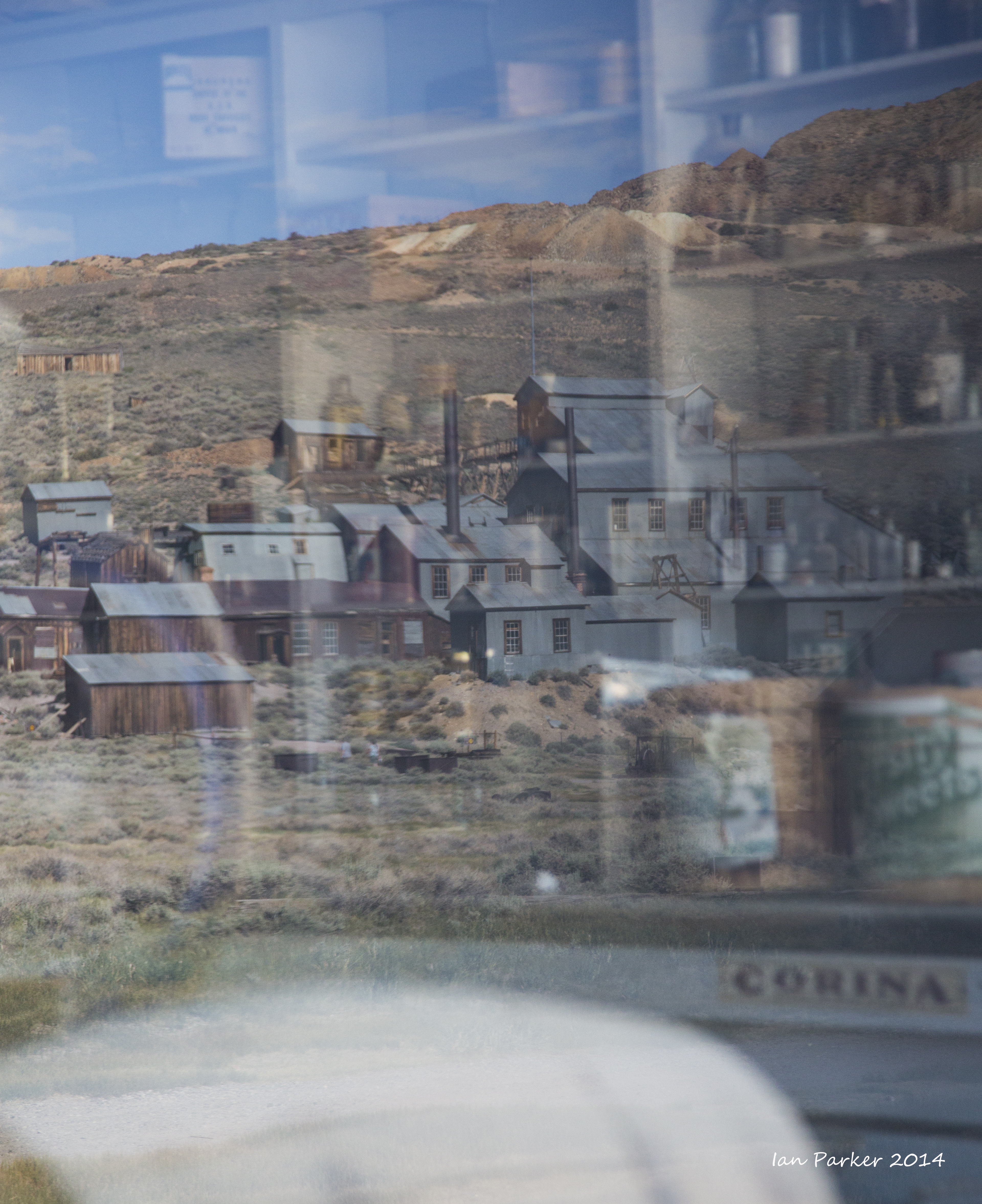
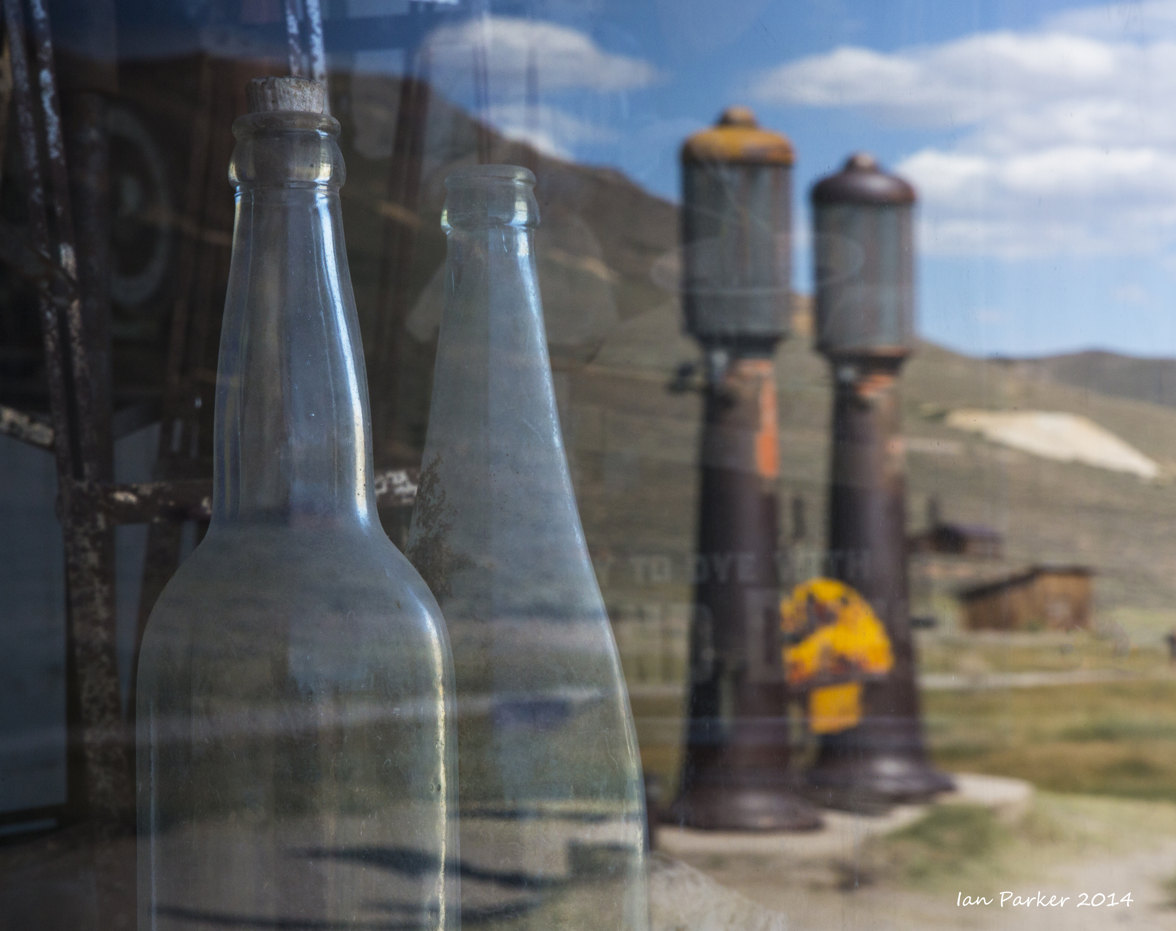
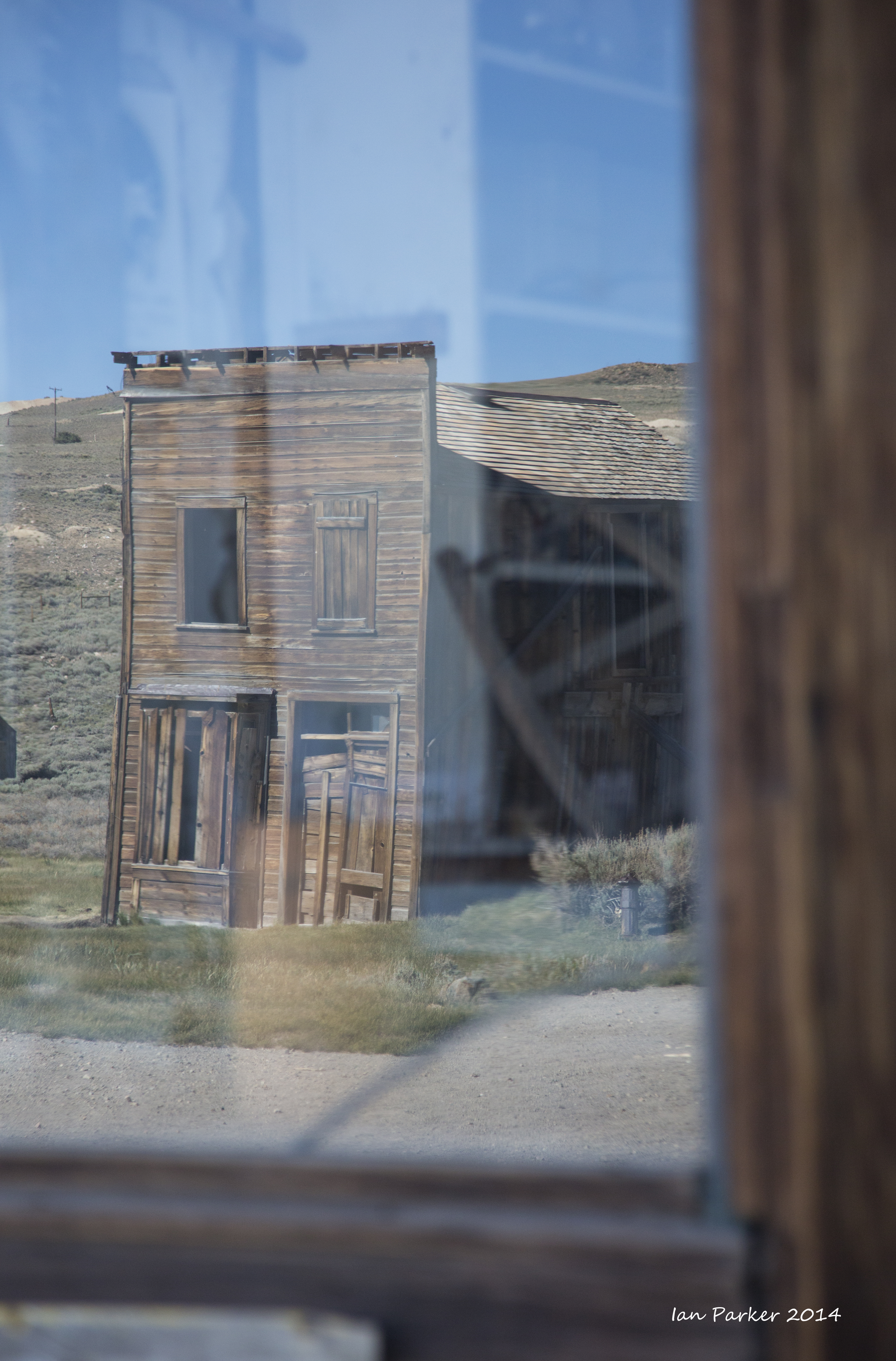
Day trips to Lundy Canyon and Bodie
Back to Mono Lake.
A gaggle of geese swam in a line each evening across the lake, and feasted on alkali flies and grasses.
And tens of thousands of Wilson's phalaropes were filling up on alkali flies to fuel their incredible journey to the Andean salt lakes
While violet-green sparows flew among, and nested in the tufa towers.
Some Mono Lake scenics at dawn
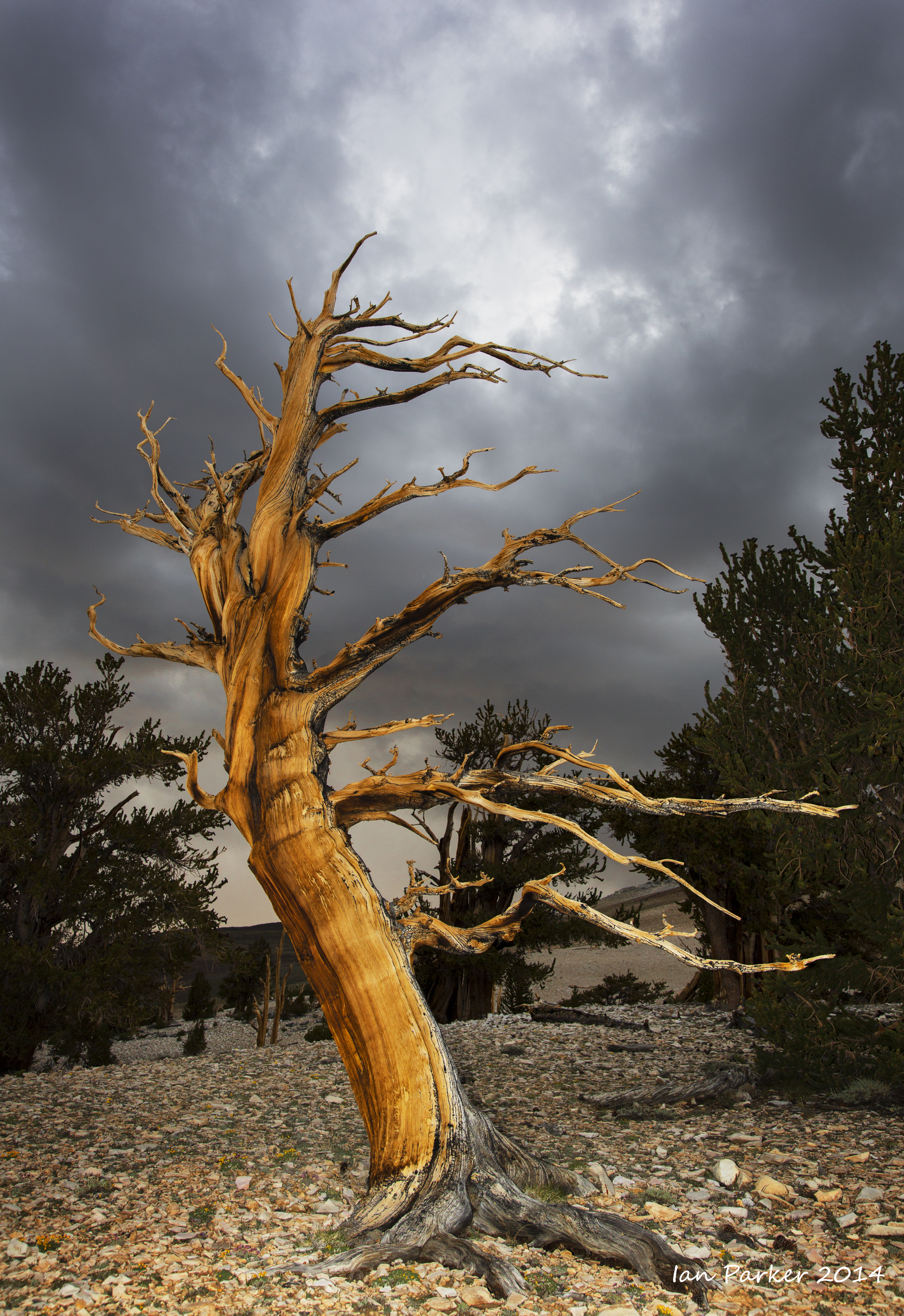
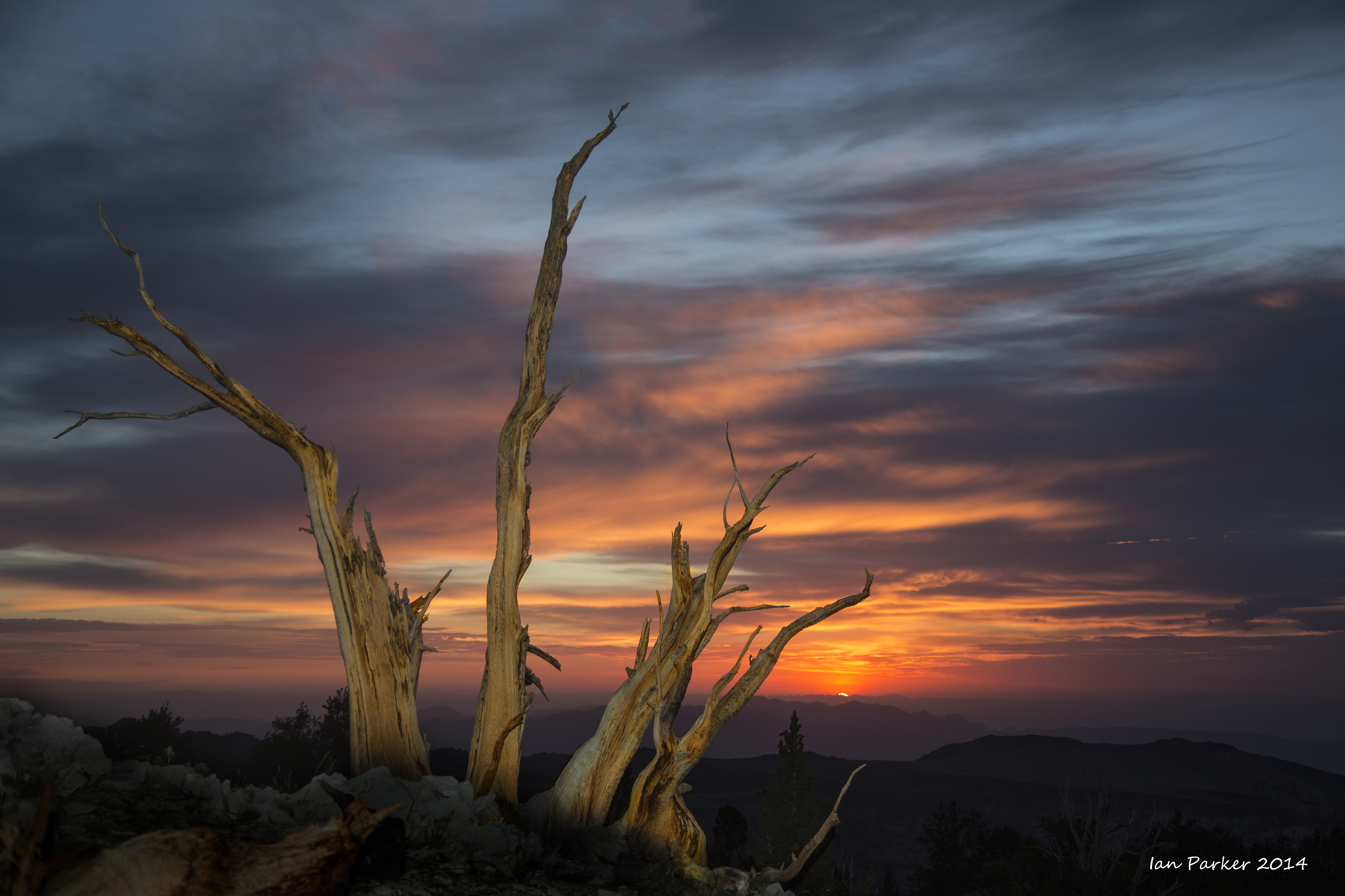
And finally a drive up Silver Canyon into a thunderstorm engulfing the bristlecone pines on top of the White Mountains. Altitude acclimation gained over the preceding week gave me a much more pleasant night camped up at Patriarch Grove than when I ascend directly from sea level.
June 22nd, 2014
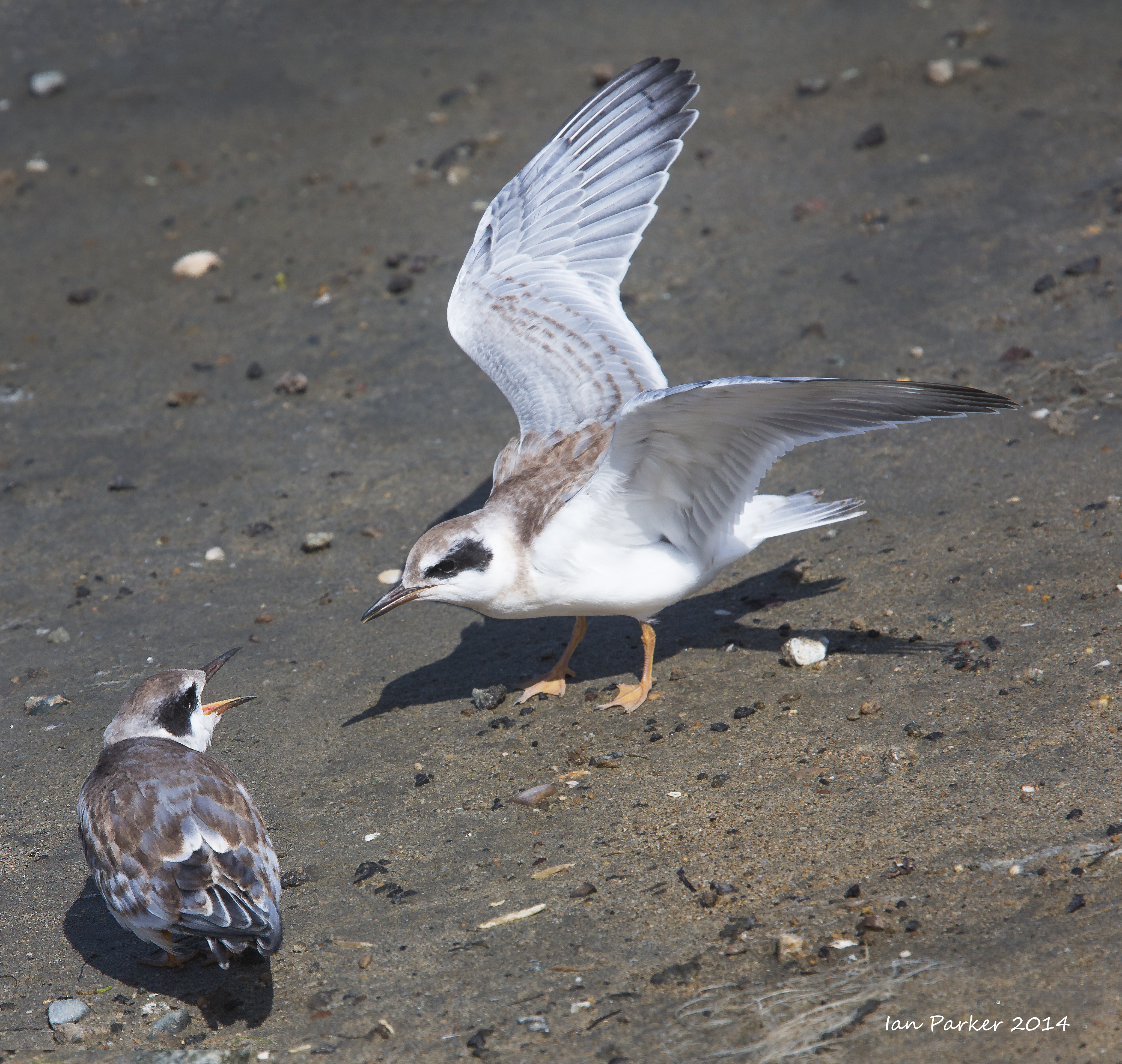
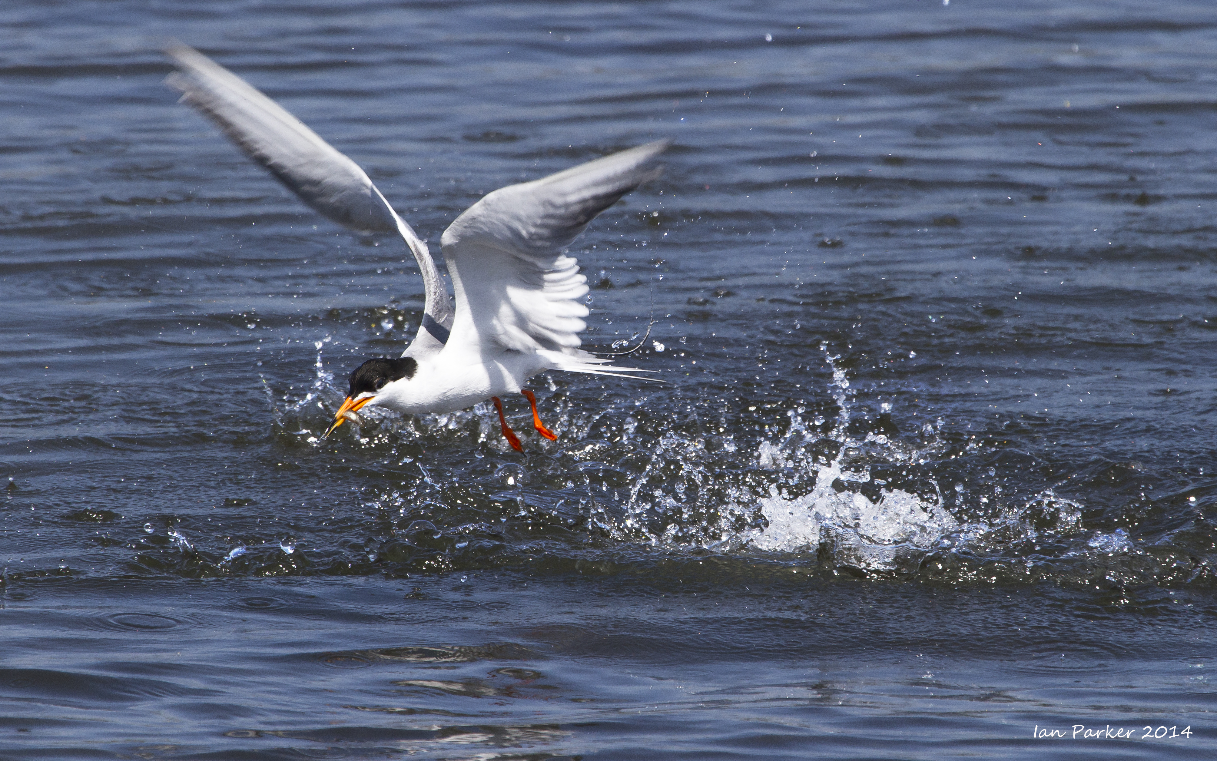
Back to Bolsa Chica for a Sunday morning. As usual for this time of year the overcast of June gloom was present at first, but by 9:00am the sky cleared. I spent nearly three hourswith a pair of young least terns who were hanging out on a small beach near the bridge. They would sometimes fly off and circle the lagoon, but always returned to the same place. Although proficient in the air, they were not yet feeding themselves, and mom would stop by with a fish. Despite several attempts I never managed to get a decent shot this; the only time I had a good angle, the camera focused on the vegetation to the side, not on the birds.
June 1st, 2014
Mornings had been grey for a couple of weeks, with the marine layer not burning off until near lunchtime. But the forecast looked better for Sunday morning, and a few patches of blue at 6:30am provided enough incentive for me to head down to Bolsa Chica.
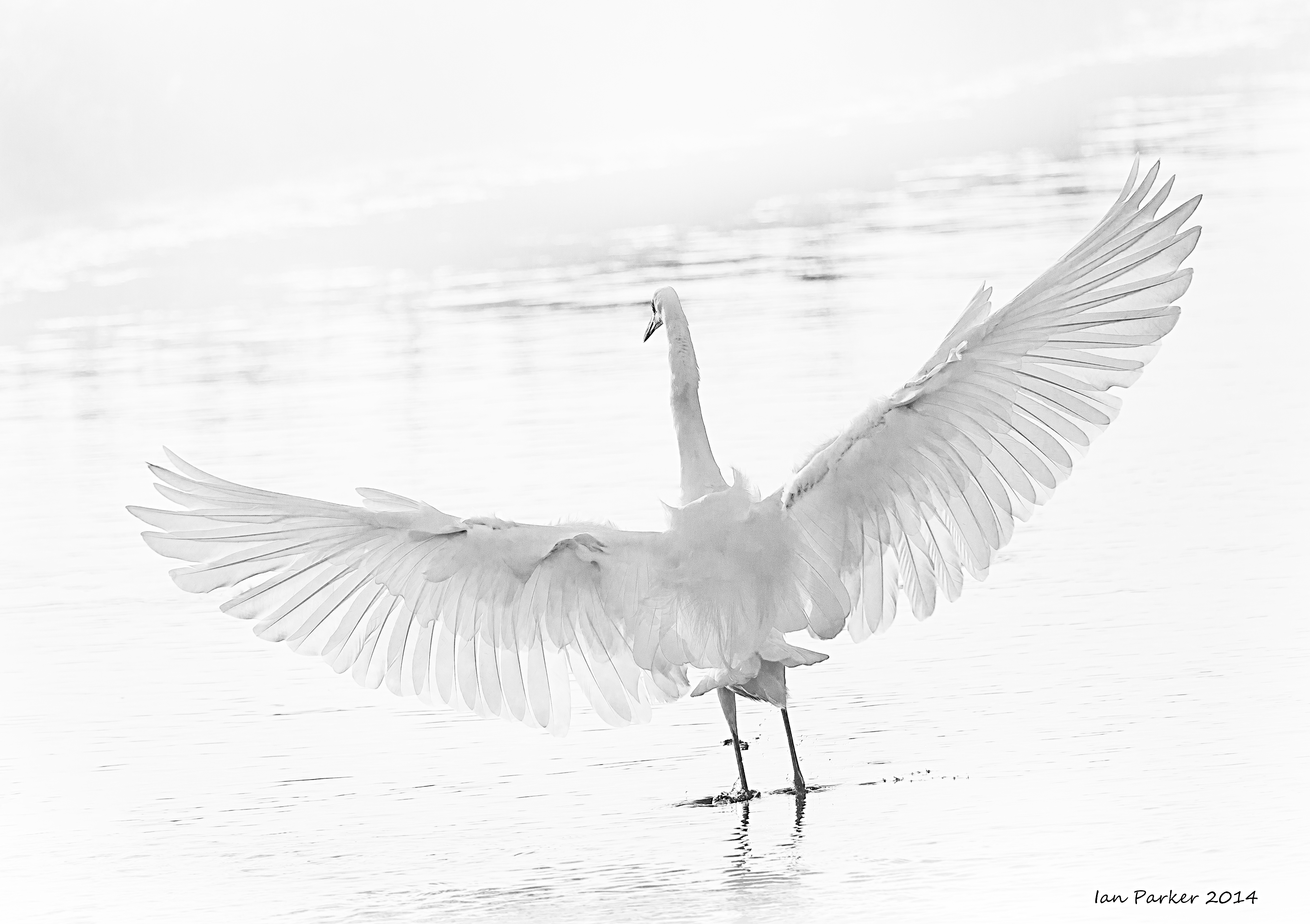
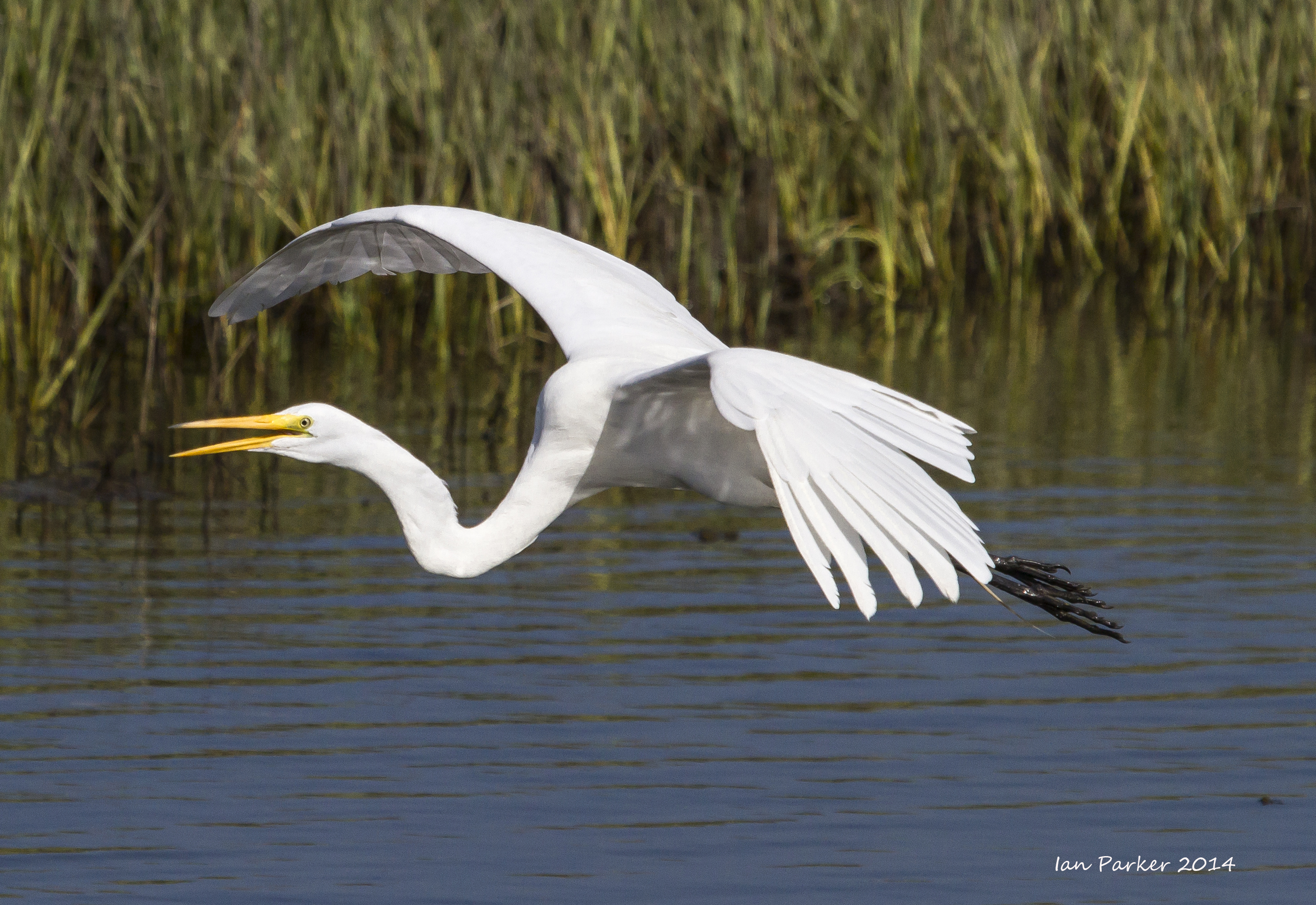
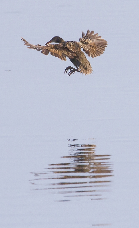
The egrets, as always, were elegant.
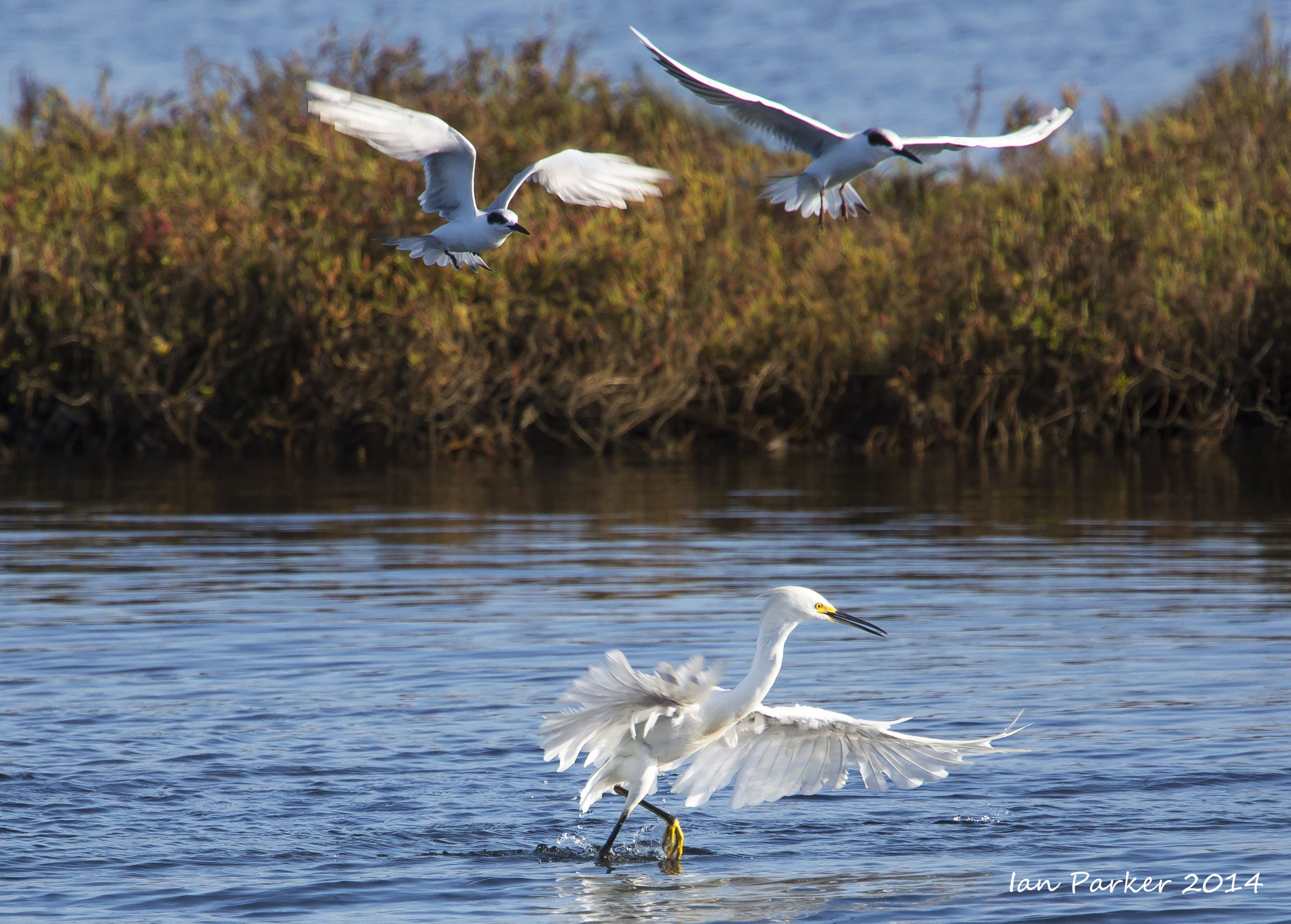
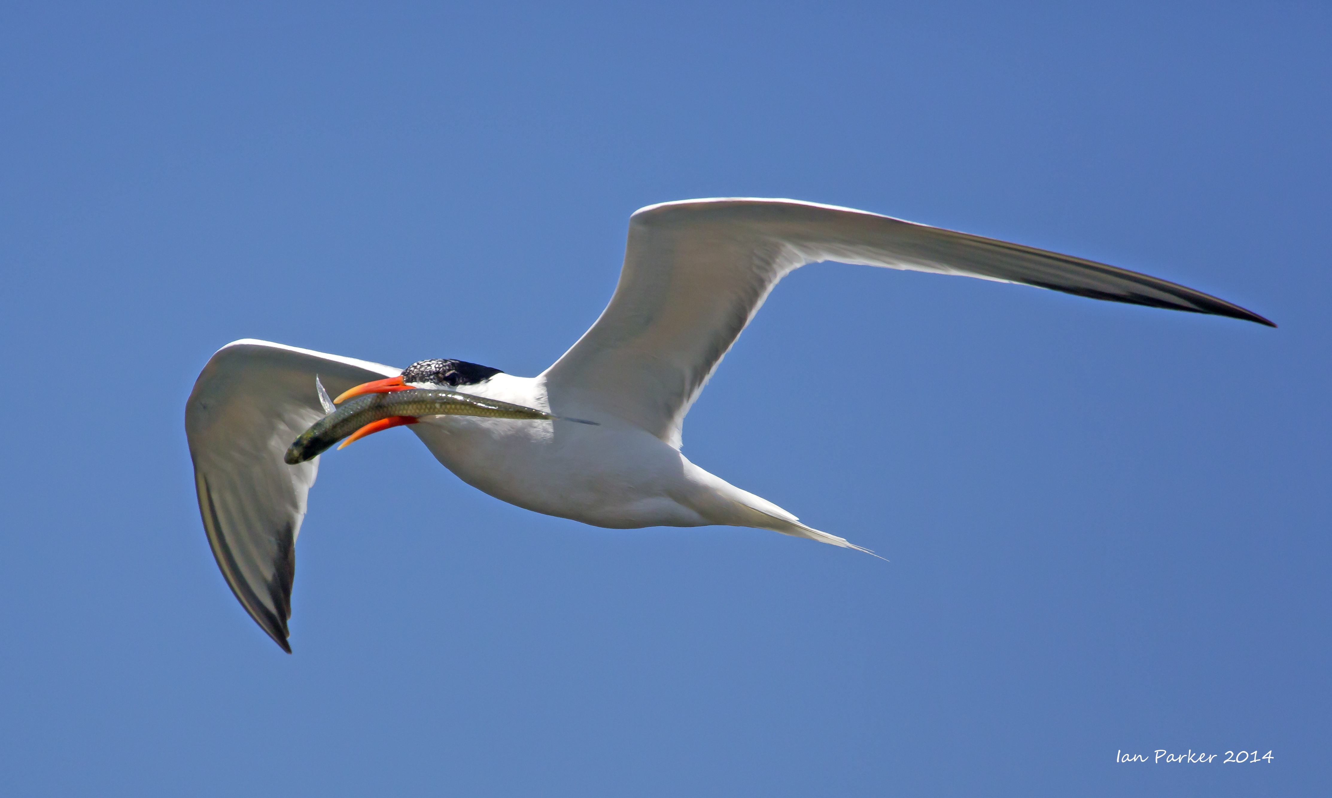
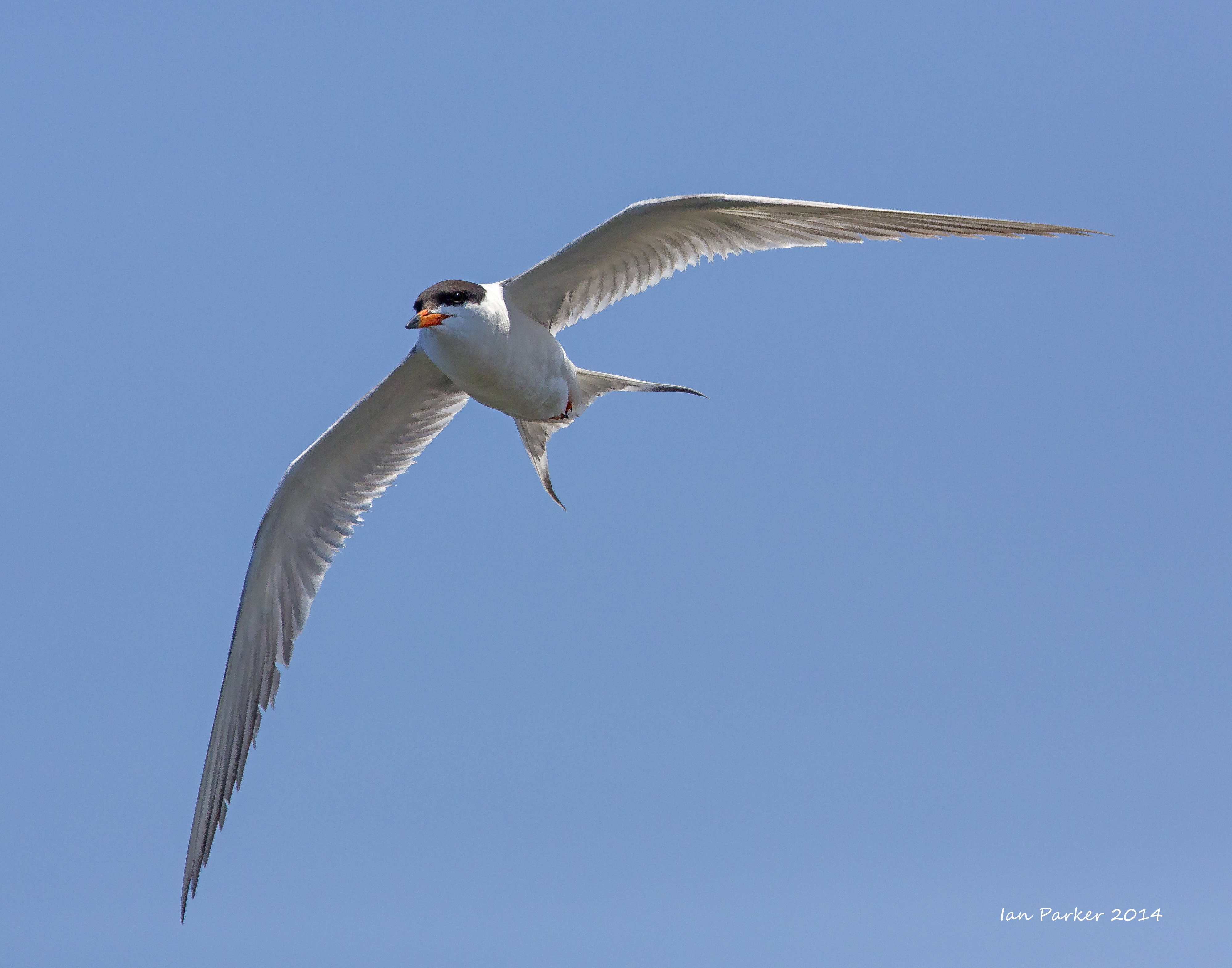
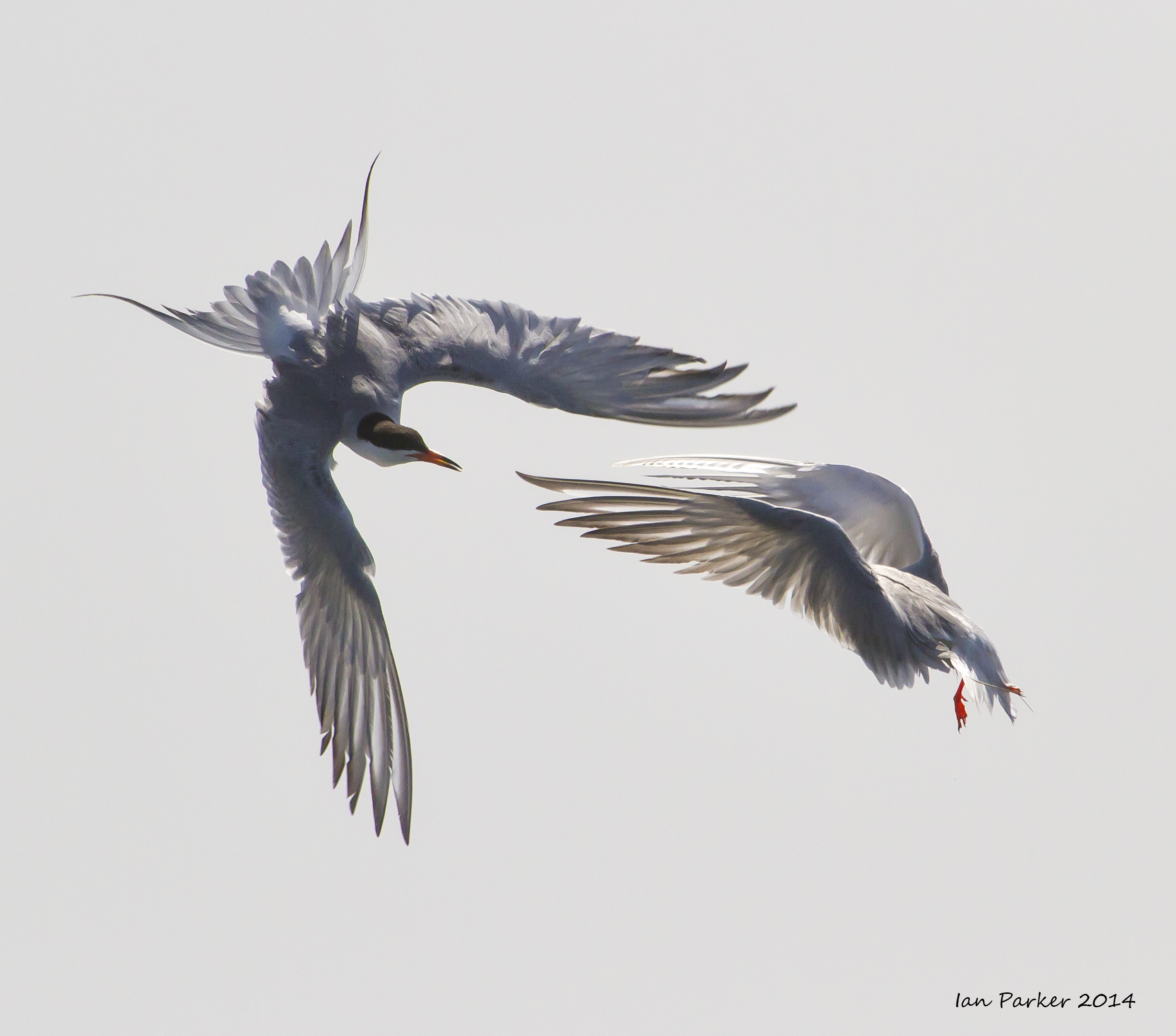
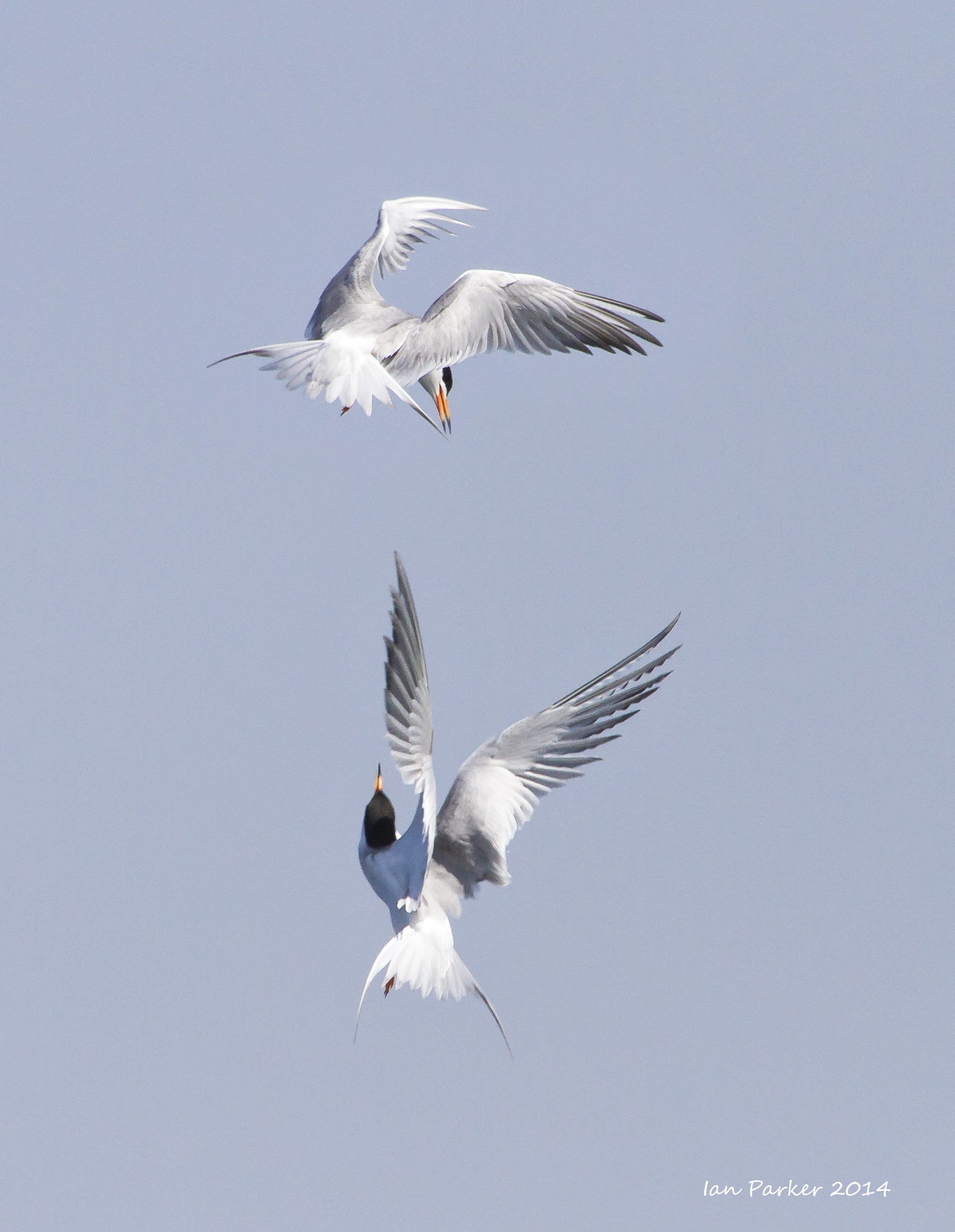
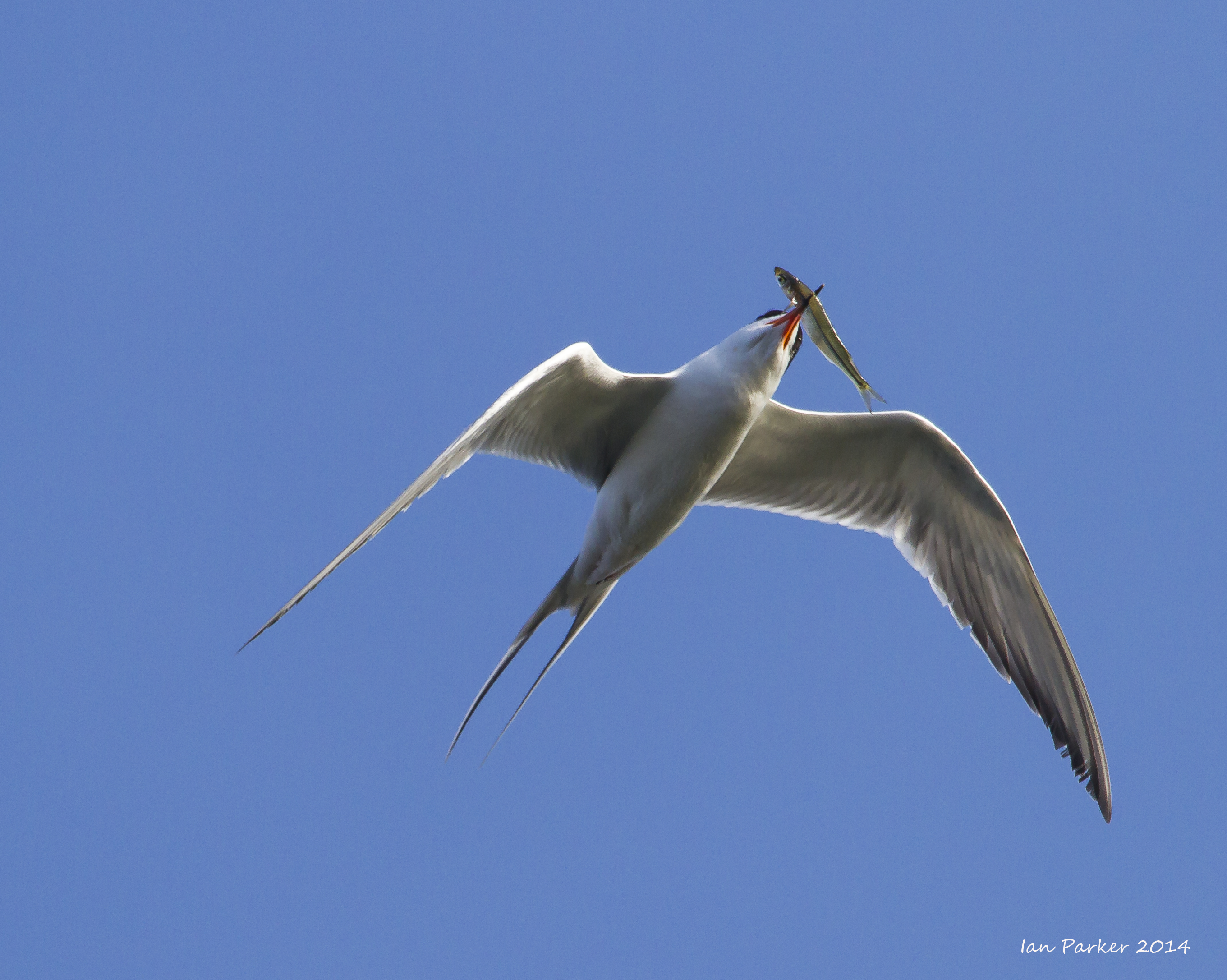
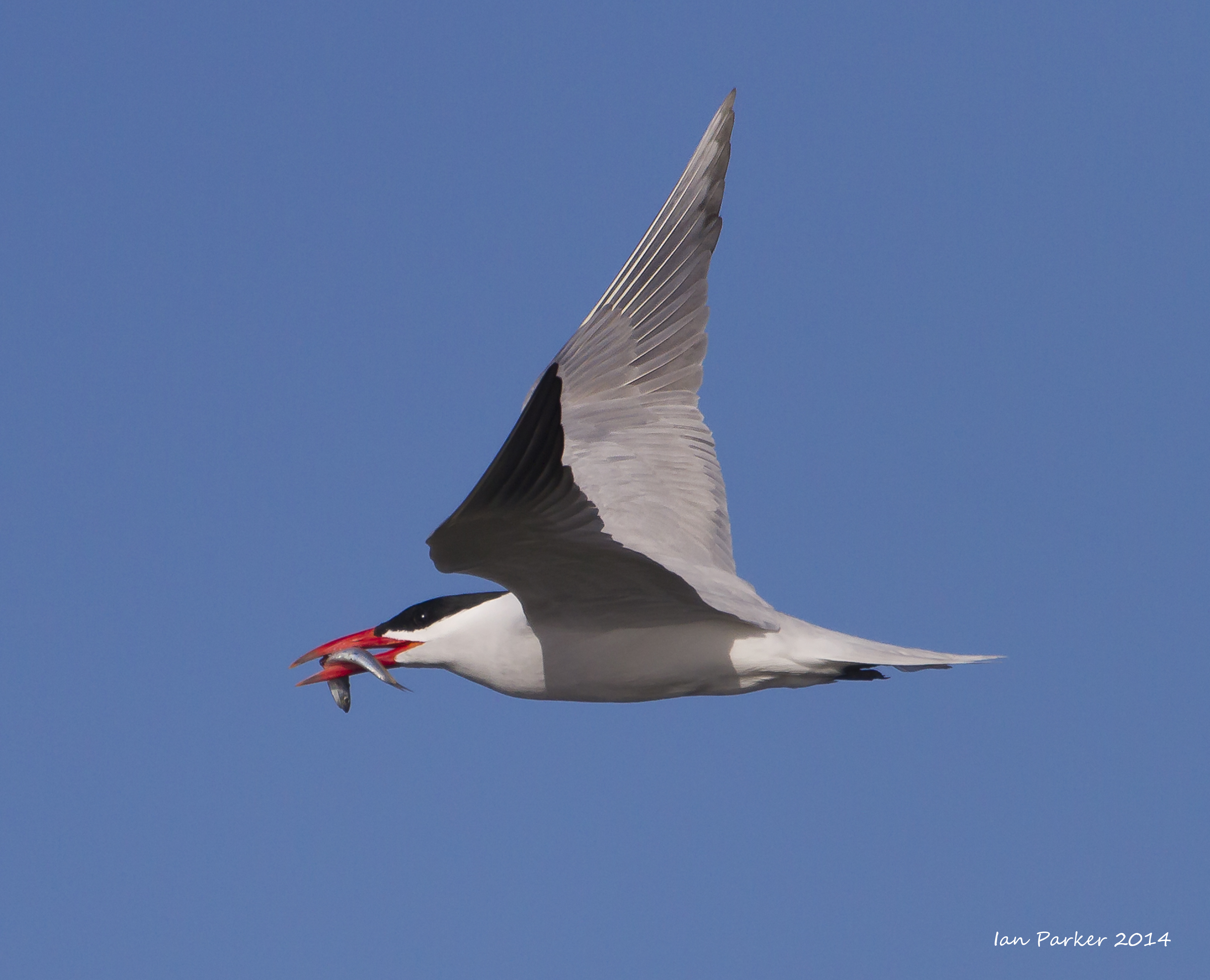
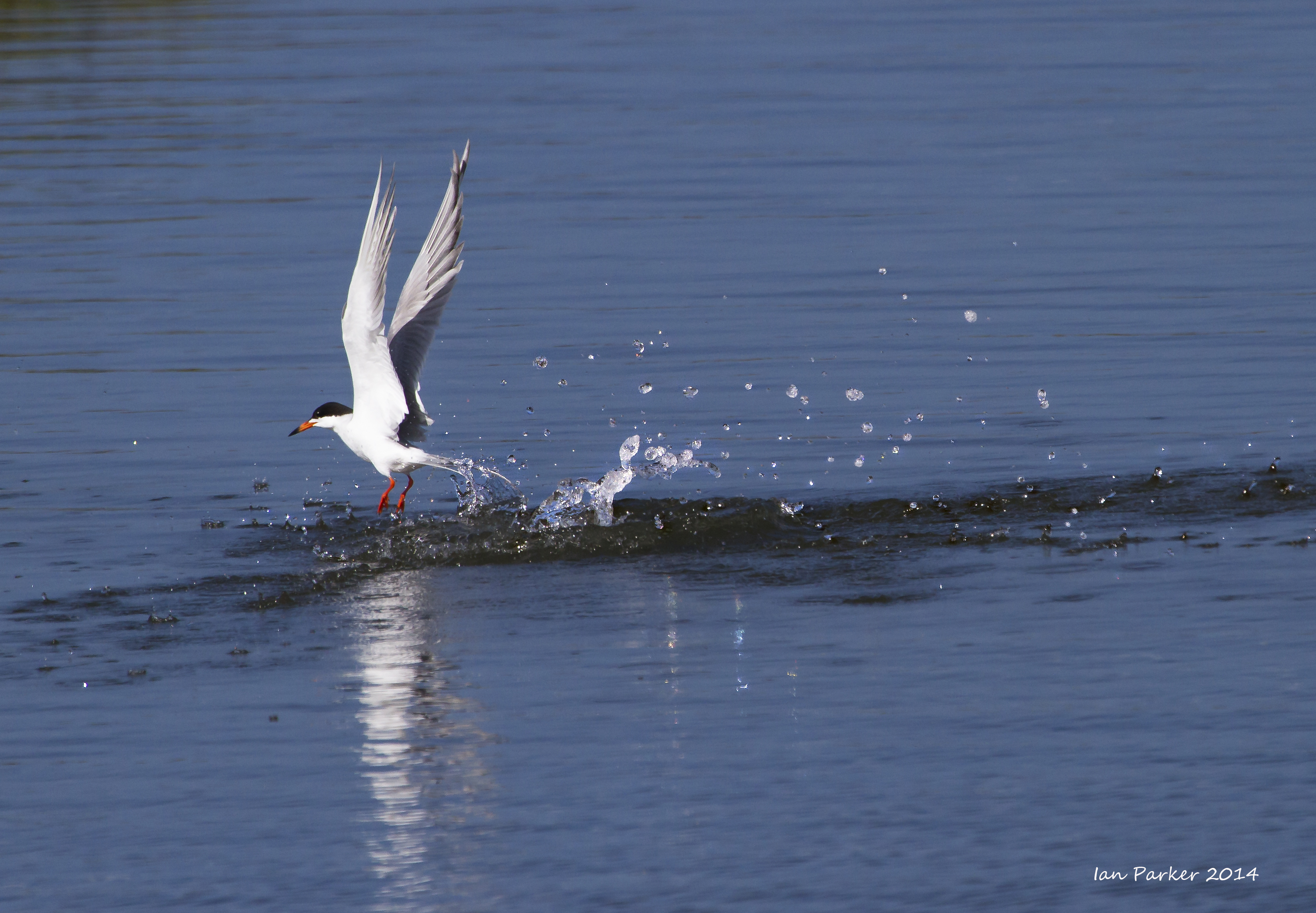
And the terns were
busy fishing and fighting
Great excitement among the birders. A family of light-footed clapper rails were ensconced close to the parking lot - the first sighting at Bolsa Chica in decades.
May 17, 2014
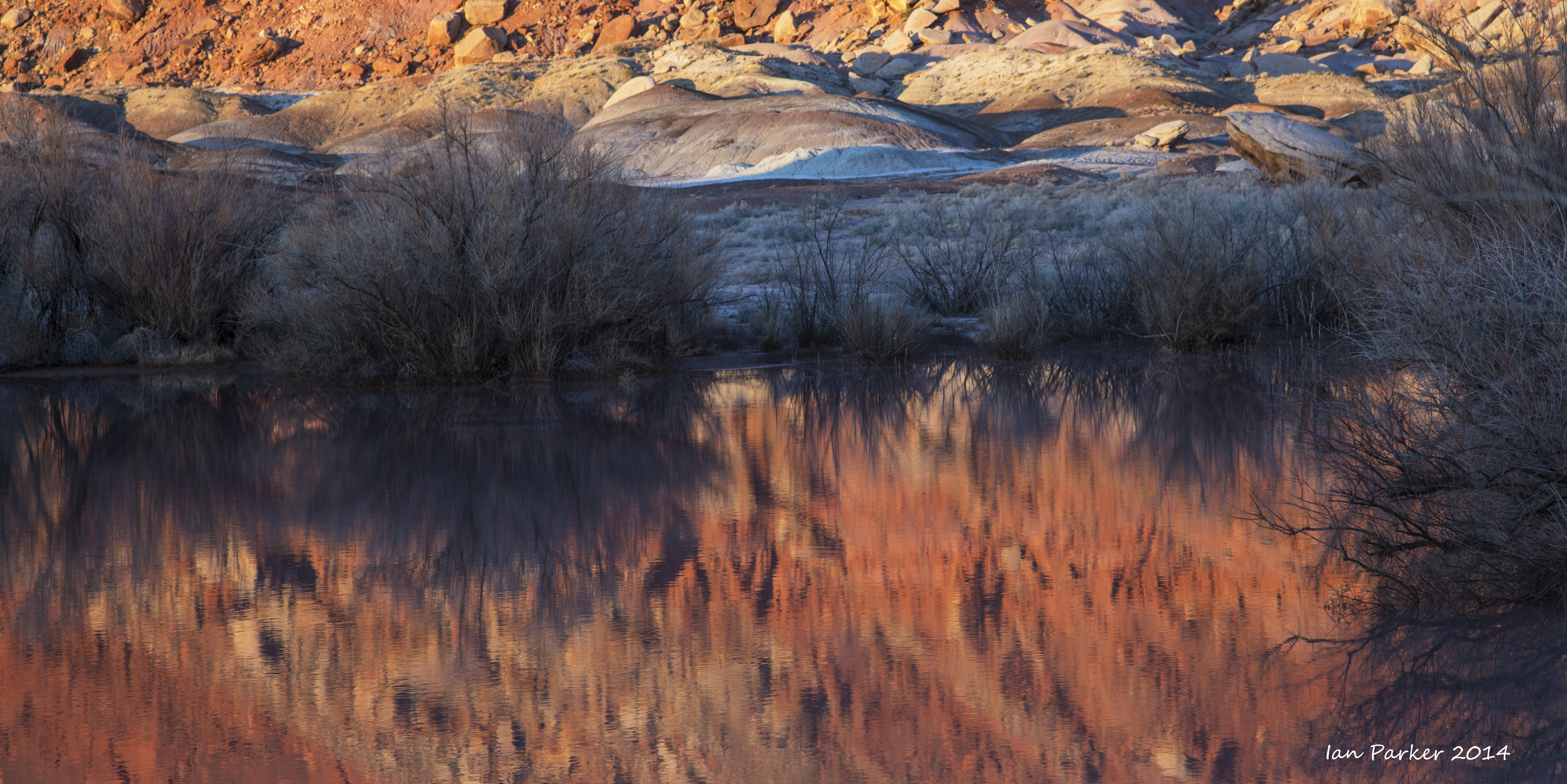
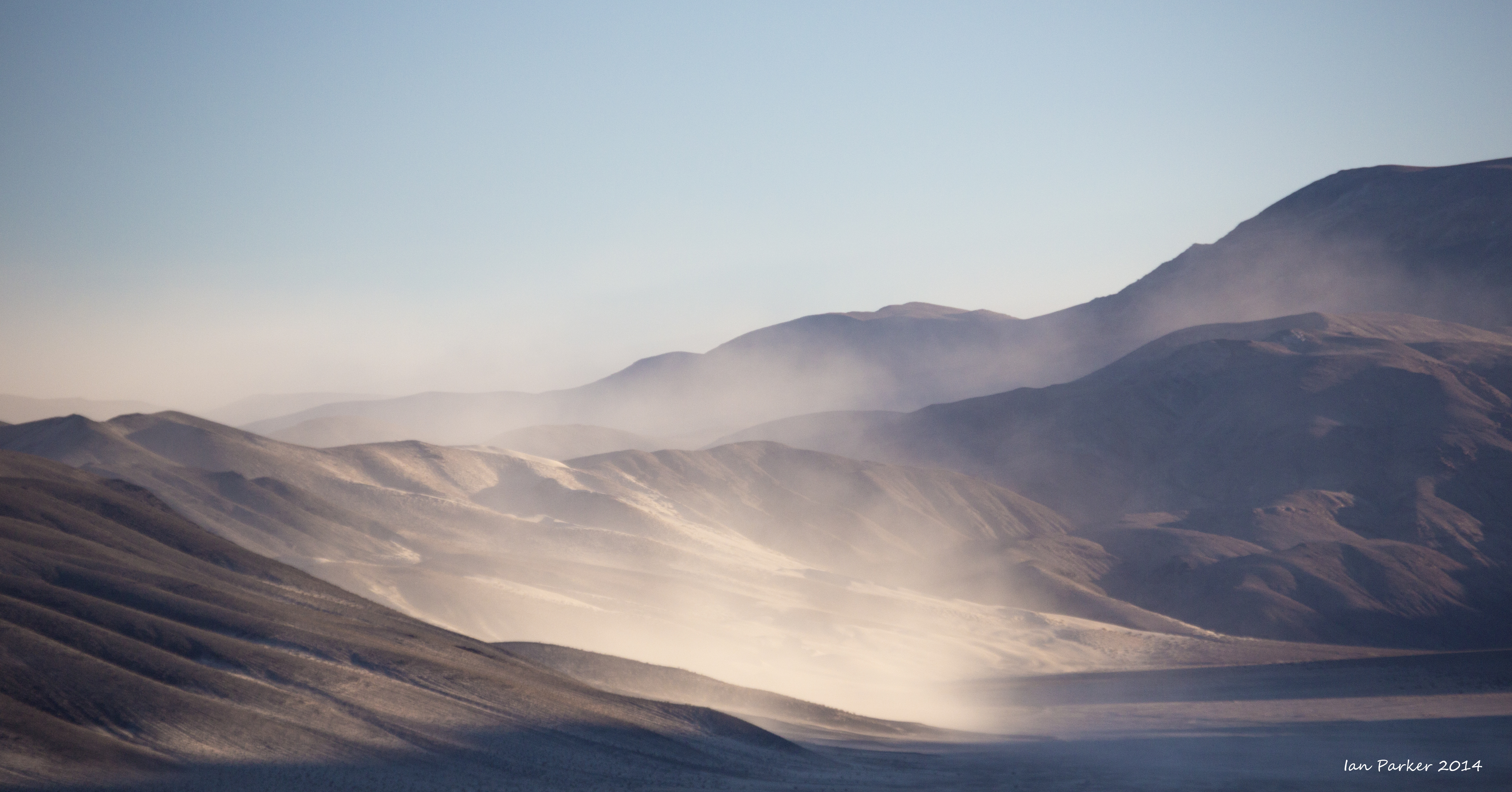
A weekend journey up the Swansea grade into the Inyo mountains and the summit transfer station of the historic Saline Valley salt tram. The sky was clear as we first started up the Swansea grade, but clouds gathered and the wind sprang up as we approached the summit ridge. Looking down into Saline Valley the wind was blowing dense dust clouds, and I commented to Anne that I was glad we were high above in clear air. But, I spoke too soon. An impressive dust cloud rose up Daisy Canyon and over the top of the montains, engulfing the tramway station and blotting out the sunset. We had a wild night camped among the trees below the tramway with the wind battering our tent. And it was cold - a half-empty can of beer left outside was frozen to slush in the morning.

Panorama of sandstorm in Saline Valley : Click the image to download 40 Mpix stitched panorama |
May 06, 2014
Photos from two Sunday mornings at Bolsa Chica
April 13-15
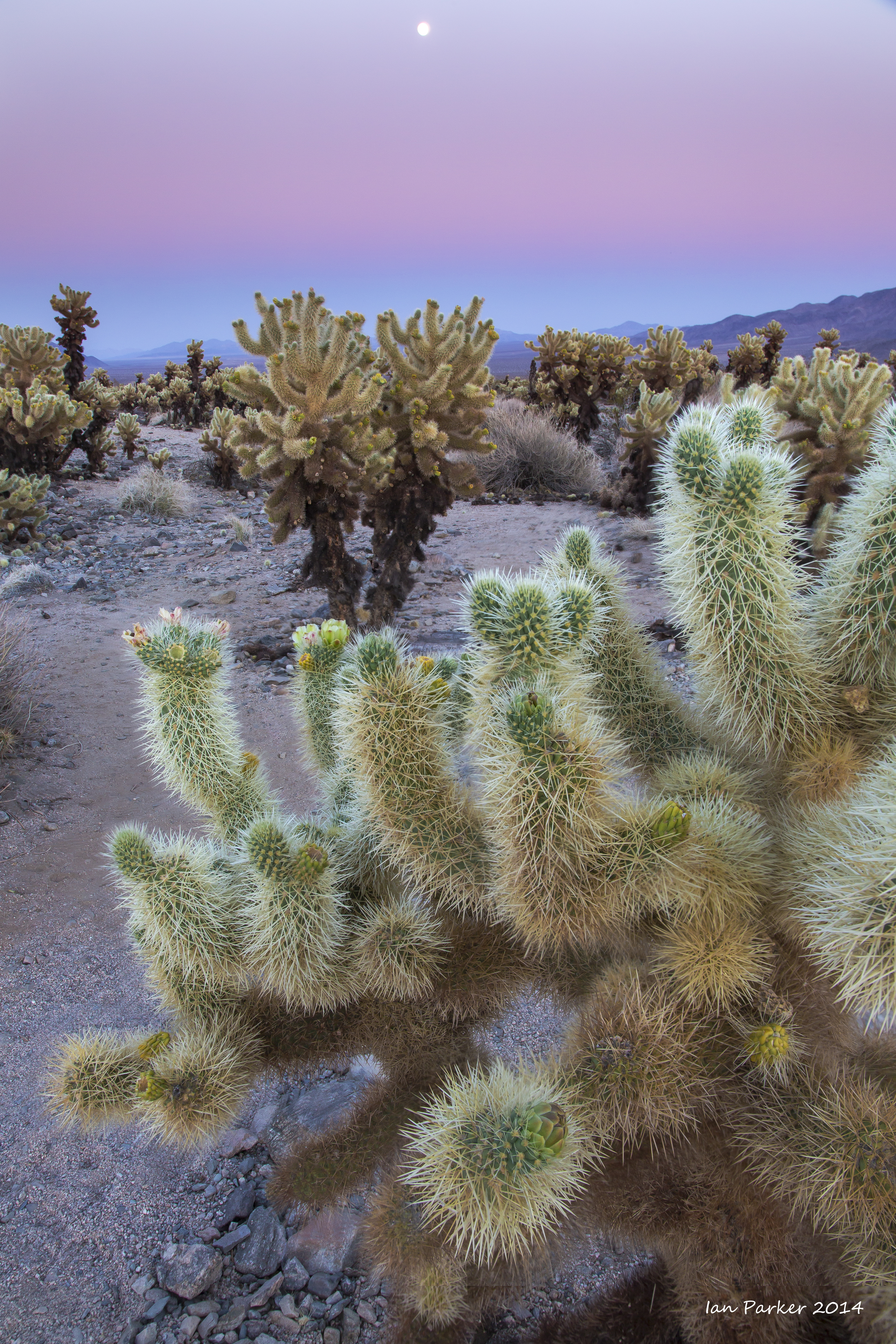
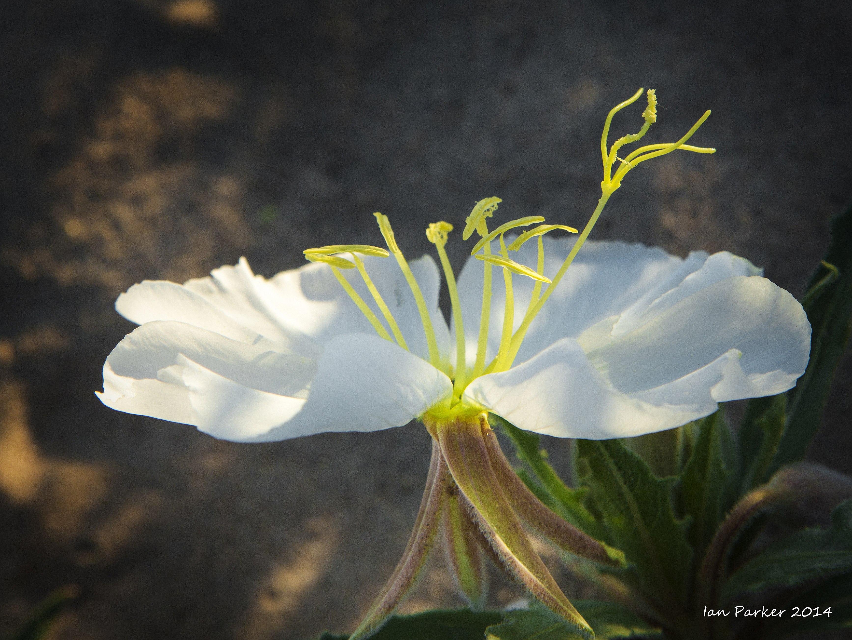
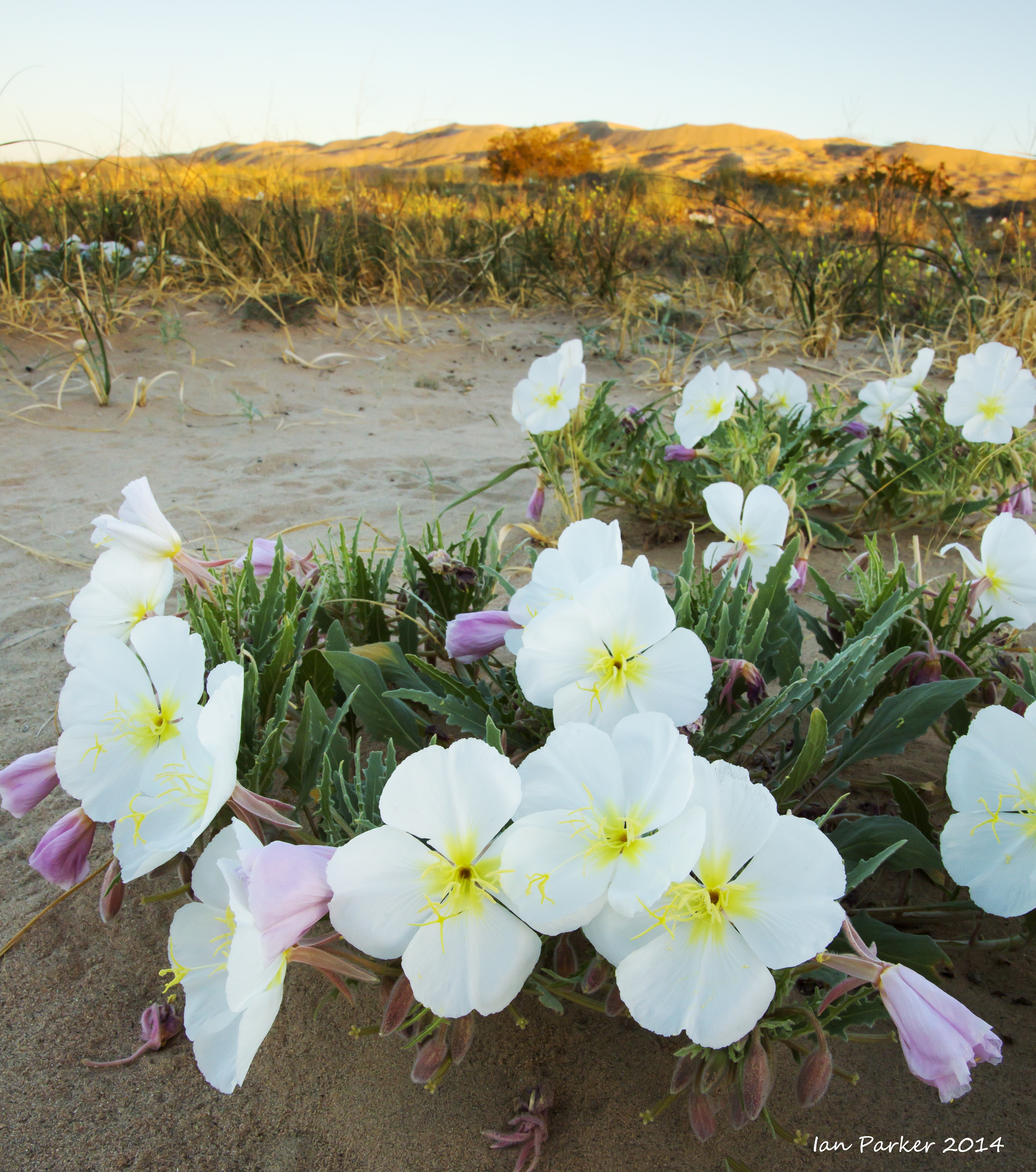
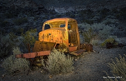
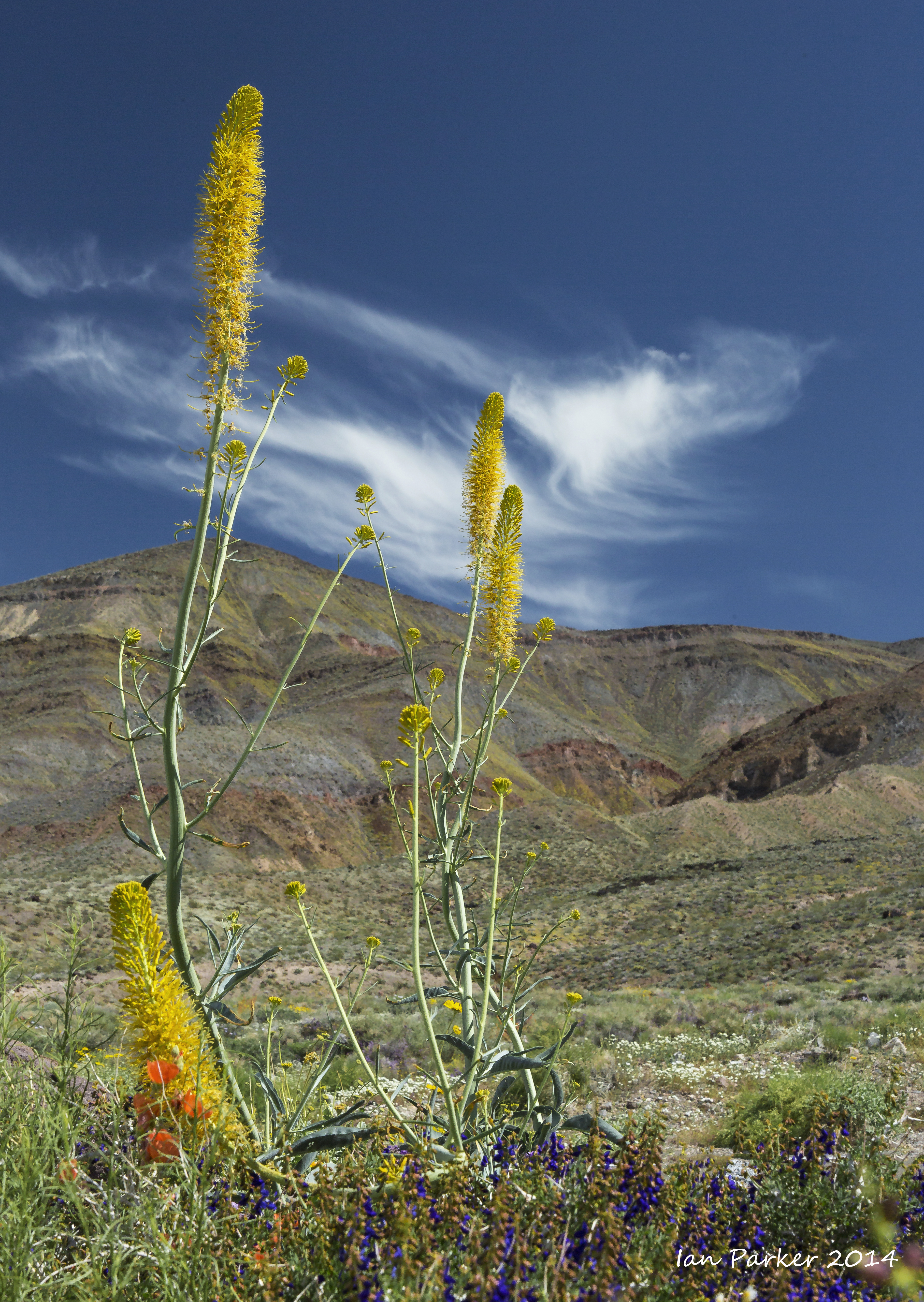
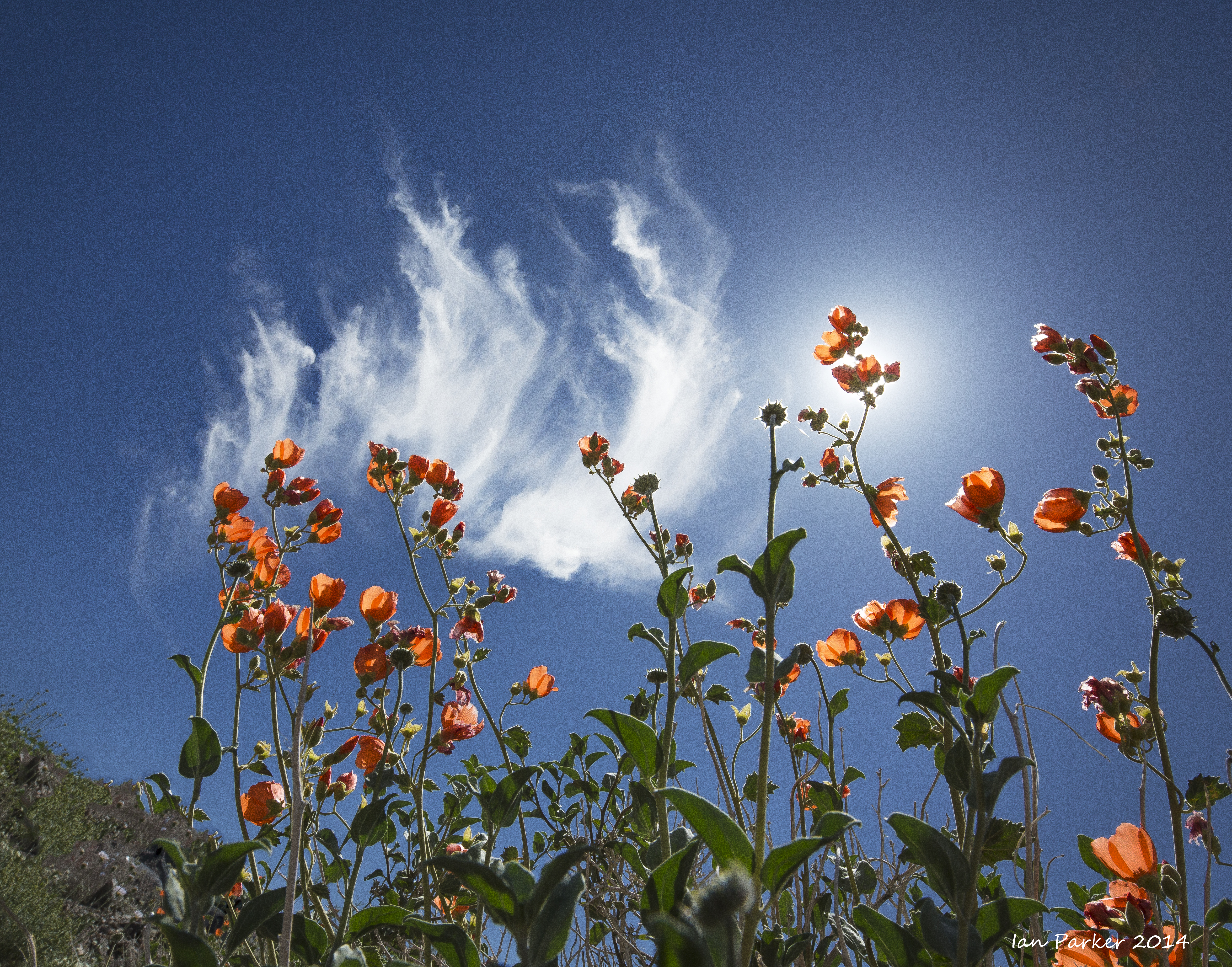
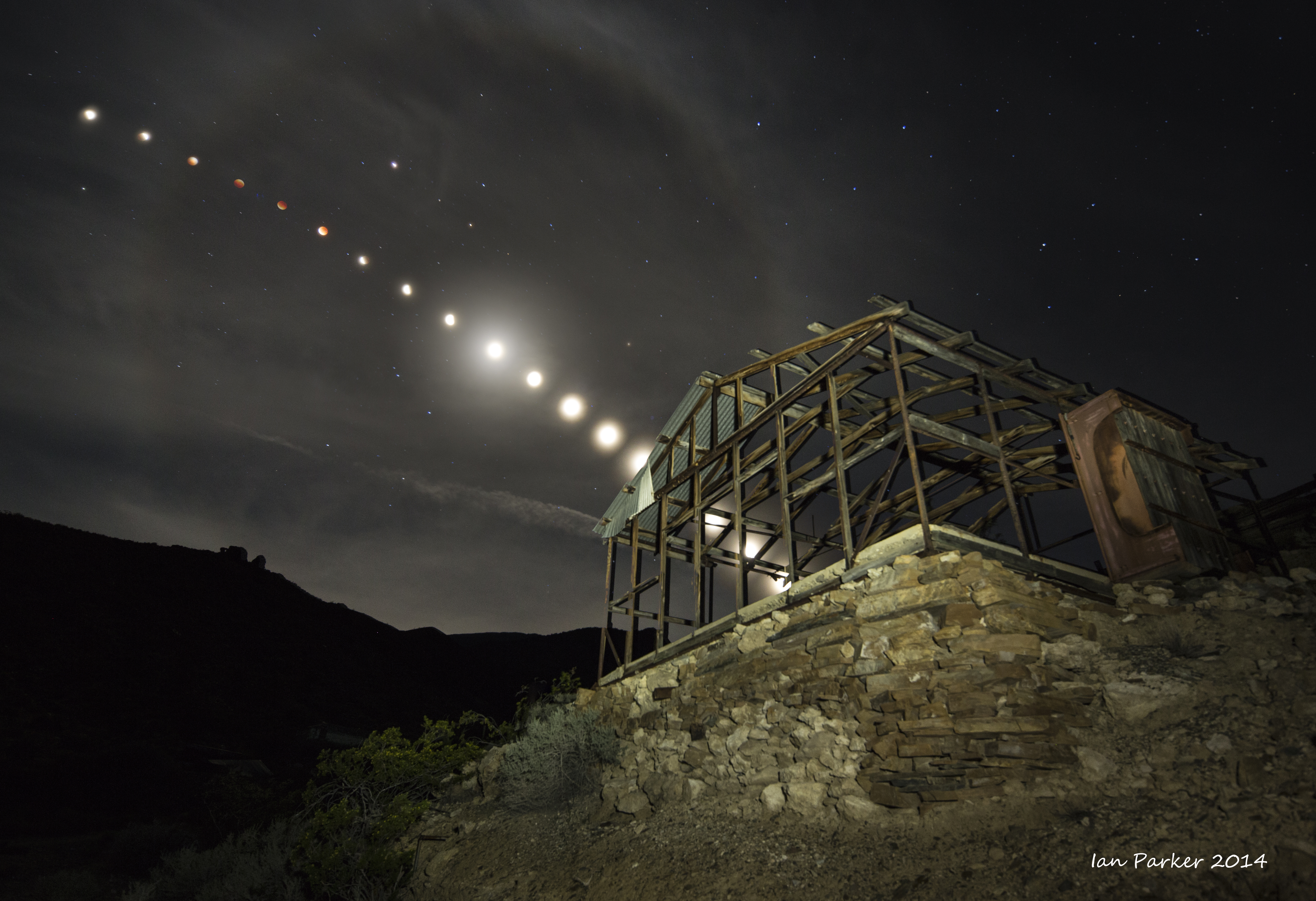
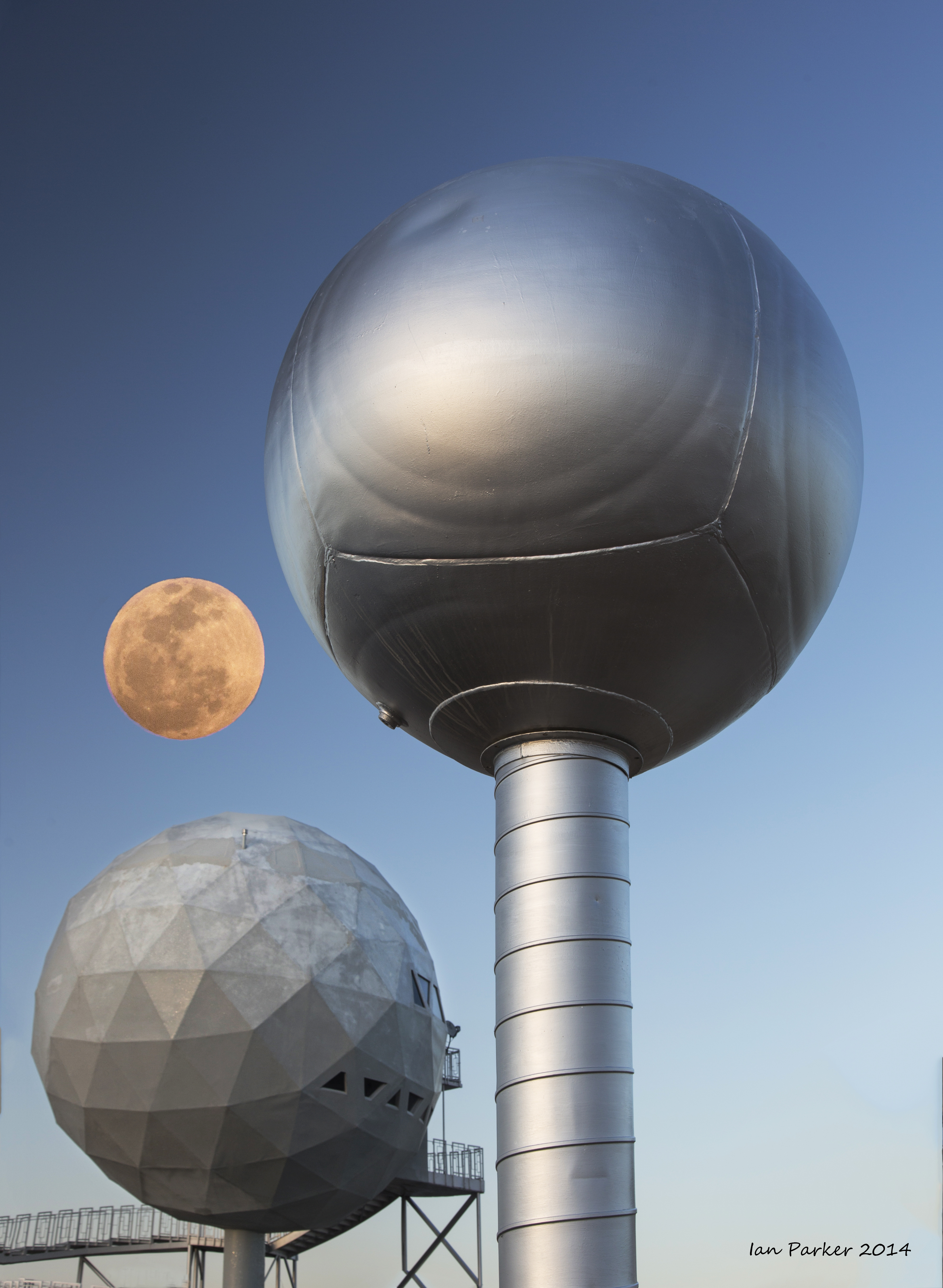
A few days traveling from Joshua Tree through the Mojave to Death Valley; timed for good wildflowers and the total linar eclipse of 4/15/2014.
March 15-23
A Spring break trip to Utah and Arizona
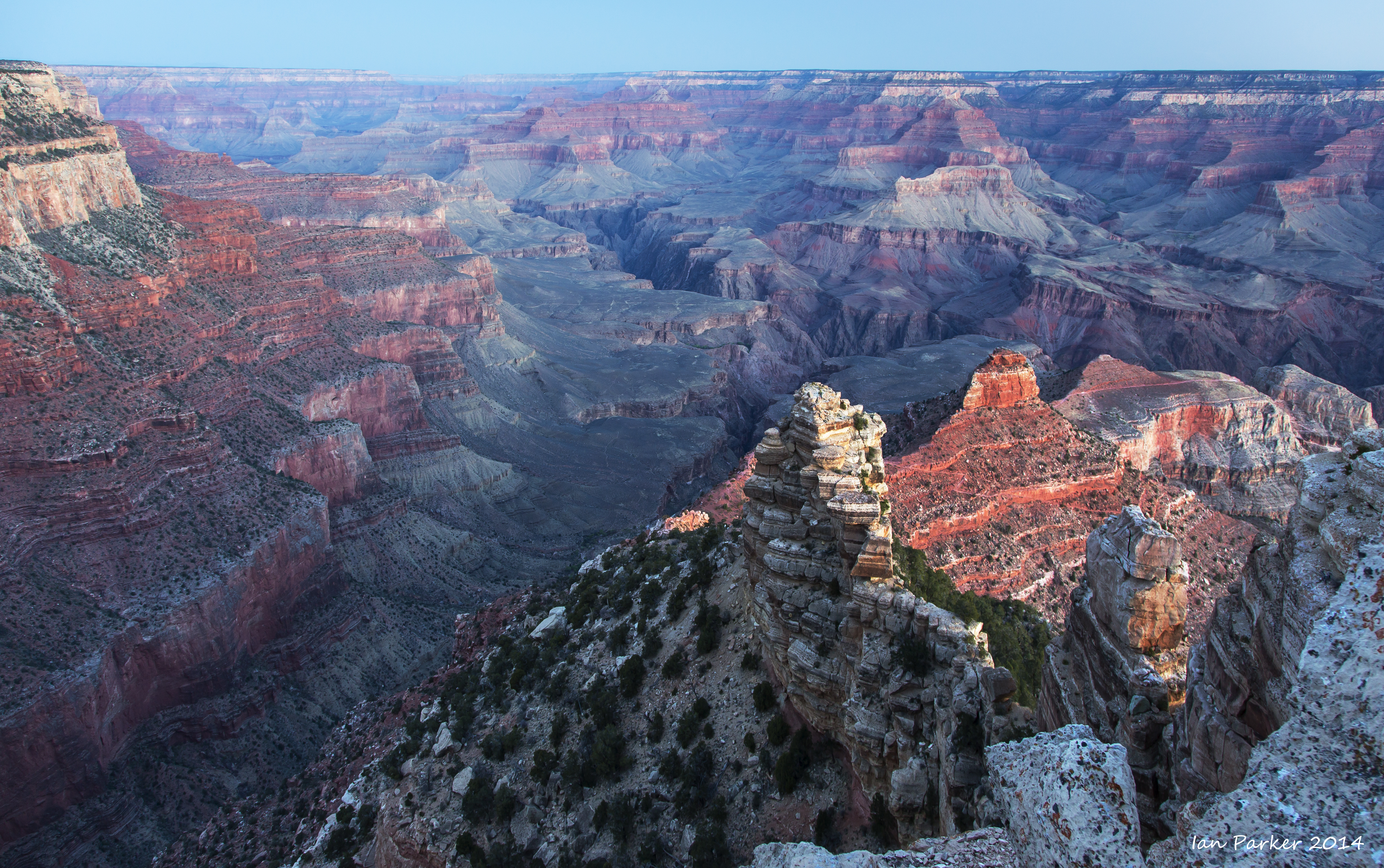
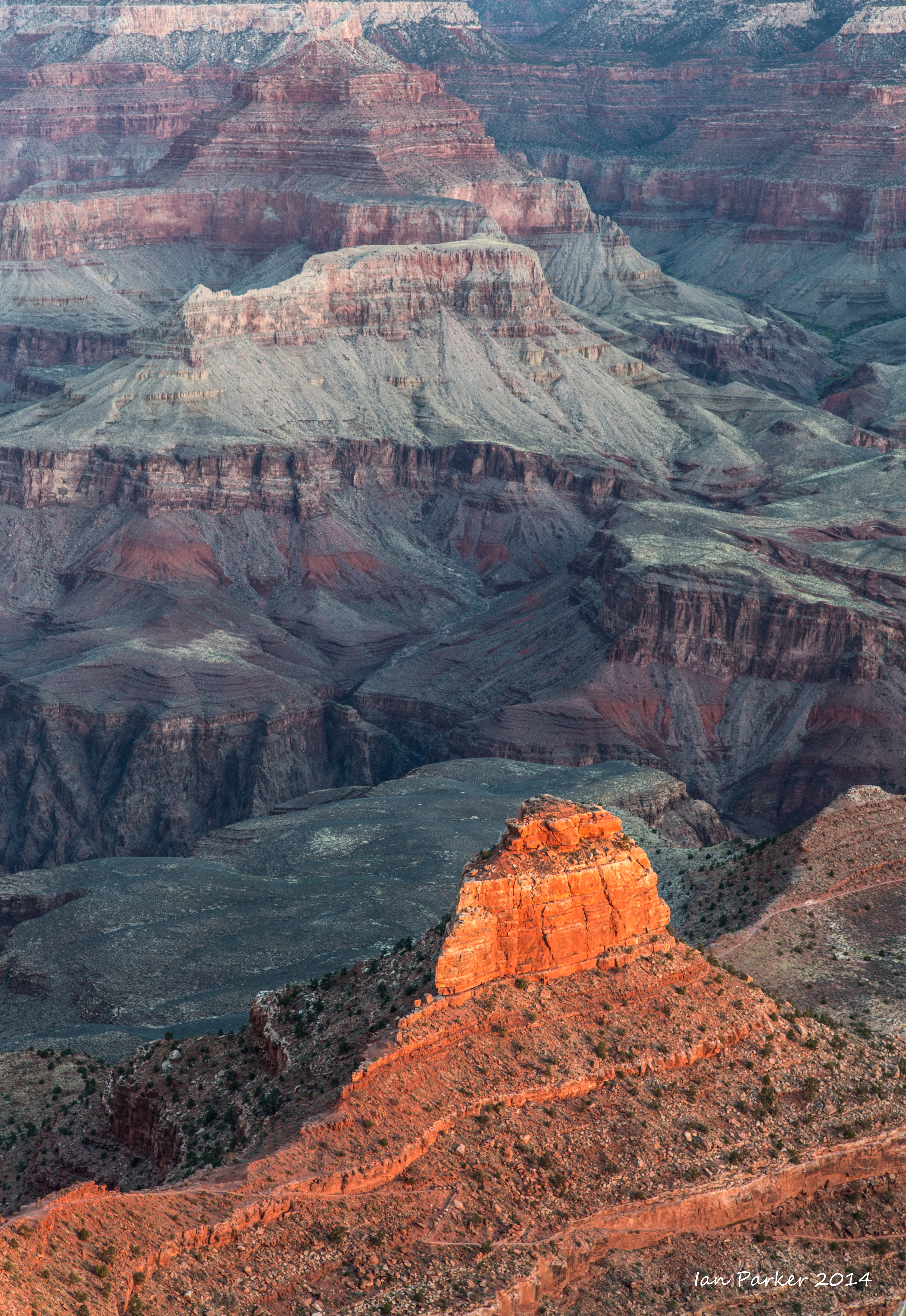
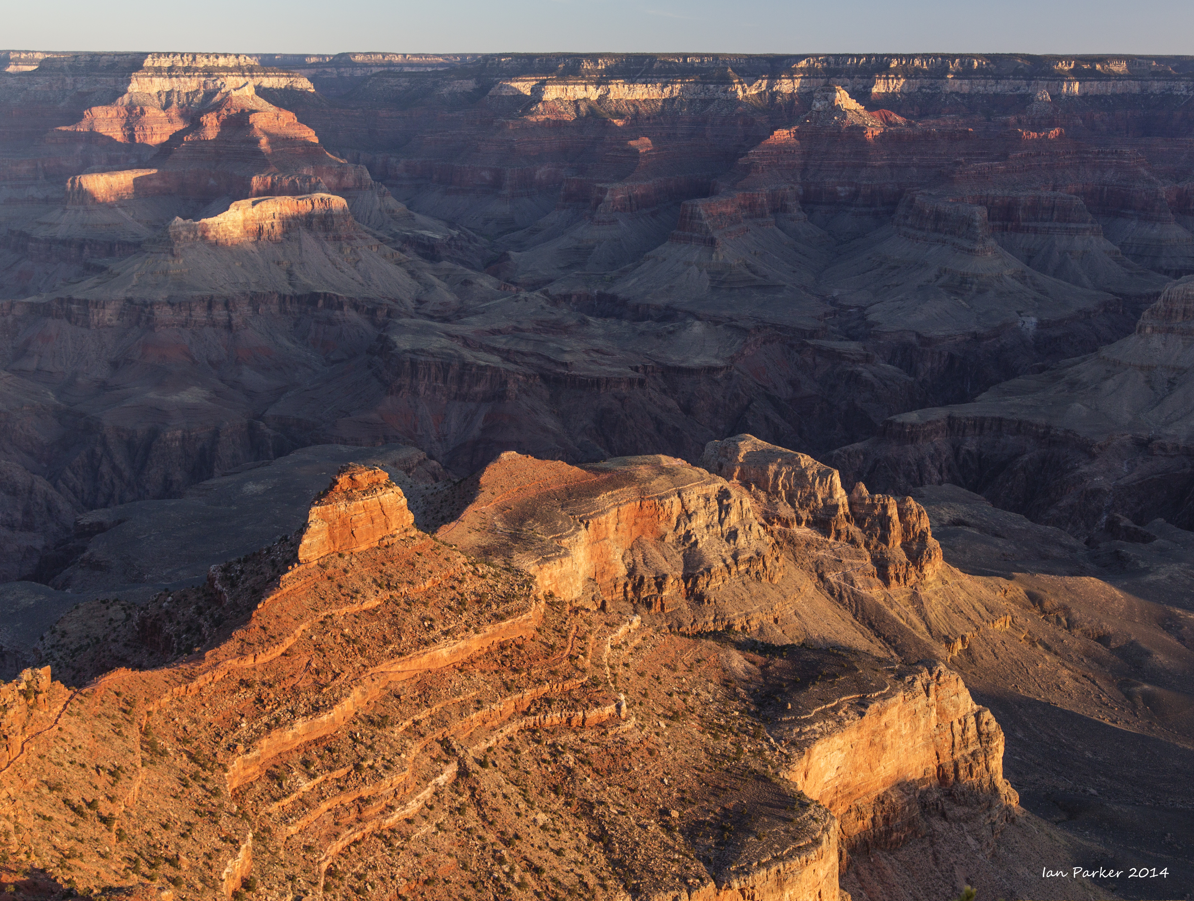
I drove out along Interstate 40, with an overnight stop (and dawn photography) at the Grand Canyon, before heading to Monument Valley for the evening. The latter visit was timed for a full moon, and was a reconnaisance for a subsequent visit in September. Then, a full moon will be rising at about the same position, but on the same day when the setting sun casts a shadow of the West Mitten onto the East Mitten.
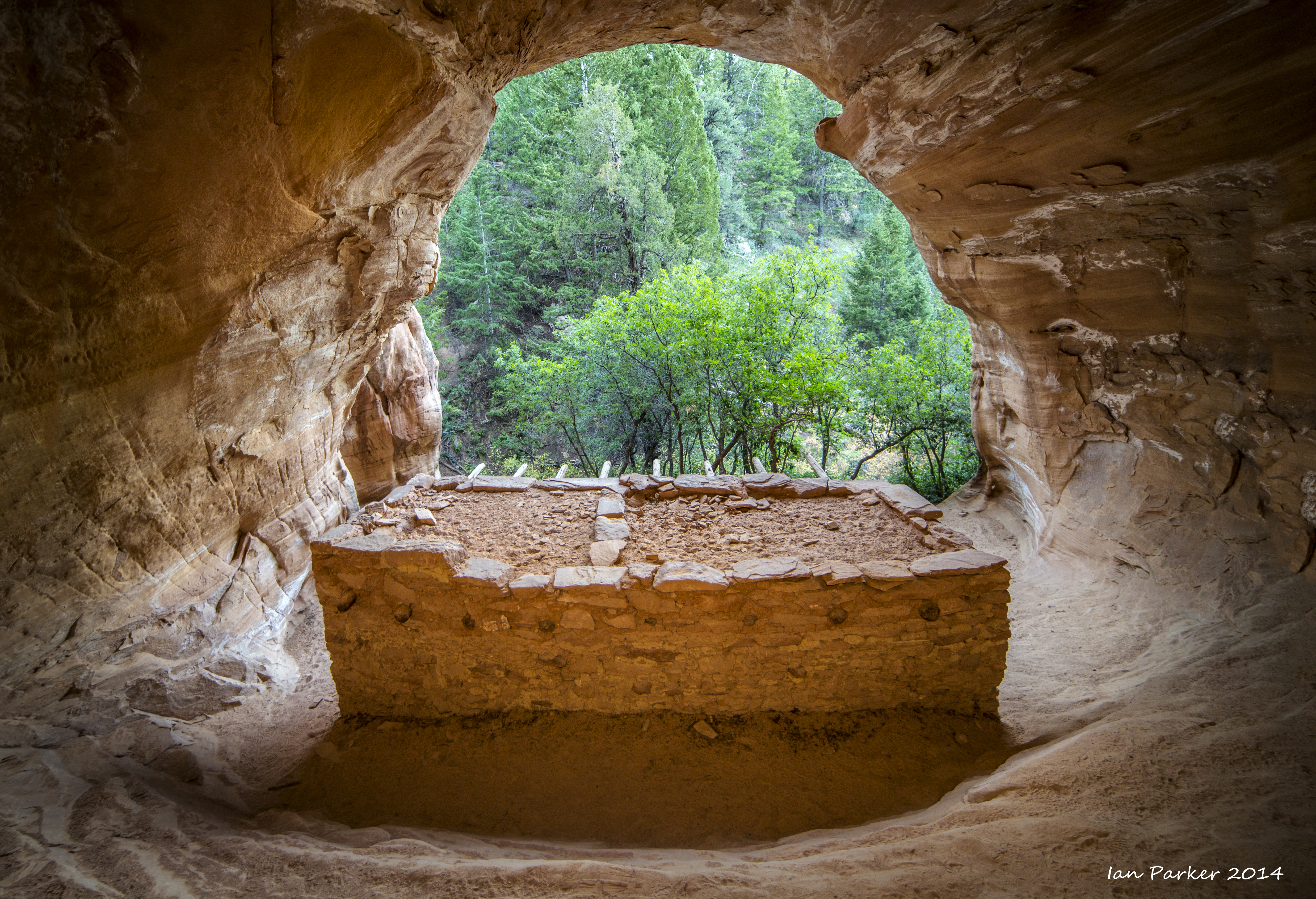
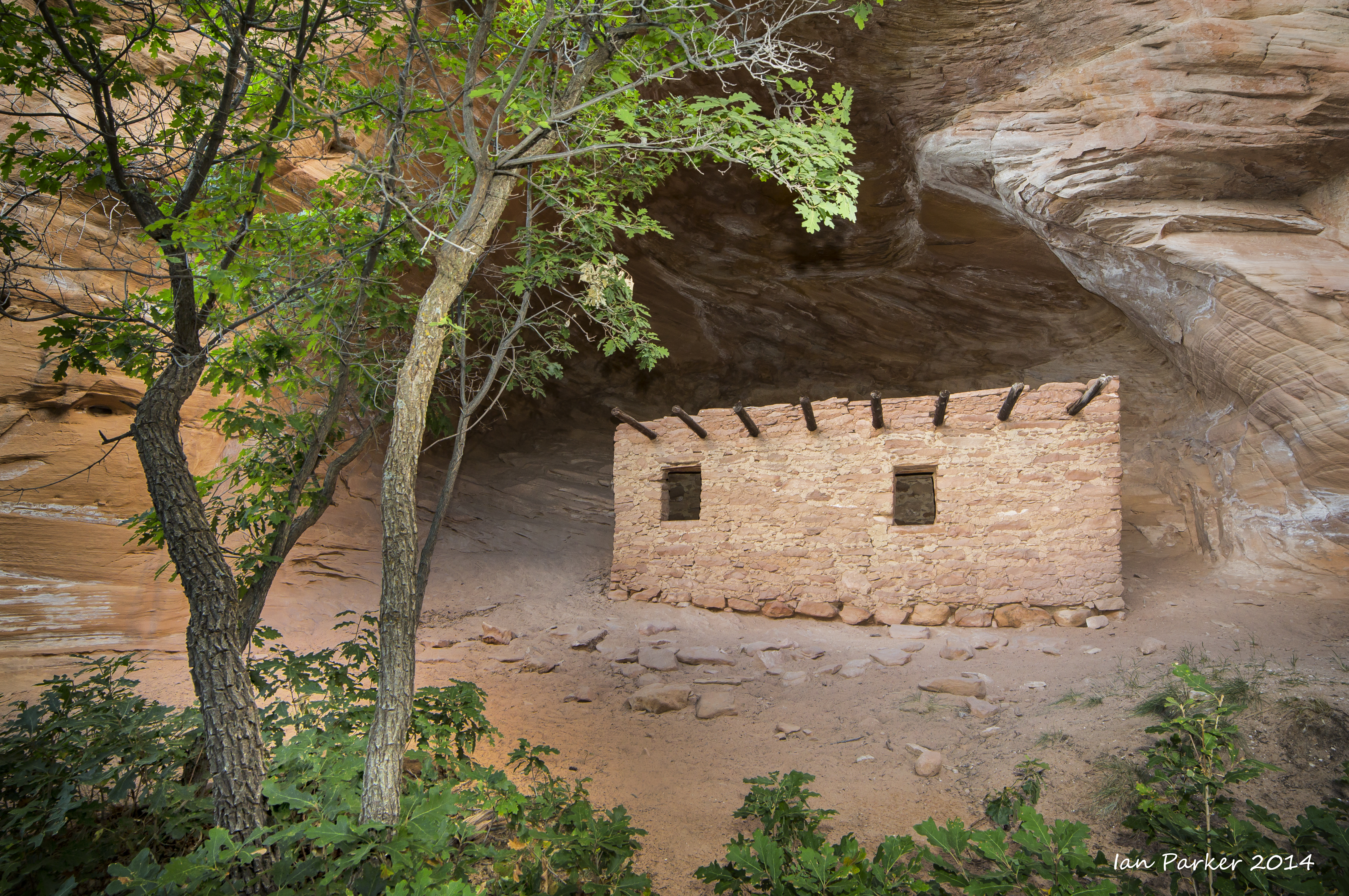
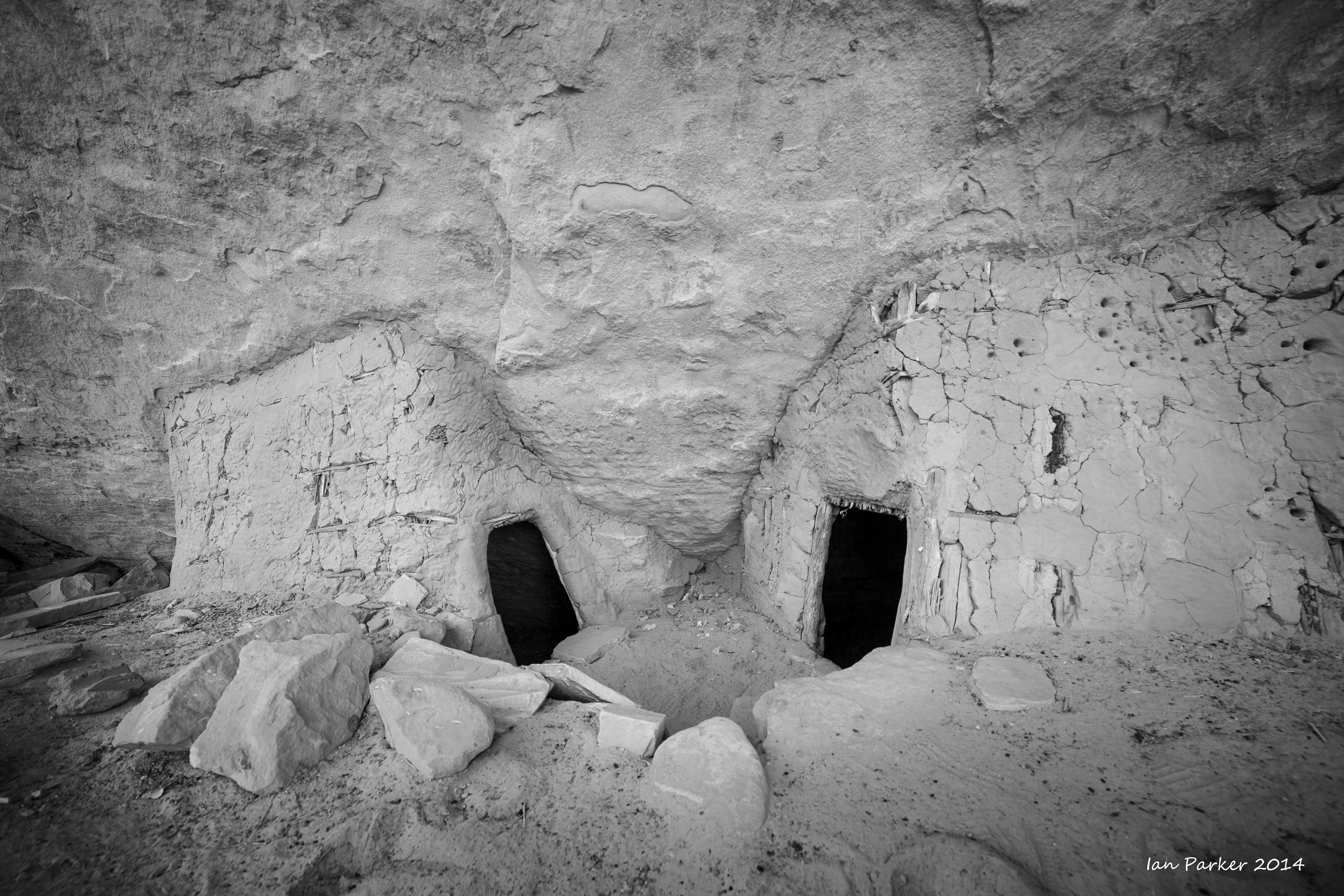
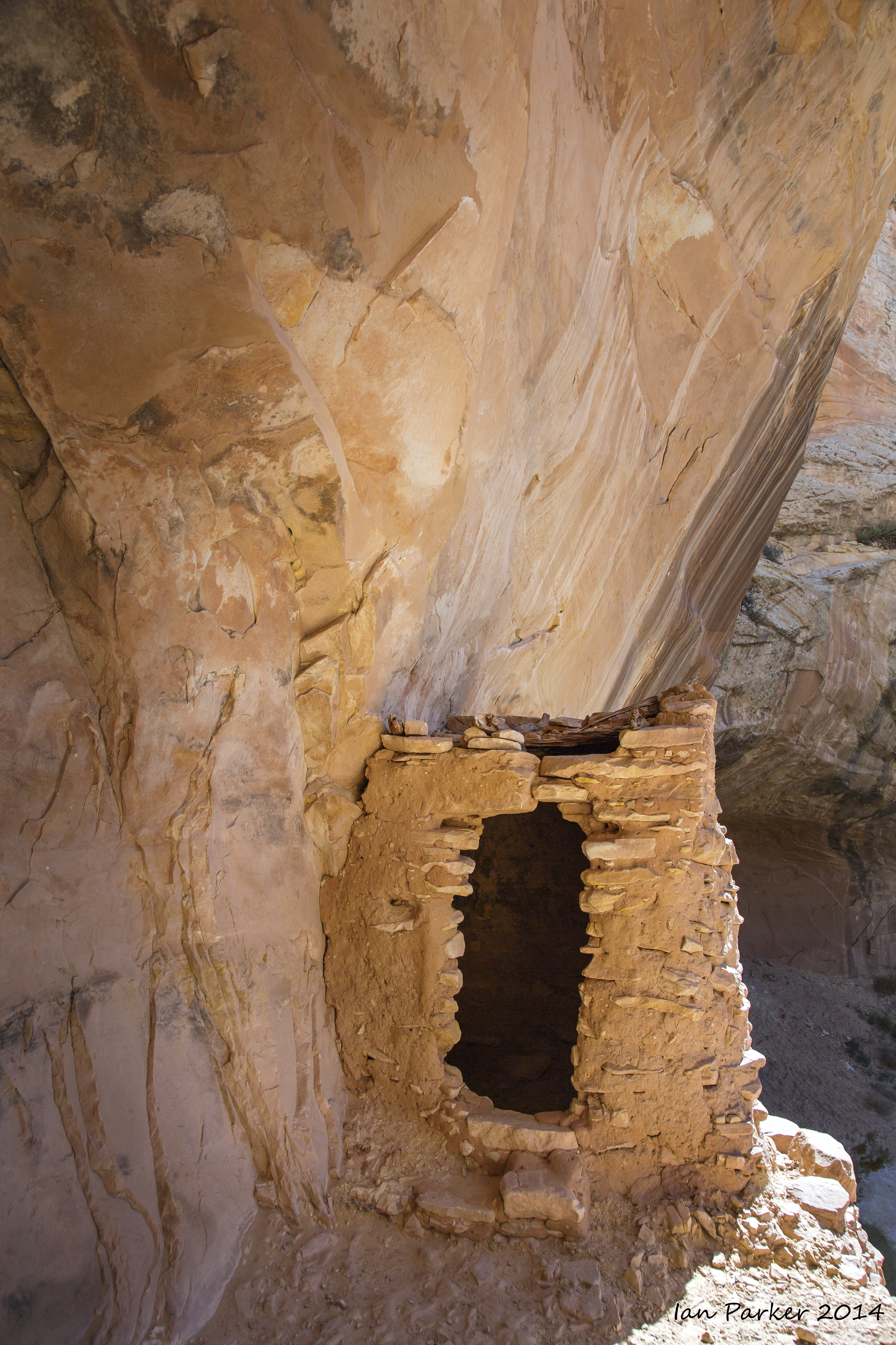
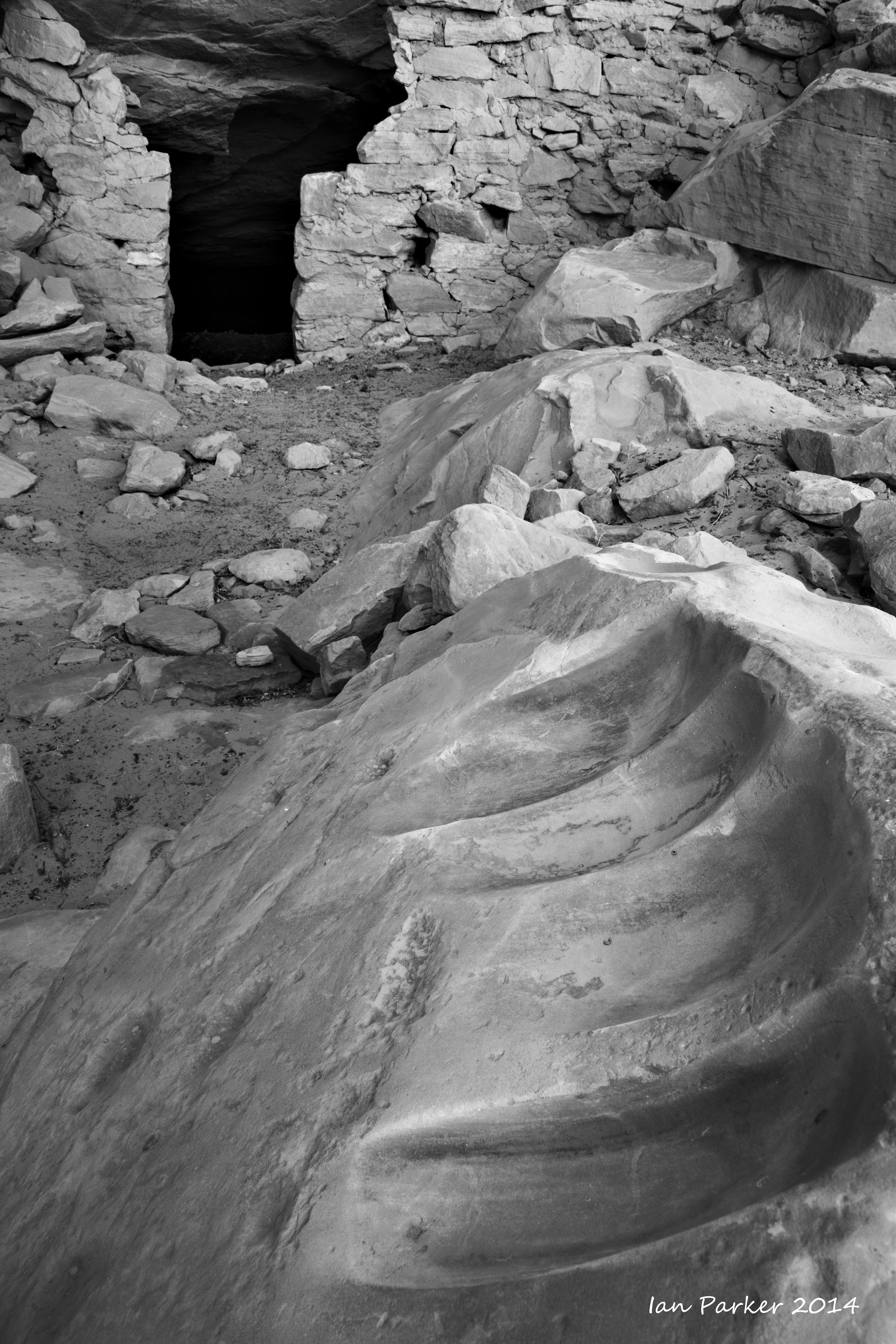
Ruins seldom seen: An off-trail hike up a remote canyon. I was only the third visitor to these ruins this year.
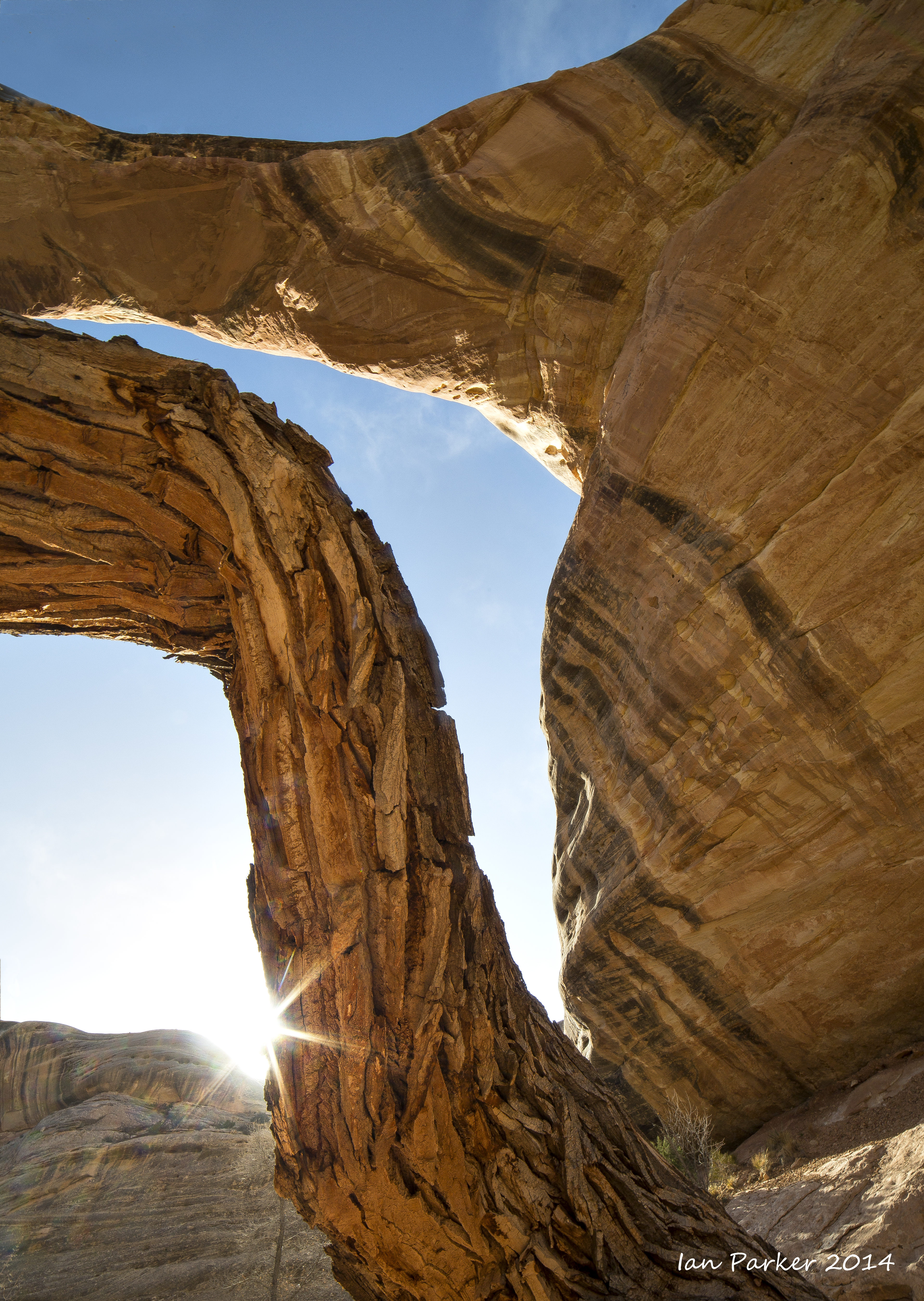
Sipapu Natural Bridge
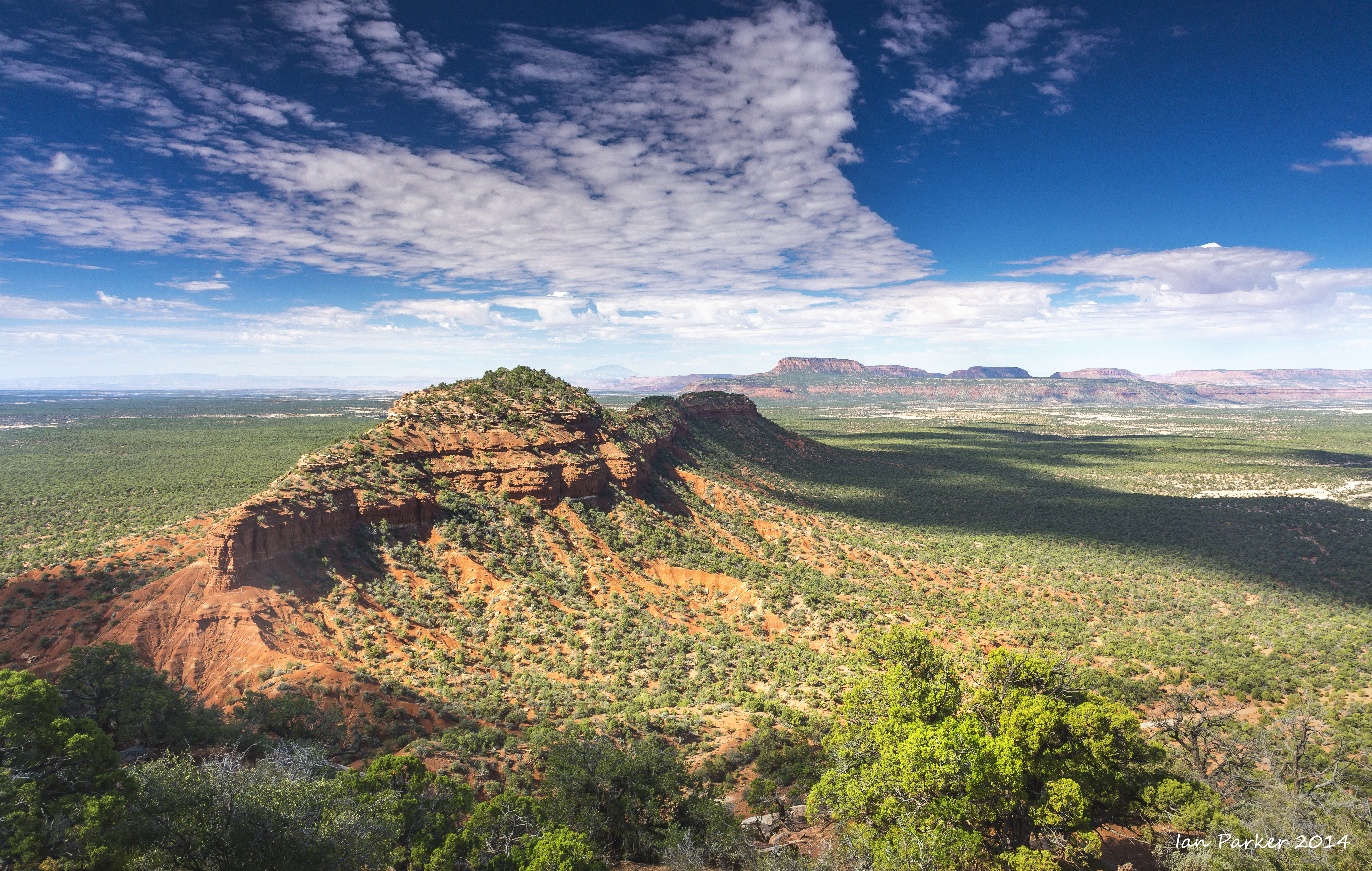
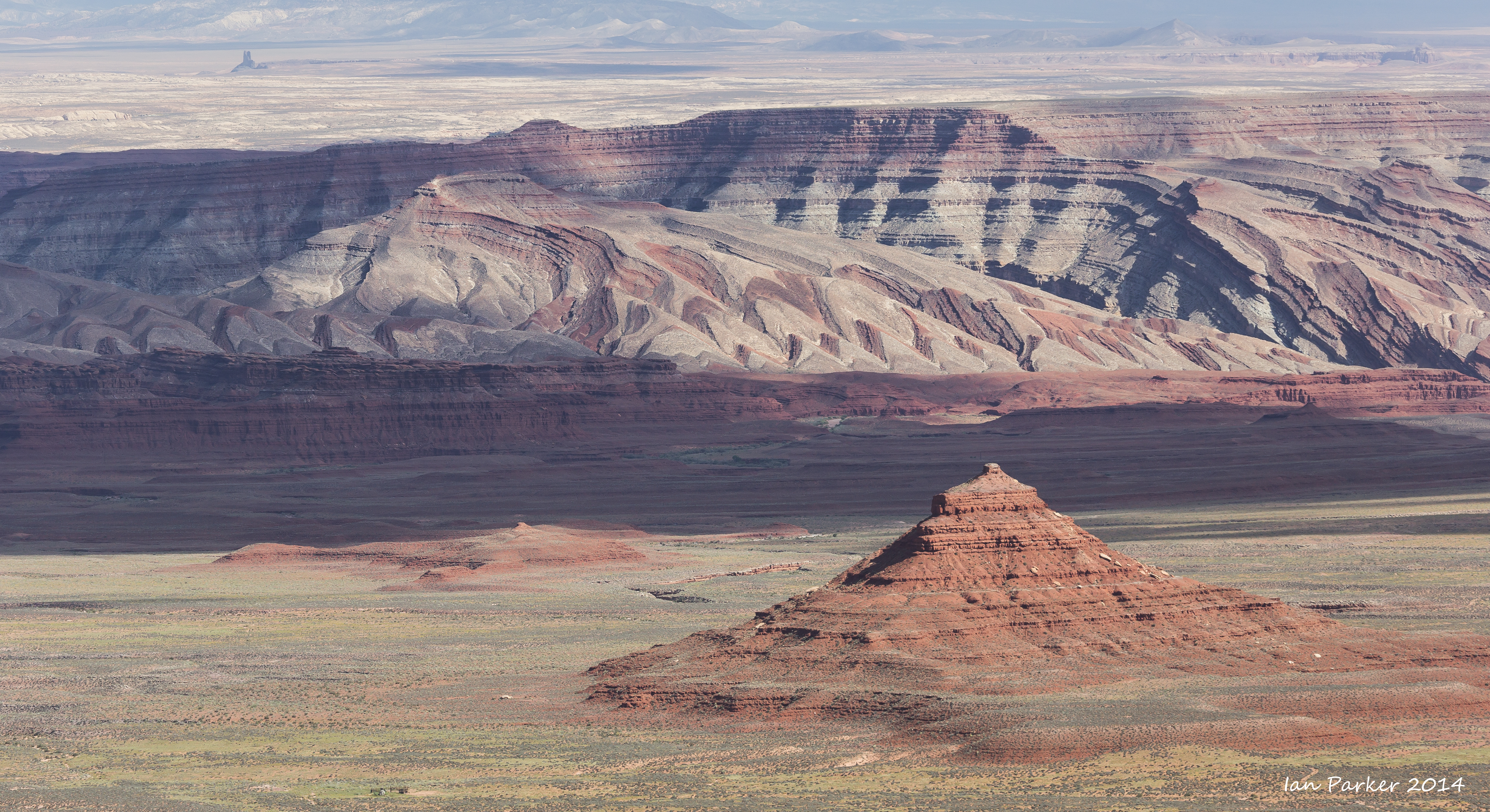
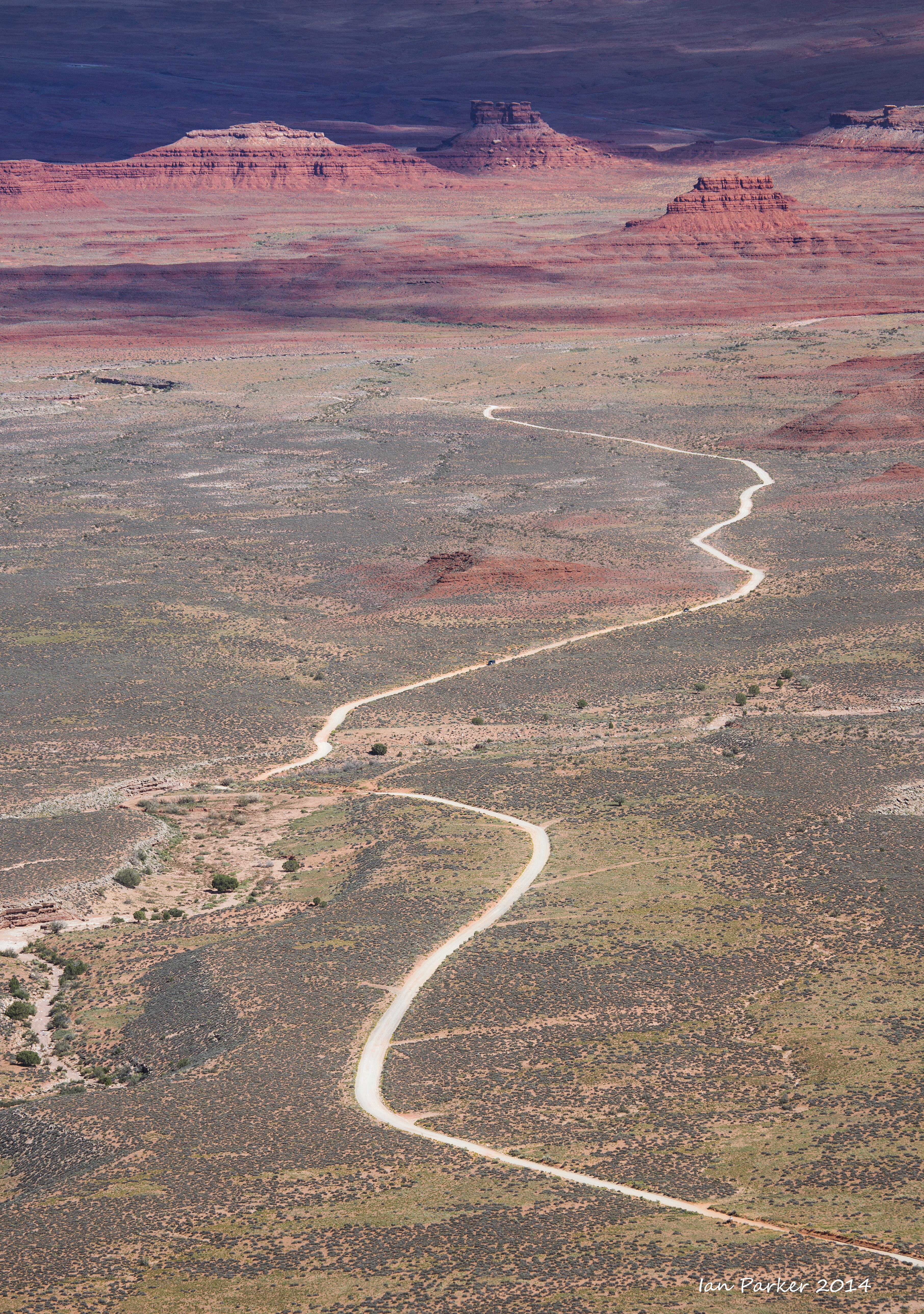
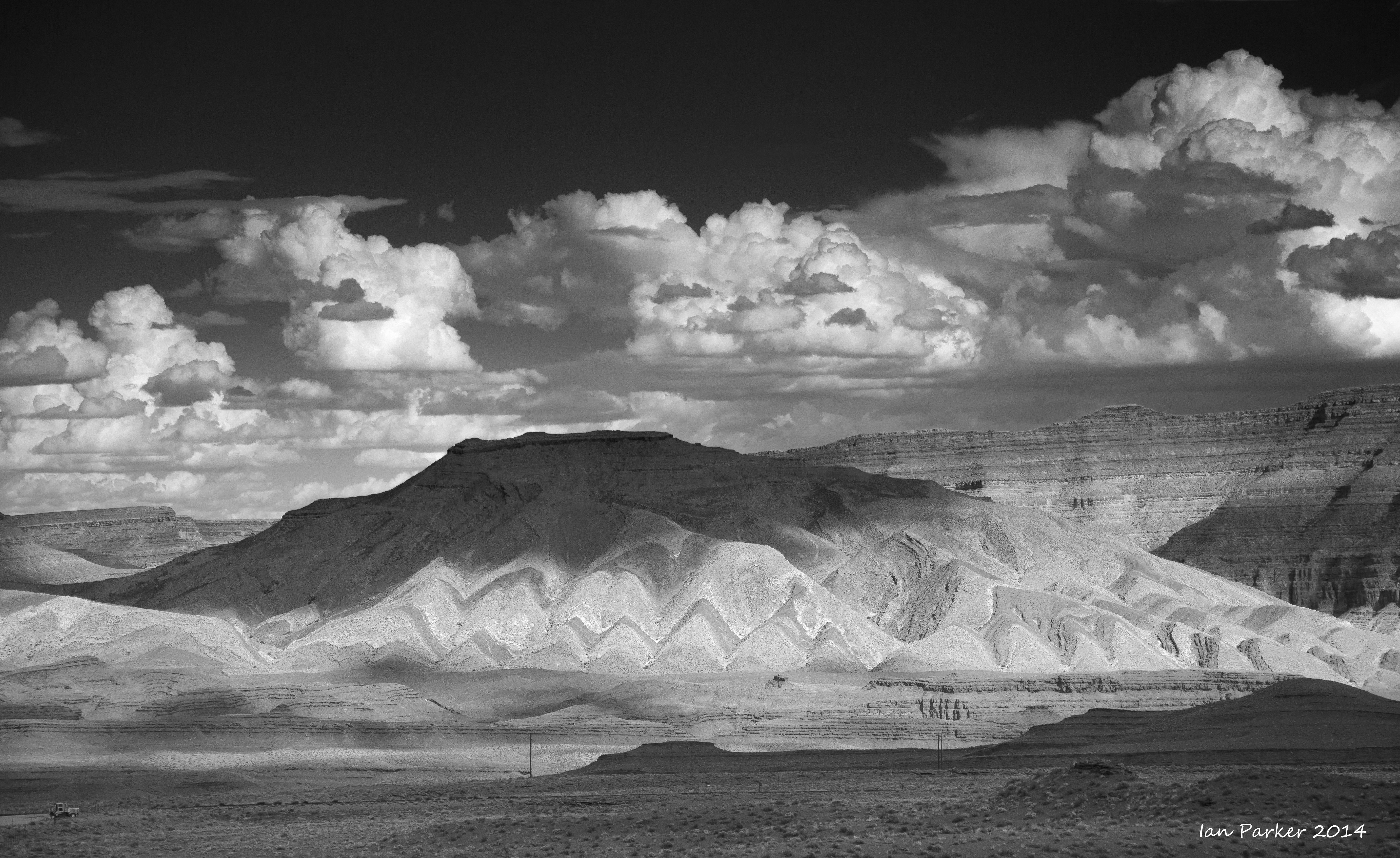
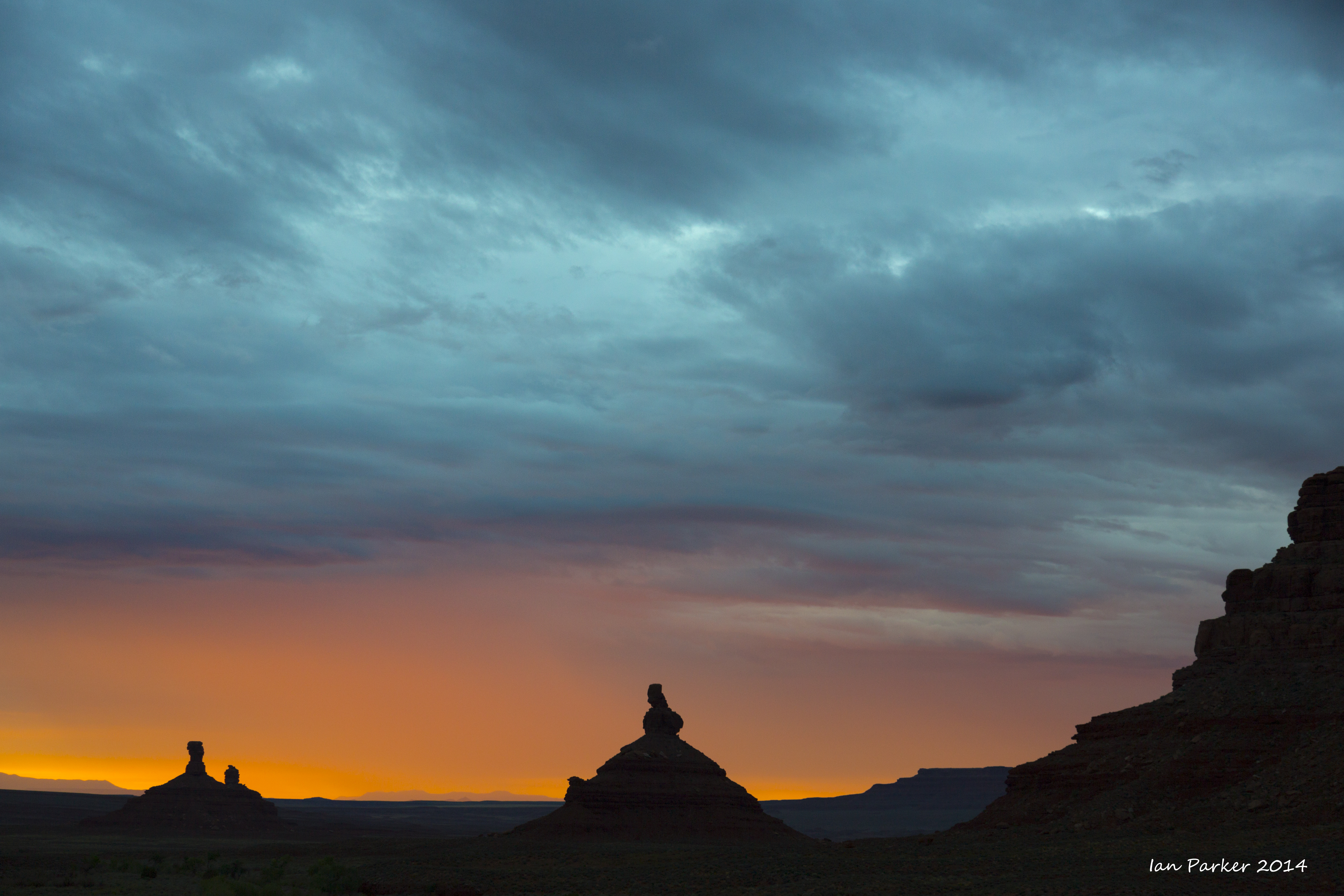
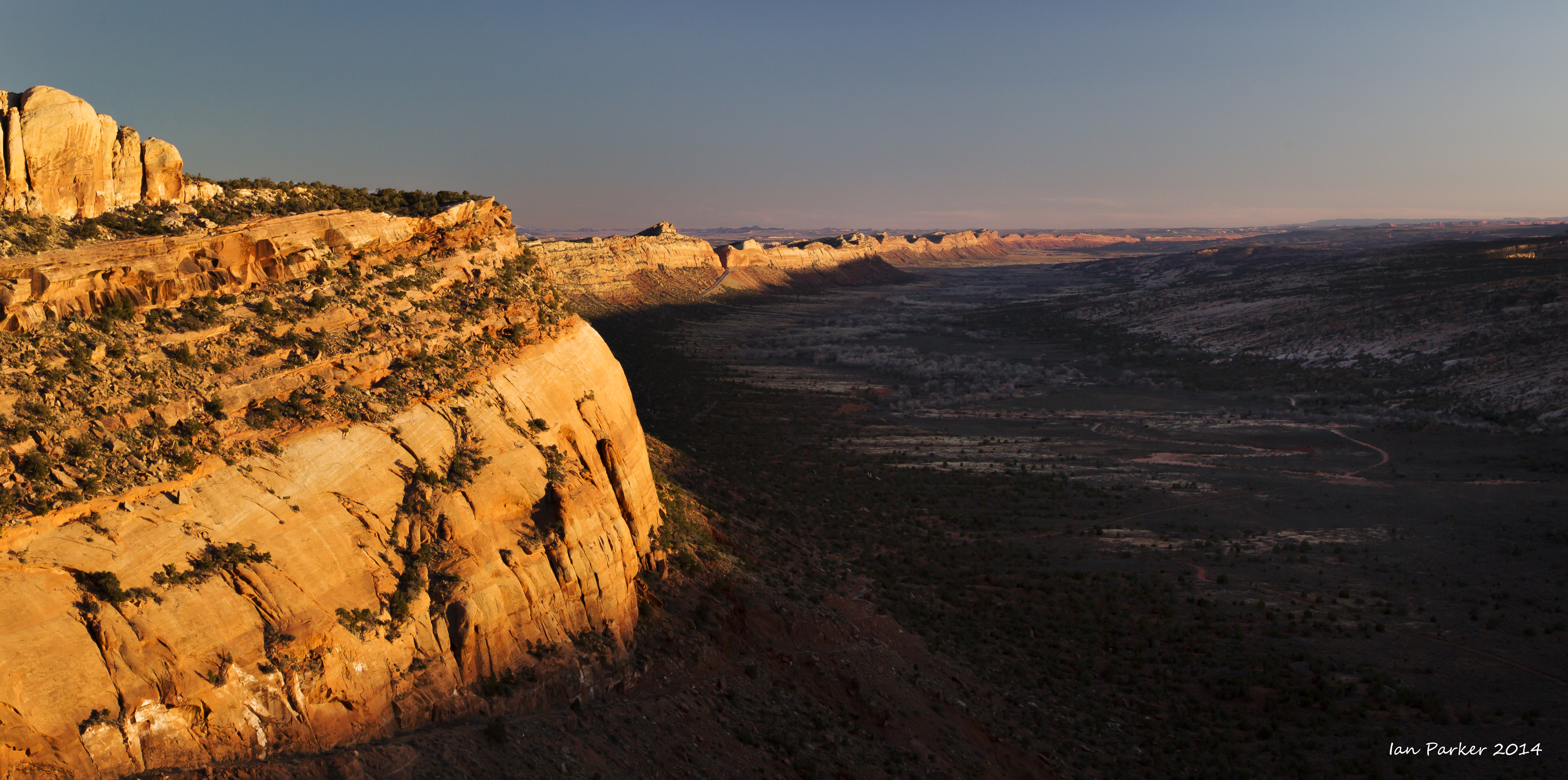
Views from the old road from Blanding to Hite, crossing the northern end of Comb Ridge
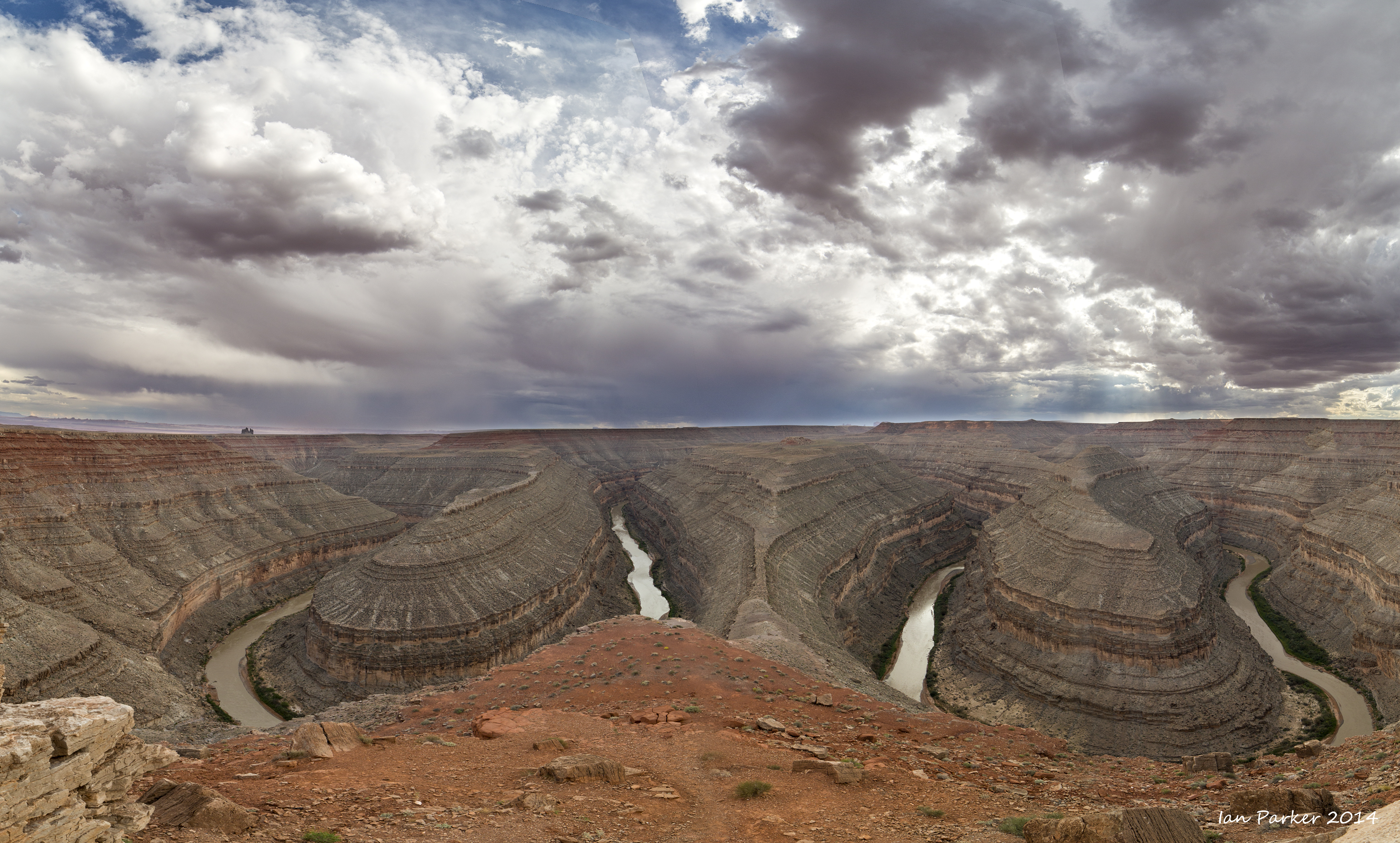
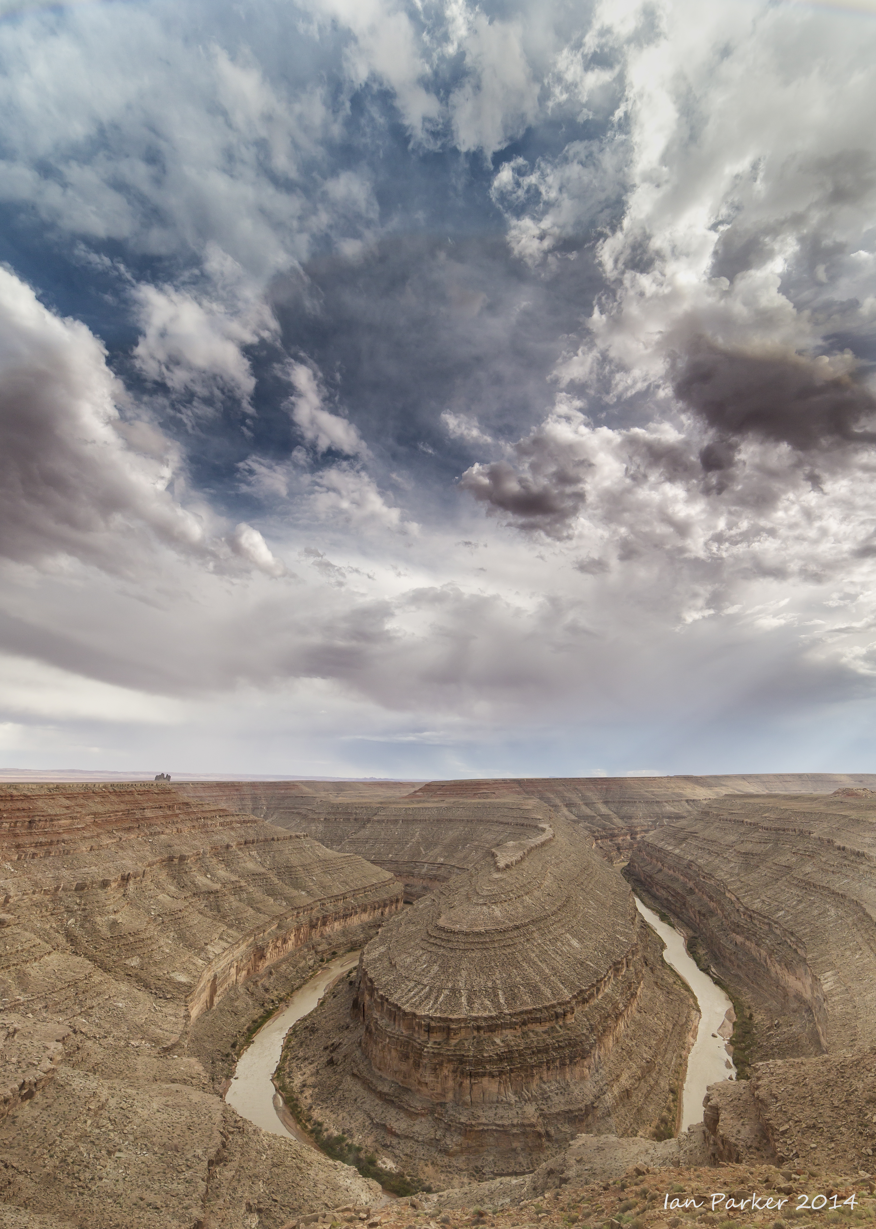
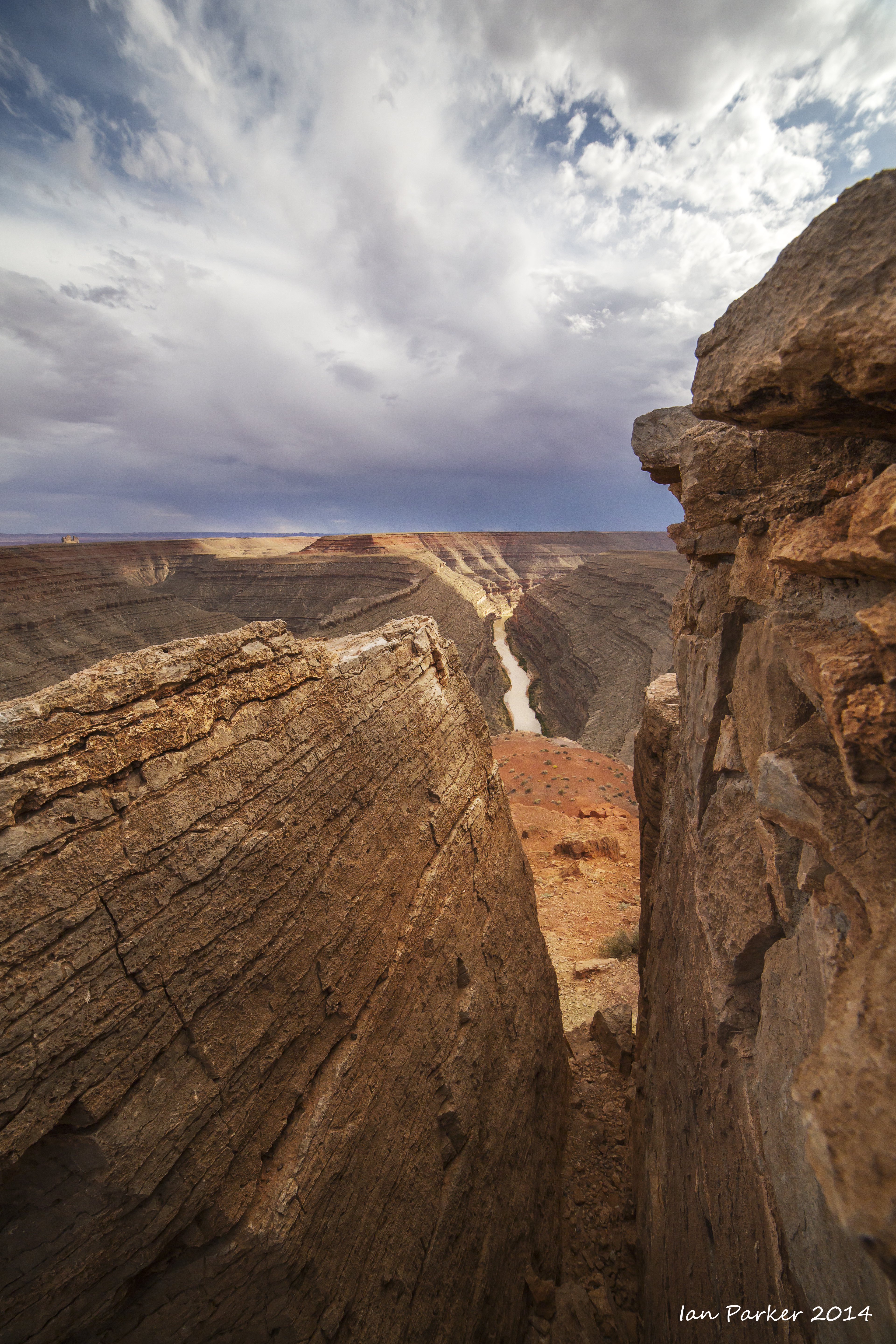
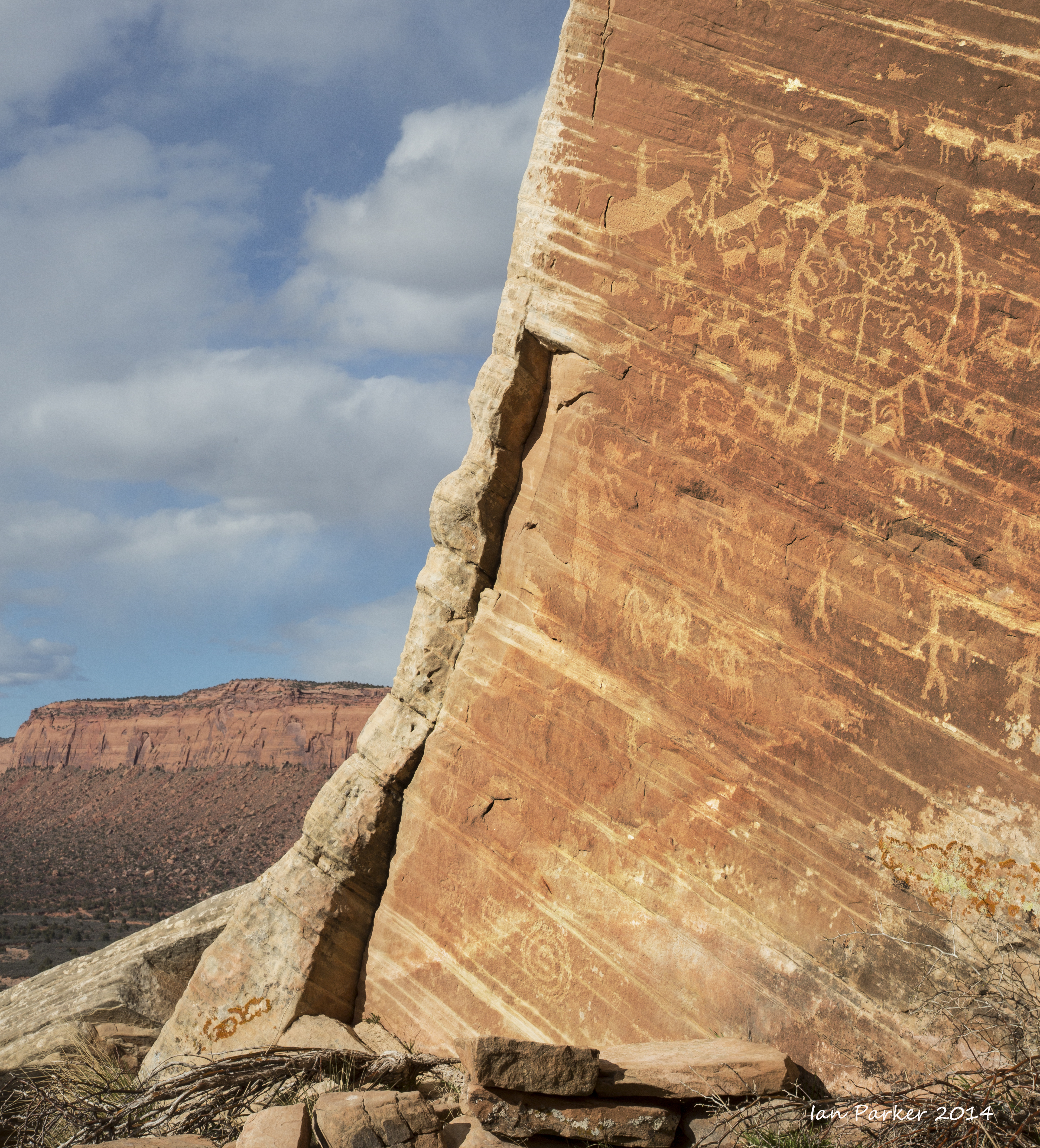
Along Comb Wash and up South Fork of Mule Canyon
On the San Juan River
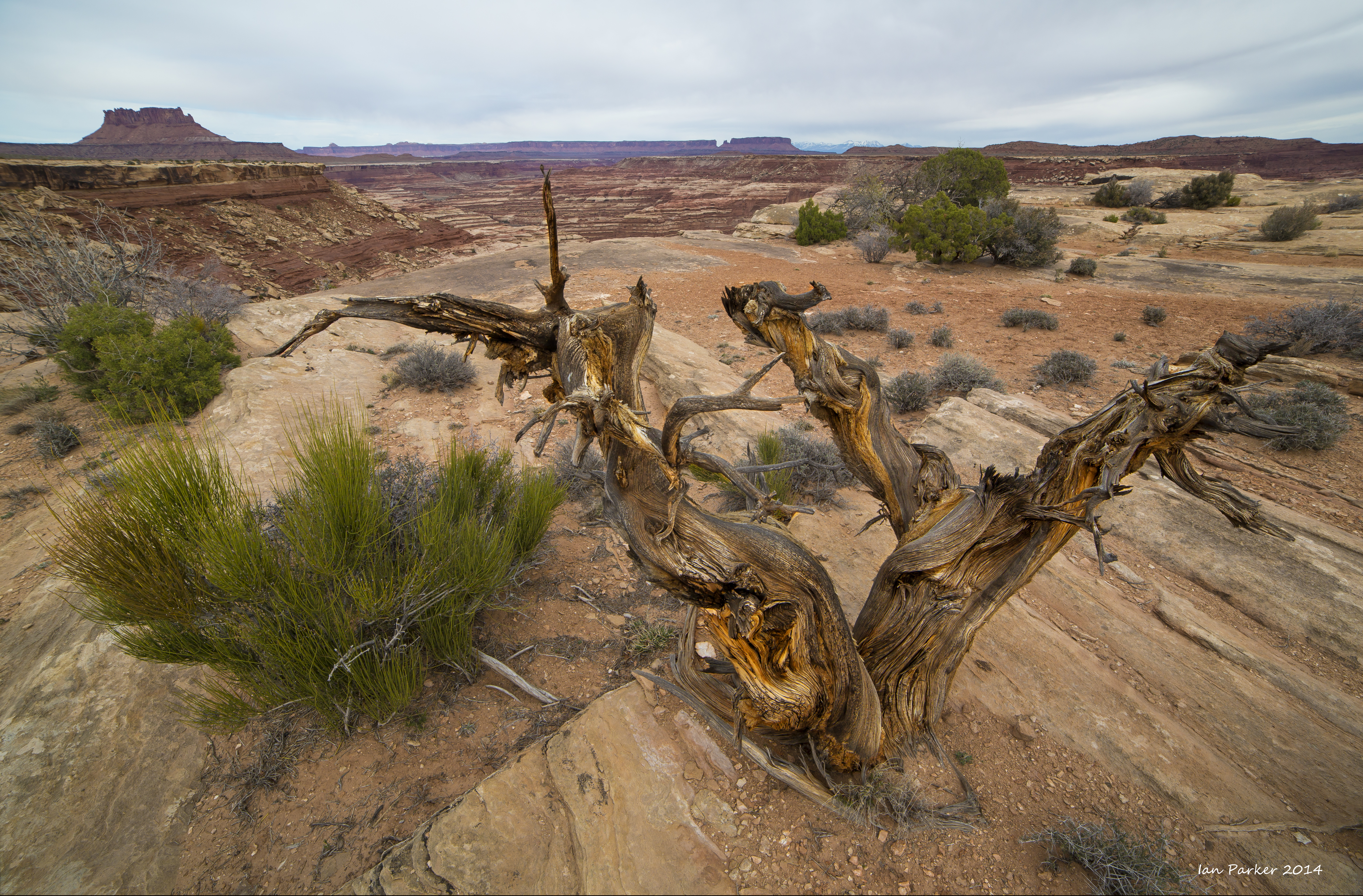
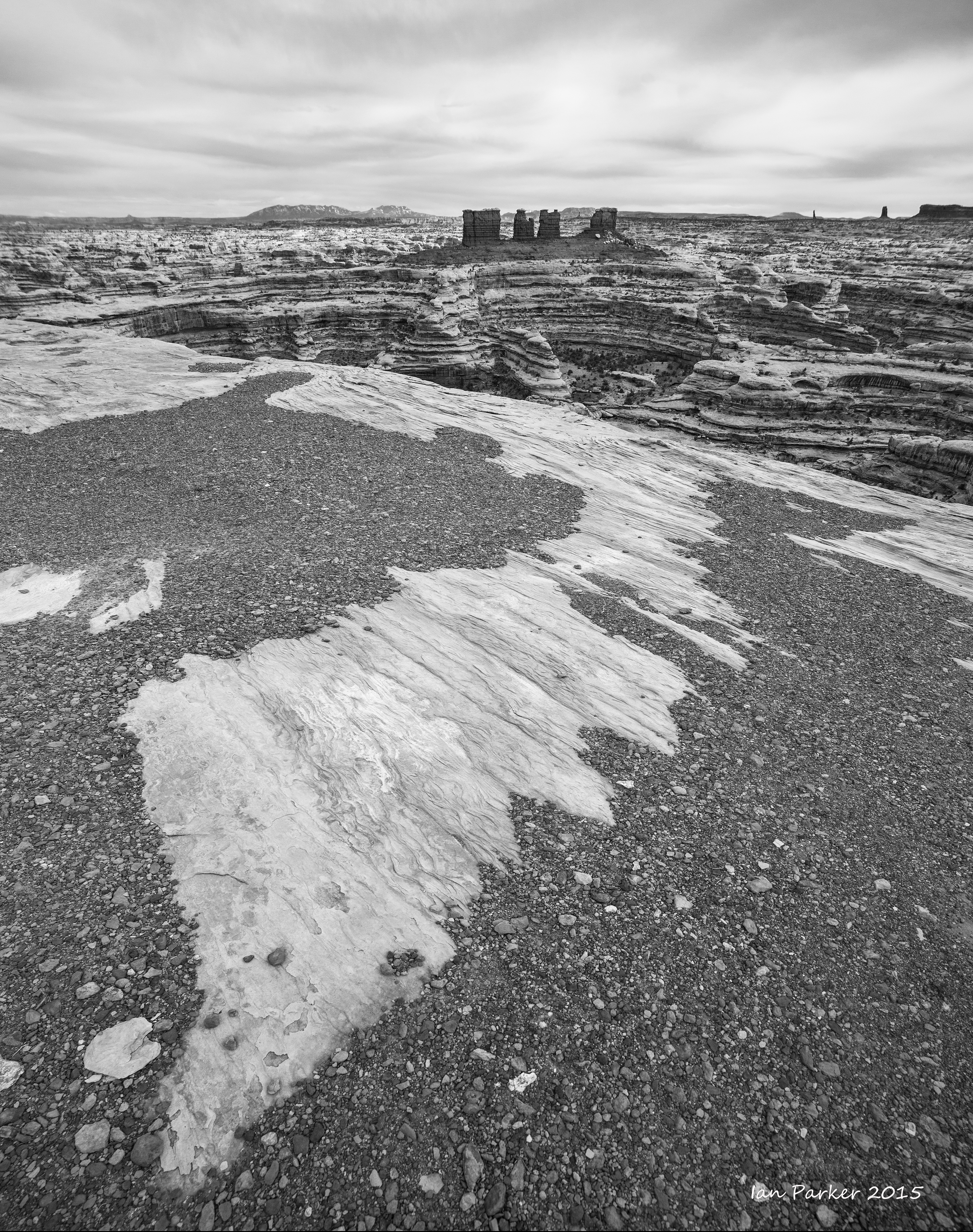
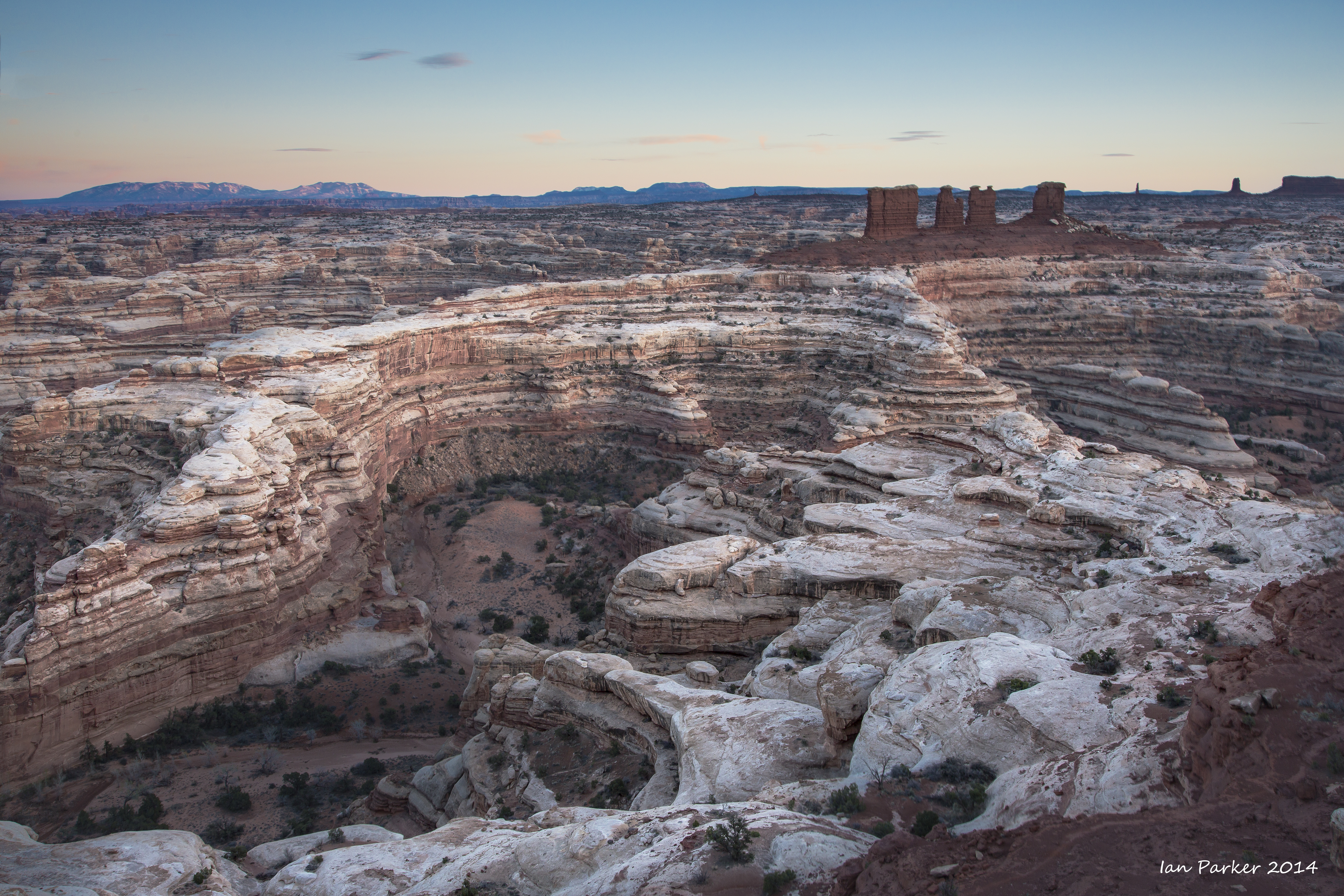
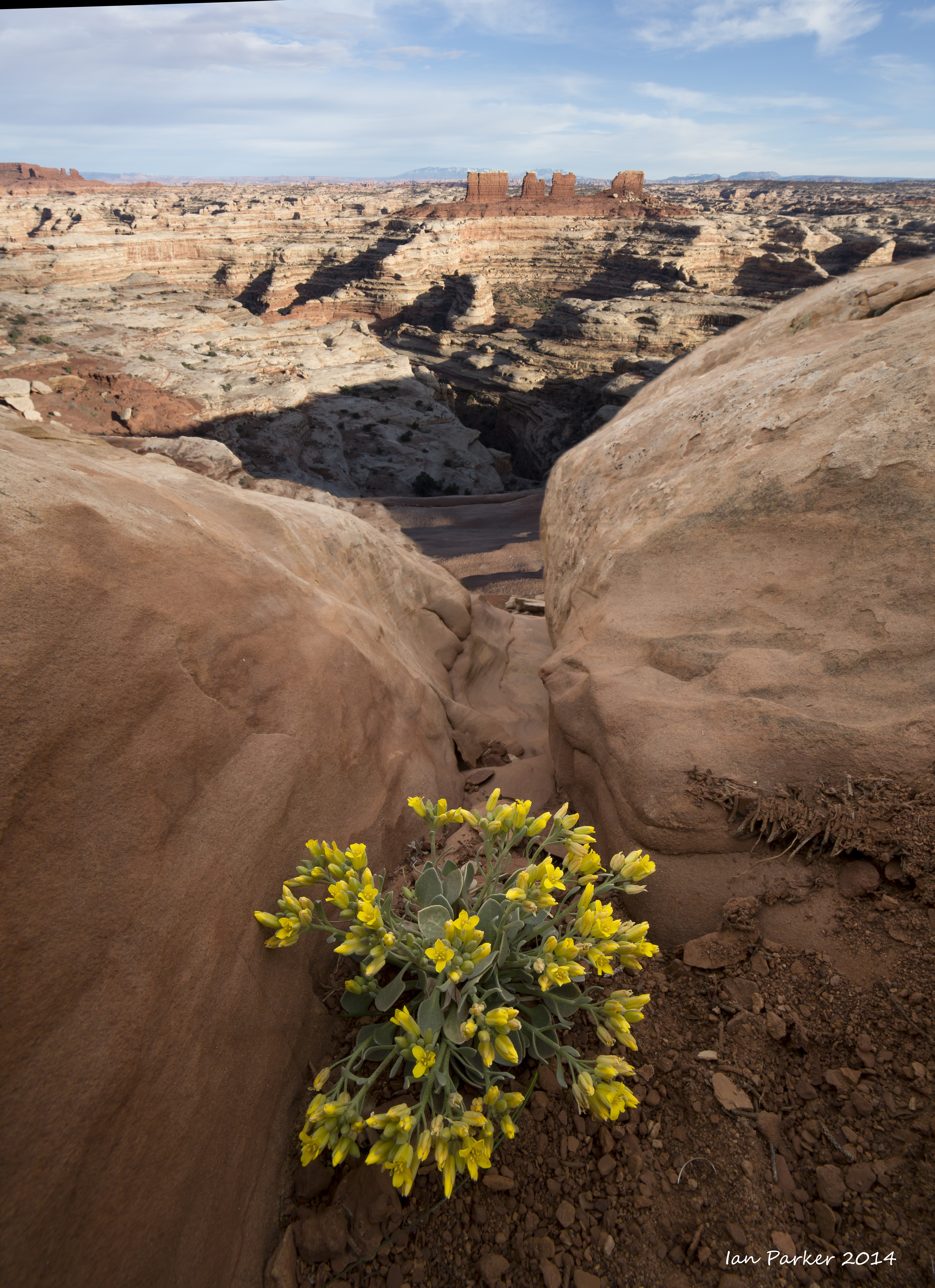
The end of a long, bumpy drive to Maze Overlook: Maze District of Canyonlands National Park
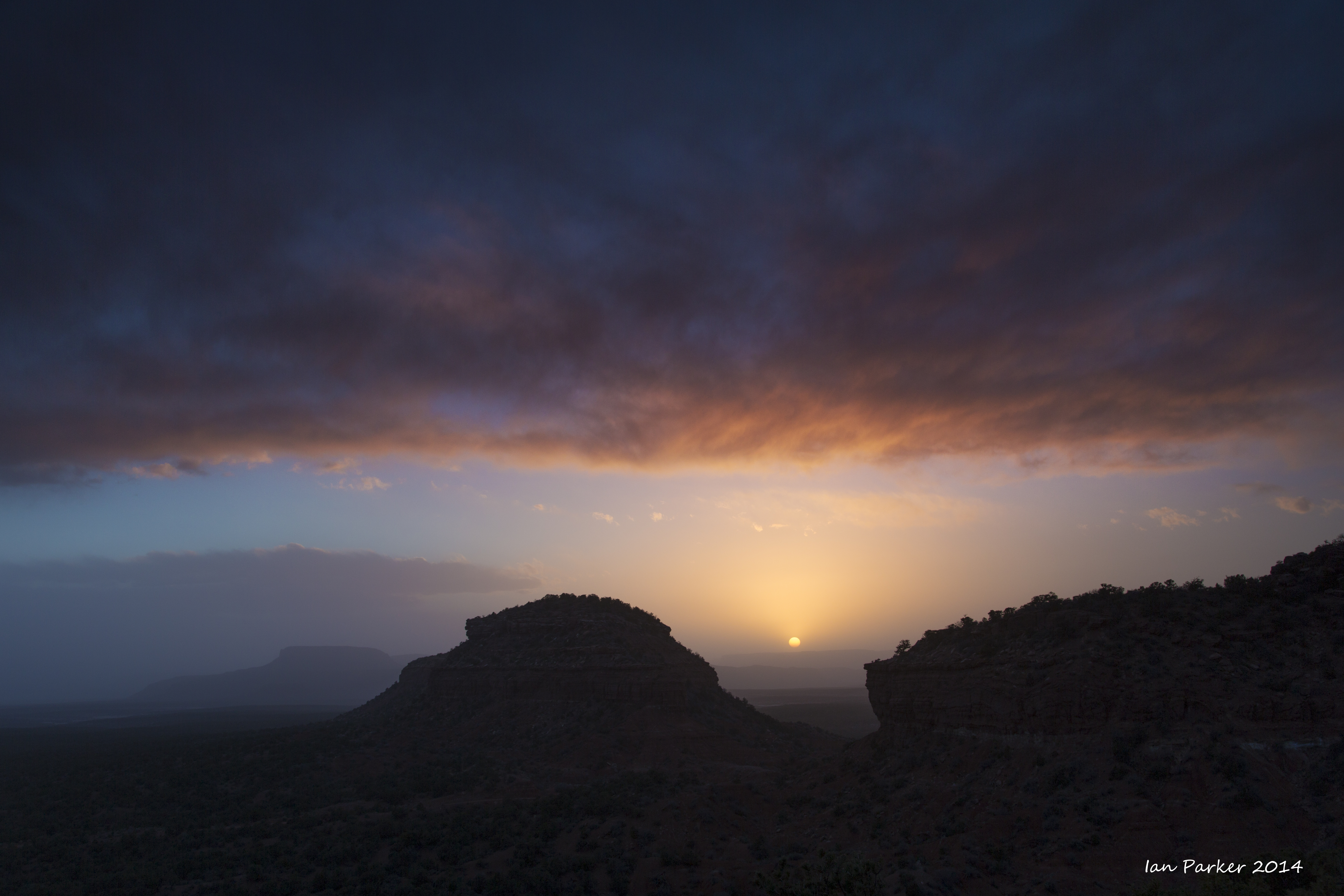
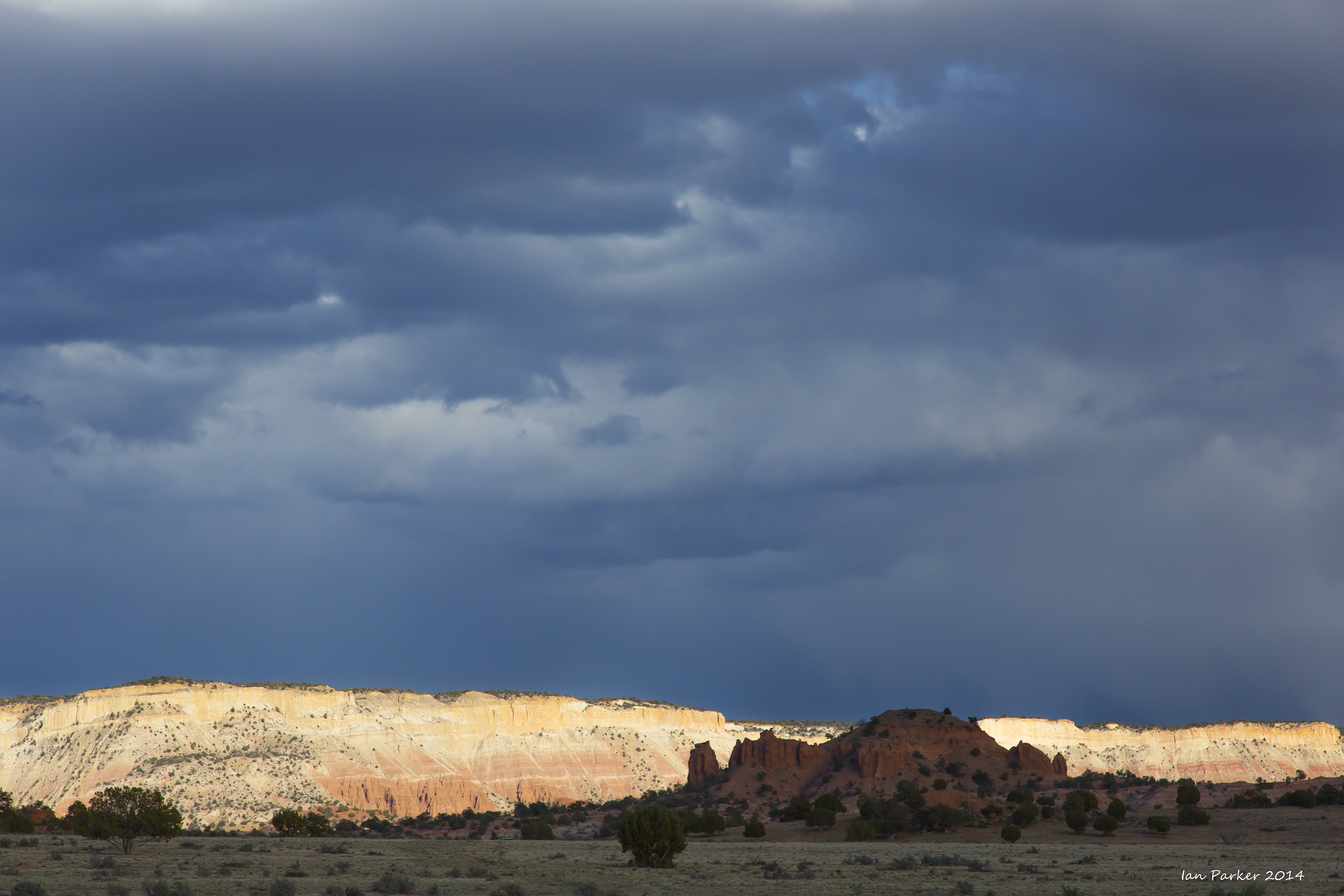
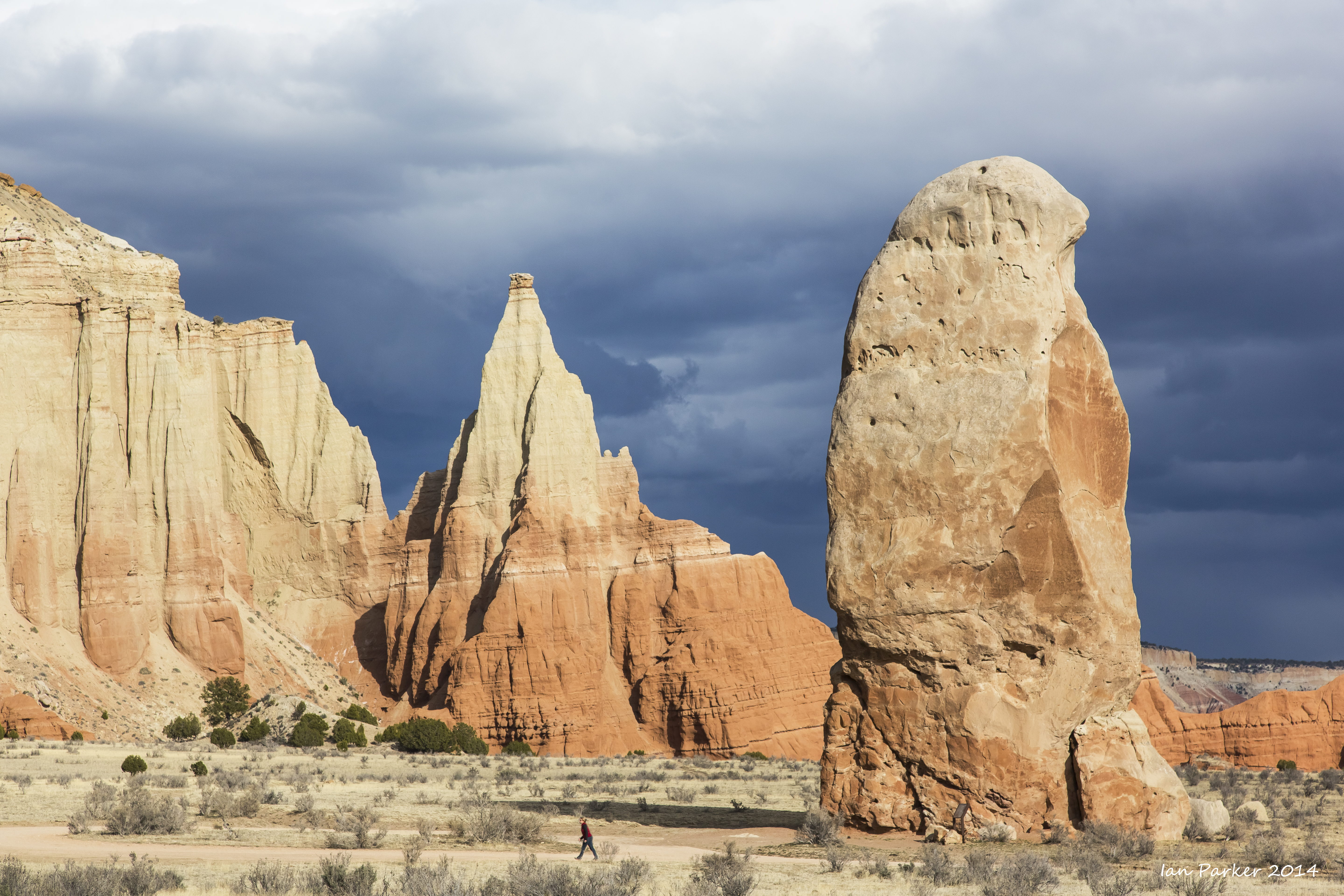
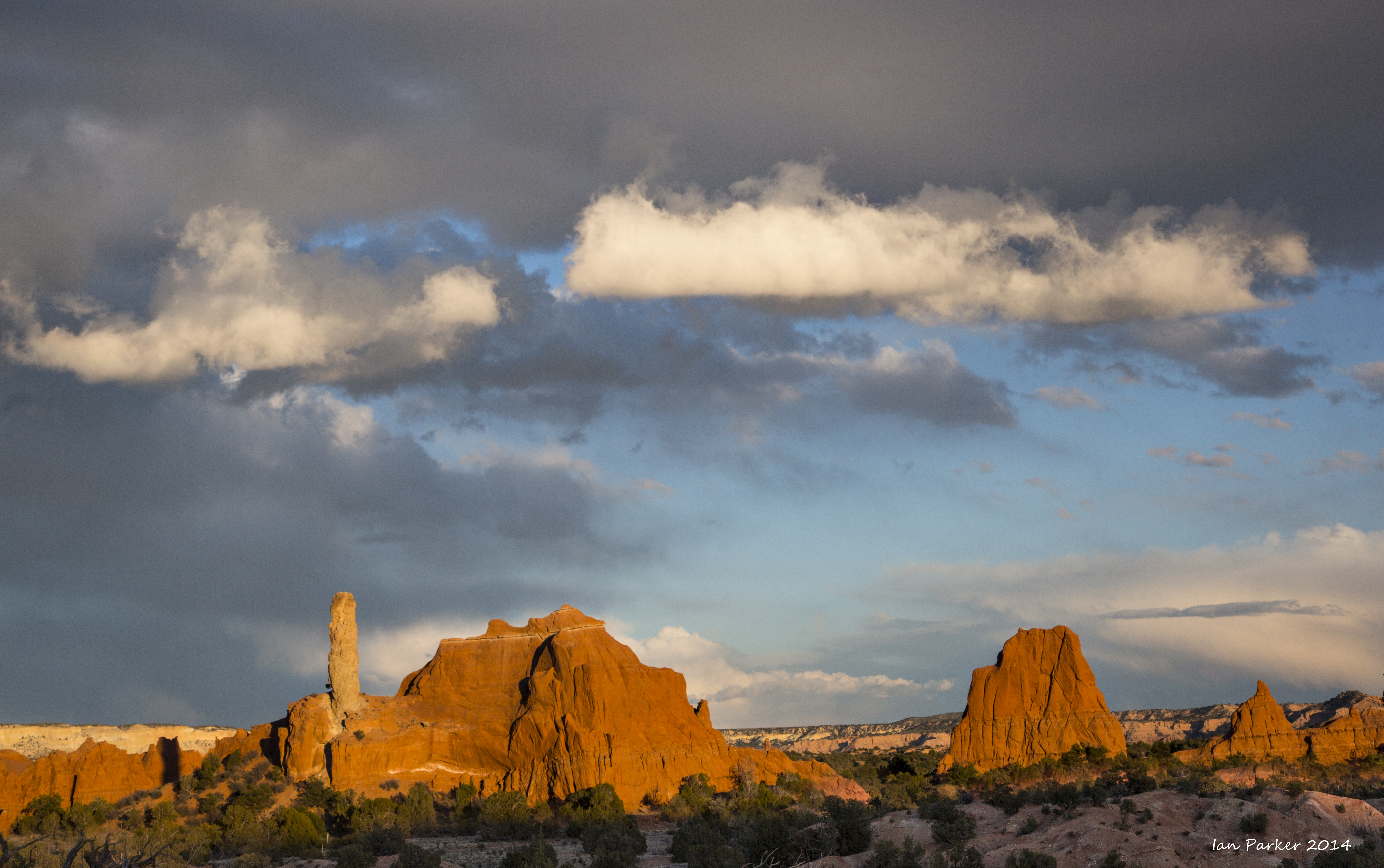
An evening at Kodachrome Basin State Park with nicely dramatic clouds

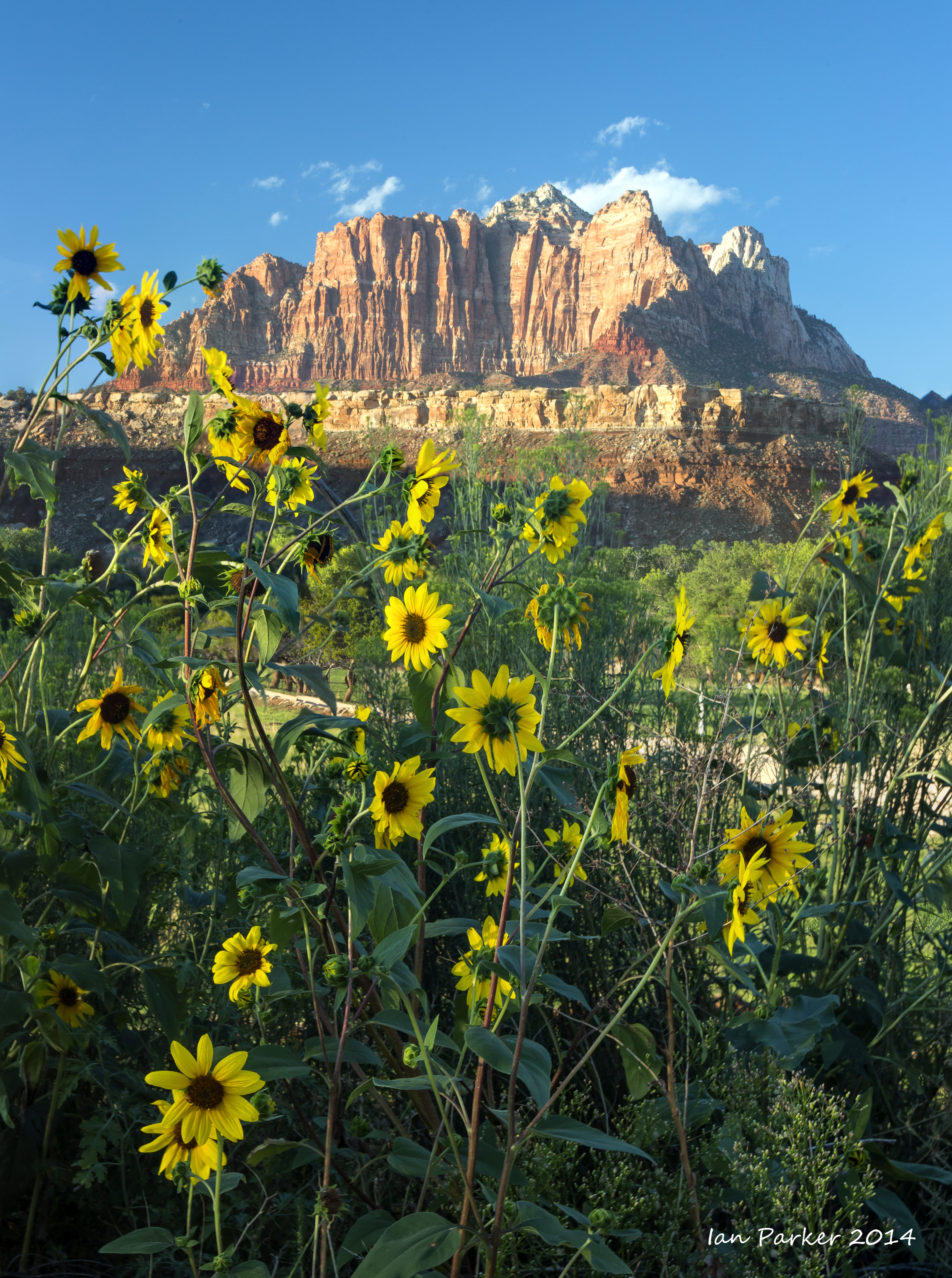
Towers of the Virgin, Zion National Park
Classic sunrise shot from the museum. 60 Mpix stitched vertical panorama. Click on the image above to download full-res jpg file. |
February 1-9
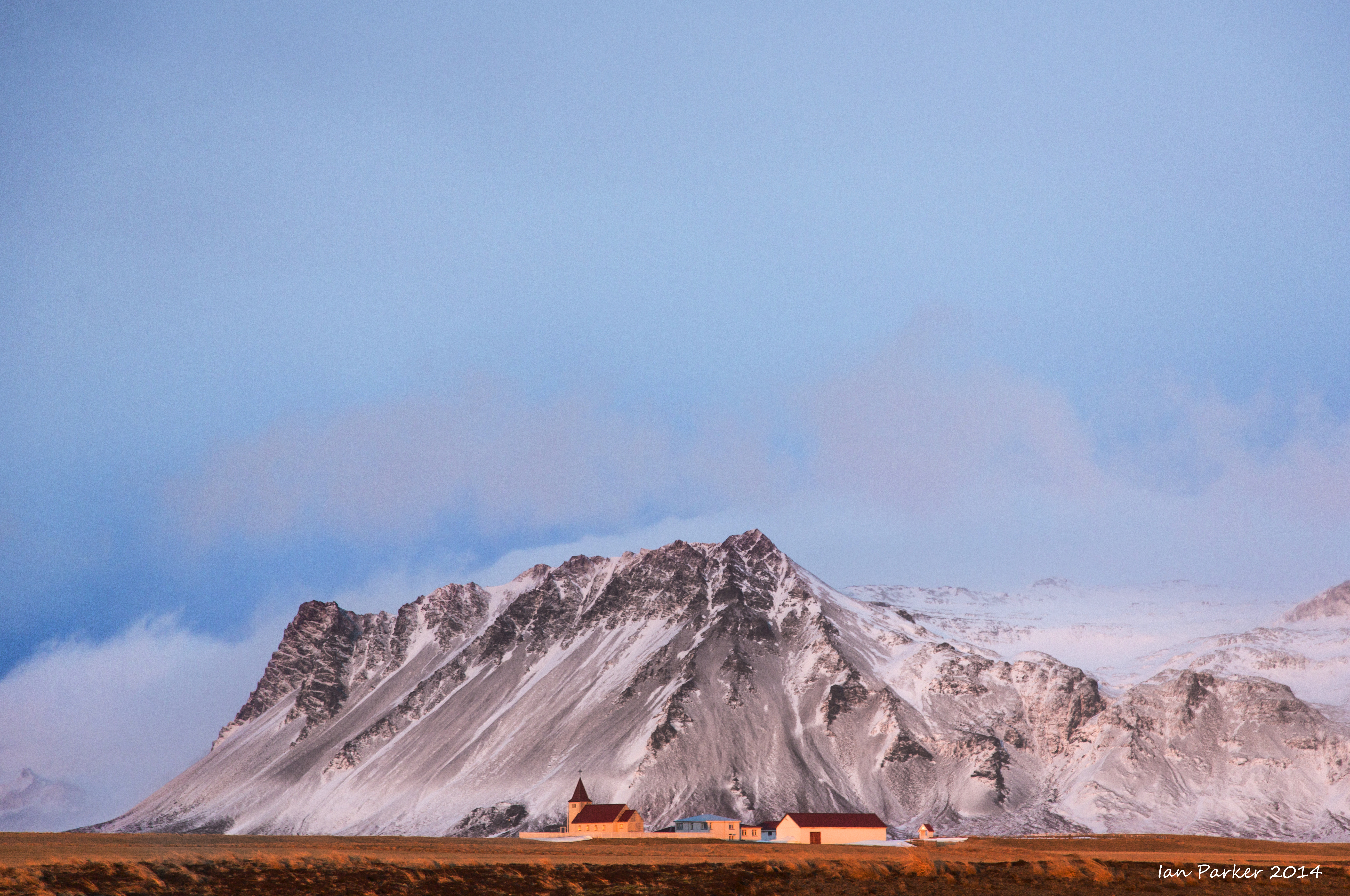
A Winter week in Iceland, hoping for some auroral displays
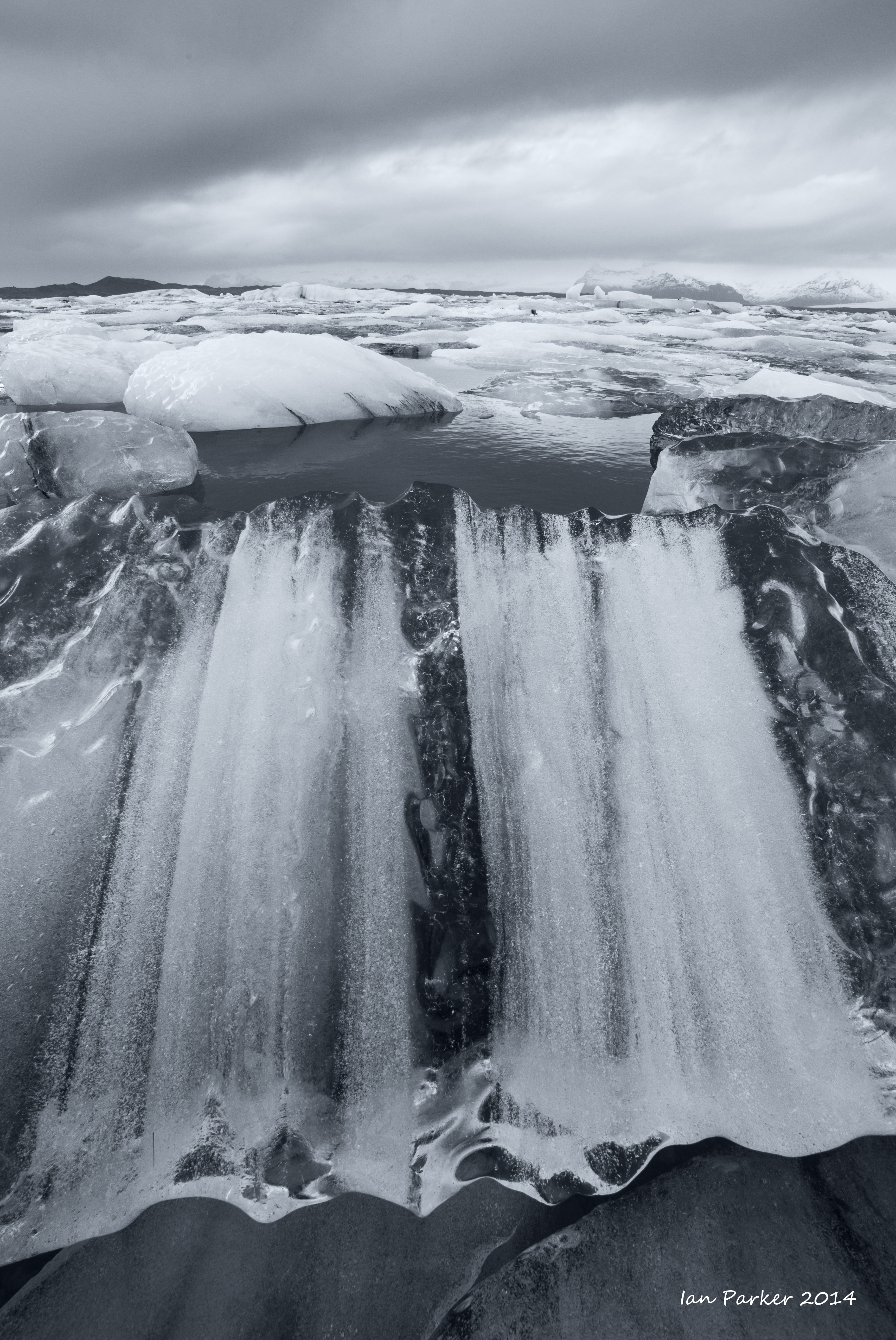
The weather was foul for our first few days. (I know..., what do you expect for Iceland in the middle of Winter?) But, it was distinctly worse than our previous Winter visits, with frequent rain and gale-force winds blowing waterfalls sideways and bringing high surf . Continuous cloud cover obviated any chance of seeing aurorae, although the solar activity was forecast quite high. The six photos below were converted to black/white, but the light was so monochromatic grey it did not make much difference.
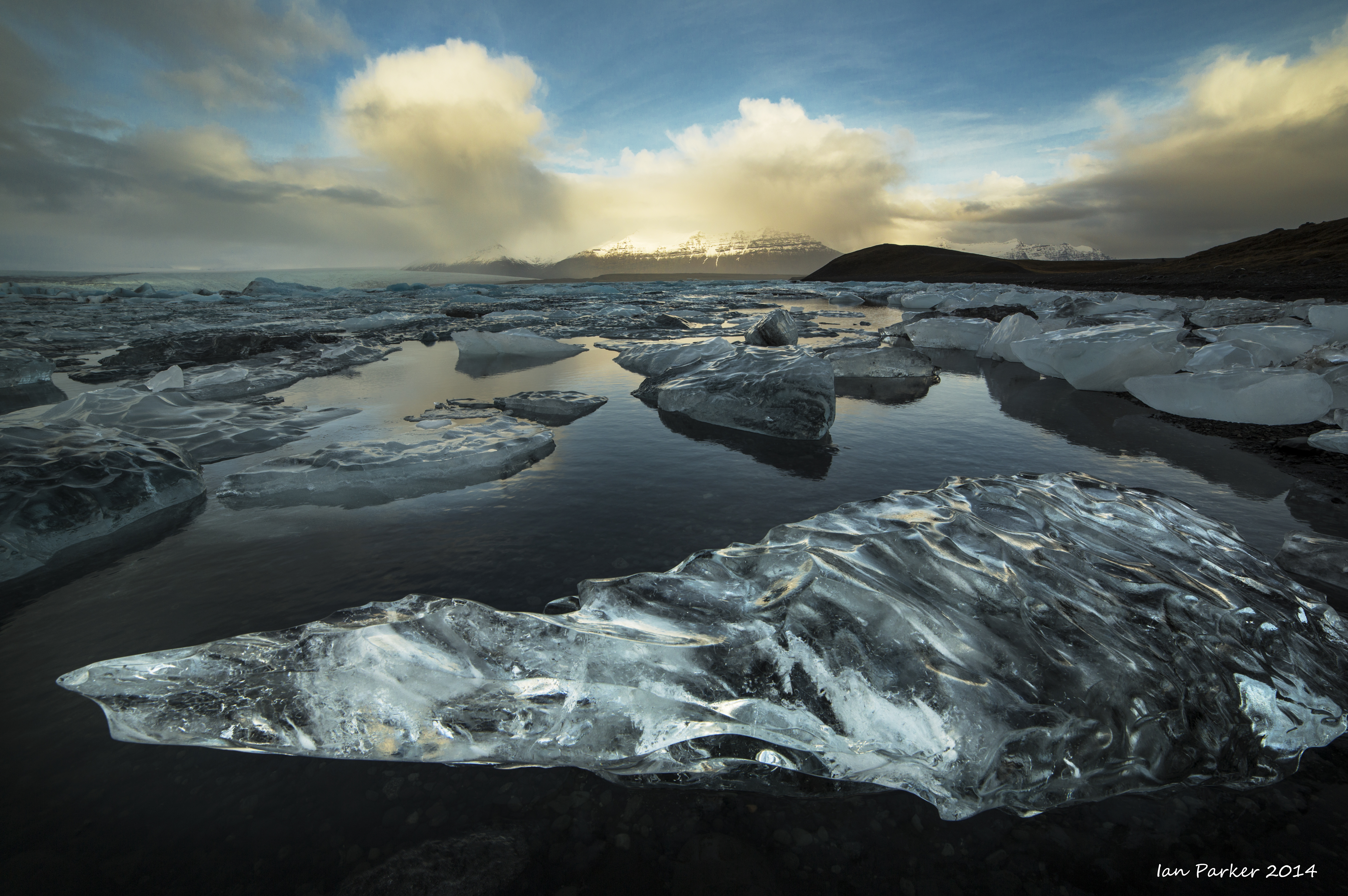
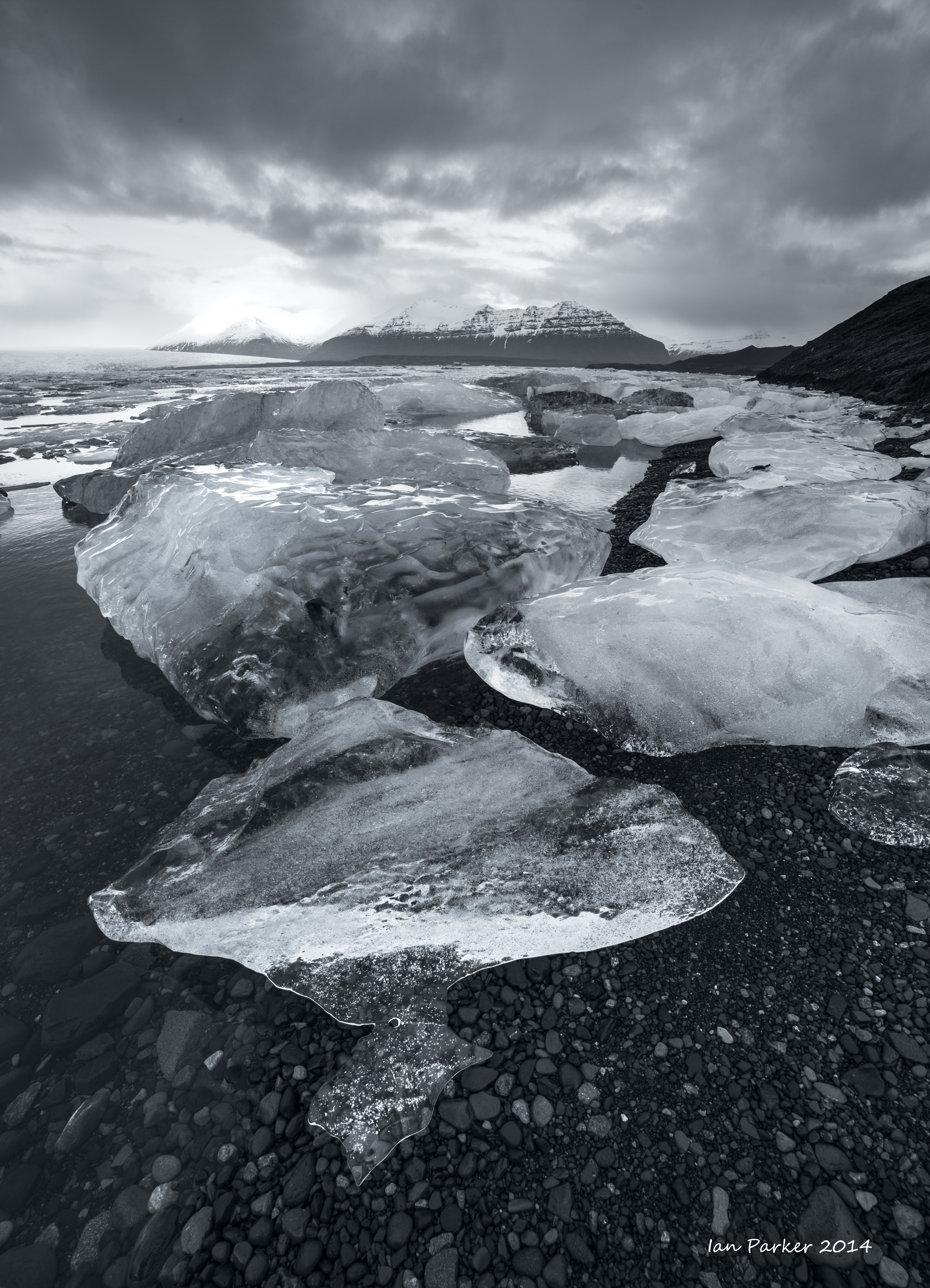
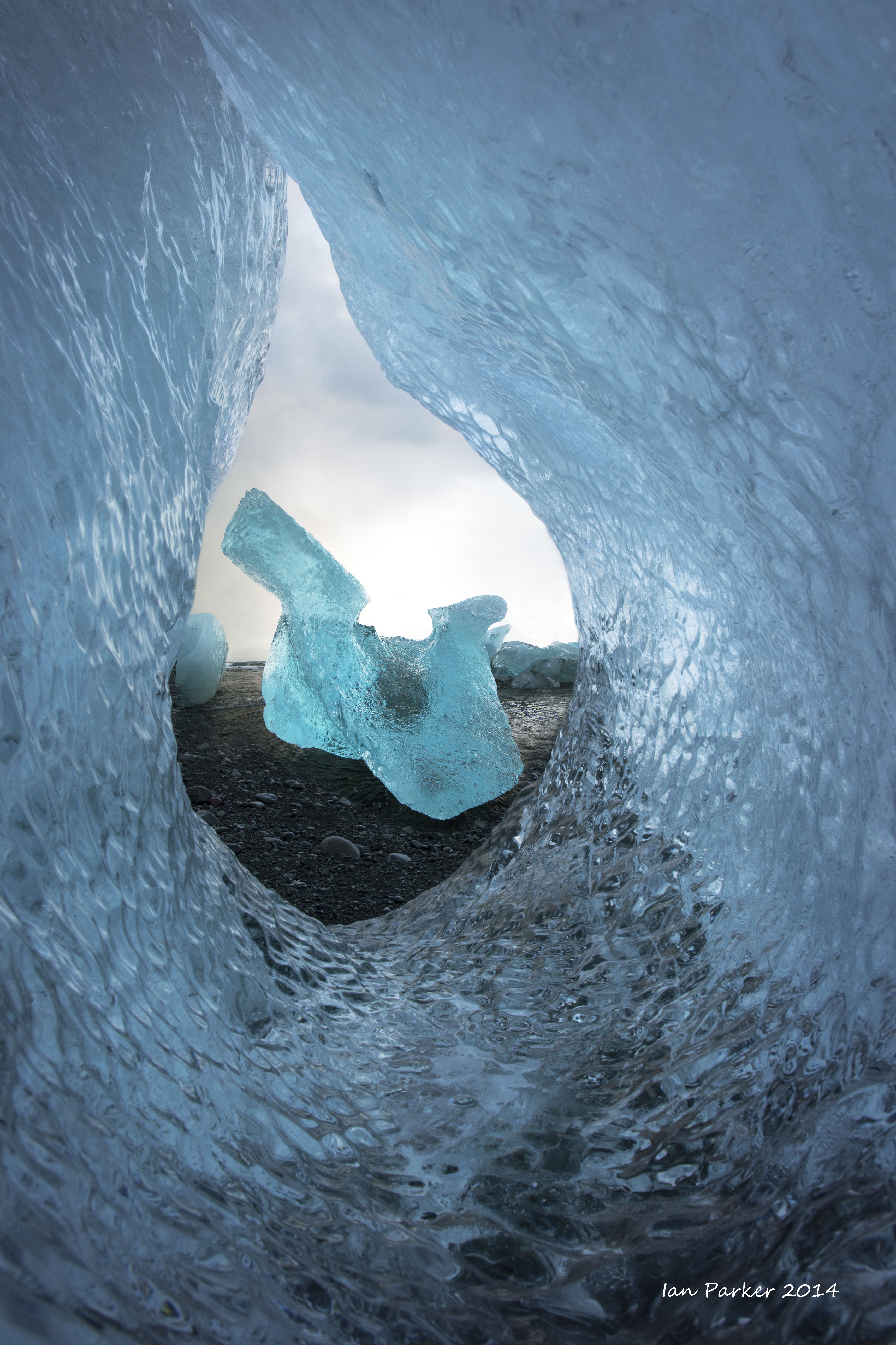
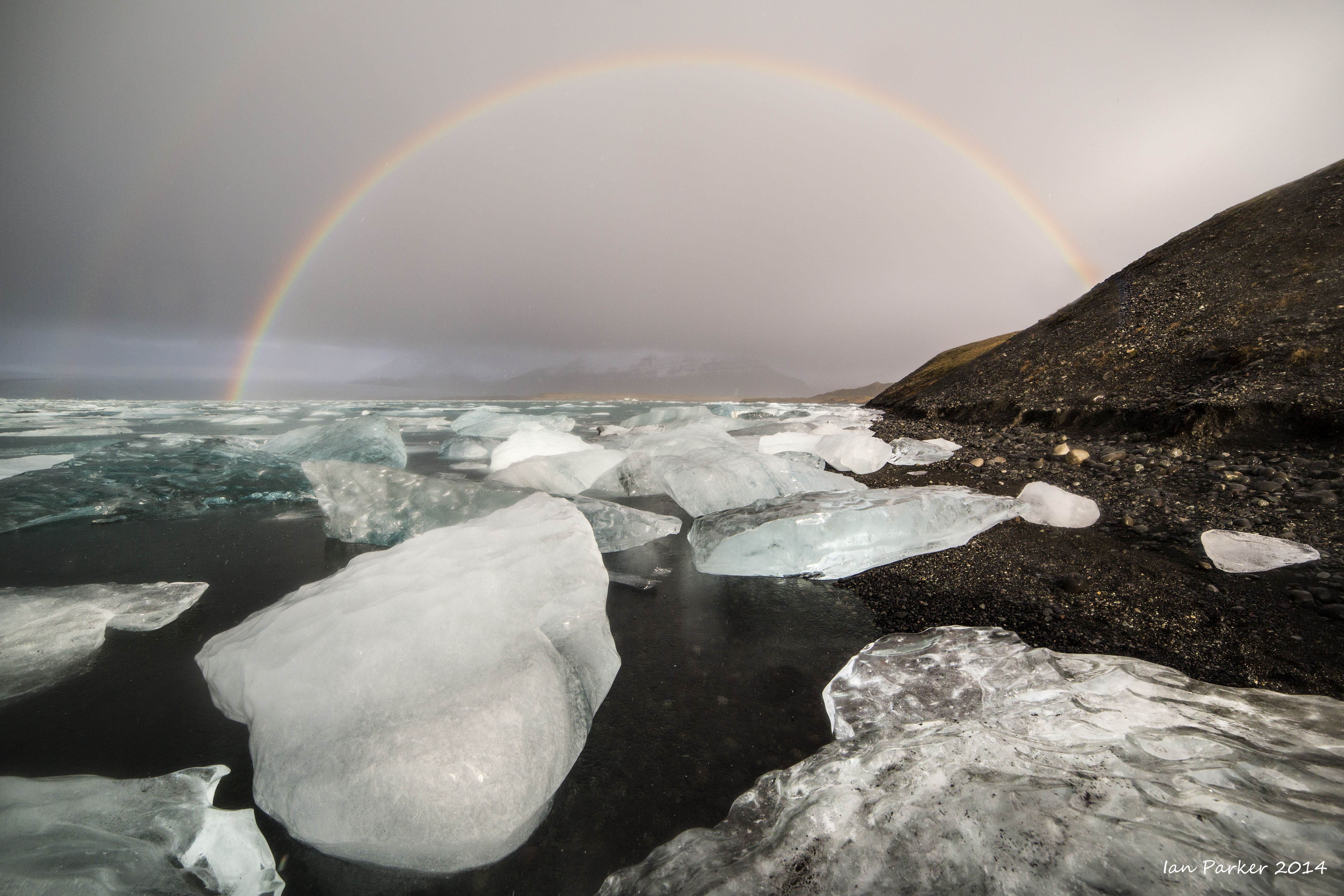
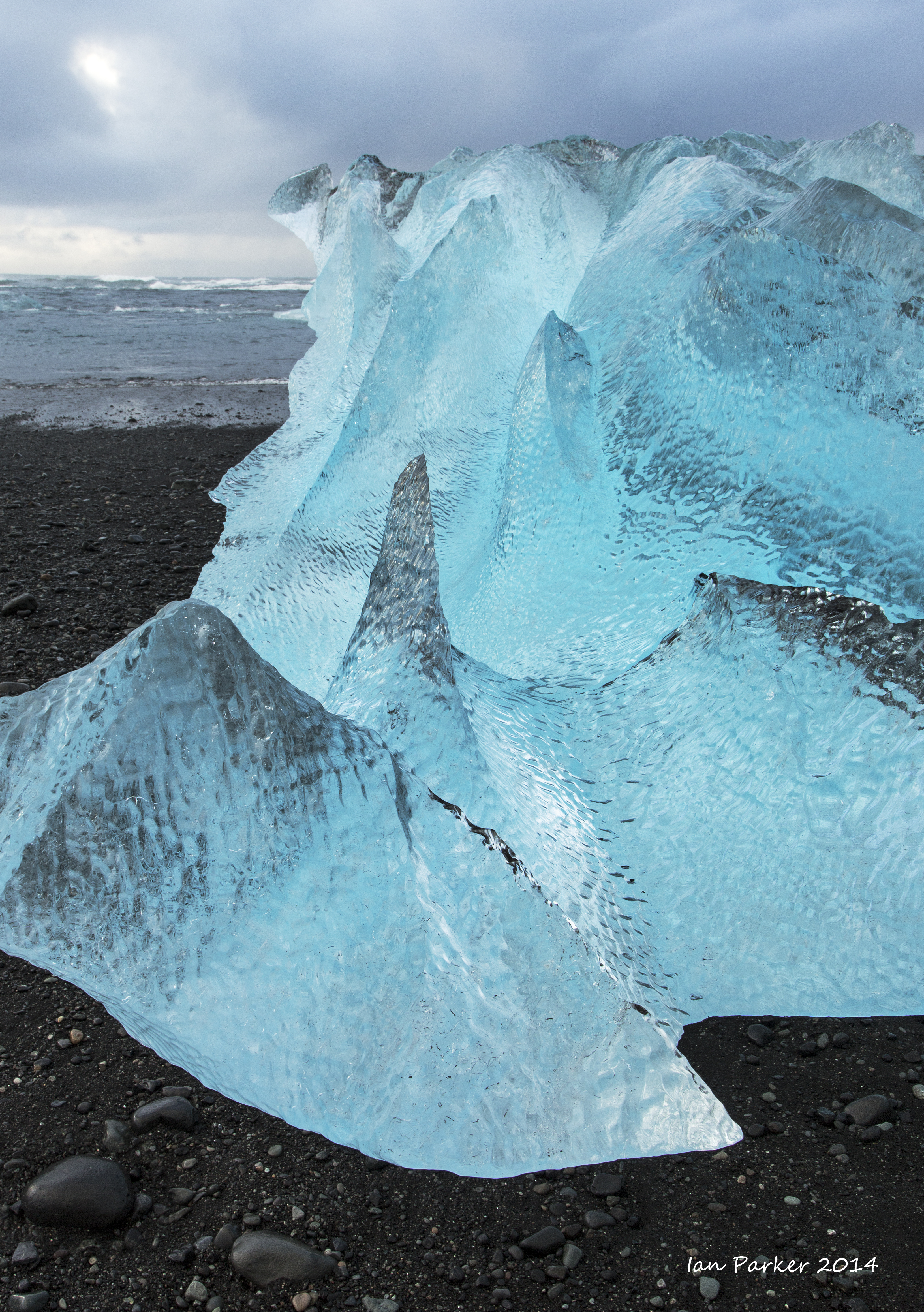
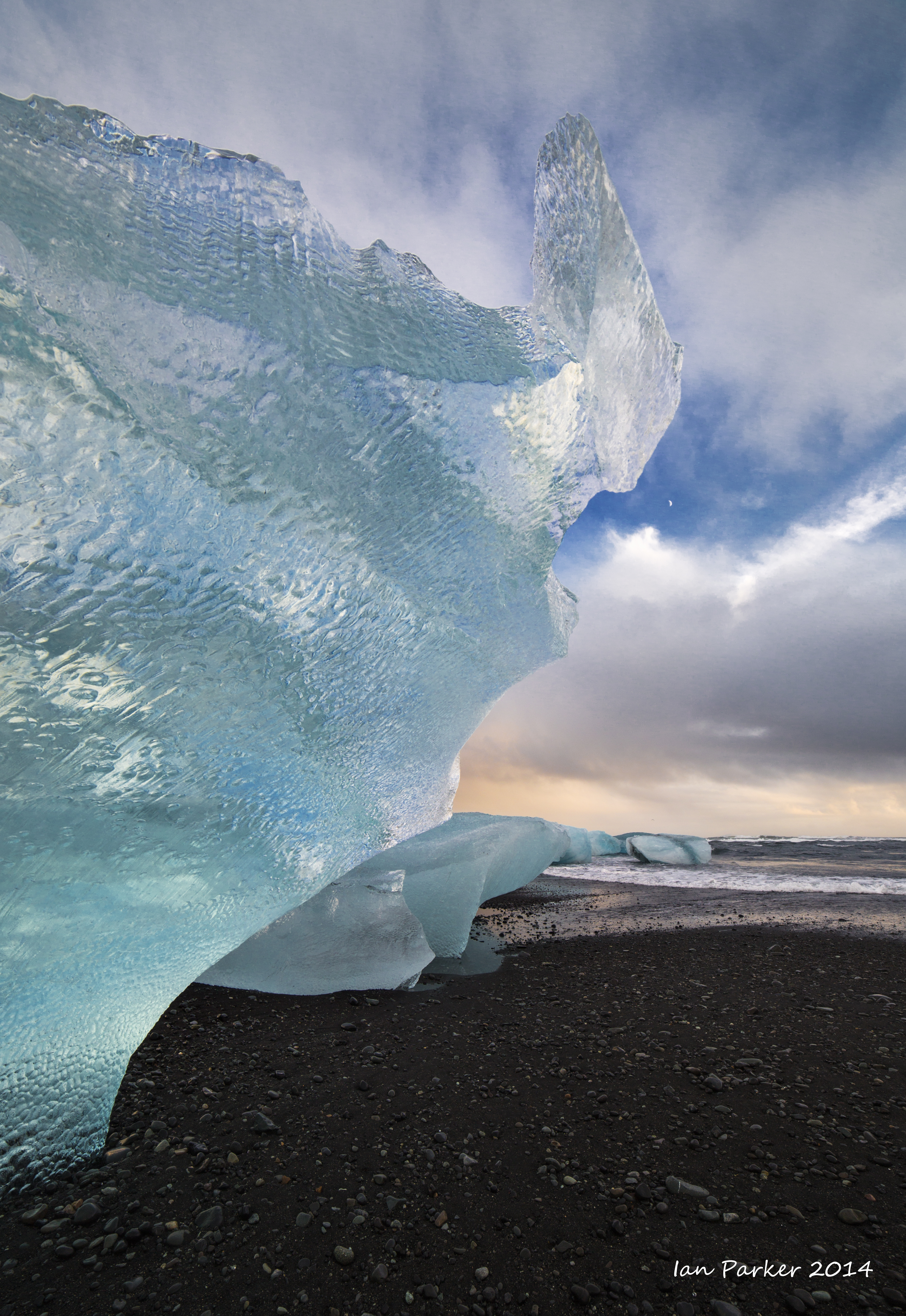
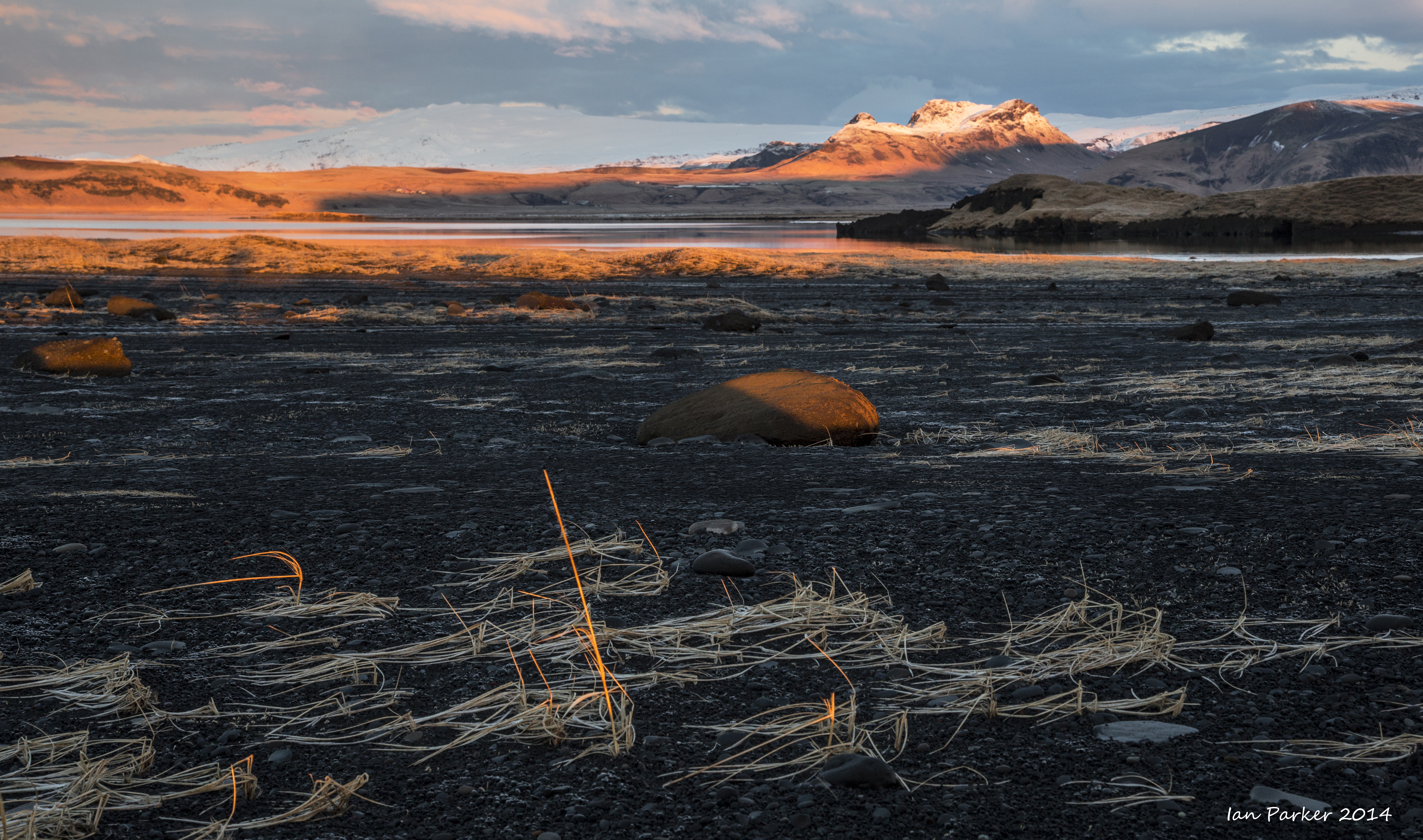
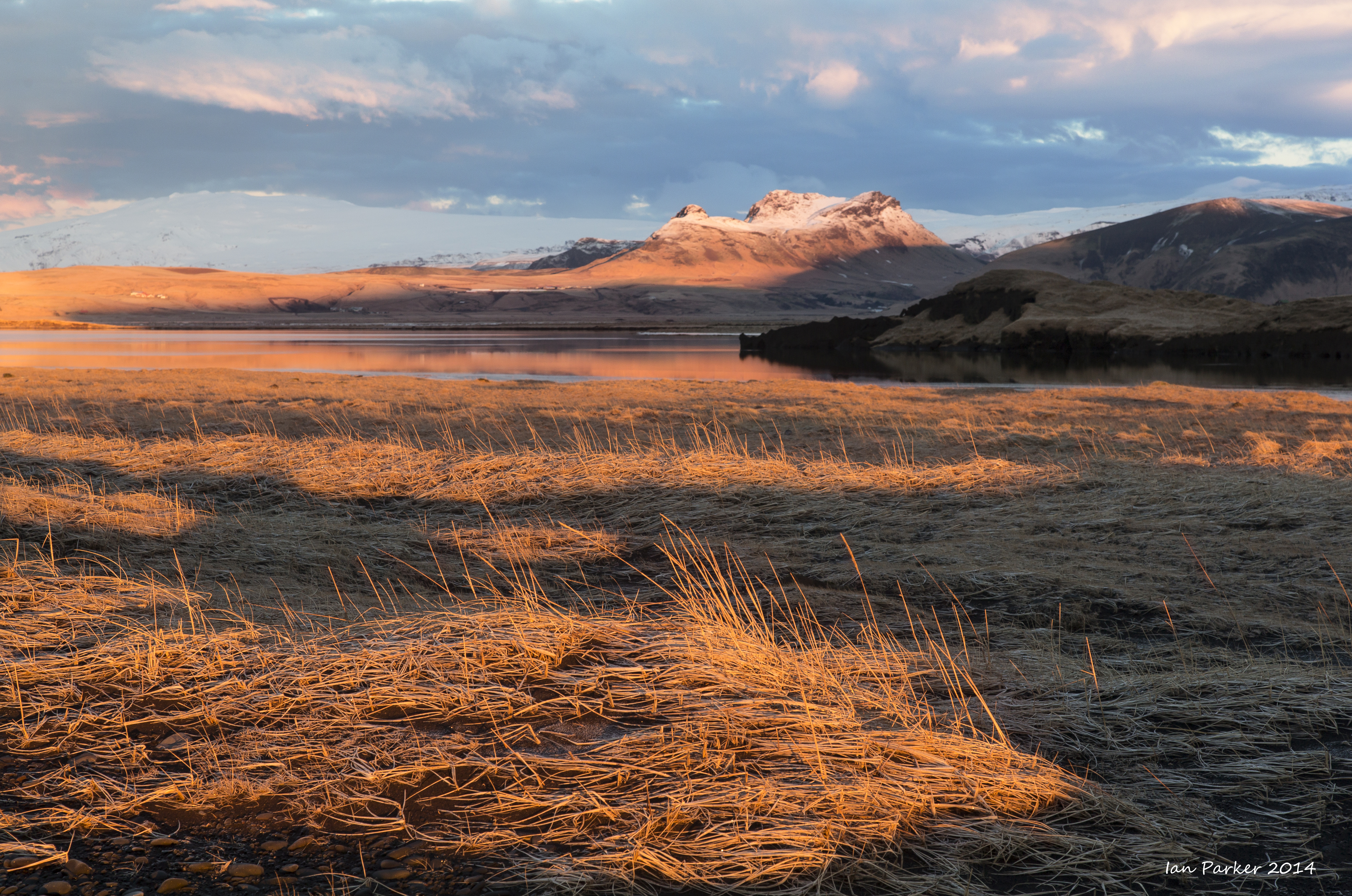
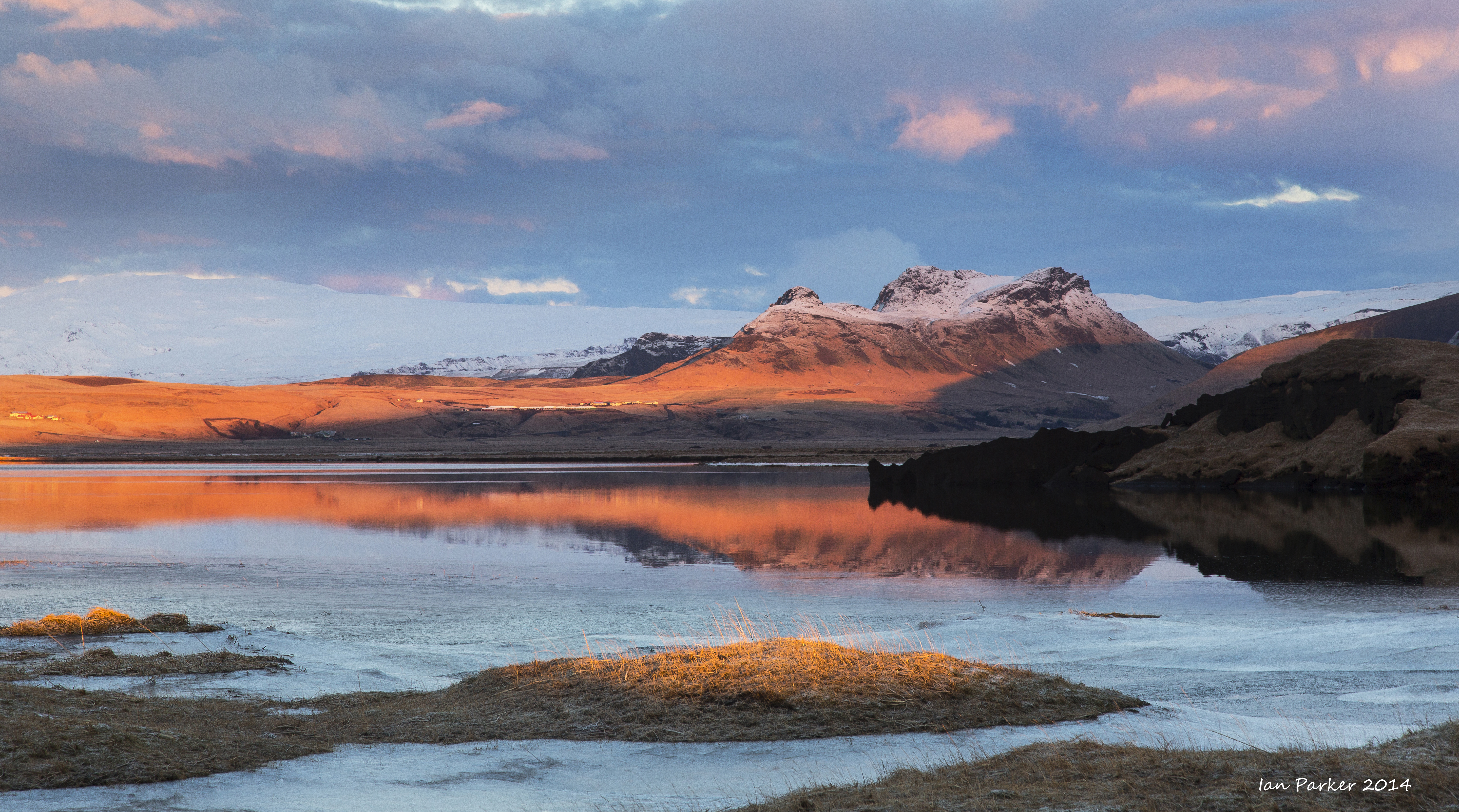
By the middle of the week the weather had started to improve.
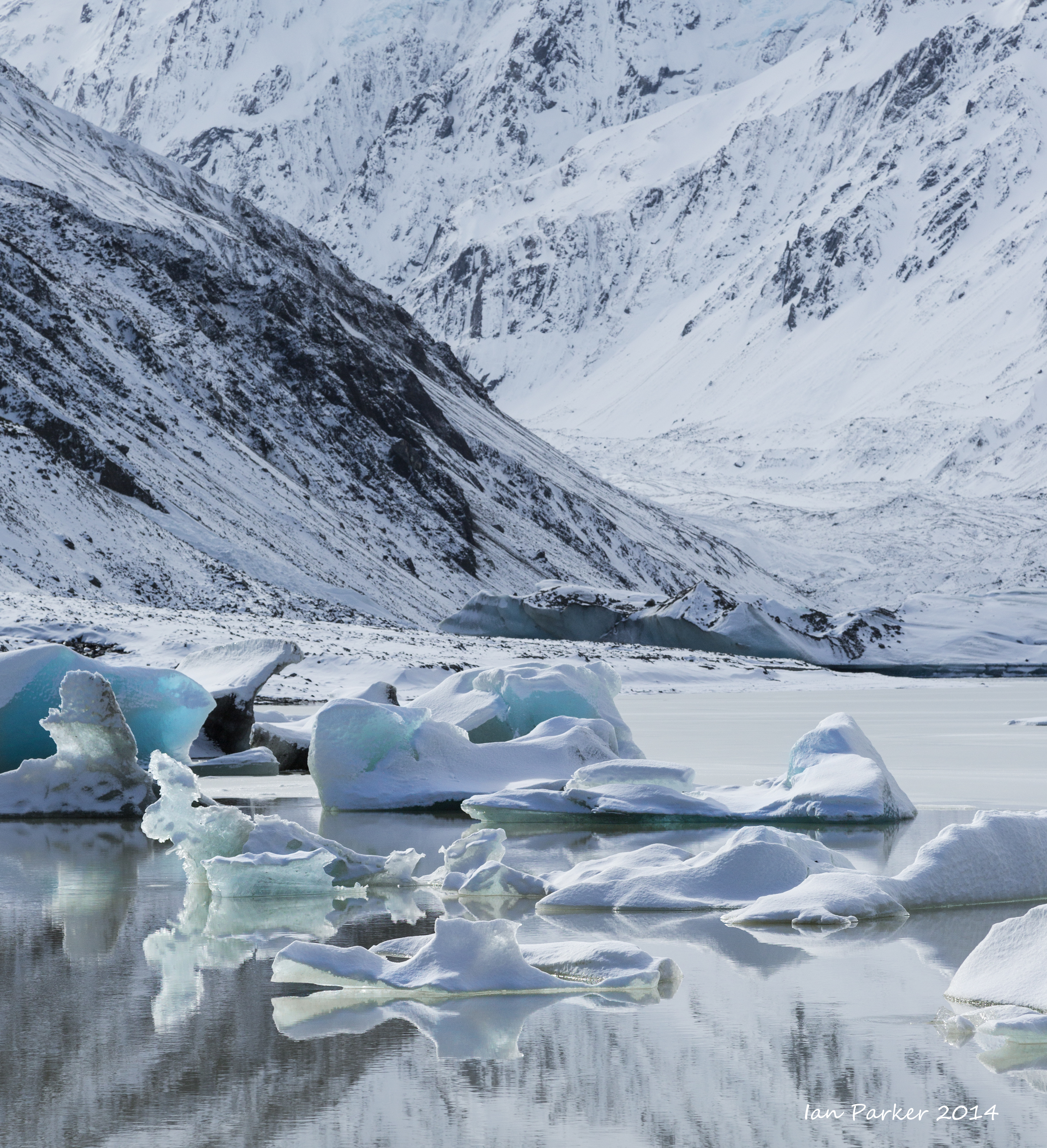
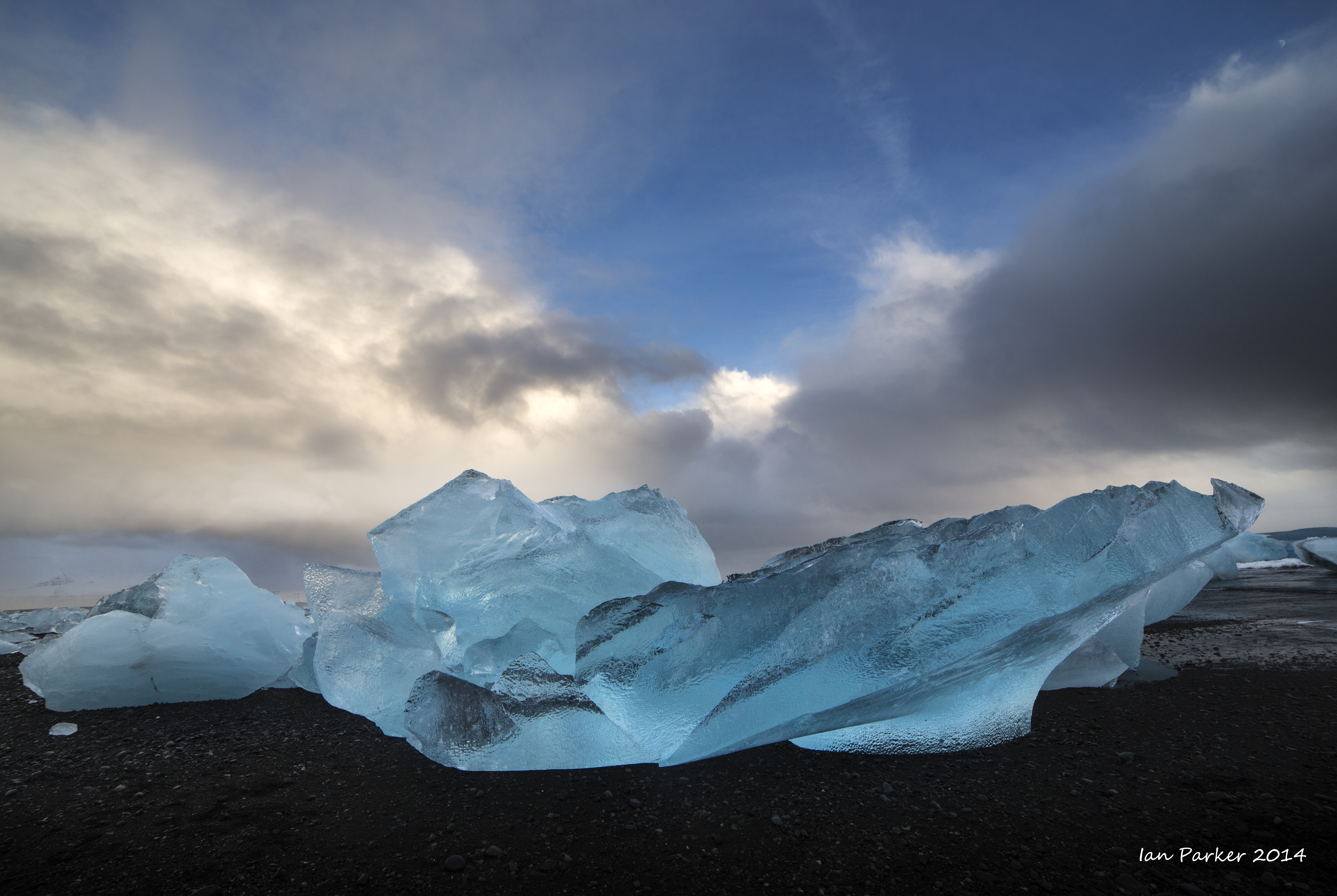
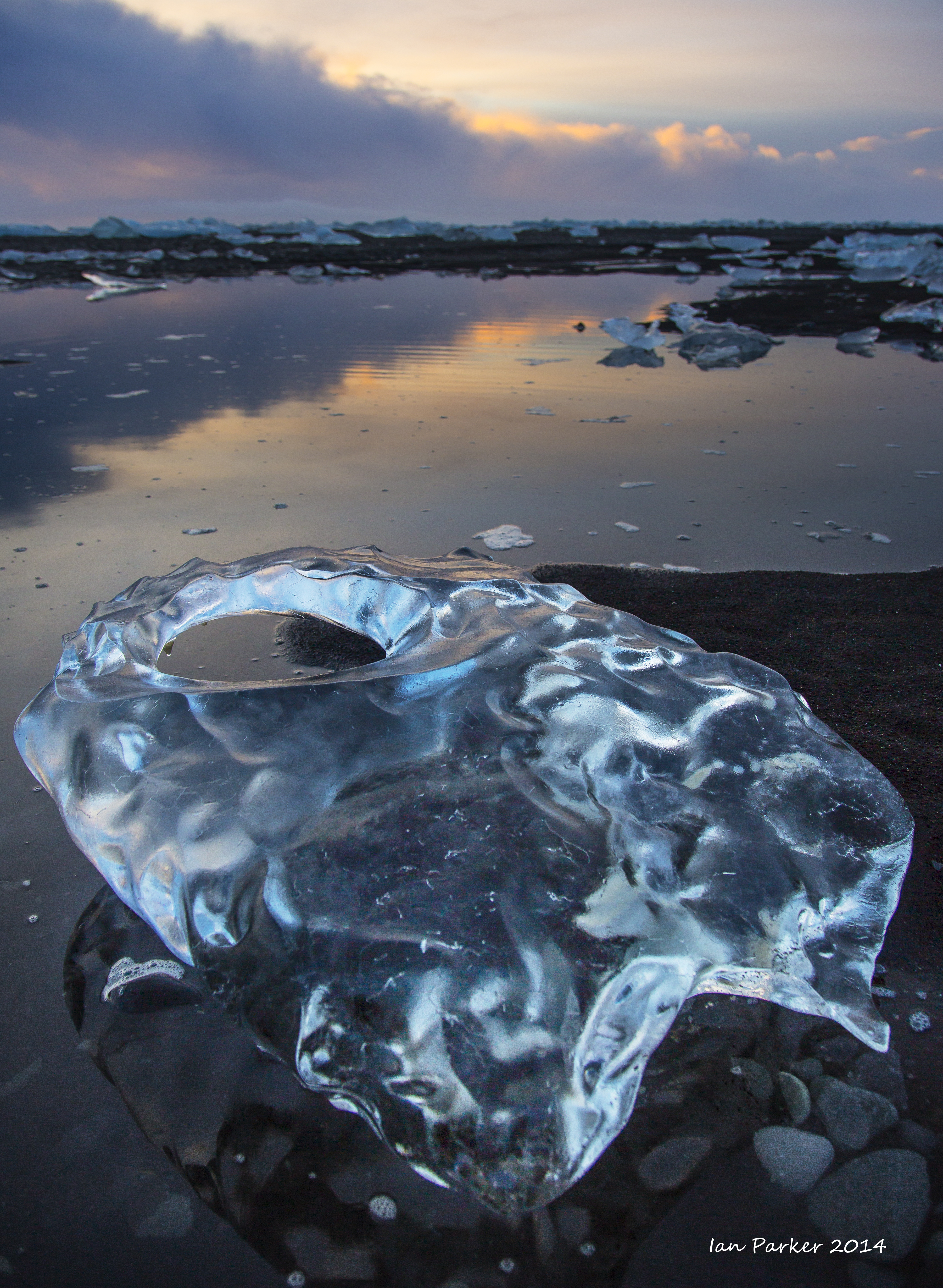
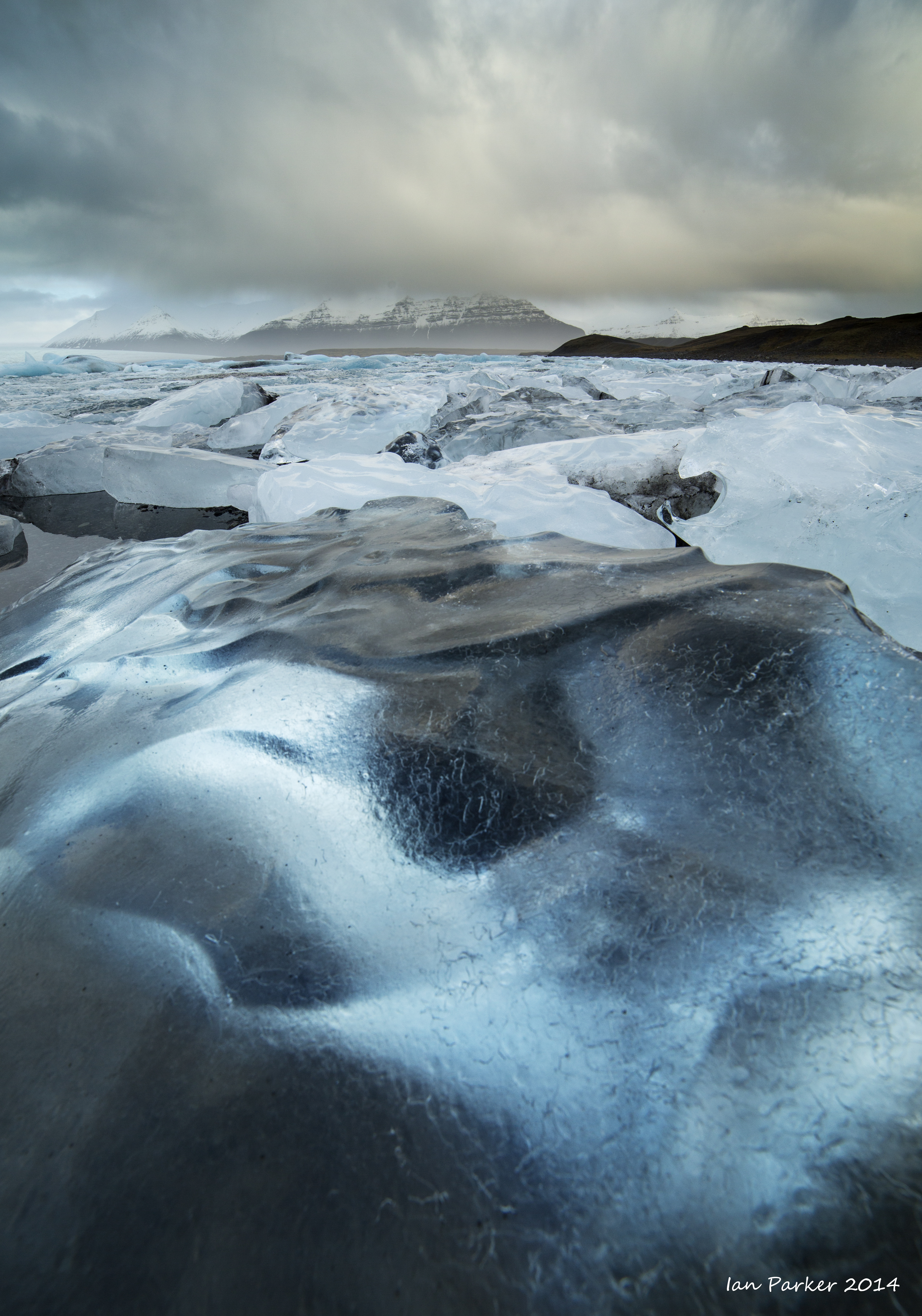
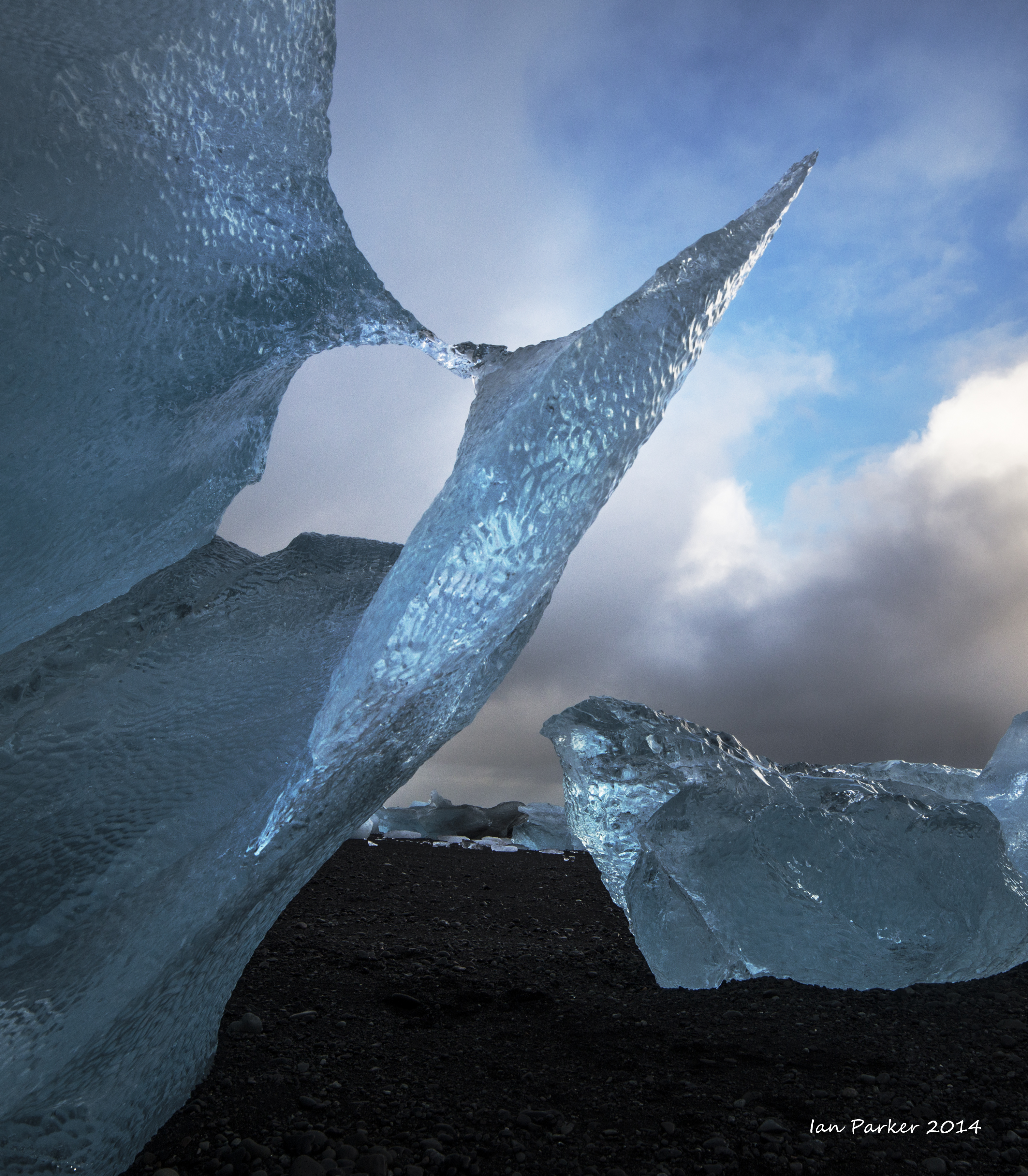
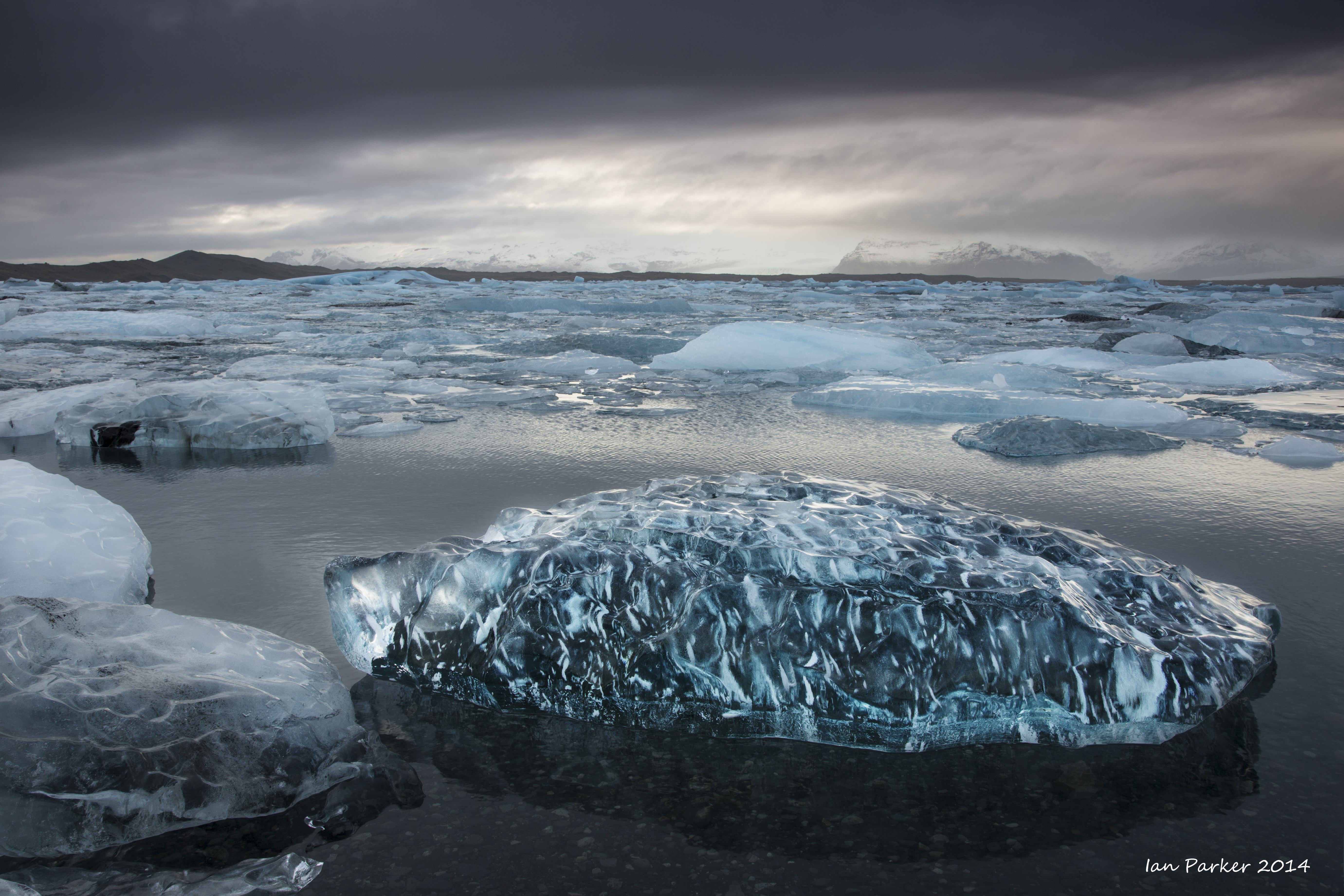
An advantage of the previous rain was that the bergs at
Jökulsárlón were washed sparkling clean.
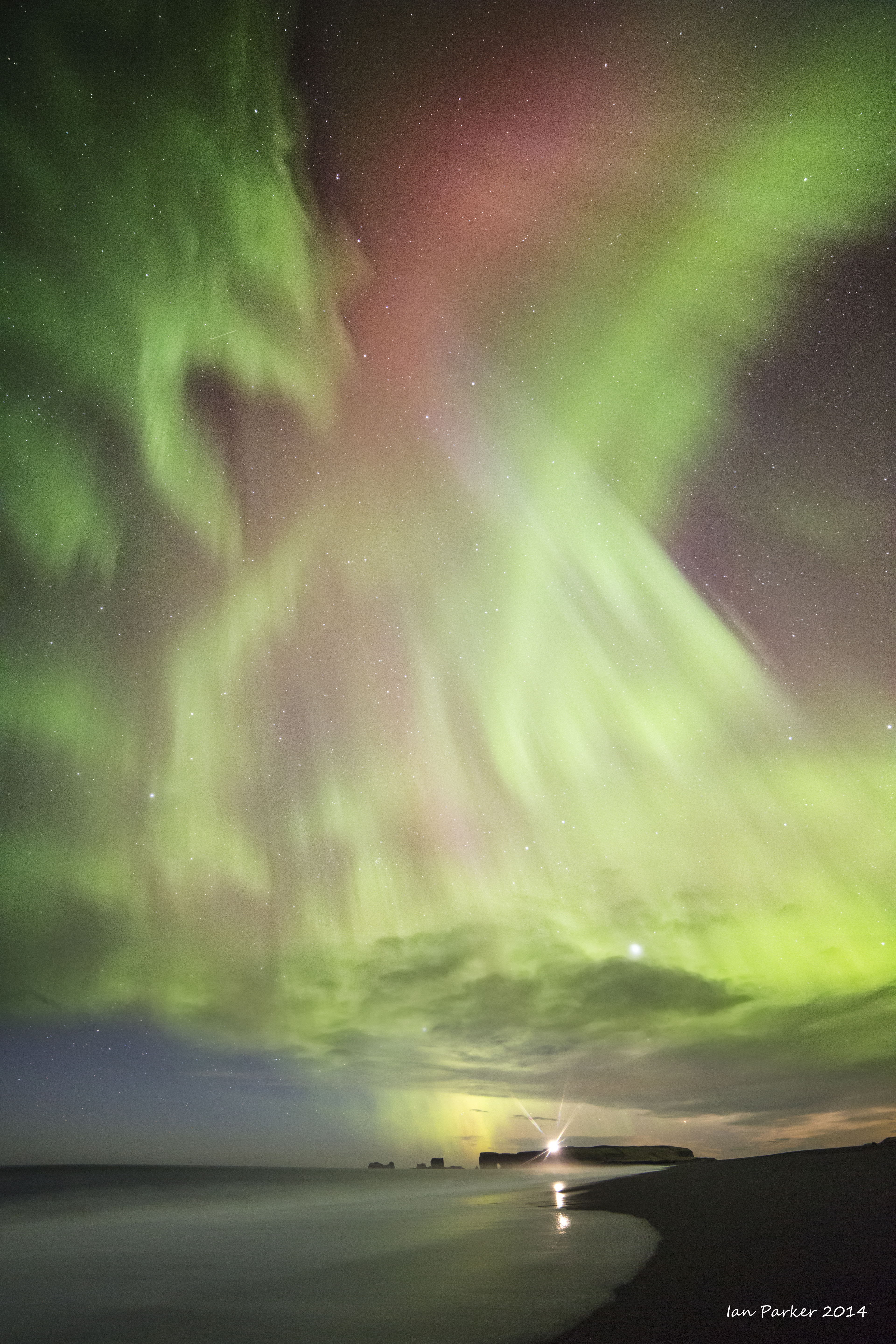
Finally, two nights of active aurora and reasonably clear skies.
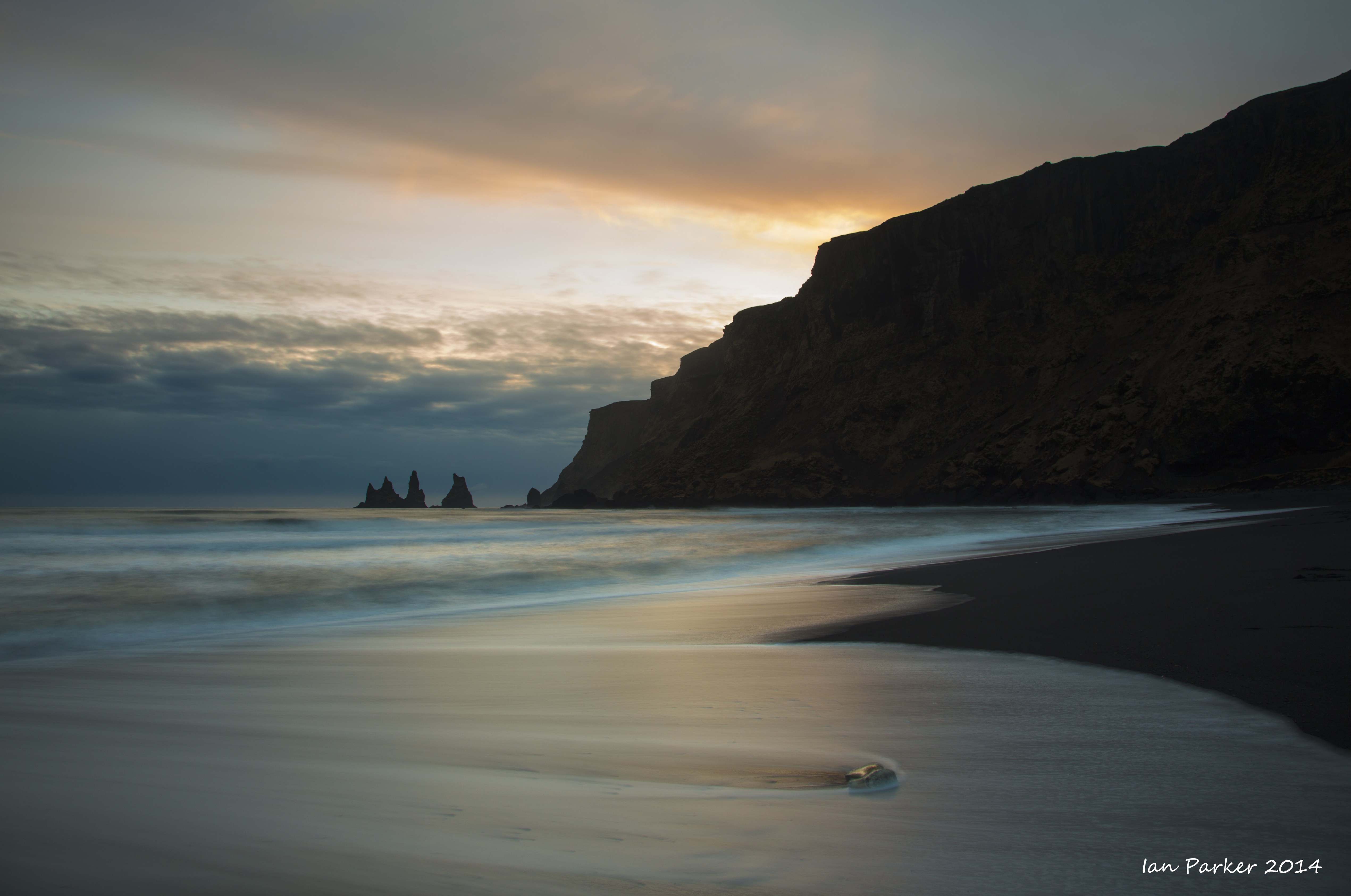
The first night we slept in the back of our rented SUV at Reynisfjara beach
and I woke at 4:00am to check out the aurora after the moon had set. Walking along the beach provided nice views to the east of the Reynisdrangar sea stacks, and to the west of Dyrholaey and its lighthouse. The aurora was quite active, with nice reds visible to the camera, though not to the eye.
And some miscellaneous photos while driving back to the airport.
Jan 18-20
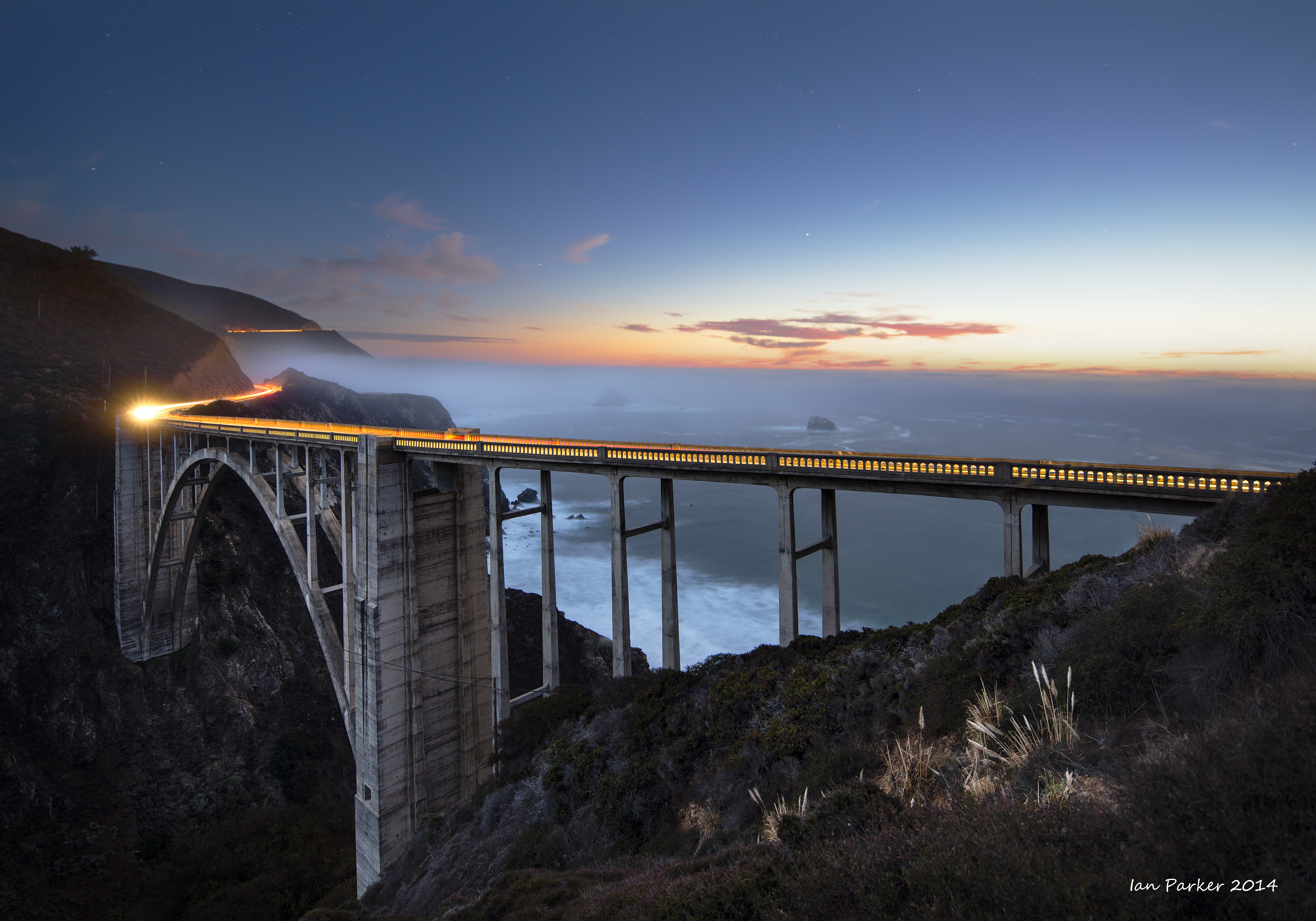
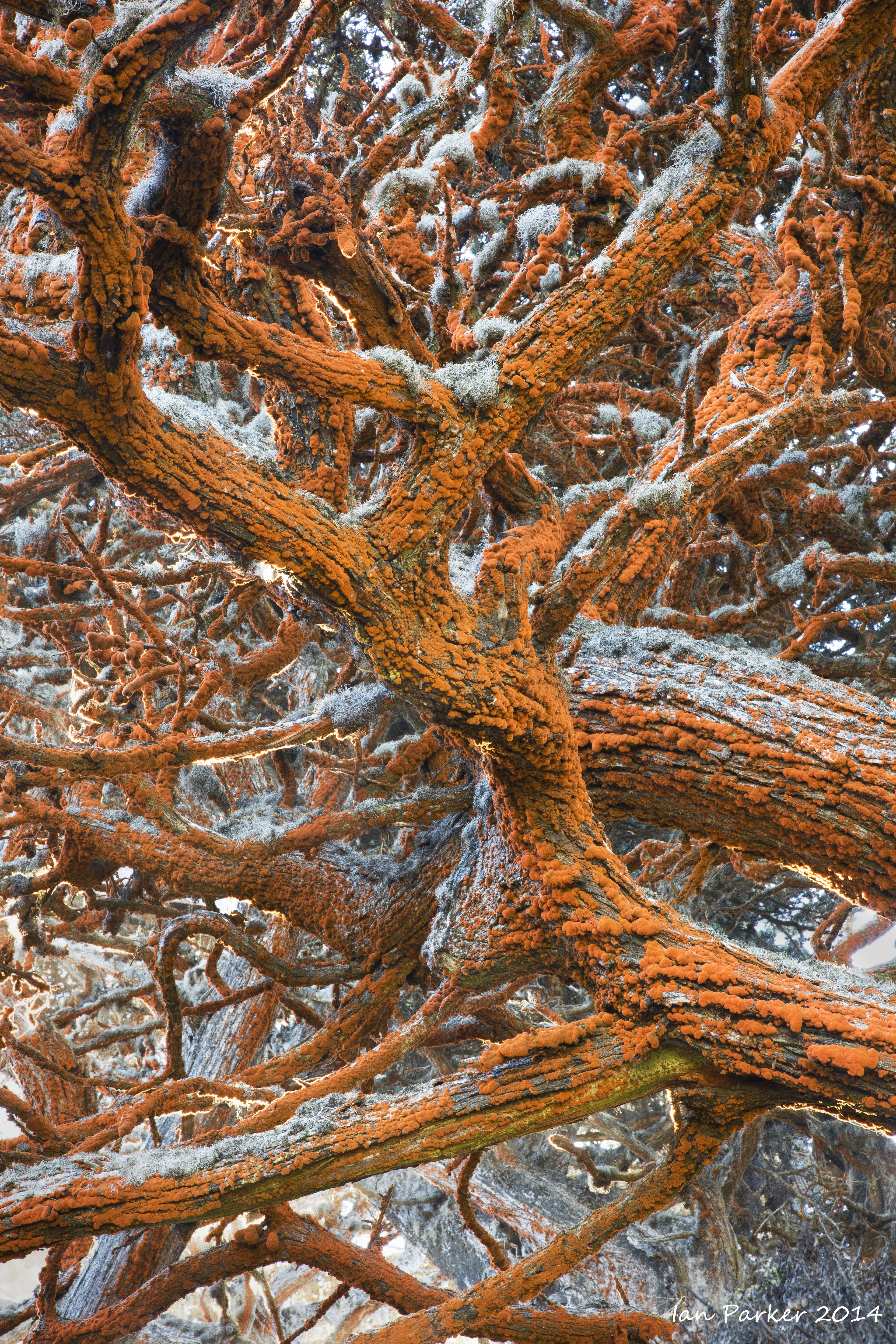
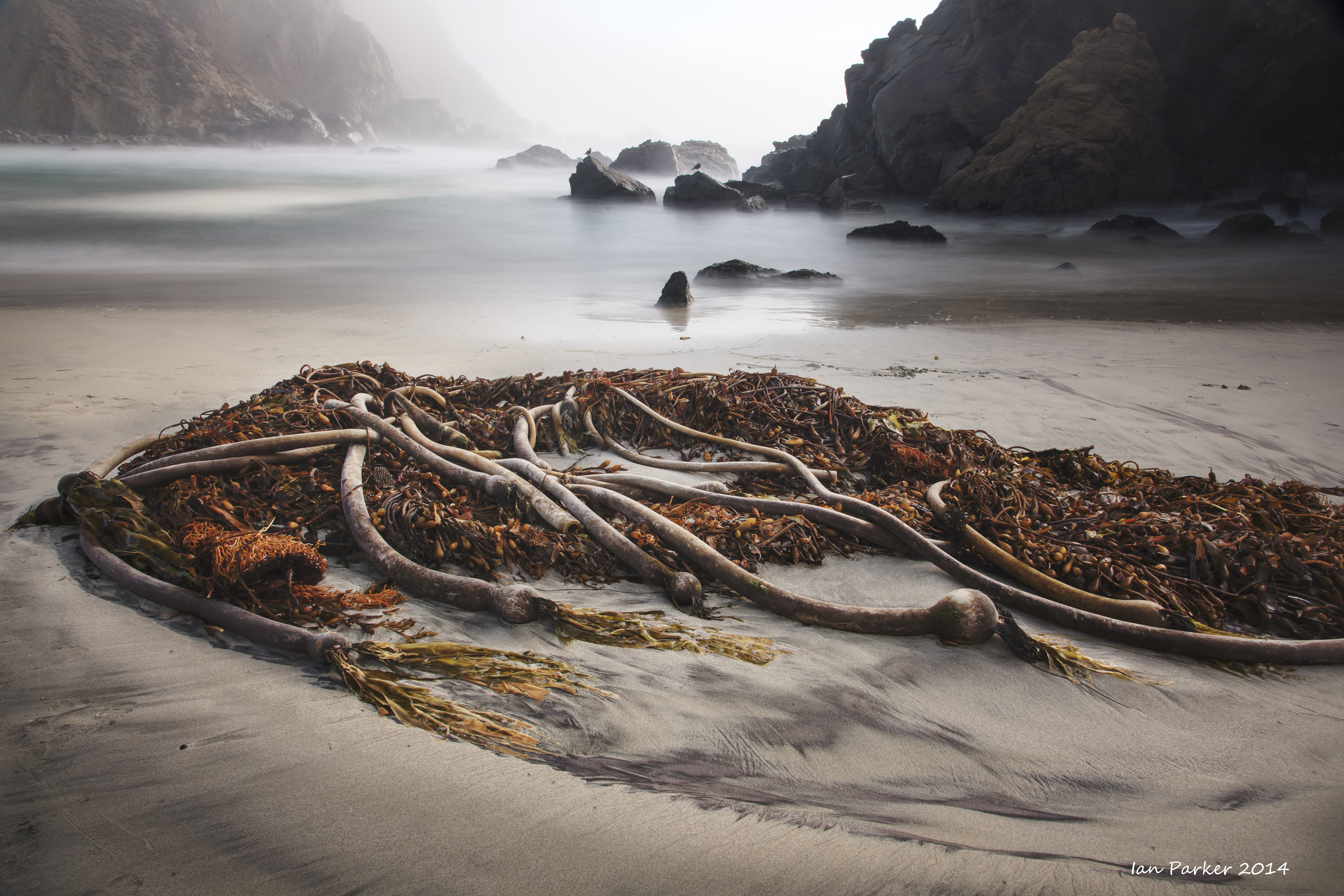
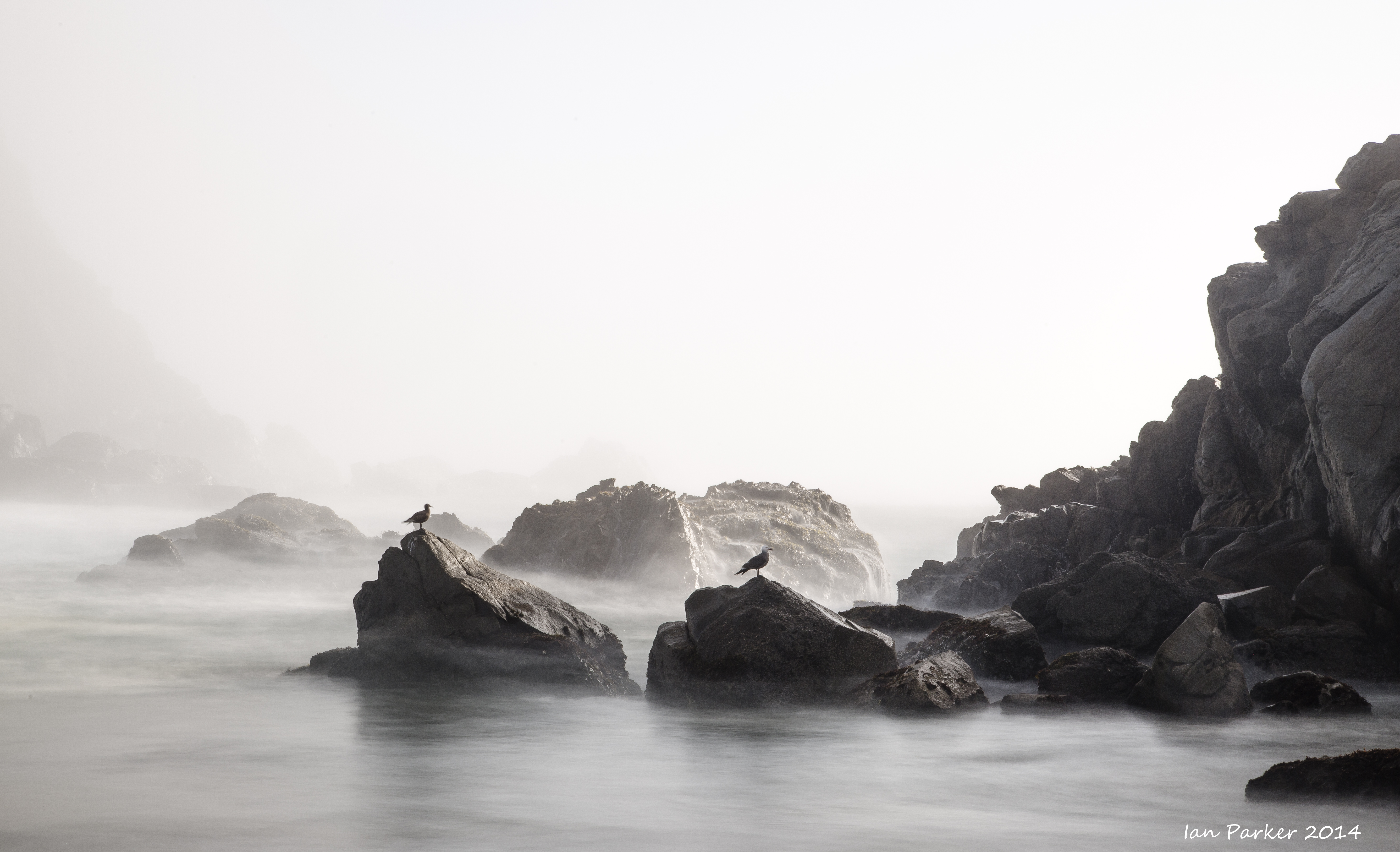
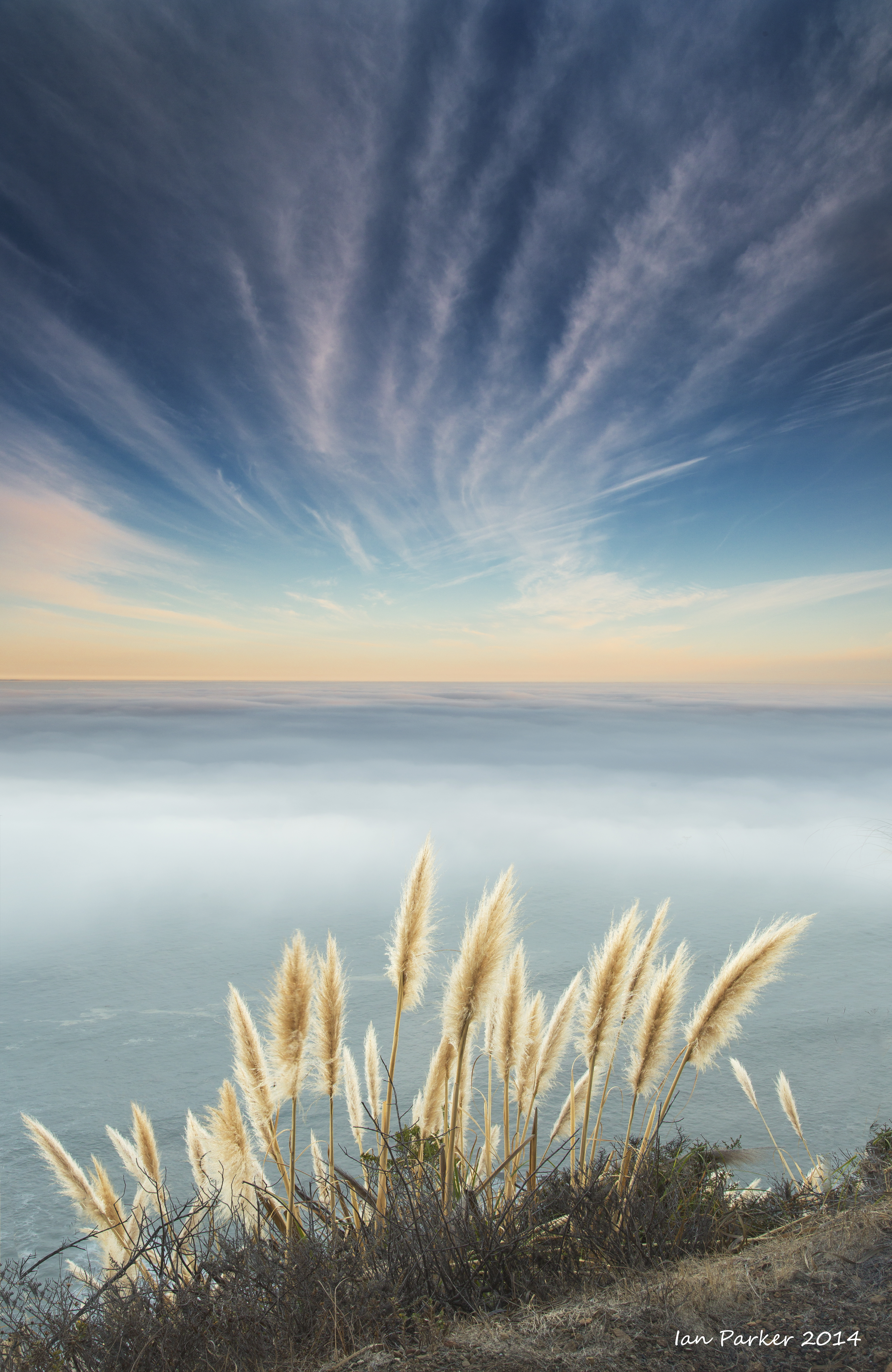
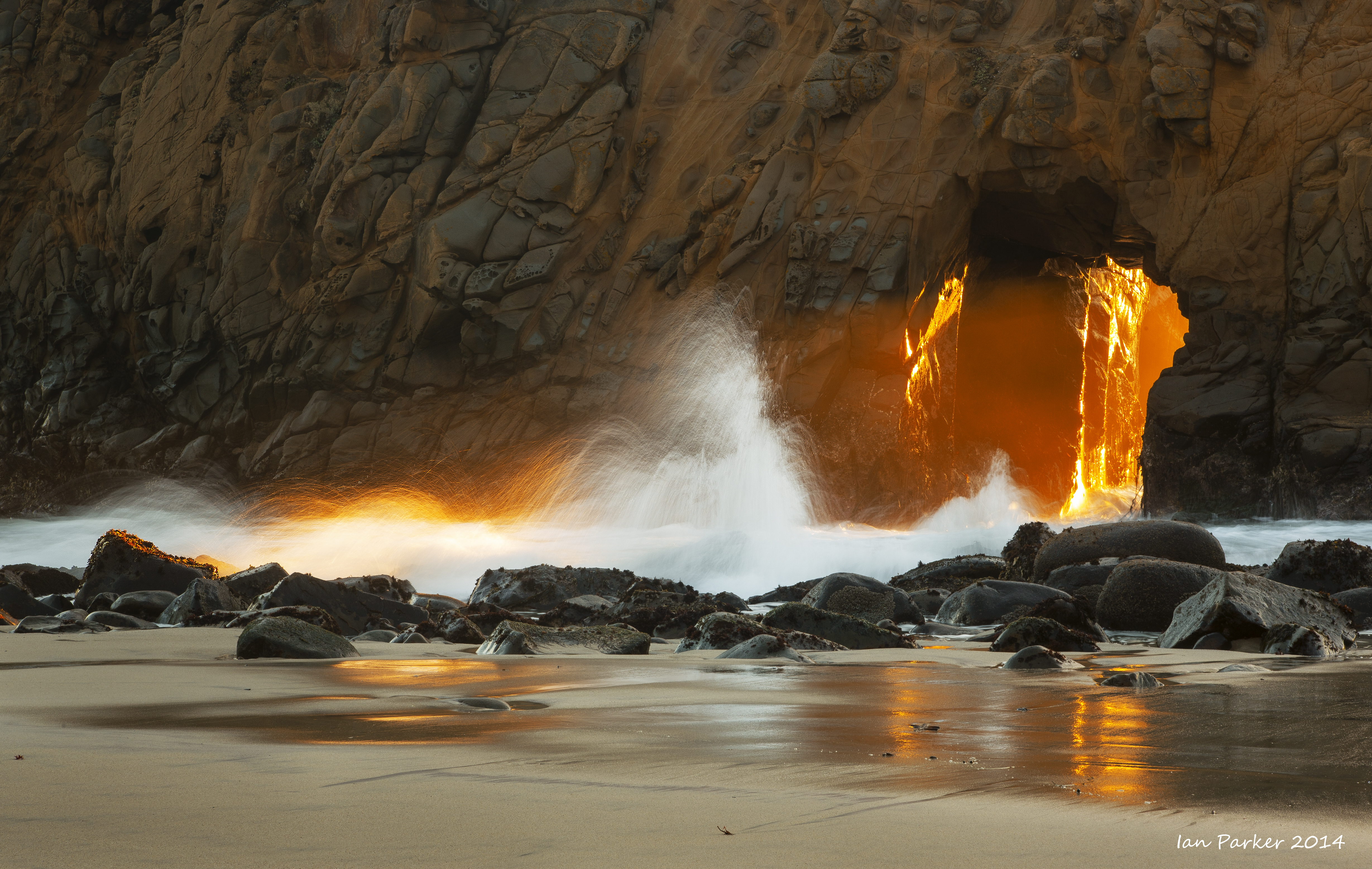
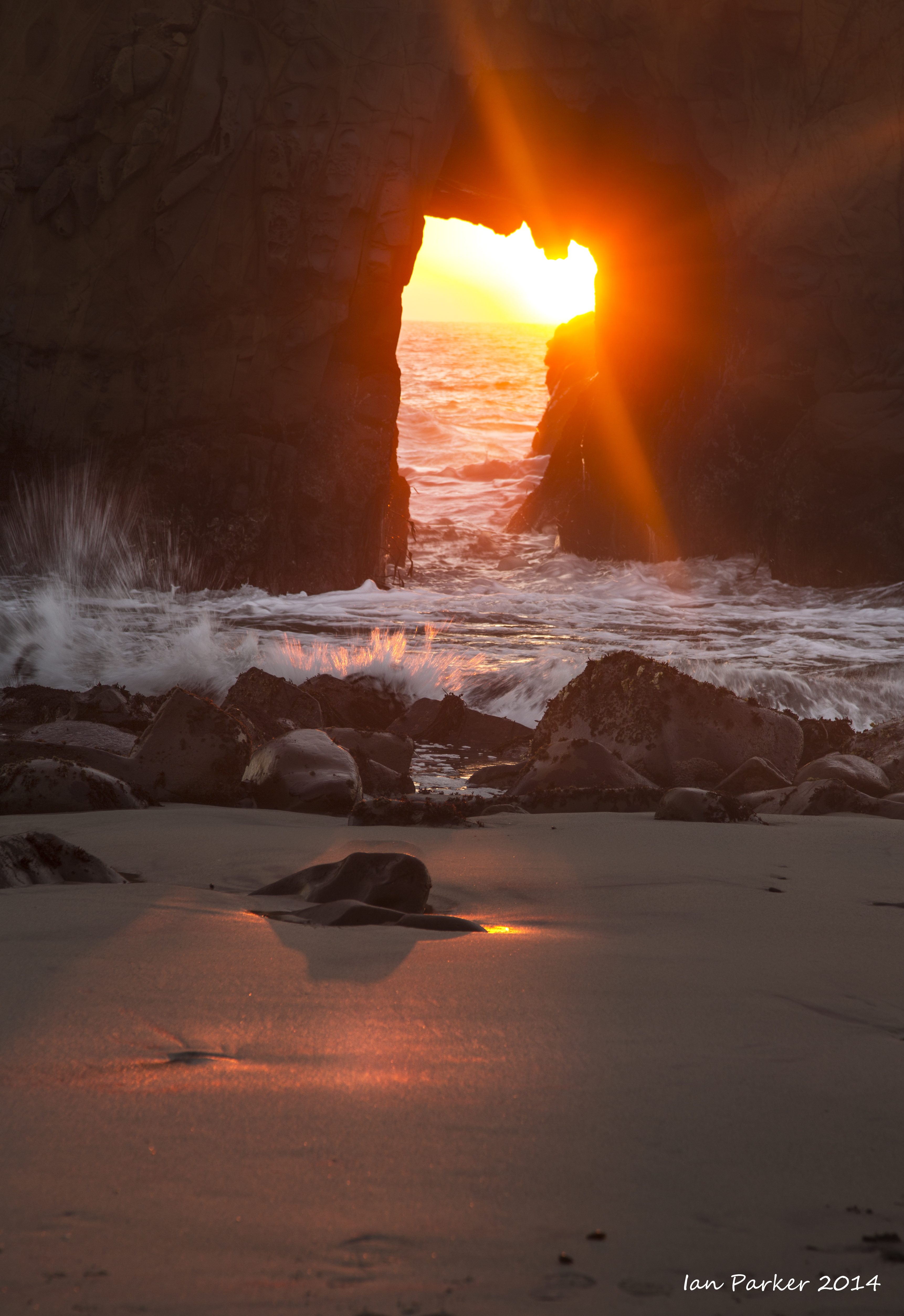
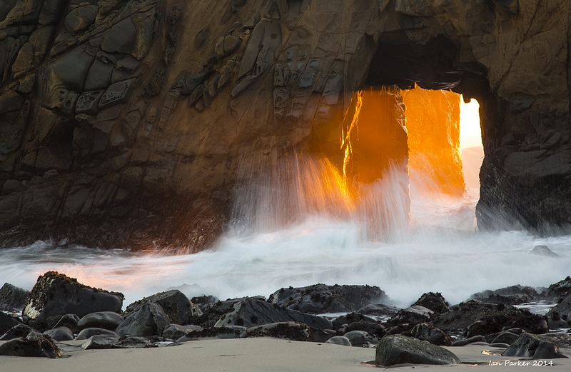
Big Sur and Point Lobos over the Martin Luther King weekend
Jan 4-5, 2014
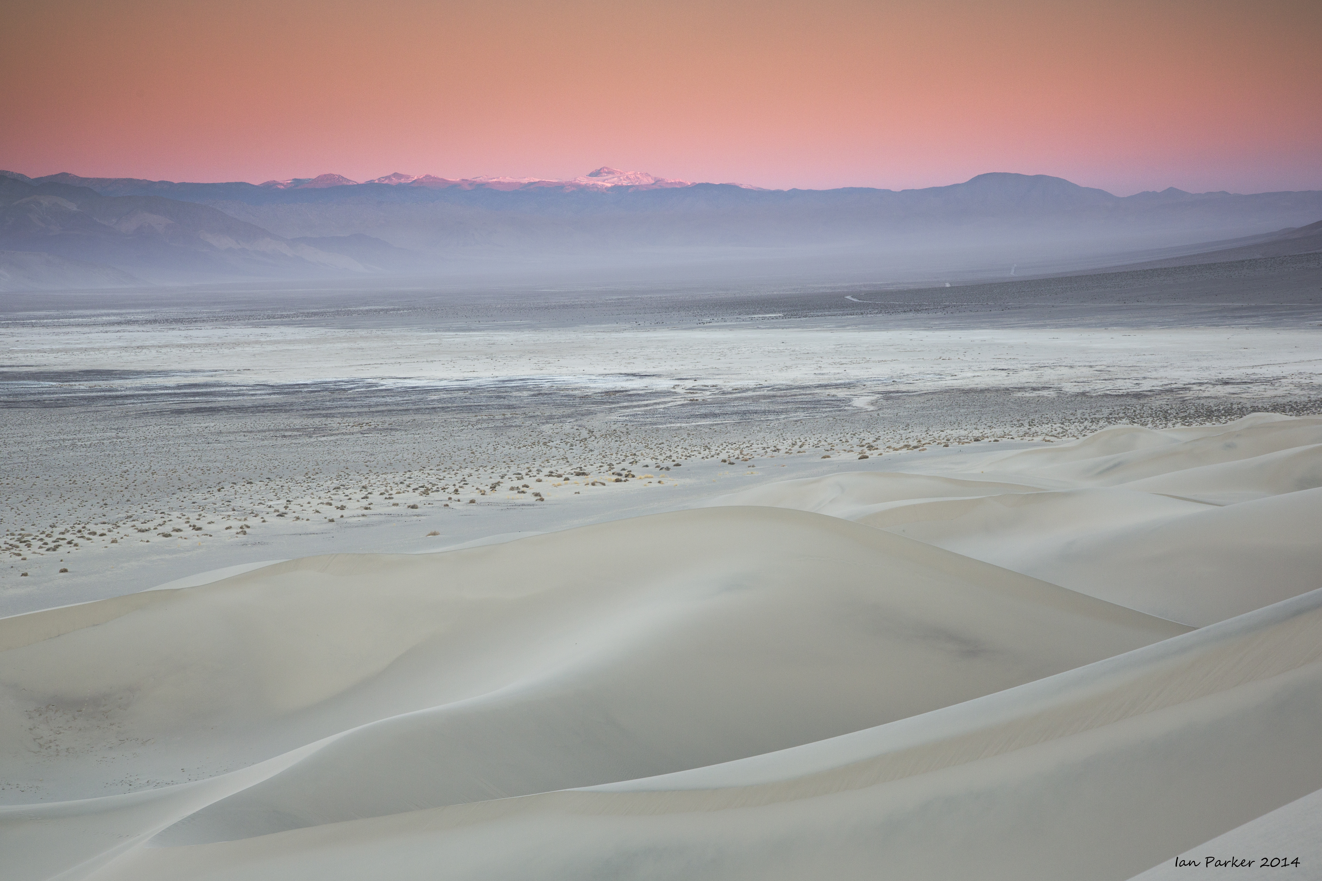
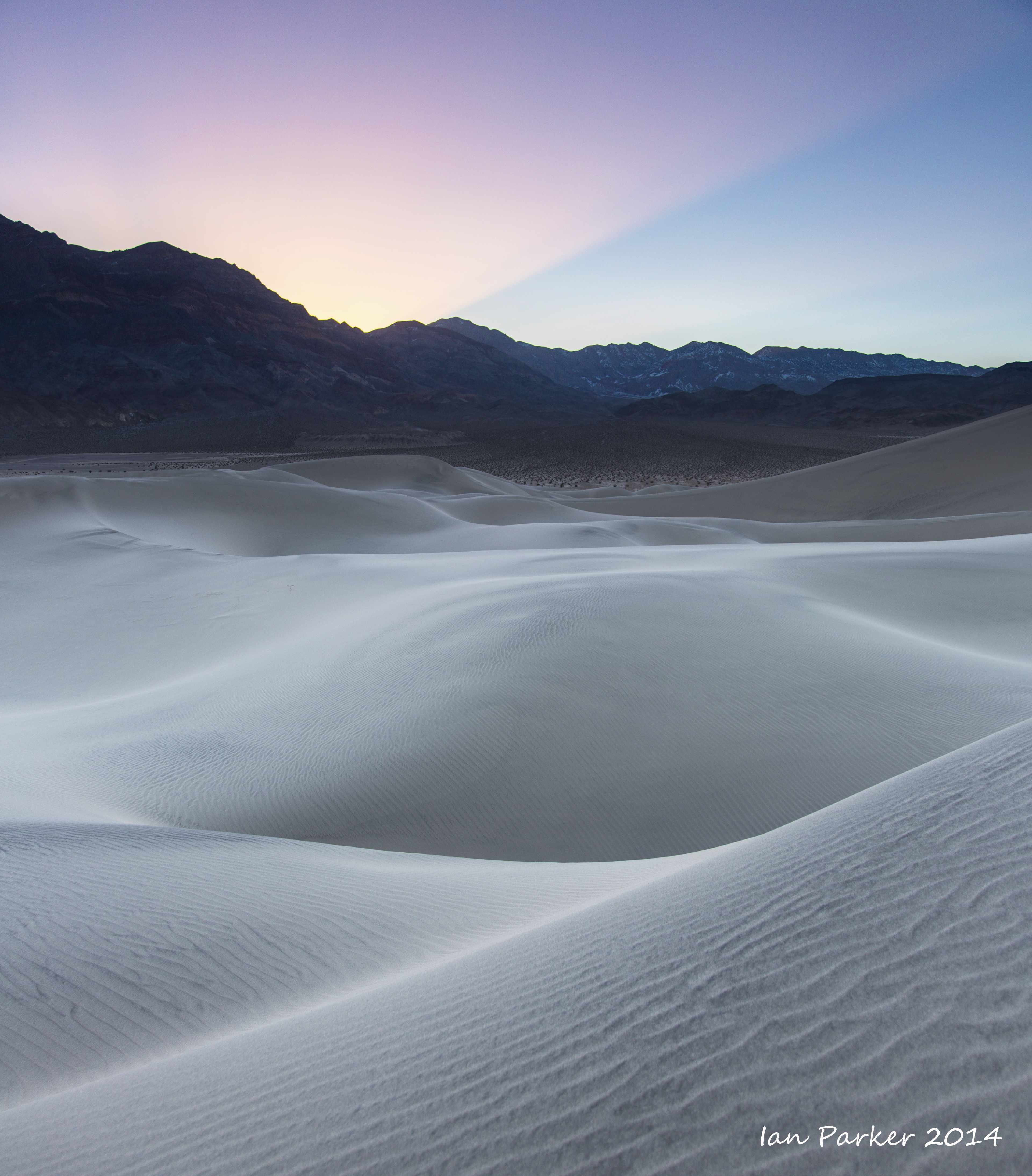
A weekend visit to the Eureka dunes and a drive over Steel Pass for the annual ceremony of adding rubber ducks to the marble bath.
|


